Every image is free to use — no credit required. See license below.
Jason D’s VisionSwitzerland
384 scenes
Country → Region → City
Wort des Tages · Word of the dayläng“long”·“Si säge no viu wenn dr Tag läng isch.”“They say a lot when the day is long.”Day 298 of 365
Our promise to creators
Beautiful, realistic imagery should never stand between a creator and their work. Everything in this gallery is free to use — for any purpose, forever, with no credit required. We make these images so the people doing the work always have something stunning to build on.
Gallery split across 3 pages — search & filters apply to this page only (scenes 151–300 of 384).
No scenes match that search.
CH-01-151
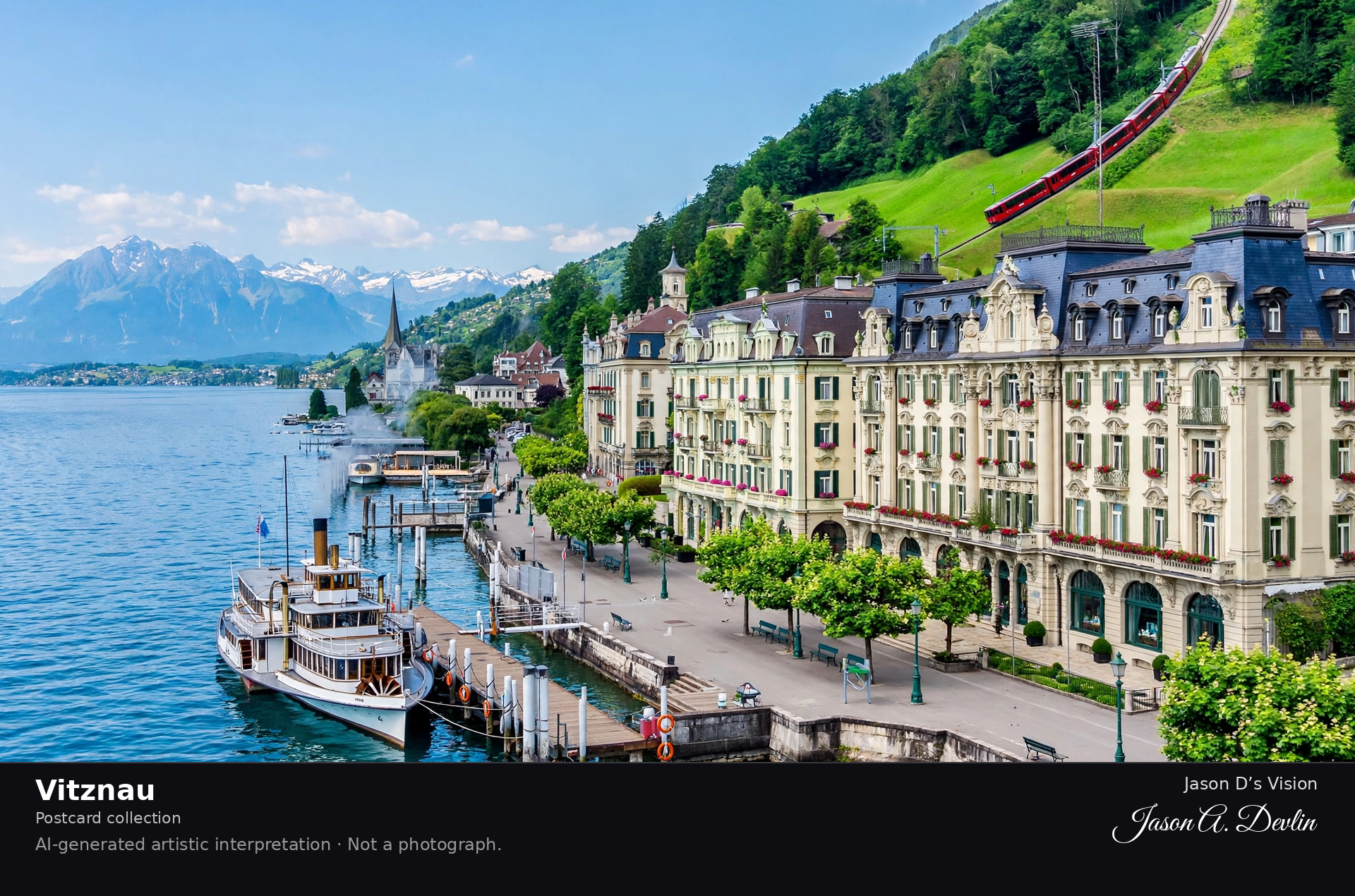
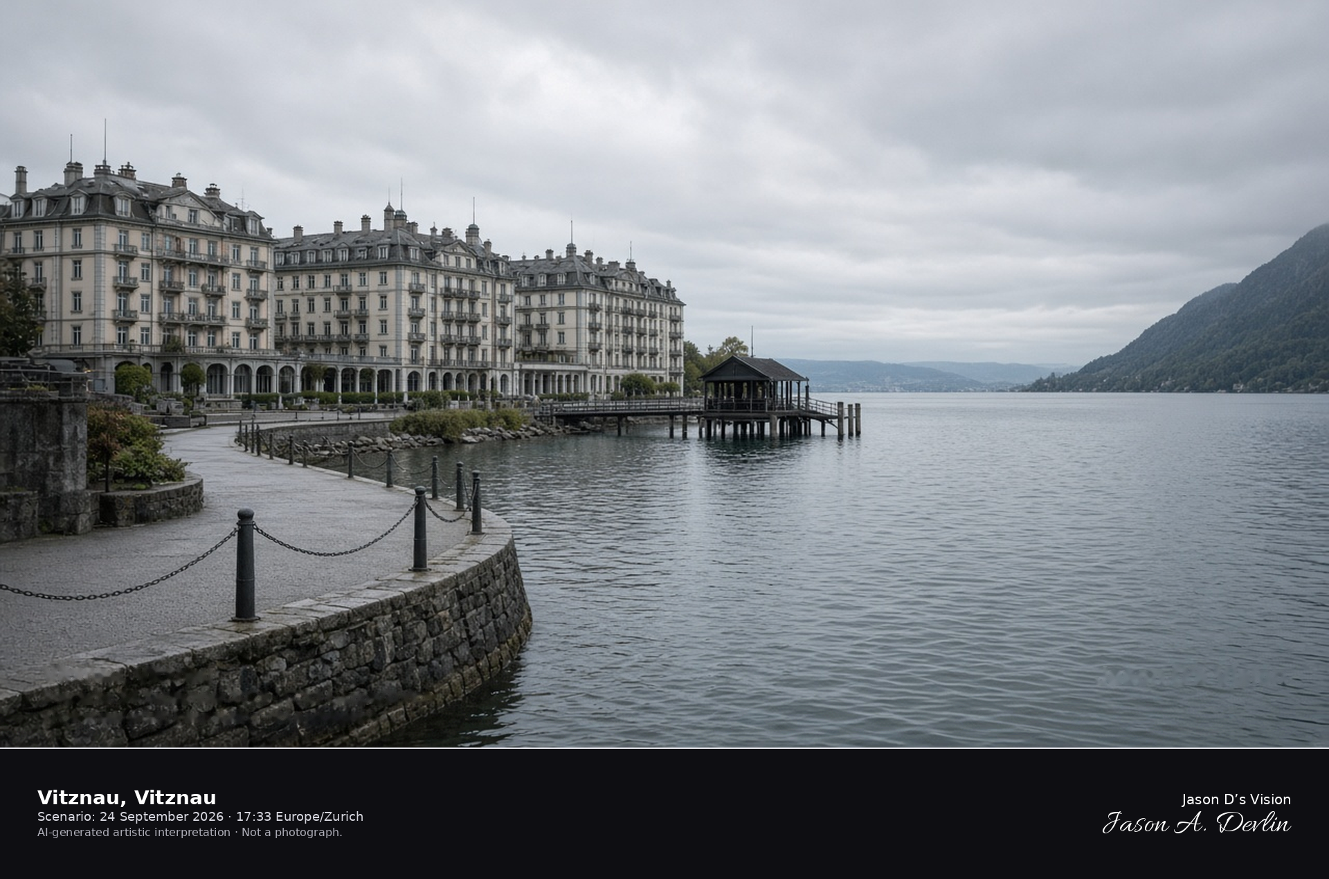
Vitznau, Vitznau
Postcard collection
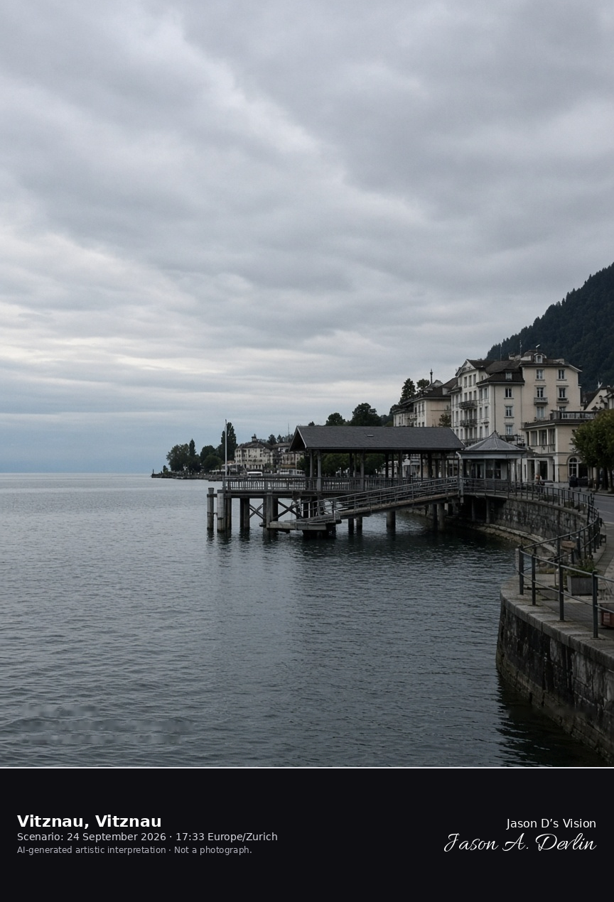
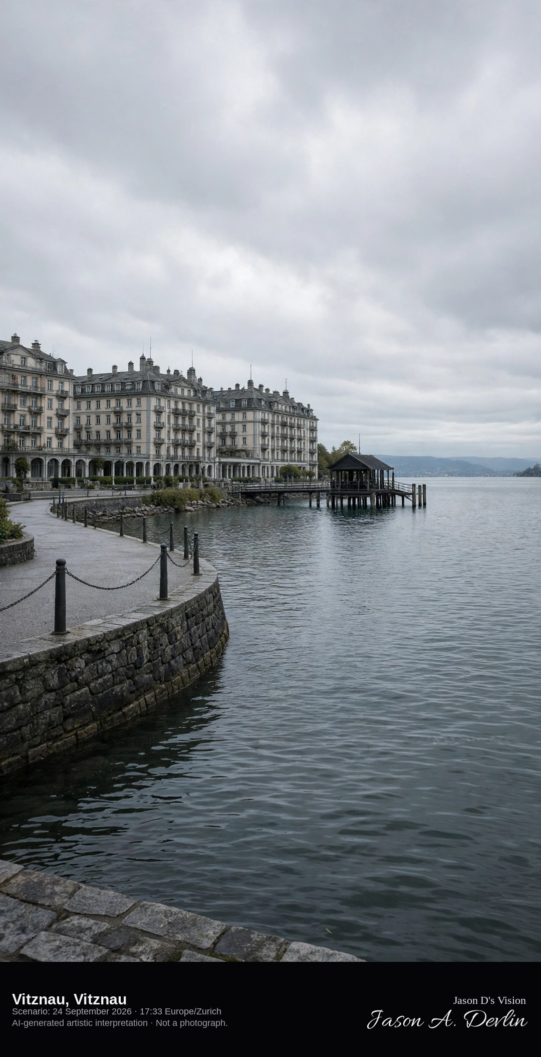
Vitznau quay and steamer pier on Lake Lucerne · AI-generated artistic interpretation
Vitznau’s lakefront is the quay, the steamer pier, and the hotel row where the bay of Lake Lucerne opens. Mount Rigi, already catalogued as the ridge behind the village, stays at the edge of the frame and is not the subject. The Open-Meteo model is fully overcast and mild, with a fresh breeze and no rain.
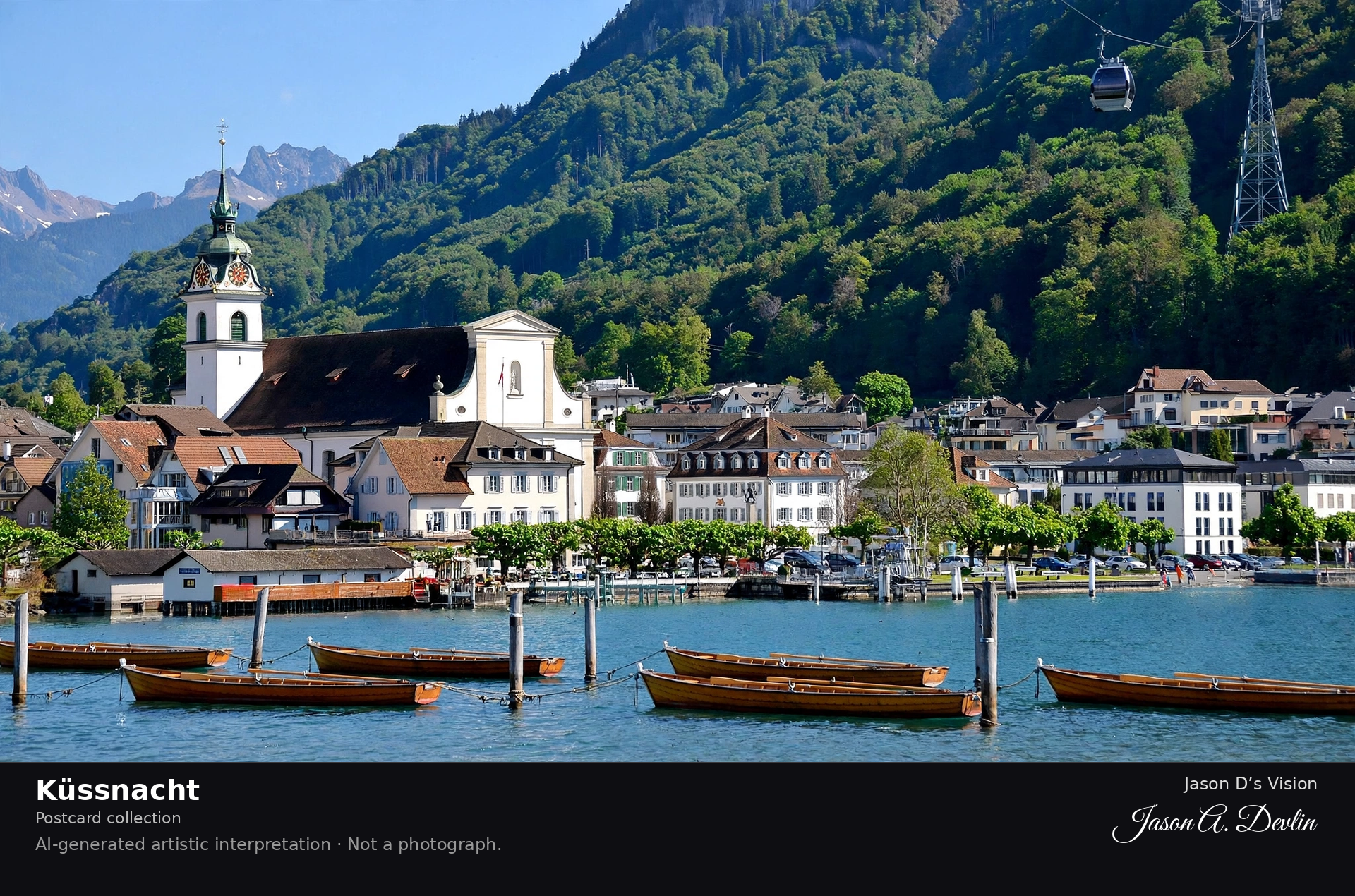
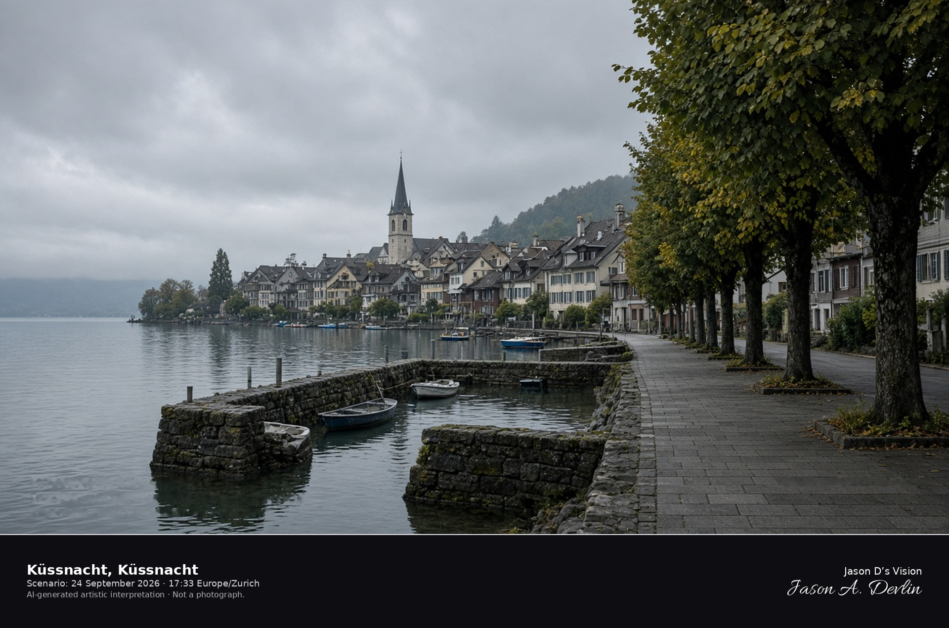
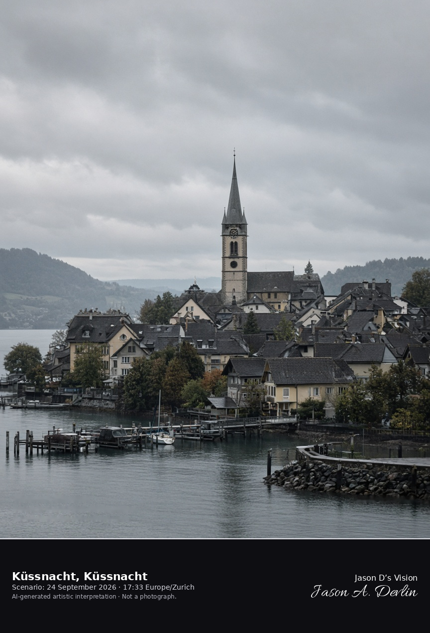
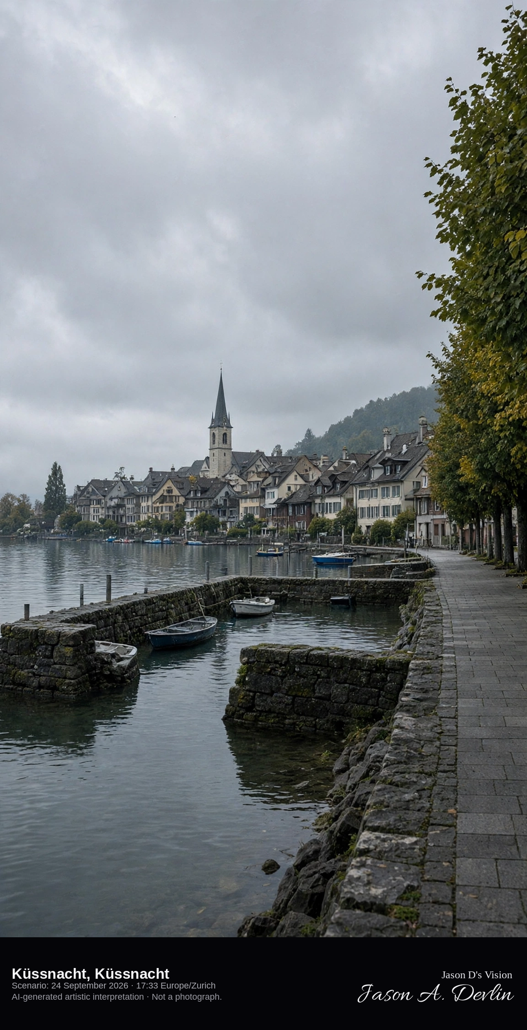
Küssnacht lakefront on the Küssnacht arm of Lake Lucerne · AI-generated artistic interpretation
Küssnacht lines the north shore of the Küssnacht arm of Lake Lucerne, with a small harbor, a church tower, and the old-town roofs. The official name since 2004 is Küssnacht. The frame is this shore, not the Hohle Gasse and not the Rigi summit. The Open-Meteo model is fully overcast and mild, with no rain.
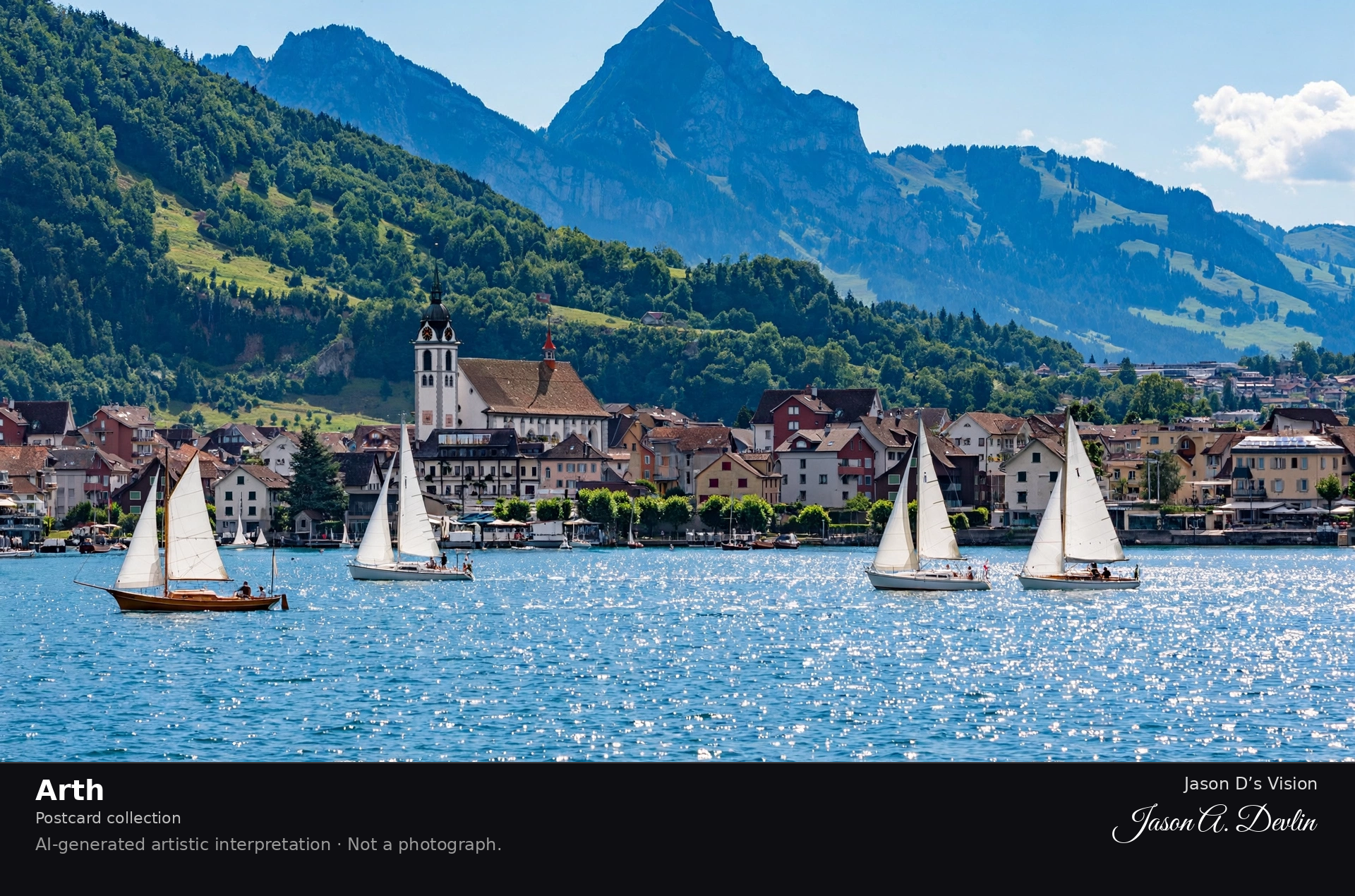
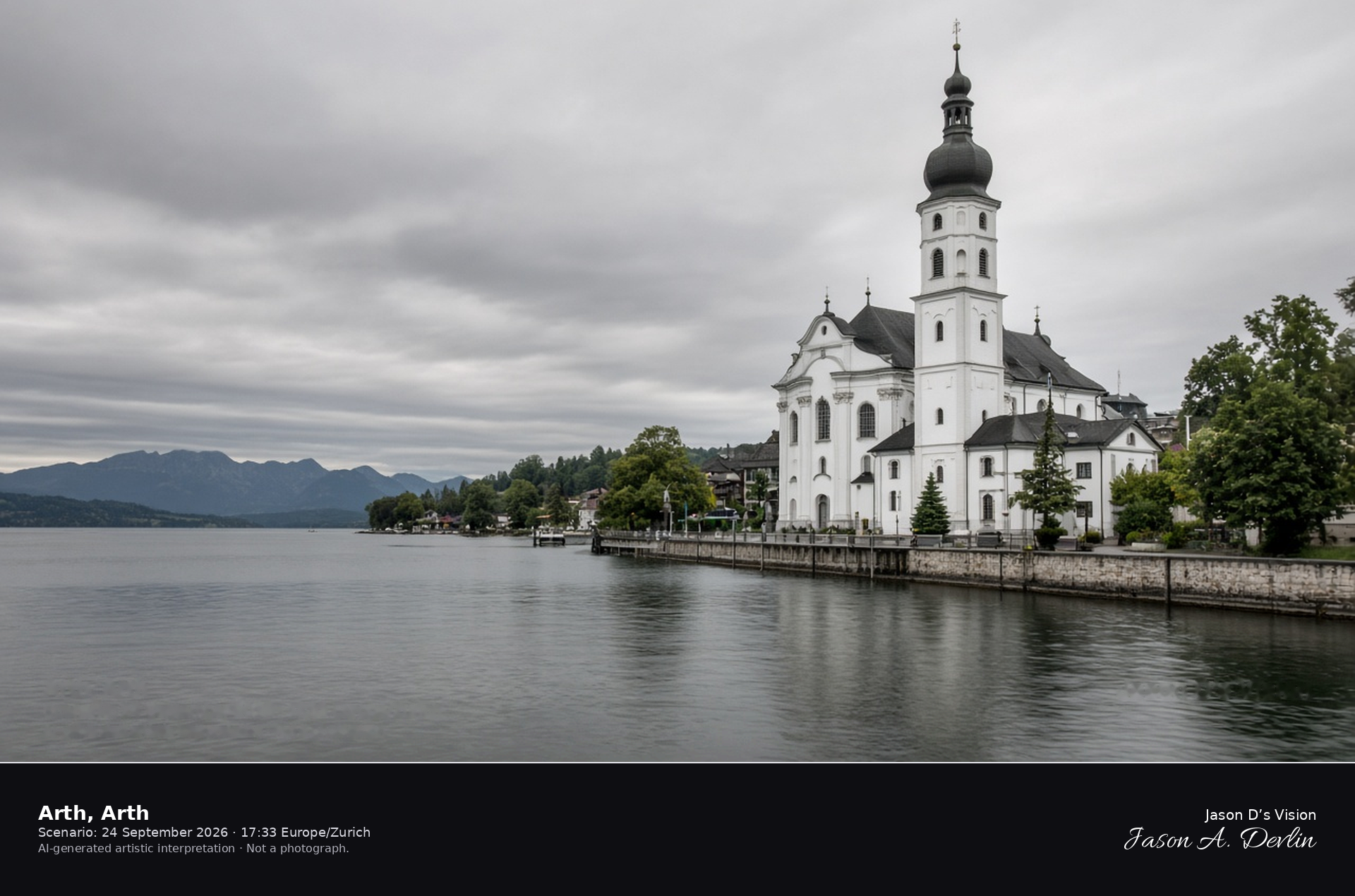
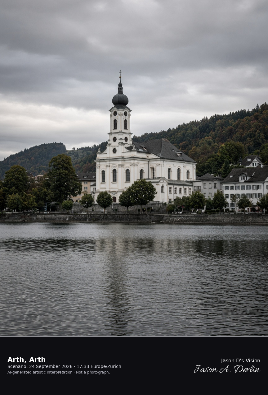
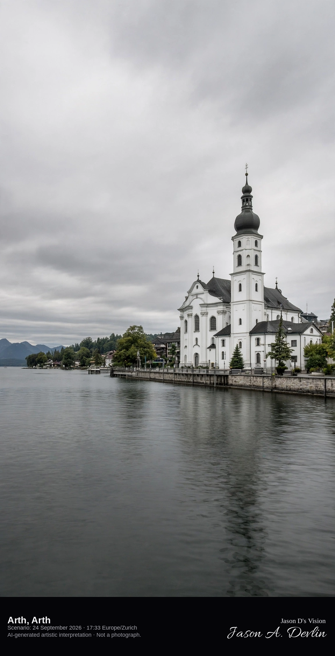
Arth parish church on the south shore of Lake Zug · AI-generated artistic interpretation
Arth is the lakeside village on the south shore of Lake Zug, with the baroque parish church and its onion tower beside the promenade. Arth-Goldau is the railway station in the inland locality of Goldau, inside the same municipality, and that station is not the scene. The Open-Meteo model is fully overcast and mild, with a breeze and no rain.
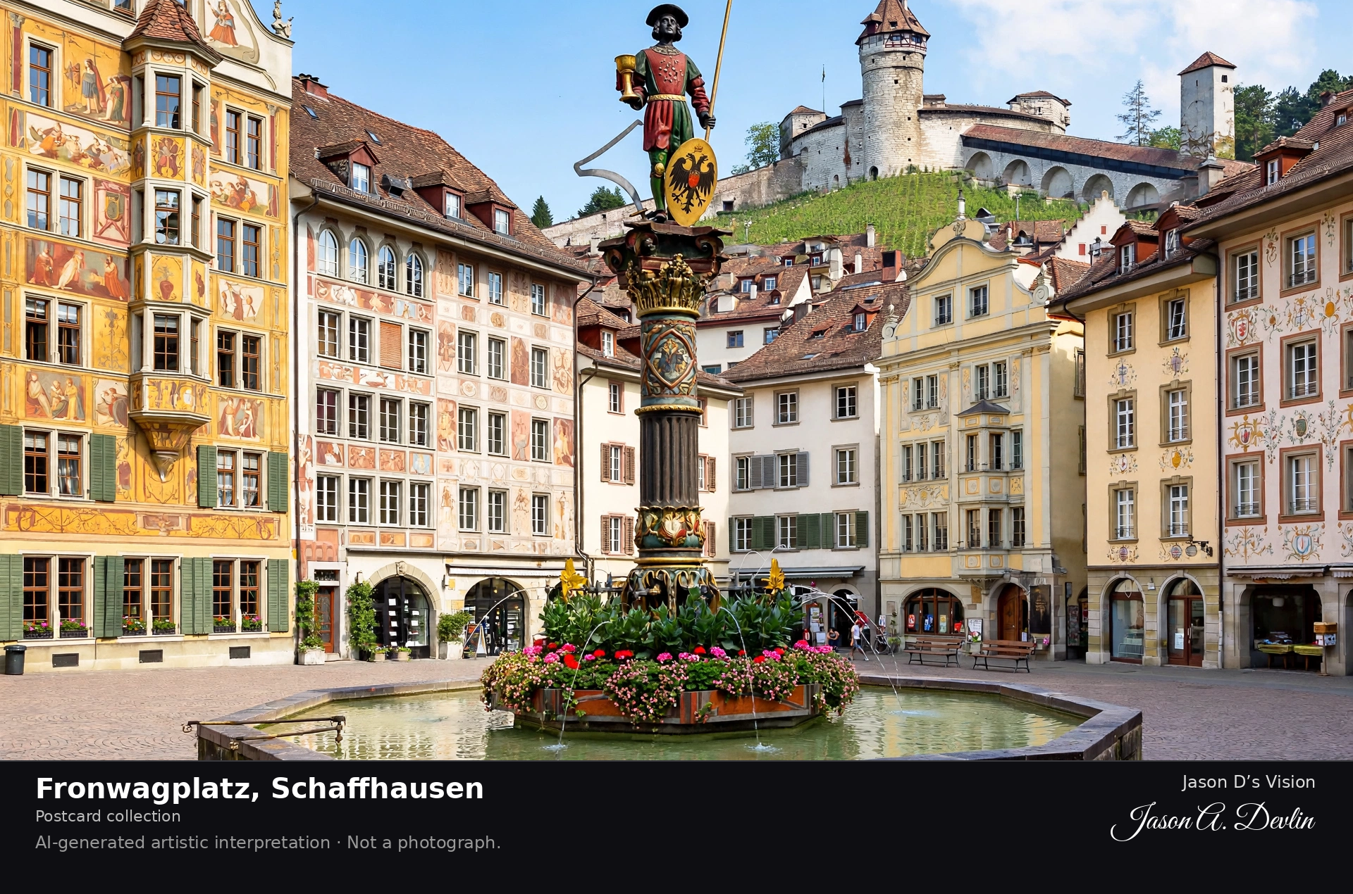
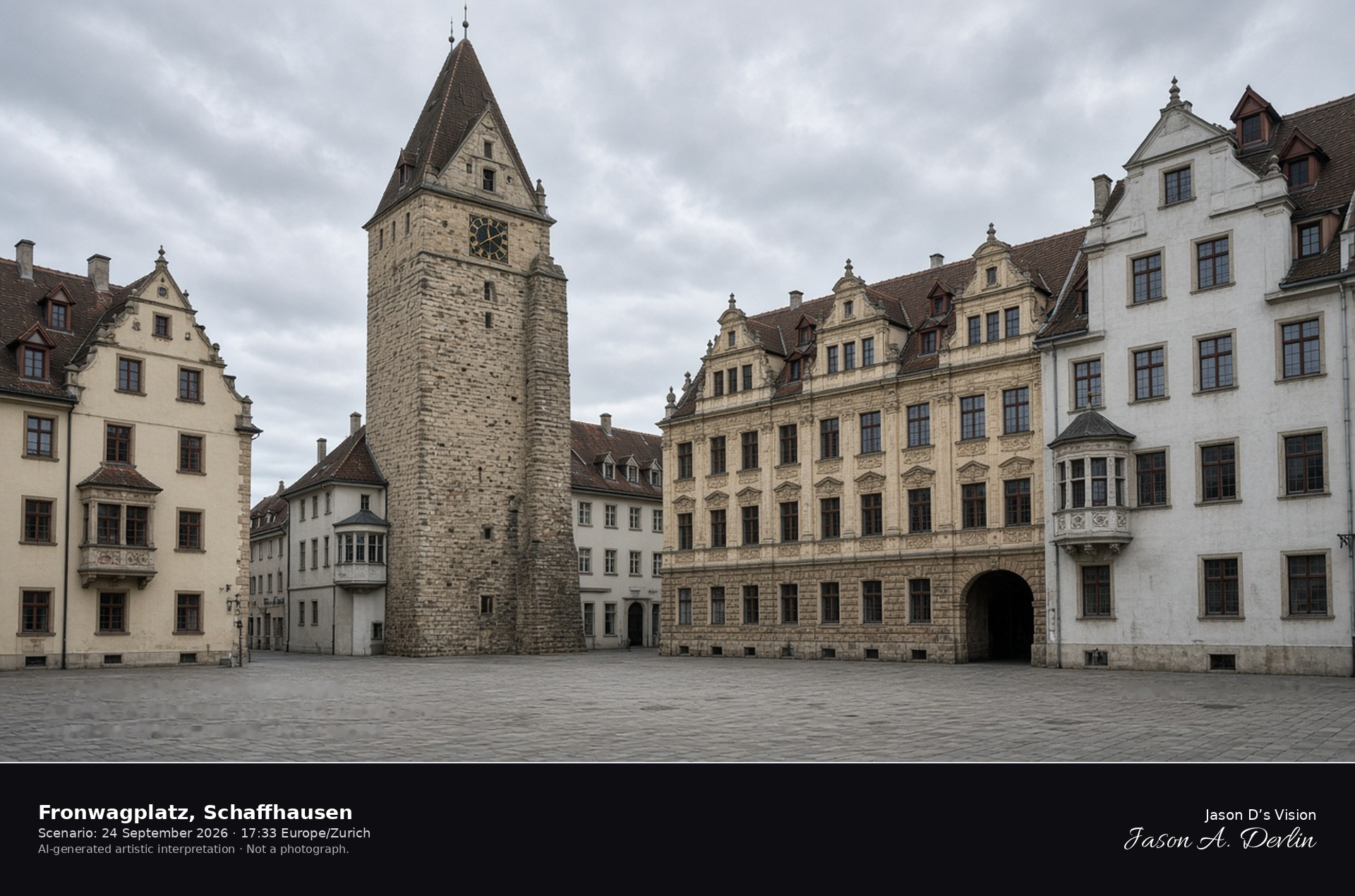
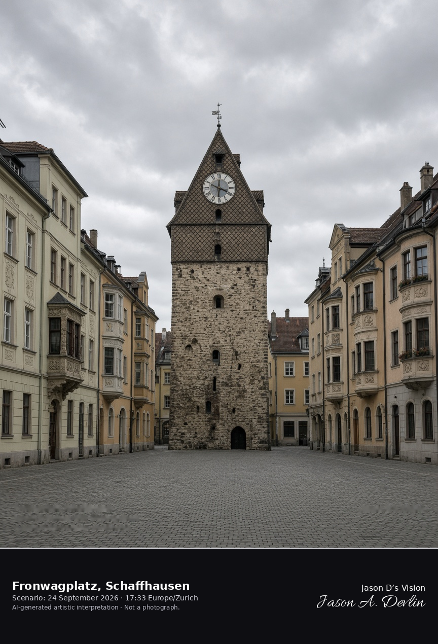
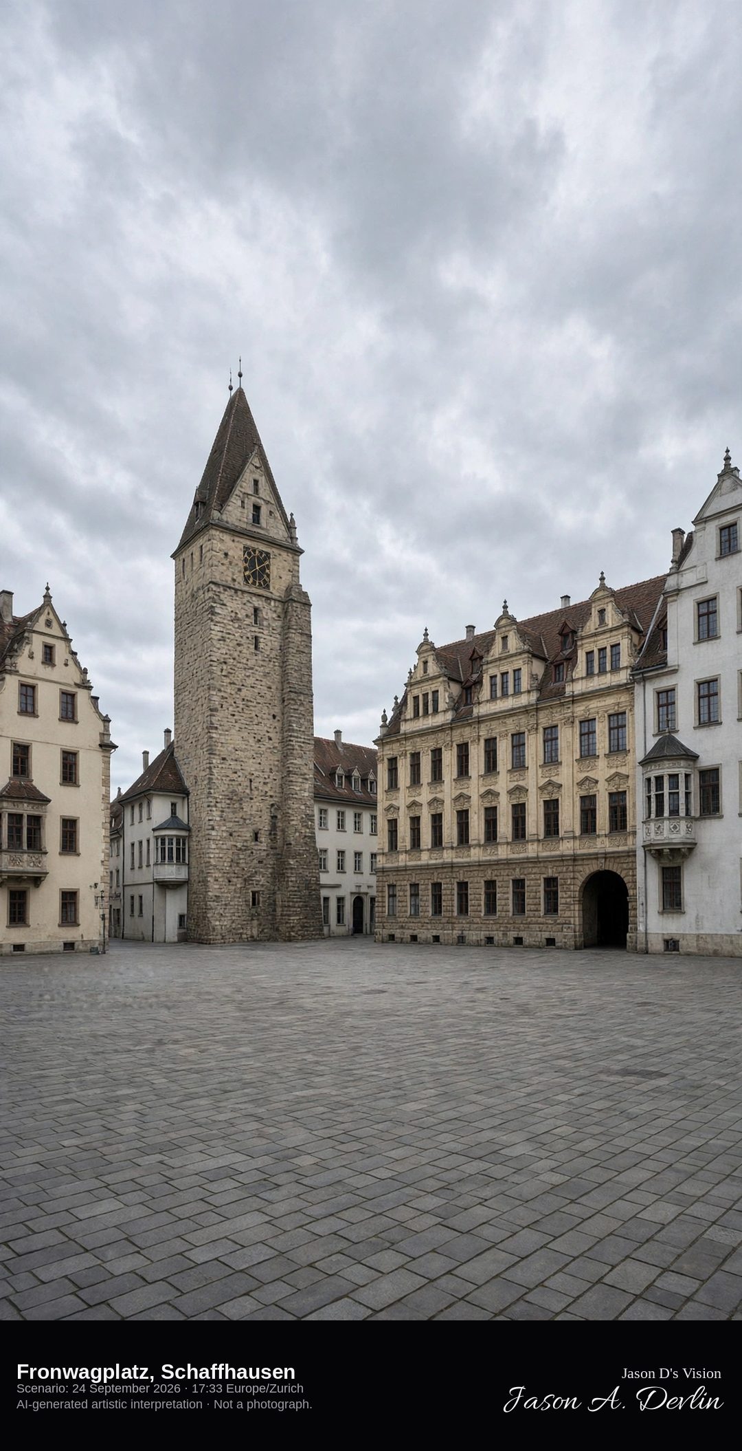
Fronwagturm on Fronwagplatz in Schaffhausen · AI-generated artistic interpretation
Fronwagplatz is the main square of Schaffhausen’s old town, closed on the south by the Fronwagturm and the guild house beside it. Burgher houses with oriel windows ring the paving. This is not the Munot and not the Rhine Falls, both already catalogued. The Open-Meteo model is fully overcast and mild, with a breeze and no rain.
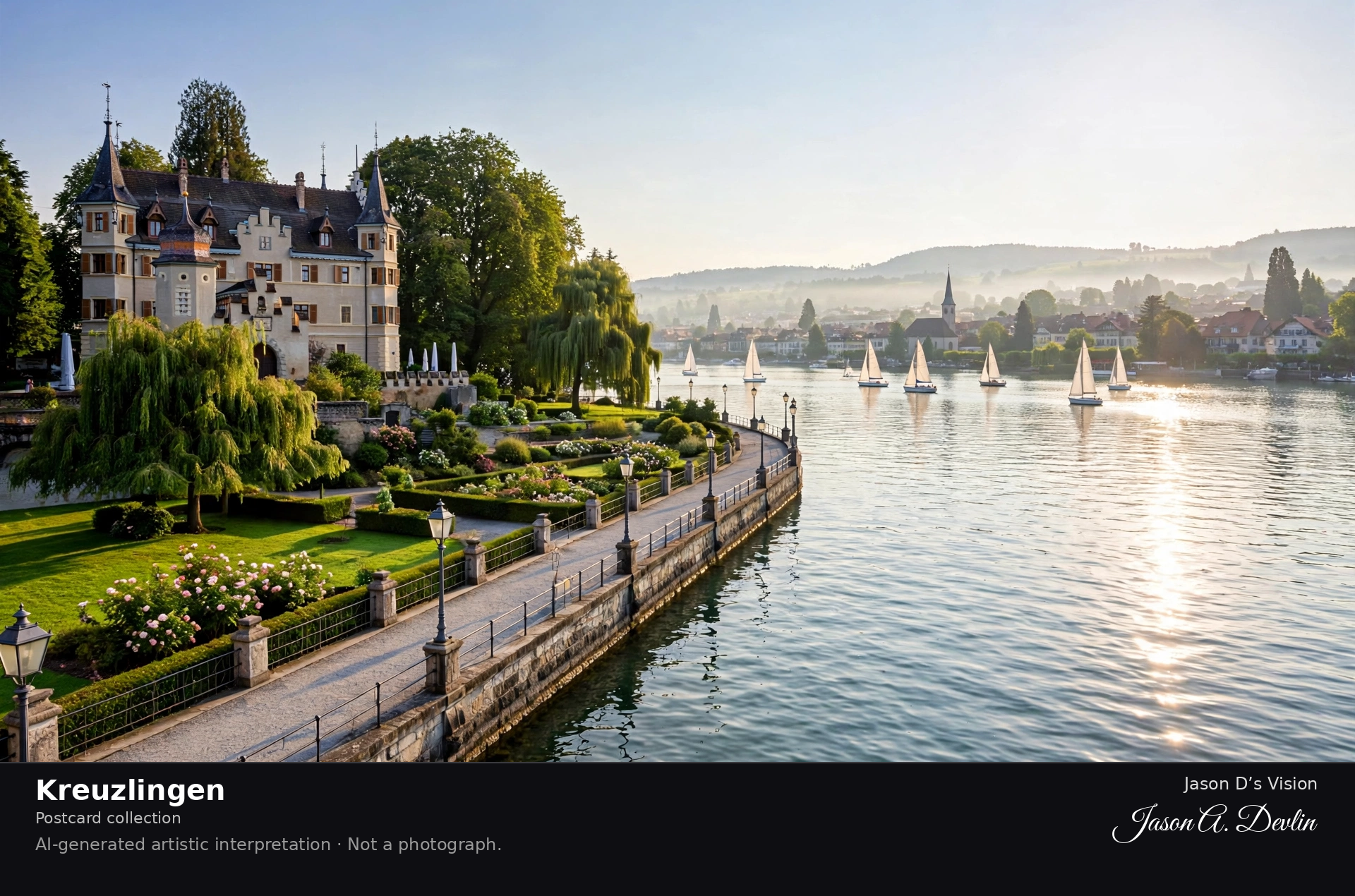
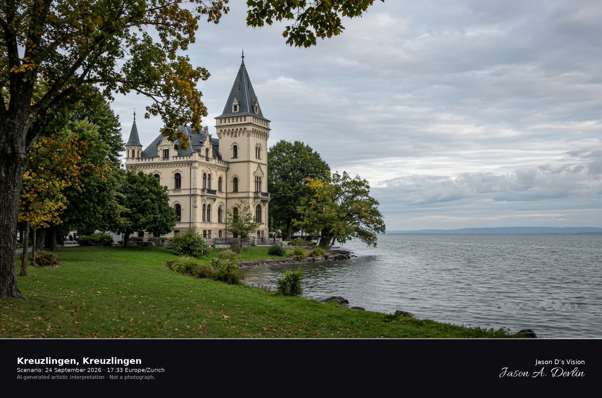
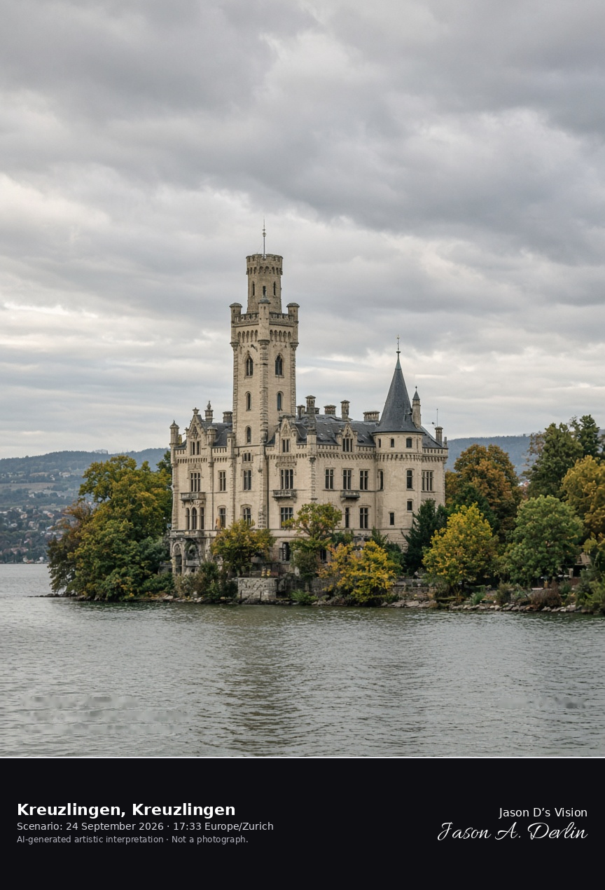
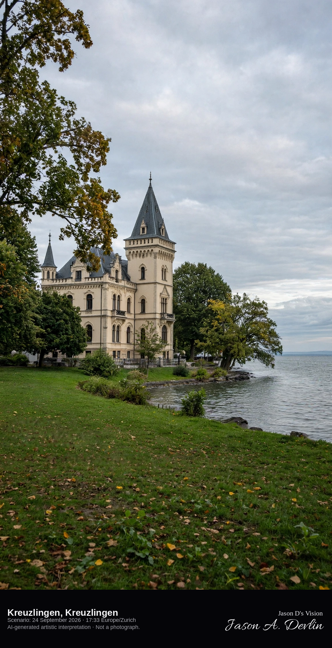
Seeburg park on the Kreuzlingen shore of Lake Constance · AI-generated artistic interpretation
Kreuzlingen meets Lake Constance at Seeburg, the historicist house rebuilt in 1870 and set in a park on the Swiss shore. The water here is the Konstanz end of the lake, not the Untersee quay of Steckborn already catalogued, and the German old town is not the subject. The Open-Meteo model is fully overcast and mild, with a breeze and no rain.
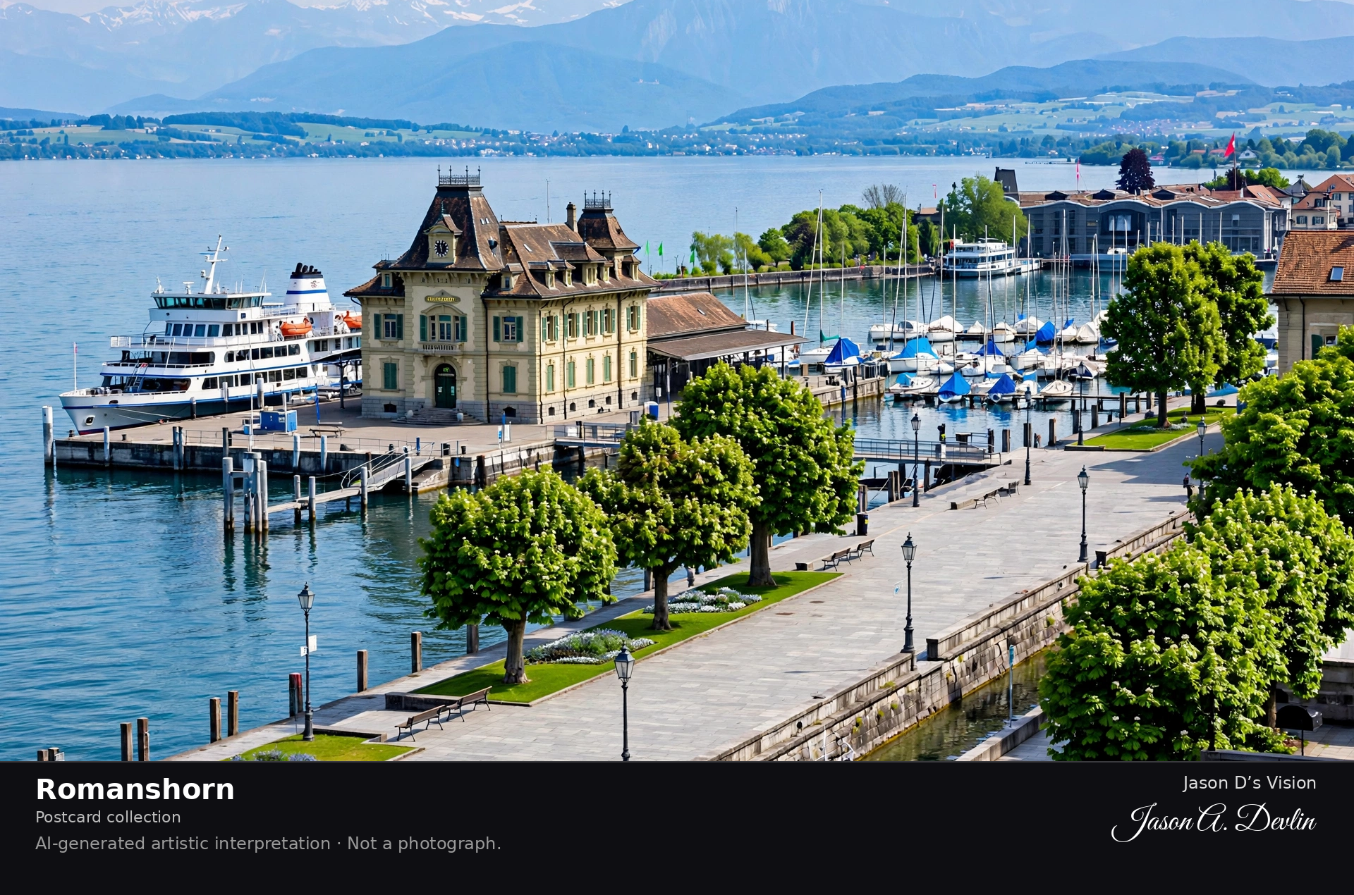
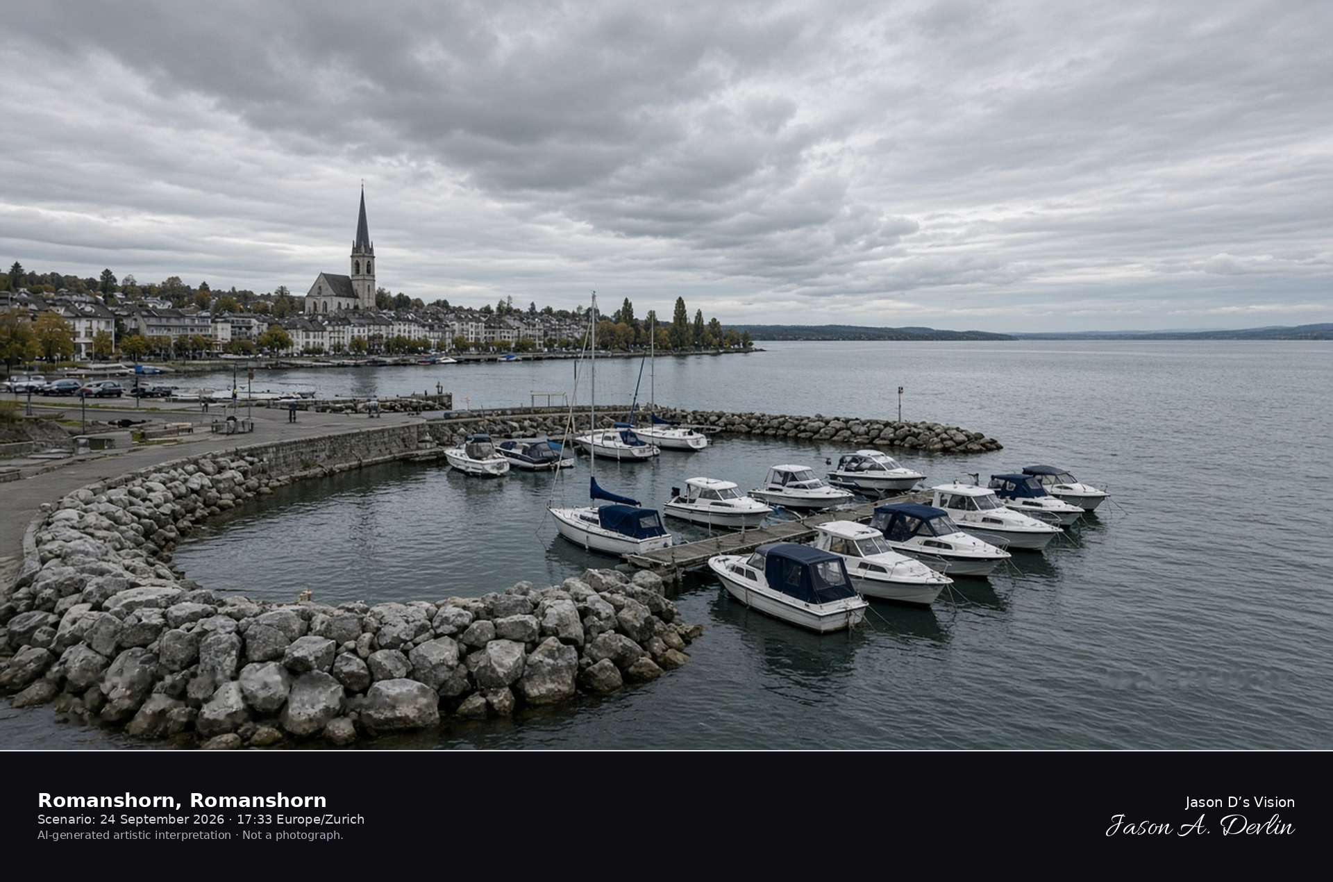
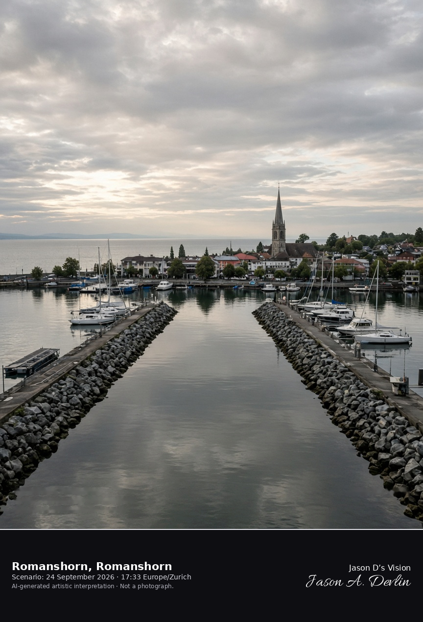
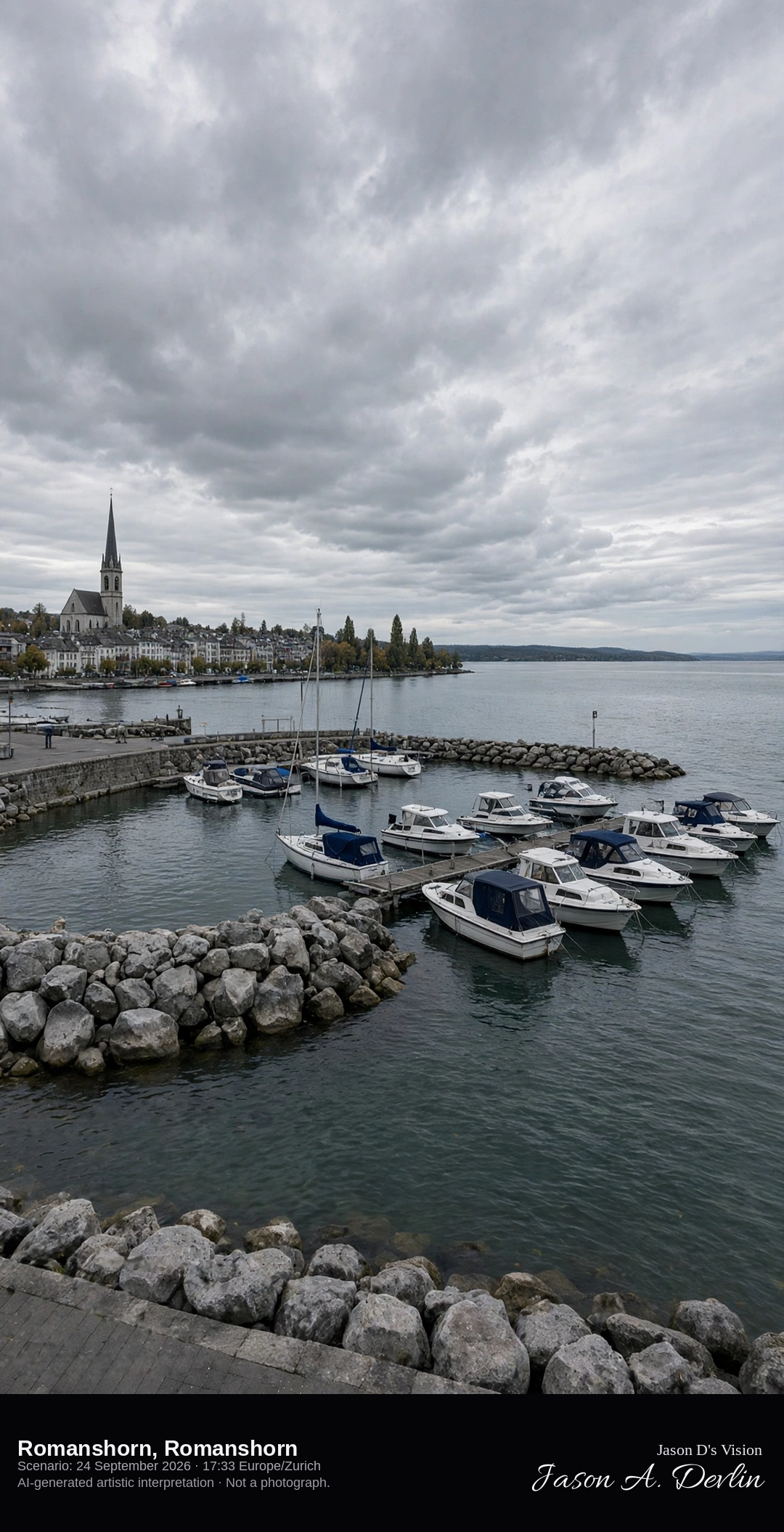
Romanshorn harbor on Lake Constance · AI-generated artistic interpretation
Romanshorn is the harbor town on the Swiss shore of Lake Constance, with stone moles, a basin, and the church spire behind the quay. The far shore is low and hazy. No ferry name is readable. The Open-Meteo model is fully overcast and mild, with no rain.
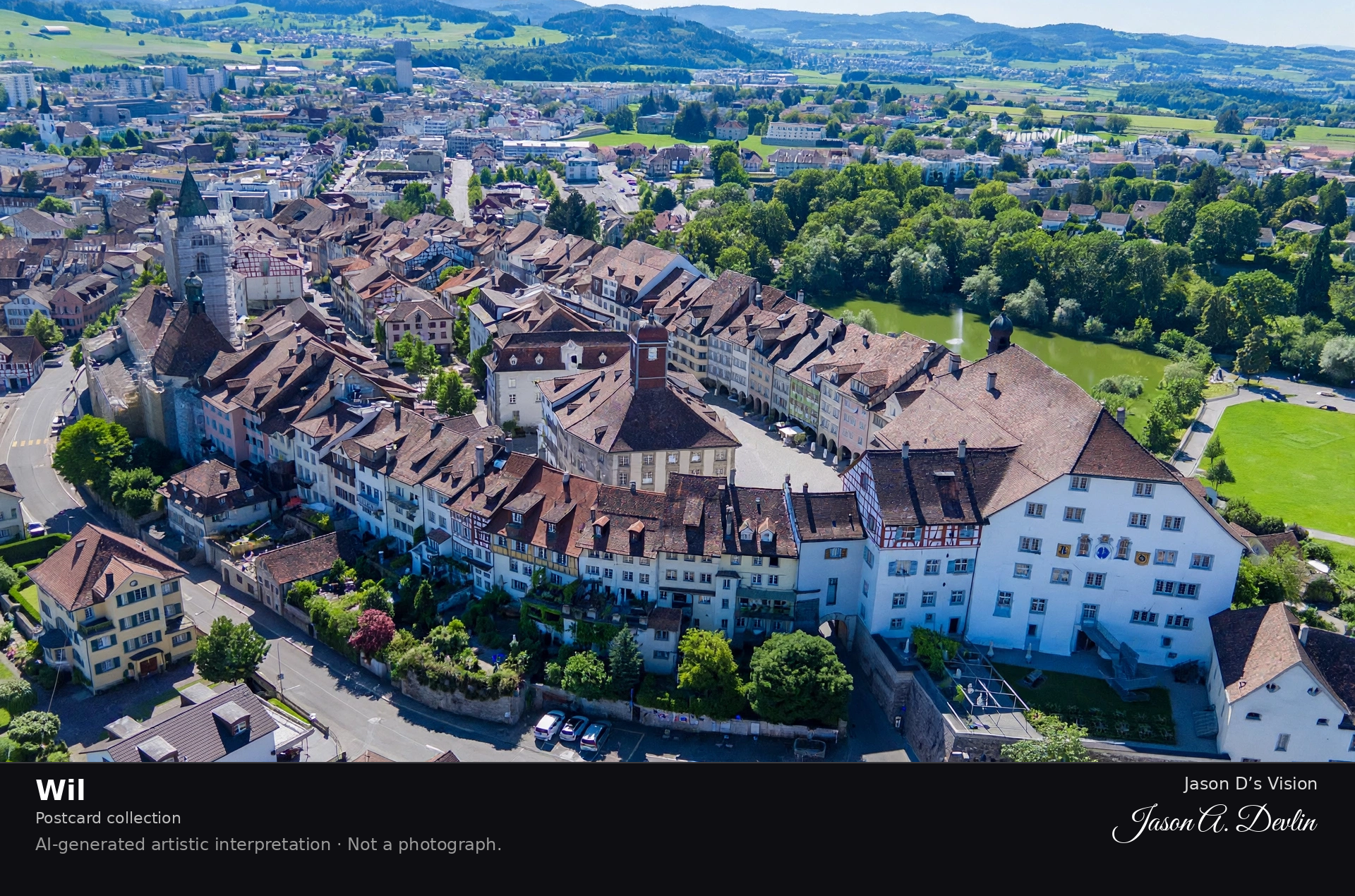
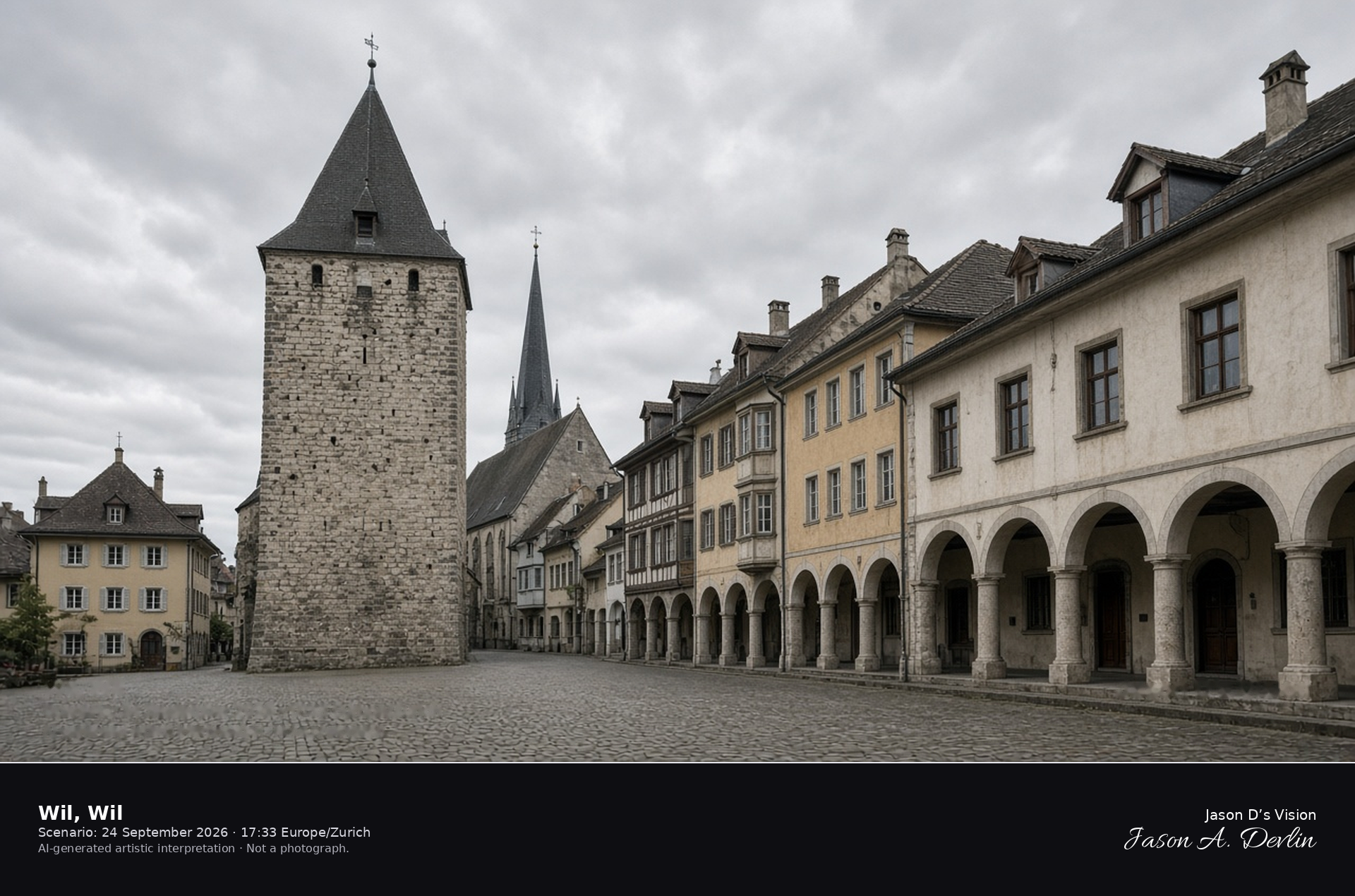
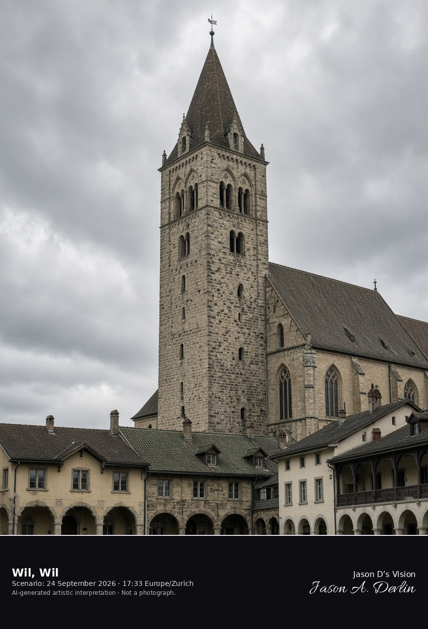
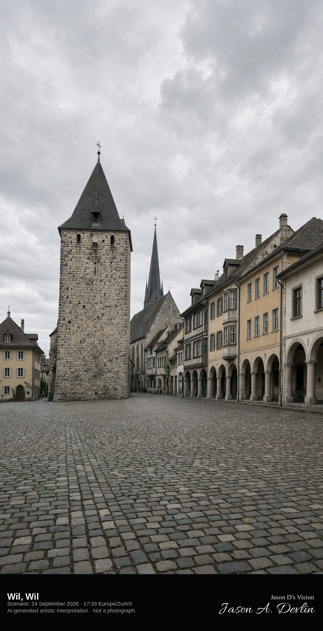
The Hof and Saint Nicholas in Wil · AI-generated artistic interpretation
Wil’s old town is marked by the Hof, where the prince-abbots of St. Gallen kept a residence, and by the church of Saint Nicholas. Arcaded streets and the historic Hof building define the old-town center. This is the town of Wil in St. Gallen, not the abbey district of the city of St. Gallen. The Open-Meteo model is fully overcast and mild, with no rain.
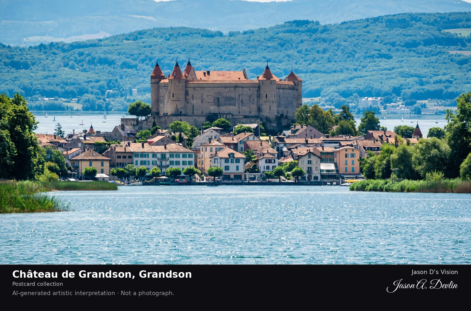
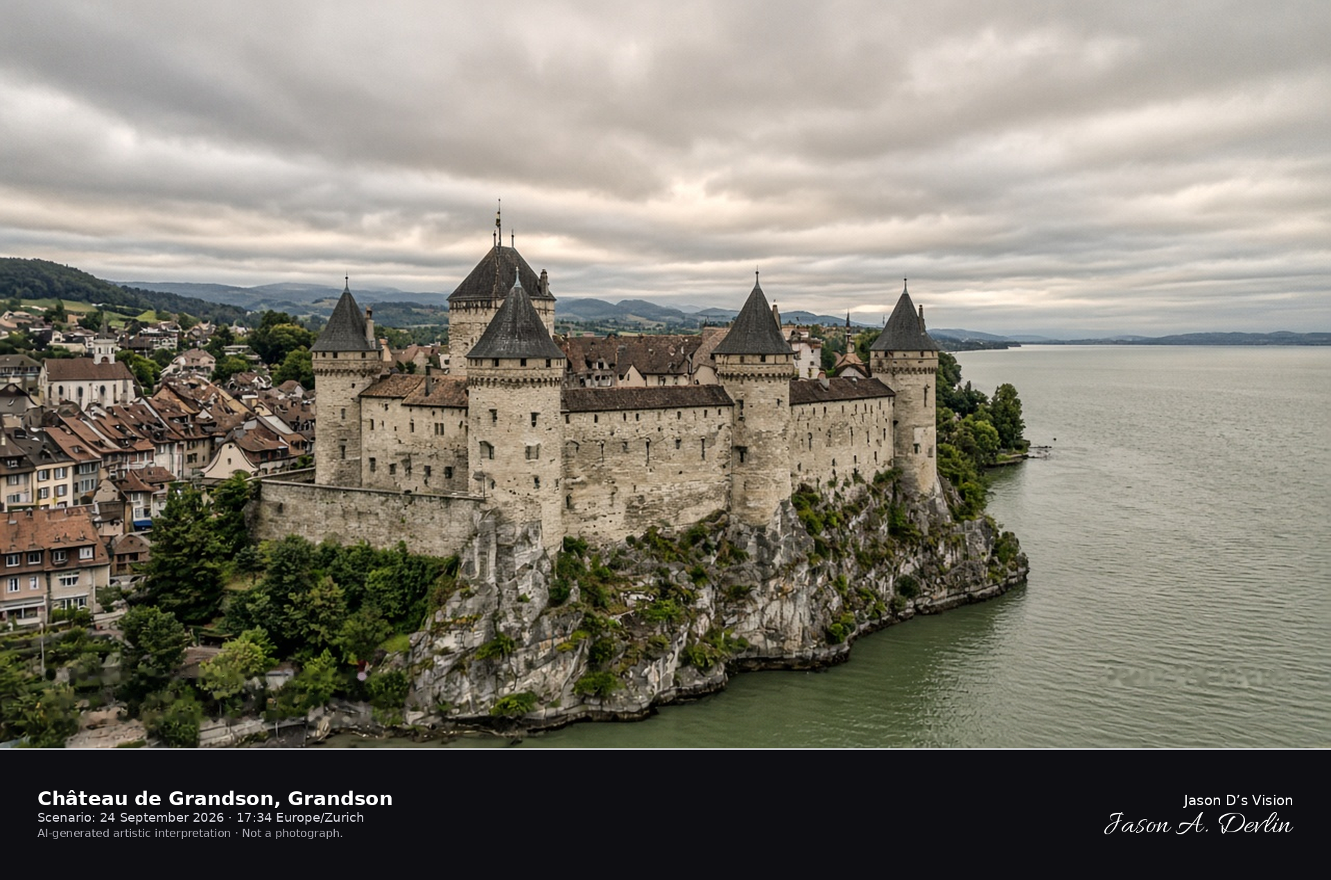
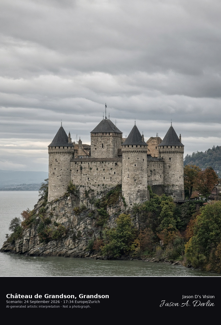
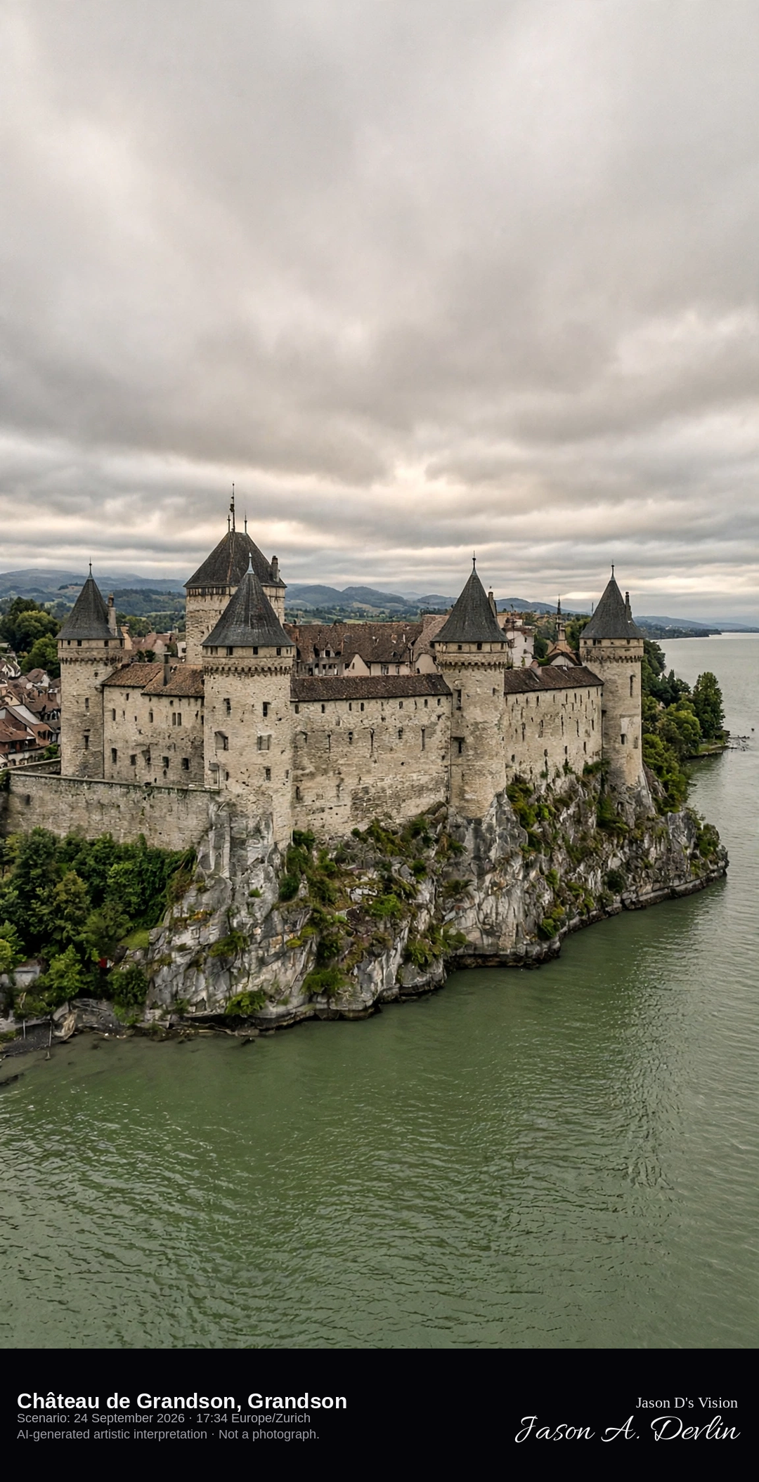
Château de Grandson in the town beside Lake Neuchâtel · AI-generated artistic interpretation
Château de Grandson stands in the town on the south shore of Lake Neuchâtel, a near-square fortress with four great round corner towers and high curtain walls. The small town sits beside the walls, and the lake lies just beyond the town. The Open-Meteo model is nearly fully overcast and warm, with almost no wind and no rain.
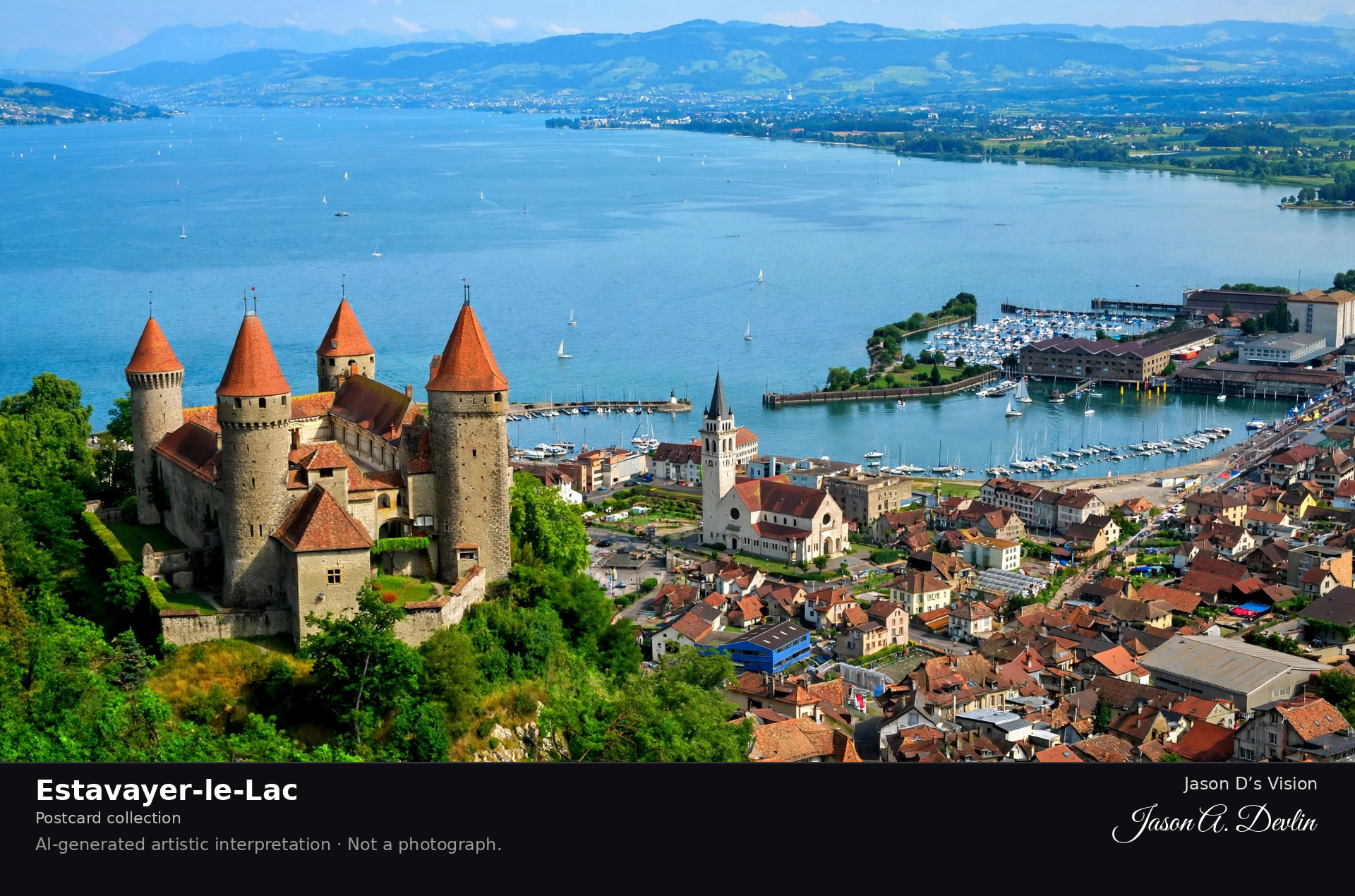
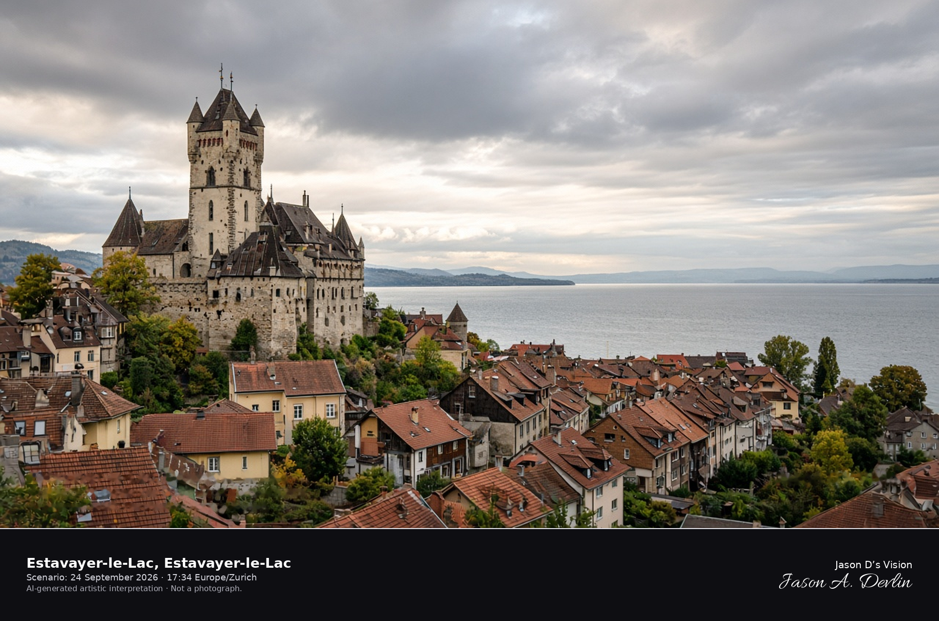
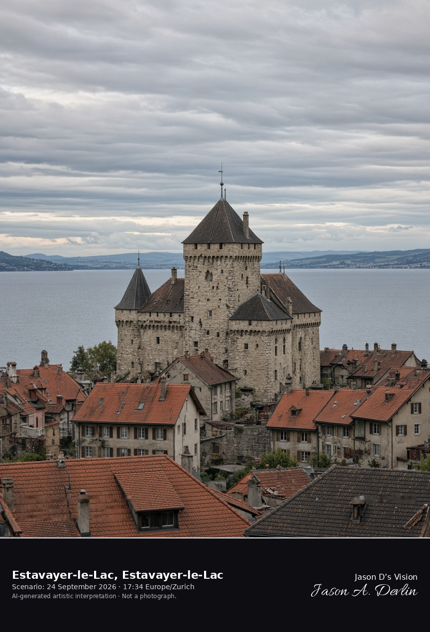
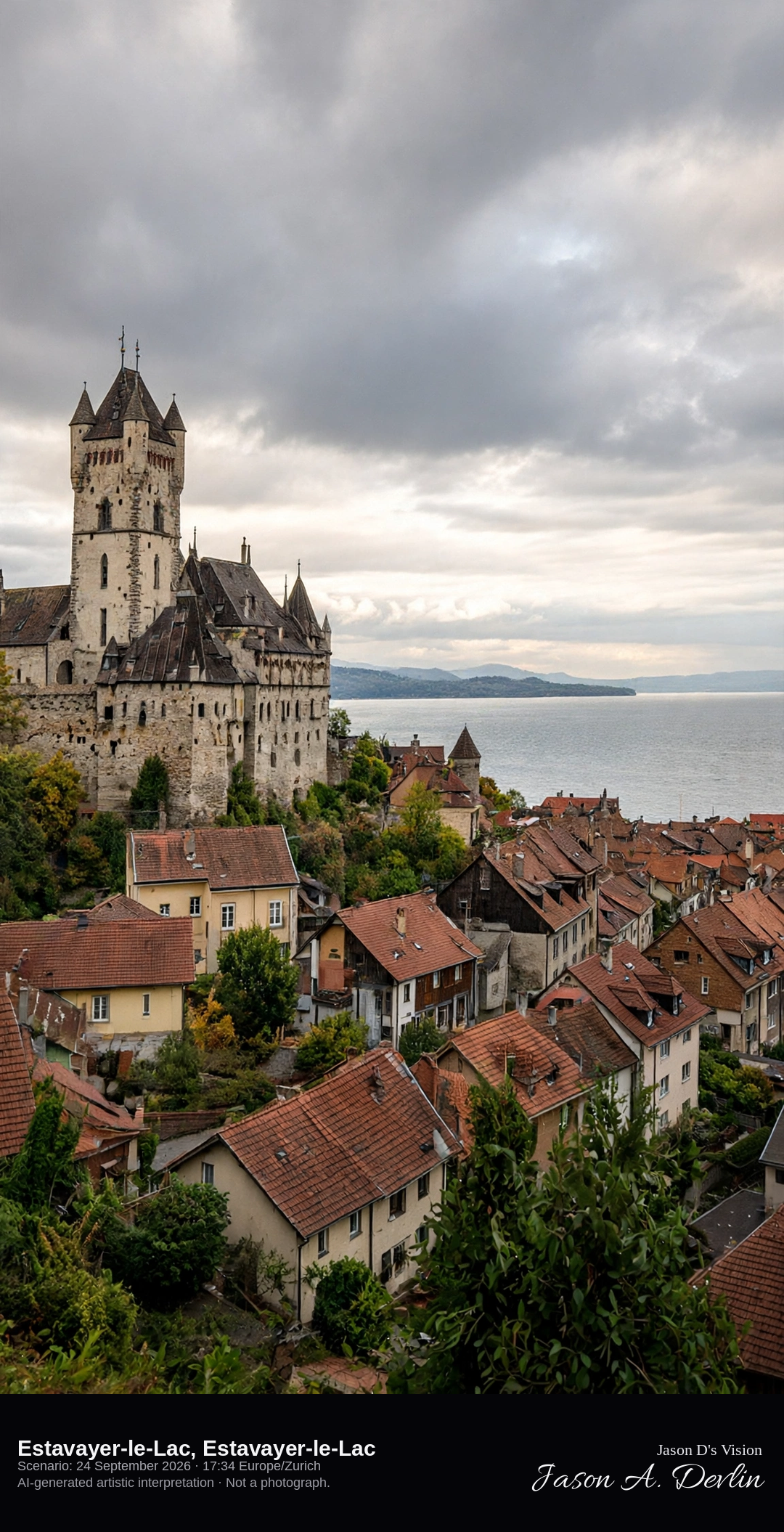
Chenaux Castle above Estavayer-le-Lac and Lake Neuchâtel · AI-generated artistic interpretation
Estavayer-le-Lac sits on the south shore of Lake Neuchâtel in the canton of Fribourg, with Chenaux Castle on the height above the old-town roofs. The lake opens beyond the tiles. Since 2017 the political municipality has been Estavayer; this frame is the historical town. The Open-Meteo model is fully overcast and warm, with no rain.
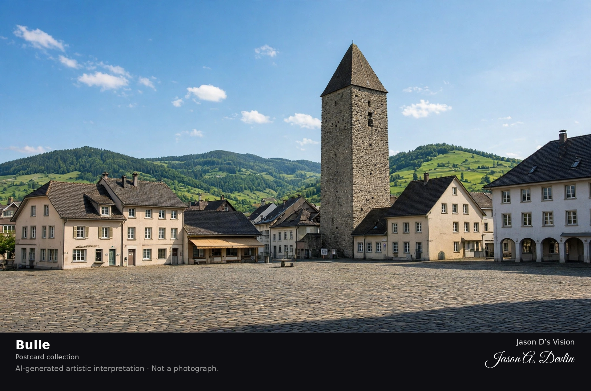
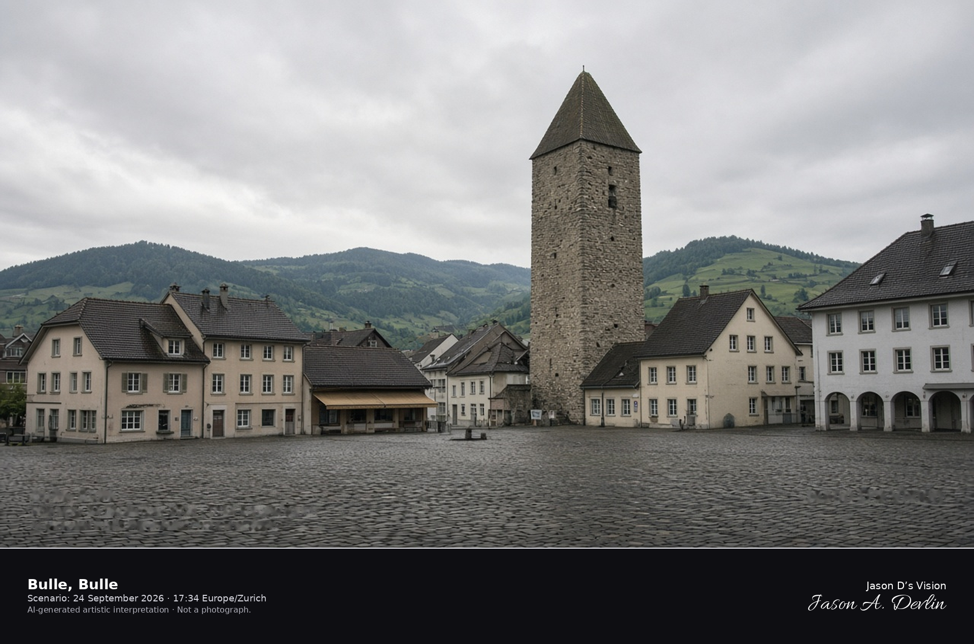
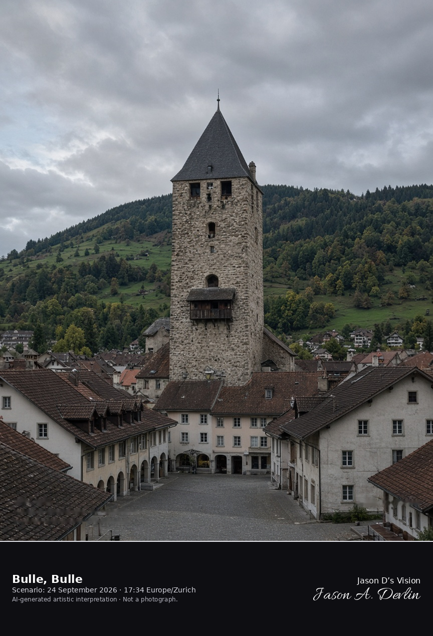
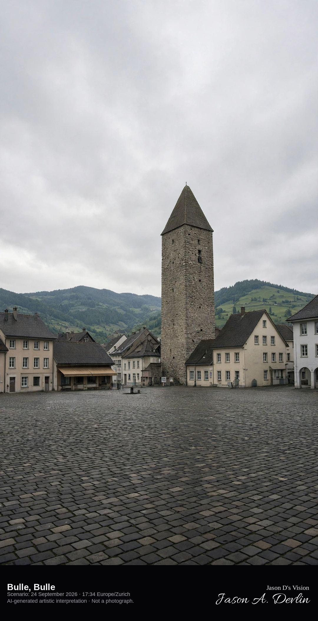
The square keep of Bulle Castle on Place du Marché · AI-generated artistic interpretation
Bulle’s market square is closed on the south by the castle, whose square stone keep rises about 33 metres above the town roofs. The town is the market center of the Gruyère district, and this is not the hilltop castle of Gruyères already catalogued. The Open-Meteo model is heavily clouded and warm, with no rain.
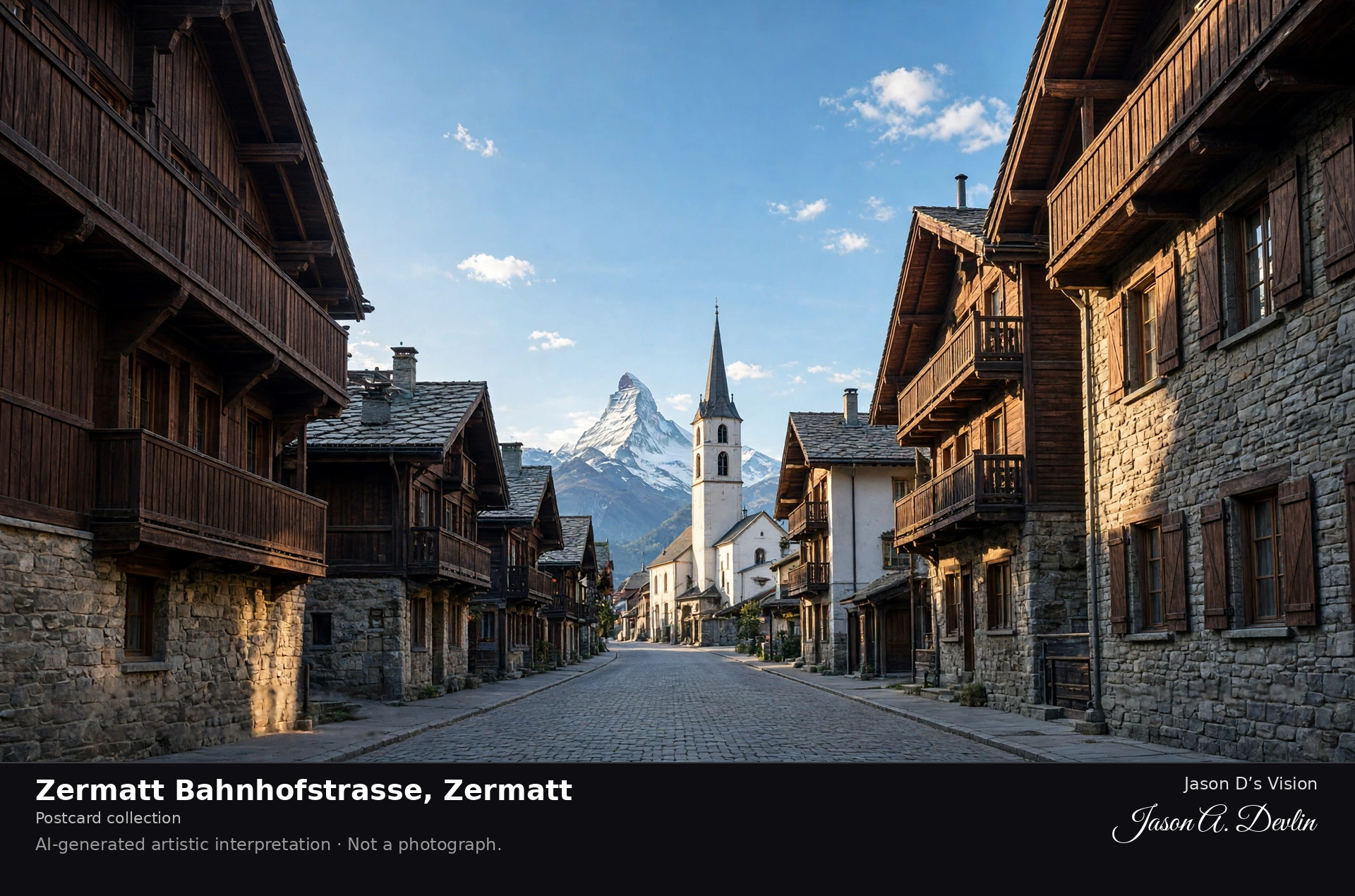
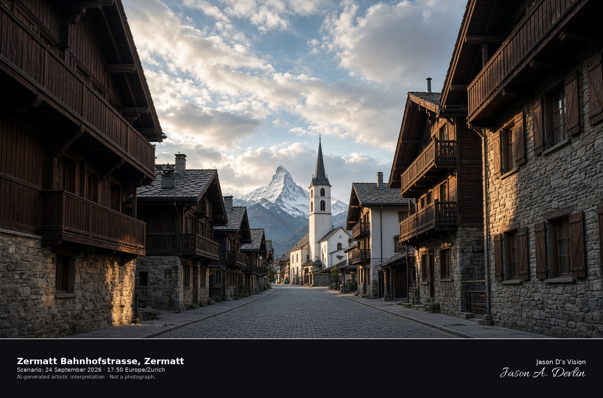
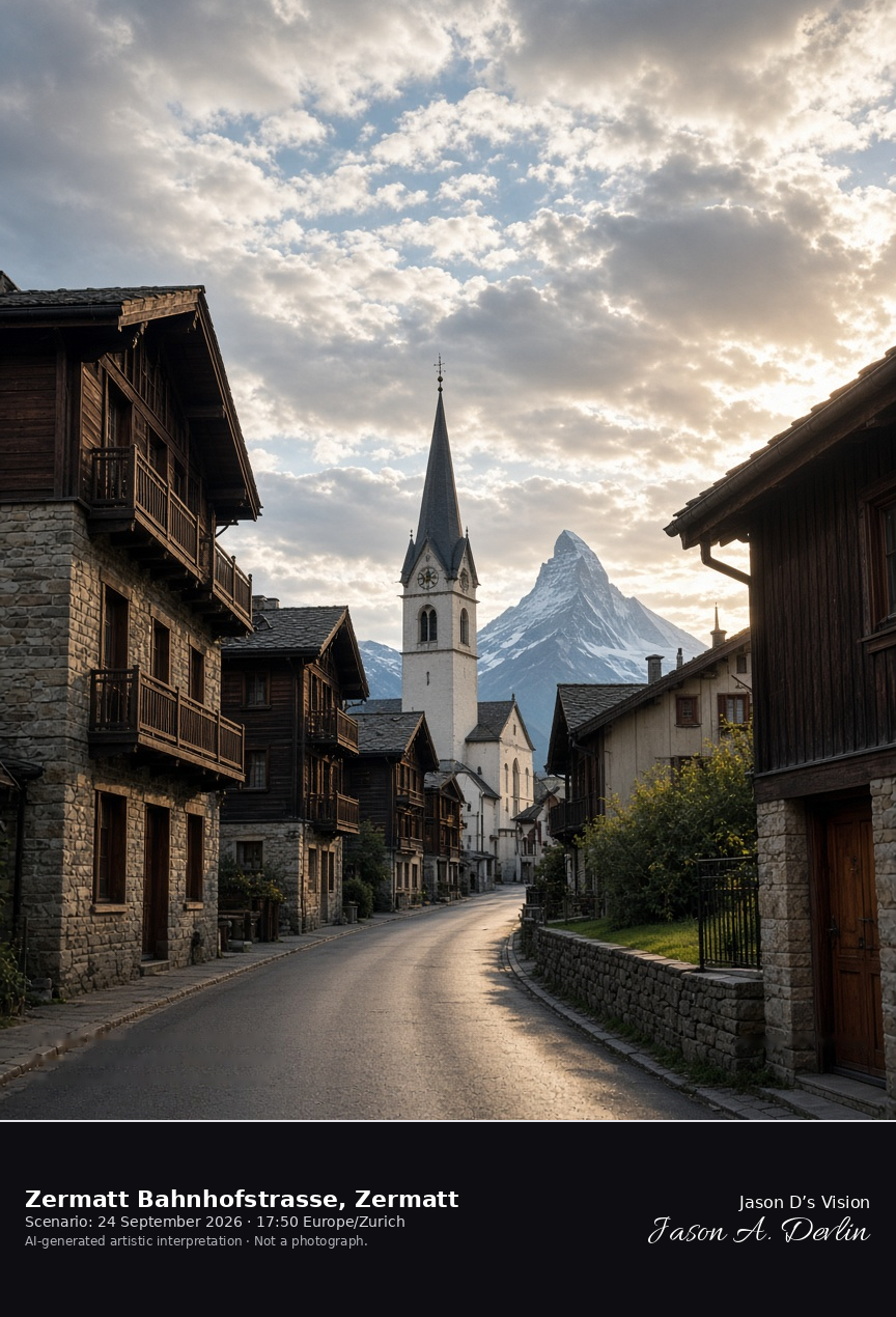
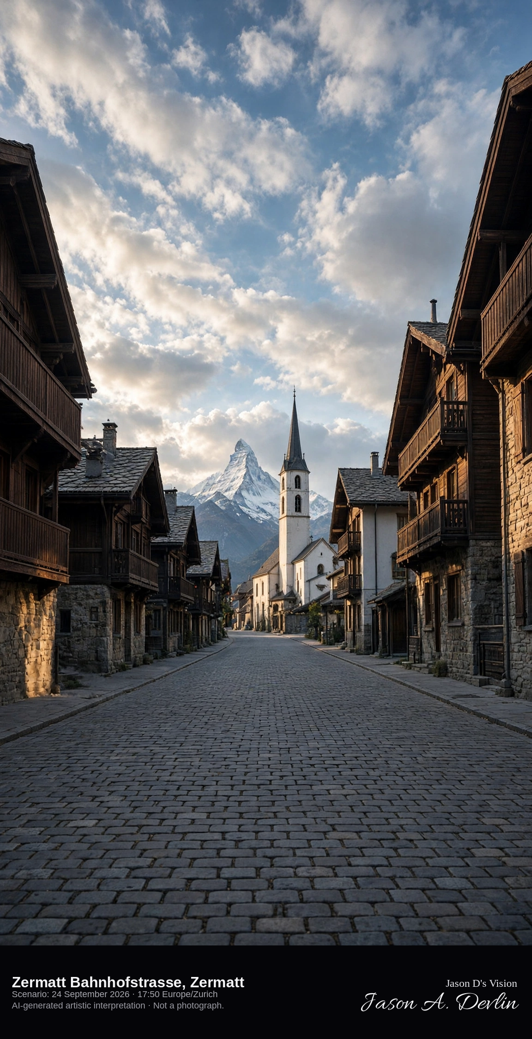
Car-free Bahnhofstrasse looking south toward St Mauritius in Zermatt · AI-generated artistic interpretation
Zermatt’s Bahnhofstrasse is the car-free promenade between the station and the parish church of St Mauritius, lined with hotels and shopfronts and closed to private cars since 1961. The white church tower closes the south end of the street, and the Matterhorn is only a distant peak above the roofs, not the Gornergrat portrait already catalogued. No shop name is readable, and the September street has no summer goat herd. The Open-Meteo model is mainly clear with broken cloud, mild and dry, and the late sun comes from the west.
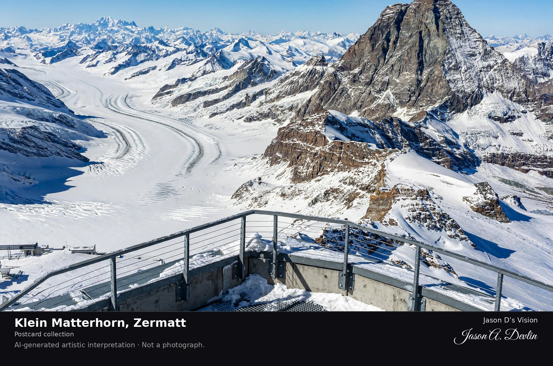
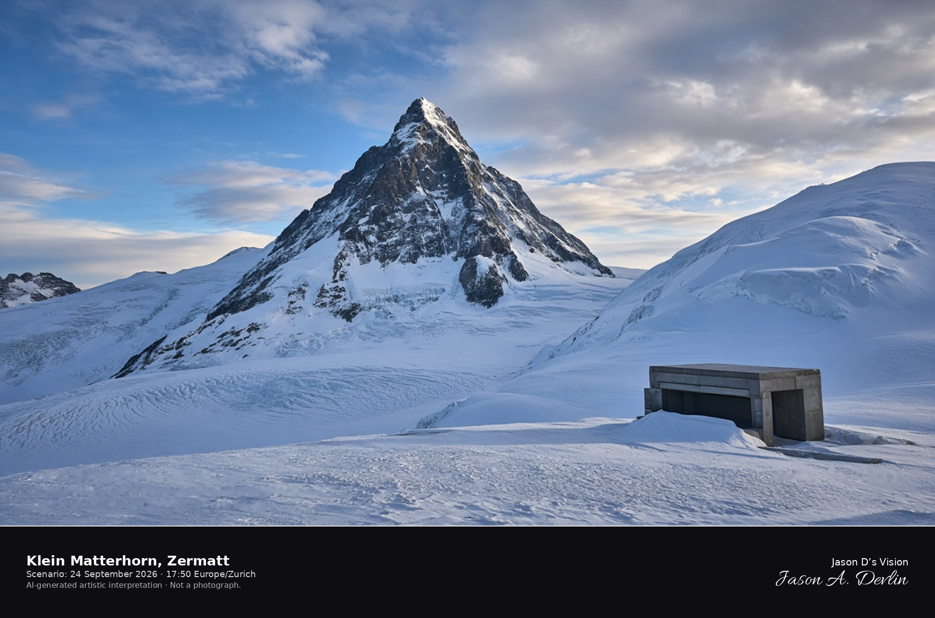
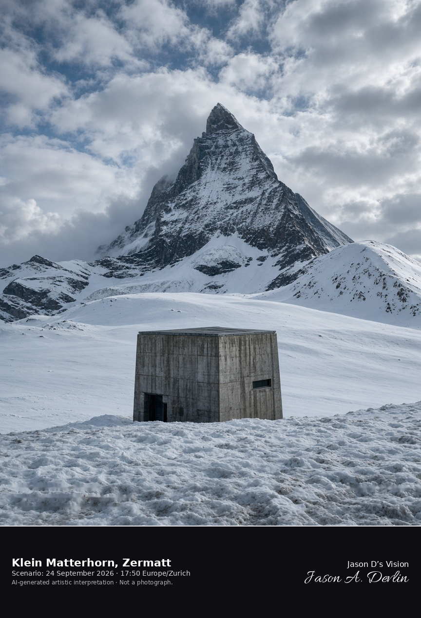
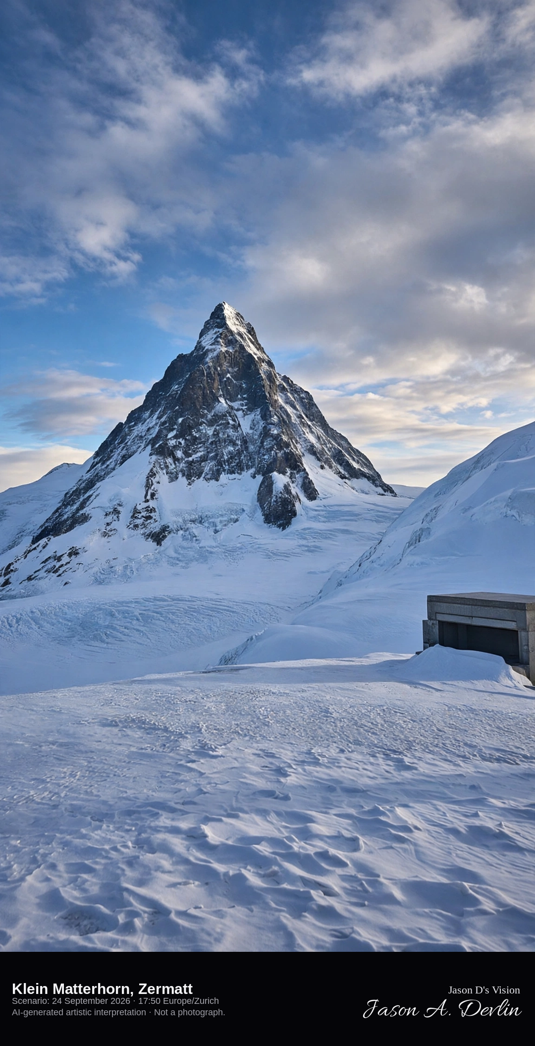
Klein Matterhorn ice terrace looking north to the Matterhorn’s south face · AI-generated artistic interpretation
The Klein Matterhorn is the 3883-metre summit south of Zermatt, with an ice terrace looking north across the Theodul glacier to the south face of the Matterhorn about seven kilometres away. This is not the Gornergrat railway terrace of the Matterhorn scene, and the Hörnli ridge is not the skyline. Late September at this height is ice and old snow, and no cable-car name is readable. The Open-Meteo model is mainly clear with broken cloud, near freezing, and a strong north wind, with no precipitation.
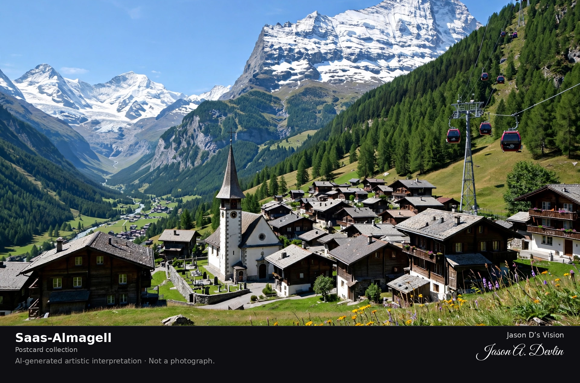
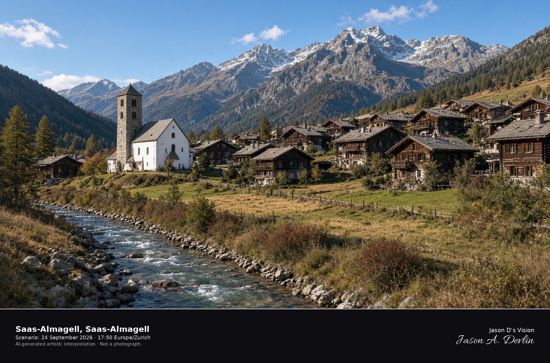
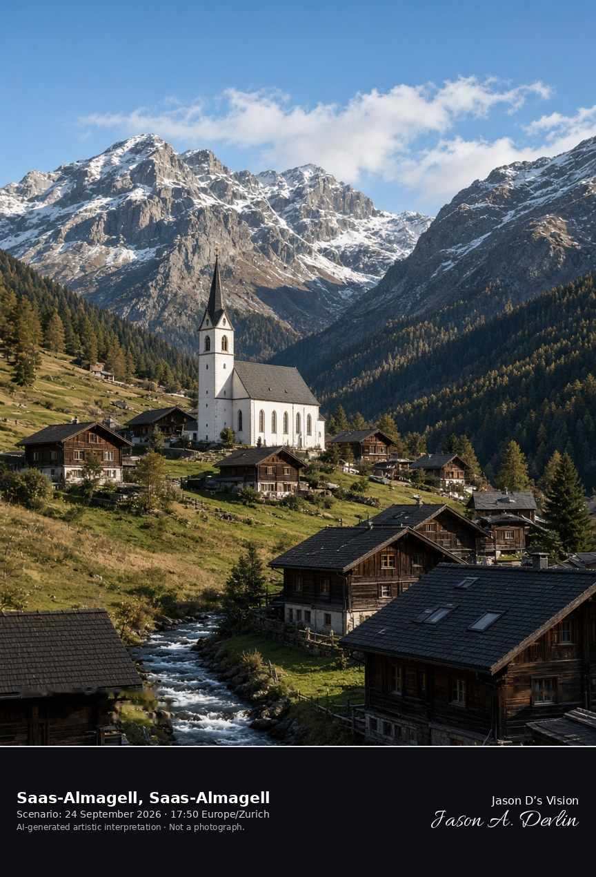
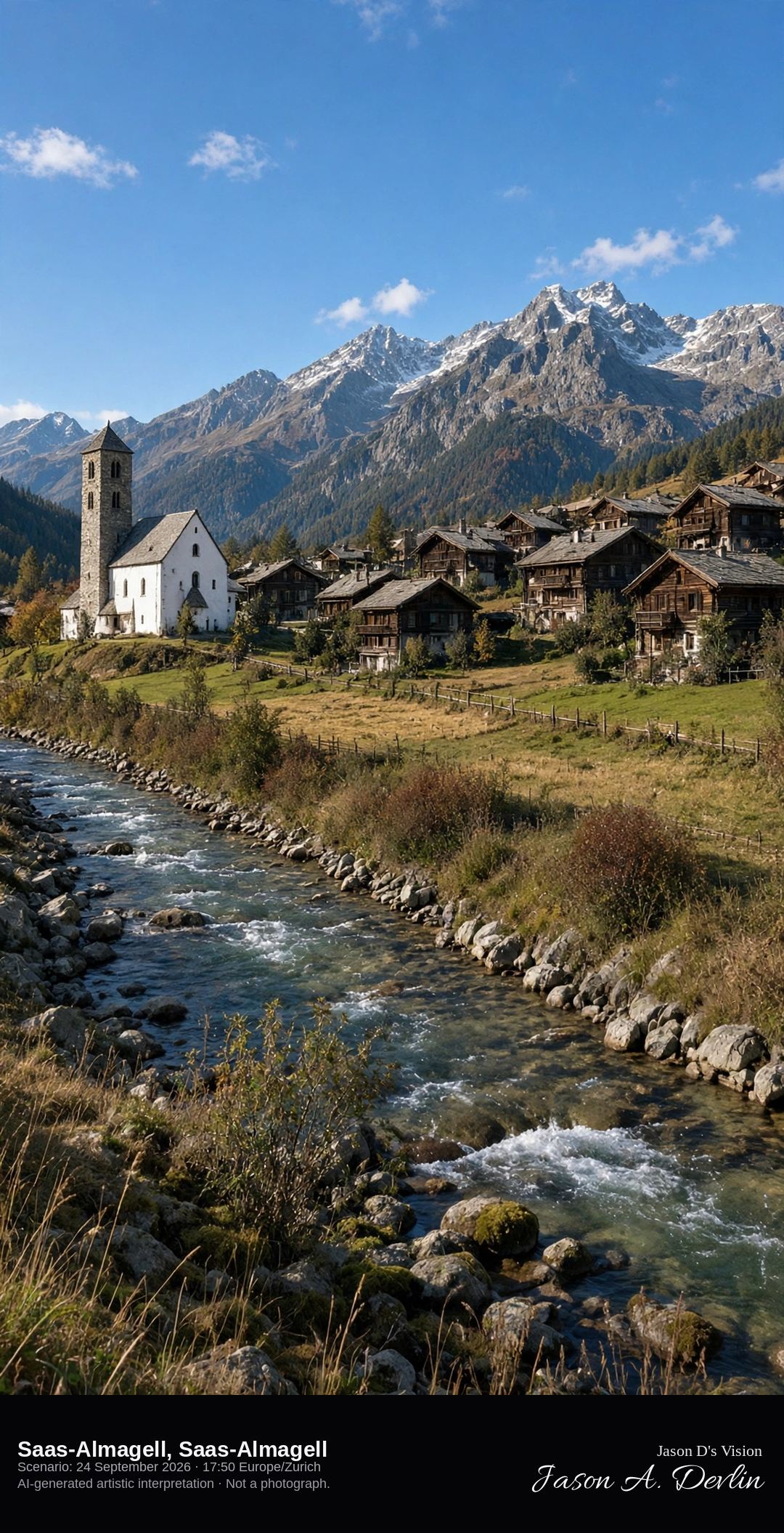
St Barbara and the Saaser Vispa in Saas-Almagell · AI-generated artistic interpretation
Saas-Almagell is the highest village of the Saas valley, gathered around the white parish church of St Barbara beside the Saaser Vispa. The church on this site was built from 1938, and the high peaks rise beyond the roofs. This is not the Allalinhorn glacier above Saas-Fee, and the valley floor is free of snow at the end of September. The Open-Meteo model is mainly clear, with only a little cloud, a cool north wind, and no rain.
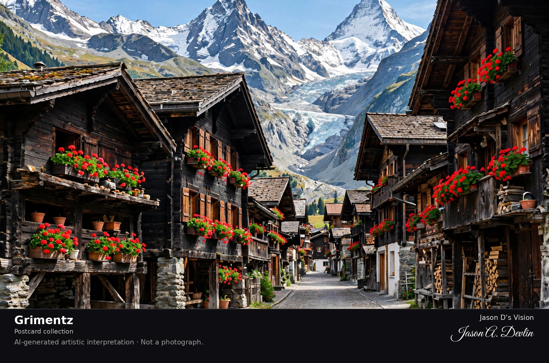
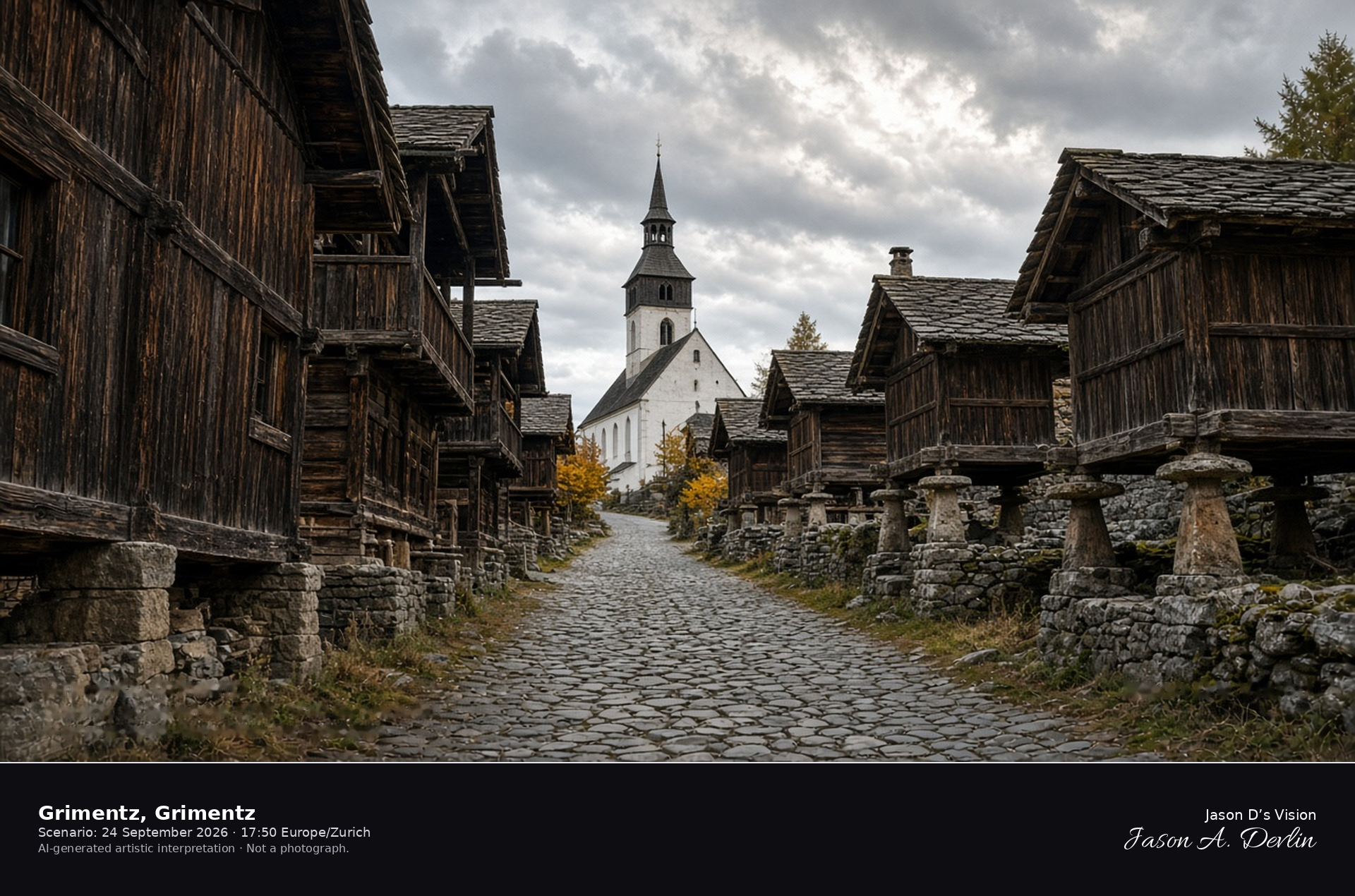
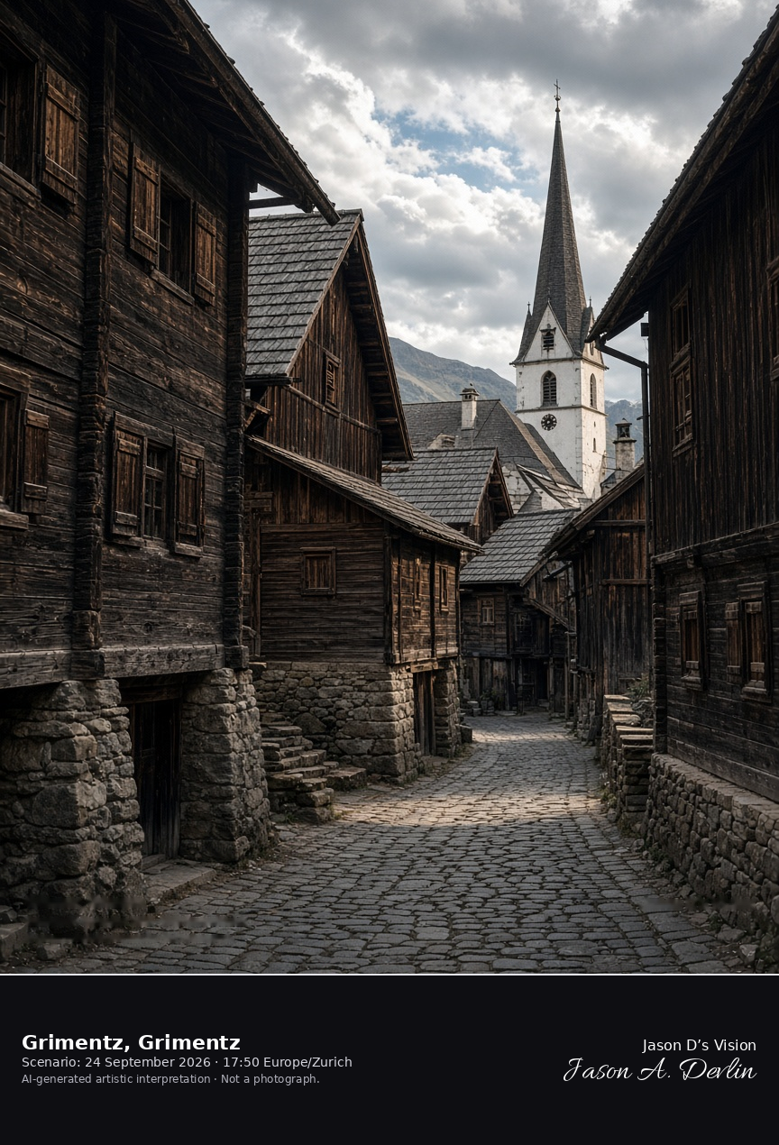
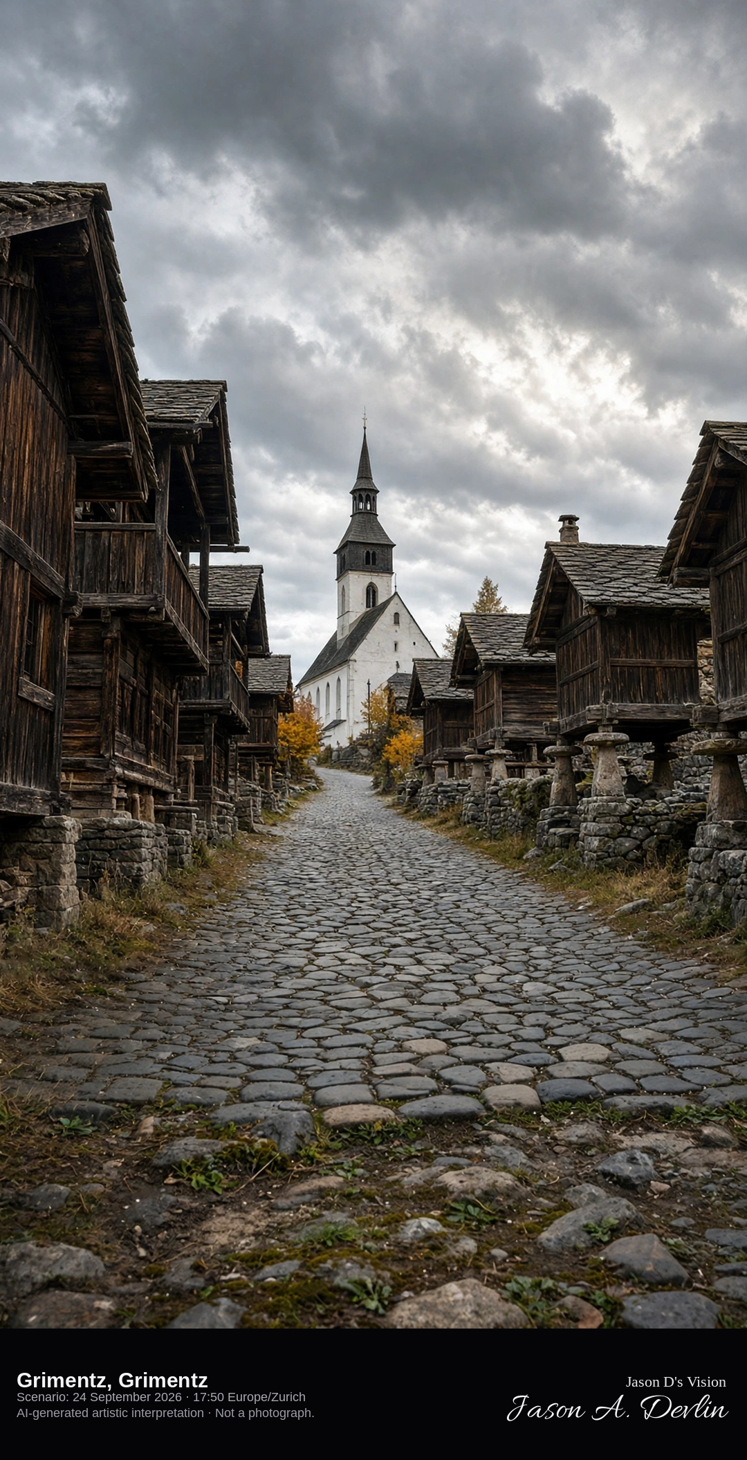
Rue du Village and Saint-Théodule in Grimentz · AI-generated artistic interpretation
Grimentz is the wooden village of the Val d’Anniviers, with sun-darkened larch houses and granaries along Rue du Village and the white church of Saint-Théodule. The wooden spire dates from 1831, and the church body was rebuilt in 1950–51 after the 1946 earthquake. It is not the timber village of Evolène in the Val d’Hérens. The Open-Meteo model is partly cloudy and mild, with no rain.
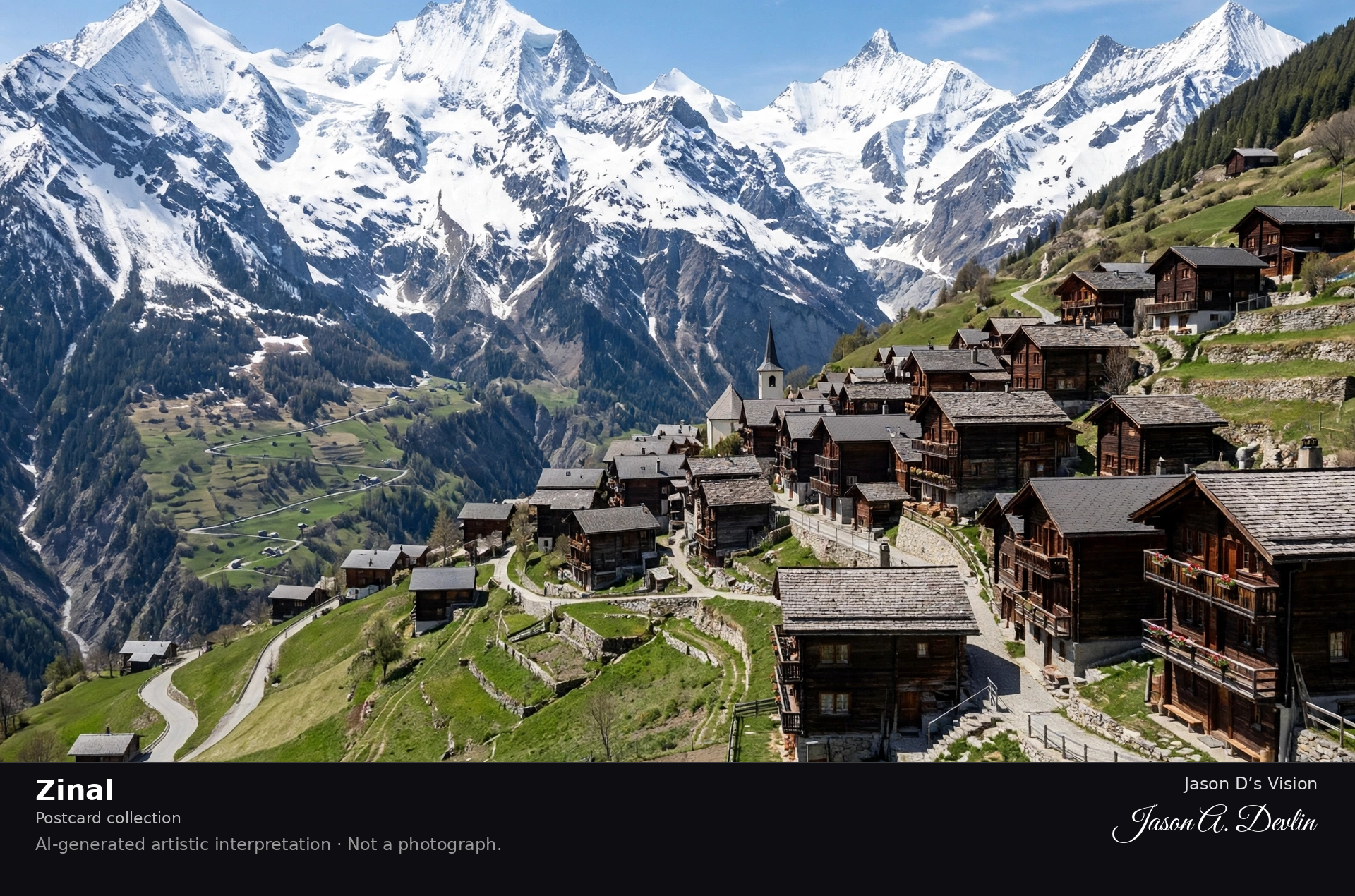
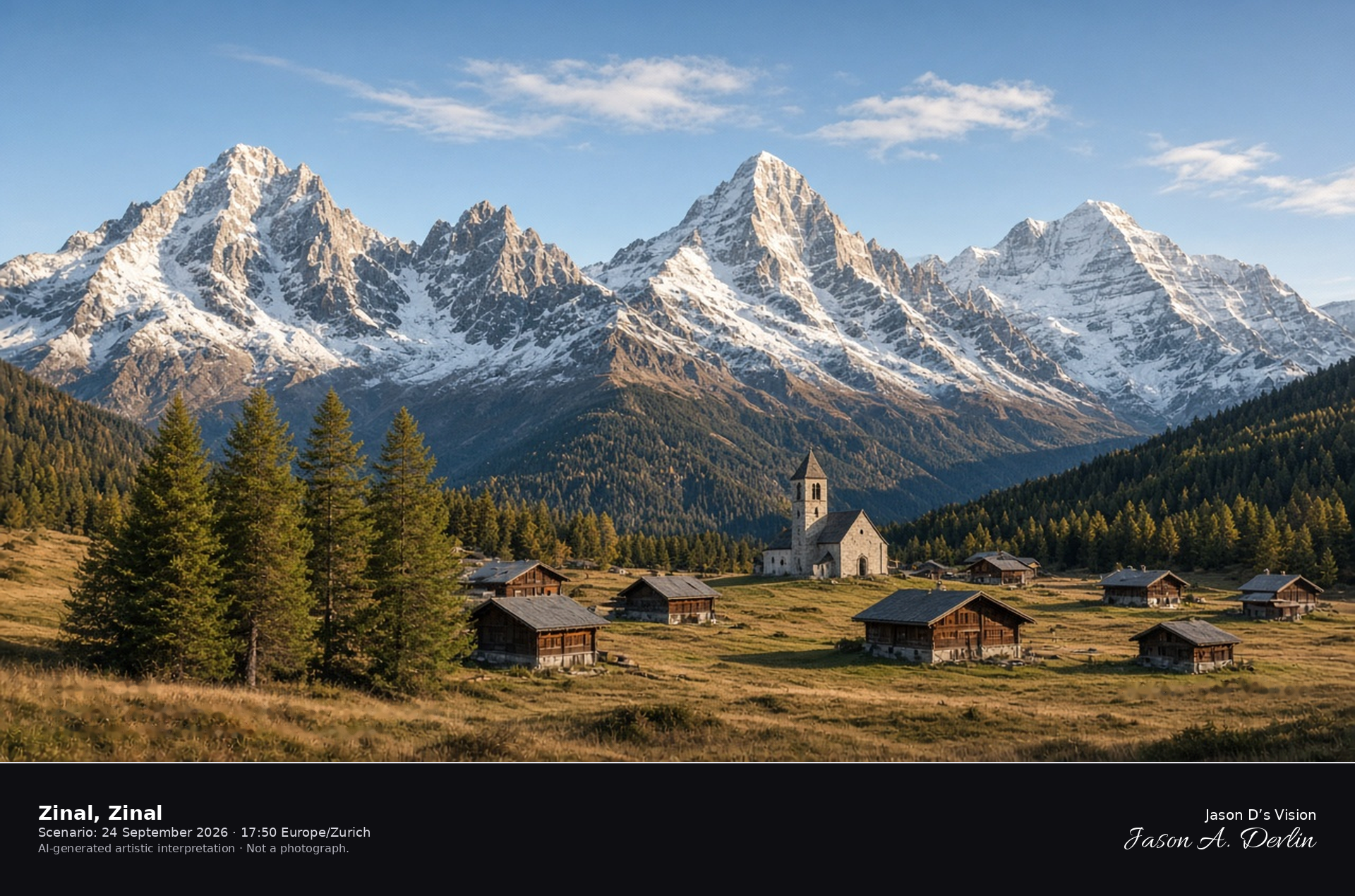
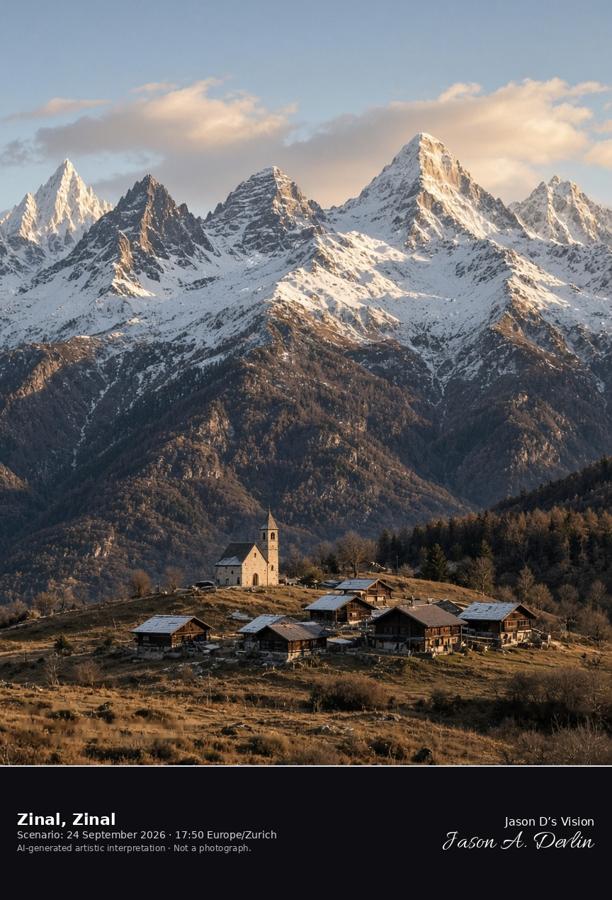
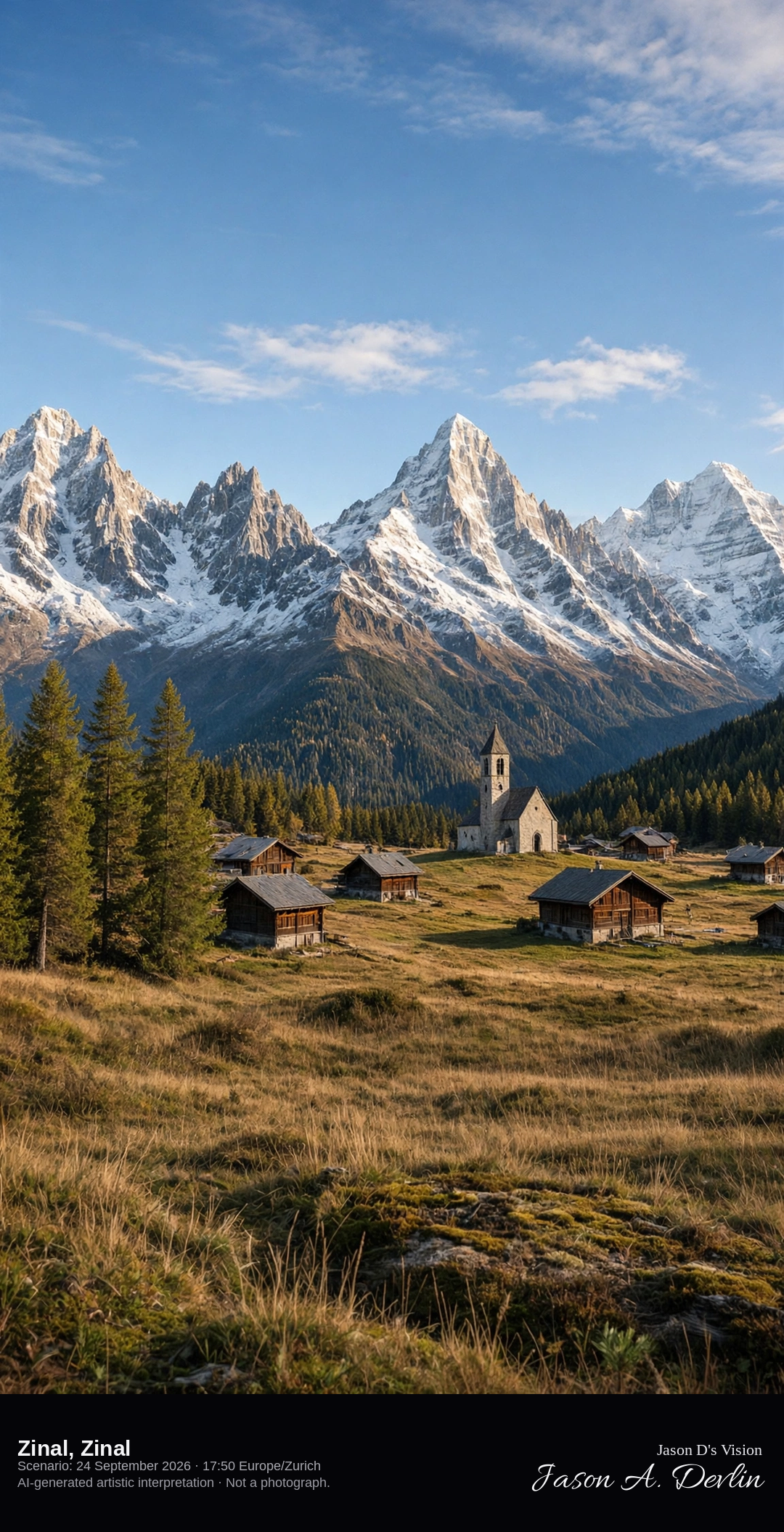
Zinal and the Imperial Crown of five 4000-metre peaks · AI-generated artistic interpretation
Zinal sits at about 1675 metres at the head of the Val de Zinal, with chalets and the chapel of Saint-Barthélemy facing the Imperial Crown. From west to east the five 4000-metre peaks are the Dent Blanche, the Obergabelhorn, the Zinalrothorn, the Weisshorn, and the Bishorn. This is not the wooden street of Grimentz, and the village itself is free of snow. The Open-Meteo model is mainly clear and mild, with sun through light cloud and no rain.
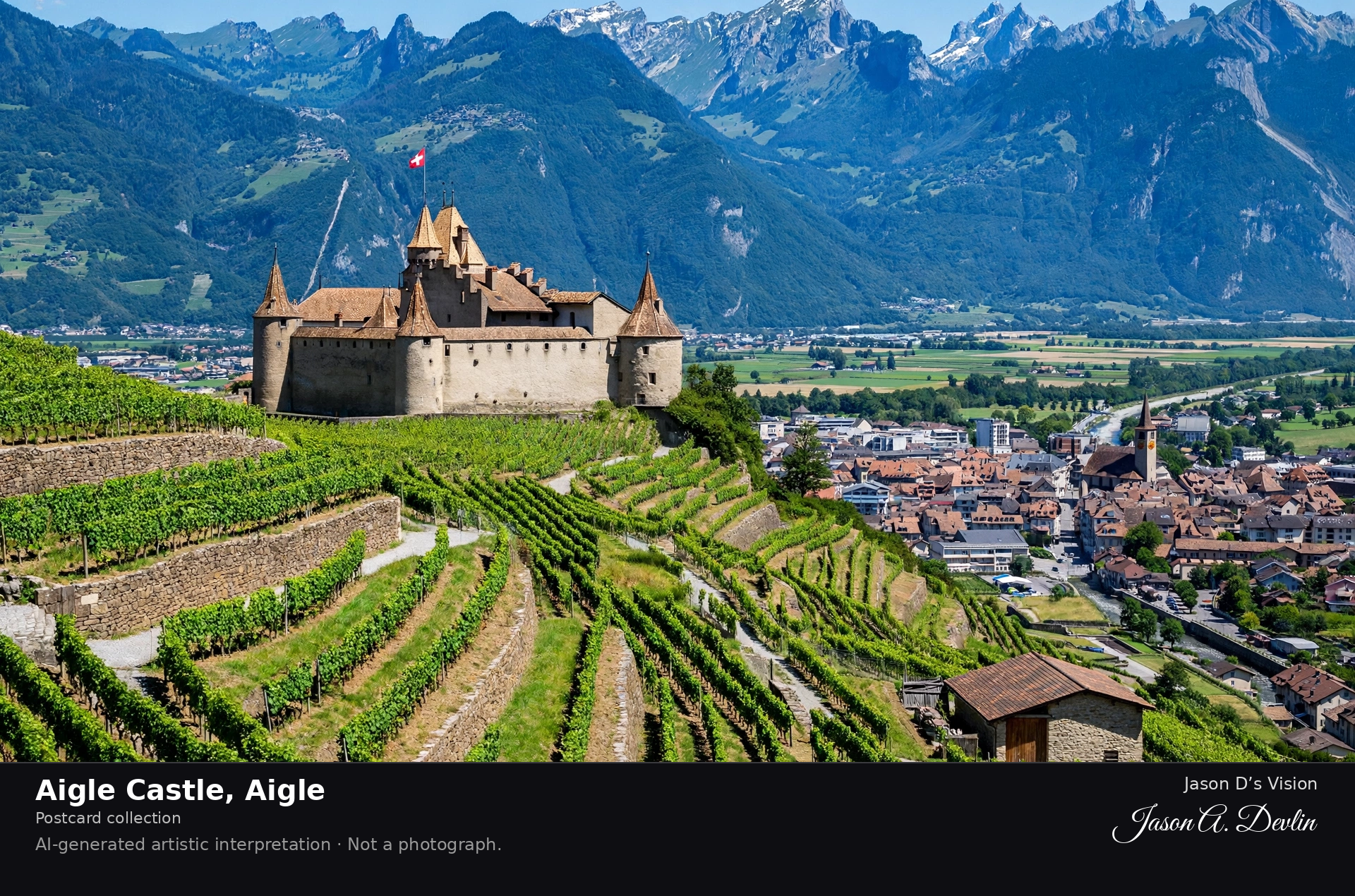
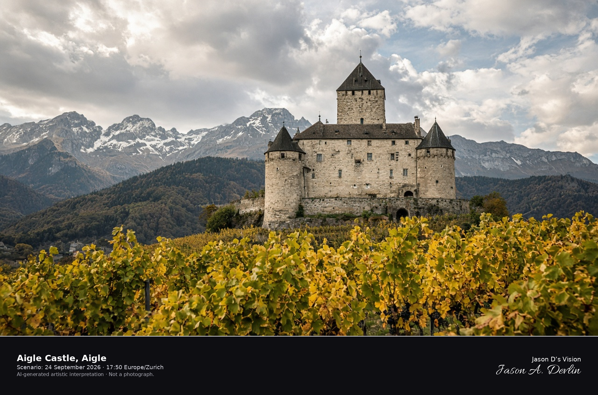
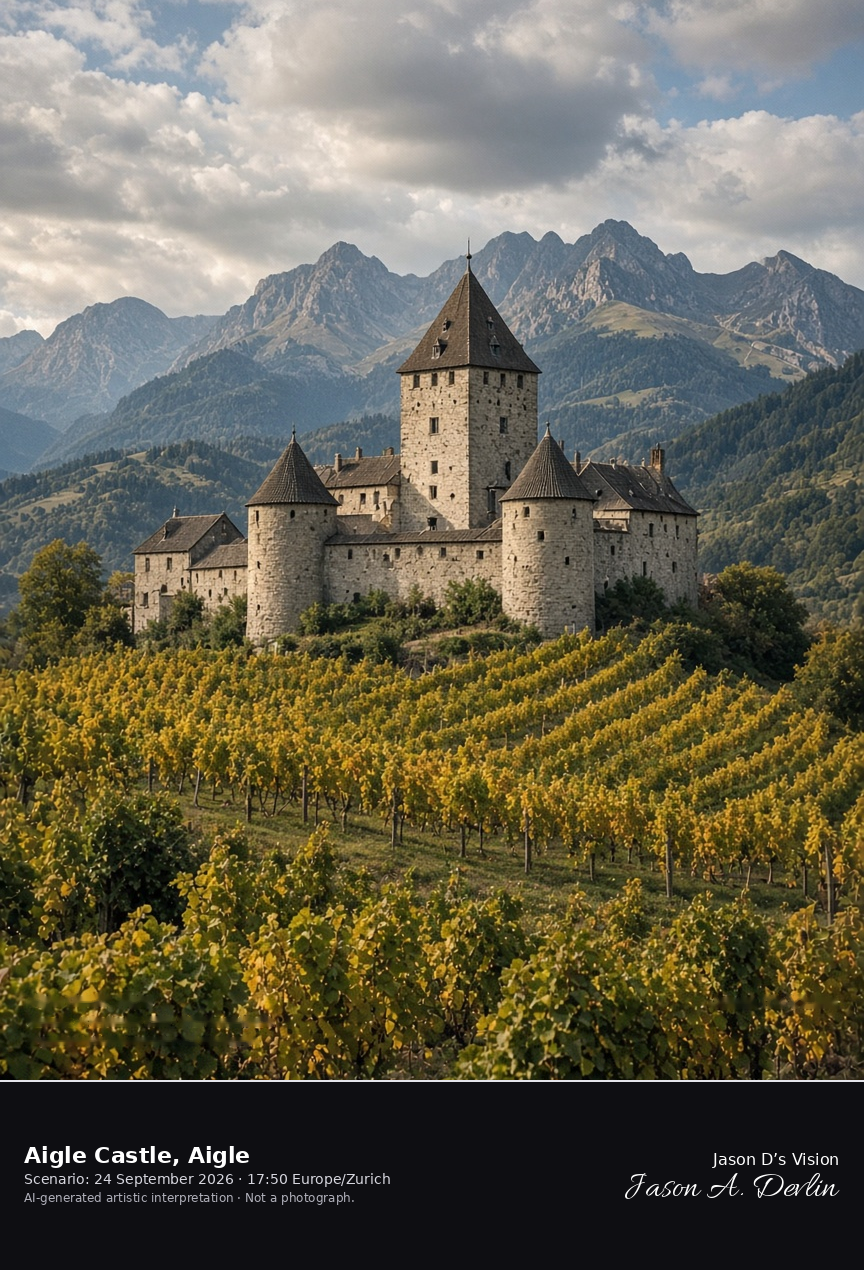
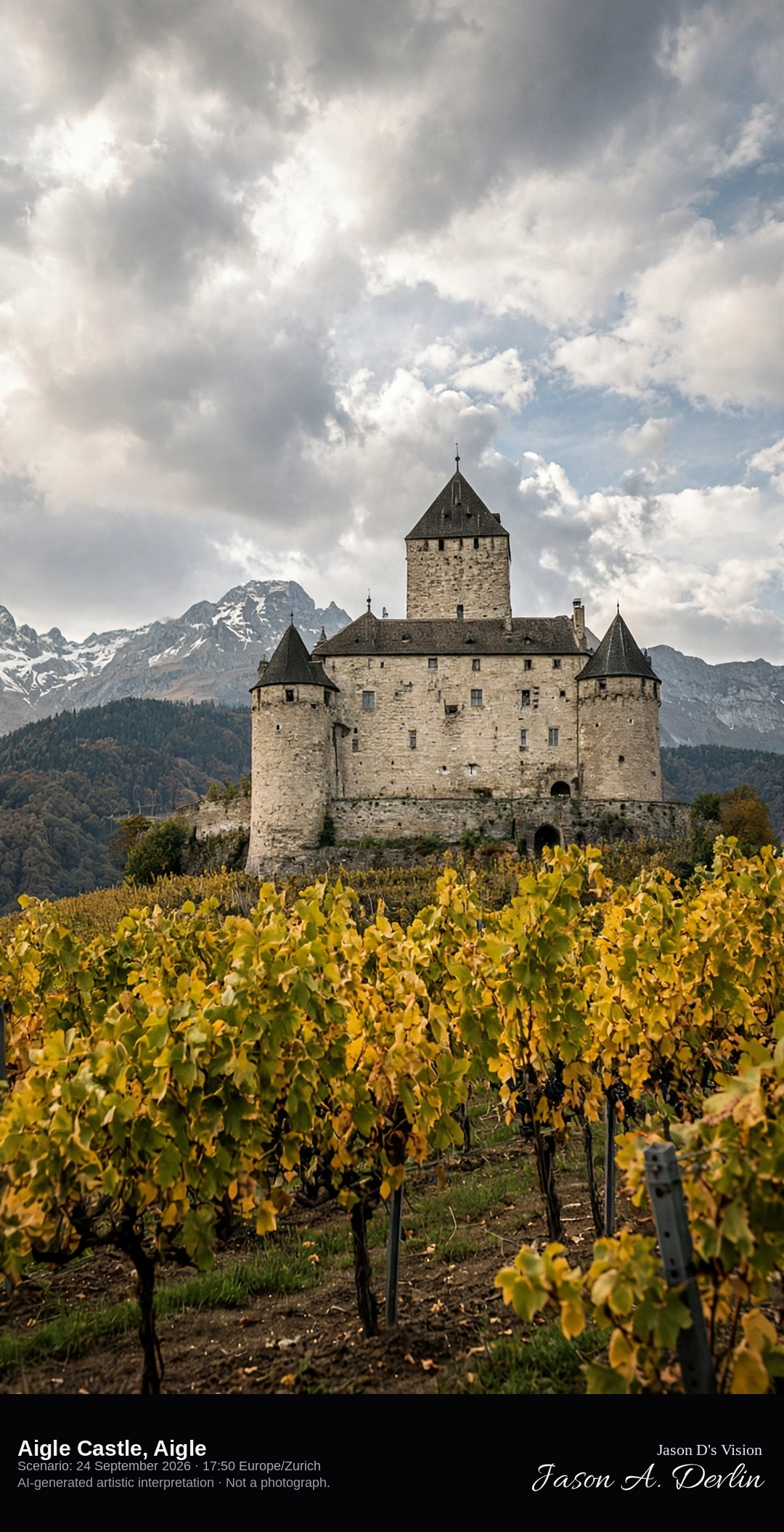
Aigle Castle in the Chablais vineyards · AI-generated artistic interpretation
Aigle Castle stands in the vineyards of the Chablais, a rectangular hill castle with a square donjon and corner towers above the Rhône plain. The vines around the walls are the late-September vineyard, leaves turning, not a winter bare slope and not the terraces of Lavaux. The exterior is shown as it stands, and no wine label is readable. The Open-Meteo model is partly cloudy, warm, and almost calm, with no rain.
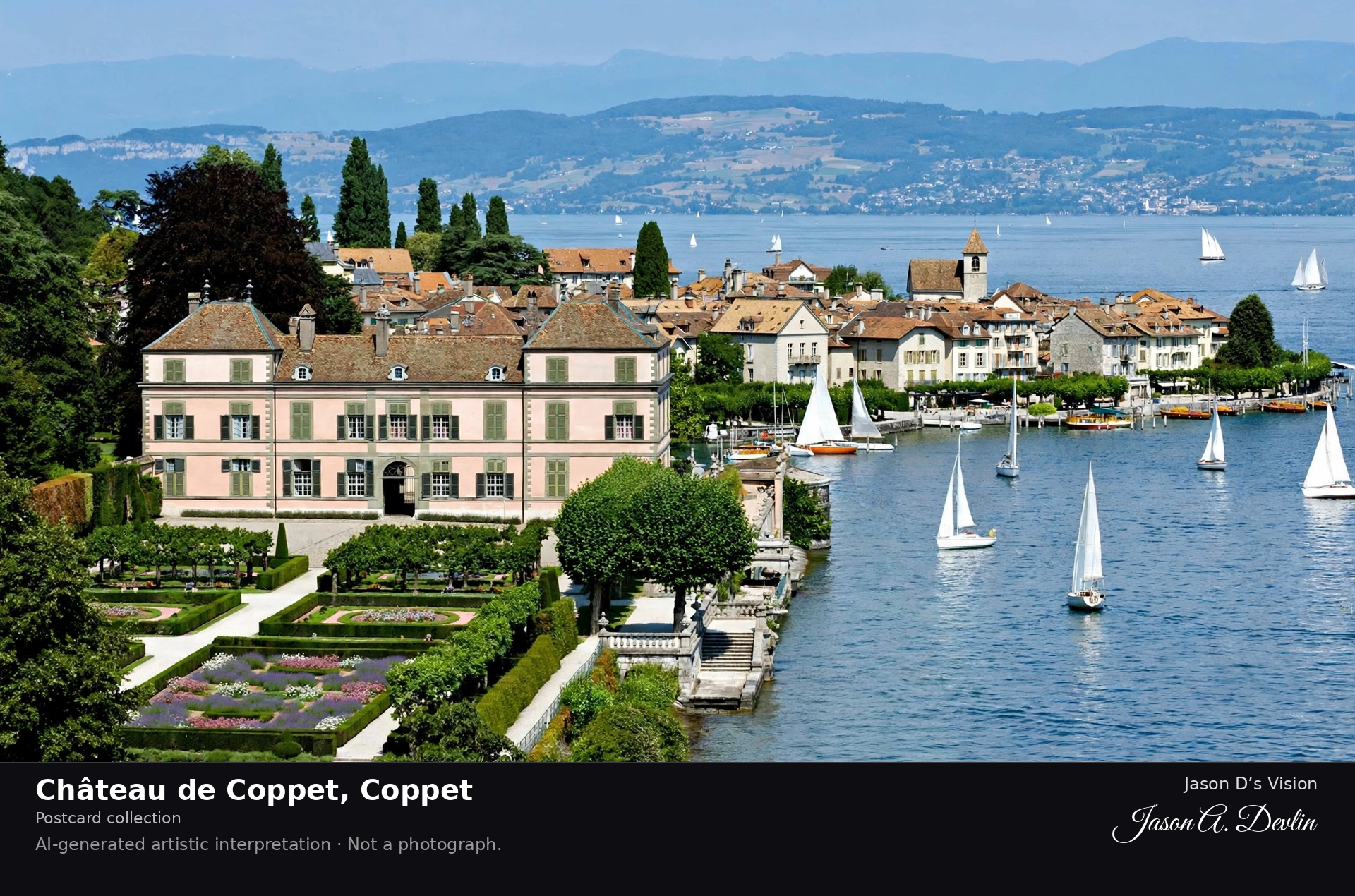
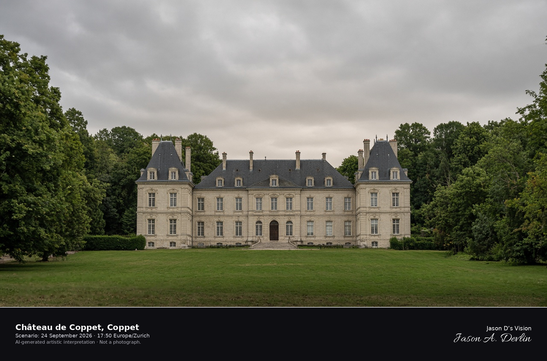
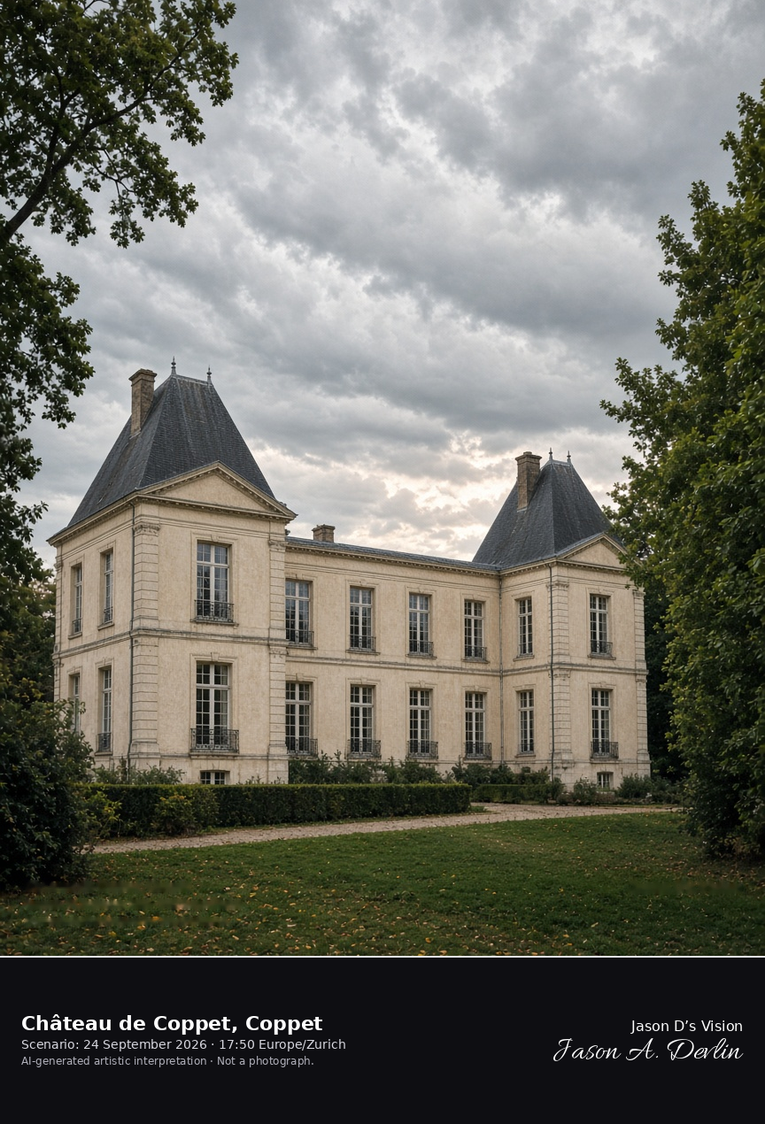
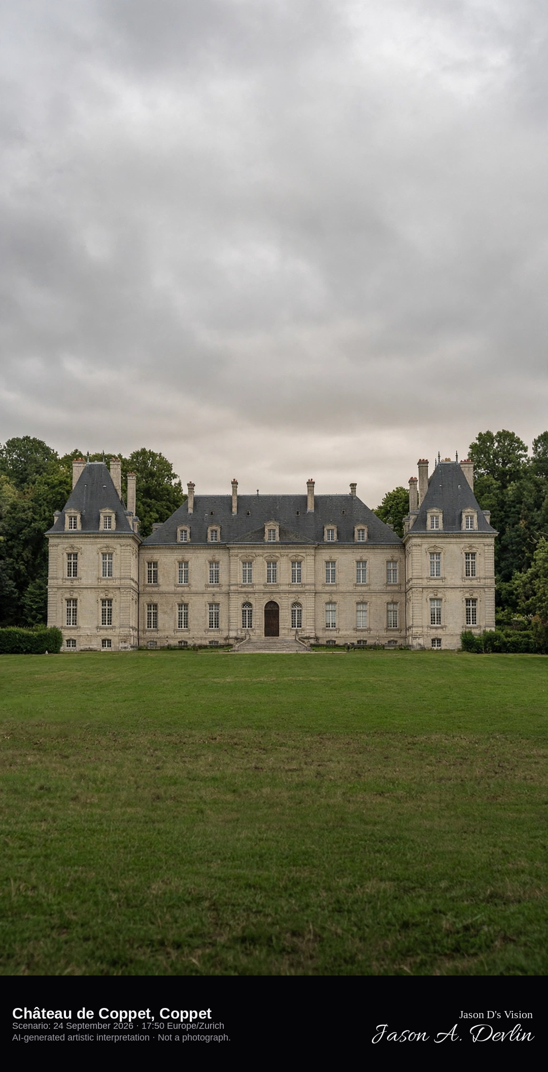
South façade of Château de Coppet in its park · AI-generated artistic interpretation
Château de Coppet is the classical U-shaped house above the town of Coppet, with a French south façade and two pavilions set in an English park near Lake Geneva. The medieval fortress survives only as the older wing inside that classical front. It is not a lakeside military square like Morges or Rolle. The Open-Meteo model is heavily clouded and warm, with no rain.
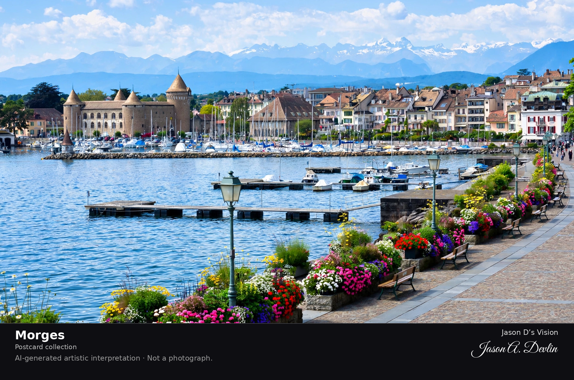
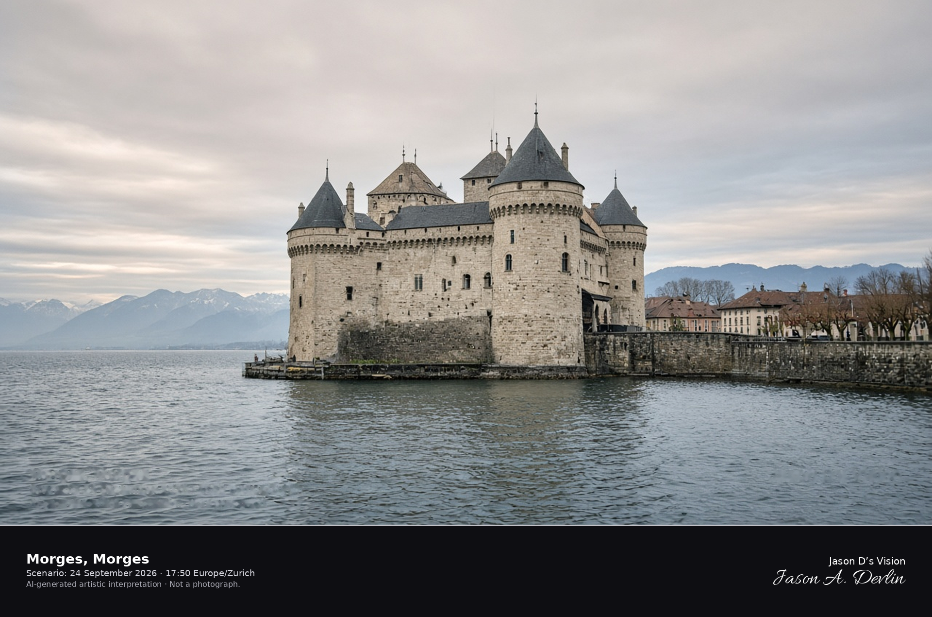
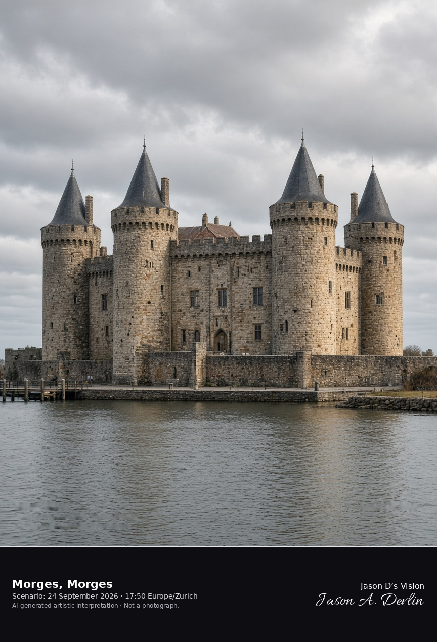
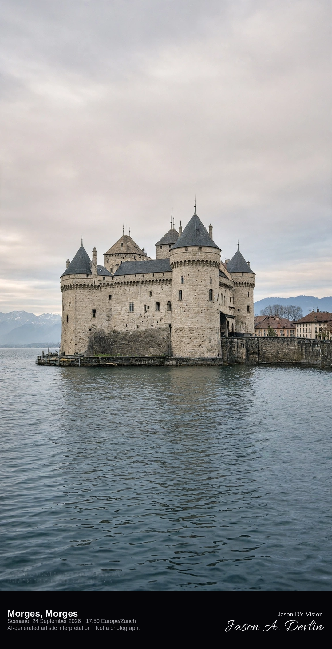
The square castle of Morges on the Lake Geneva quay · AI-generated artistic interpretation
Morges meets Lake Geneva at the Savoyard square castle built for Louis of Savoy from 1286 to 1291, four round corner towers on the quay with one tower larger than the others. The harbor and the town sit behind the walls, and the far Alps are only as clear as the light allows. This is not the irregular castle and island at Rolle. The Open-Meteo model is fully overcast and warm, with no rain.
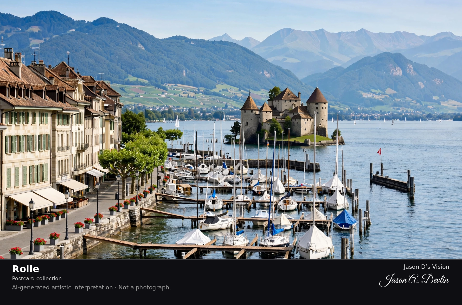
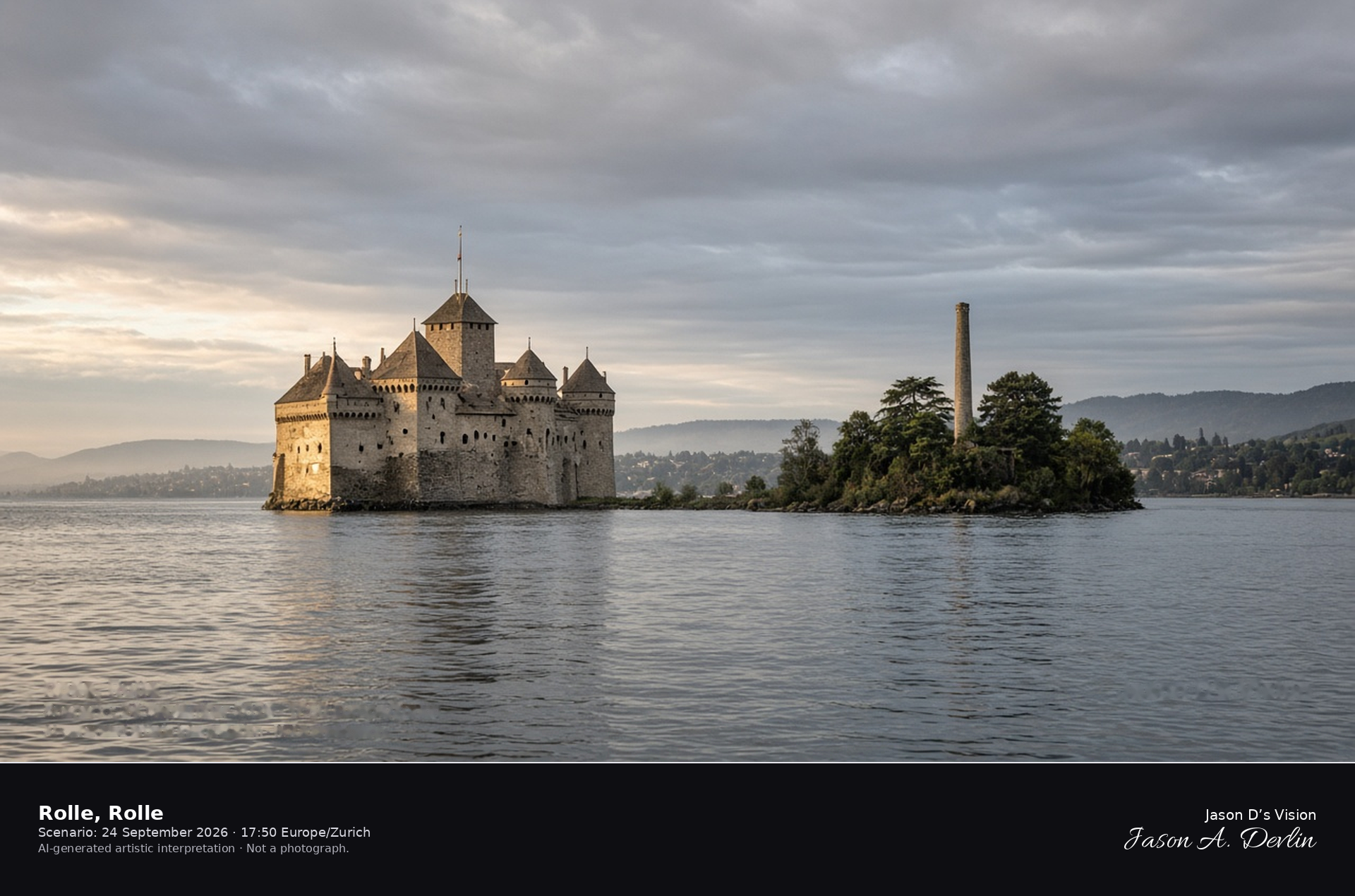
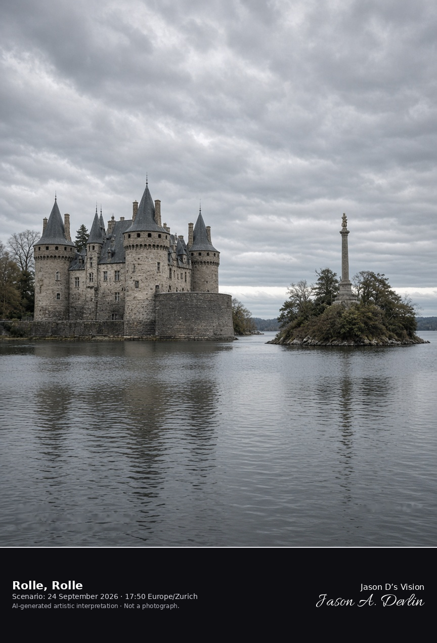
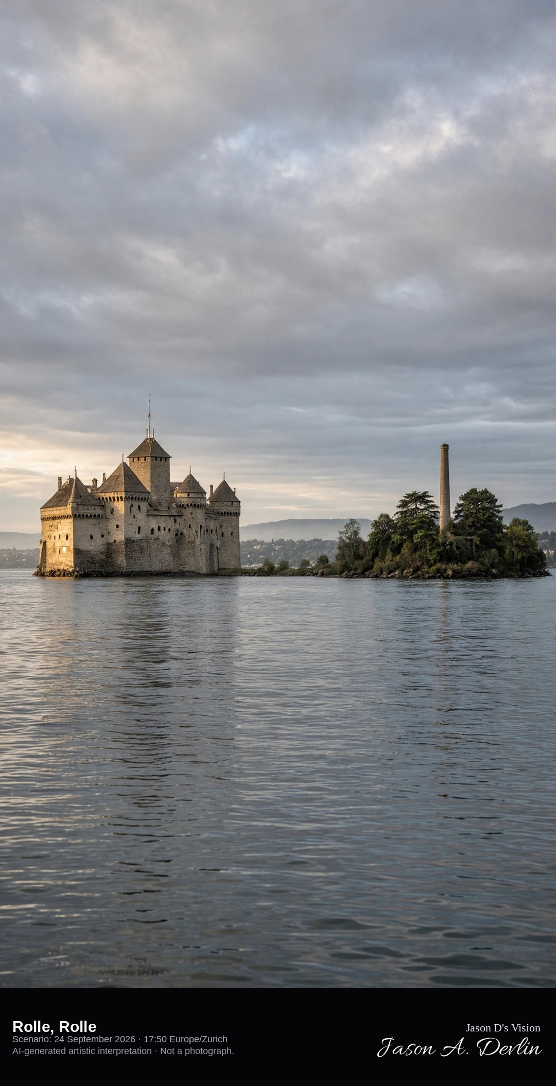
Rolle Castle and the Île de la Harpe on Lake Geneva · AI-generated artistic interpretation
Rolle’s castle stands close to the water on an irregular plan, with a round northwest tower, a rectangular tower toward the lake, and two raised semi-oval towers. About seventy metres offshore, the artificial Île de la Harpe carries a column among trees. The plan is not the regular four-tower square of Morges. The Open-Meteo model is heavily clouded and warm, with no rain.
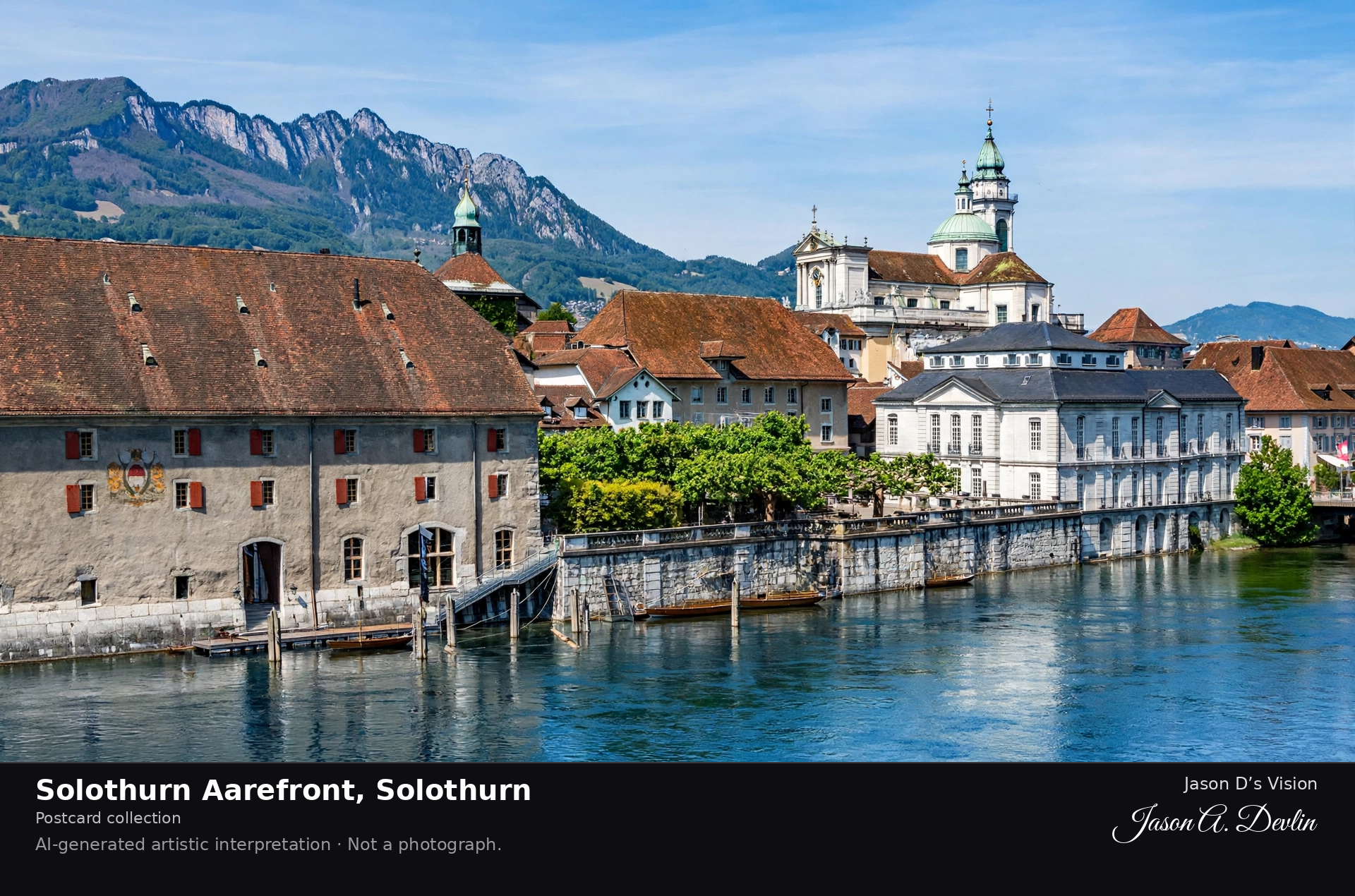
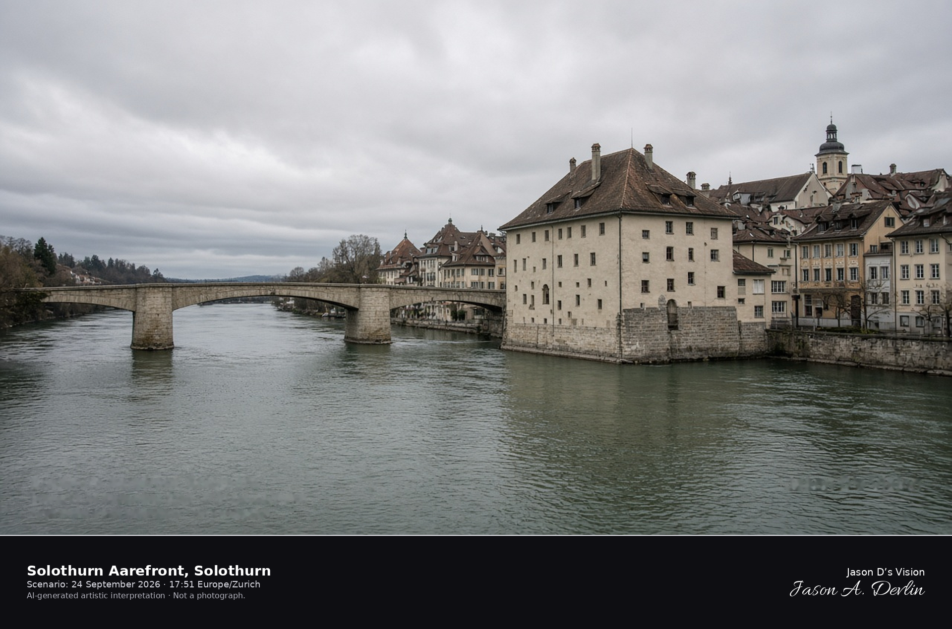
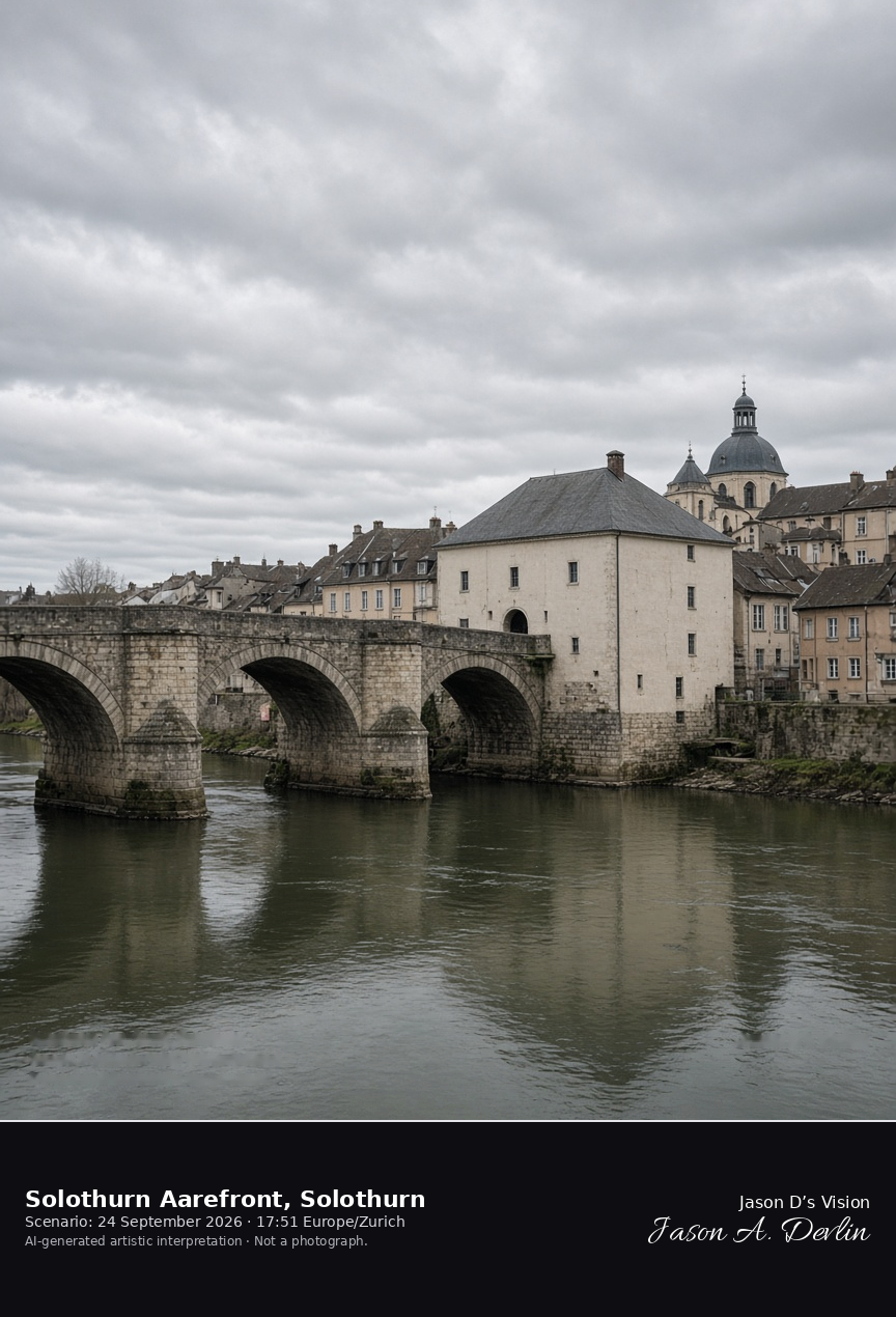
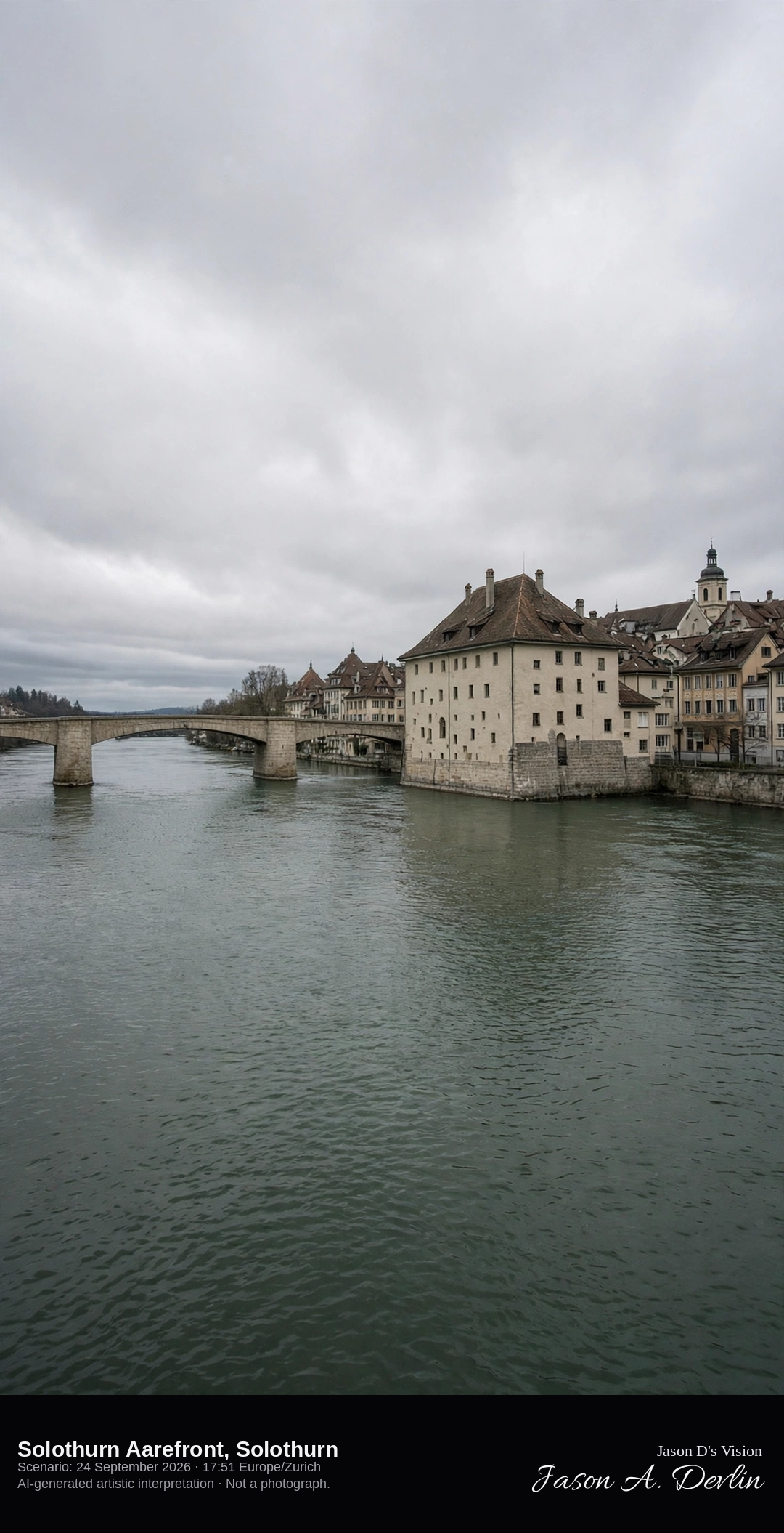
The Aare, the Landhaus, and the Wengibrücke in Solothurn · AI-generated artistic interpretation
The Aarefront of Solothurn is the river wall of the old town, with the Landhaus projecting into the water and the low stone Wengibrücke on limestone piers. Baroque roofs line the south bank, and the ceremonial stair of St. Ursus Cathedral is a separate scene. The Open-Meteo model is heavily clouded and warm, with no rain.
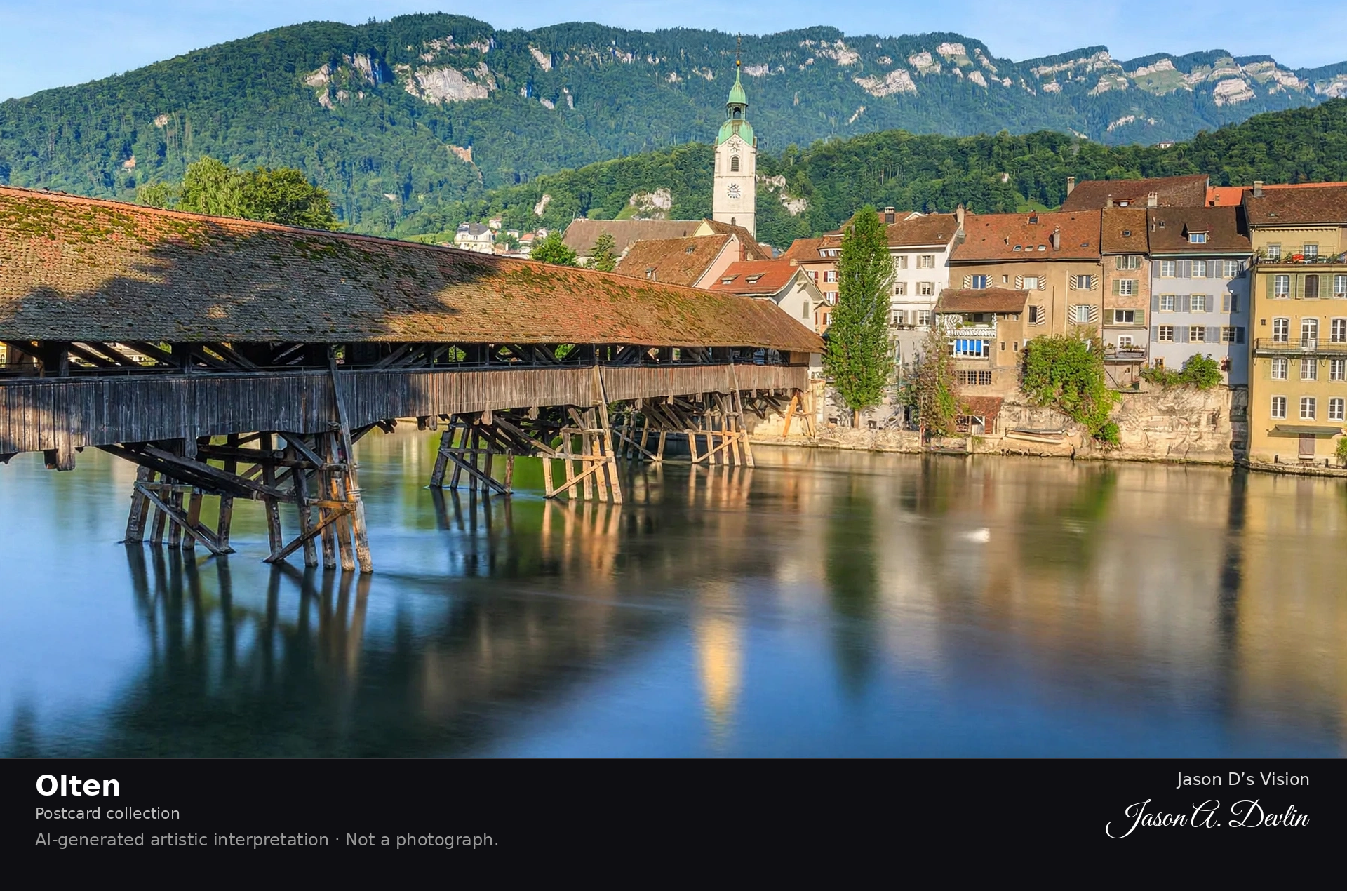
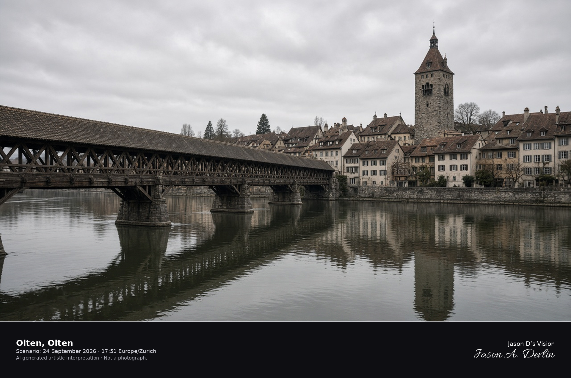
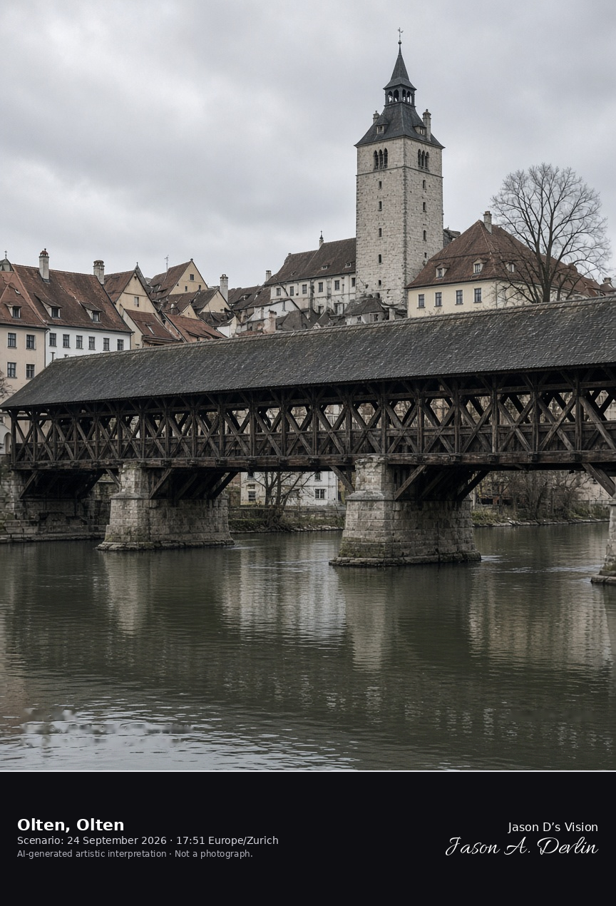
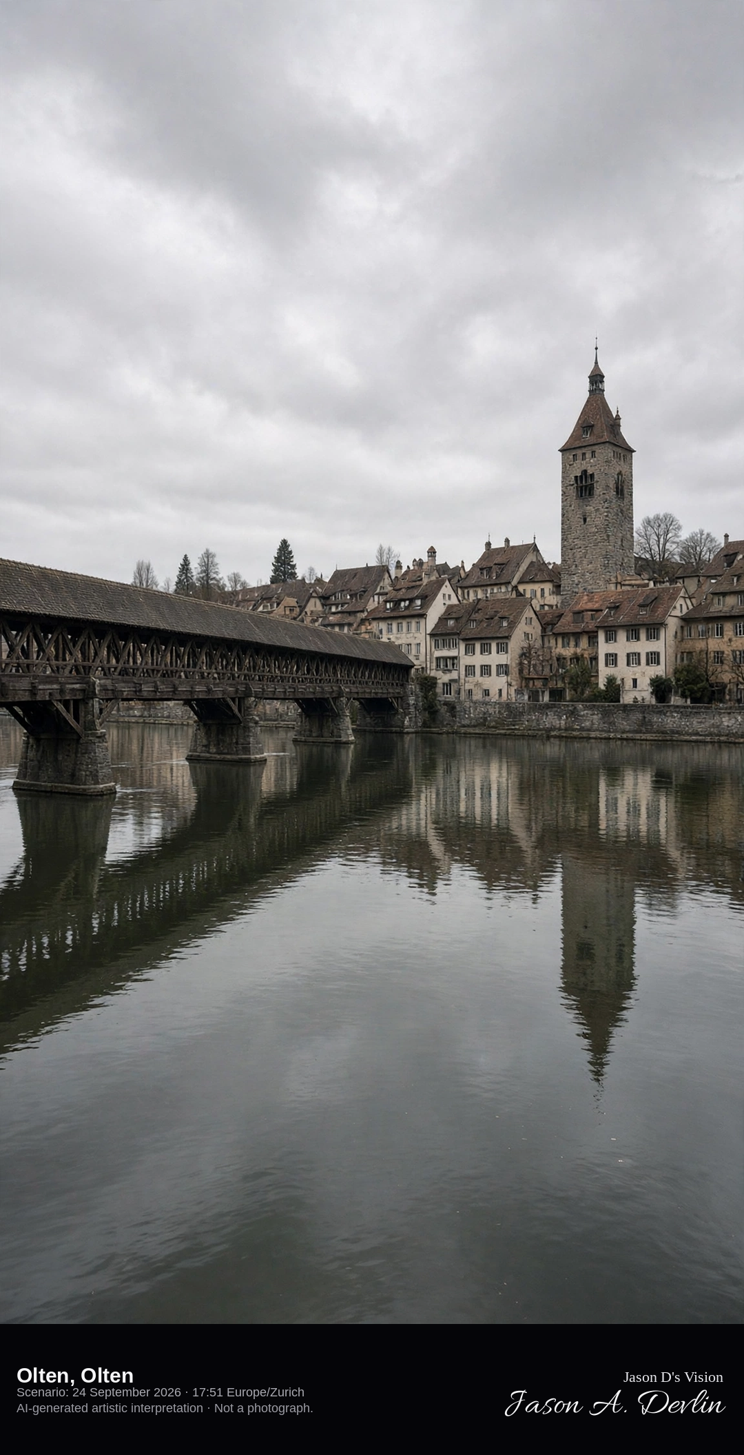
The covered wooden Alte Brücke over the Aare at Olten · AI-generated artistic interpretation
Olten crosses the Aare on the covered wooden Alte Brücke, the bridge rebuilt in 1803 on a crossing recorded since 1295, with the old-town roofs and the city tower beyond the south bank. The open timber sides and the dark roof identify the span. This is not the Aarefront of Solothurn. The Open-Meteo model is fully overcast and warm, with a light breeze and no rain.
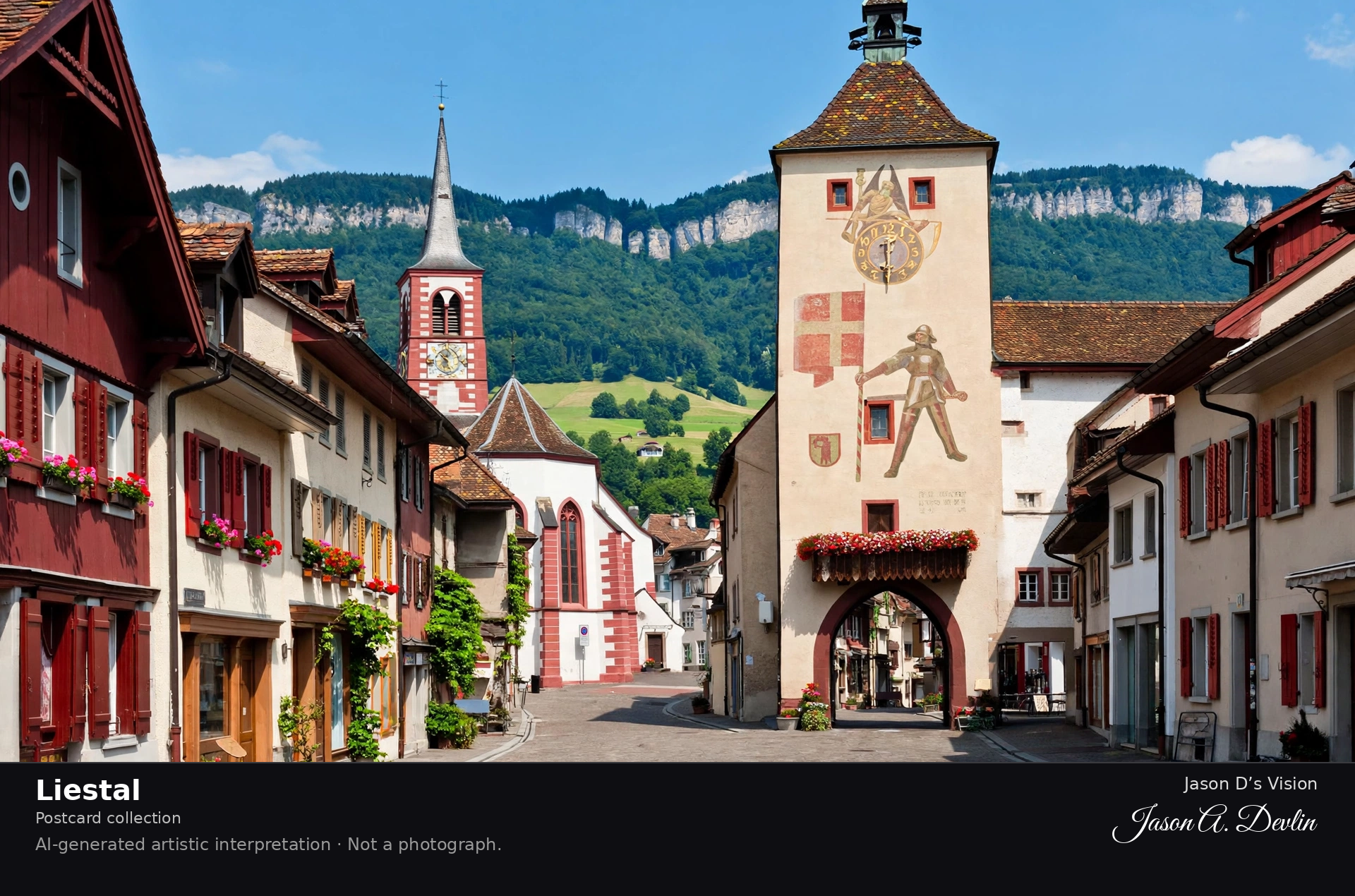
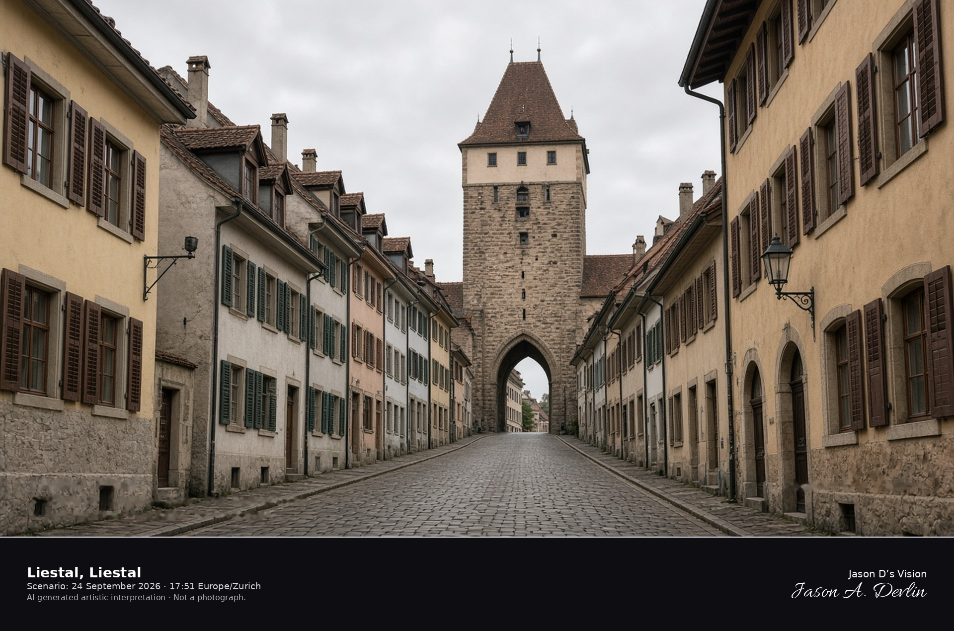
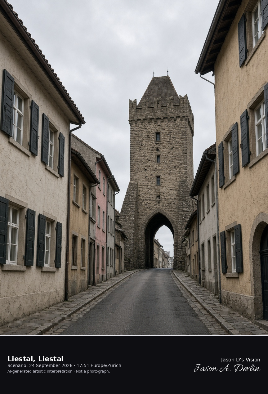
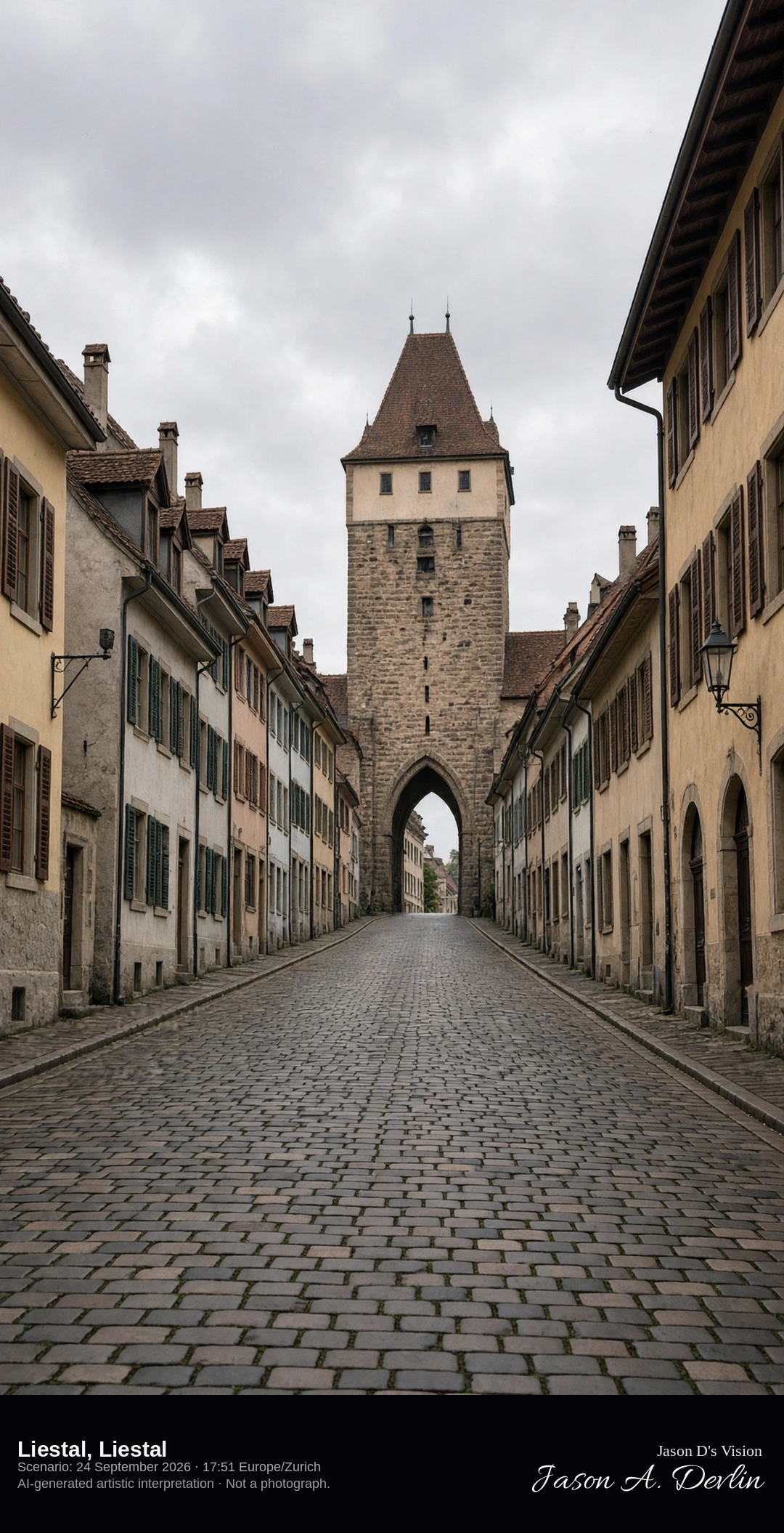
Rathausstrasse closing on the Obertor in Liestal · AI-generated artistic interpretation
Liestal’s Rathausstrasse climbs to the Obertor, called the Törli, the pointed-arch gate that closed the south end of the old town. The tower’s timber dates from 1398–99, and the street of the cantonal capital runs to the arch. This is not the Rhine front of Basel. The Open-Meteo model is fully overcast and warm, with no rain.
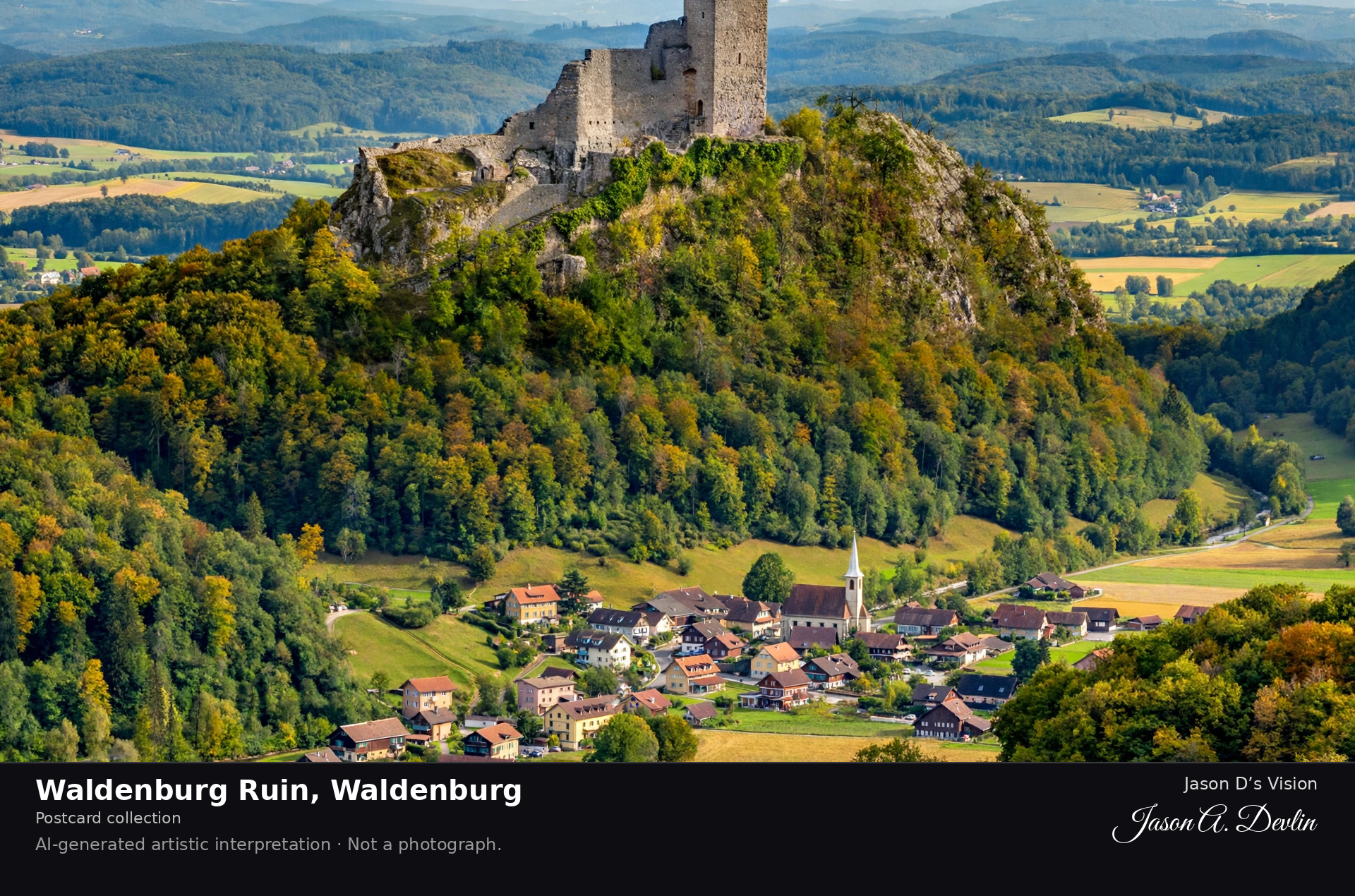
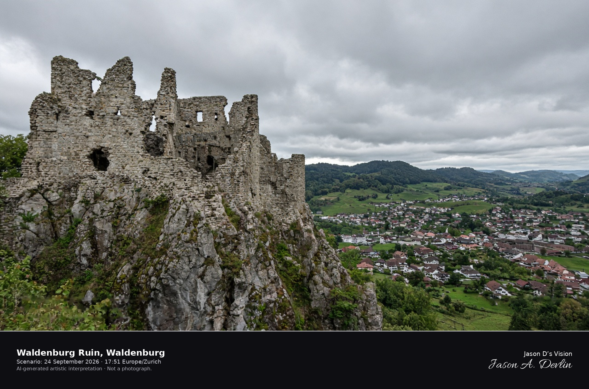
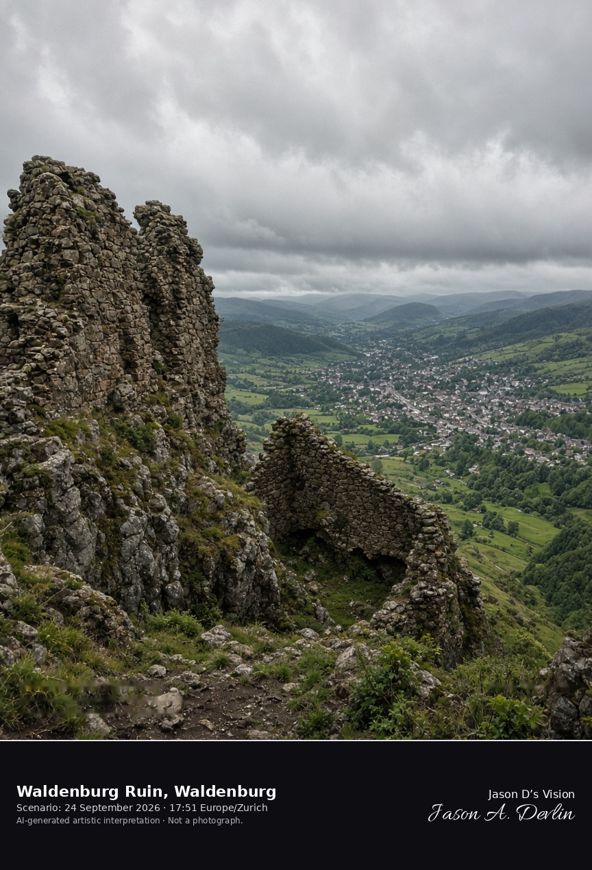
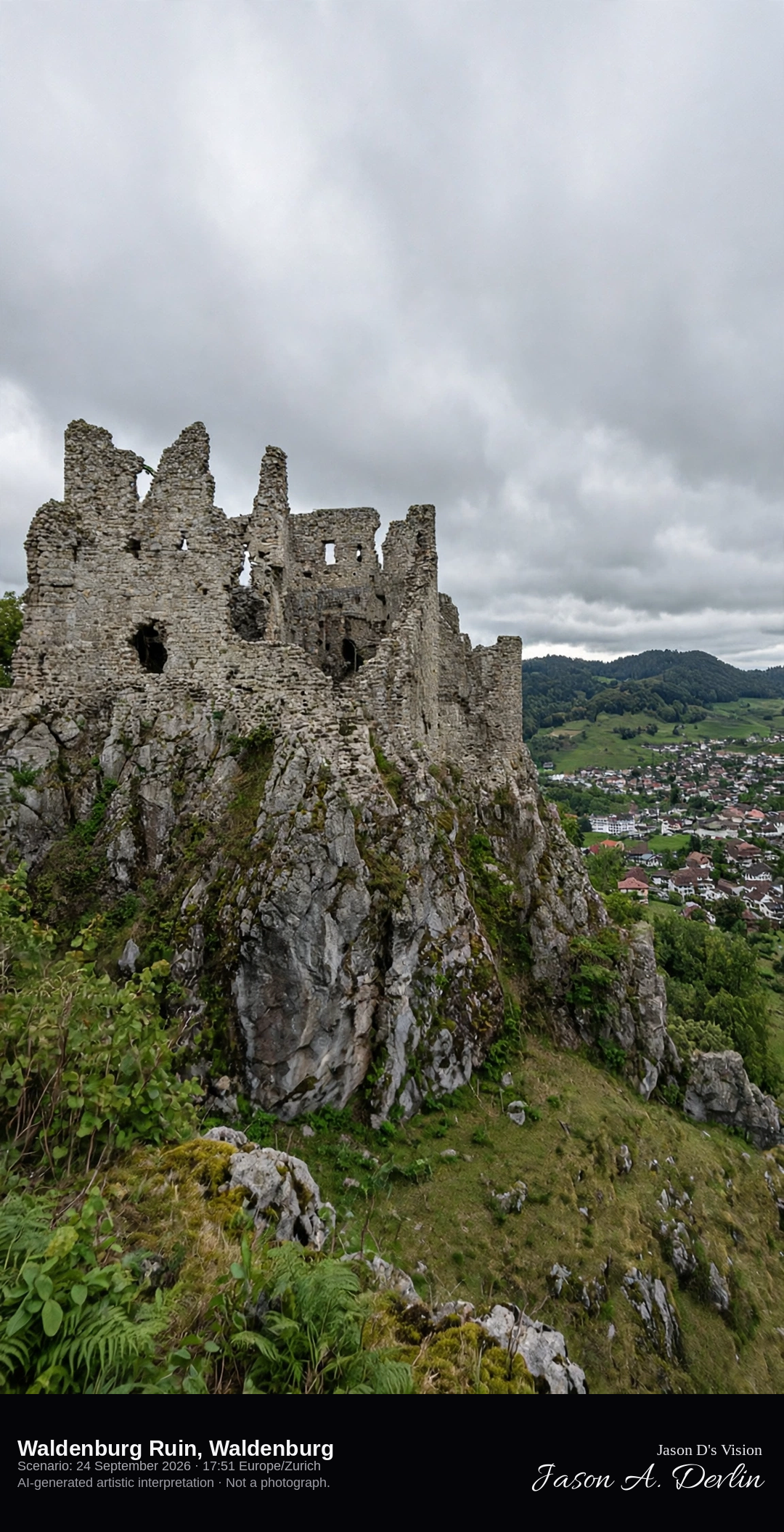
The Waldenburg ruin on the Rehag ridge above the town · AI-generated artistic interpretation
The Waldenburg ruin stands on the Rehag rock ridge about 170 metres above the small town, with substantial medieval masonry of the Frohburg castle burned in 1798. The walls are a ruin, not a restored palace, and the town roofs sit in the valley of the Vordere Frenke. Reigoldswil was not used. The Open-Meteo model is fully overcast and mild for the ridge, with no rain.
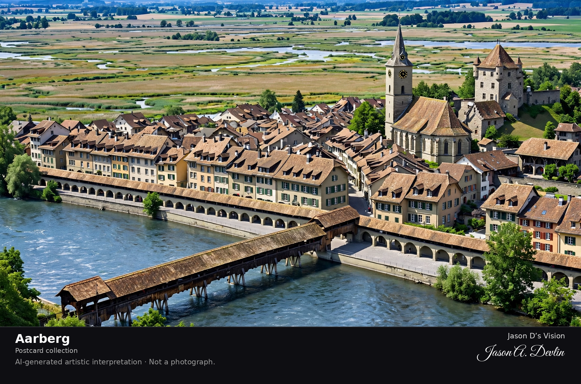
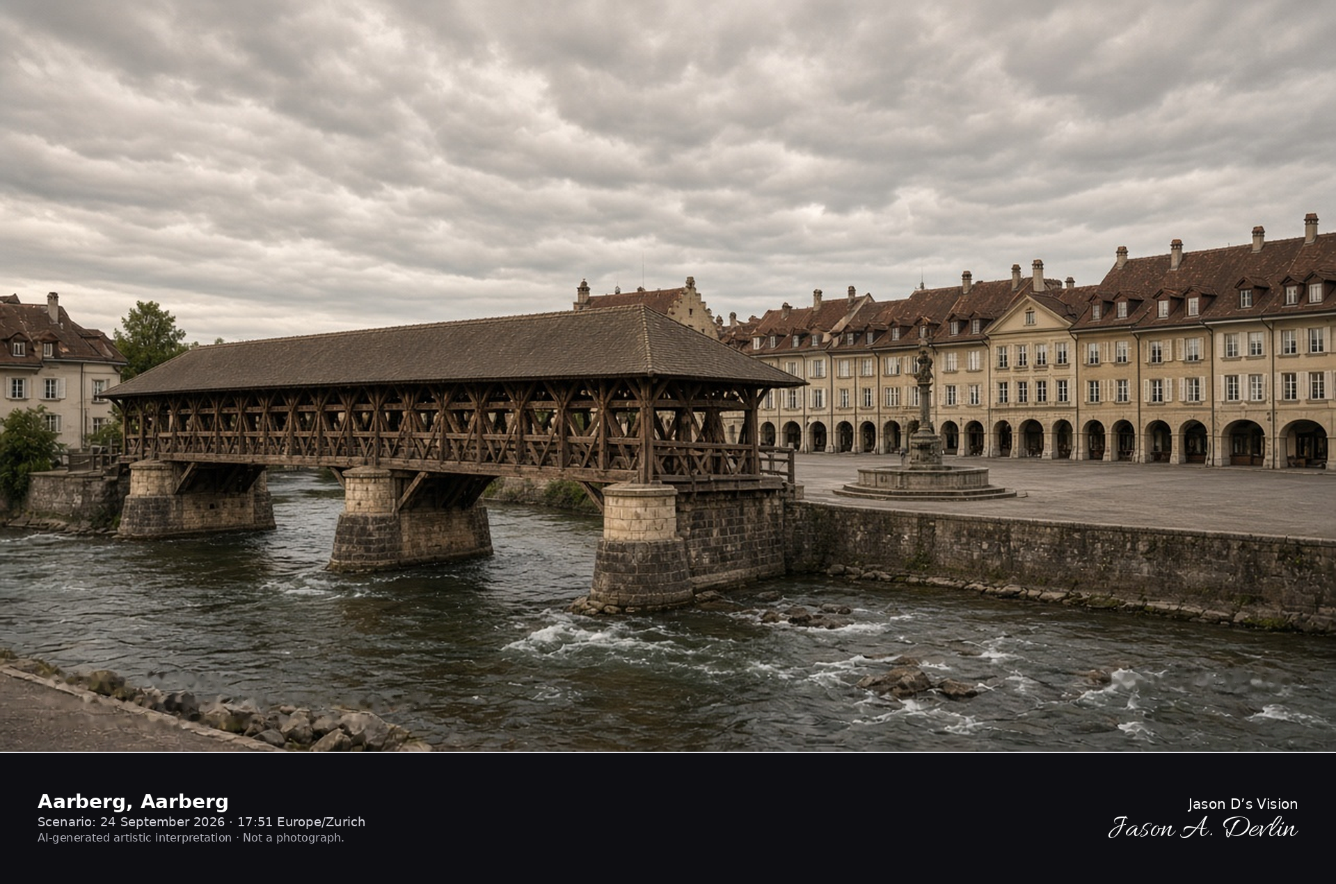
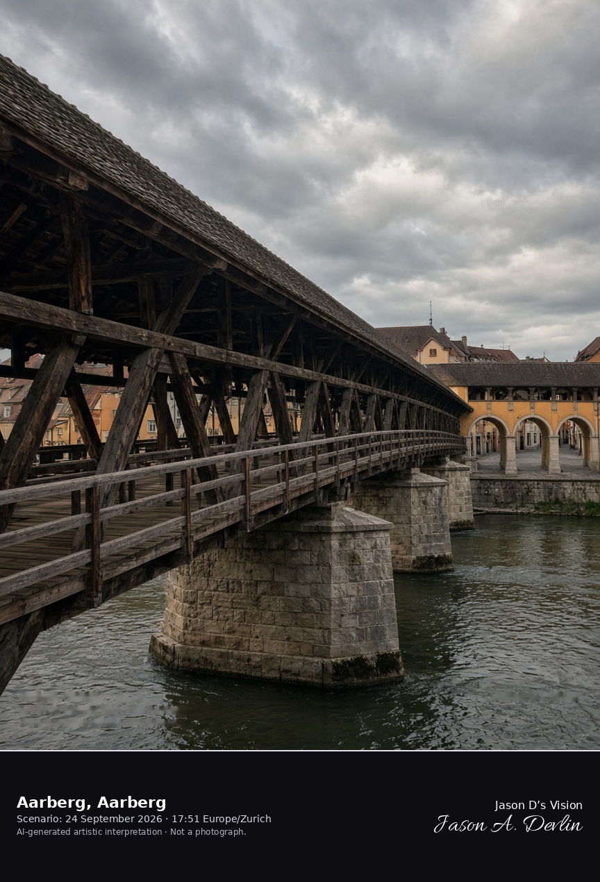
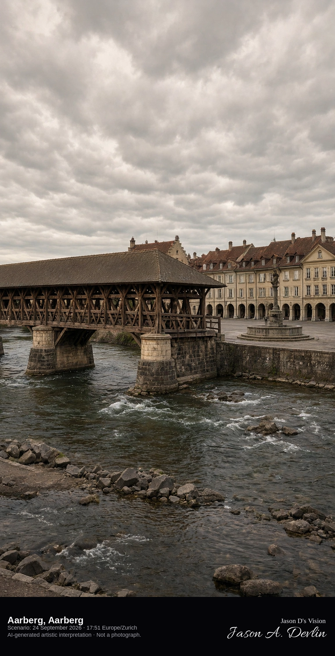
The covered wooden bridge and Stadtplatz at Aarberg · AI-generated artistic interpretation
Aarberg’s old town opens onto a wide Stadtplatz, and the covered wooden bridge of 1566–69 crosses the Alte Aare on three stone piers. The bridge is about 86 metres long, with hanging trusses under a slightly hipped roof. The main Aare was diverted by the Hagneck canal, so the frame is the old channel and the arcaded square, not a river island in flood. The Open-Meteo model is heavily clouded and warm, with no rain.
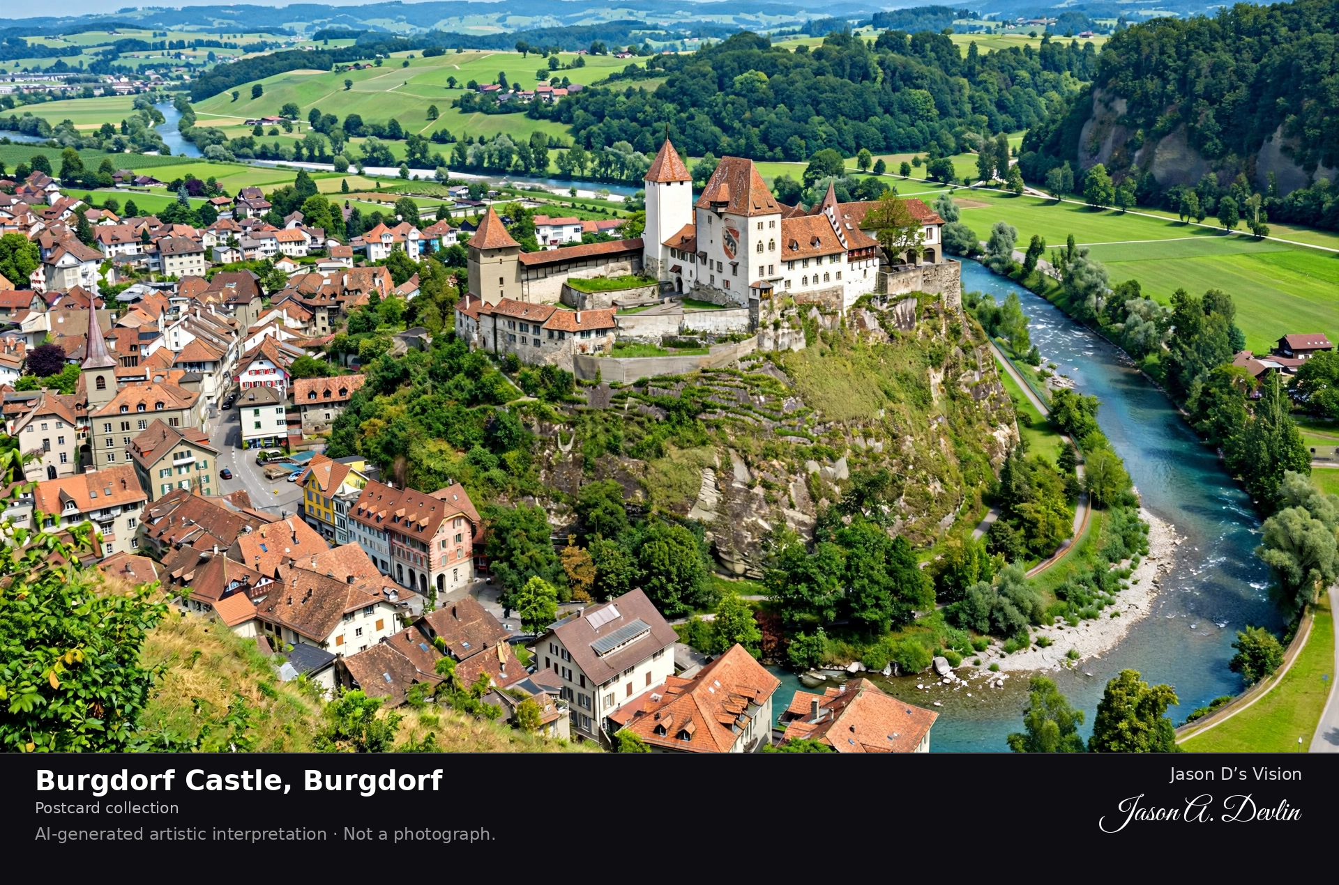
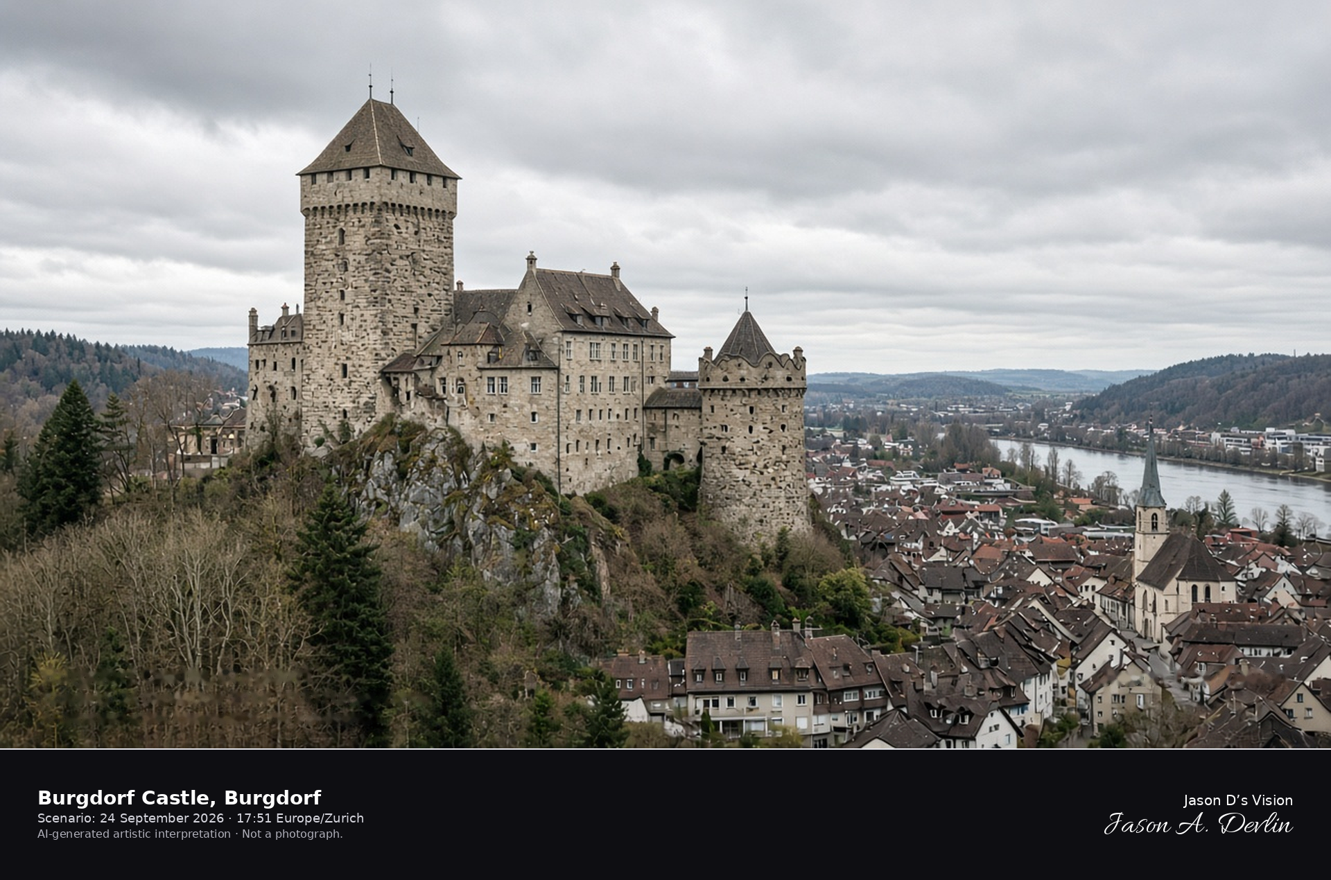
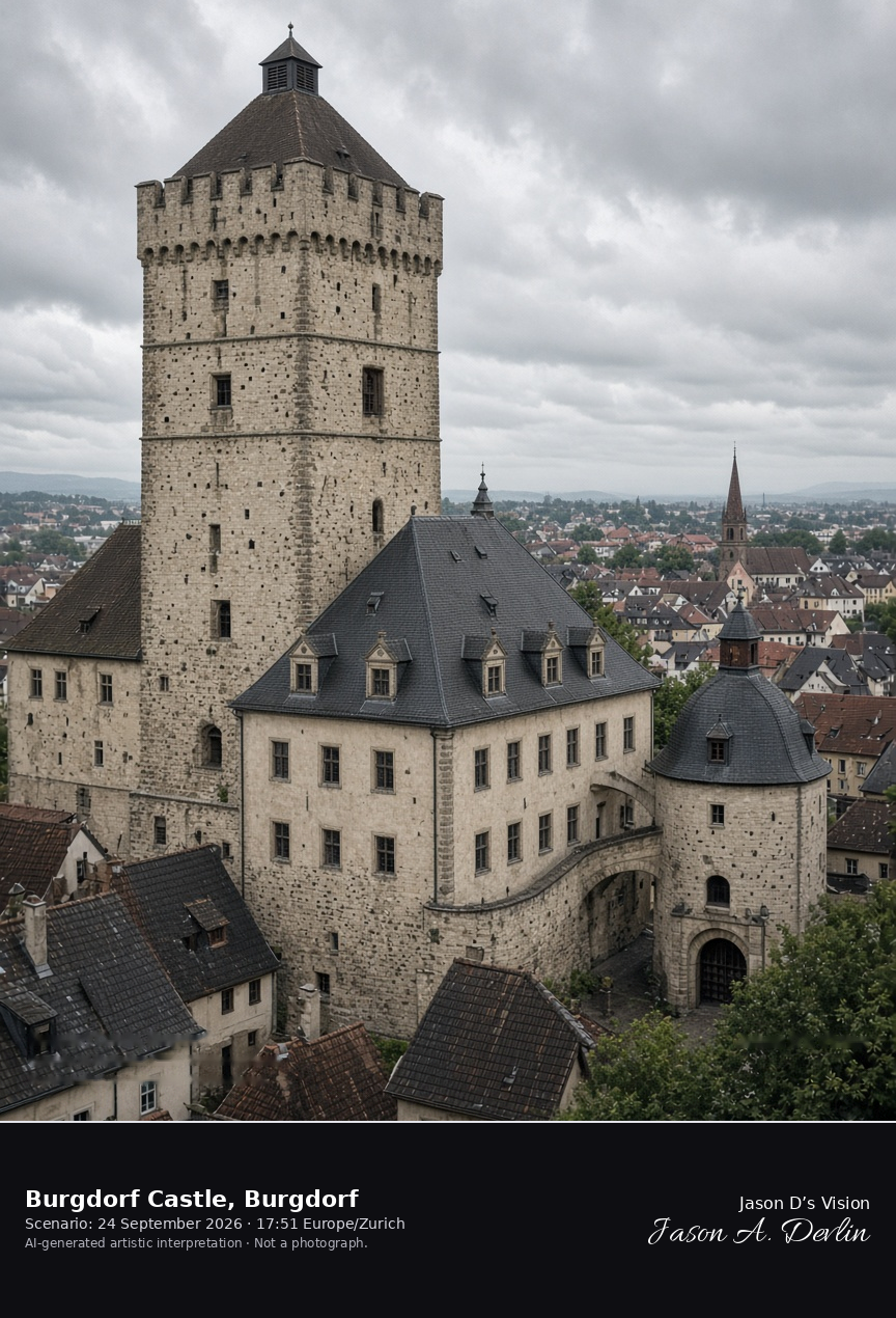
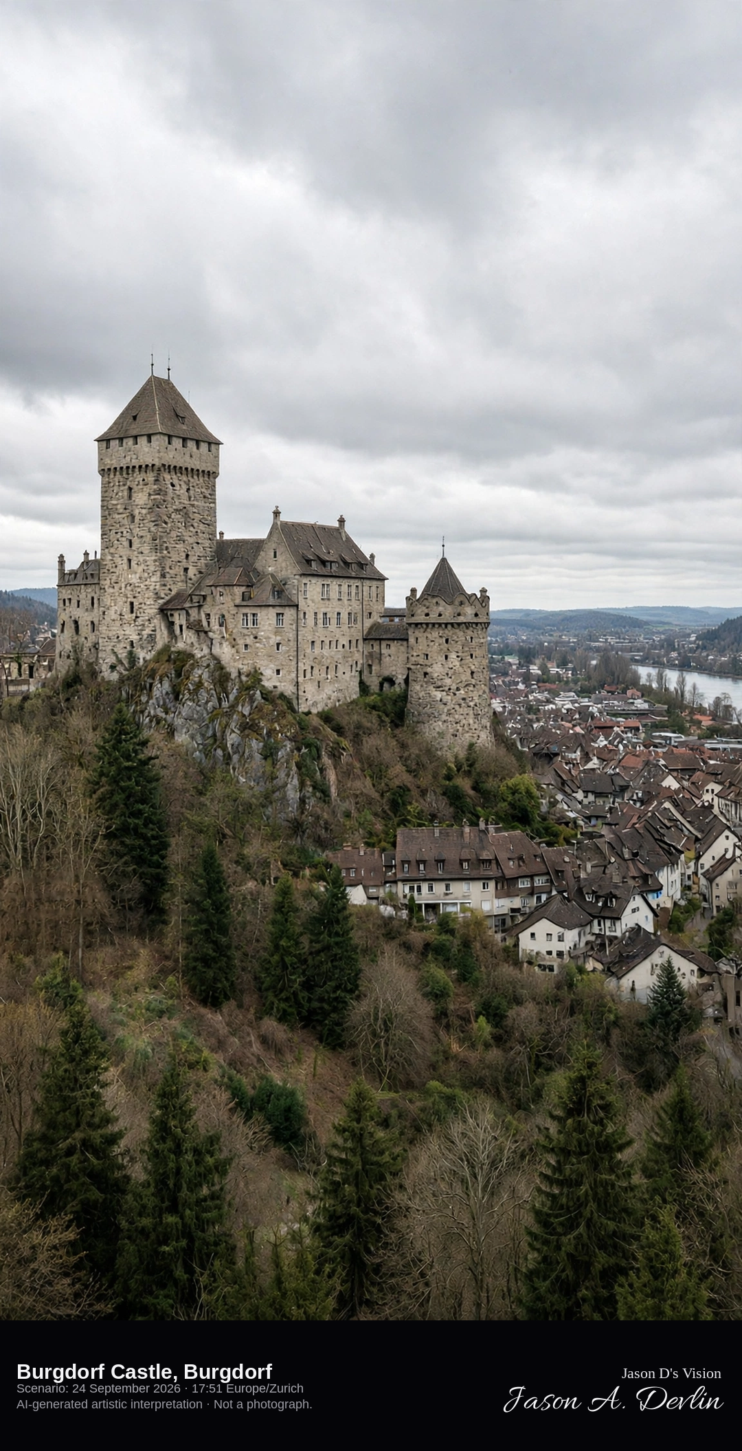
Burgdorf Castle keep and palas above the town · AI-generated artistic interpretation
Burgdorf Castle crowns the hill above the Emme, a Zähringen complex whose square keep of about 1200 carries a hipped roof and battlements beside the palas and the curved gate tower. The old town and its church sit below the rock. This is not Thun Castle on the lake. The Open-Meteo model is nearly fully overcast and mild, with no rain.
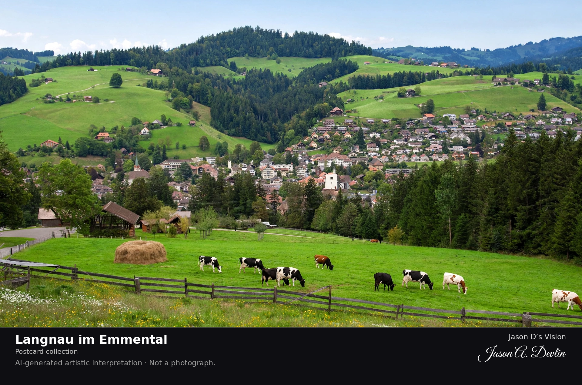
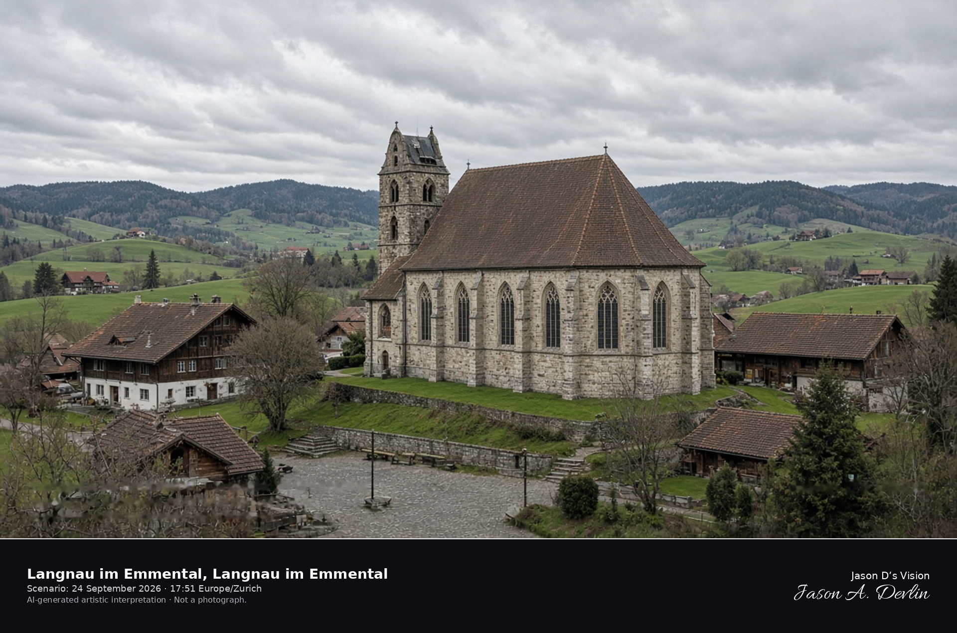
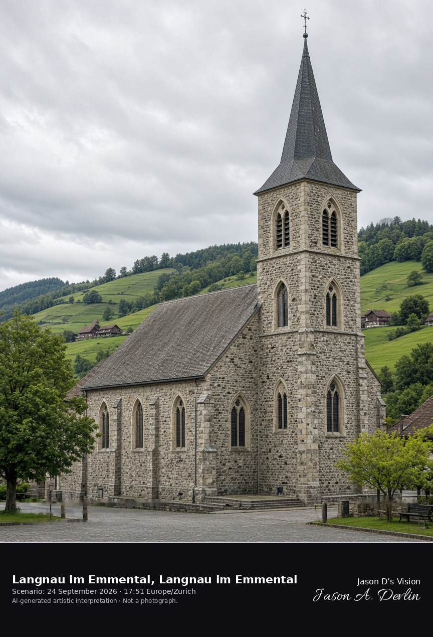
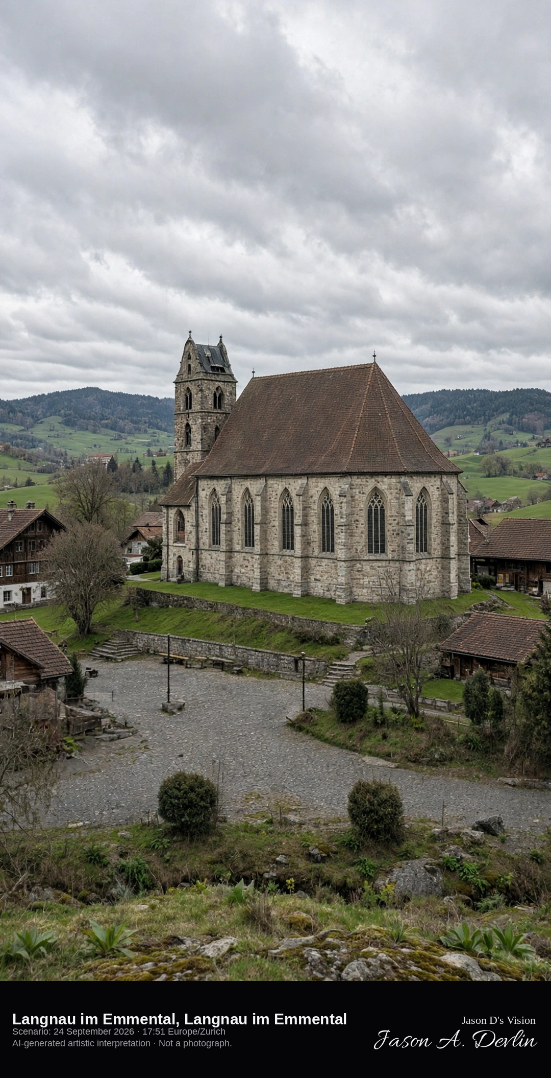
The Reformed church on its spur in Langnau im Emmental · AI-generated artistic interpretation
Langnau im Emmental gathers around the Reformed church on its spur, a late-Gothic hall of 1673–74 by Abraham Dünz under a high hipped roof, with an older tower. Pointed windows face the square, and the Emmental hills of pasture roll behind the roofs. The interior is not shown. The Open-Meteo model is fully overcast and mild, with almost no wind and no rain.
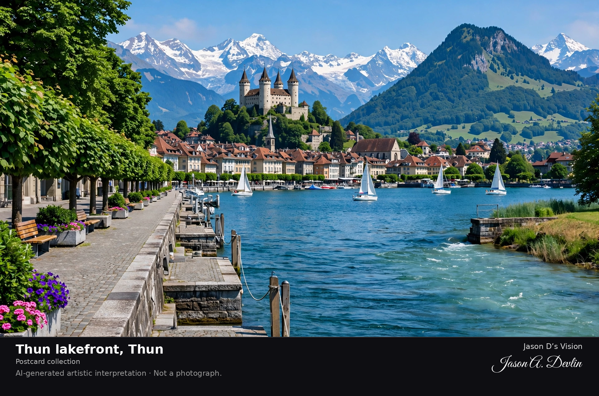
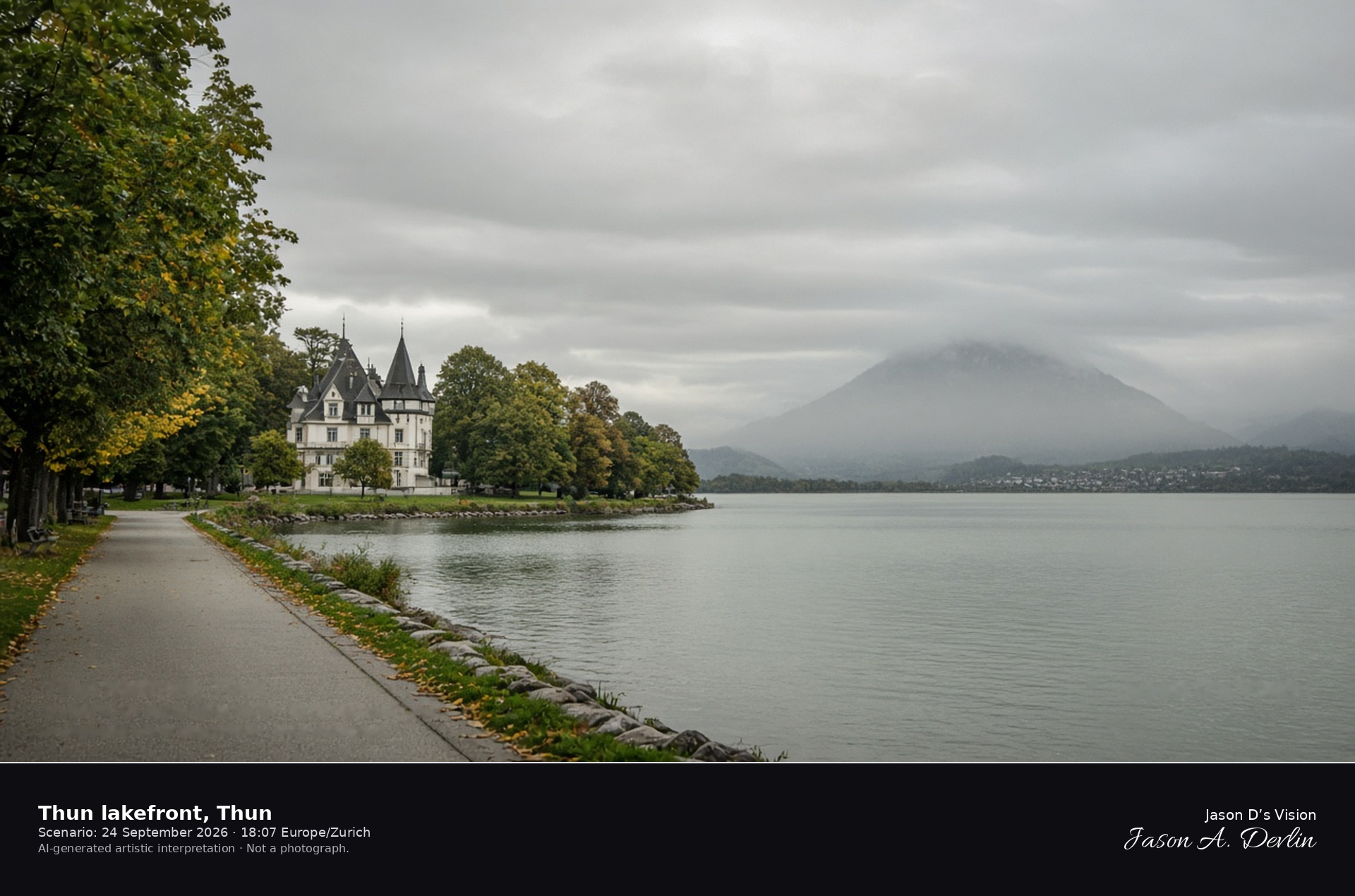
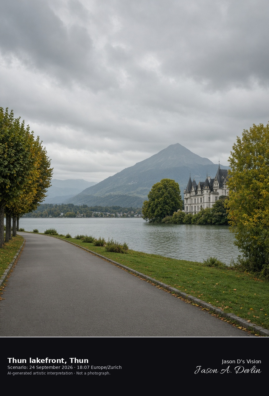
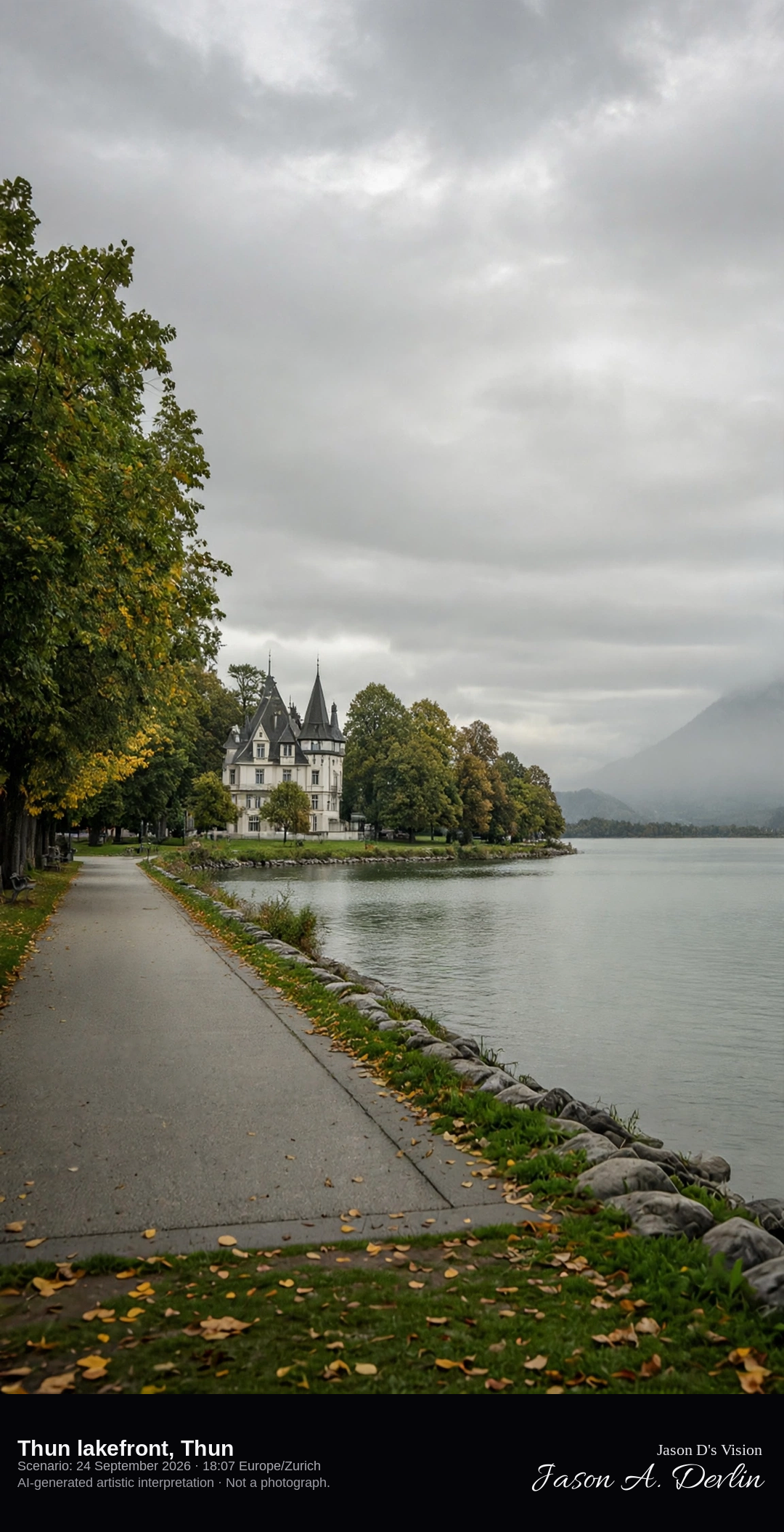
Schadau Park and the Thun lakeshore looking across Lake Thun · AI-generated artistic interpretation
The Thun lakefront is the promenade beside Schadau Park, where Schloss Schadau stands on the lake side of the Aare. Lake Thun opens in front of the château, and the Niesen is only a faint pyramid under cloud. This is not Thun Castle, the medieval keep above the old town. The Open-Meteo model is fully overcast and mild, with no rain.
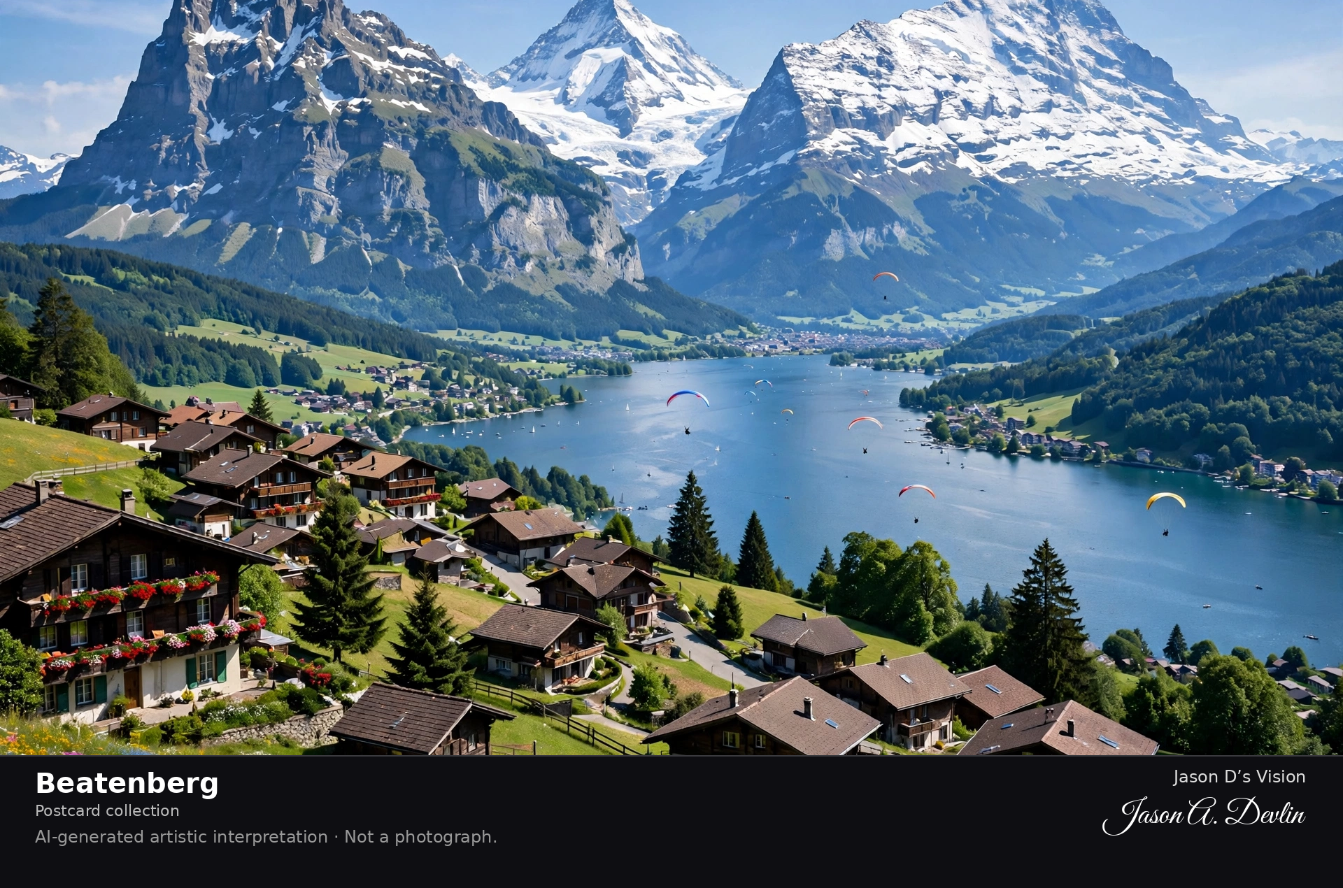
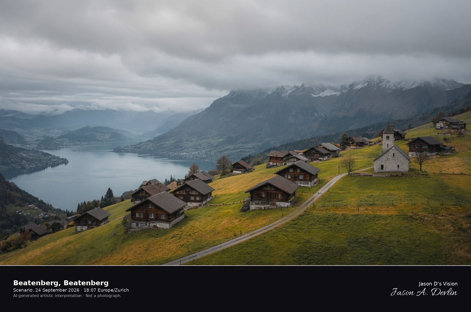
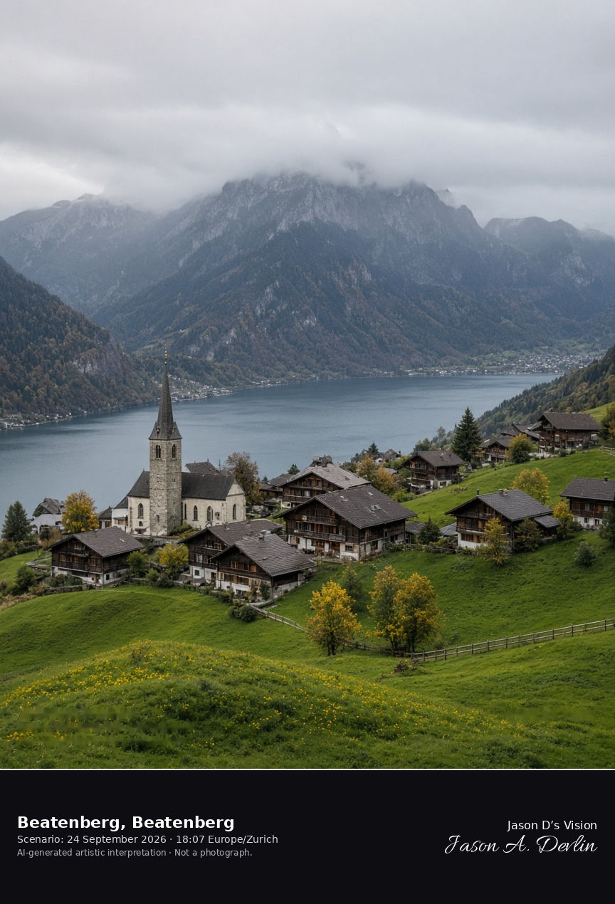
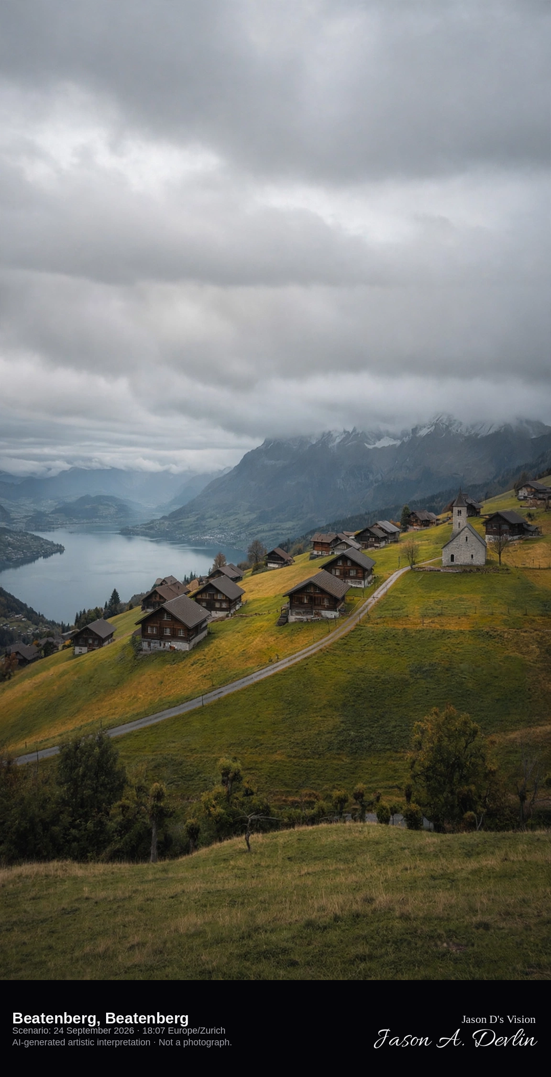
Beatenberg church and chalets on the terrace above Lake Thun · AI-generated artistic interpretation
Beatenberg is the terrace village above Lake Thun, with wooden chalets and the church along the meadow lane. The lake lies far below, and the Eiger, Mönch, and Jungfrau stay soft in cloud. At this height in late September the meadows are green to tawny, without village snow. The Open-Meteo model is heavily overcast and cool, with no rain.
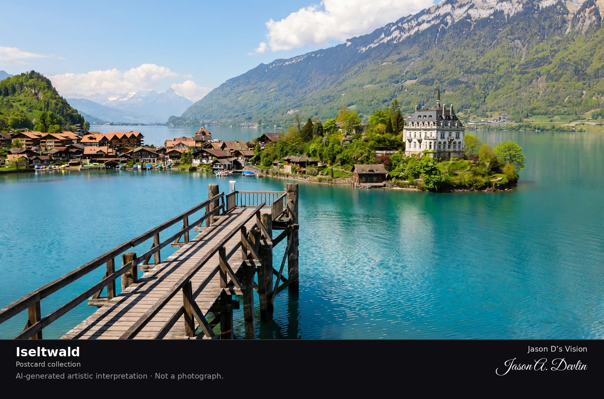
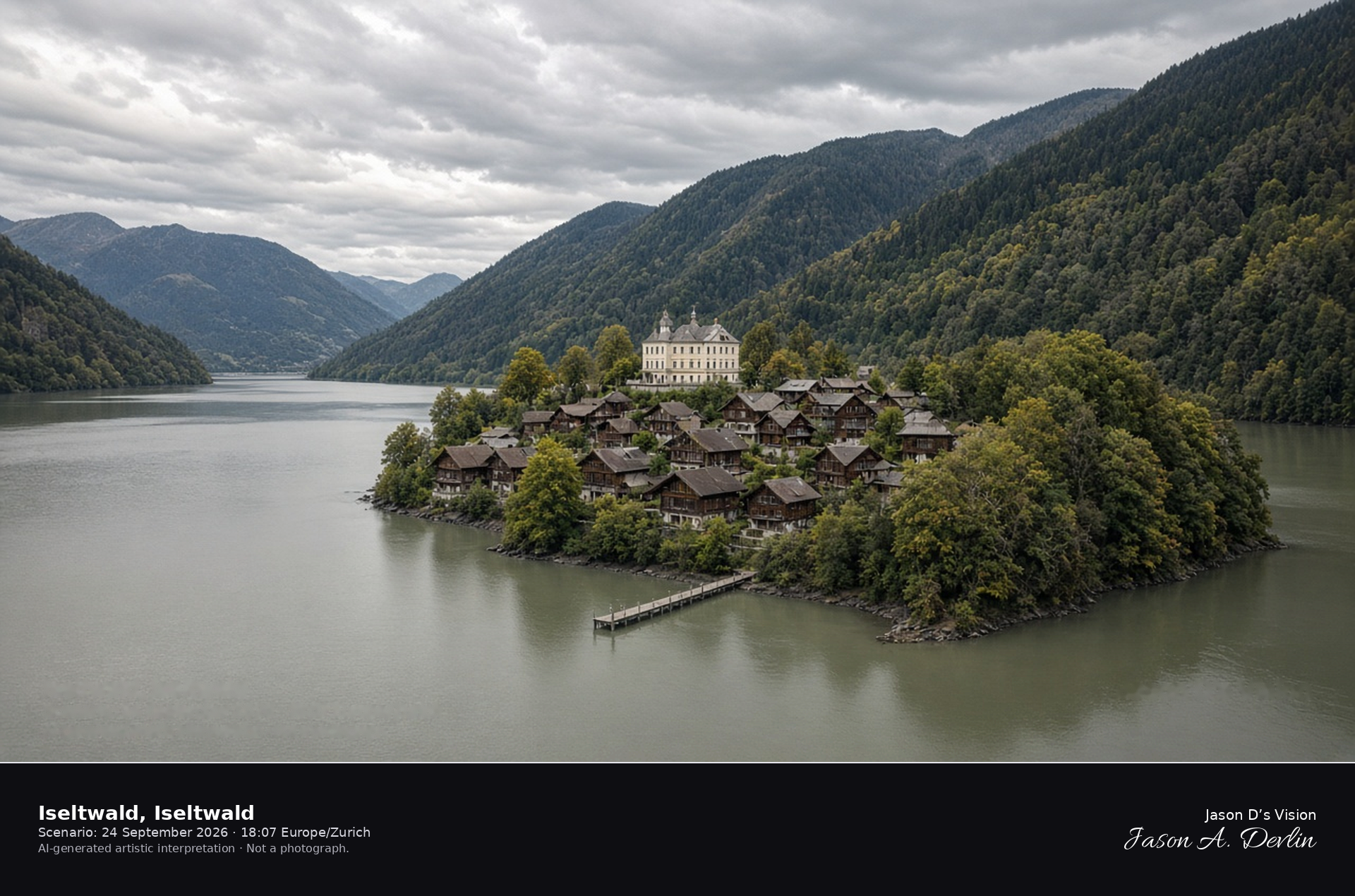
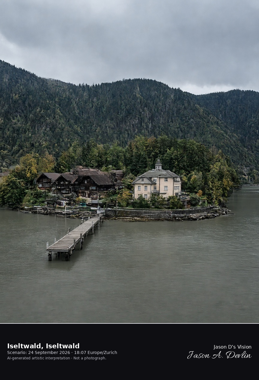
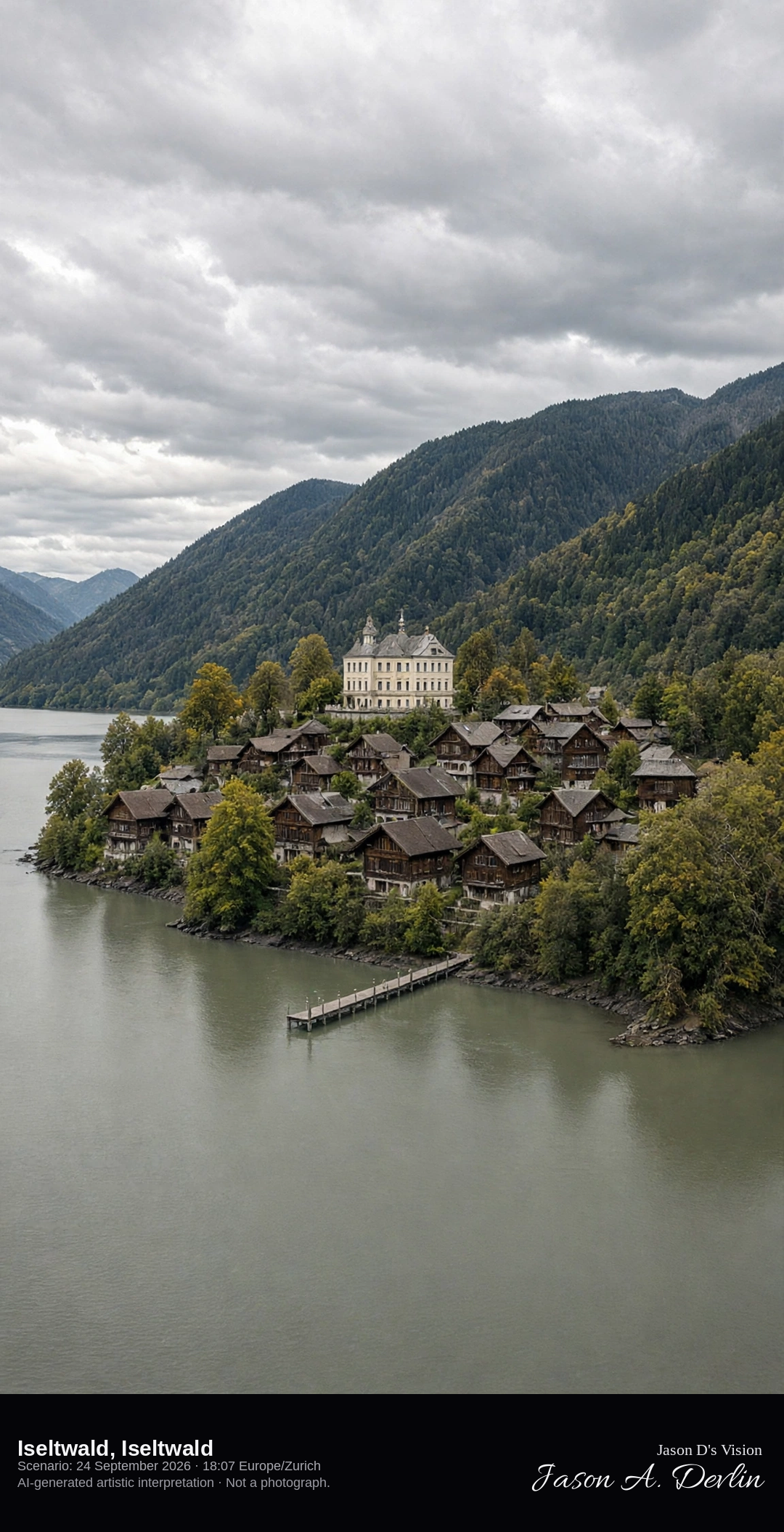
Iseltwald peninsula and bay pier on Lake Brienz · AI-generated artistic interpretation
Iseltwald sits on a peninsula of Lake Brienz, a cluster of wooden houses with Schloss Seeburg on the point and a wooden pier in the bay. The lake is a muted gray-green under cloud, and the slopes behind the village are wooded. This is the peninsula village, not Brienz itself. The Open-Meteo model is heavily clouded and mild, with no rain.
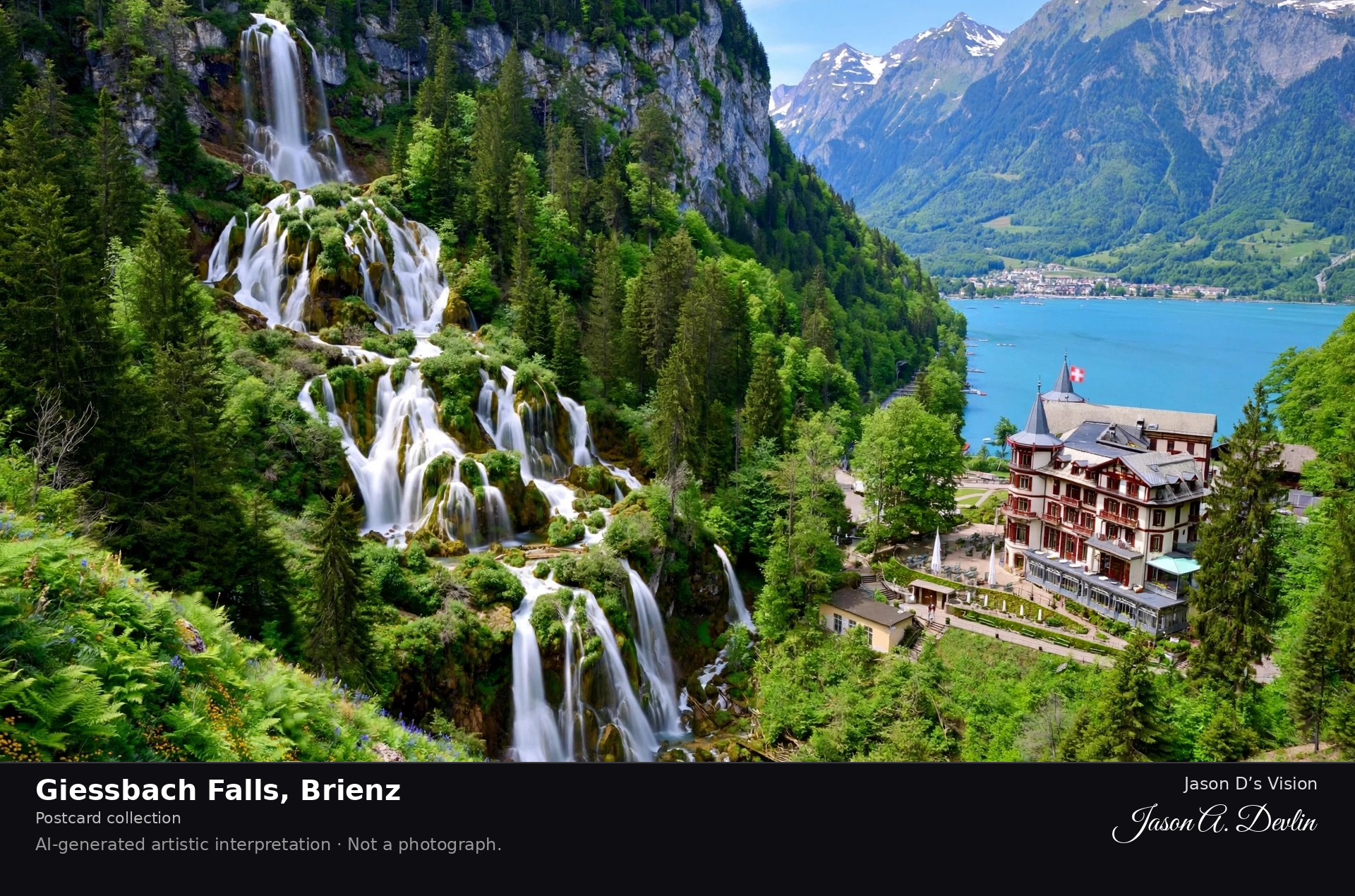
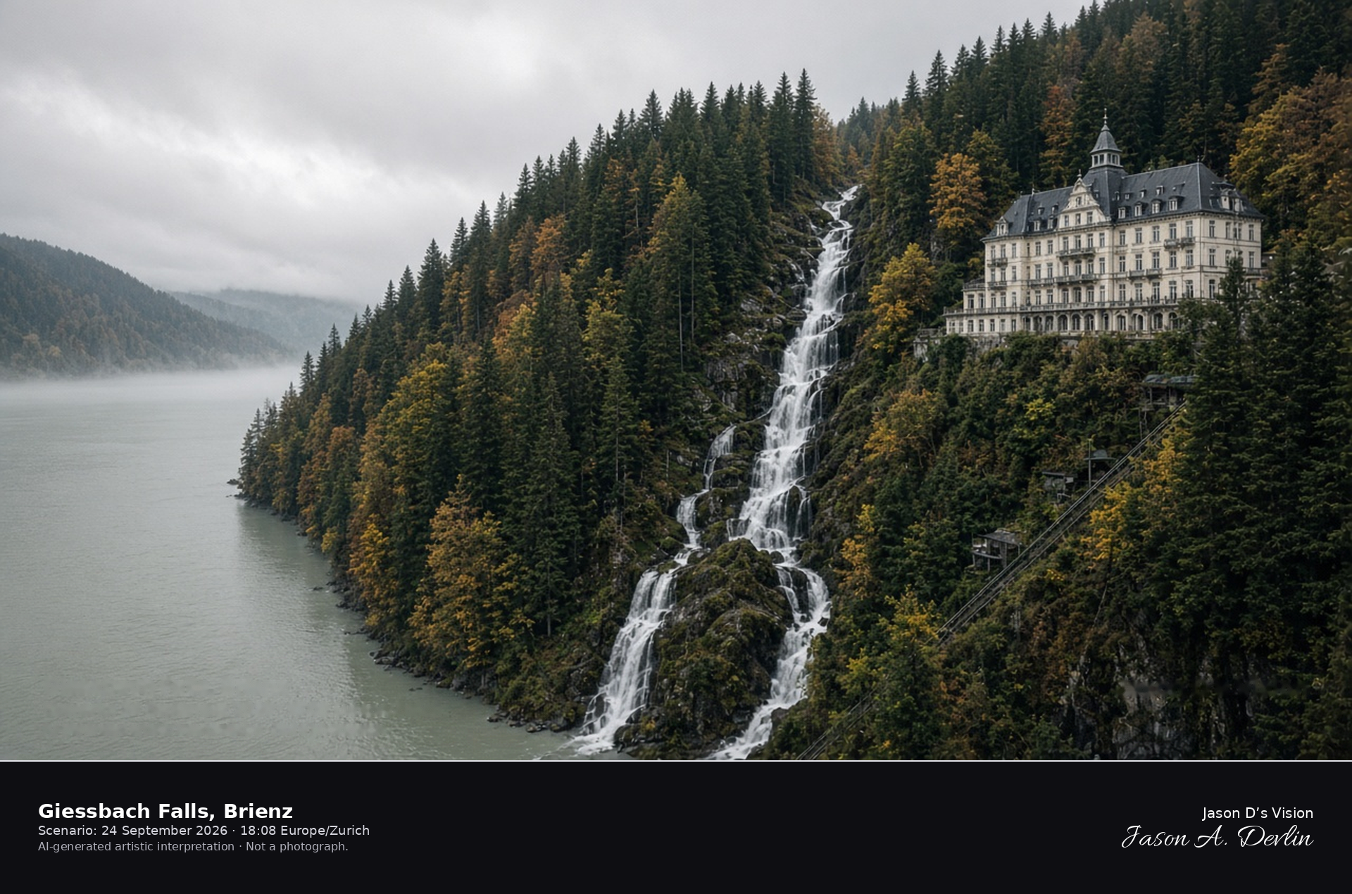
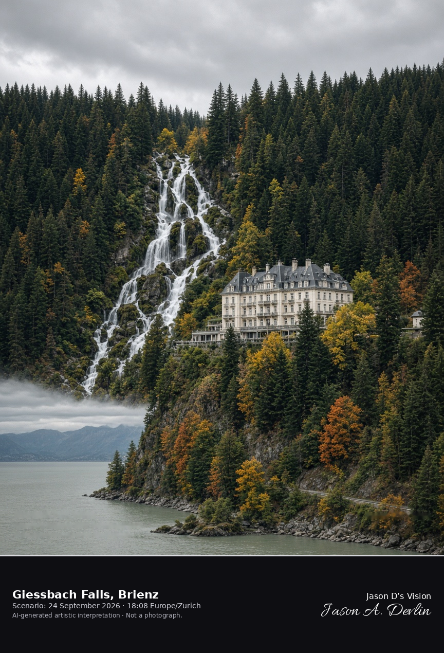
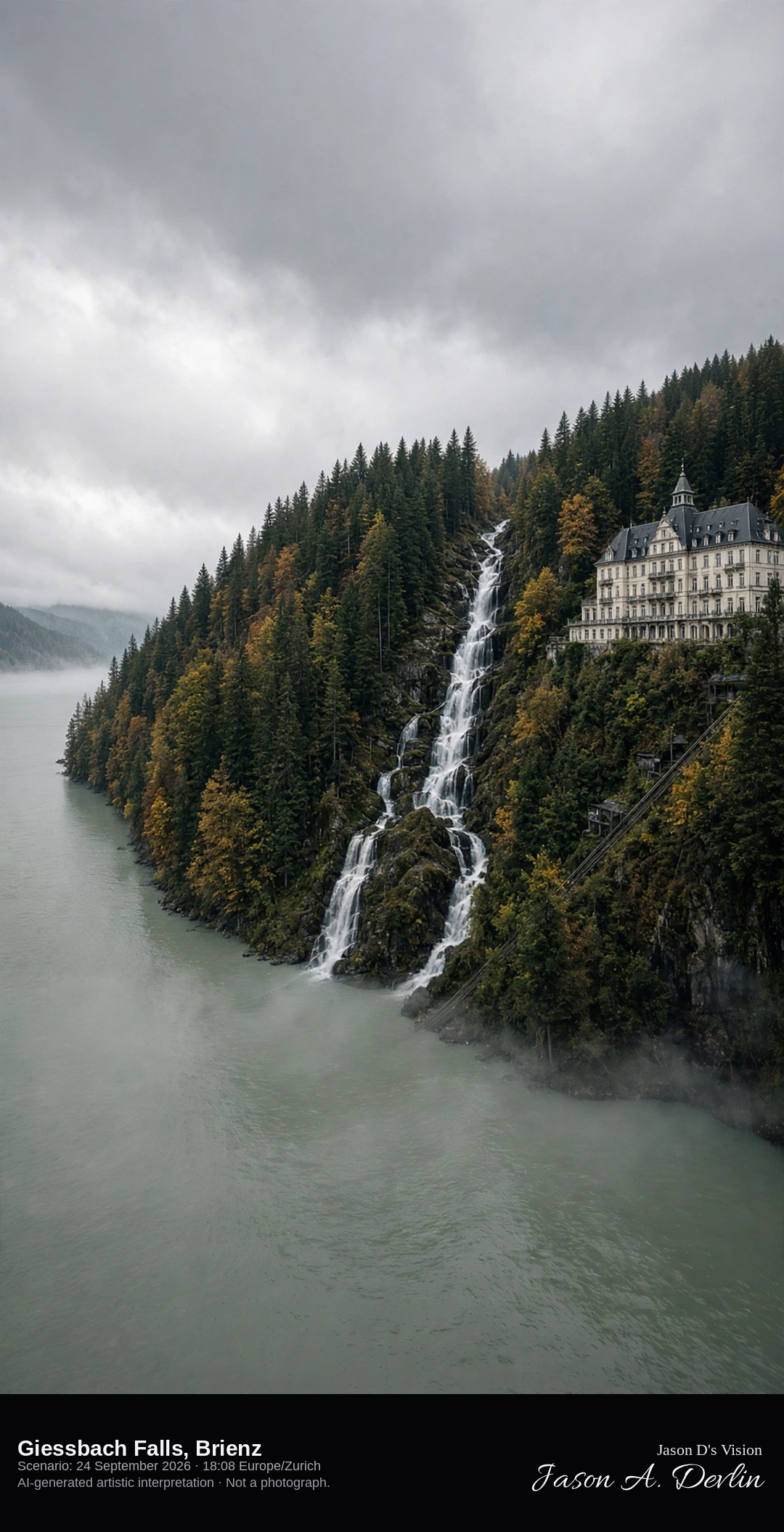
Giessbach Falls and the Grandhotel above Lake Brienz · AI-generated artistic interpretation
The Giessbach Falls drop in a long series of tiers through the forest beside the Grandhotel Giessbach and into Lake Brienz. The hotel is the Belle Époque house on the slope, and the historic funicular is only a thin line. This is the falls above the lake, not the wooden village of Brienz. The Open-Meteo model is fully overcast and mild, with no rain.
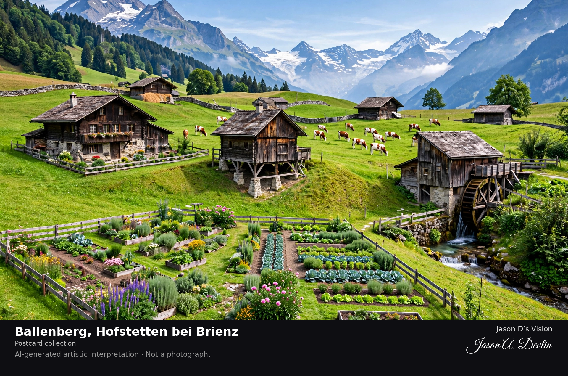
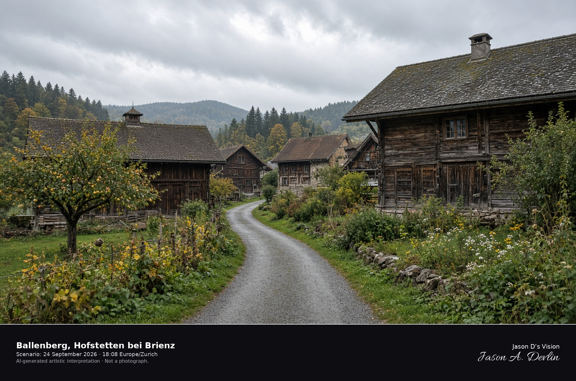
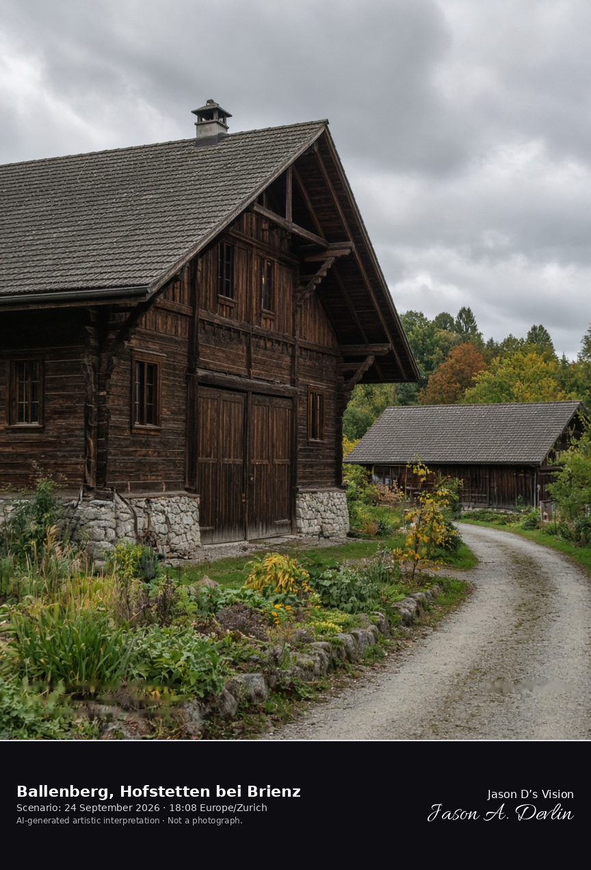
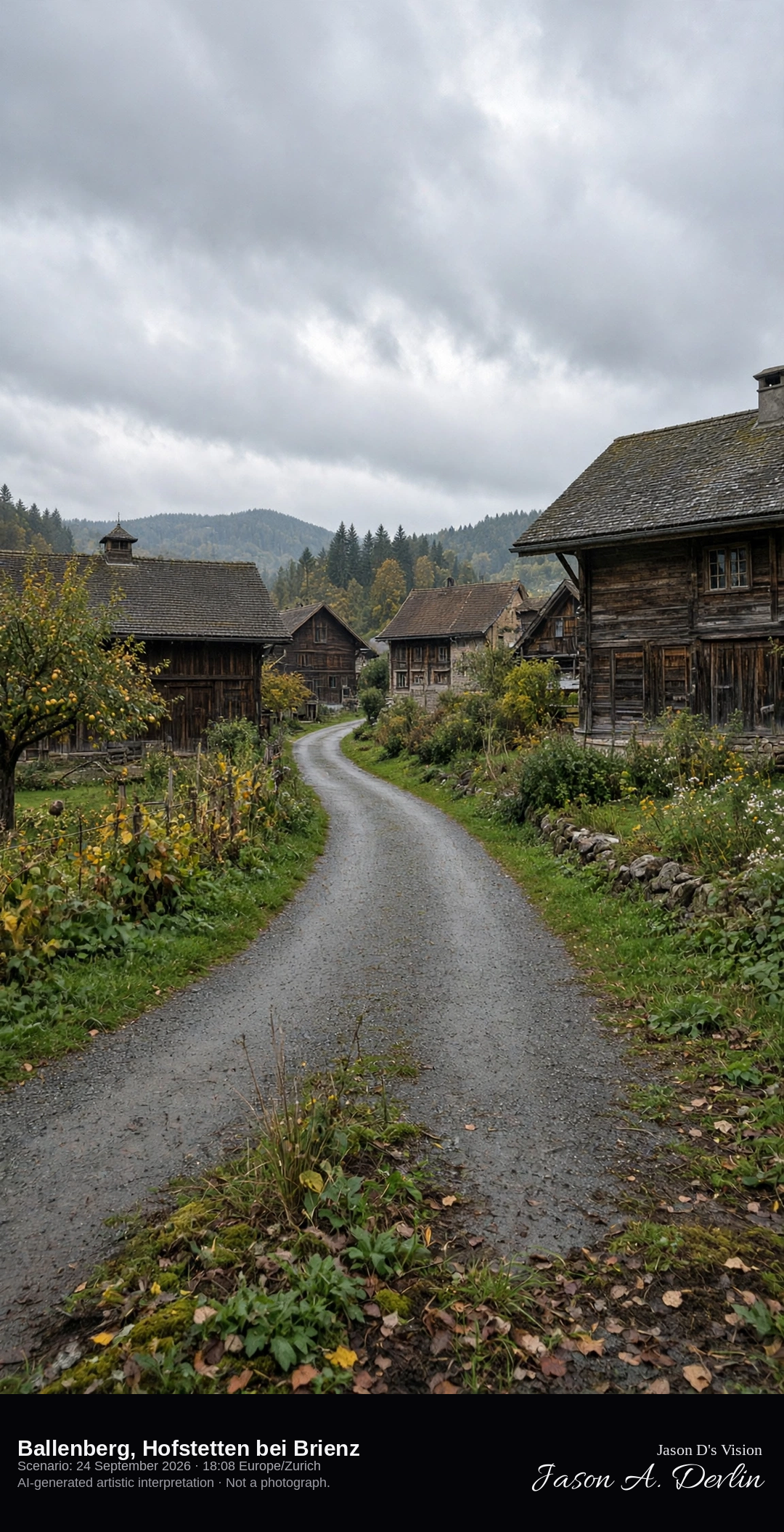
Exterior farmhouses on the Ballenberg grounds at Hofstetten bei Brienz · AI-generated artistic interpretation
Ballenberg is the open-air museum at Hofstetten bei Brienz, where historic Swiss farmhouses and barns stand on garden grounds. The frame stays outside, with closed doors, shingled roofs, and a path between the buildings. No interior exhibit is shown, and no sign is readable. The Open-Meteo model is fully overcast and mild, with no rain.
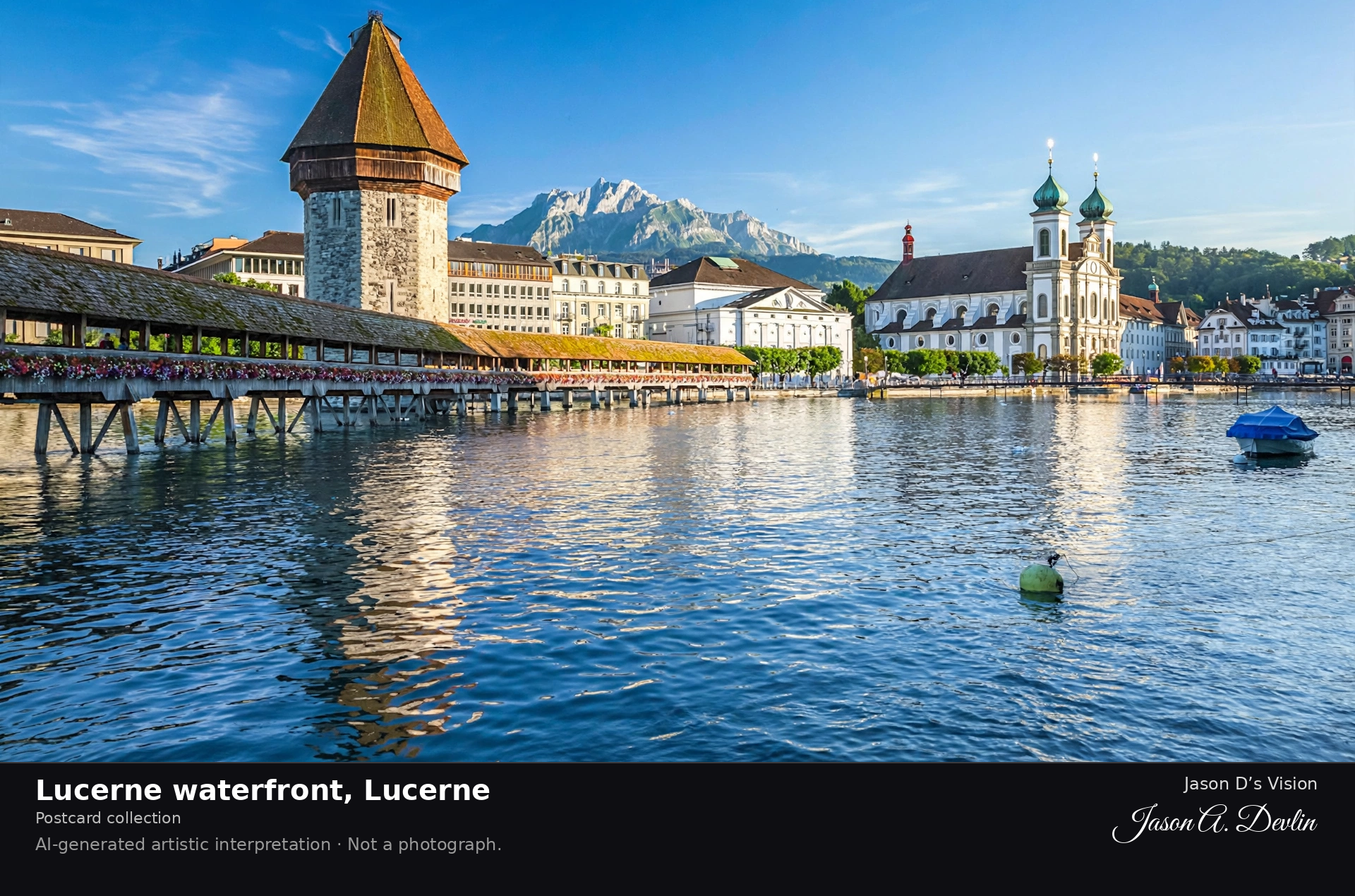
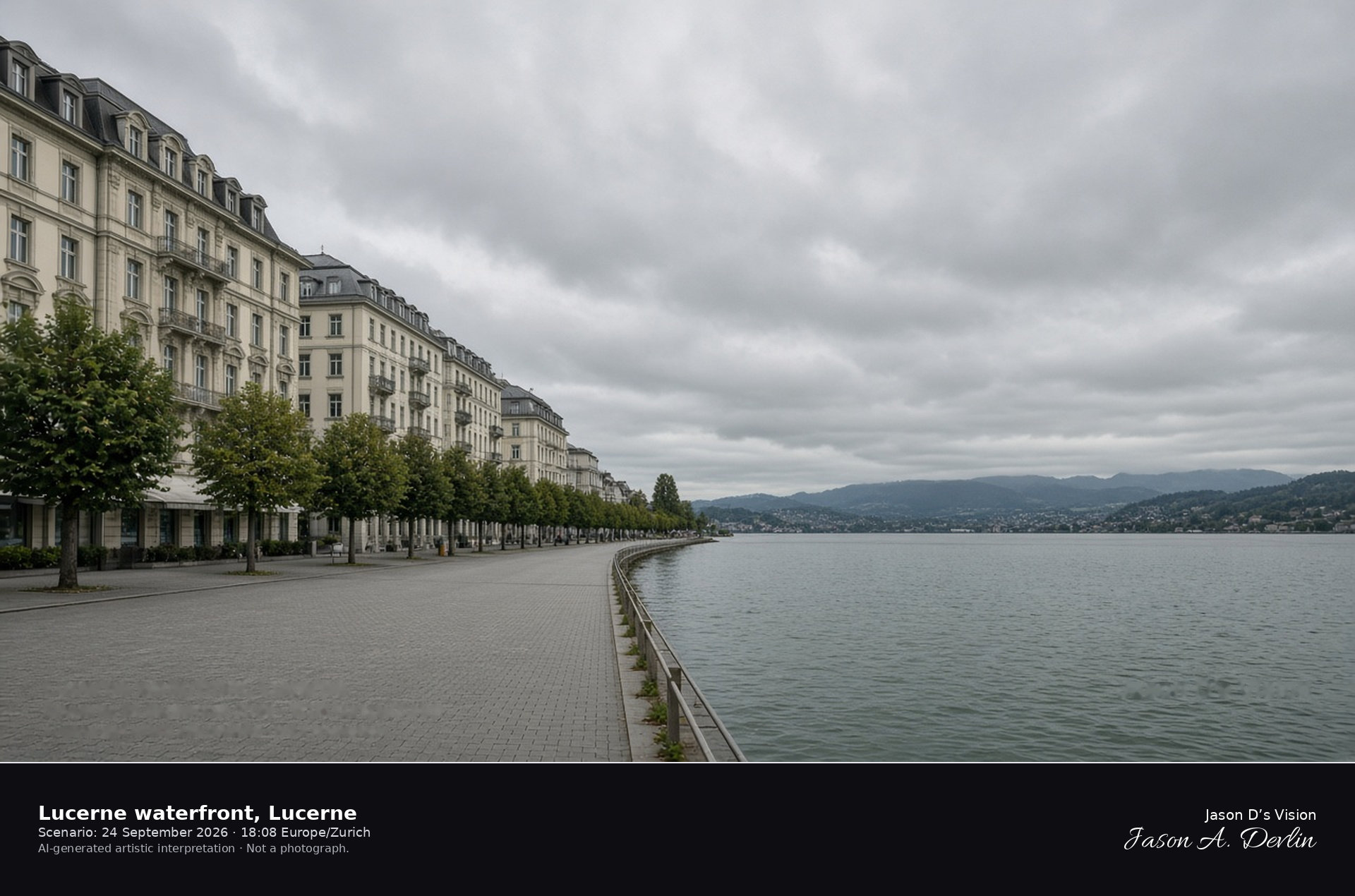
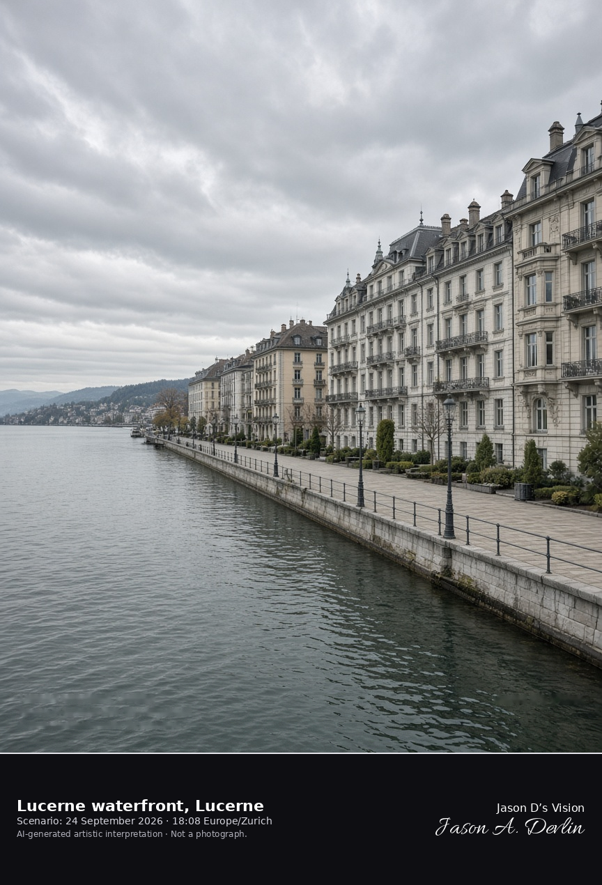
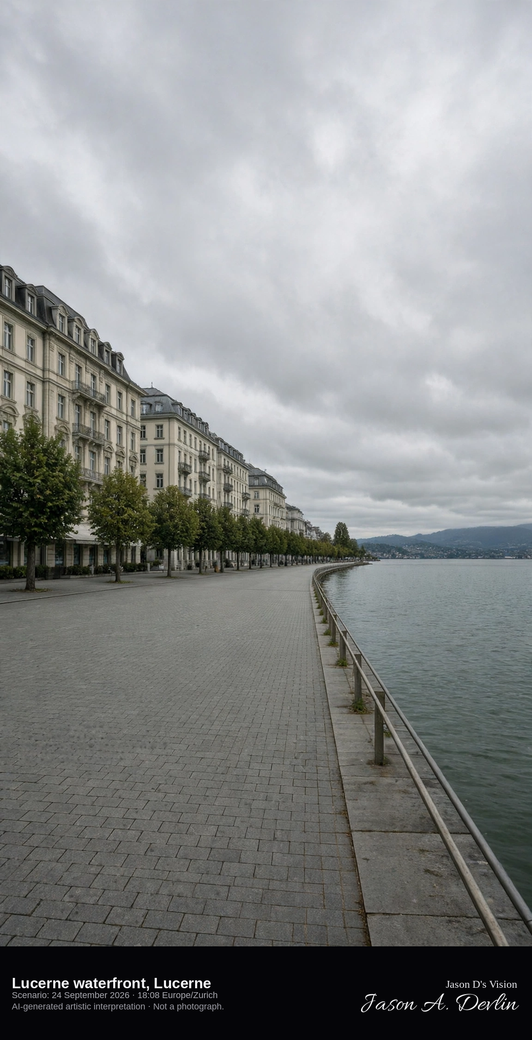
Nationalquai hotel row along the Lucerne lakeshore · AI-generated artistic interpretation
The Lucerne waterfront here is the Nationalquai, a lakeside promenade of grand hotels along the north shore of the lake. The water opens east, away from the Reuss. The Chapel Bridge and the Pilatus portrait are separate scenes and are not the subject. The Open-Meteo model is fully overcast and mild, with a light breeze and no rain.
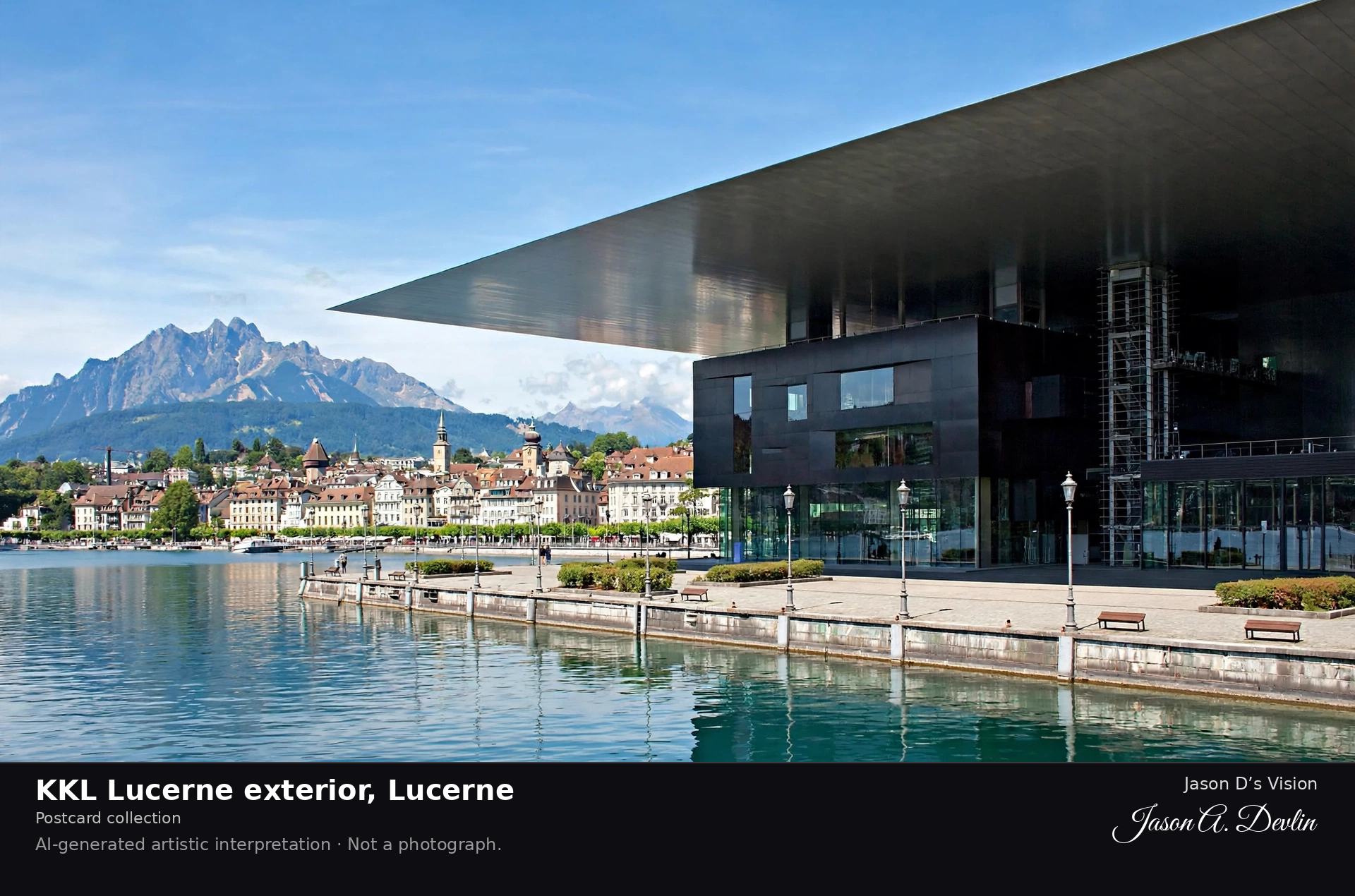
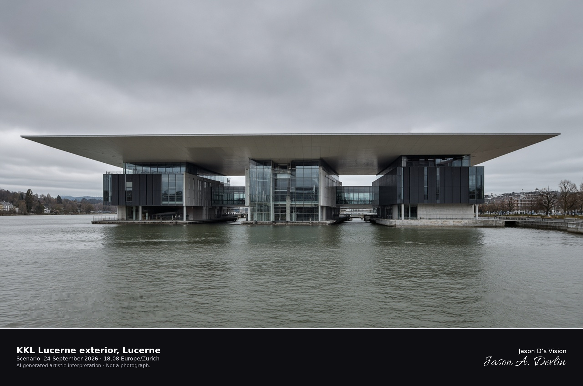
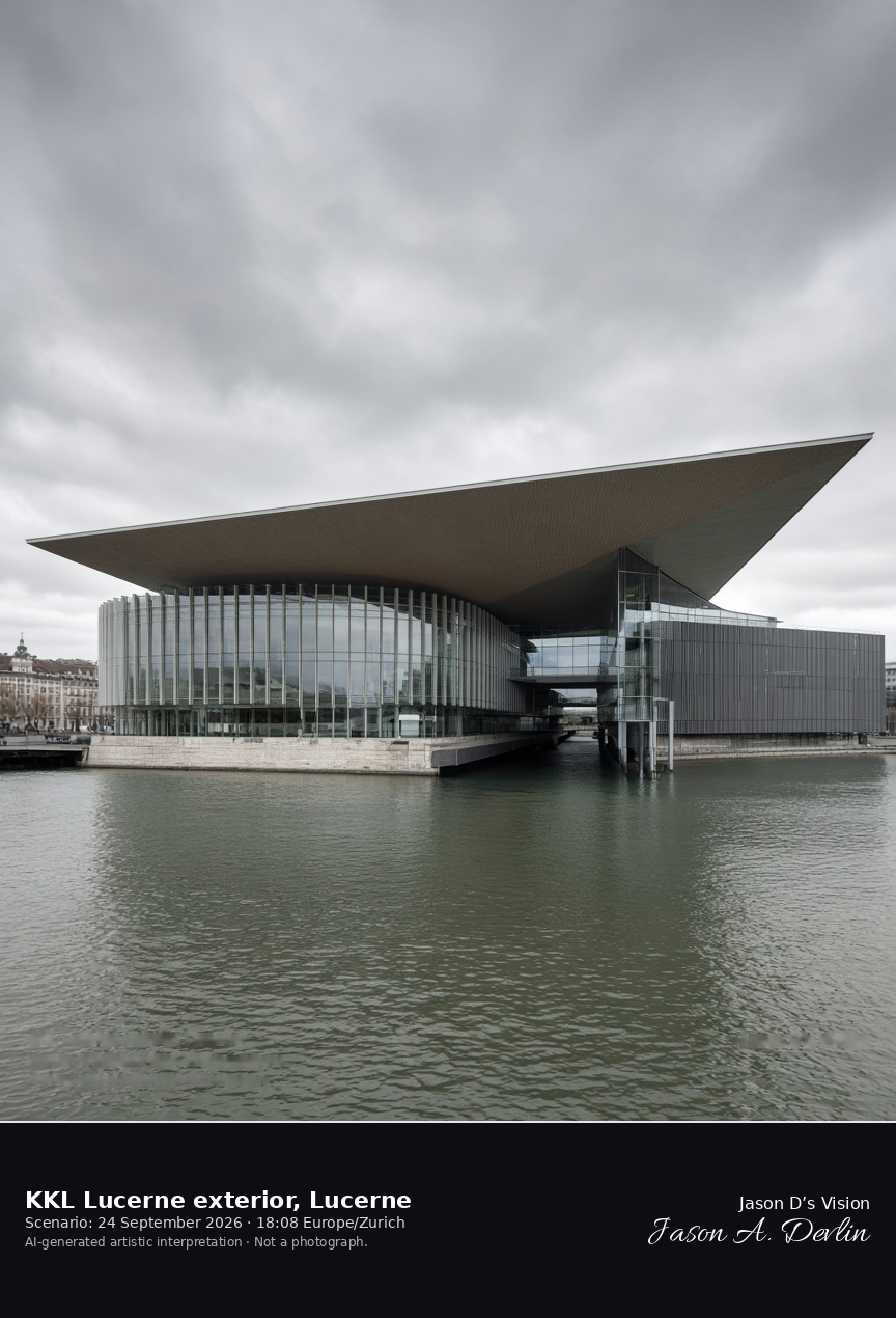
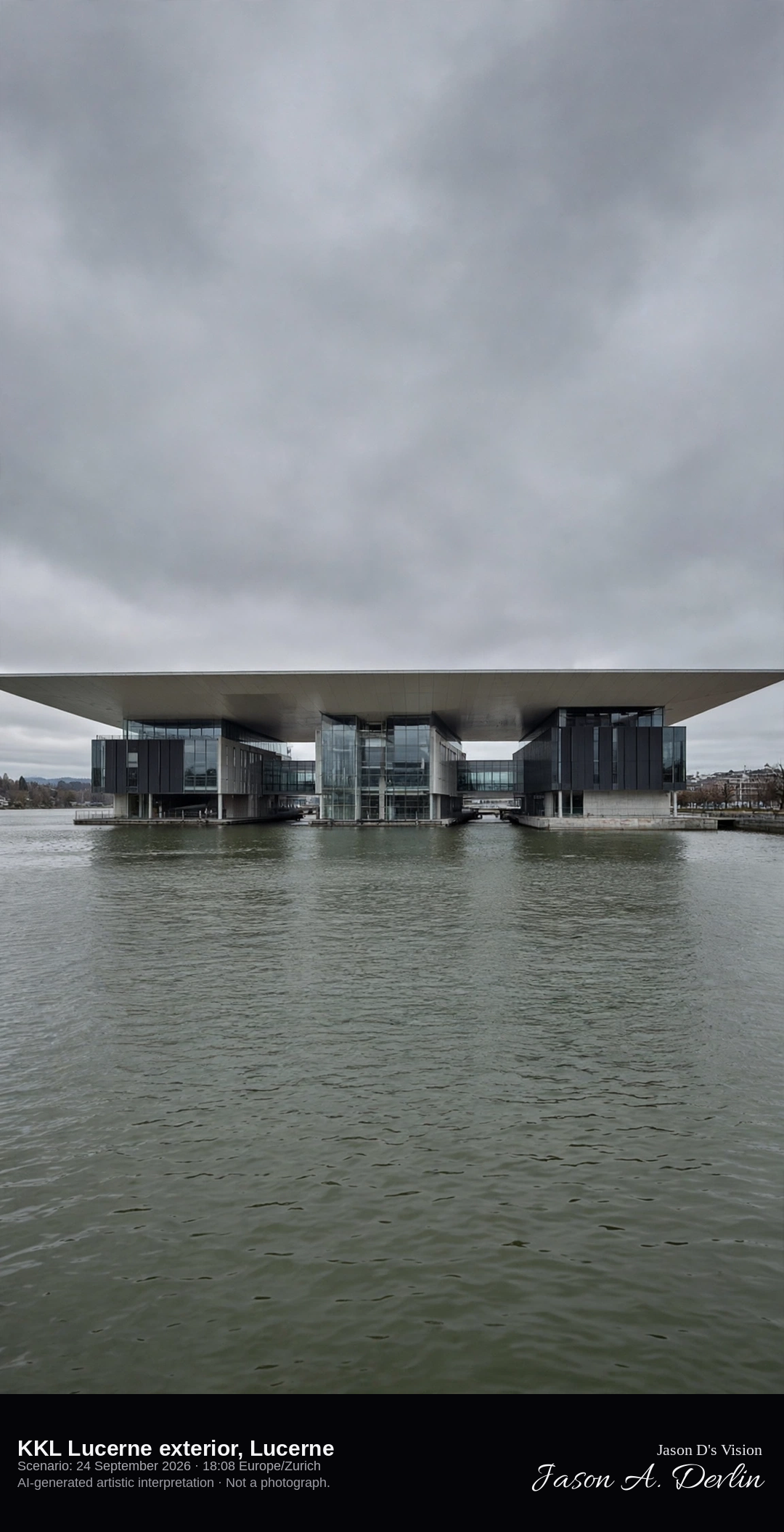
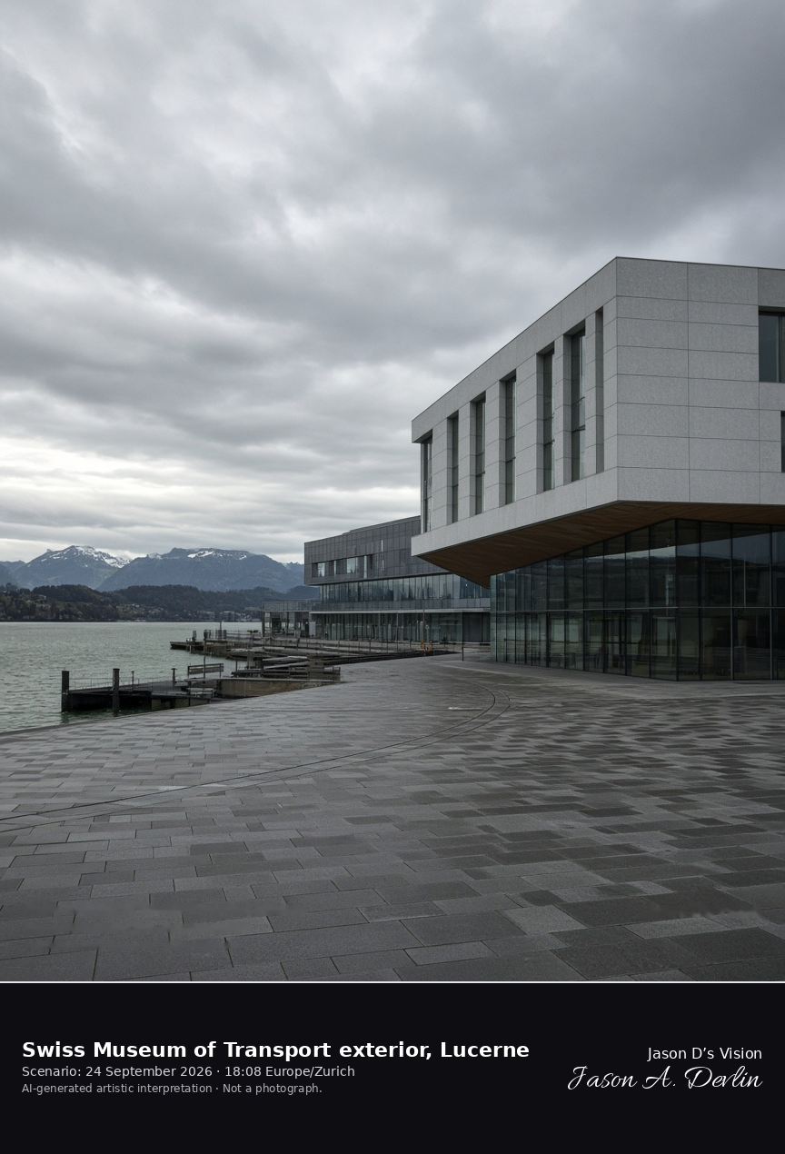
Lake side of the KKL Lucerne under its cantilevered roof · AI-generated artistic interpretation
The KKL Lucerne stands on the lake beside Europaplatz, three wings under one broad roof that reaches out over the water. Narrow channels separate the wings, and the underside of the roof reads as a pale reflective plane. Only the exterior is shown. The Open-Meteo model is fully overcast and mild, with a light breeze and no rain.
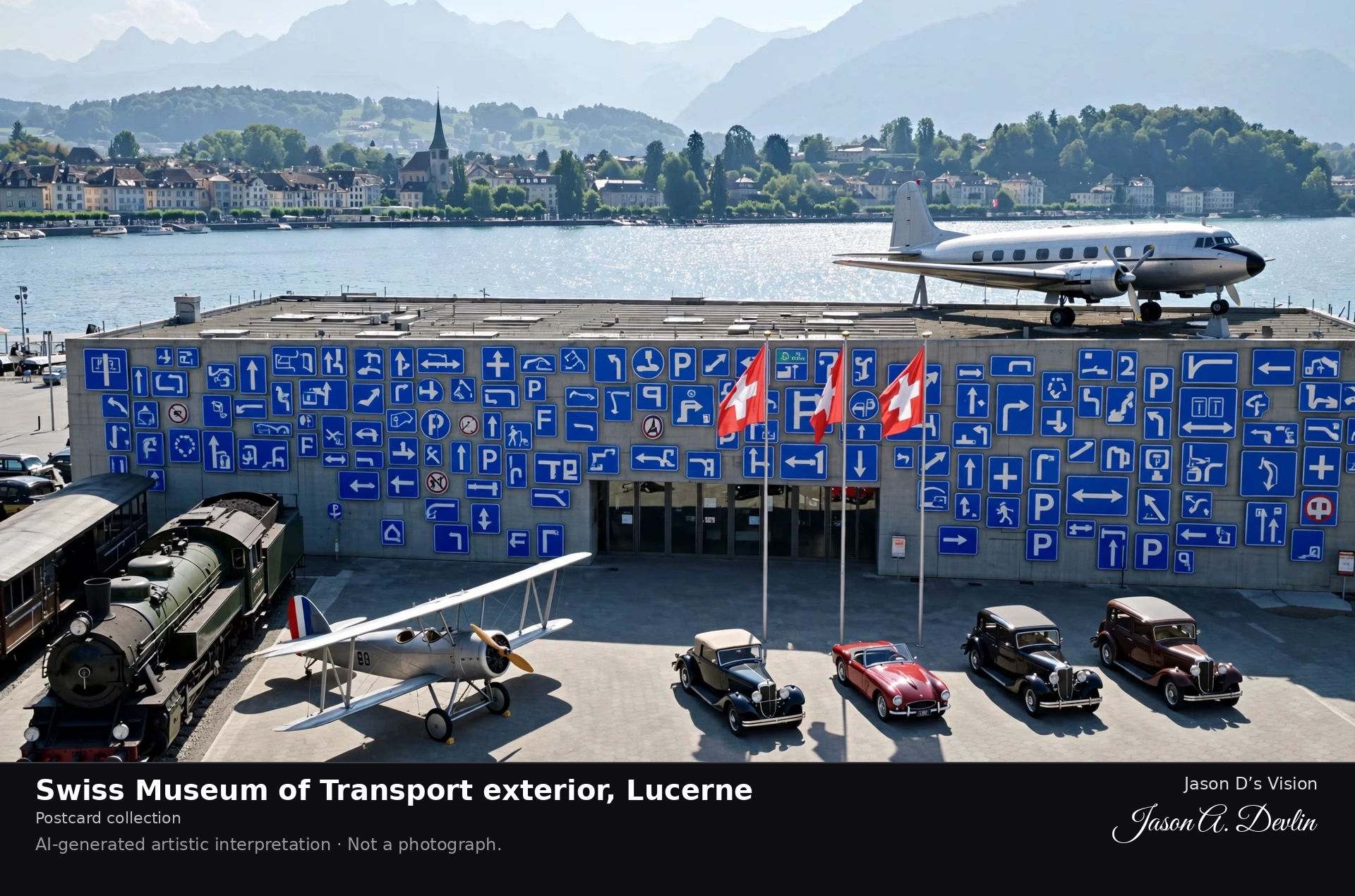
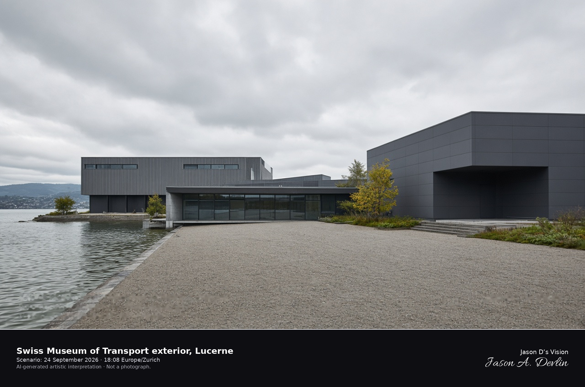
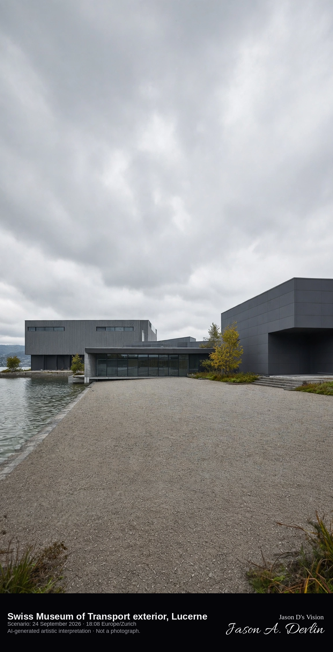
Exterior courtyard of the Swiss Museum of Transport beside Lake Lucerne · AI-generated artistic interpretation
The Swiss Museum of Transport occupies the lido ground east of Lucerne, and this frame stays on the exterior plaza. Halls and a bridge-like entrance surround an open courtyard, with the lake along the site. No gallery interior is shown, and no sign or logo is readable. The Open-Meteo model is fully overcast and mild, with a light breeze and no rain.
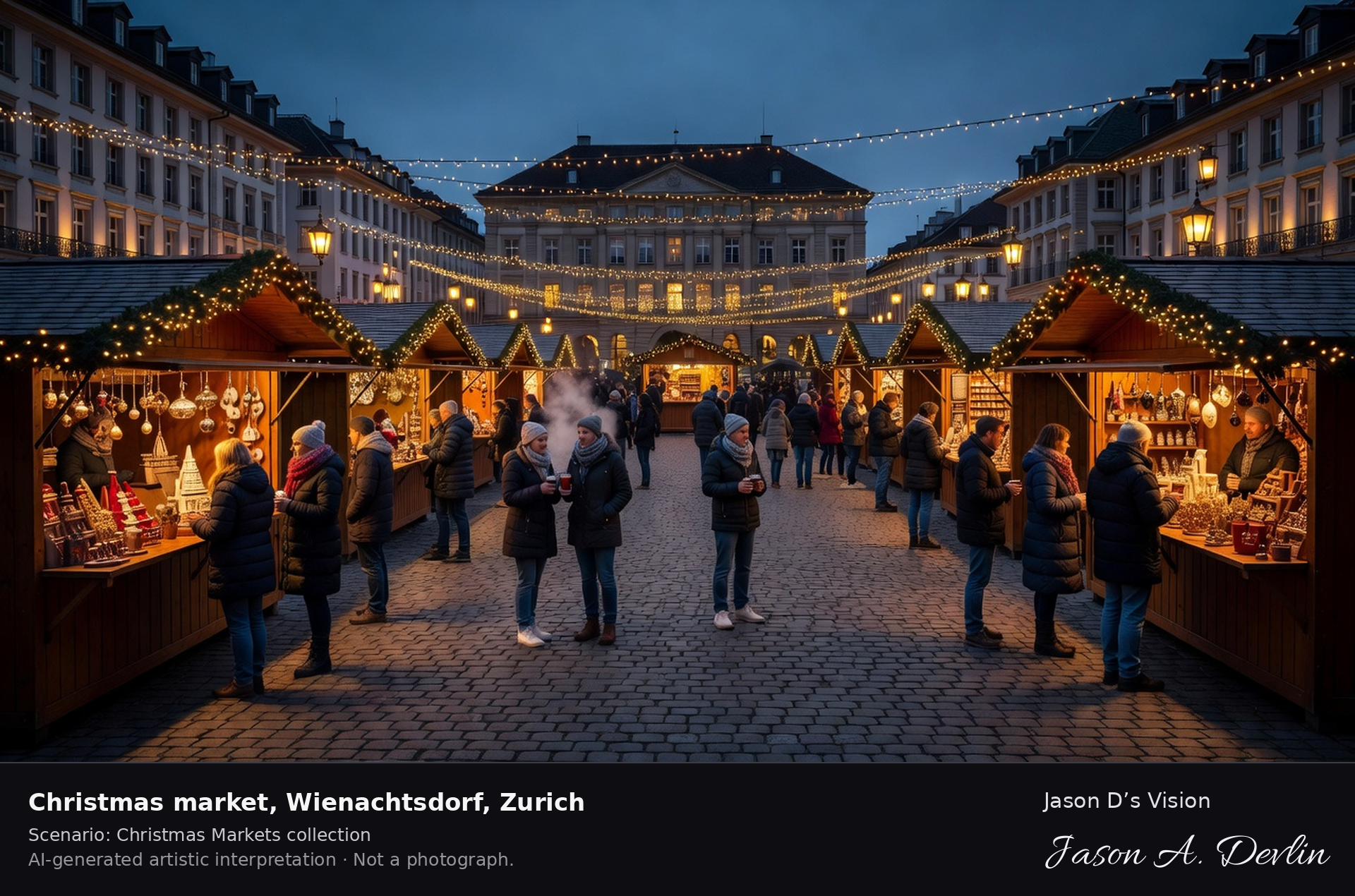
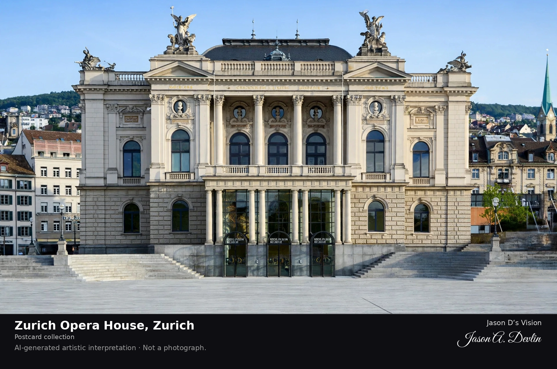
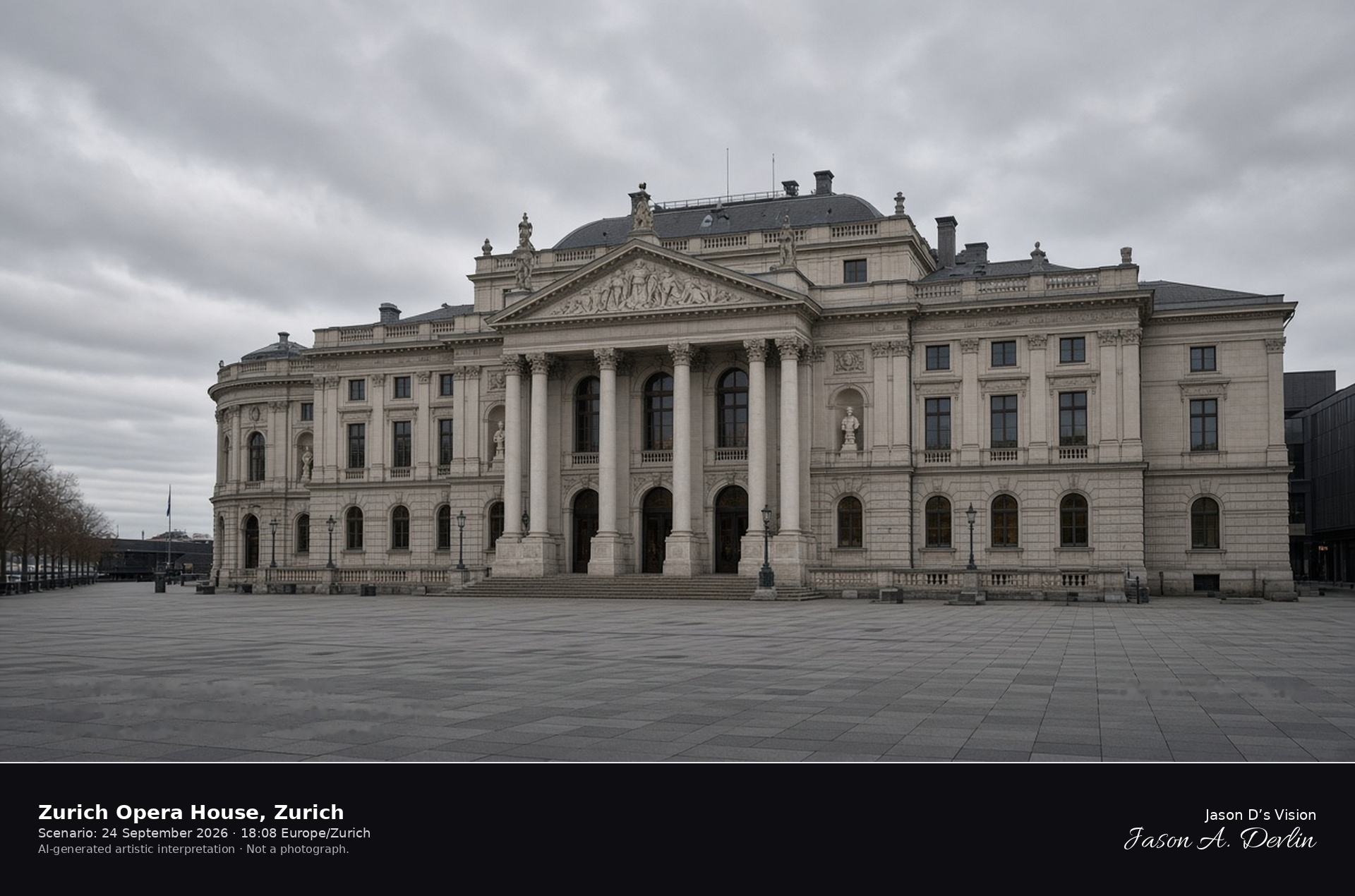
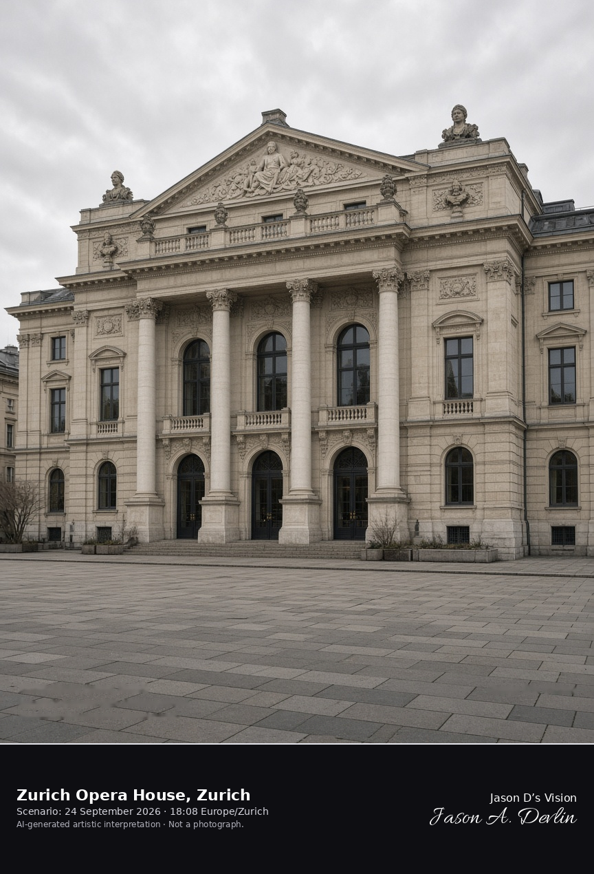
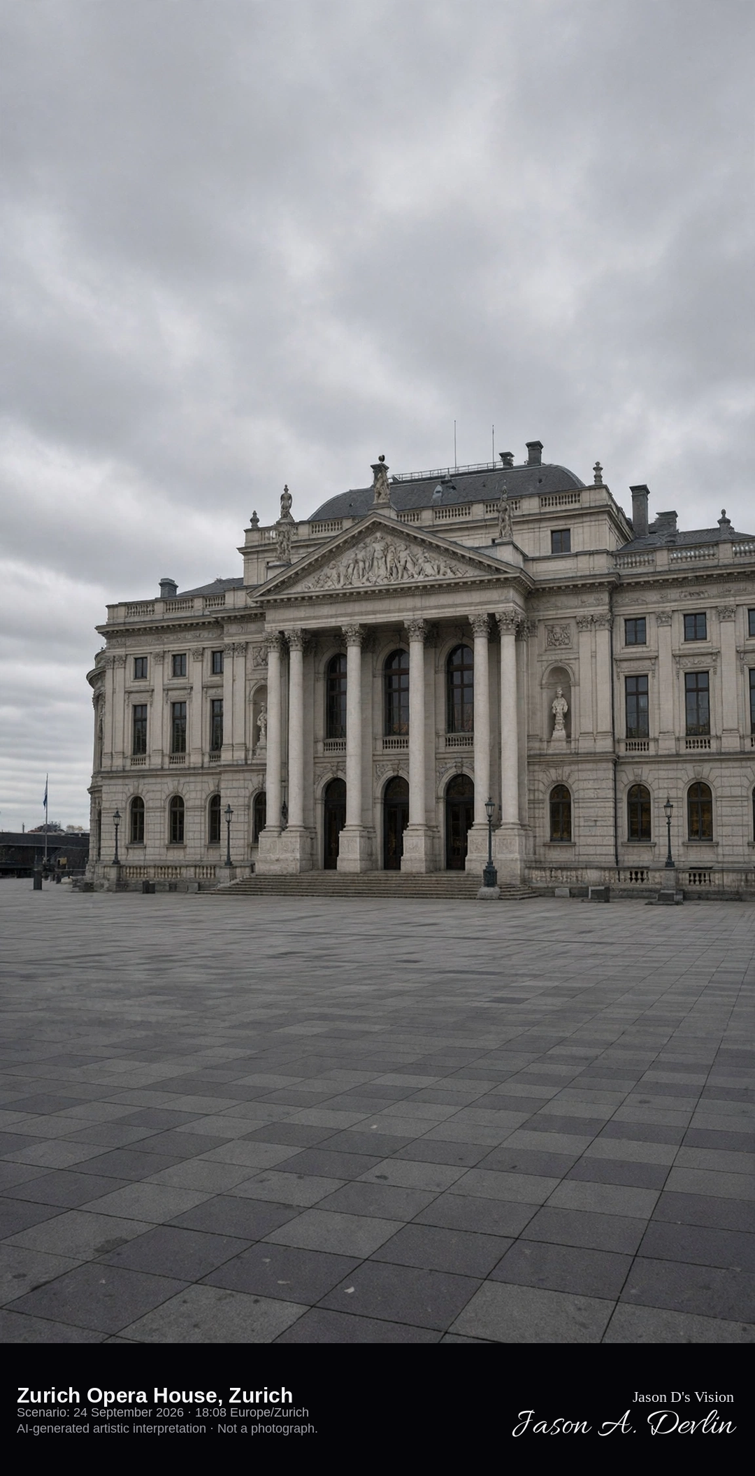
Sechseläutenplatz looking at the Zurich Opera House facade · AI-generated artistic interpretation
The Zurich Opera House faces Sechseläutenplatz with the 1891 stone facade by Fellner and Helmer, columns, a sculpted pediment, and busts along the front. The square in front is open, and the auditorium stays out of frame. No poster is readable. The Open-Meteo model is fully overcast and mild, with a breeze and no rain.
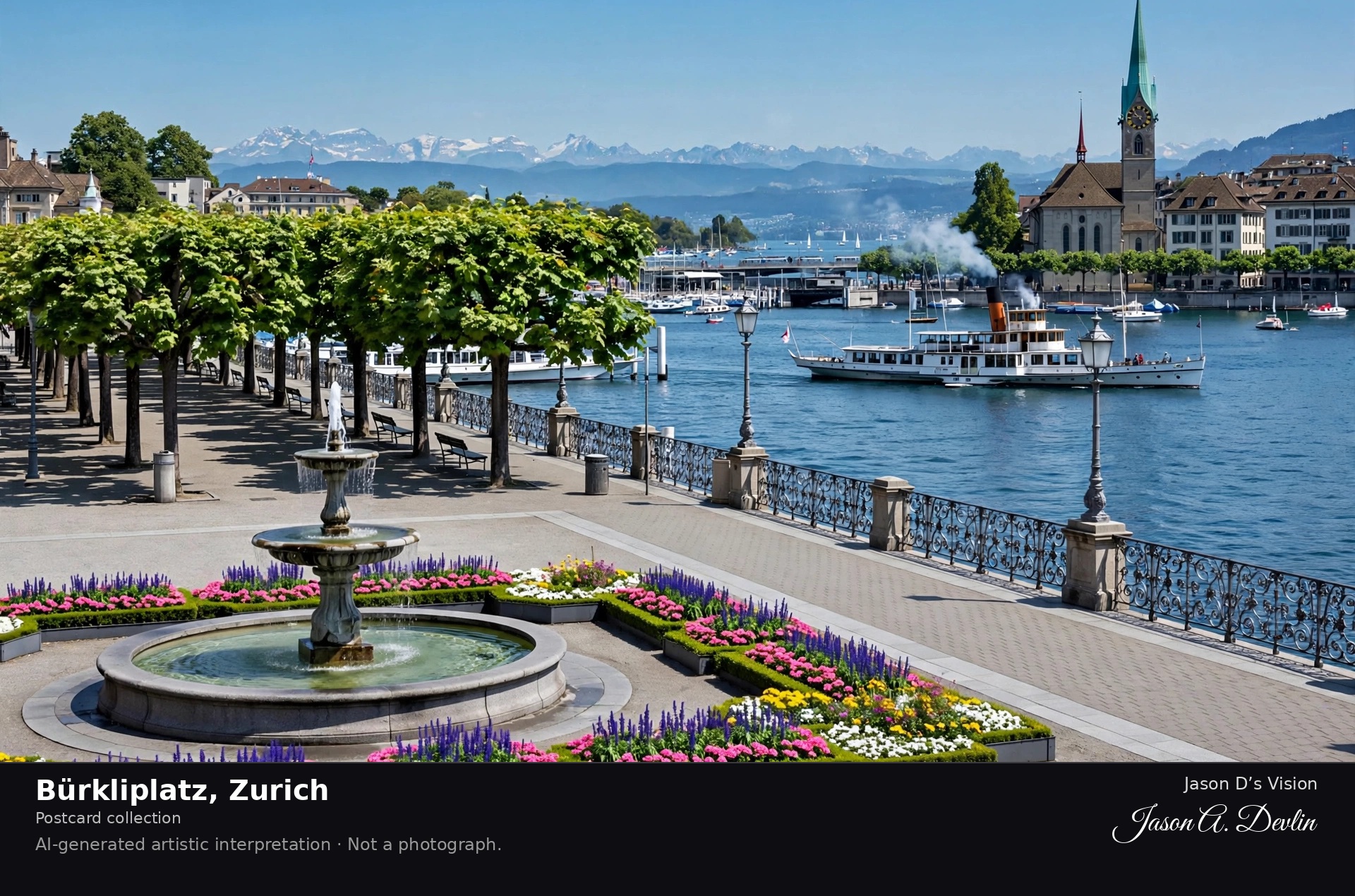
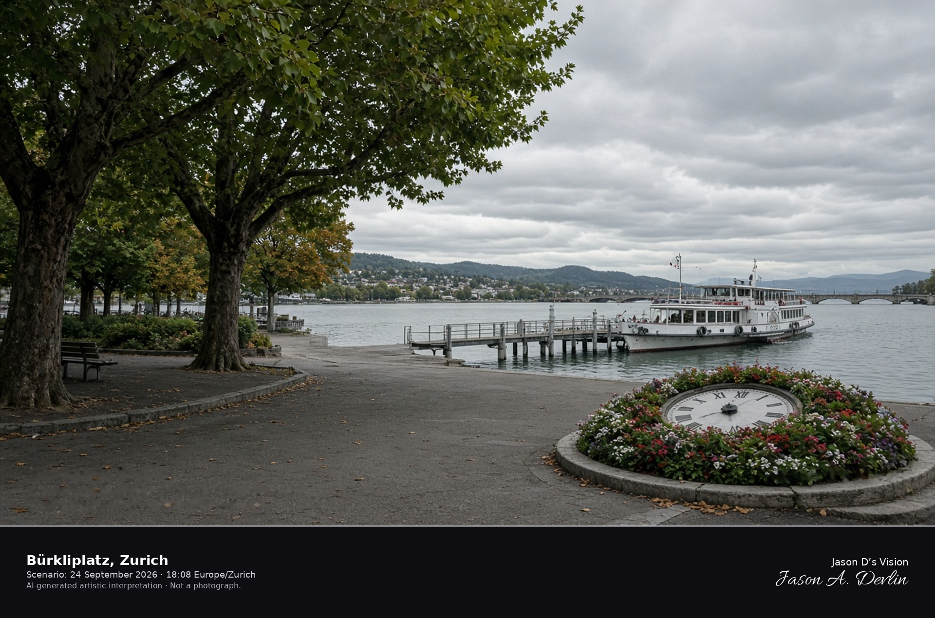
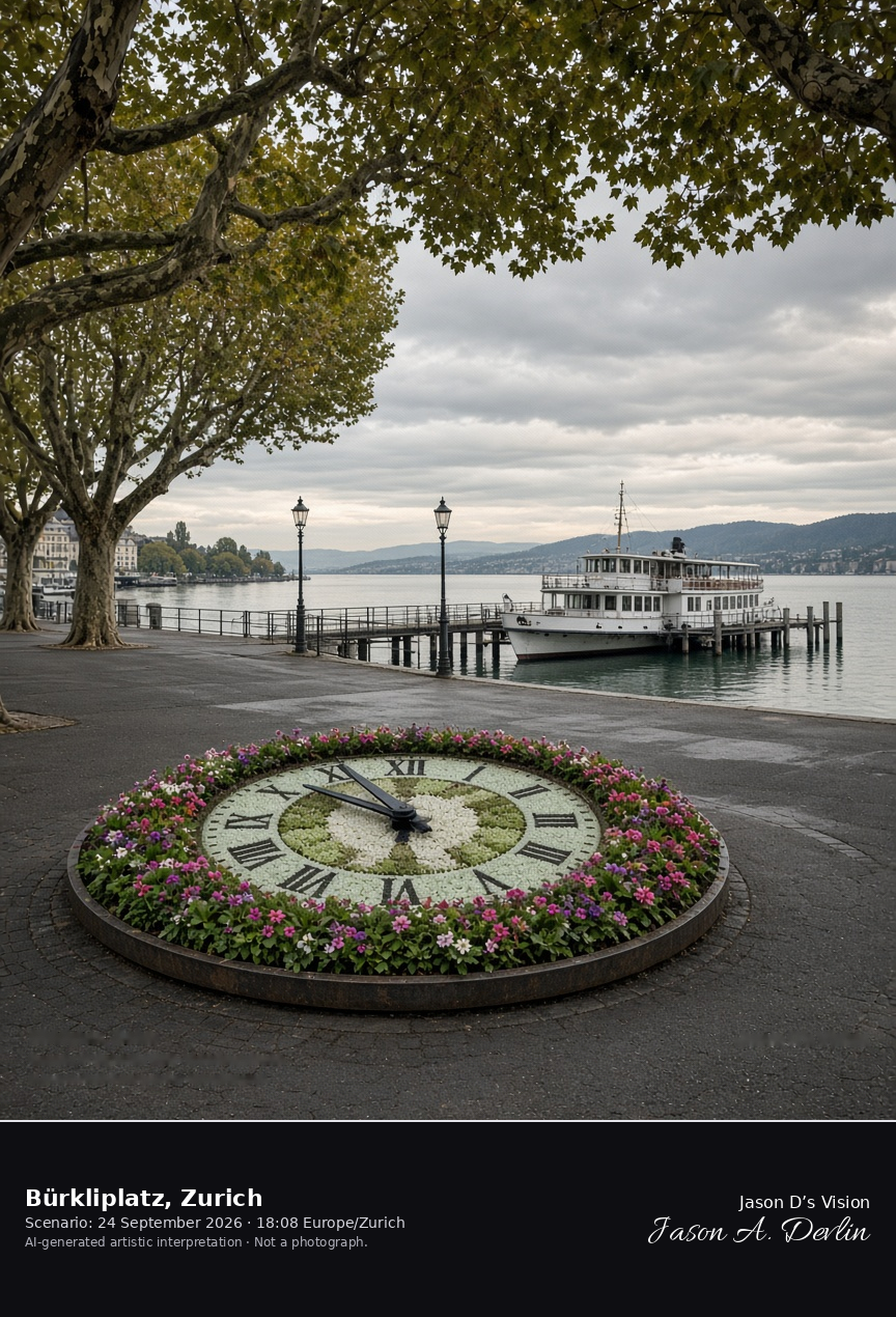
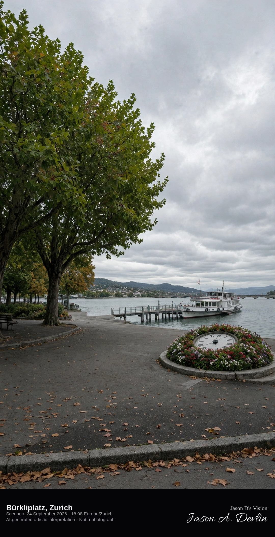
Bürkliplatz and the steamer quay at the outlet of Lake Zurich · AI-generated artistic interpretation
Bürkliplatz is the tree-shaded square where Lake Zurich narrows toward the Limmat, with the steamer quay on the water and a round floral clock. The Quaibrücke stays at the edge of the frame. This is the lake square, not Bahnhofstrasse and not the Limmatquai. The Open-Meteo model is fully overcast and mild, with a breeze and no rain.
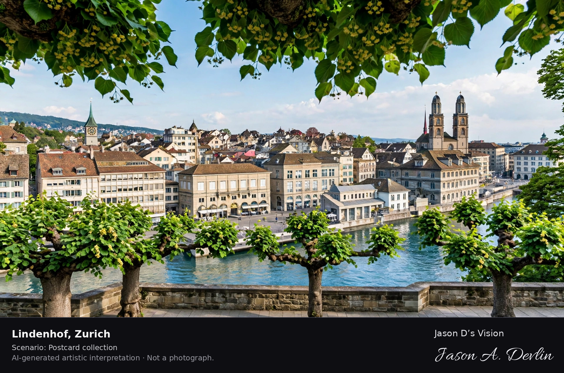
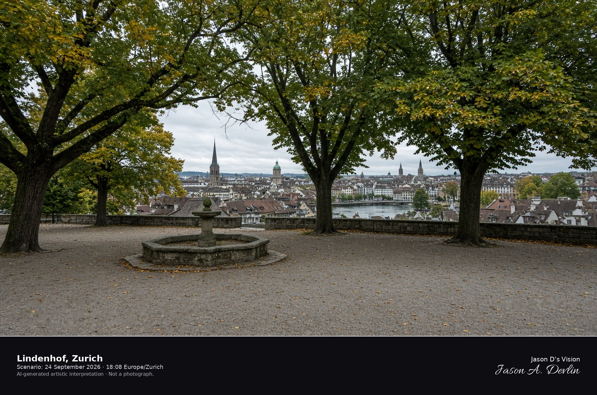
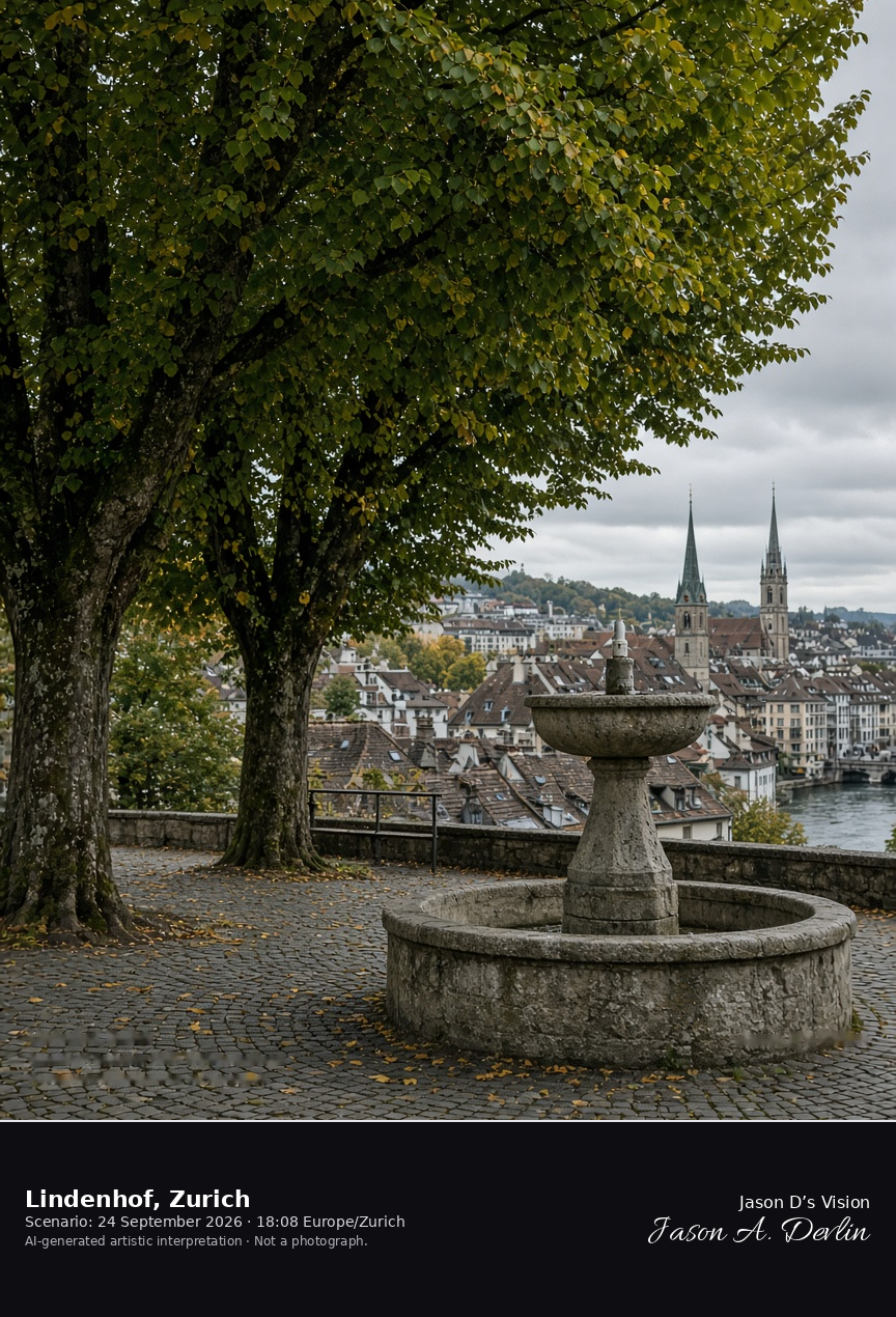
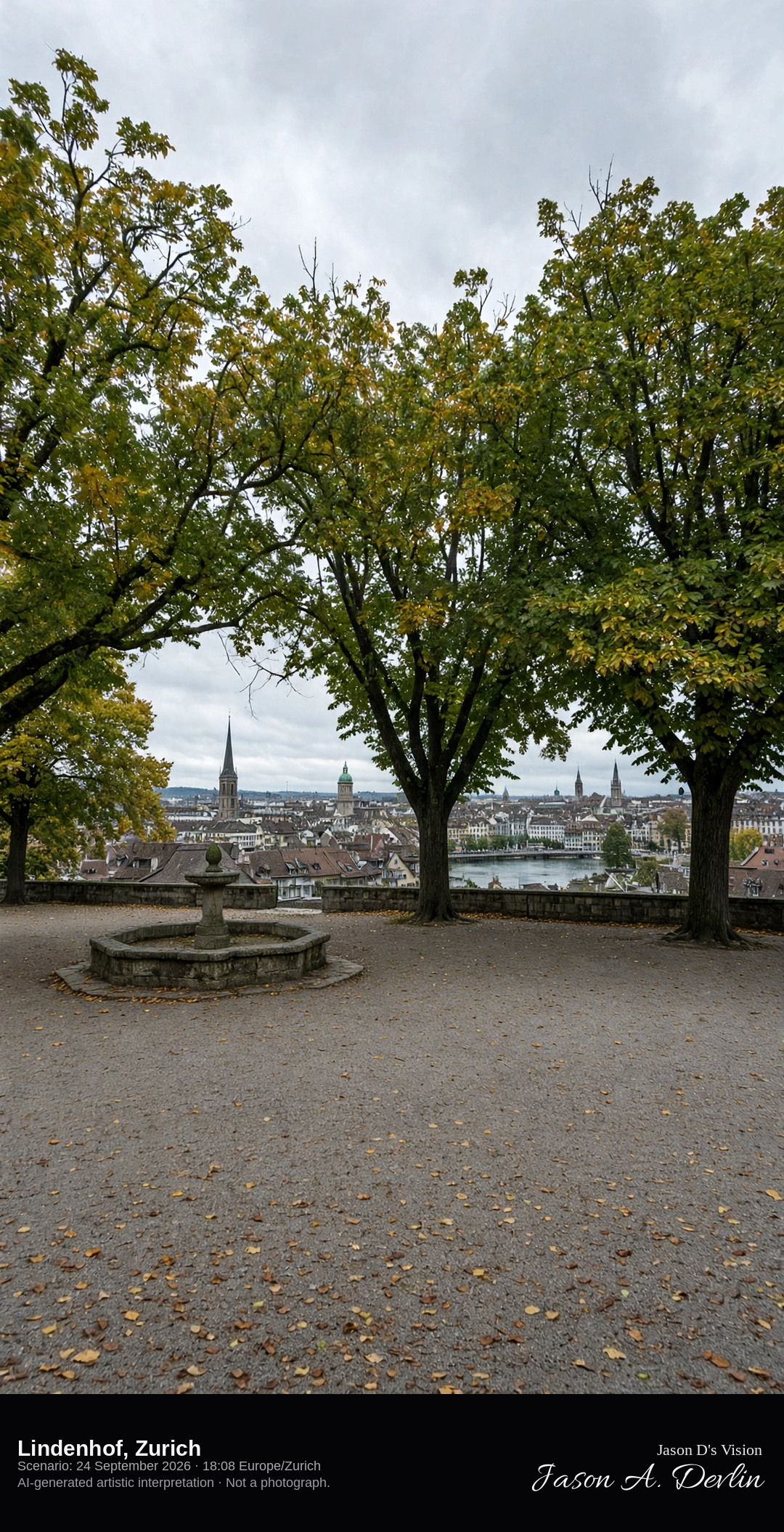
Lindenhof terrace of lime trees above the Limmat in Zurich · AI-generated artistic interpretation
The Lindenhof is the public terrace on Zurich’s moraine hill, a gravel square under large lime trees with a stone fountain. Roofs drop toward the Limmat, and no castle remains on the hill. The church fronts on the far bank are a separate scene. The Open-Meteo model is fully overcast and mild, with a breeze and no rain.
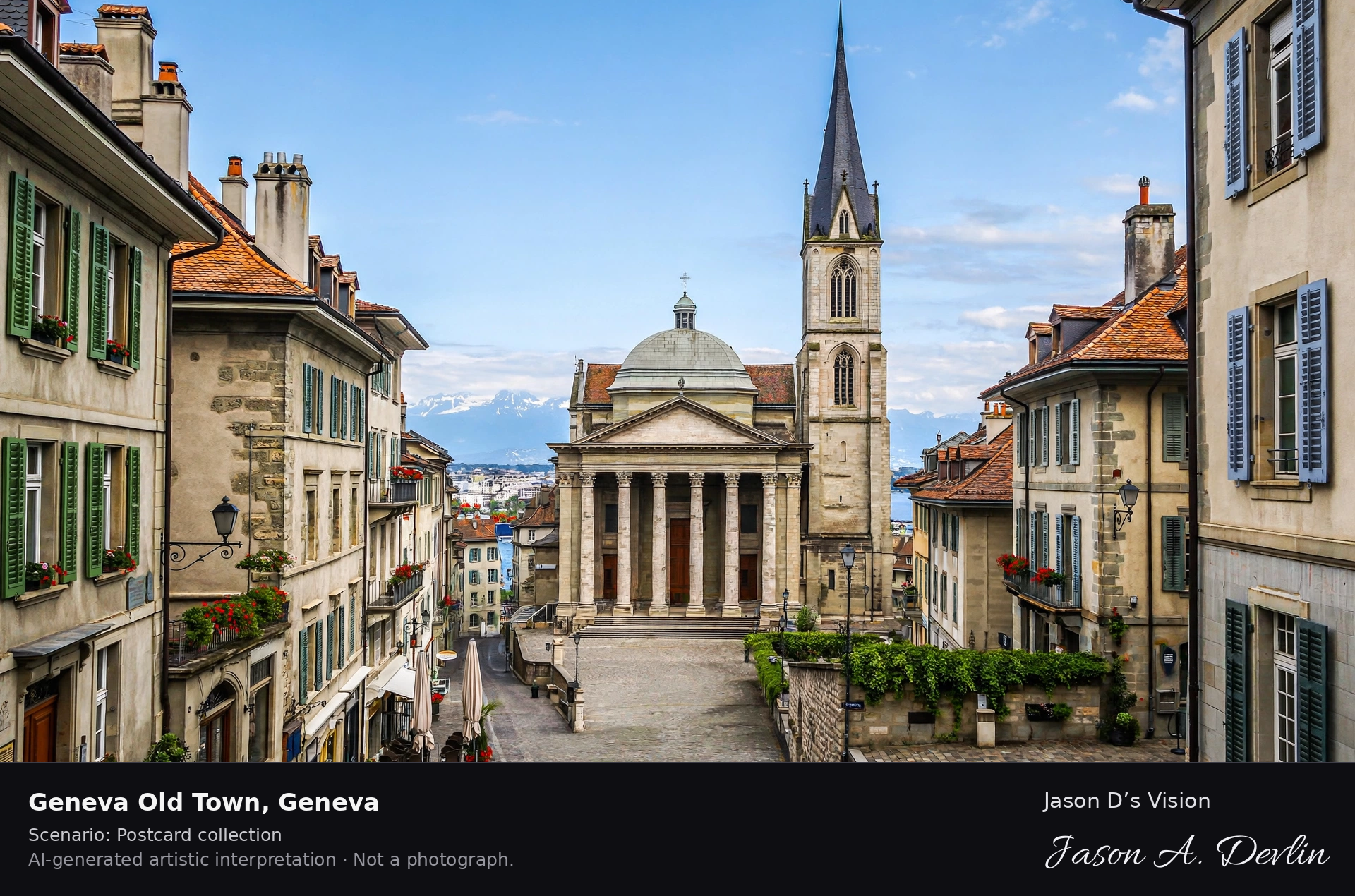
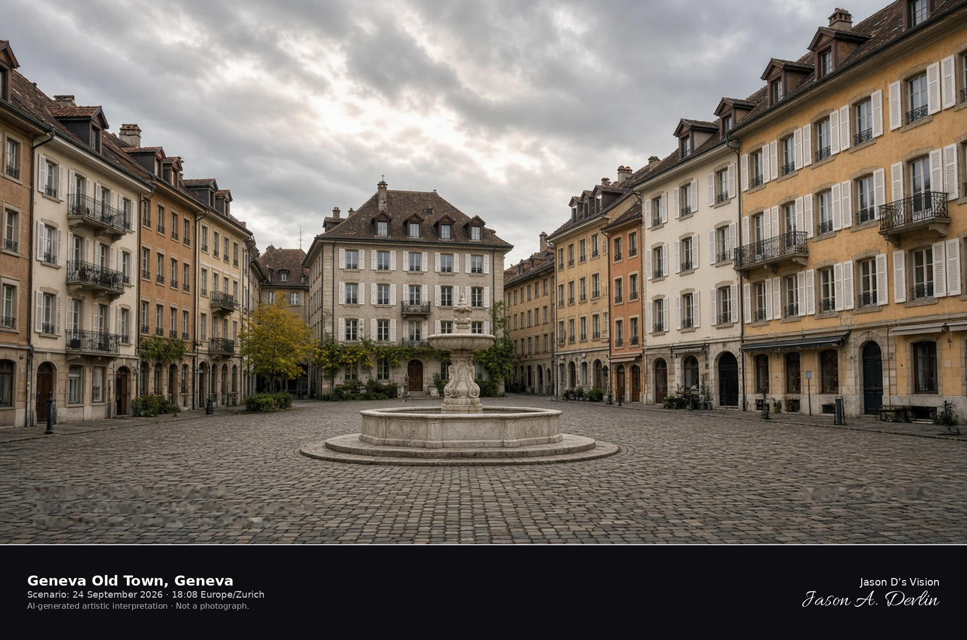
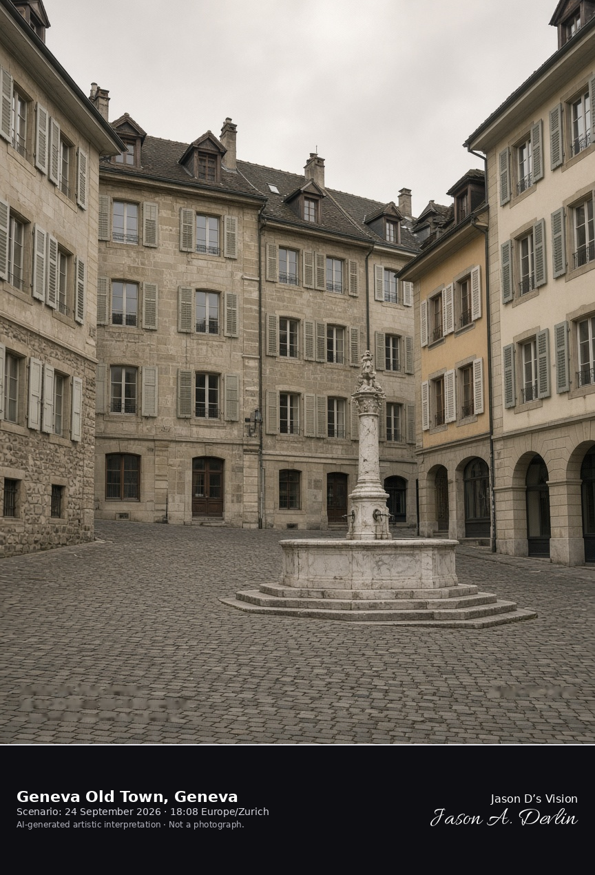
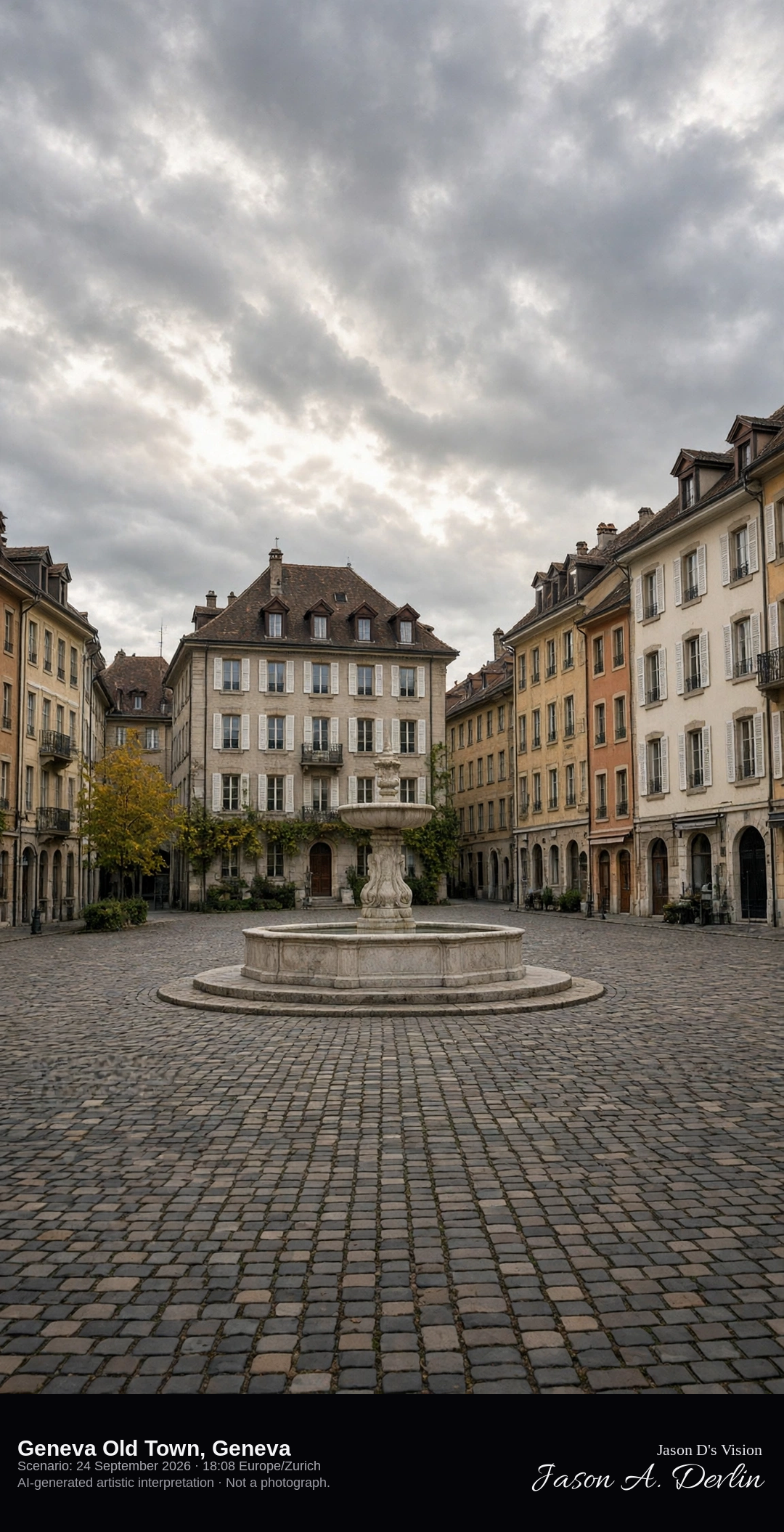
Place du Bourg-de-Four in the Geneva old town · AI-generated artistic interpretation
Geneva Old Town here is Place du Bourg-de-Four, a sloping cobblestone square with a small eighteenth-century marble fountain and shuttered facades. The square sits near the cathedral hill, but the cathedral front is not the subject. The Jet d'Eau and Carouge are other scenes. The Open-Meteo model is overcast and warm, with no rain.
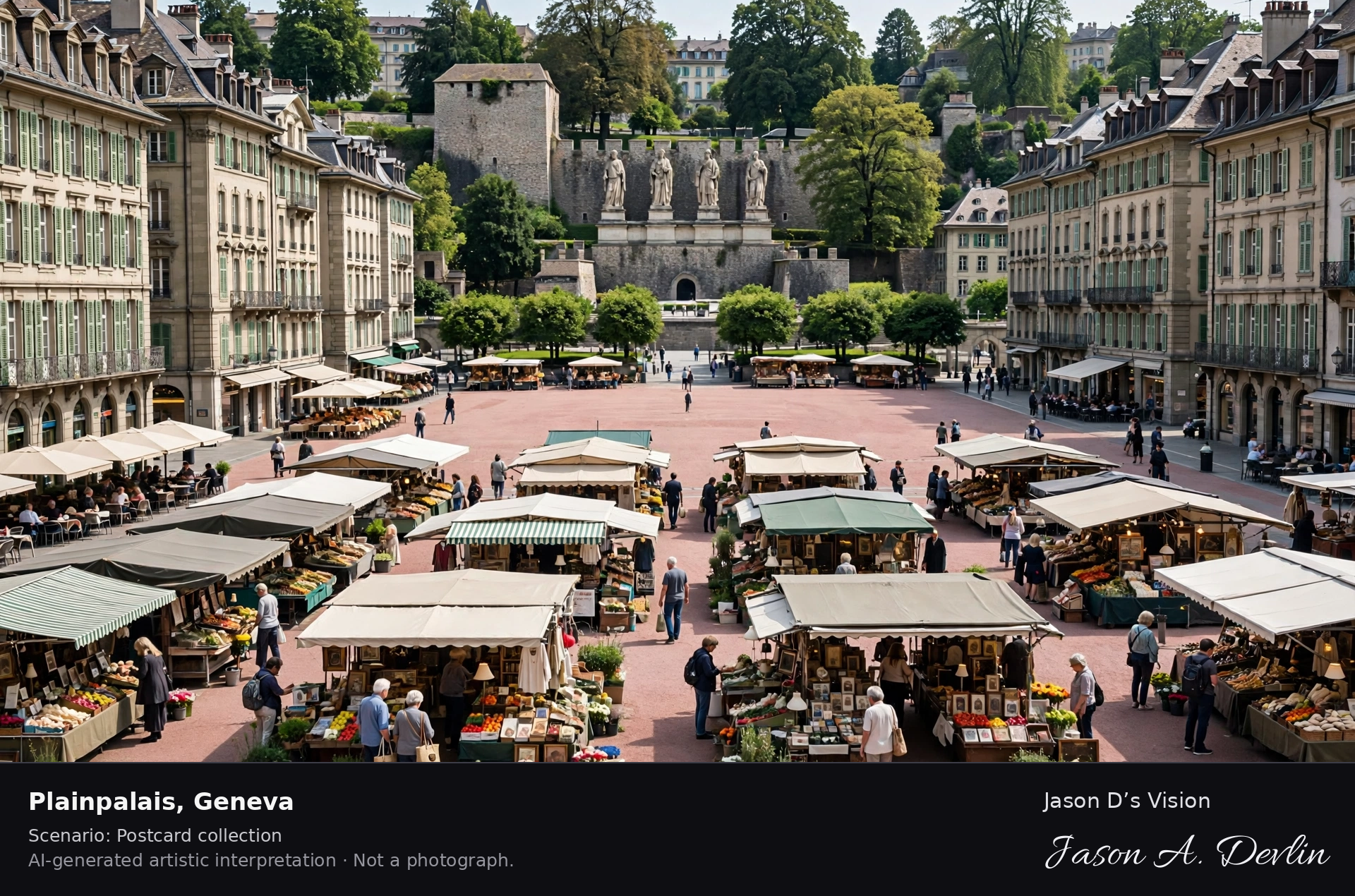
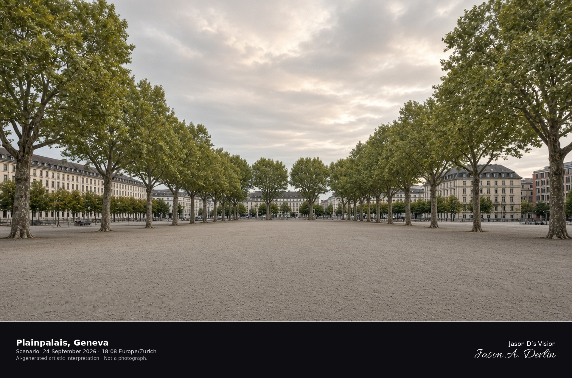
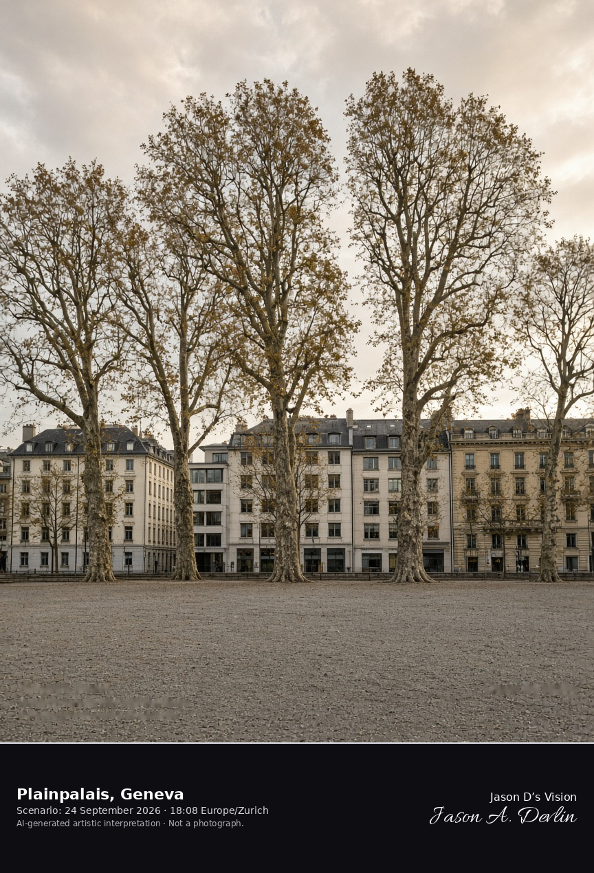
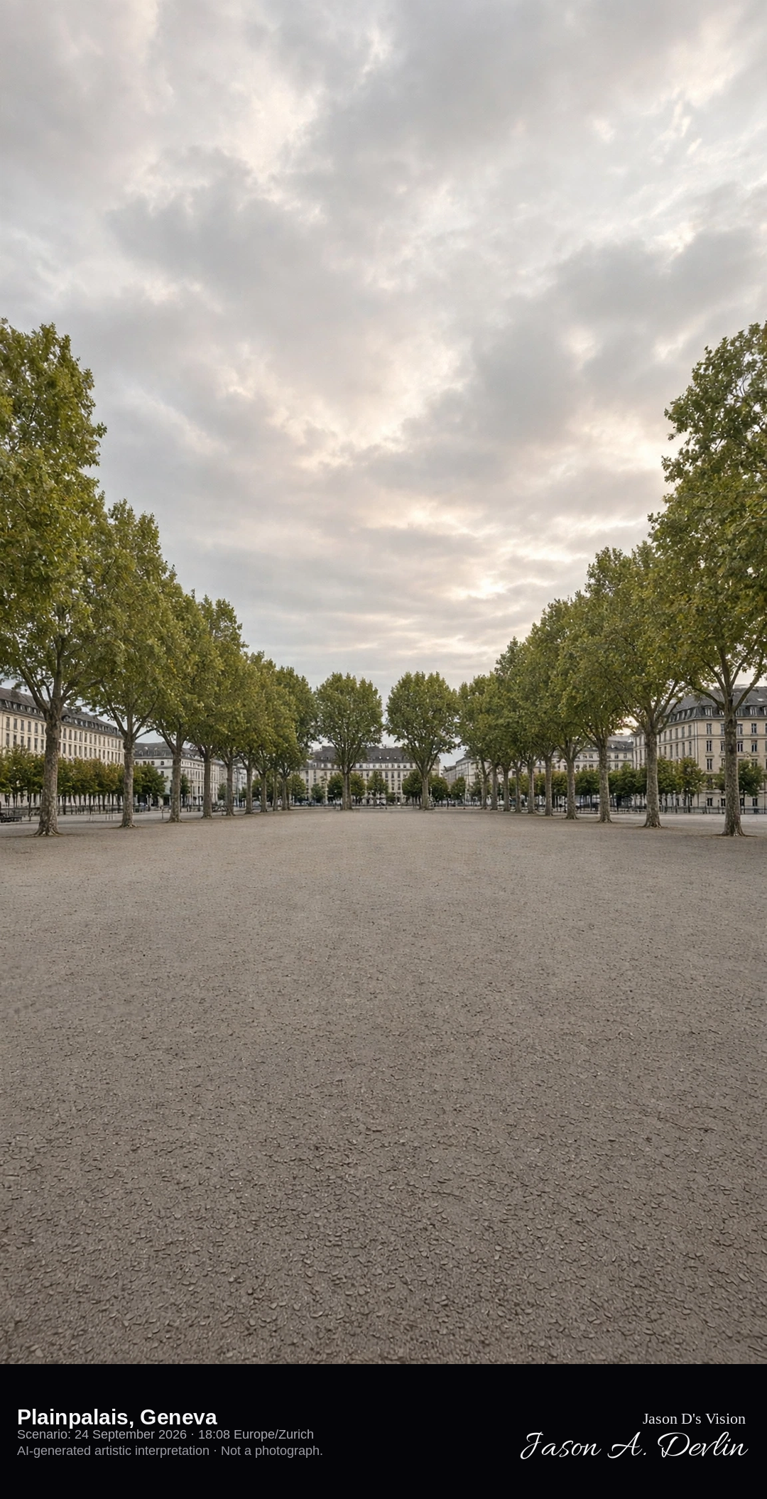
The gravel esplanade and plane trees of the Plaine de Plainpalais · AI-generated artistic interpretation
Plainpalais is the broad gravel esplanade in Geneva, planted with plane trees and edged by university and city blocks. The ground is open and inland, with no lake in the frame. It is not the old-town square and not Carouge. The Open-Meteo model is overcast and warm, with no rain.
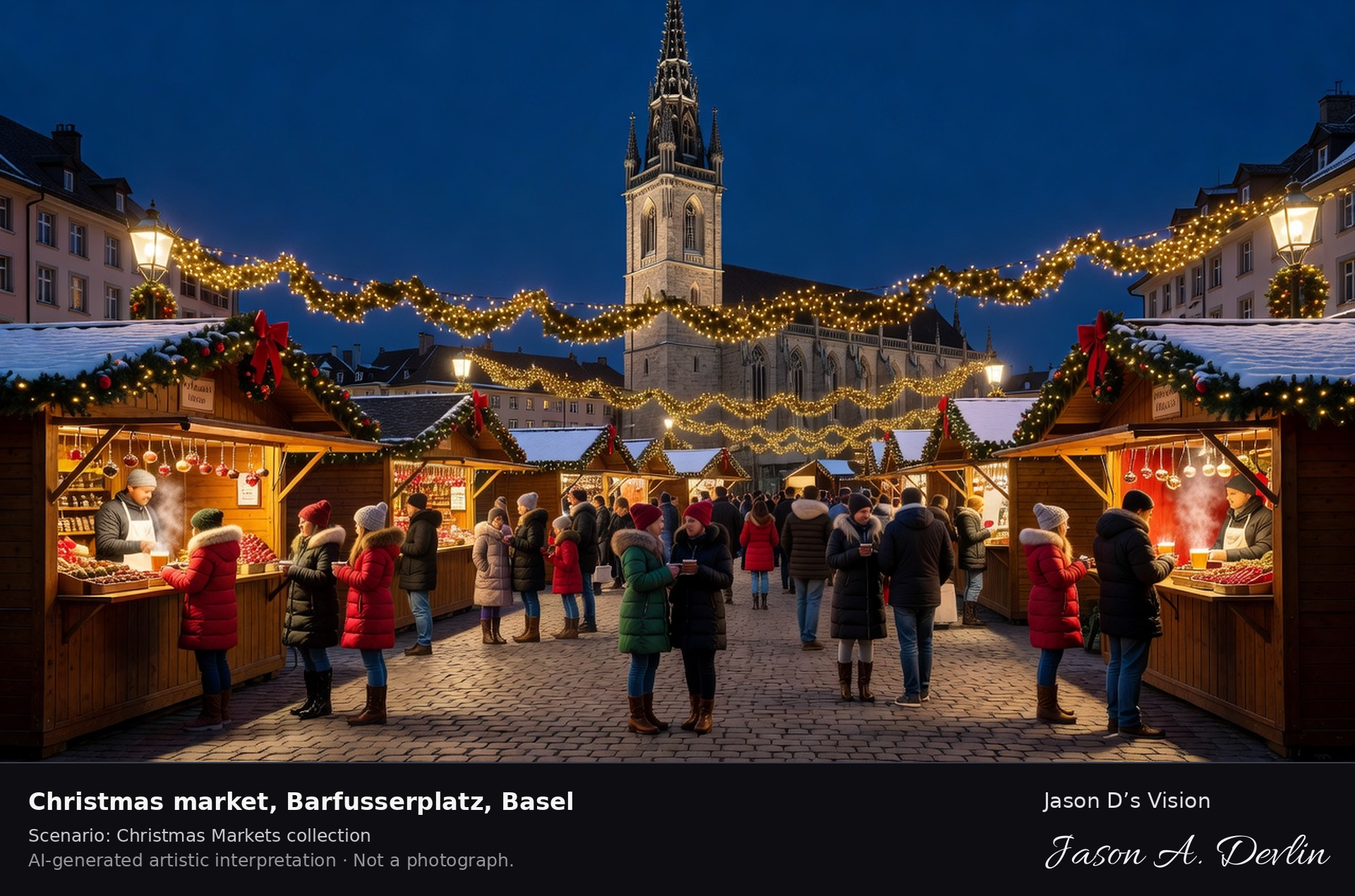
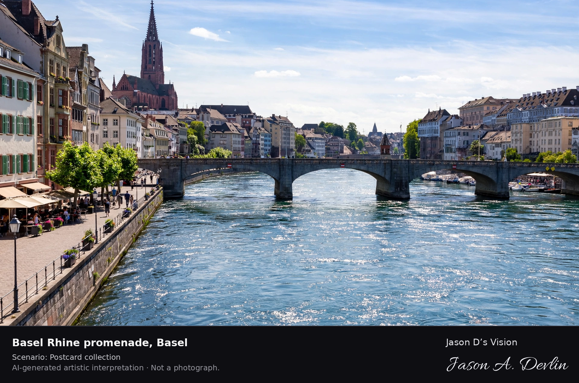
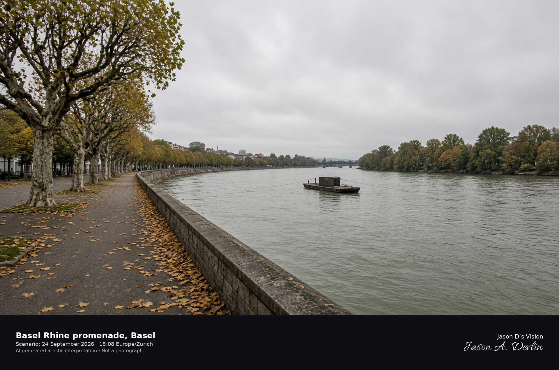
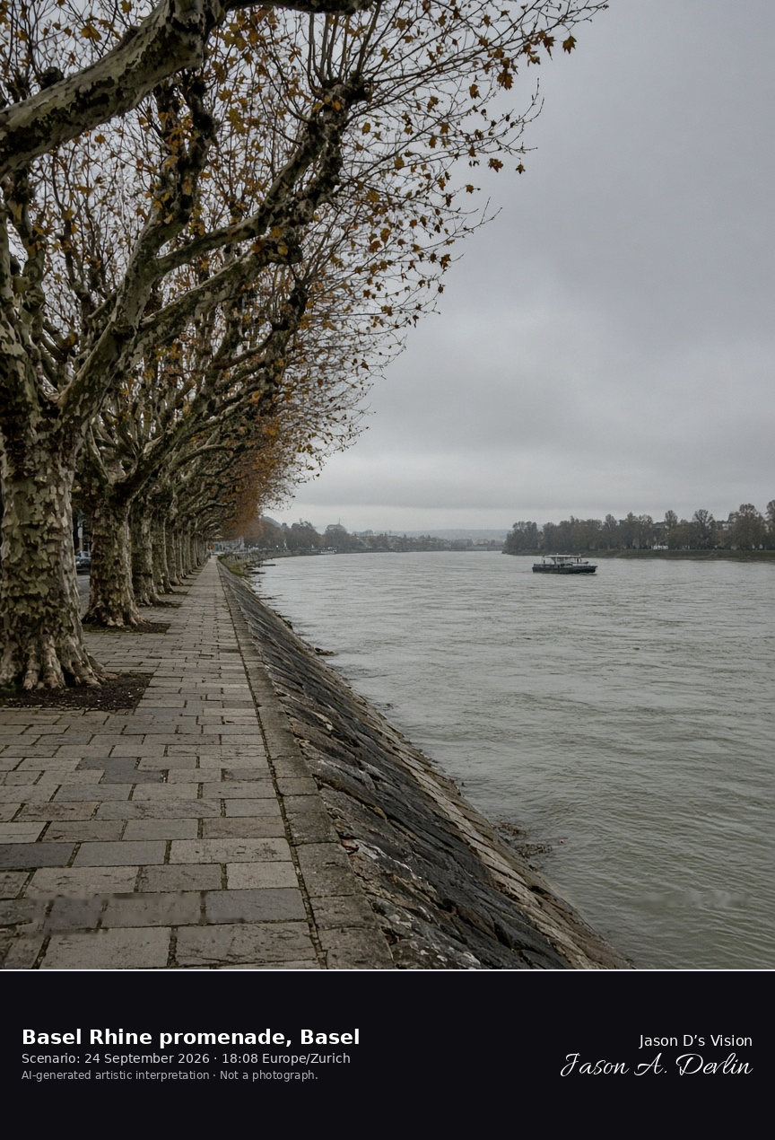
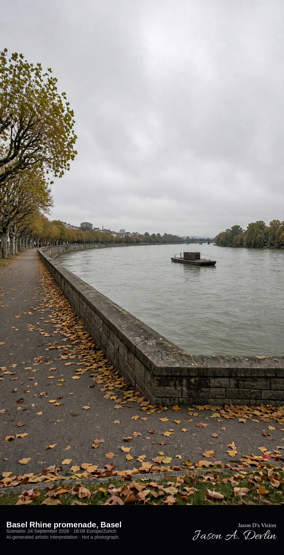
Tree-lined Unterer Rheinweg looking downstream on the Basel Rhine · AI-generated artistic interpretation
The Basel Rhine promenade here is the Unterer Rheinweg, a tree-lined quay looking downstream along the river. A small cable ferry sits on the water, and the stone bridge, the minster, and the Rathaus stay out of the subject. The Open-Meteo model is heavily clouded, mild, and breezy, with no rain.
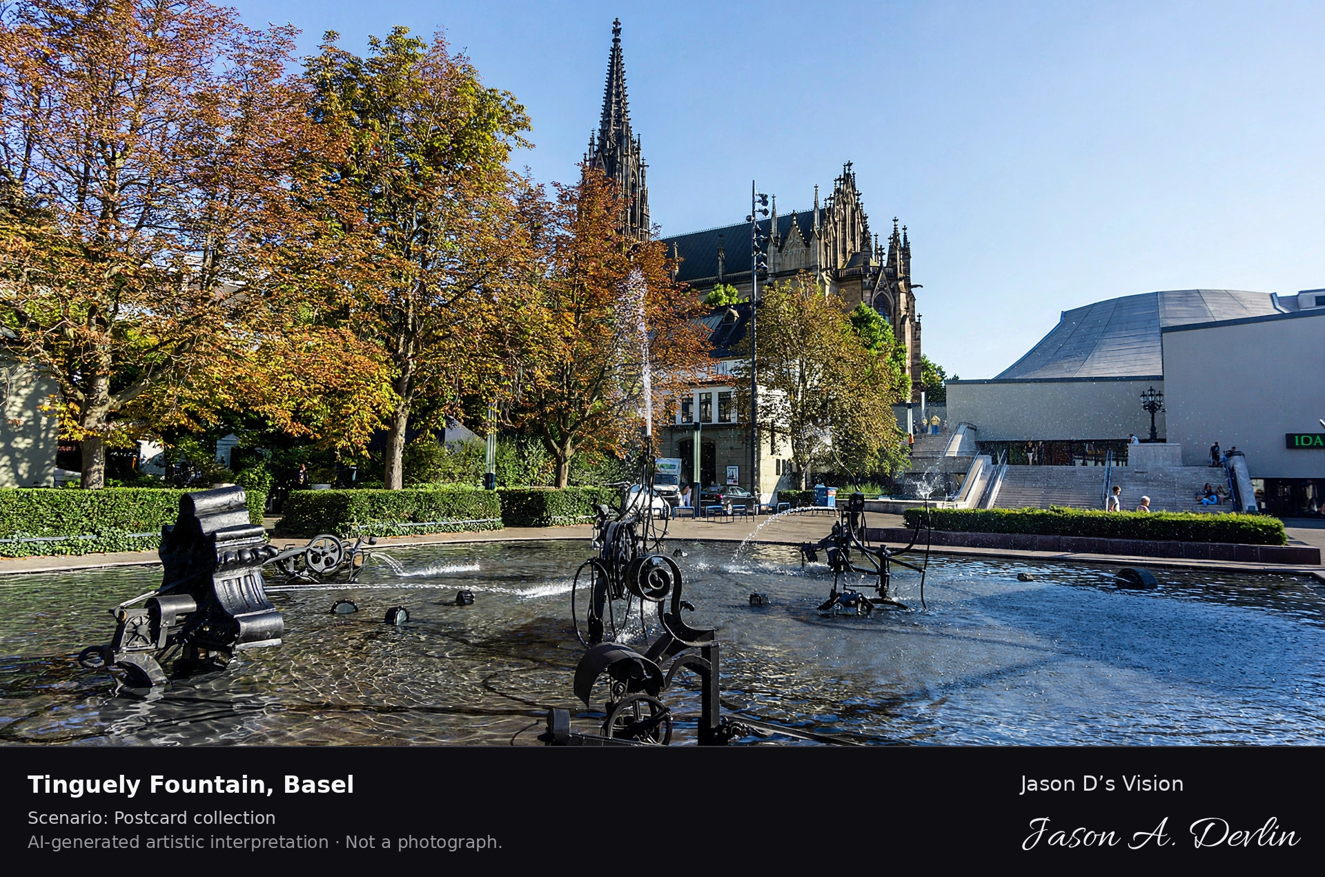
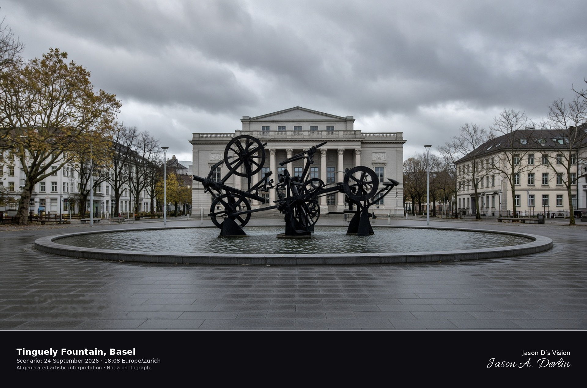
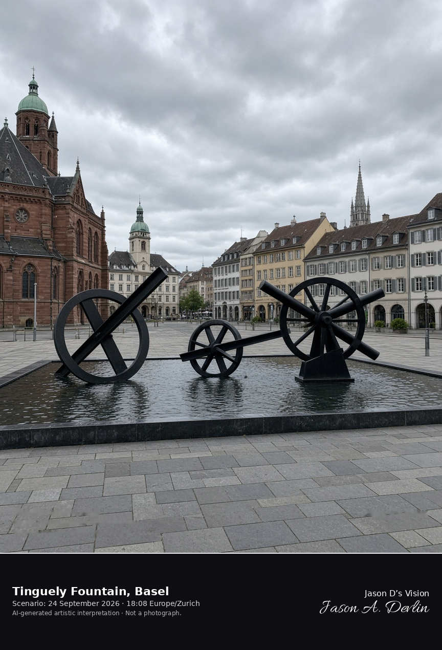
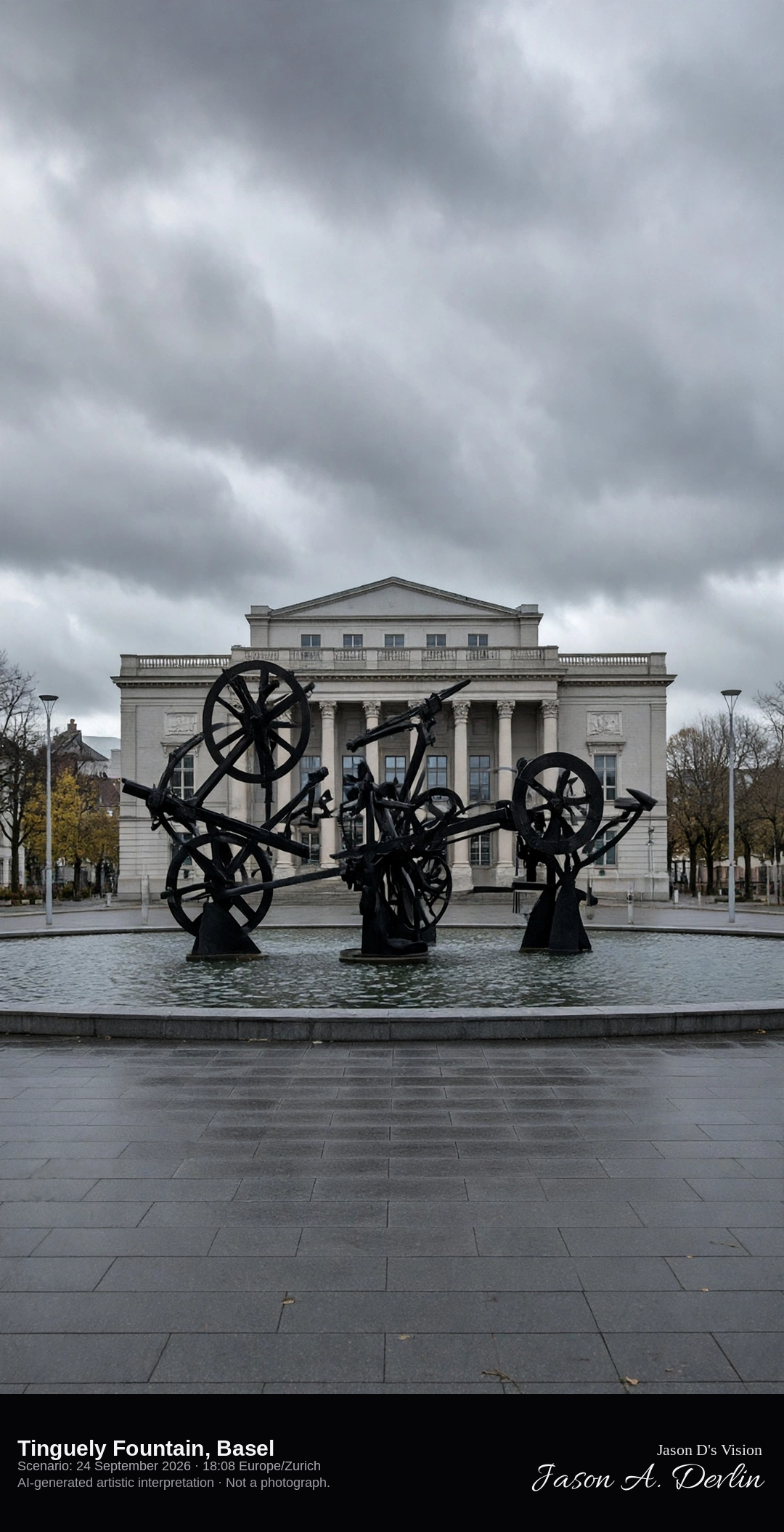
The Fasnachts-Brunnen on Theaterplatz in Basel · AI-generated artistic interpretation
The Tinguely Fountain is the Fasnachts-Brunnen on Theaterplatz, a shallow dark pool with black iron kinetic sculptures, built from 1975 to 1977 where the old theatre stage stood. The view stays outside, on the public square, and no name is readable on the machines. The Open-Meteo model is heavily clouded, mild, and breezy, with no rain.
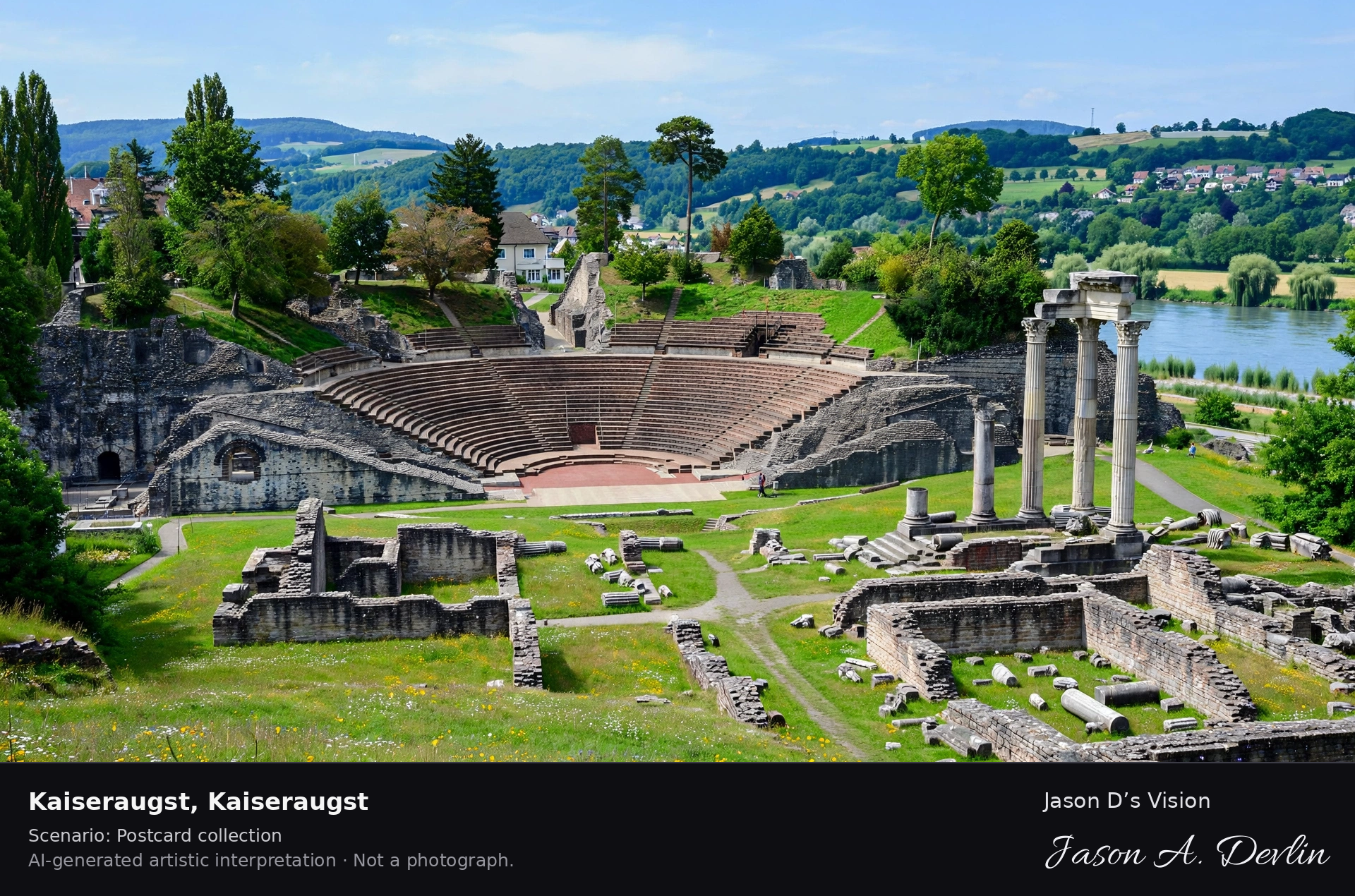
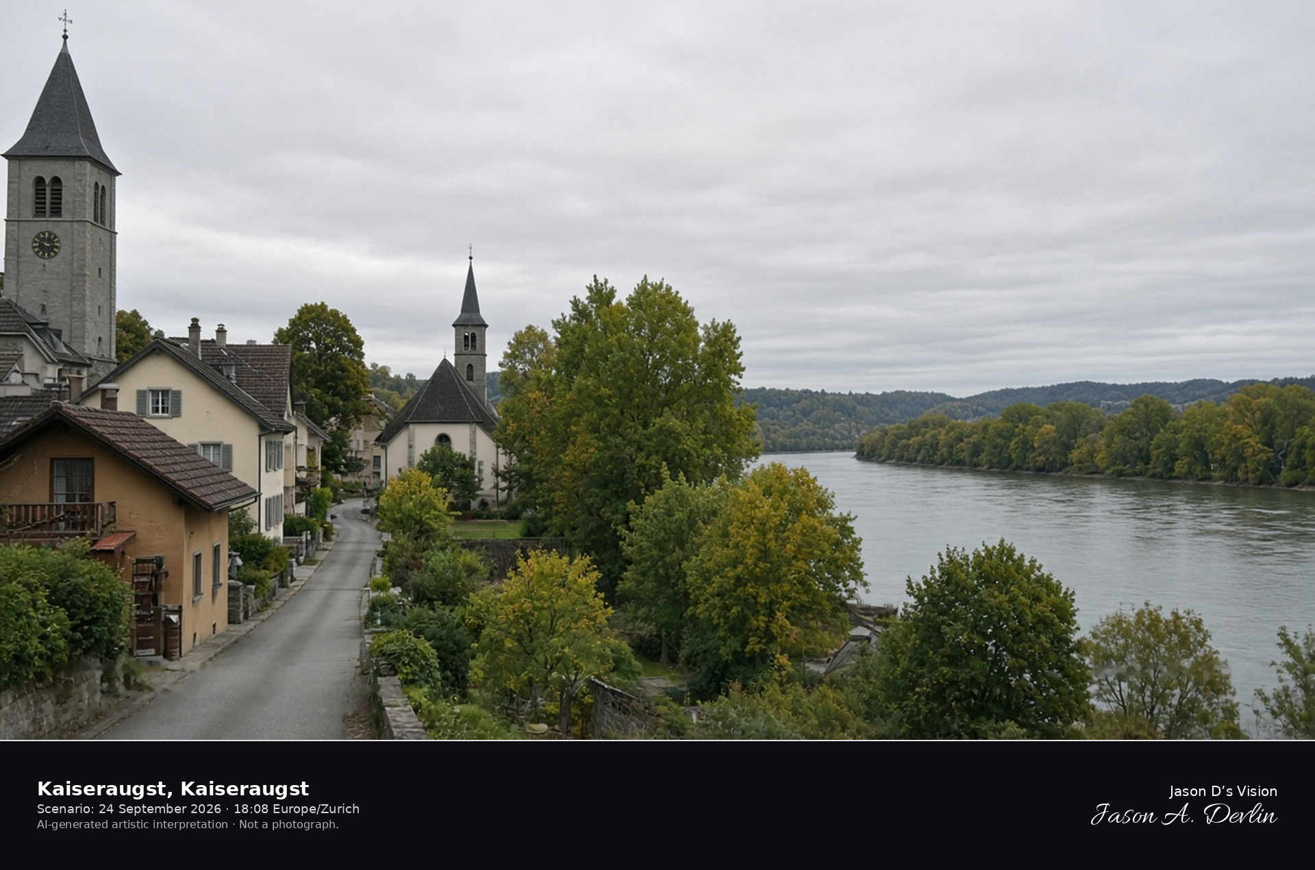
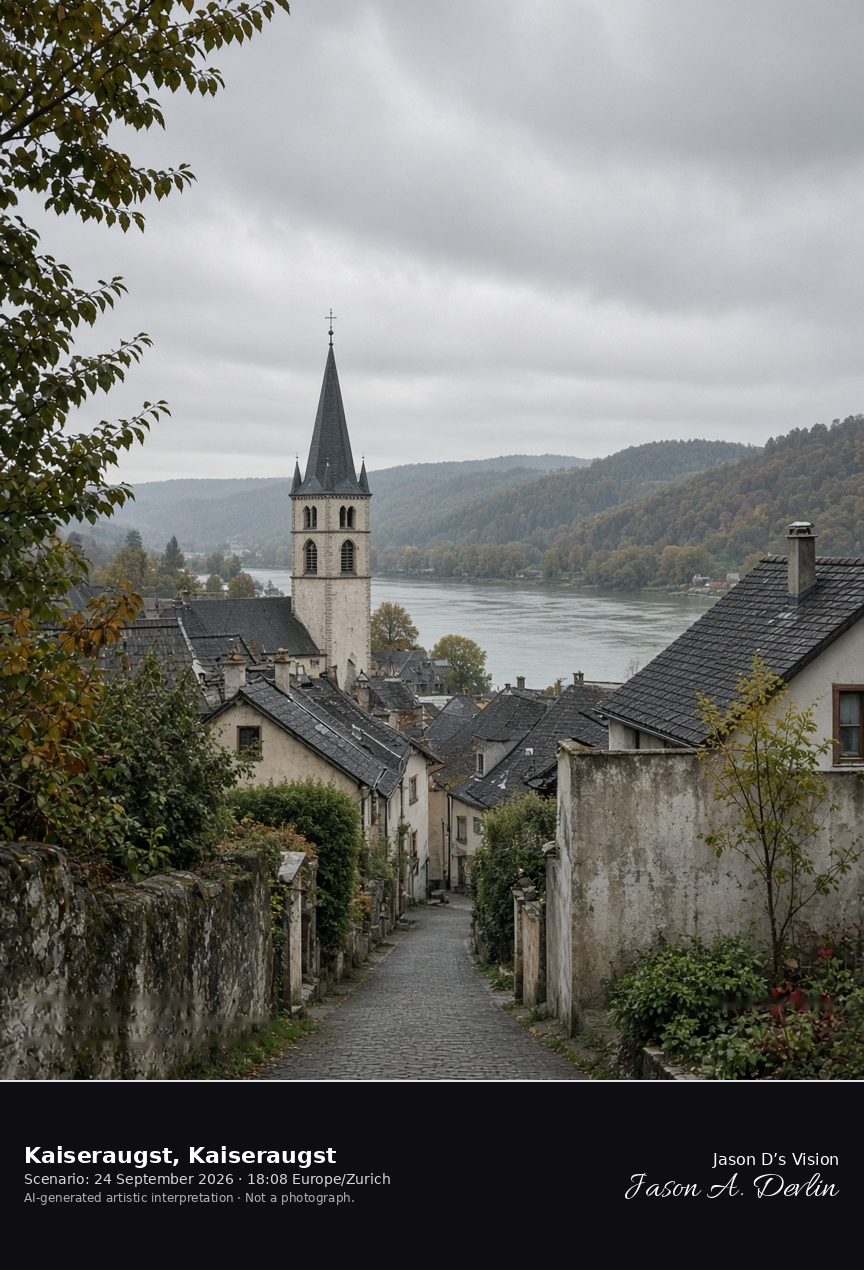
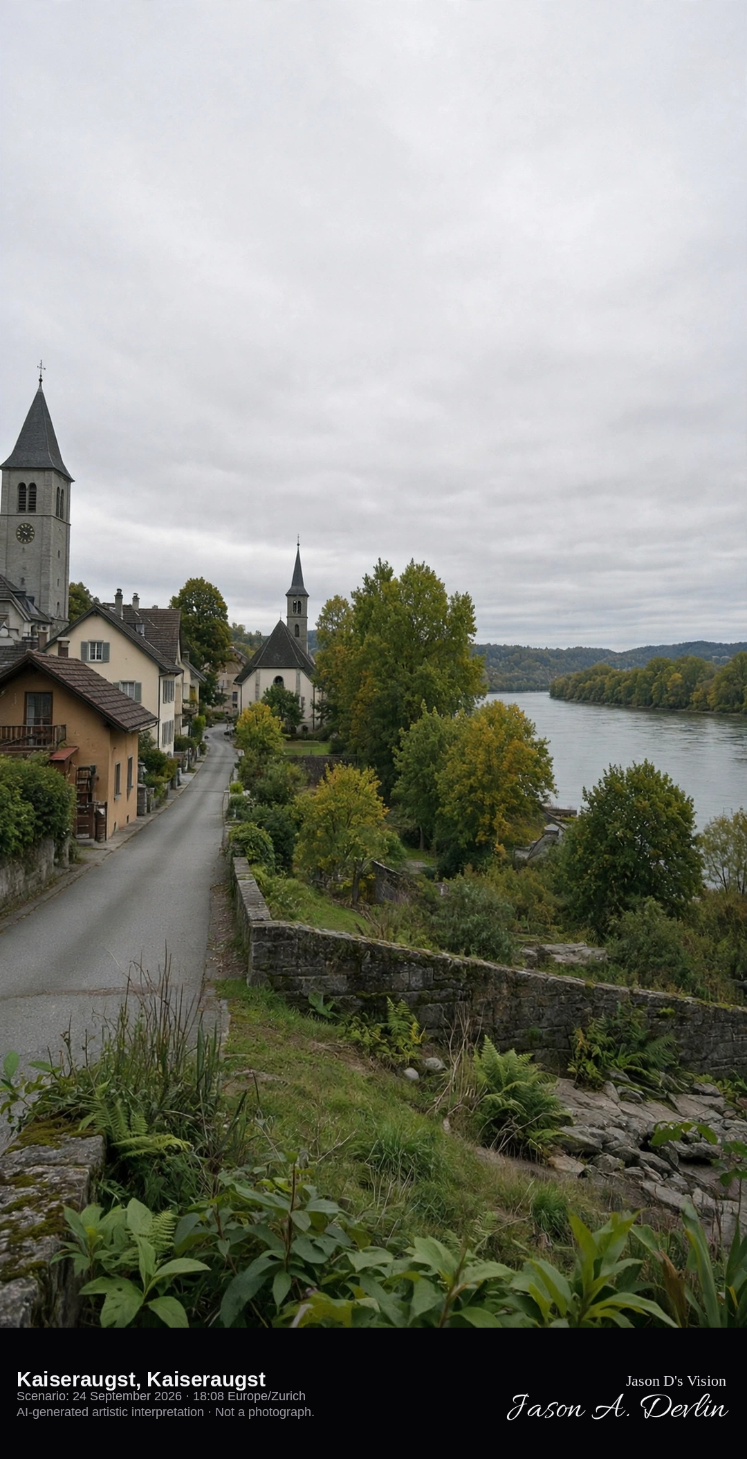
St. Gallus church and the Rhine bank in Kaiseraugst · AI-generated artistic interpretation
Kaiseraugst is the Aargau village on the High Rhine that grew from the late-Roman Castrum Rauracense, with the church of St. Gallus on Kirchgasse and the river along the north side. The Roman theatre of Augusta Raurica stands in neighbouring Augst and is already a separate scene. The Open-Meteo model is fully overcast and mild, with a breeze and no rain.
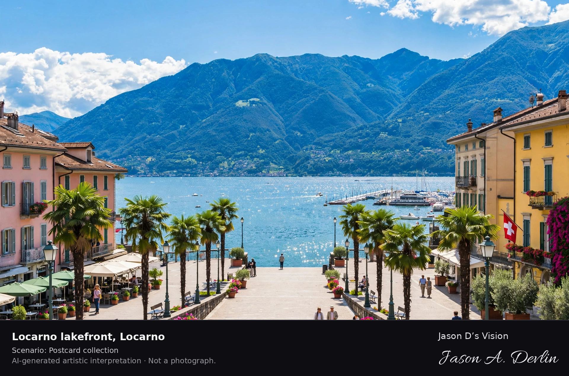
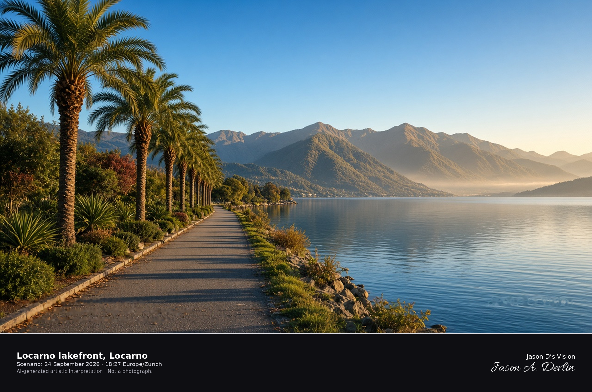
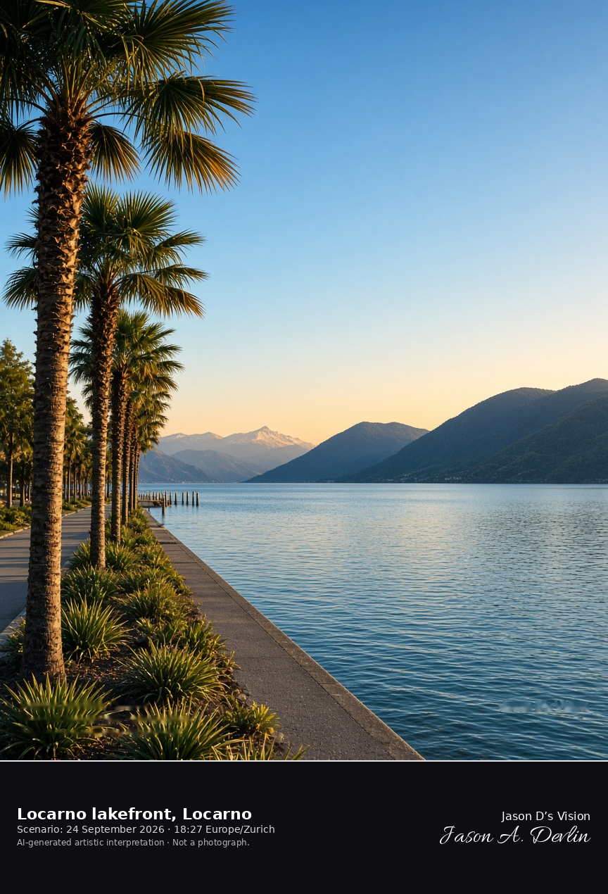
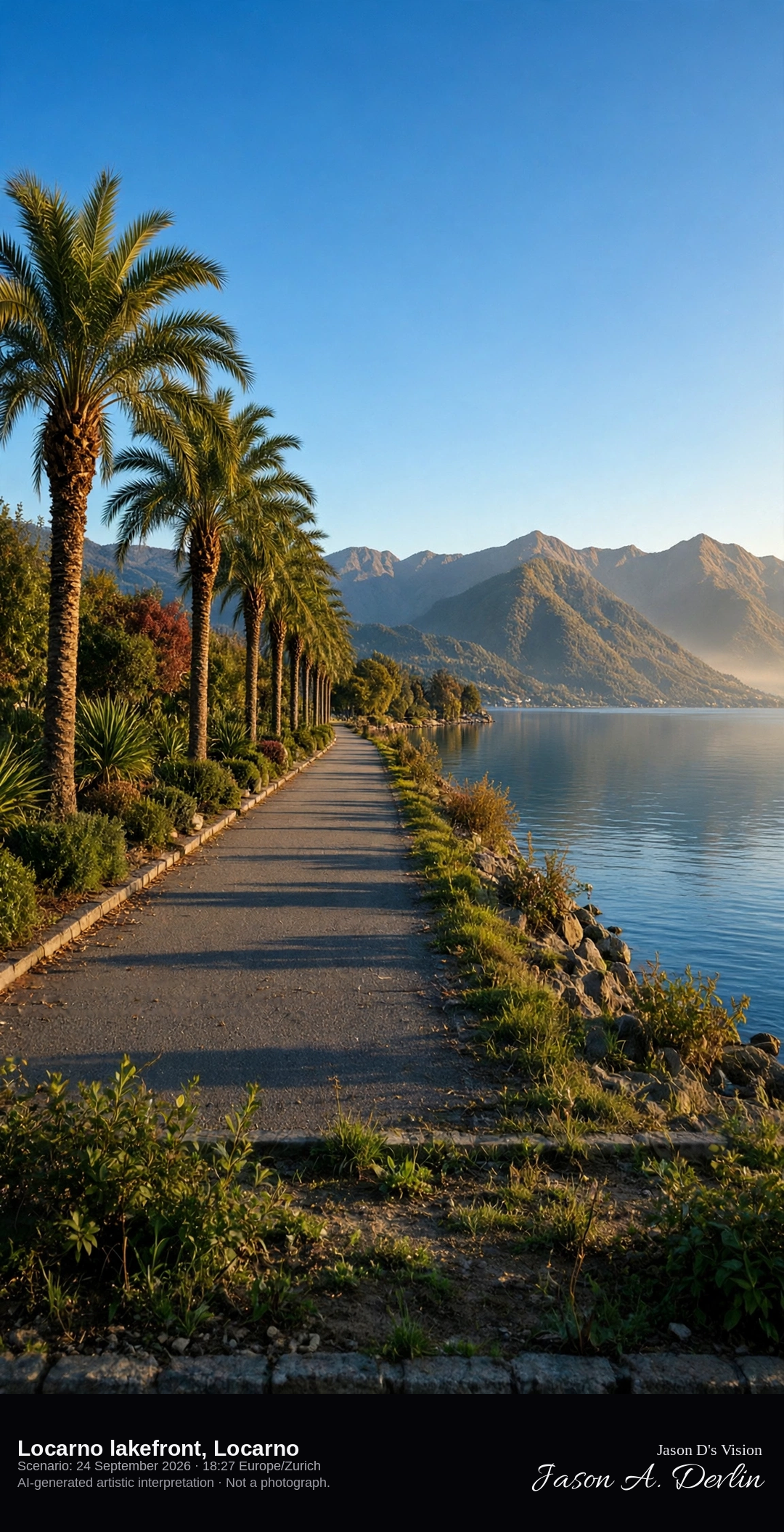
Palm promenade on Lake Maggiore at Locarno · AI-generated artistic interpretation
The Locarno lakefront is the palm promenade on Lake Maggiore, south of the arcaded square. The water opens toward the mountains of the far shore, and the sanctuary on the Orselina rock stays out of the frame. Palms are still green in late September. The Open-Meteo model is mainly clear and warm, with a low western sun and no rain.
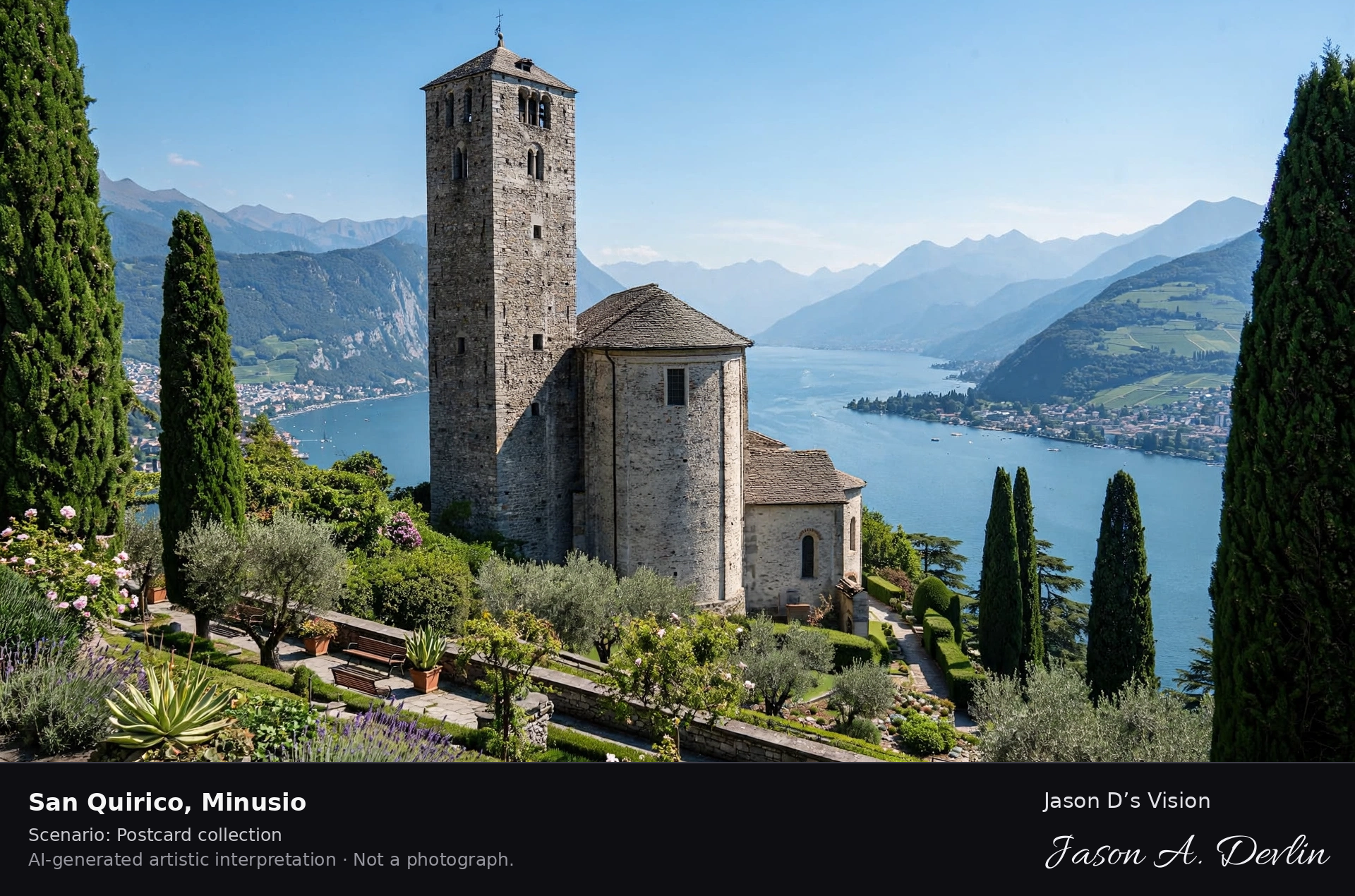
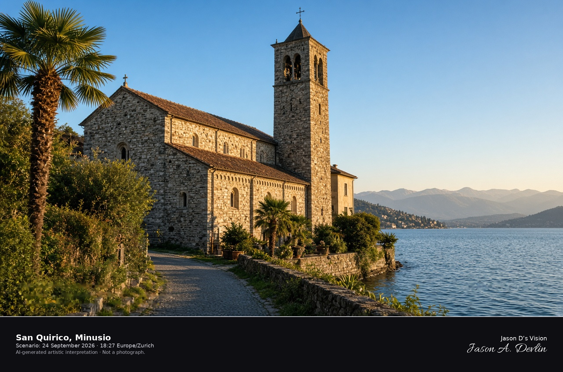
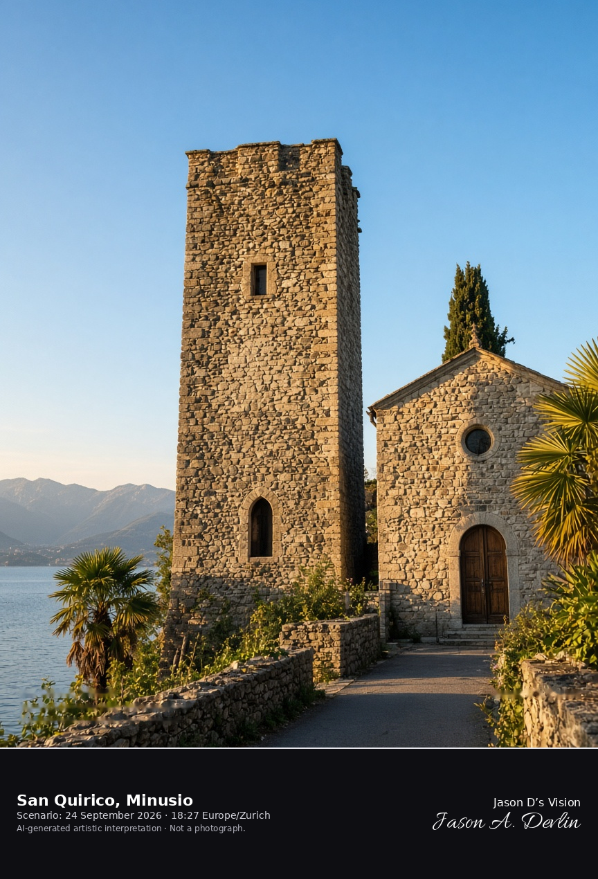
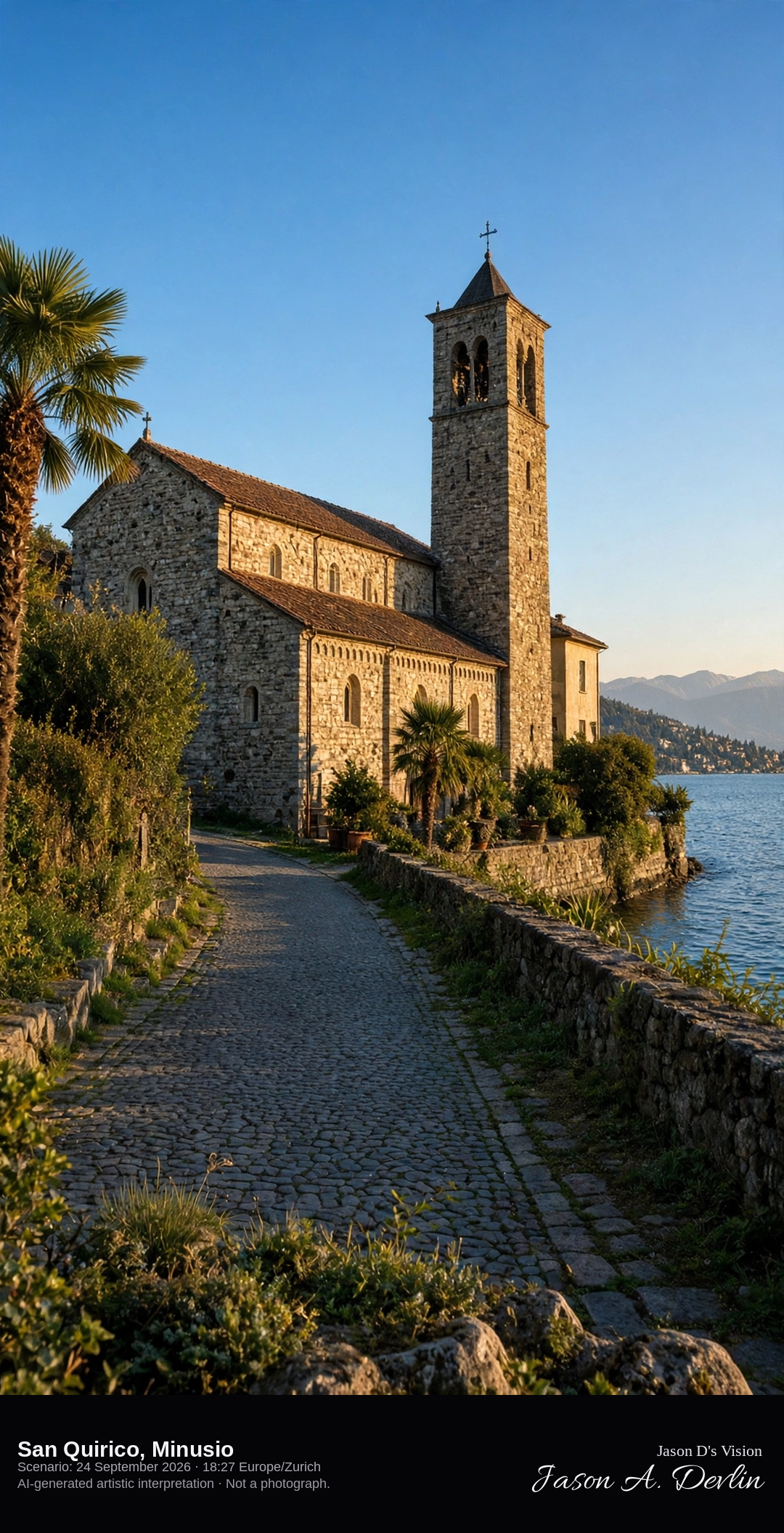
San Quirico and its medieval tower on the lake at Minusio · AI-generated artistic interpretation
San Quirico stands at Rivapiana in Minusio, a lakeside church first recorded in 1313, with a medieval watchtower adapted as its bell tower. The quarter sits on Lake Maggiore east of Locarno, so this is not the Locarno promenade and not Madonna del Sasso. Only the exterior is shown. The Open-Meteo model is mainly clear and warm, with a low western sun and no rain.
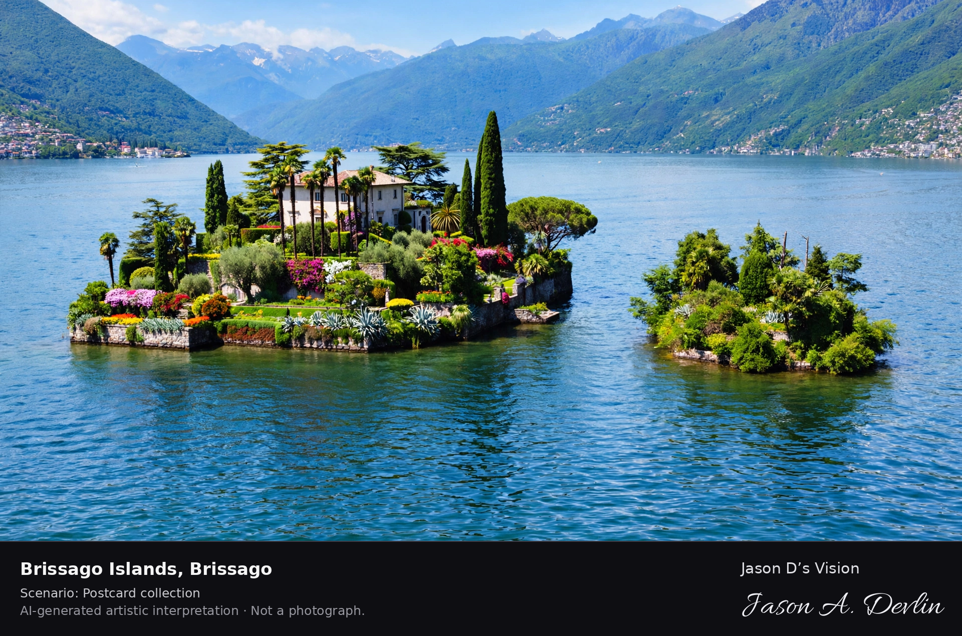
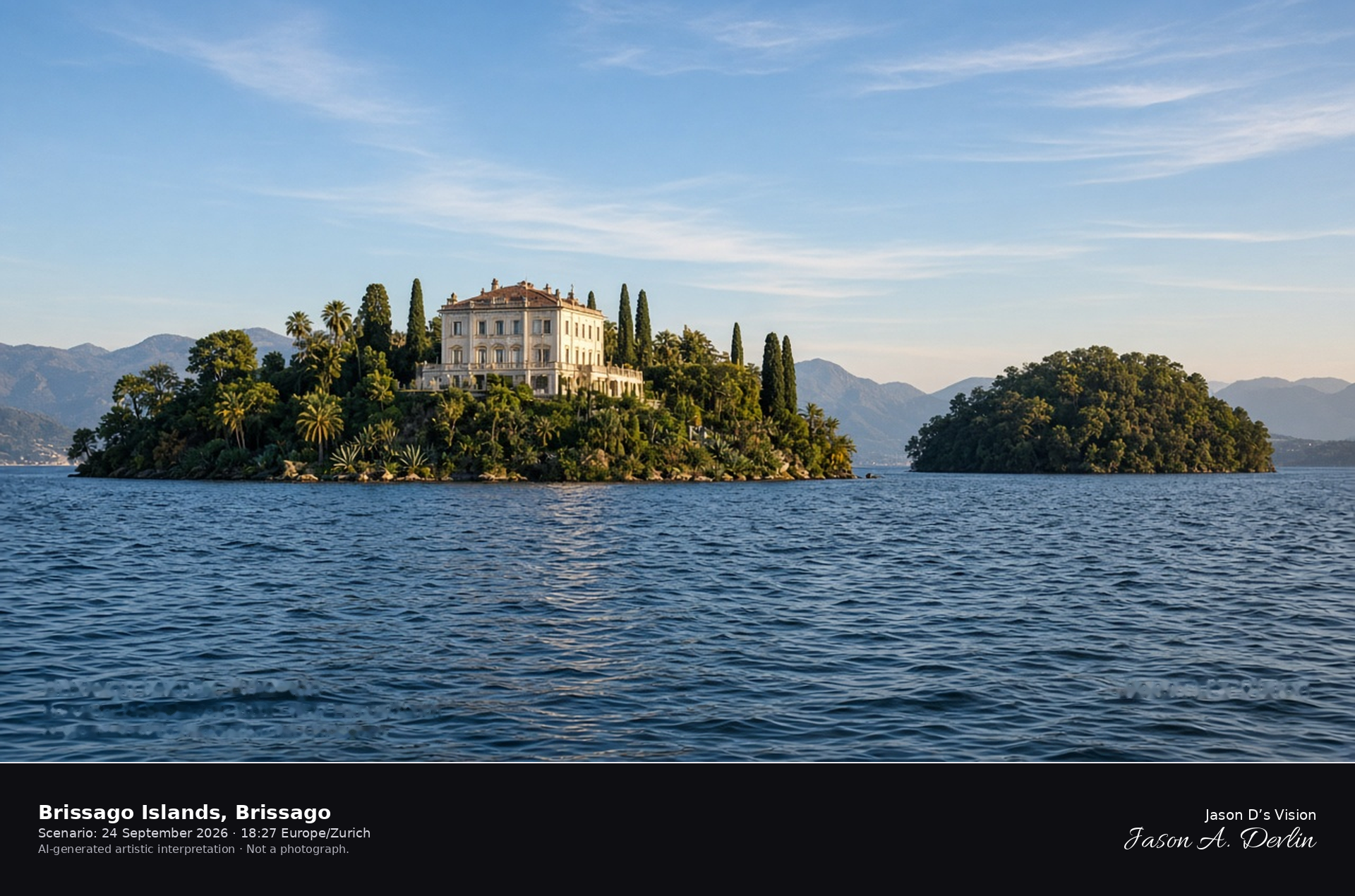
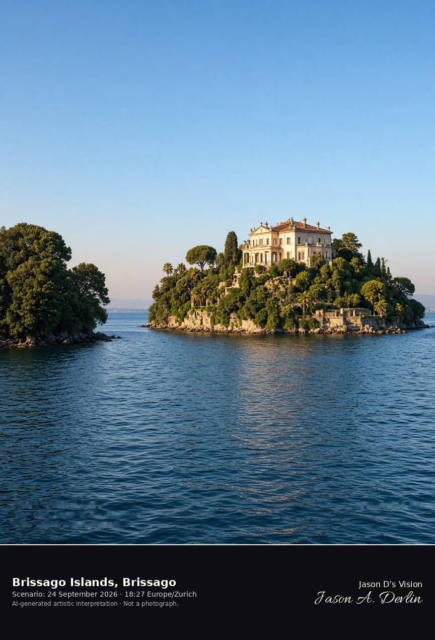
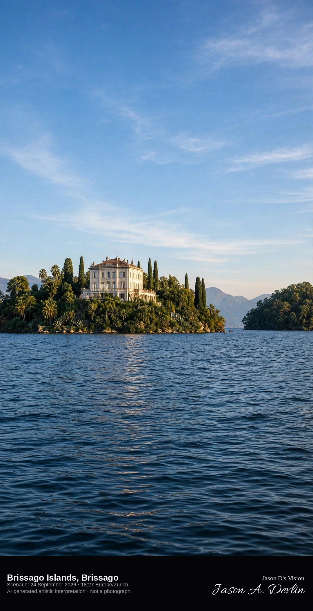
Boat approach to Isola Grande and the Brissago Islands gardens · AI-generated artistic interpretation
The Brissago Islands lie in Lake Maggiore in the municipality of Brissago, and this frame is the boat approach to Isola Grande. A large pale villa and the subtropical botanical garden occupy the larger island, and the smaller island stays wooded. The view stays outside. The Open-Meteo model is mainly clear and warm, with a low western sun and no rain.
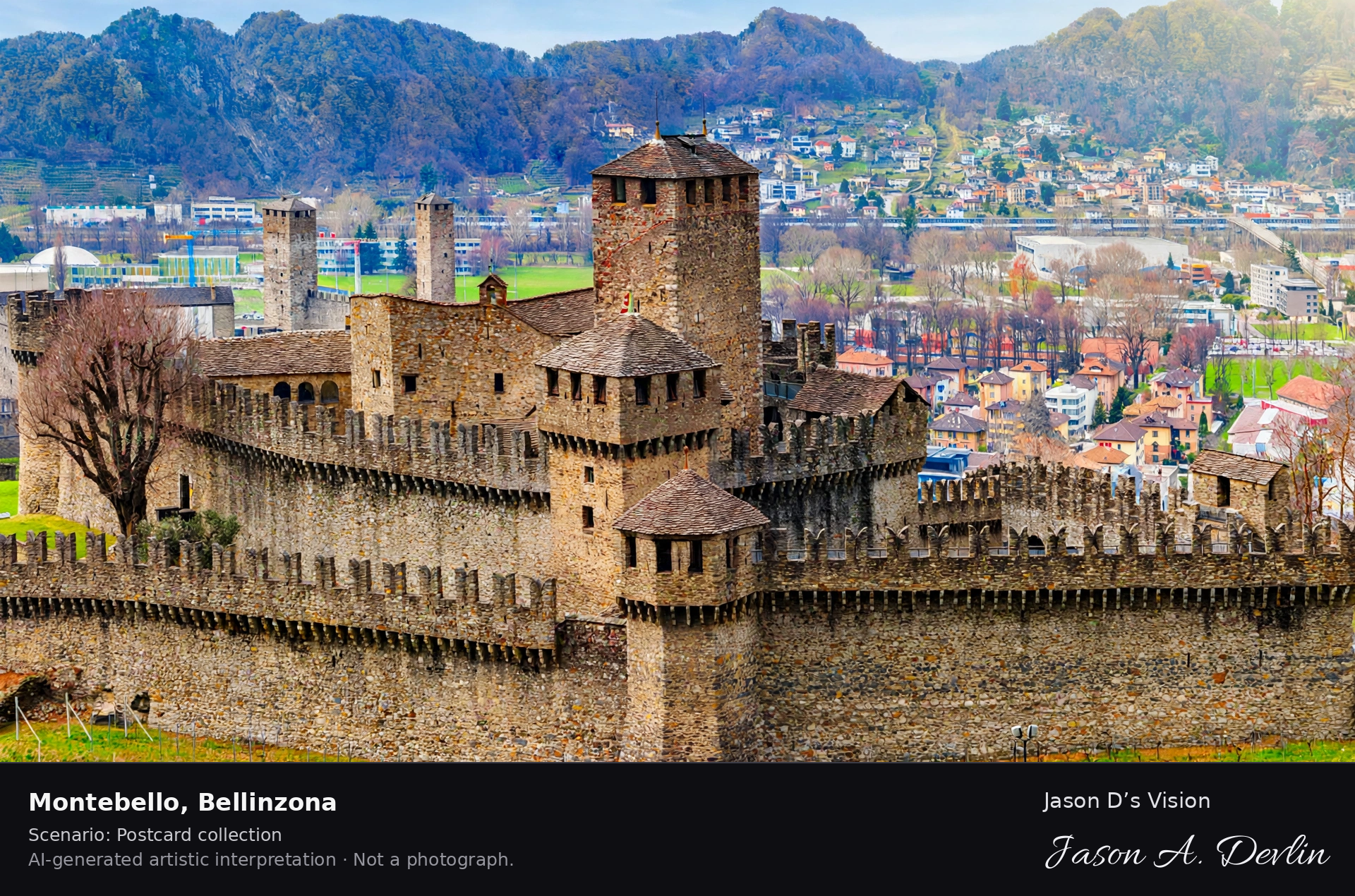
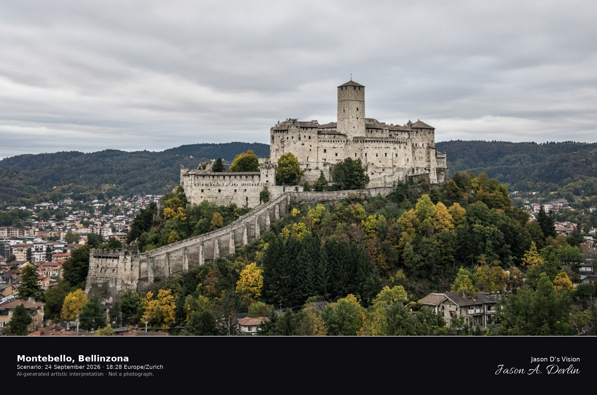
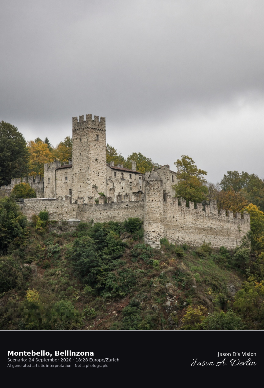
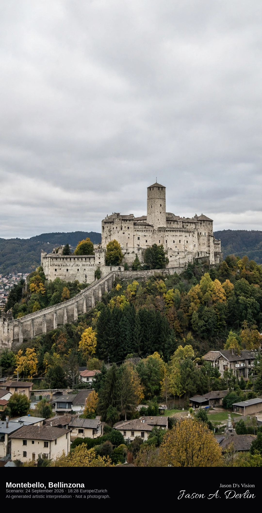
Castello di Montebello on the slope above Bellinzona · AI-generated artistic interpretation
Montebello is the middle castle of Bellinzona, pale walls and a keep on the slope, tied into the Murata wall. Castelgrande on its rock and the old-town streets are separate scenes and are not the subject. No scaffolding is added, and no banner is readable. The Open-Meteo model is overcast and warm, with no rain.
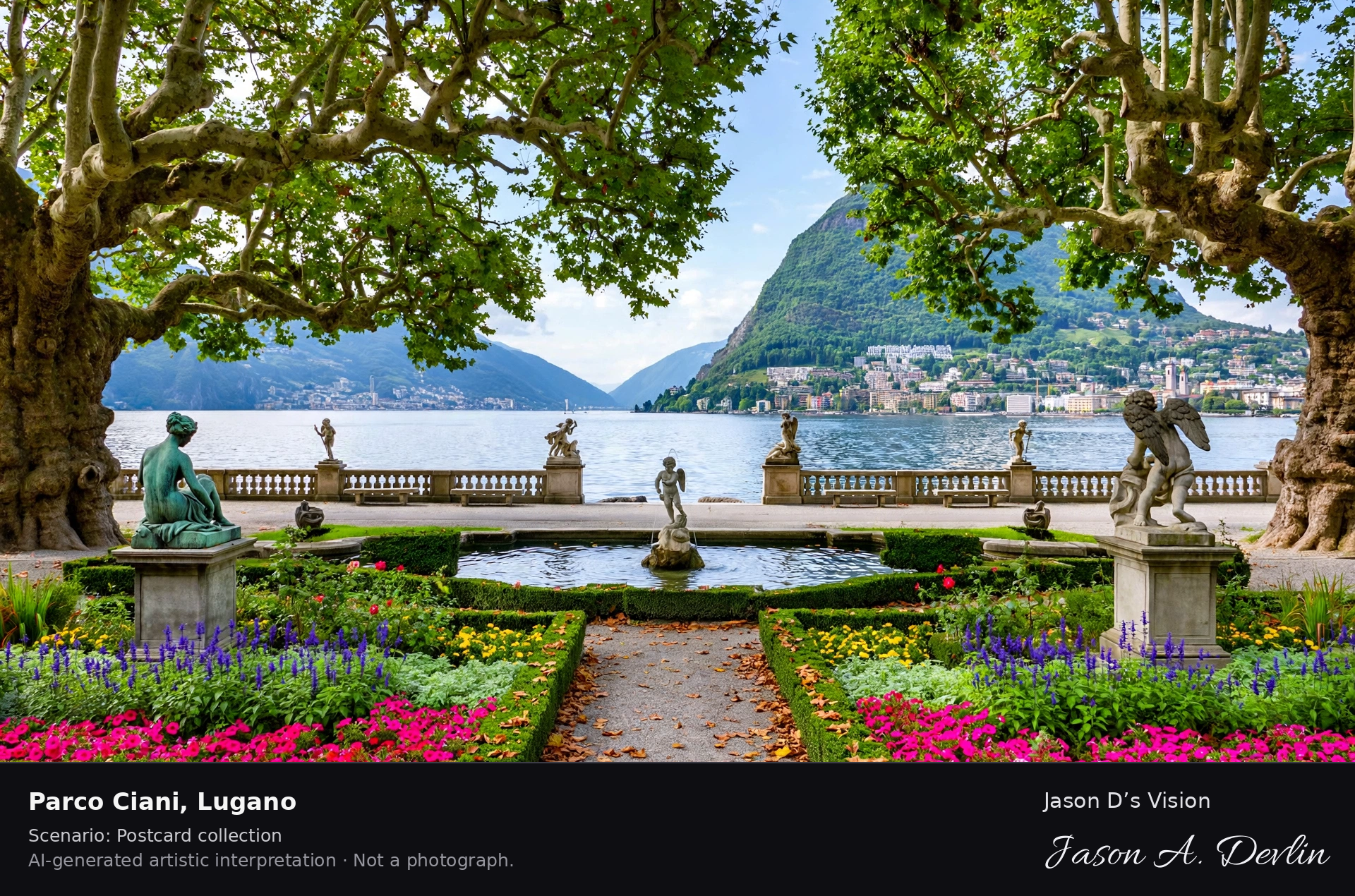
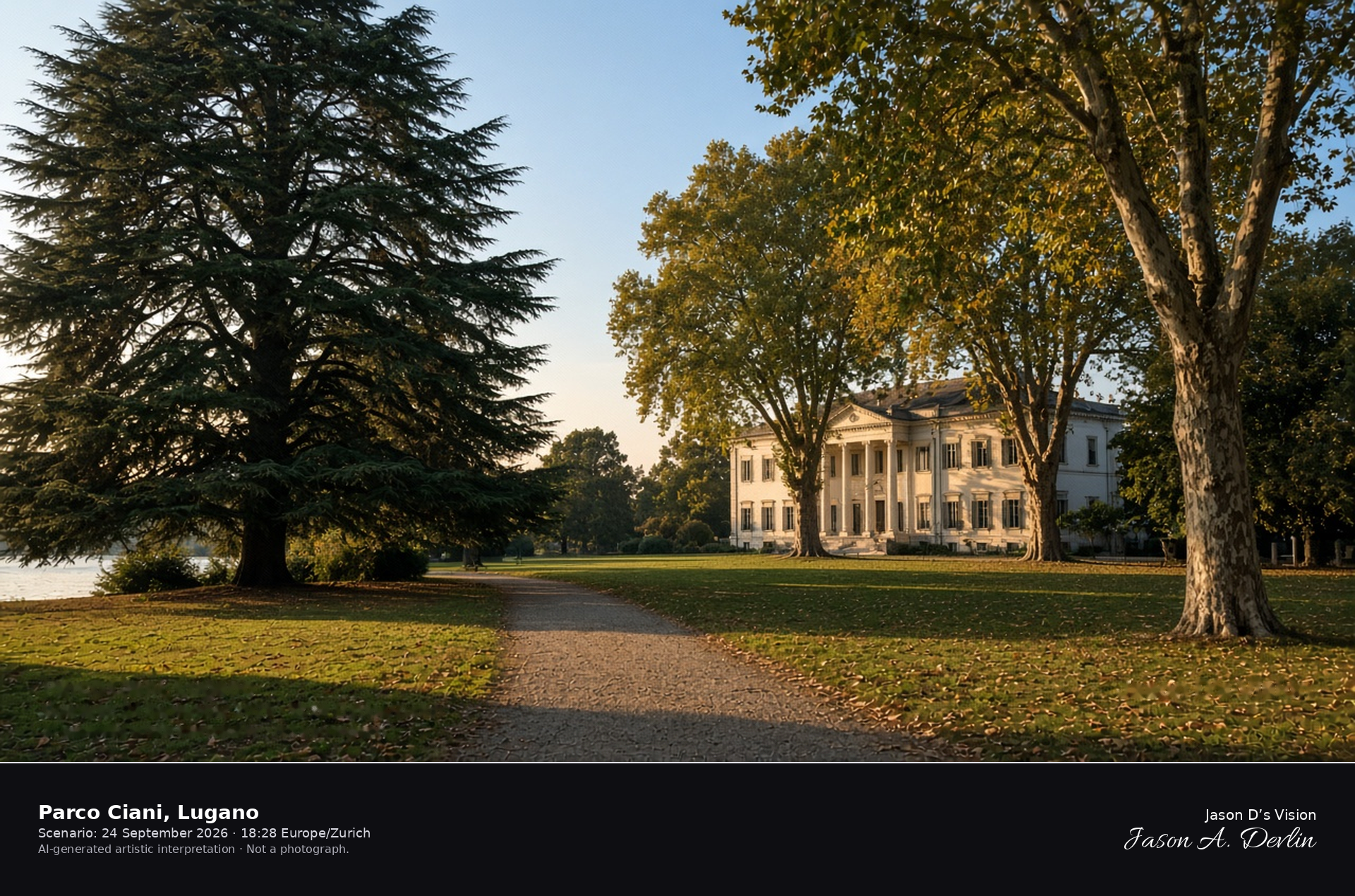
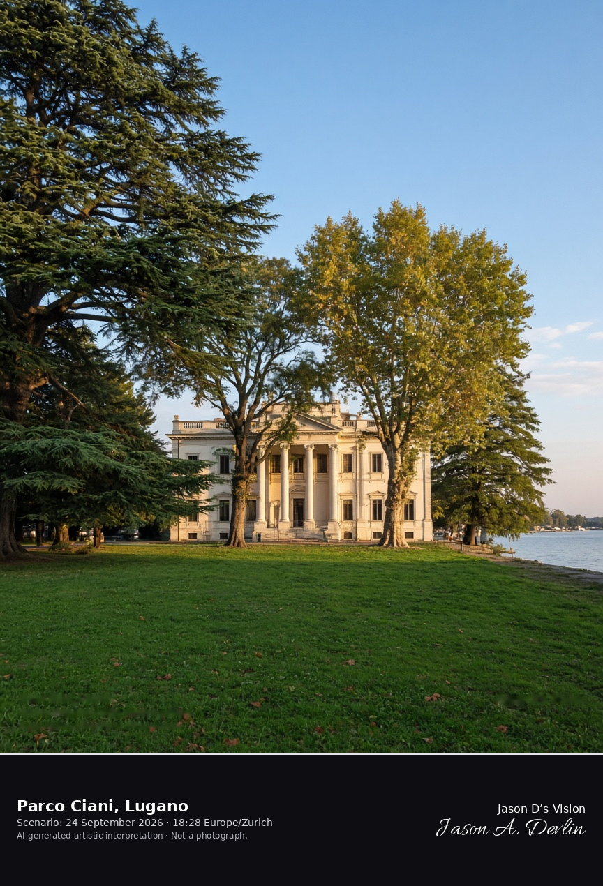
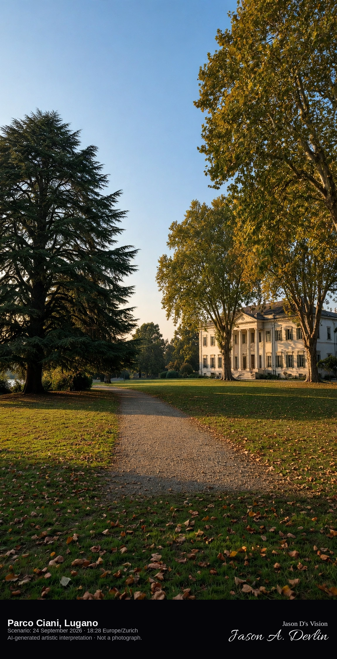
Villa Ciani among the trees of Parco Ciani on Lake Lugano · AI-generated artistic interpretation
Parco Ciani is the civic park on Lugano’s lake edge, with the neoclassical Villa Ciani among large trees and the water along one side. The frame stays in the park and does not repeat the lakefront view toward Monte Brè. No sign is readable. The Open-Meteo model is mainly clear and warm, with a low western sun and no rain.
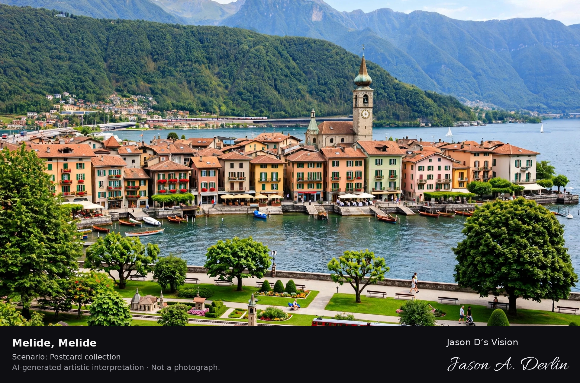
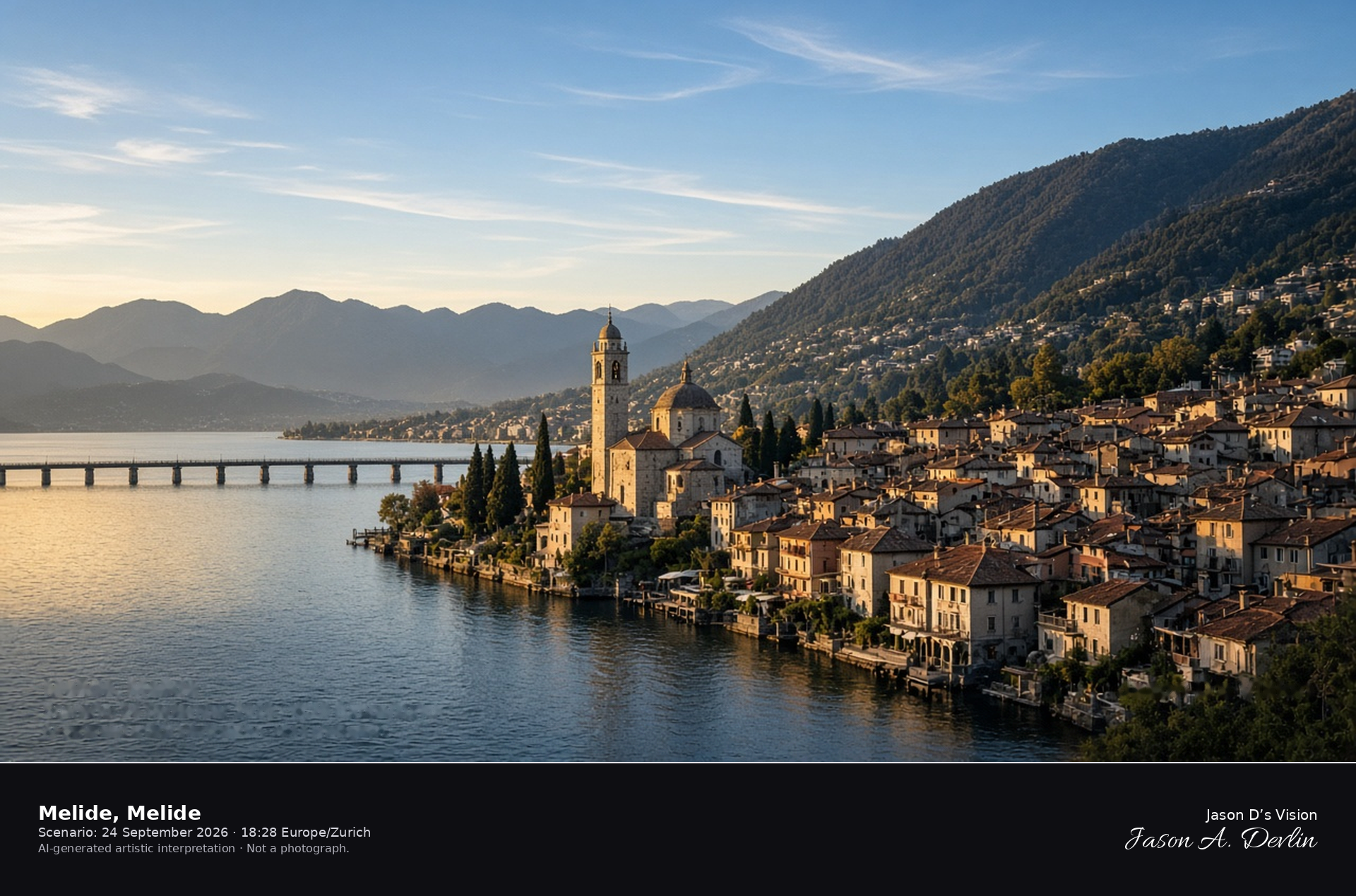
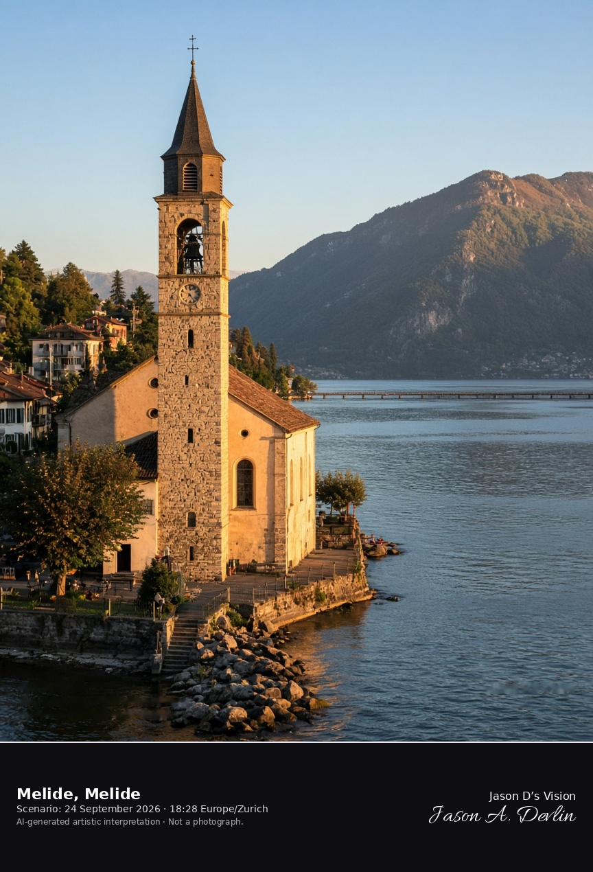
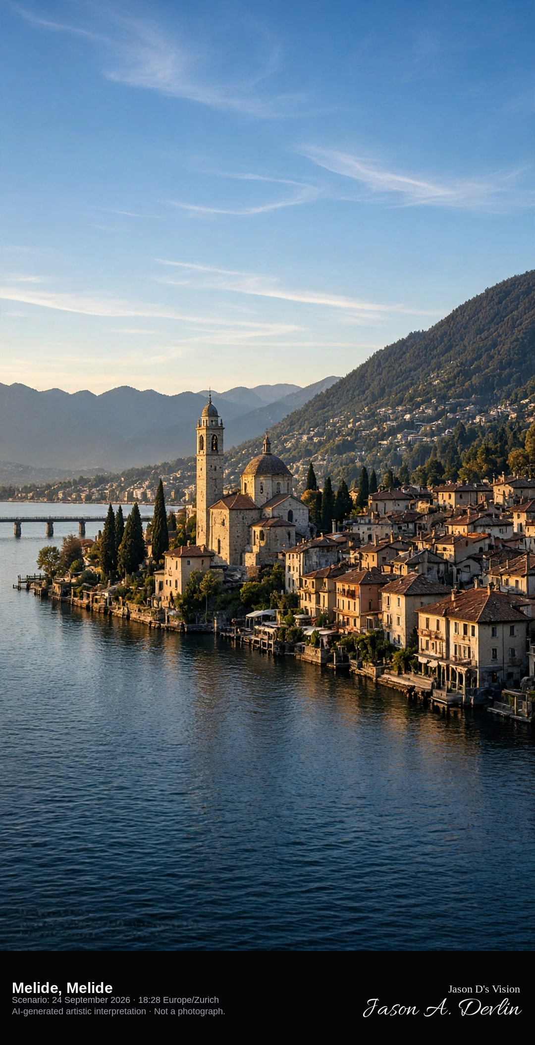
Melide church and the causeway shore on Lake Lugano · AI-generated artistic interpretation
Melide is the village on the west shore of Lake Lugano where the causeway leaves for Bissone. The parish church of Santi Quirico e Giulitta stands by the water, and Monte San Salvatore rises behind the roofs without becoming the portrait. The miniature park is not shown. The Open-Meteo model is mainly clear and warm, with a low western sun and no rain.
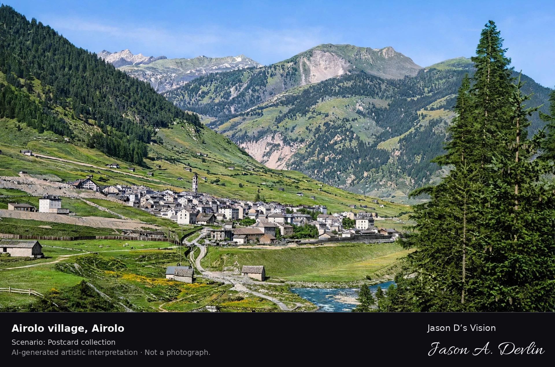
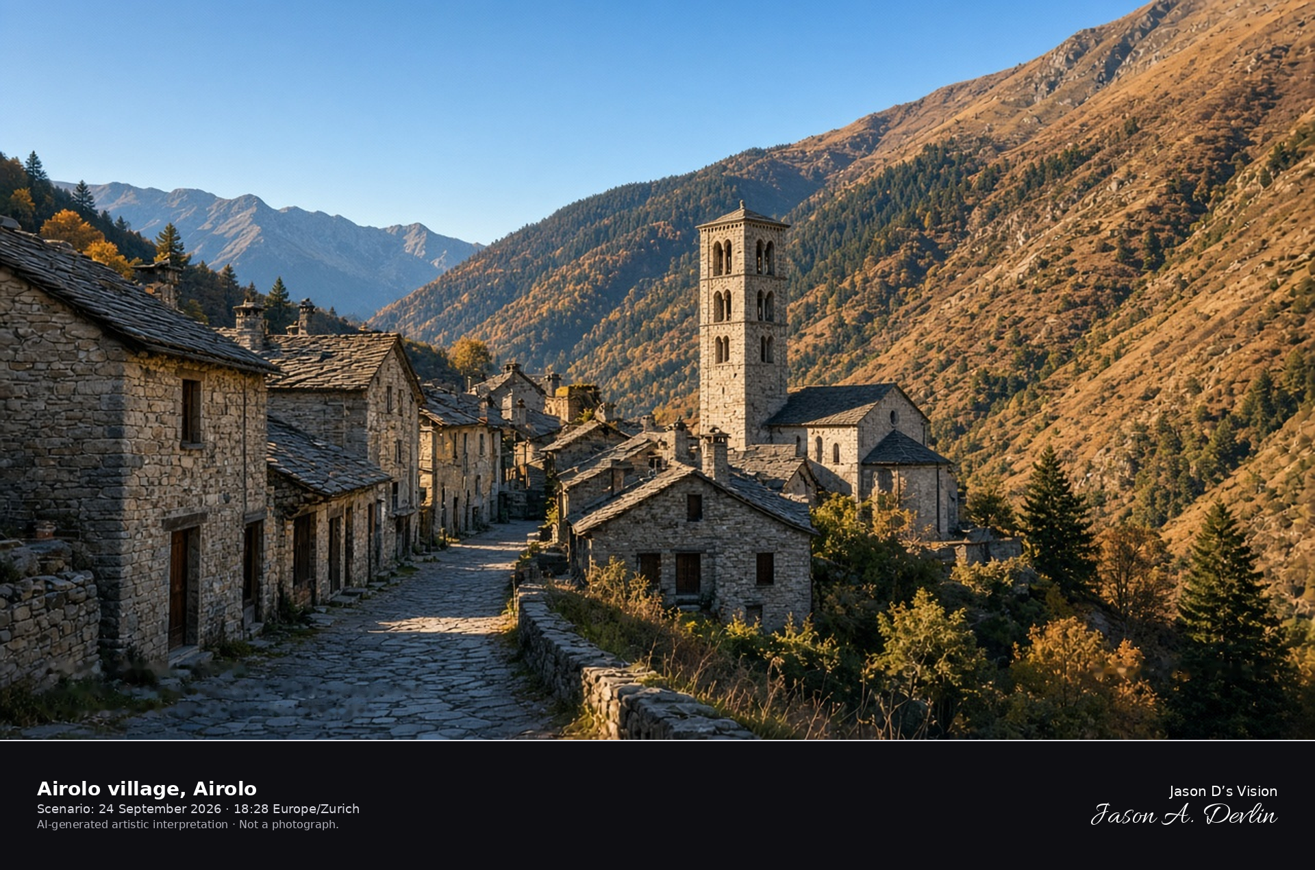
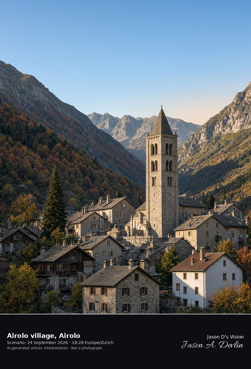
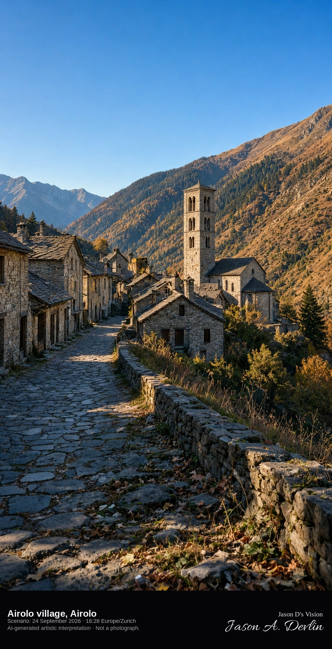
Airolo village and the Romanesque tower of Santi Nazario e Celso · AI-generated artistic interpretation
Airolo village sits on the Leventina floor at about 1175 m, below the Gotthard saddle. The church of Santi Nazario e Celso keeps its Romanesque bell tower, with twin arches, from before the 1877 fire that destroyed most of the town. This is the valley village, not the barren pass. The Open-Meteo model is clear and cool, with a low western sun, no rain, and no snow on the roofs.
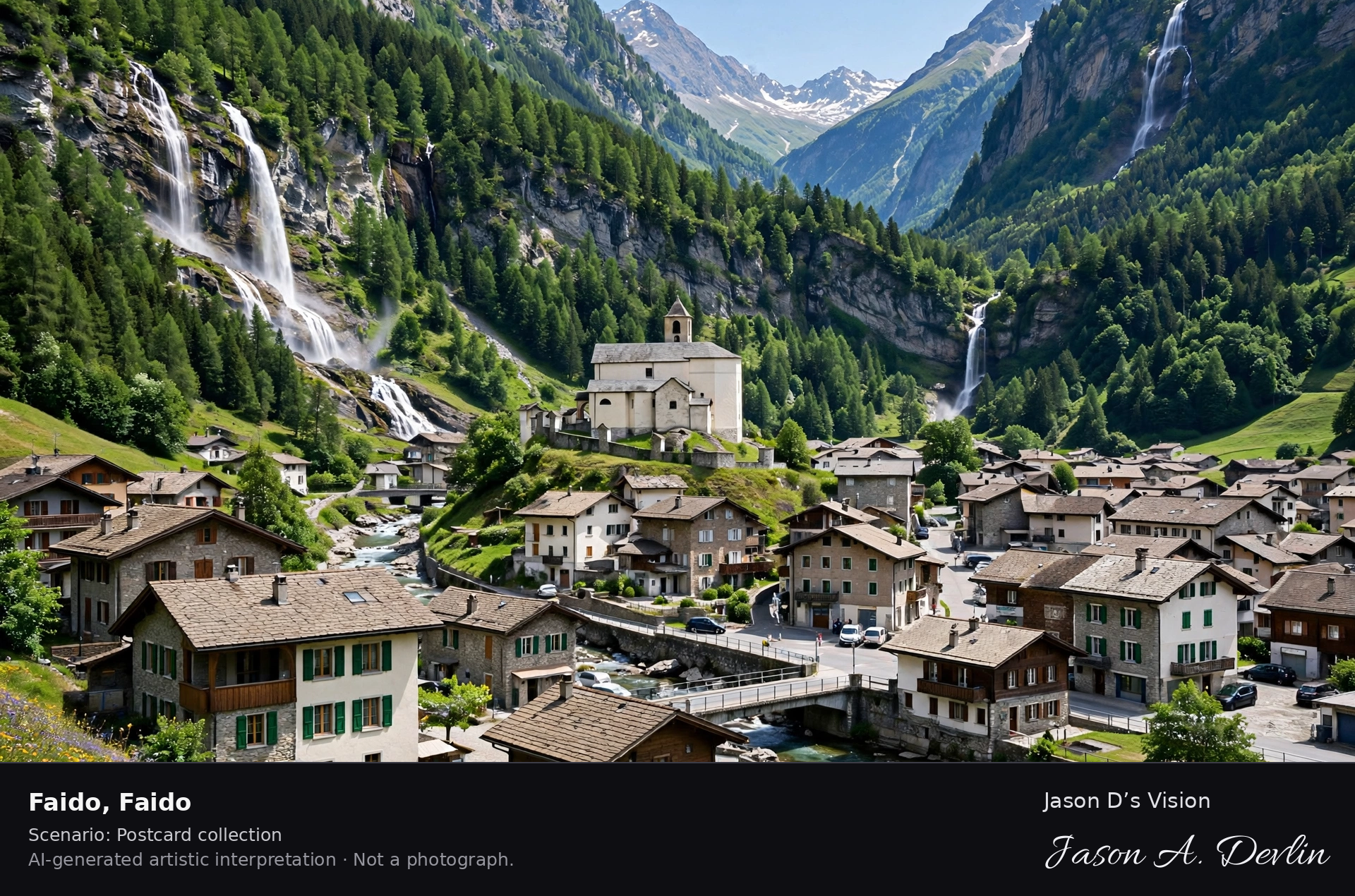
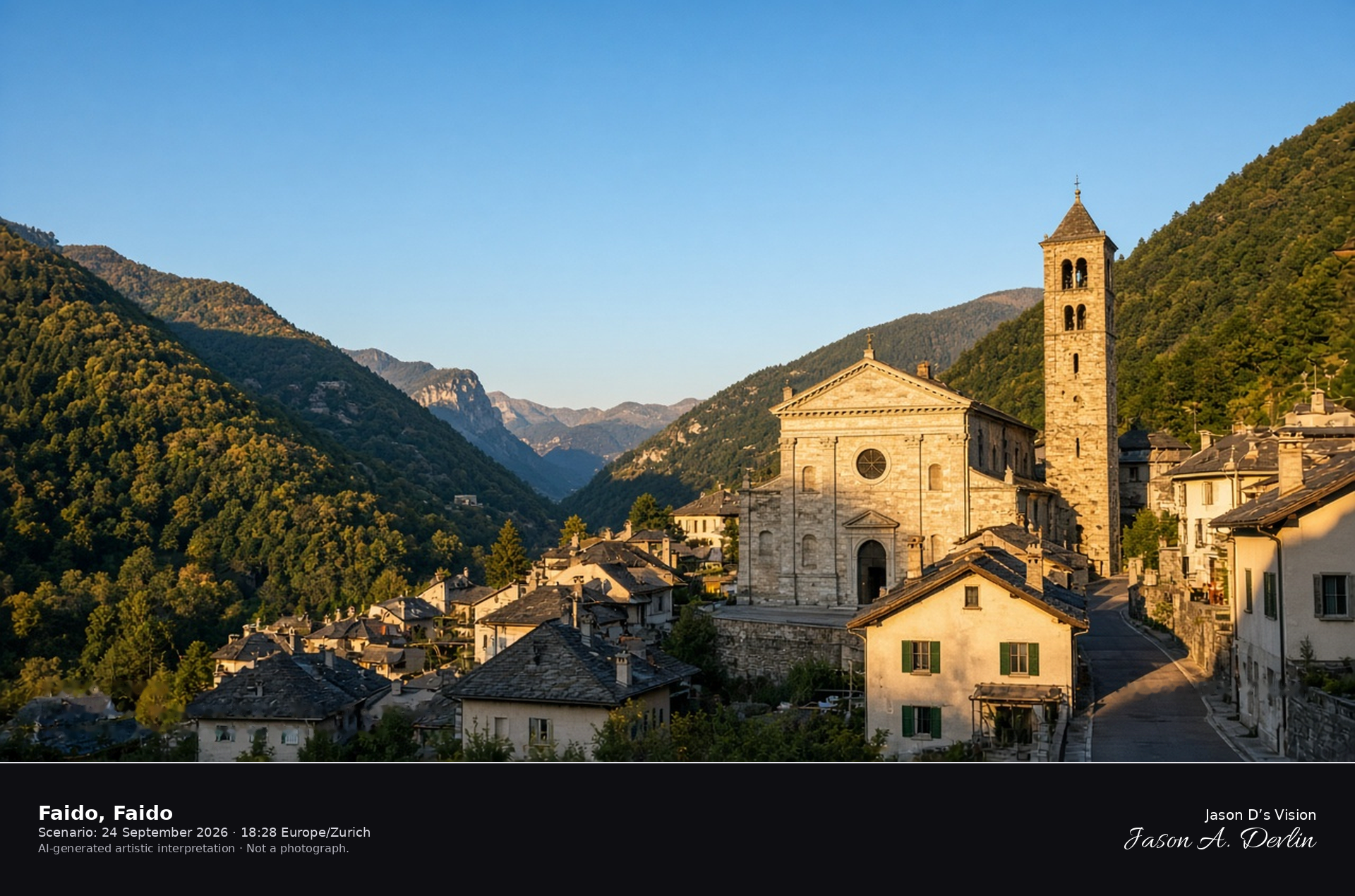
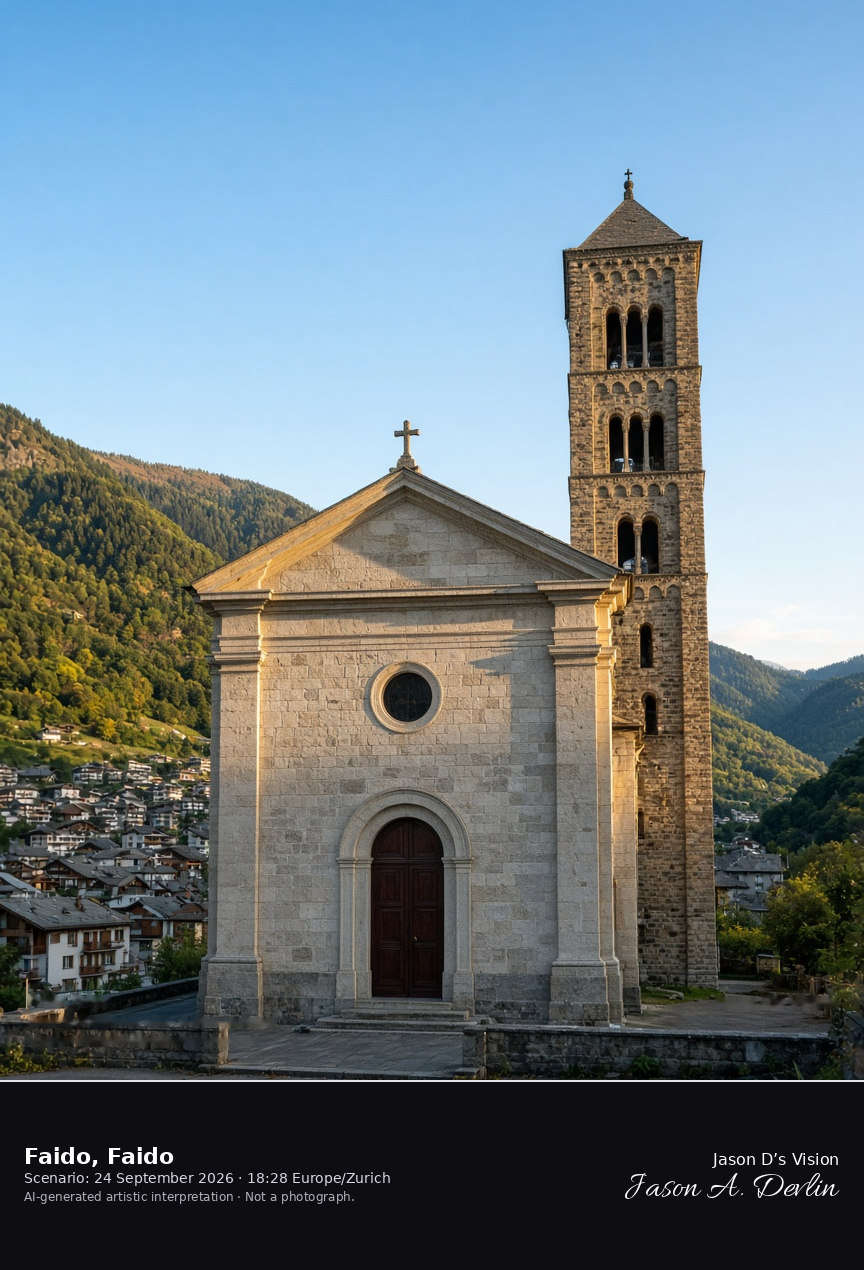
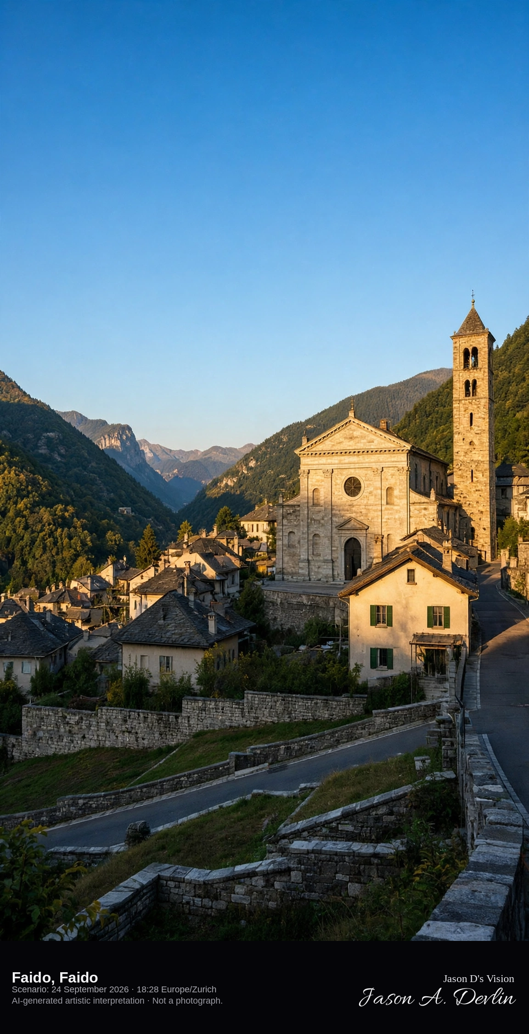
Sant'Andrea and the valley street in Faido · AI-generated artistic interpretation
Faido is the town of the lower Leventina, set in the valley at about 720 m. The church of Sant'Andrea has a neoclassical body and a Romanesque bell tower on Via Canton Uri. The frame stays outside and does not feature the facade mosaic. The Open-Meteo model is mainly clear and warm, with a low western sun and no rain.
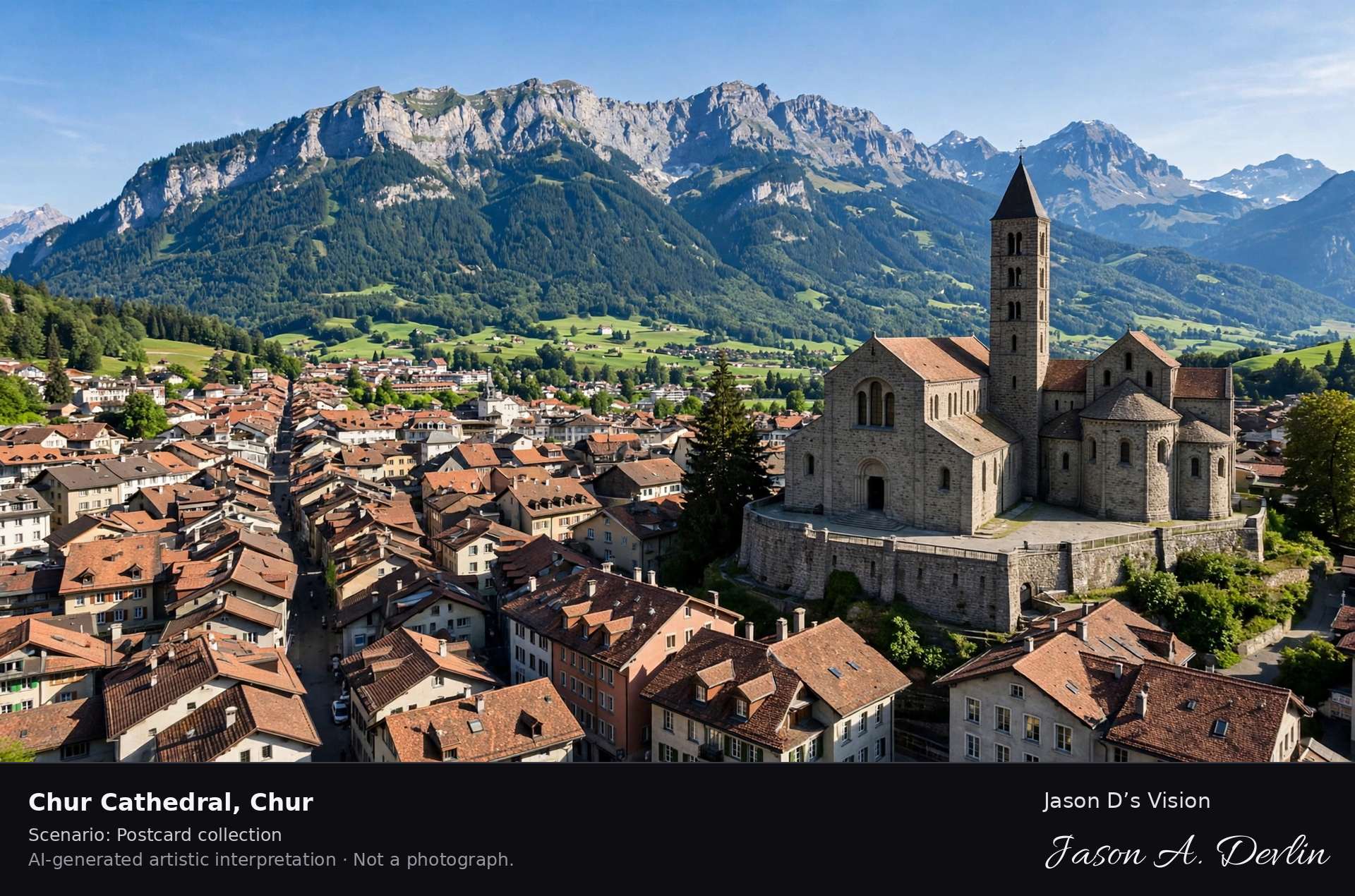
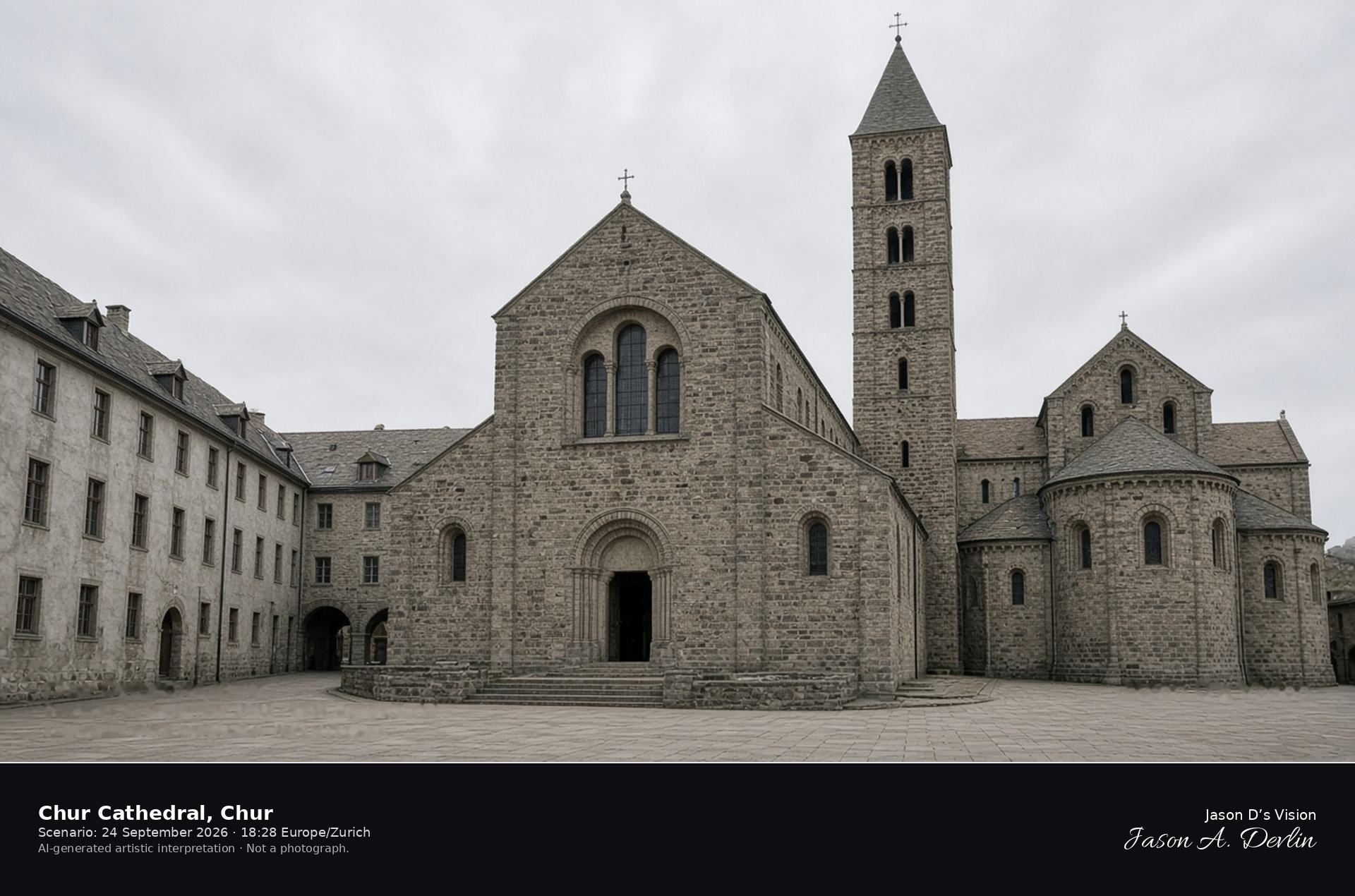
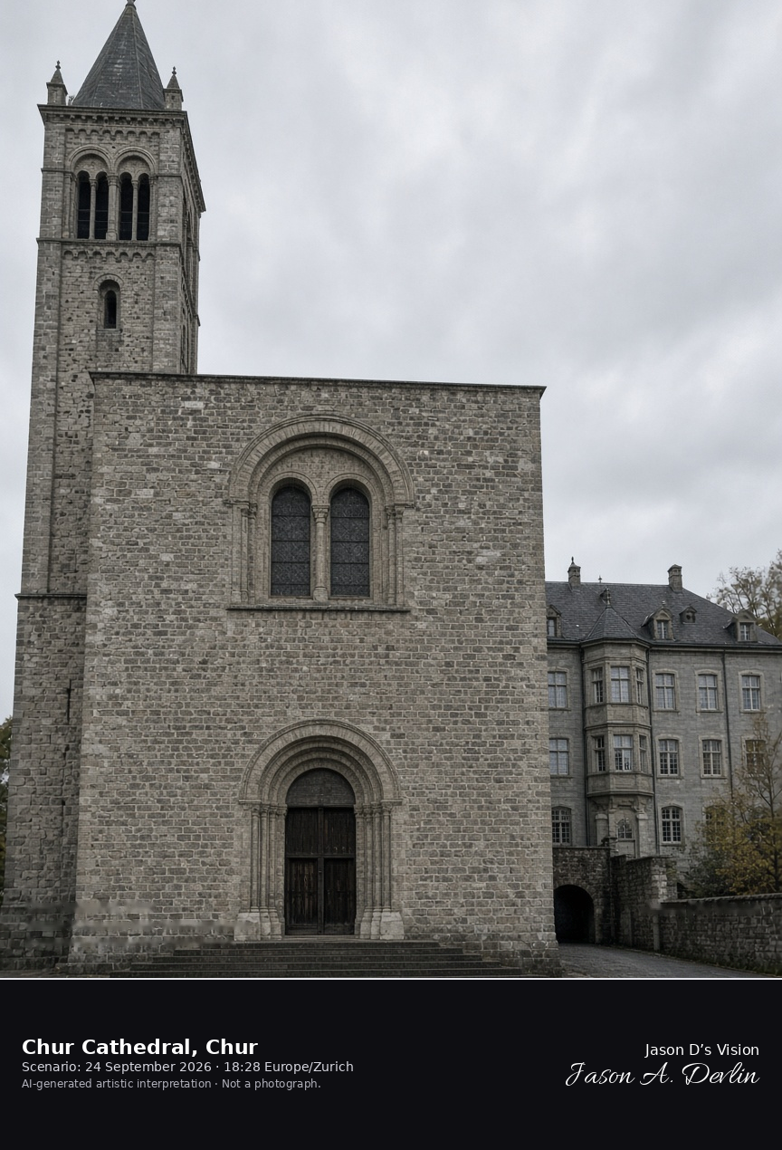
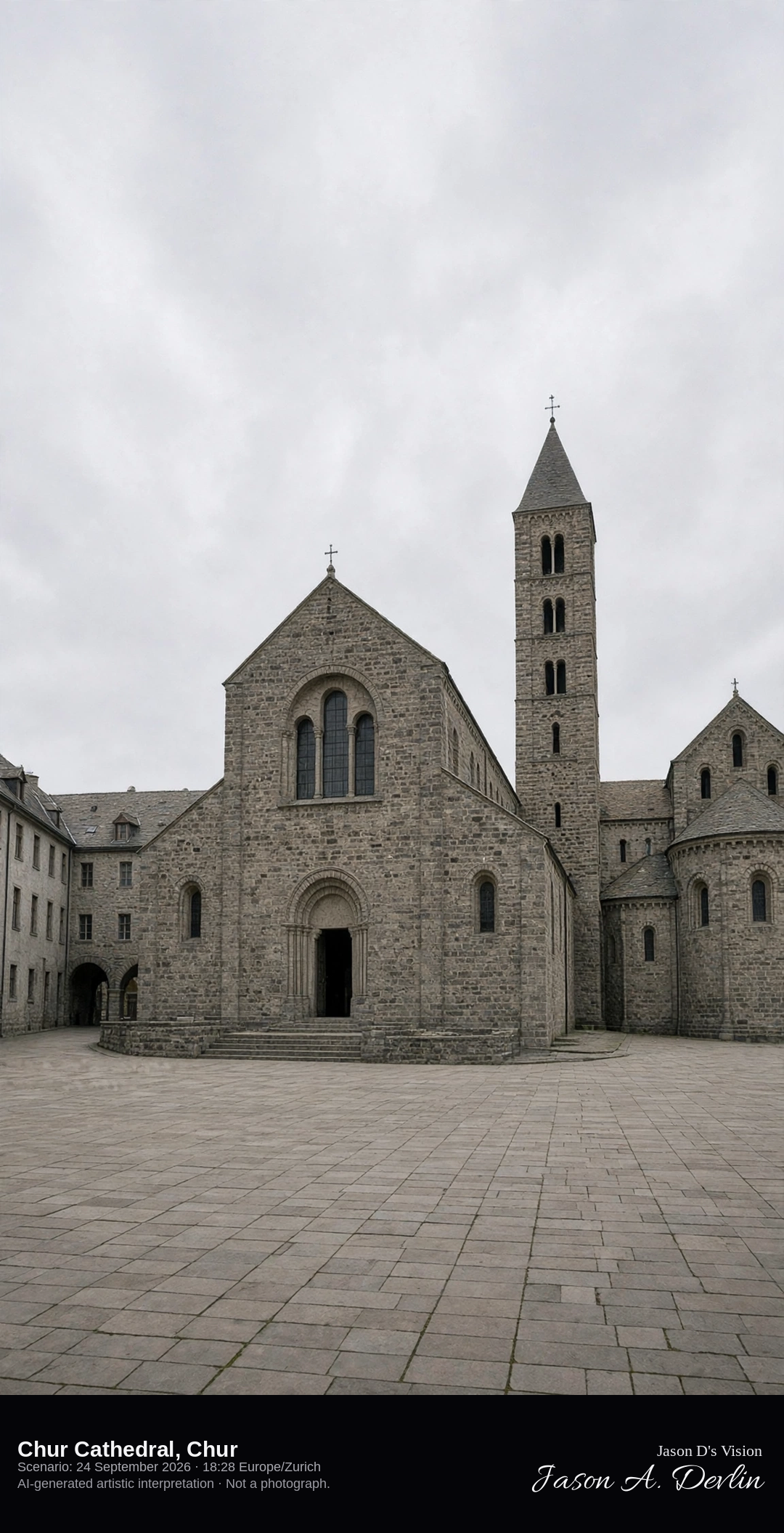
West front of Chur Cathedral in the Hof · AI-generated artistic interpretation
Chur Cathedral, dedicated to the Assumption, stands in the Hof beside the bishop's palace, apart from the old-town lane. The west front has a Romanesque portal and a large round-arched window, and the single bell tower rises on the north side, rebuilt after the 1811 fire. The Martinskirche street is a separate scene. The Open-Meteo model is fully overcast and mild, with a breeze and no rain.
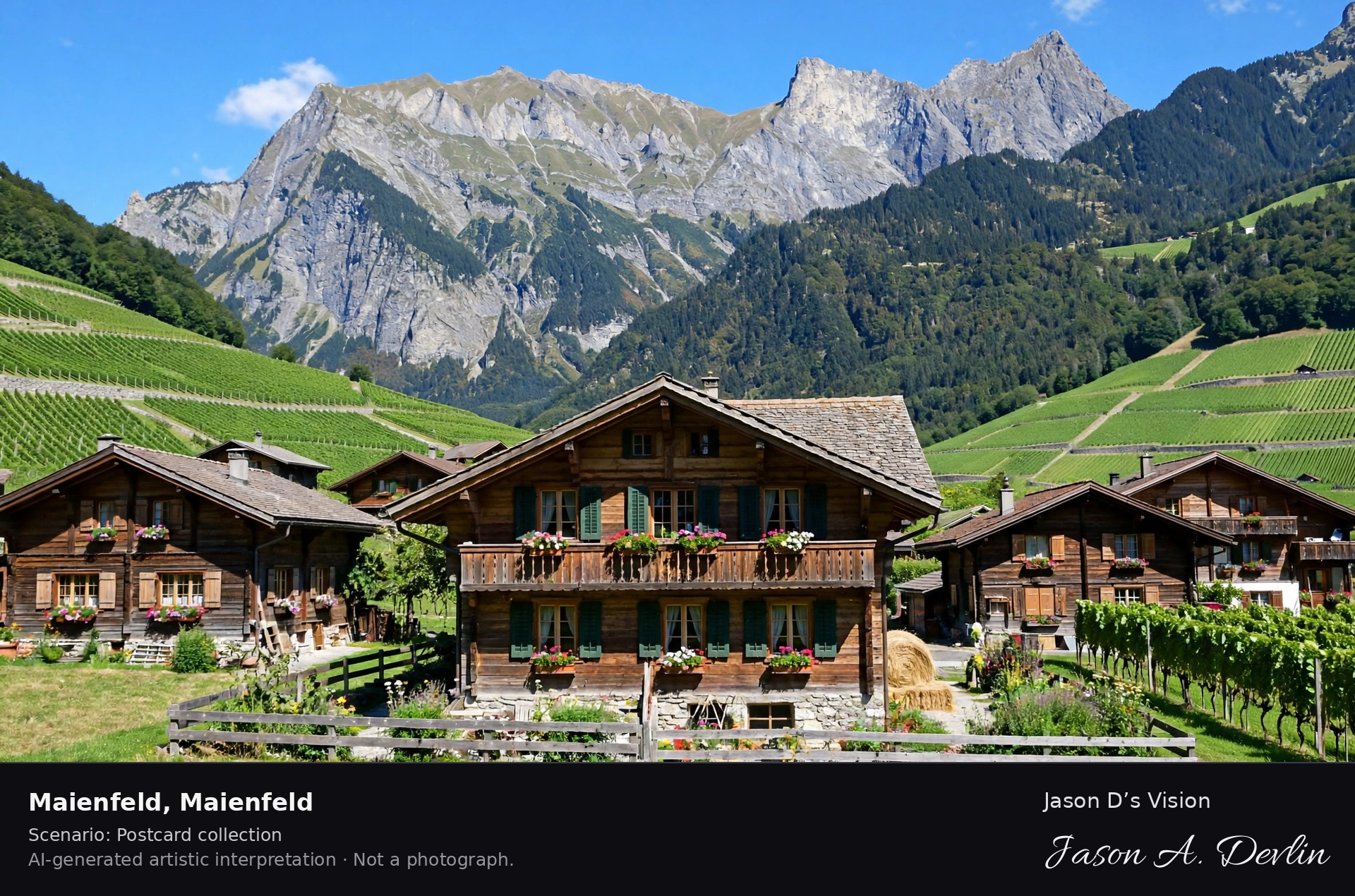
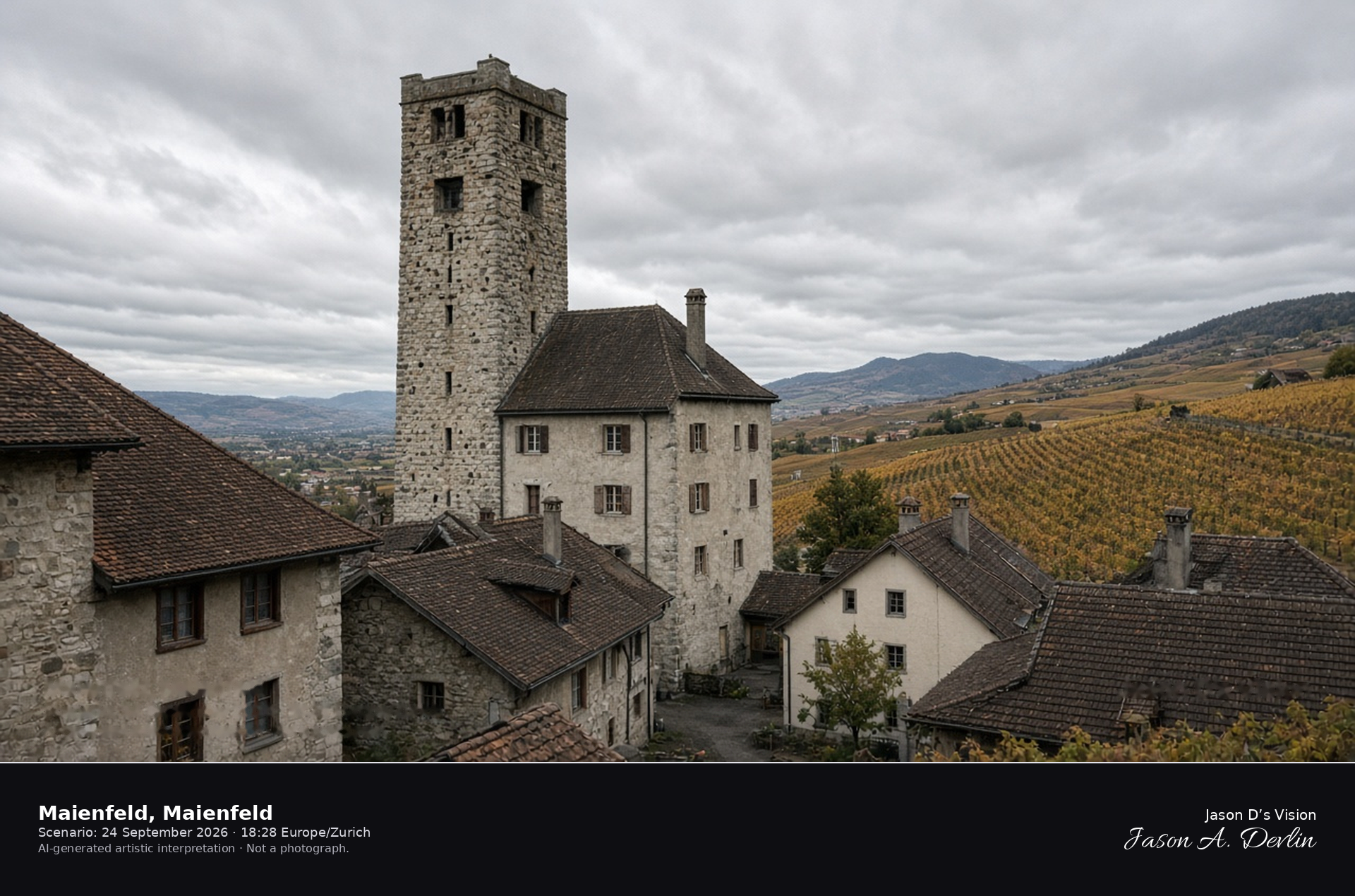
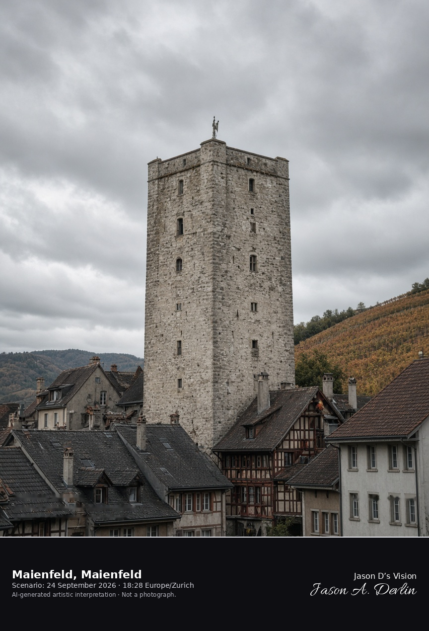
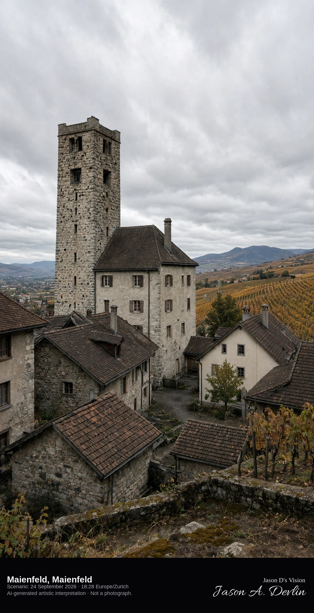
Schloss Brandis tower in the old town of Maienfeld · AI-generated artistic interpretation
Maienfeld's old town closes on Schloss Brandis, a square medieval tower on the south side of the walled centre in the Rhine valley. The frame is that street and tower. No character statue and no themed-village sign is shown. The Open-Meteo model is mild and breezy, with broken cloud and no rain.
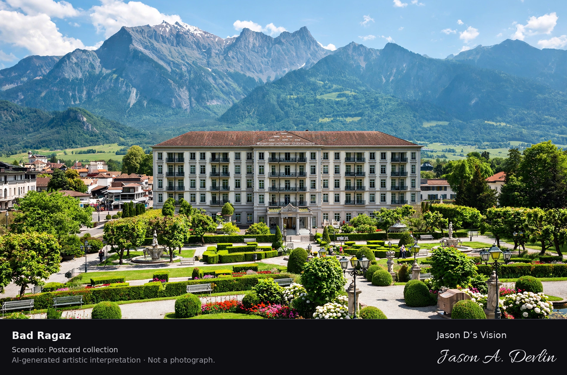
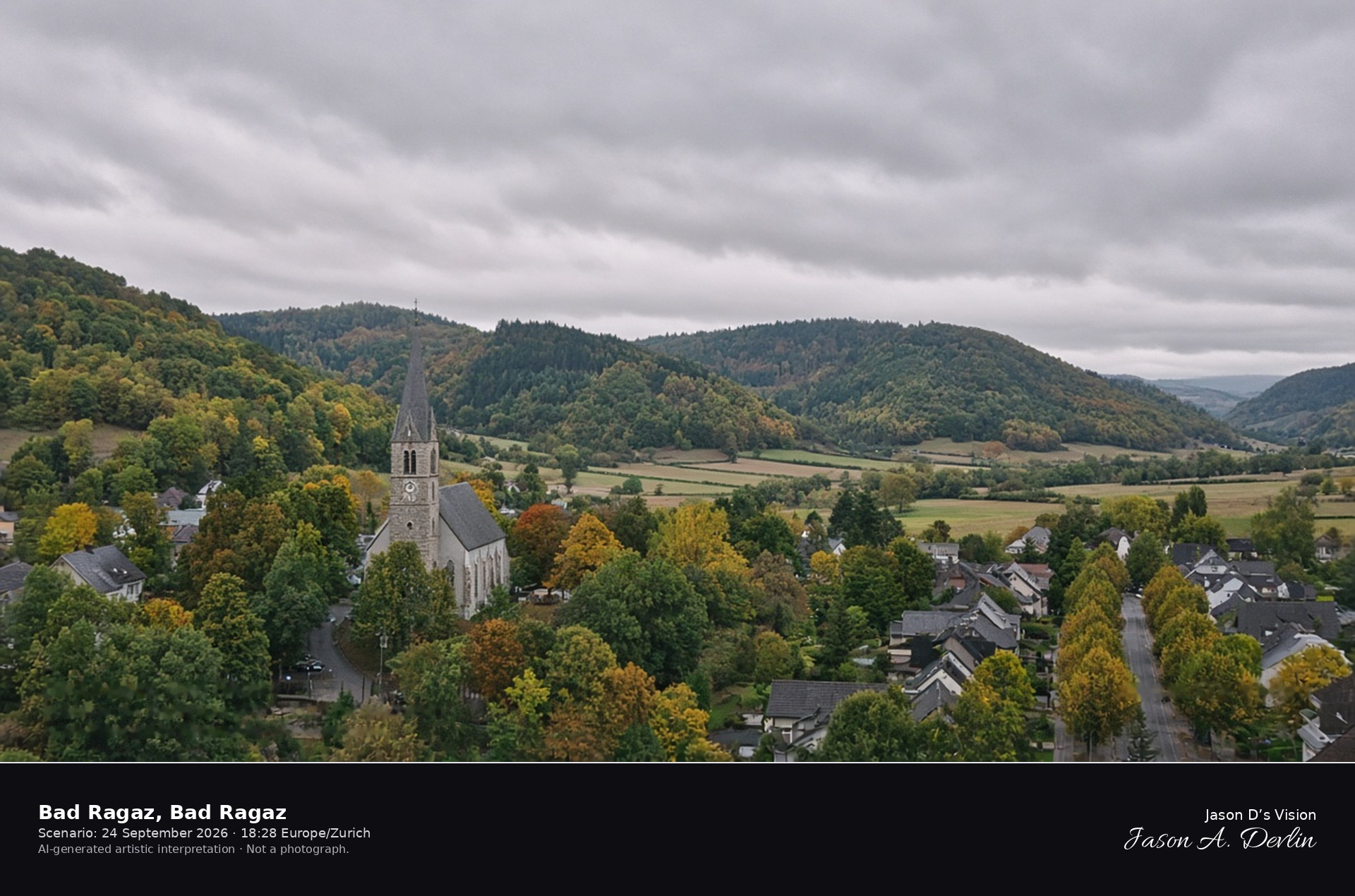
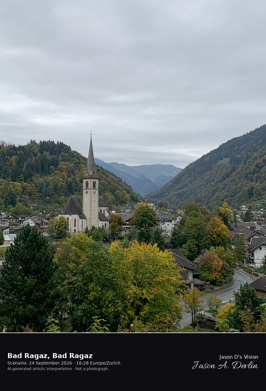
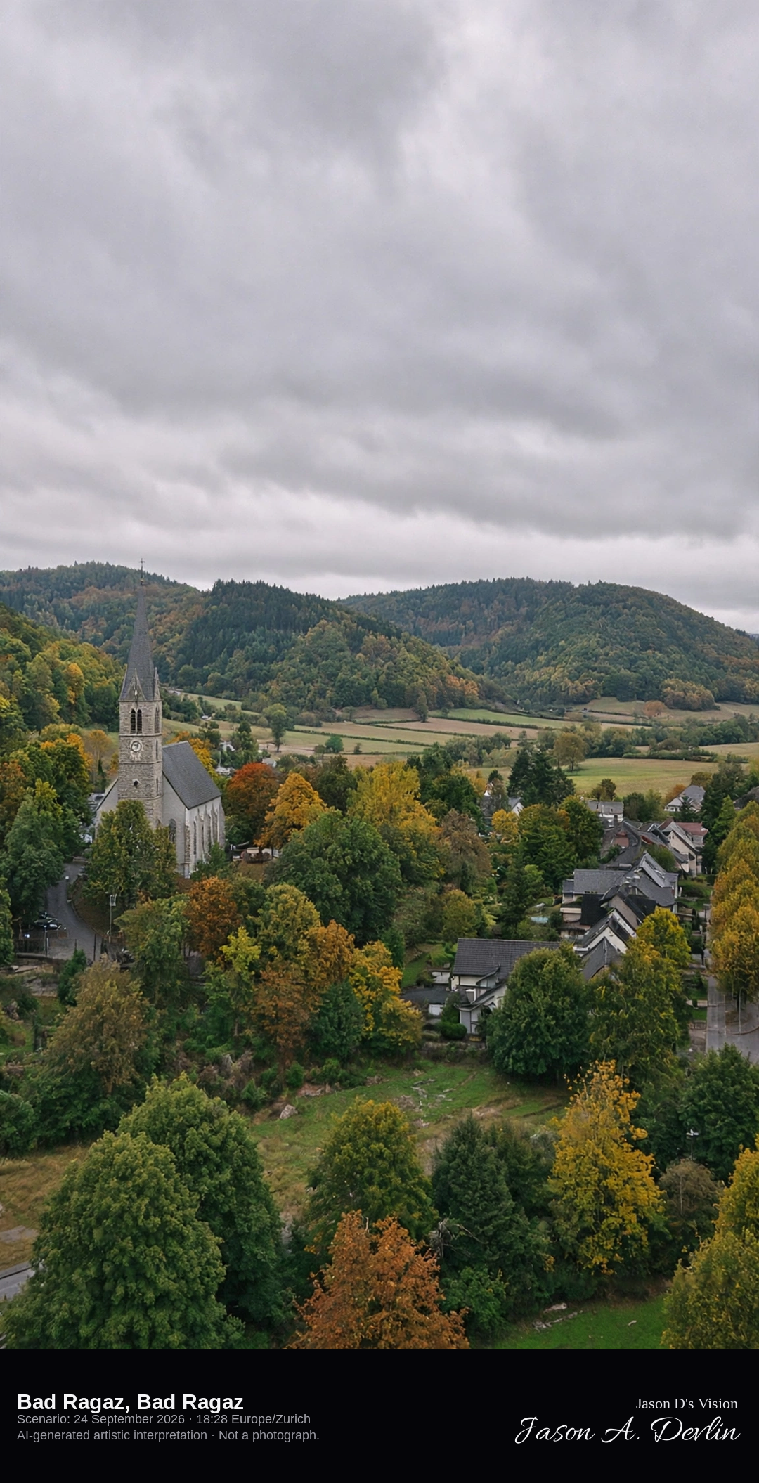
St. Pankraz and the valley streets of Bad Ragaz · AI-generated artistic interpretation
Bad Ragaz is the spa town on the Rhine-valley floor, with the church of St. Pankraz among the streets where the Tamina comes out of the hills. This is the town, not the gorge upstream. No hotel name is readable. The Open-Meteo model is fully overcast and mild, with no rain.
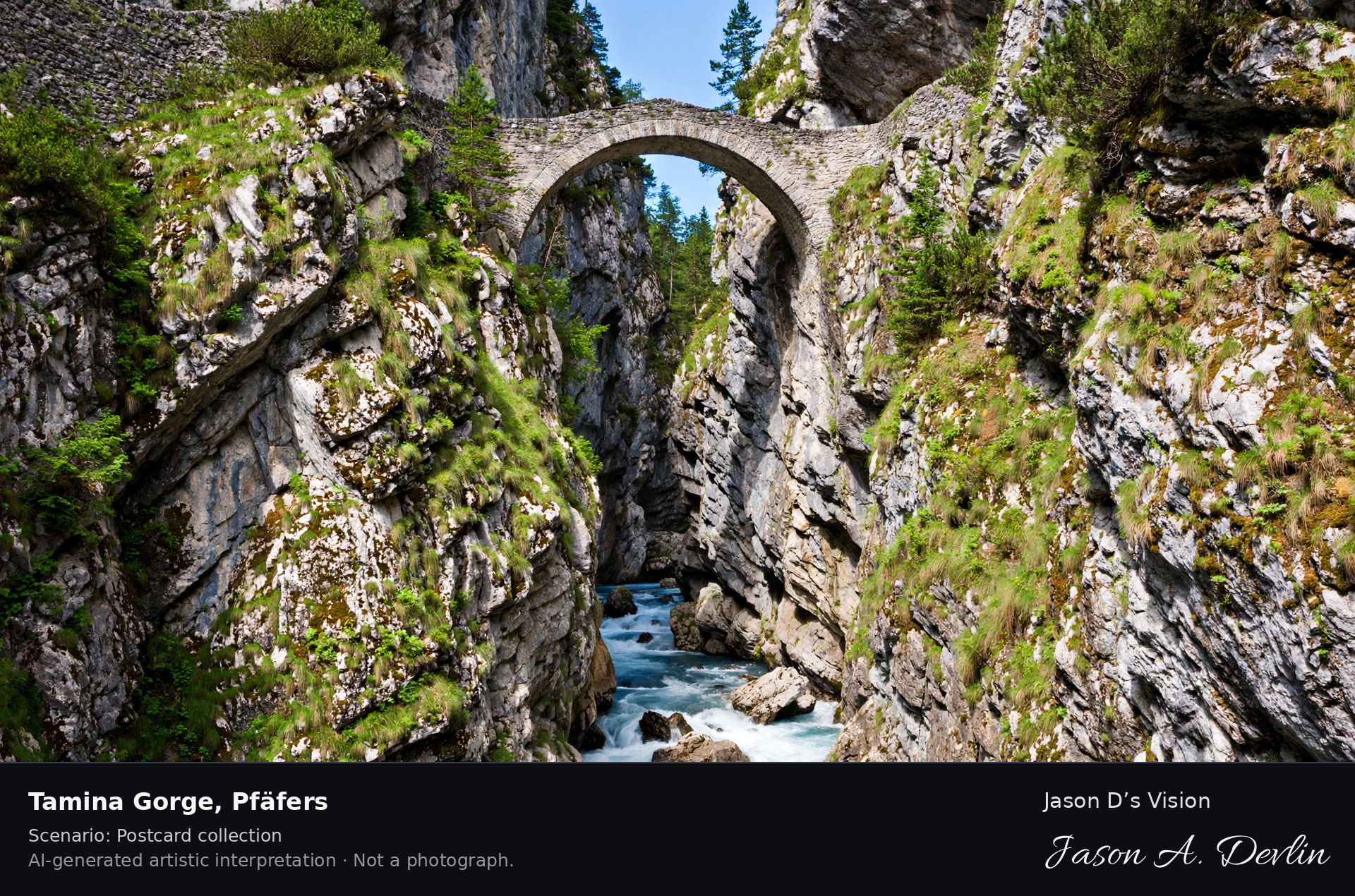
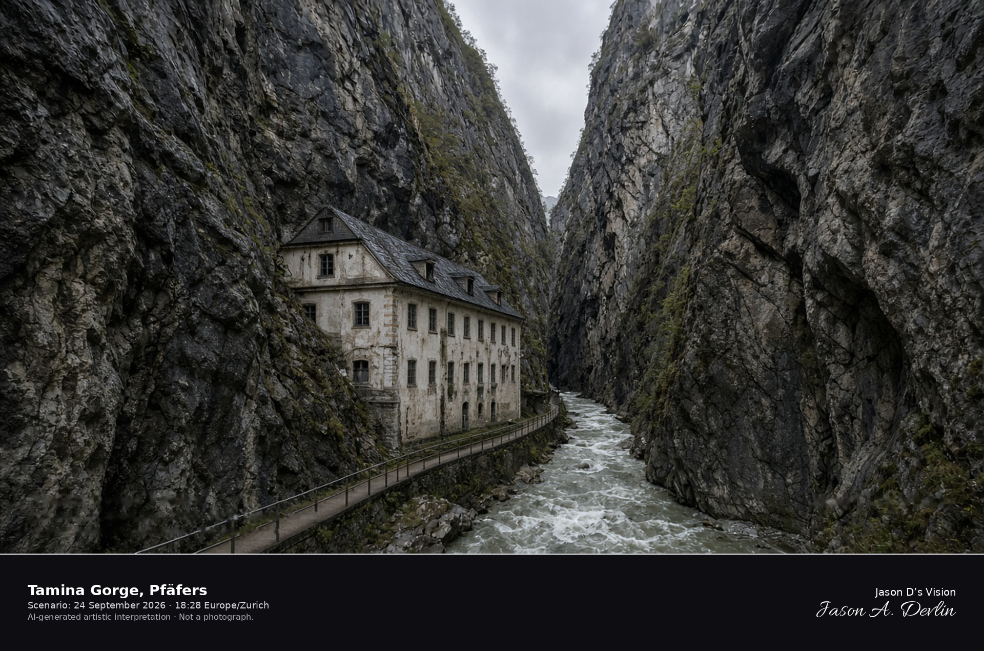
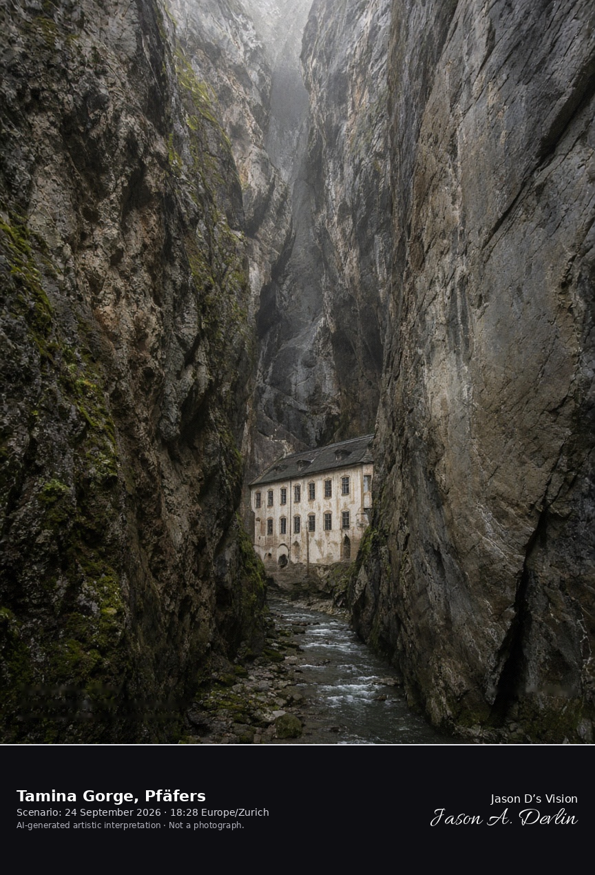
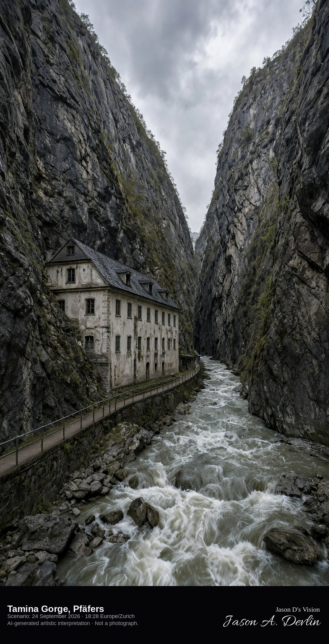
The Tamina Gorge and the Alte Bad at Pfäfers · AI-generated artistic interpretation
The Tamina Gorge is the narrow canyon of the Tamina in the municipality of Pfäfers, with rock walls closing overhead and the baroque Alte Bad at the entrance. Bad Ragaz, the spa town downstream, is a separate scene. The path is empty, and no sign is readable. The Open-Meteo model is overcast and cool, with a breeze and no rain.
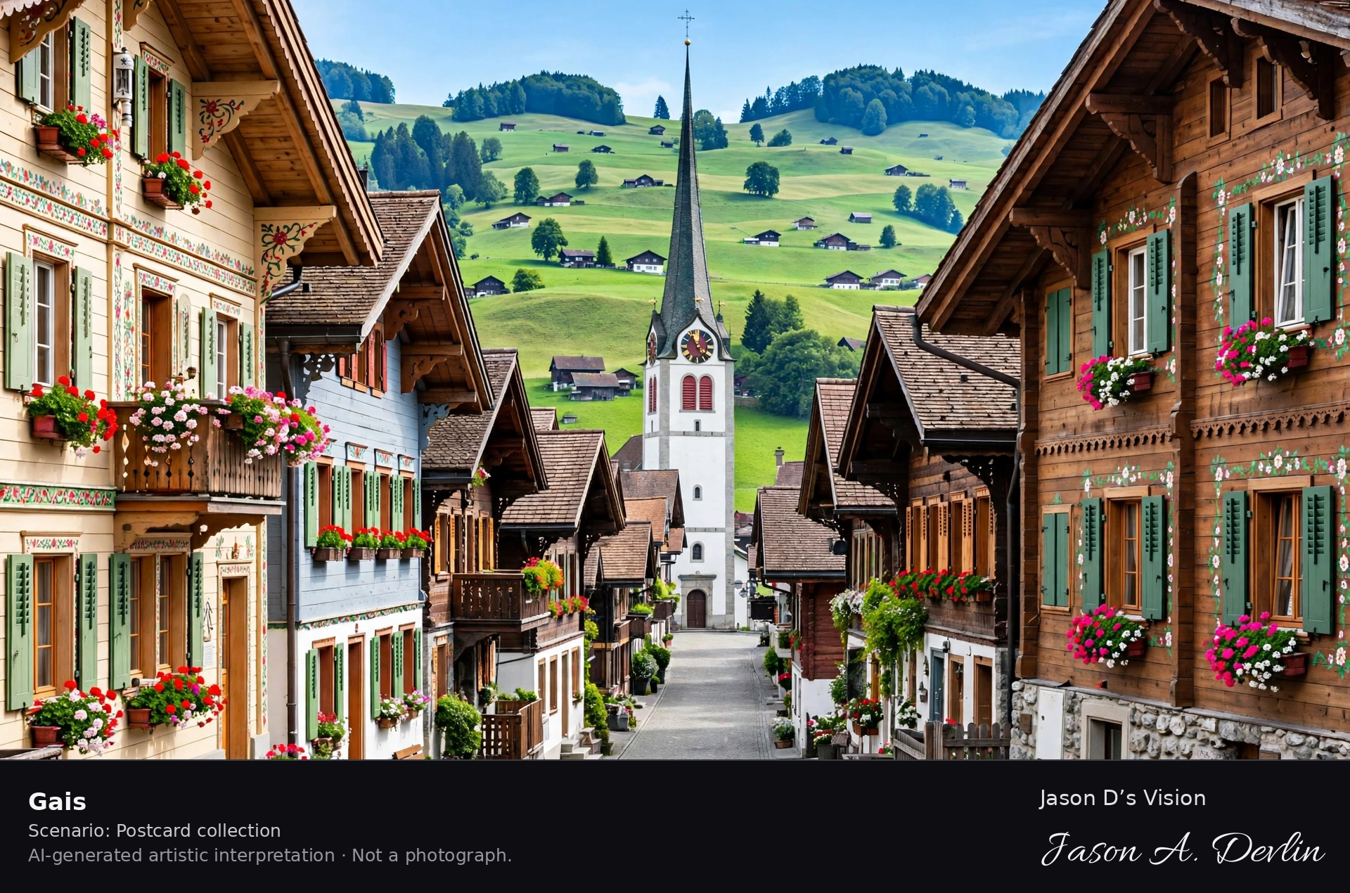
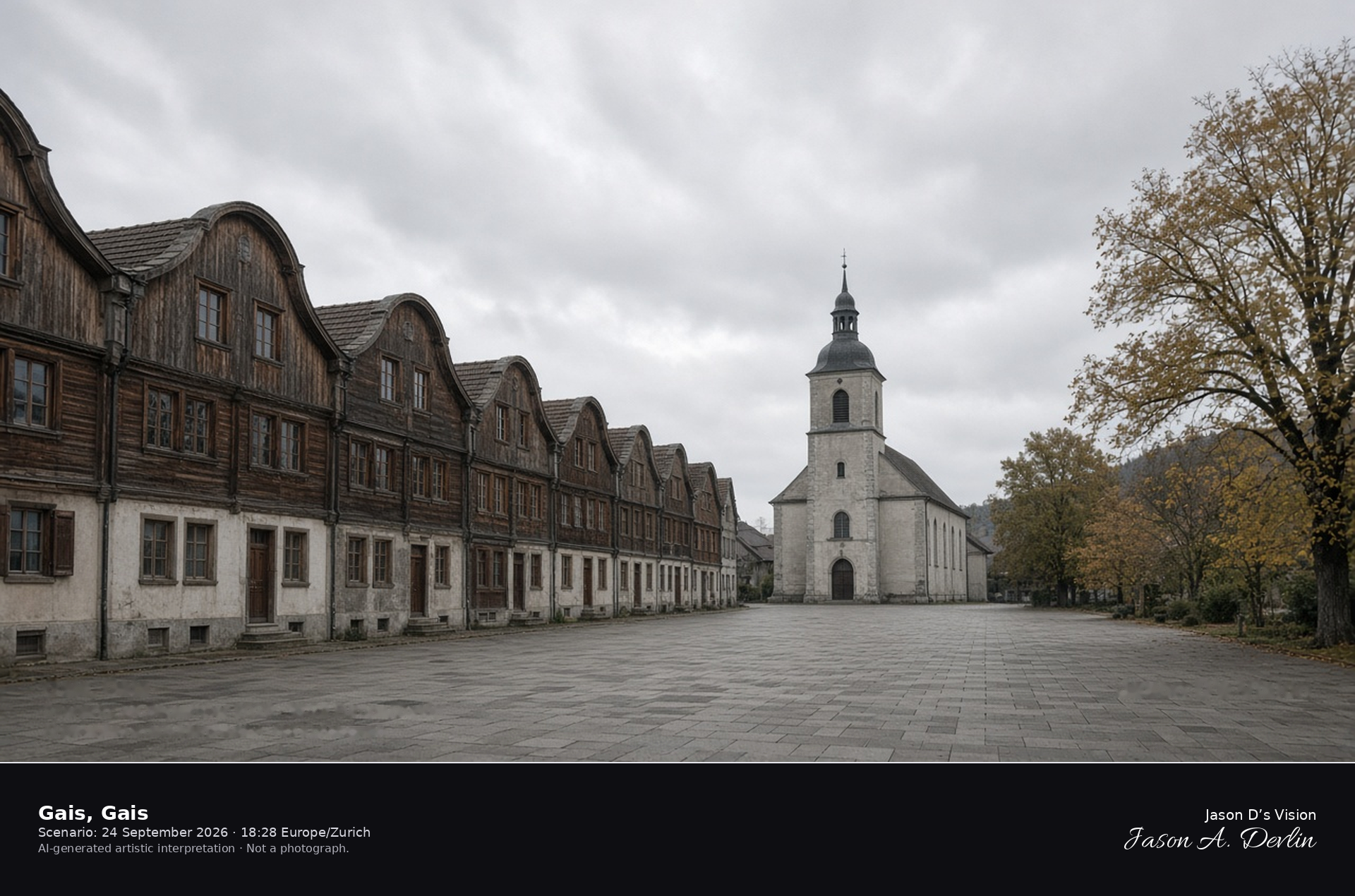
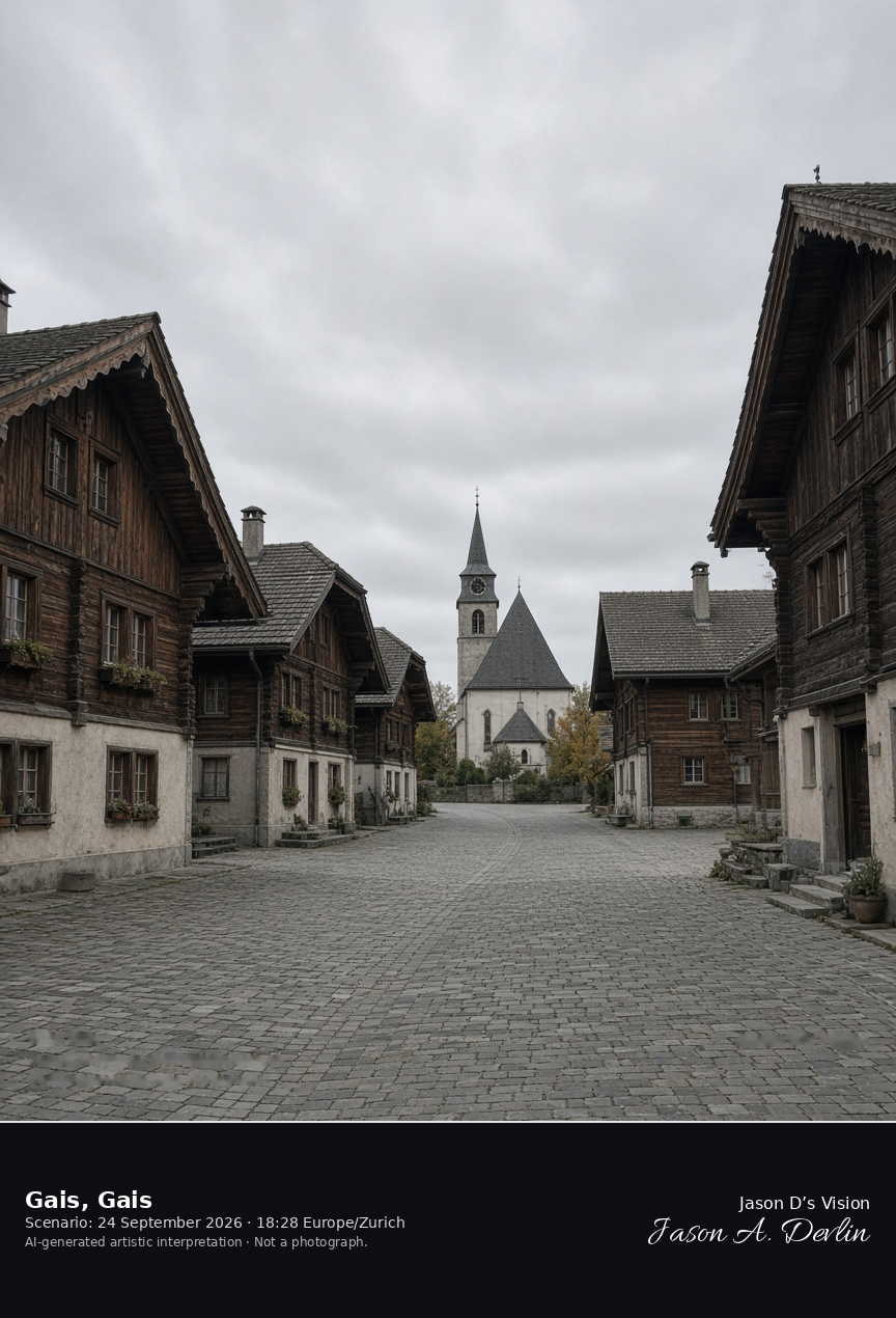
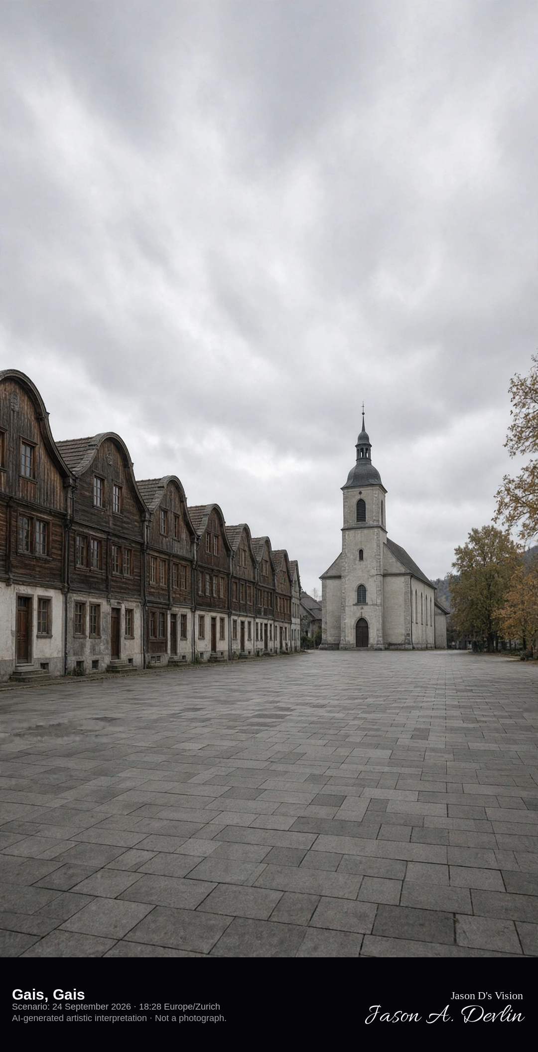
The Dorfplatz of wooden houses in Gais · AI-generated artistic interpretation
Gais is the Appenzell Ausserrhoden village rebuilt after the fire of 1780, and the Dorfplatz is a long square of wooden houses with curved gables and the church of 1782. The row is this village, not the painted square of Appenzell and not the stone palaces of Trogen. The September square is empty. The Open-Meteo model is fully overcast and cool, with a breeze and no rain.
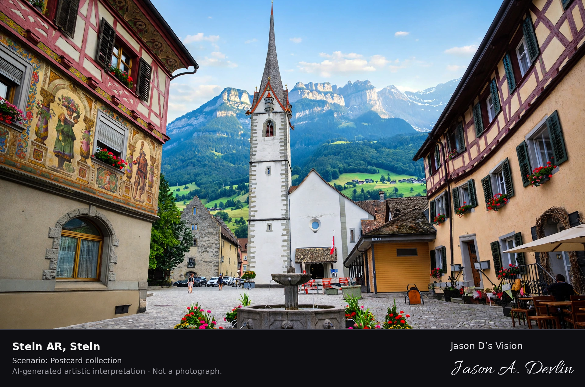
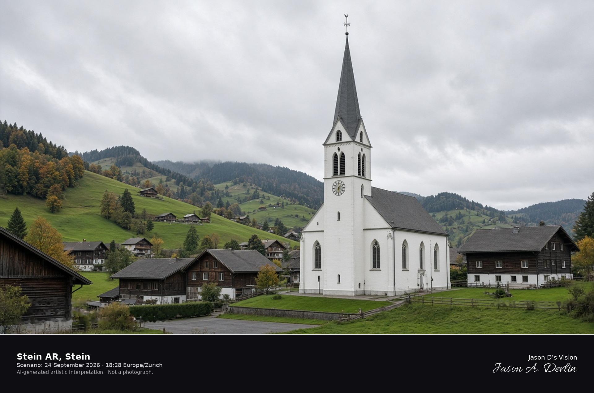
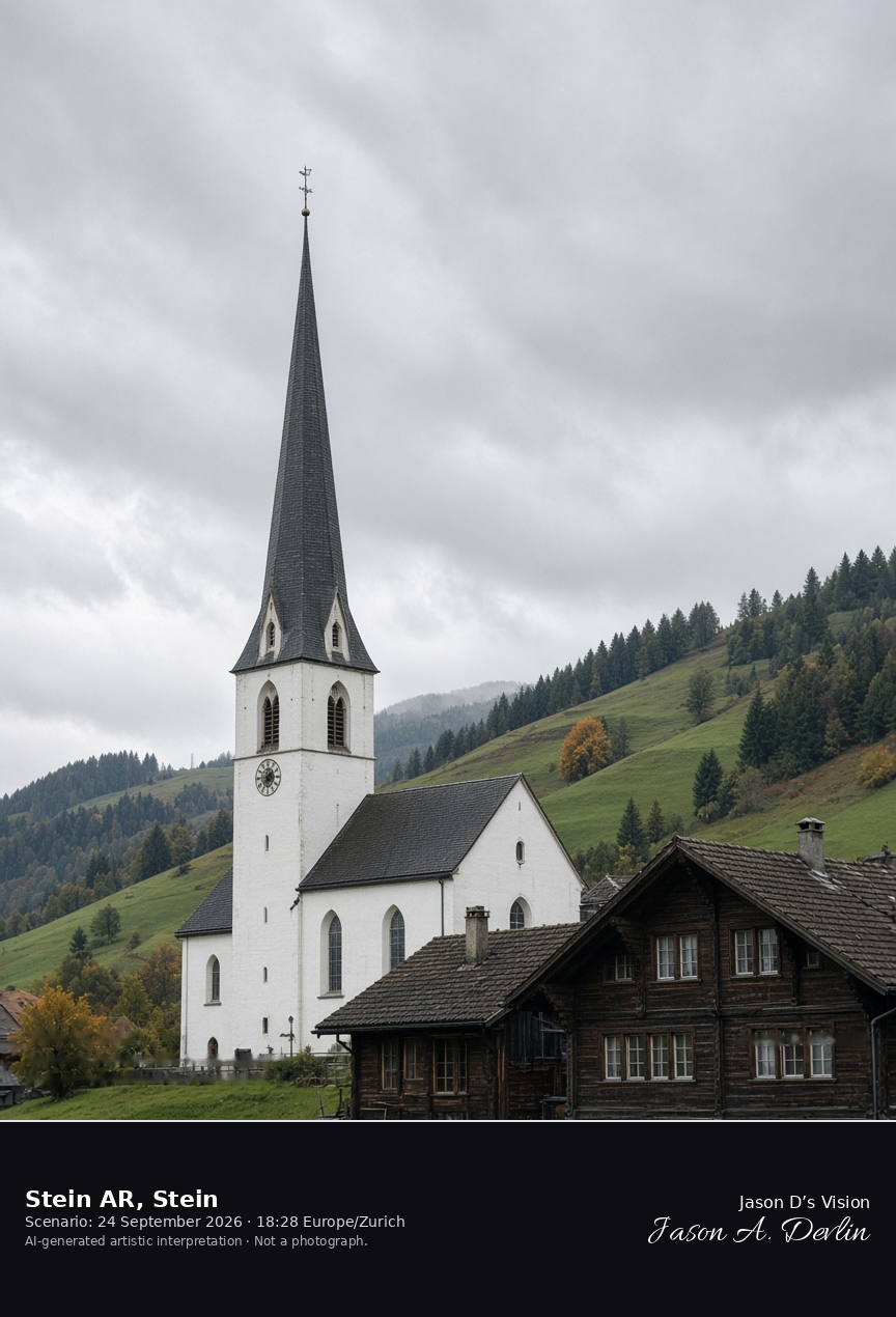
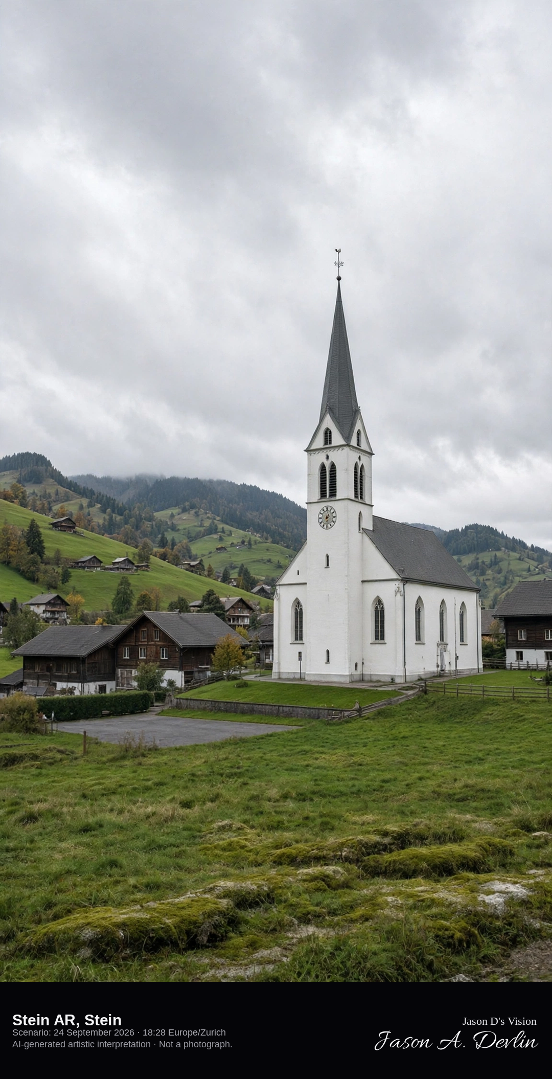
The Grubenmann church in Stein, Appenzell Ausserrhoden · AI-generated artistic interpretation
Stein is the Appenzell Ausserrhoden village between the Sitter and the Urnäsch. The frame is the reformed church of 1749 by Jakob and Hans Ulrich Grubenmann, with its tall pointed tower, among wooden houses. This is not Stein am Rhein, and no interior painting is shown. The Open-Meteo model is fully overcast and mild, with no rain.
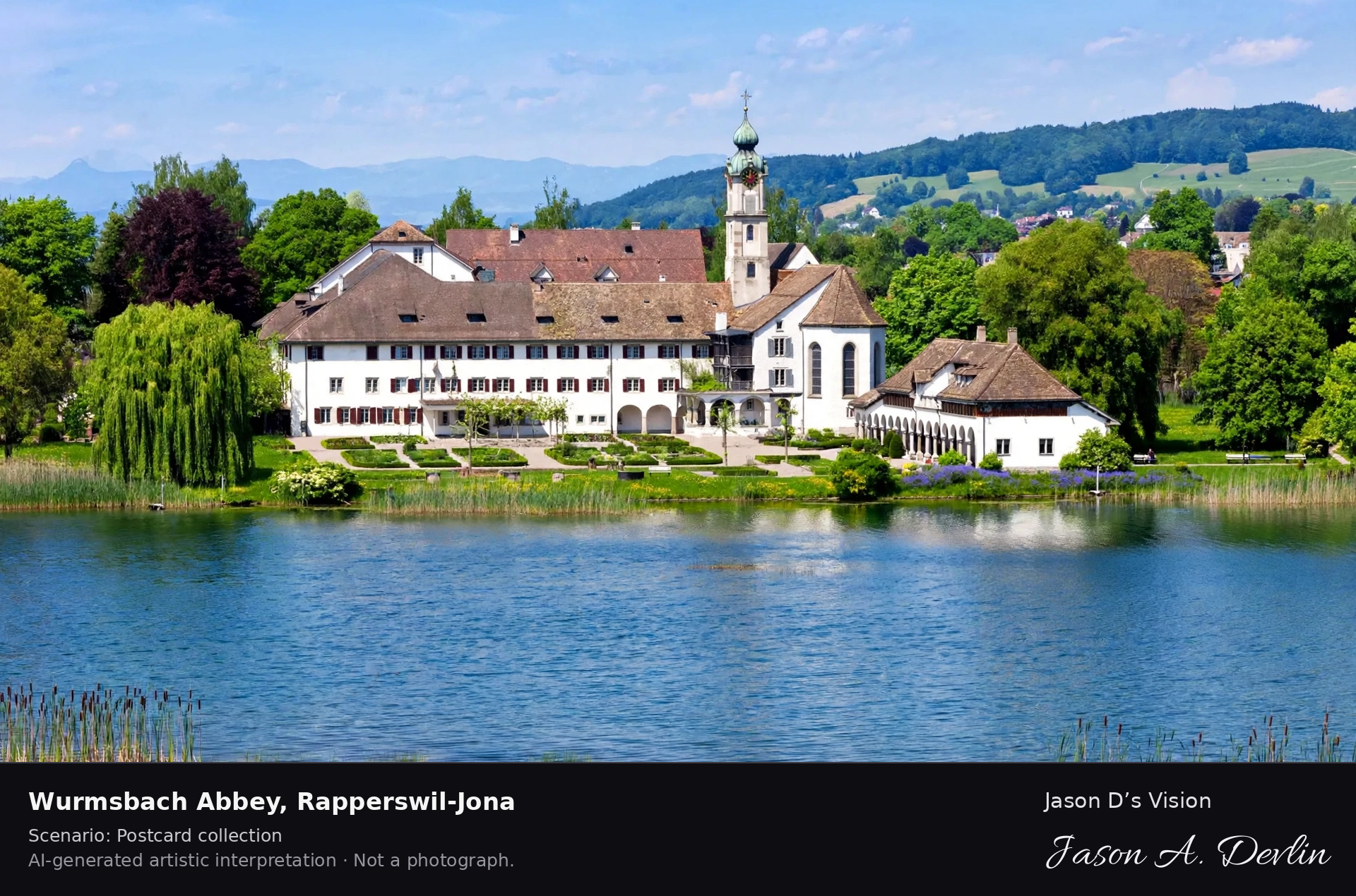
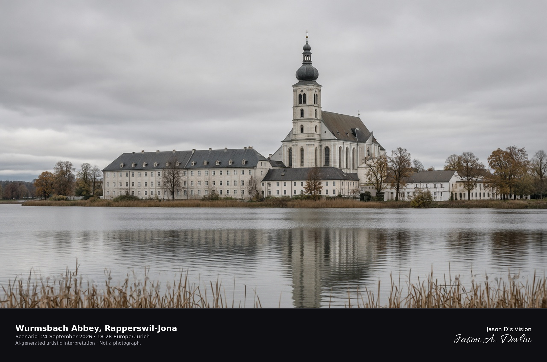
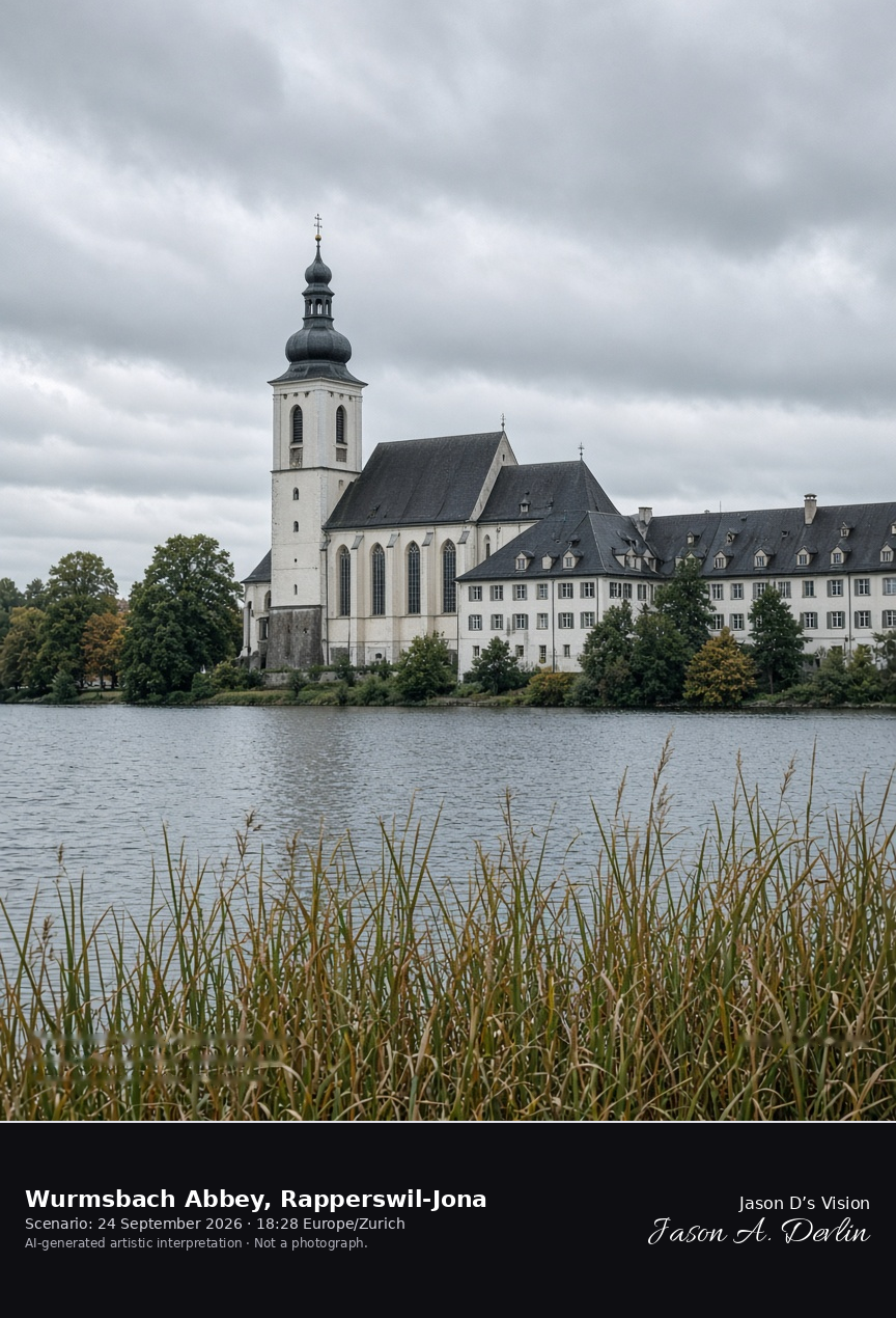
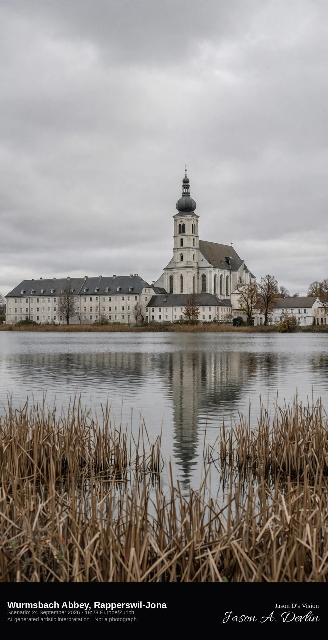
Wurmsbach Abbey on the upper Lake Zurich · AI-generated artistic interpretation
Wurmsbach Abbey is the Cistercian convent on the north shore of the upper Lake Zurich, in the Bollingen locality of Rapperswil-Jona. The church and its onion-domed tower stand among the convent roofs at the water, with a reed shore in front. Rapperswil Castle is not in this frame. The Open-Meteo model is fully overcast and mild, with a light breeze and no rain.
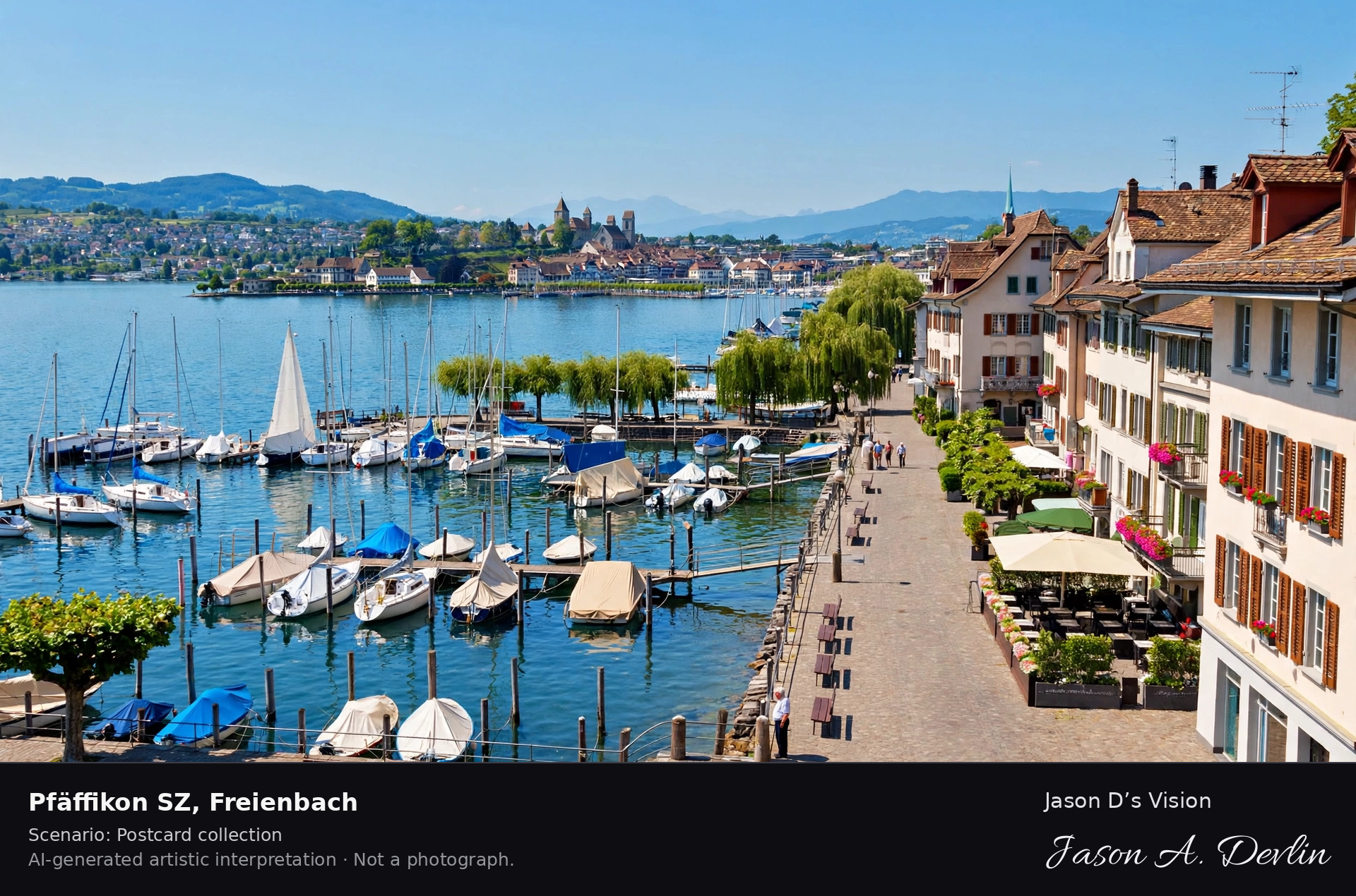
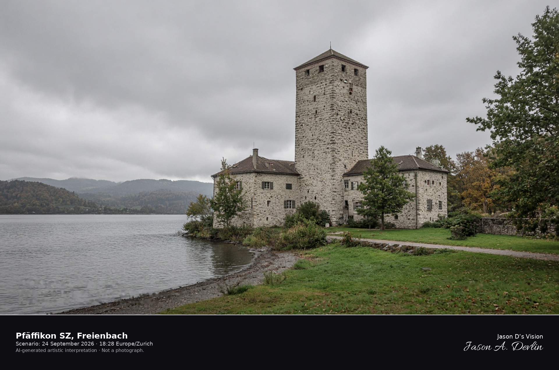
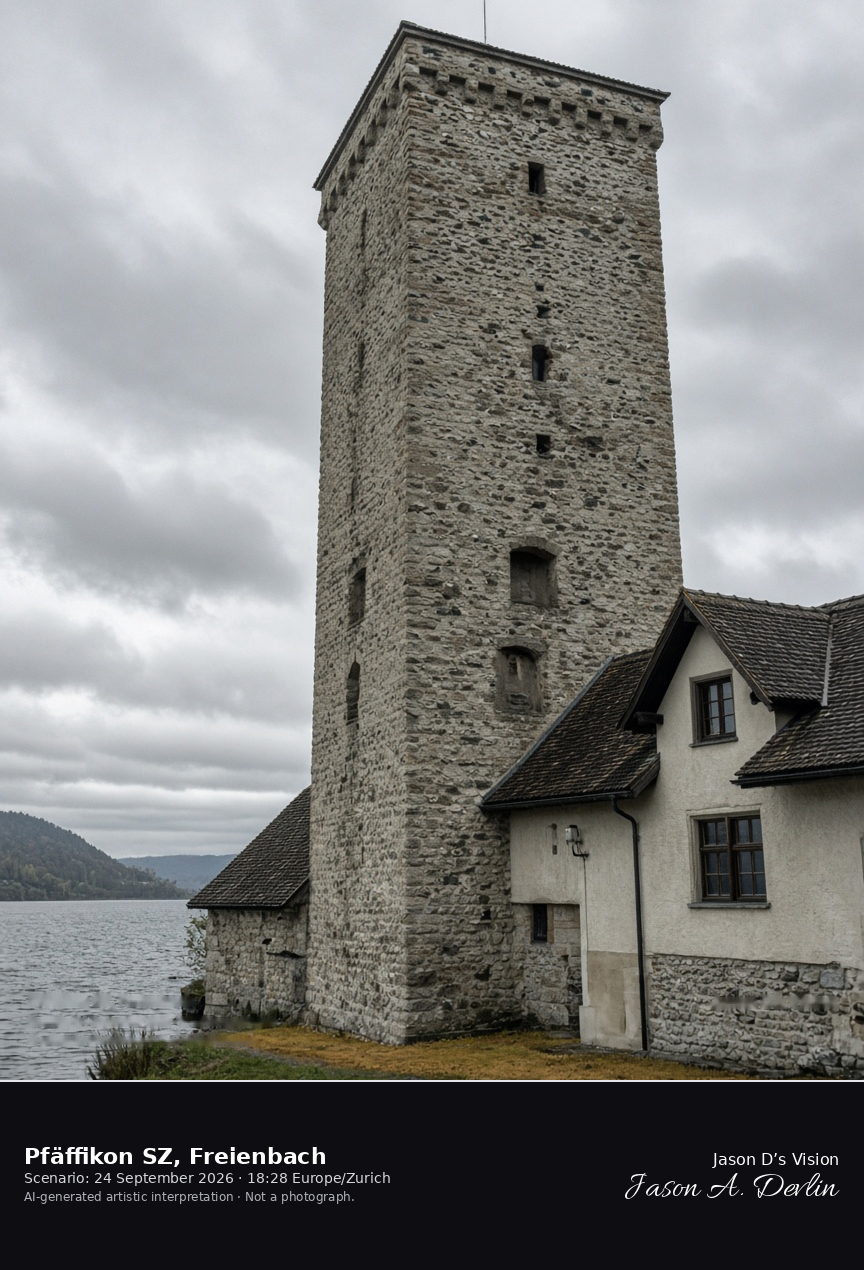
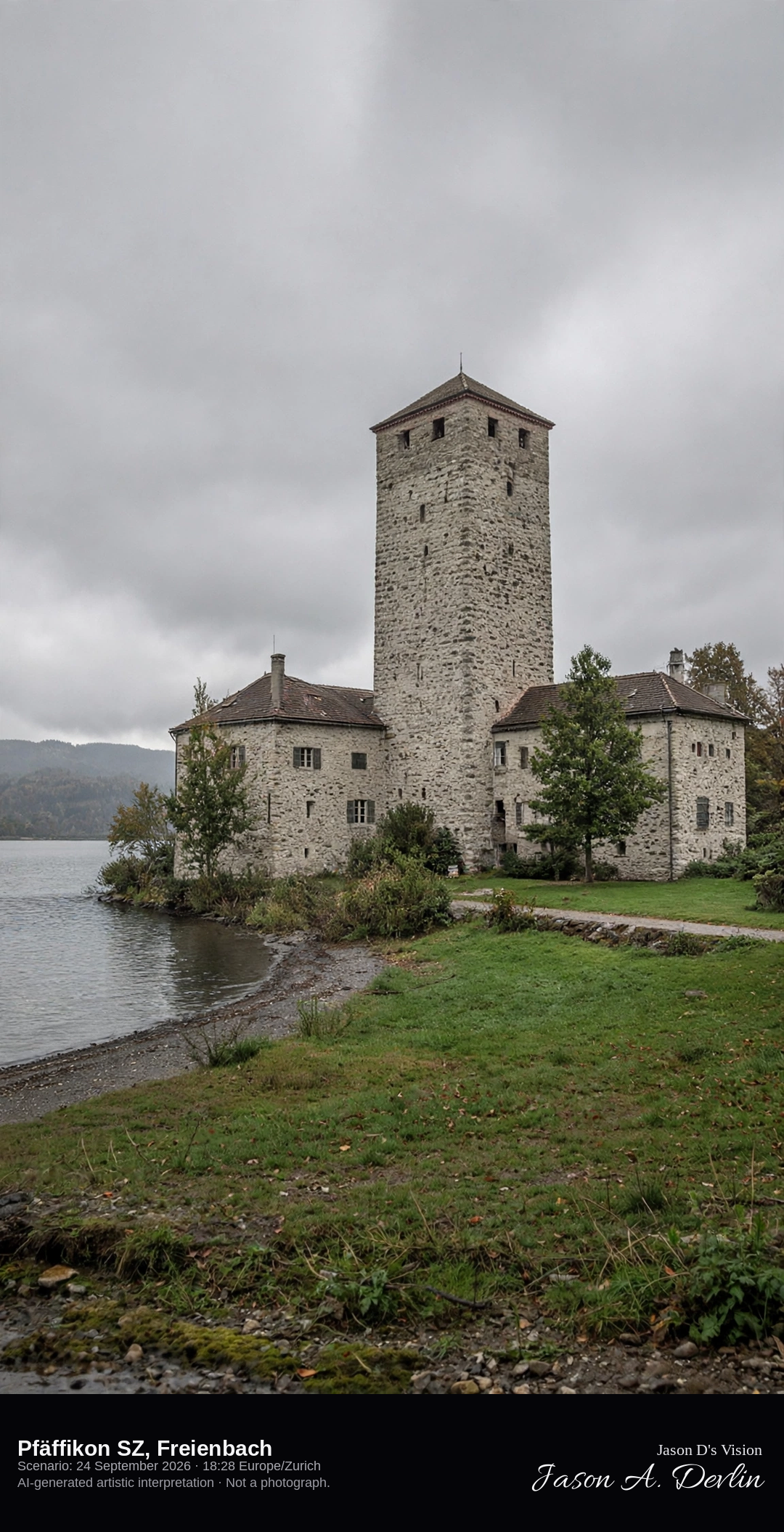
Schloss Pfäffikon on the lake in Pfäffikon SZ · AI-generated artistic interpretation
Pfäffikon SZ is the lakeside town in the municipality of Freienbach, on the upper Lake Zurich, and the square tower of Schloss Pfäffikon stands in the Unterdorf by the water. This is the Schwyz town, not Pfäffikon in the canton of Zurich. The Seedamm and Rapperswil stay out of the subject. The Open-Meteo model is fully overcast and mild, with no rain.
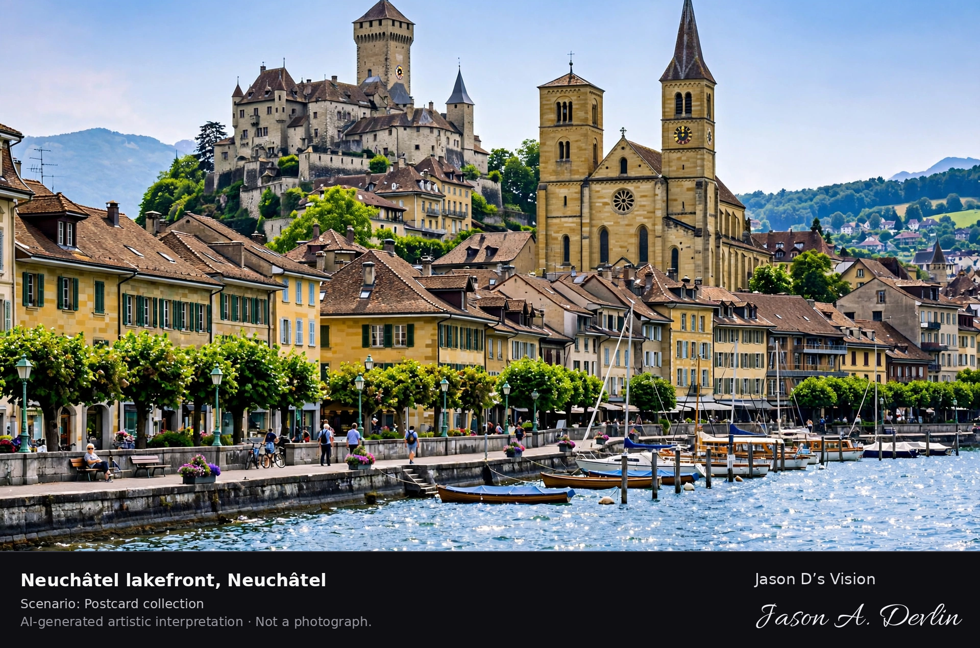
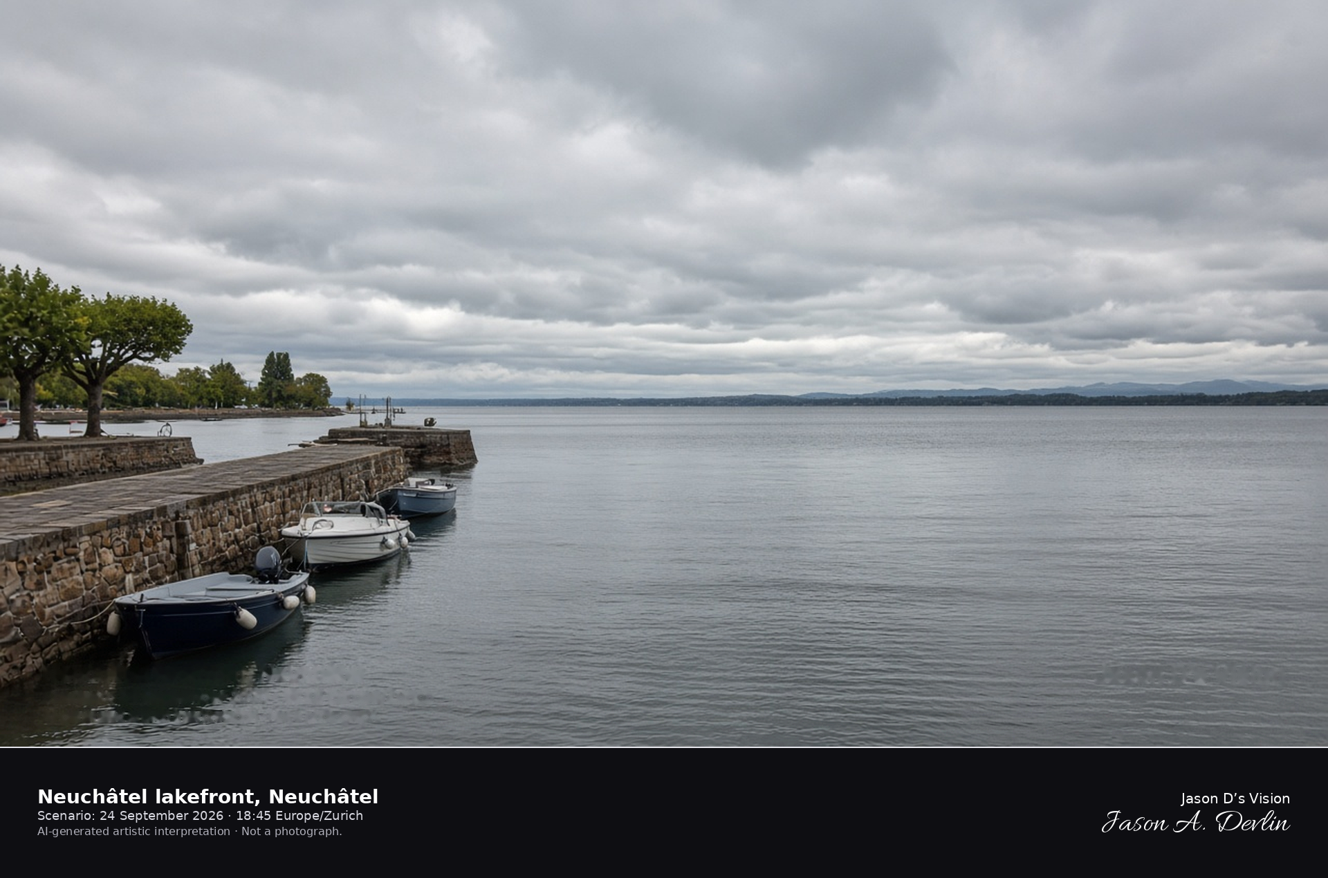
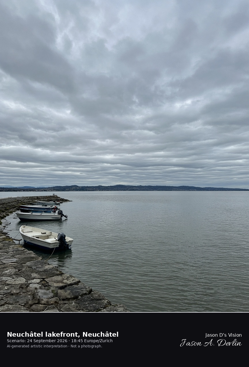
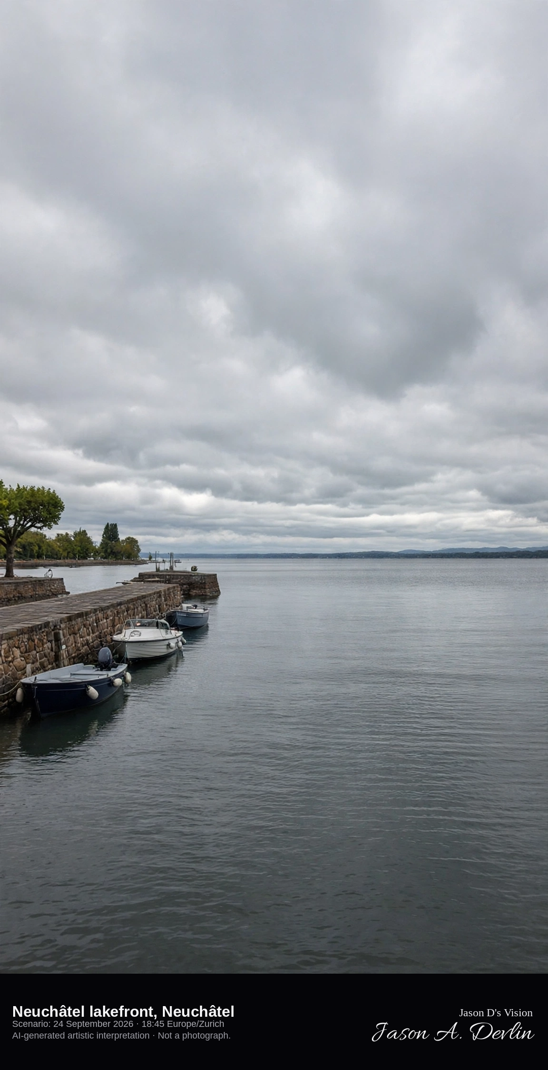
Port of Neuchâtel looking southwest along the open lake · AI-generated artistic interpretation
The Port of Neuchâtel opens onto Lake Neuchâtel, and this frame looks southwest from the outer quay along the water, with the stone mole and a few moored boats in the foreground. The château and the old town sit behind the camera, so this is the lakefront rather than the hilltop already catalogued. The Open-Meteo model is fully overcast and mild, with no rain, and the late sun is already low in the west.
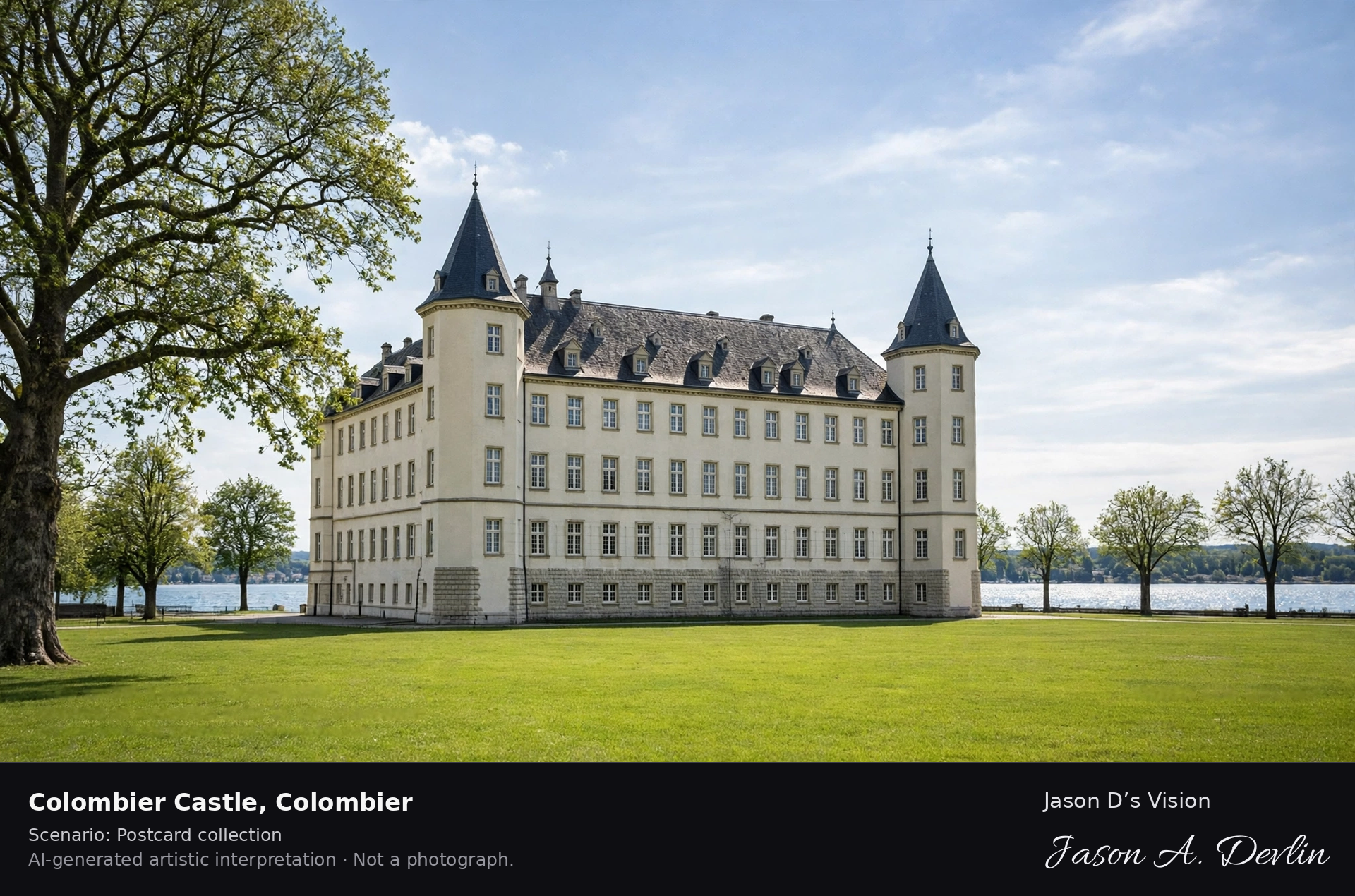
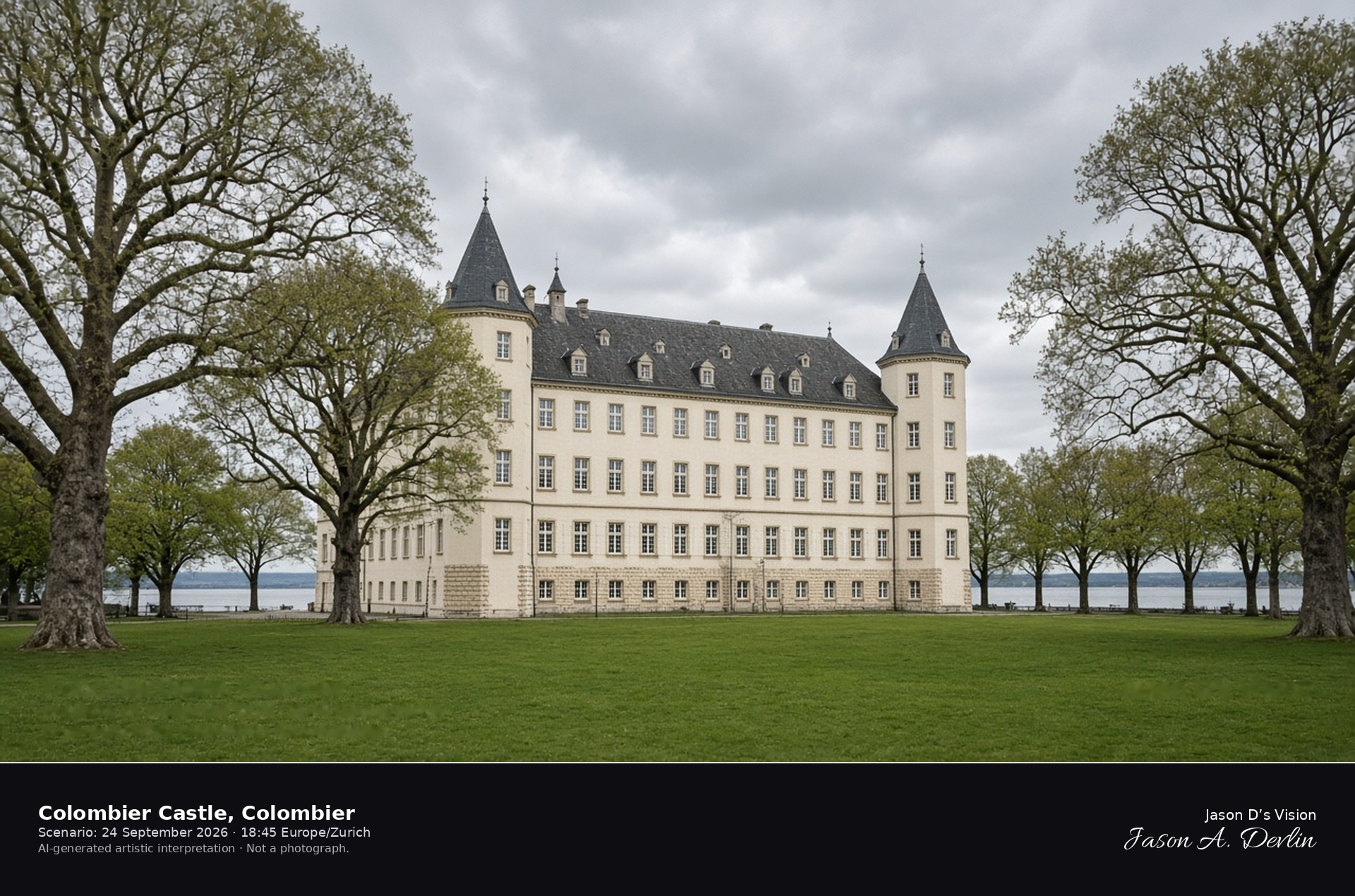
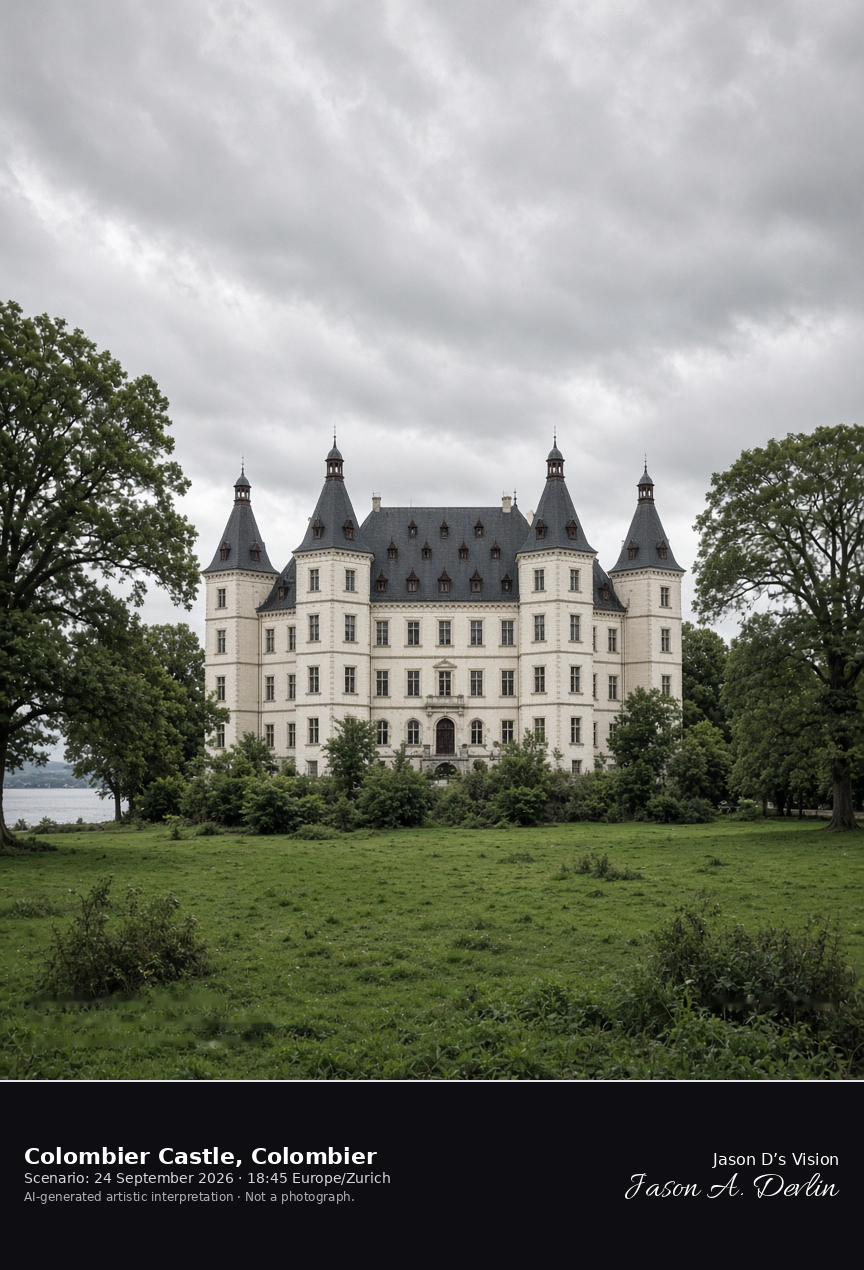
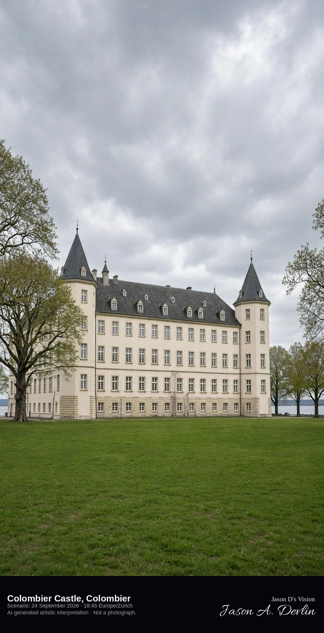
South facade of Colombier Castle across its park · AI-generated artistic interpretation
Colombier Castle is the large cream-white palace-castle in the town of Colombier, now part of Milvignes, with a long south facade, steep roofs, and square corner towers standing in a park. The lake shows beyond the trees, and the building is not the hilltop château of Neuchâtel. The Open-Meteo model is fully overcast and mild, with soft light and no rain.
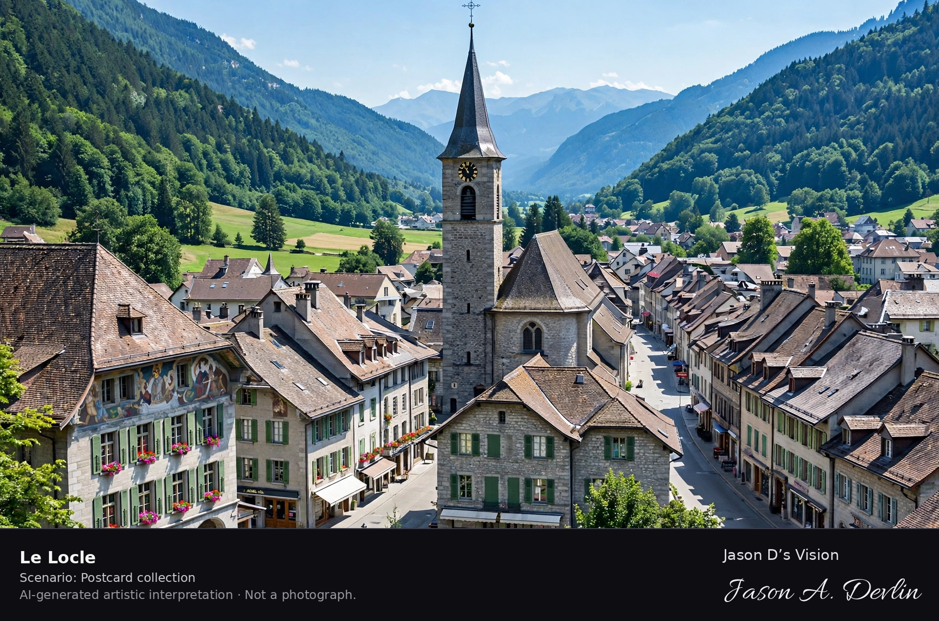
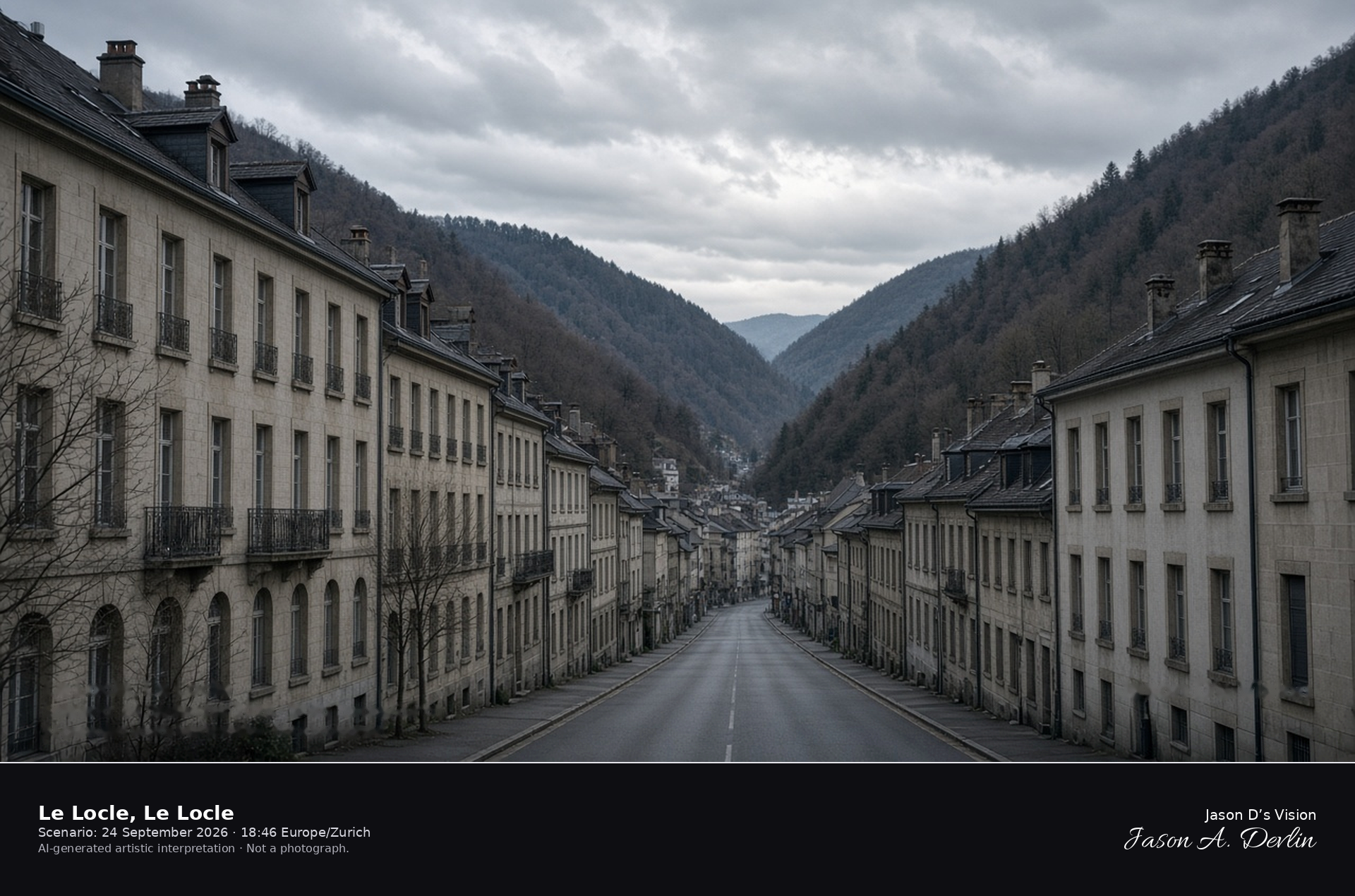
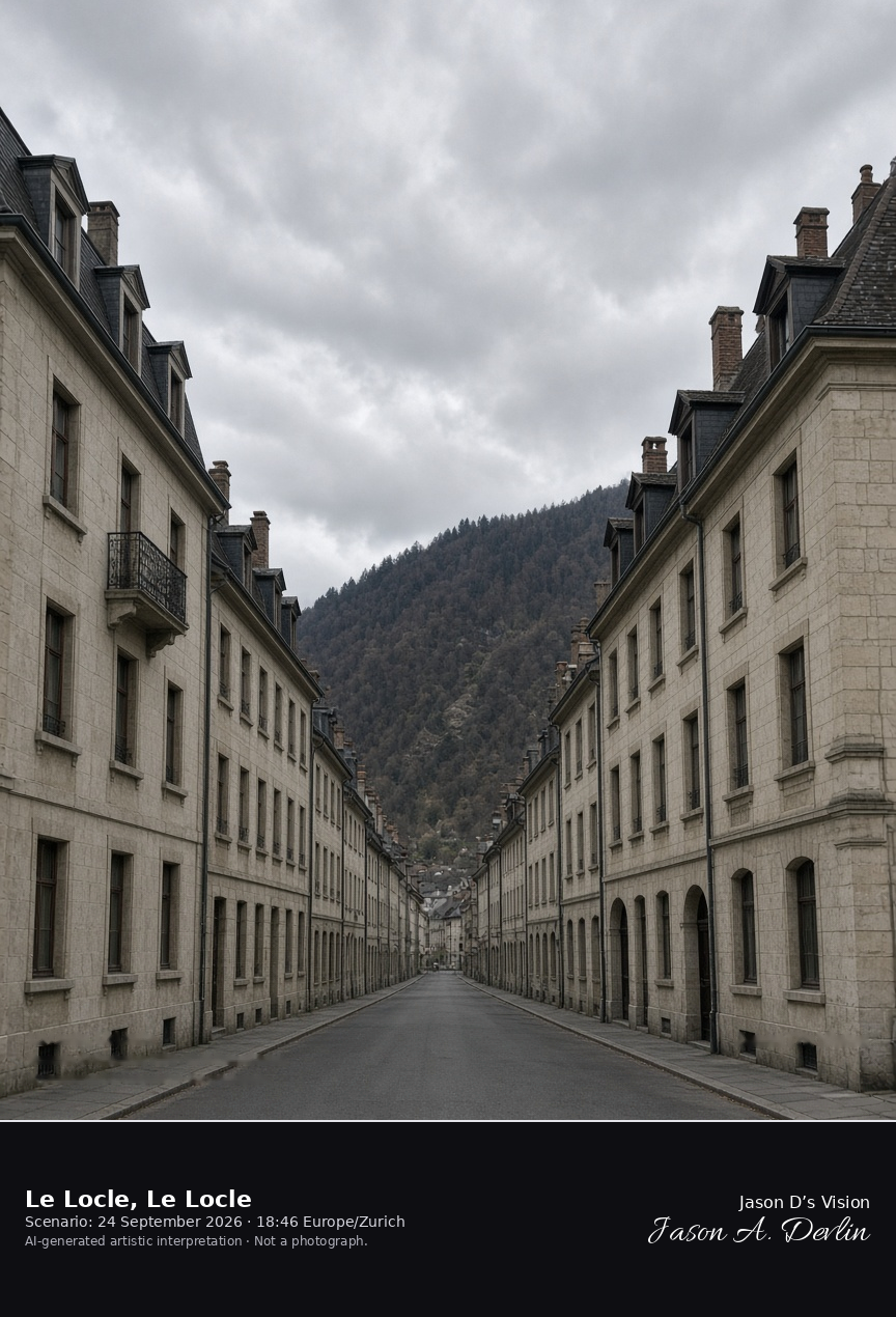
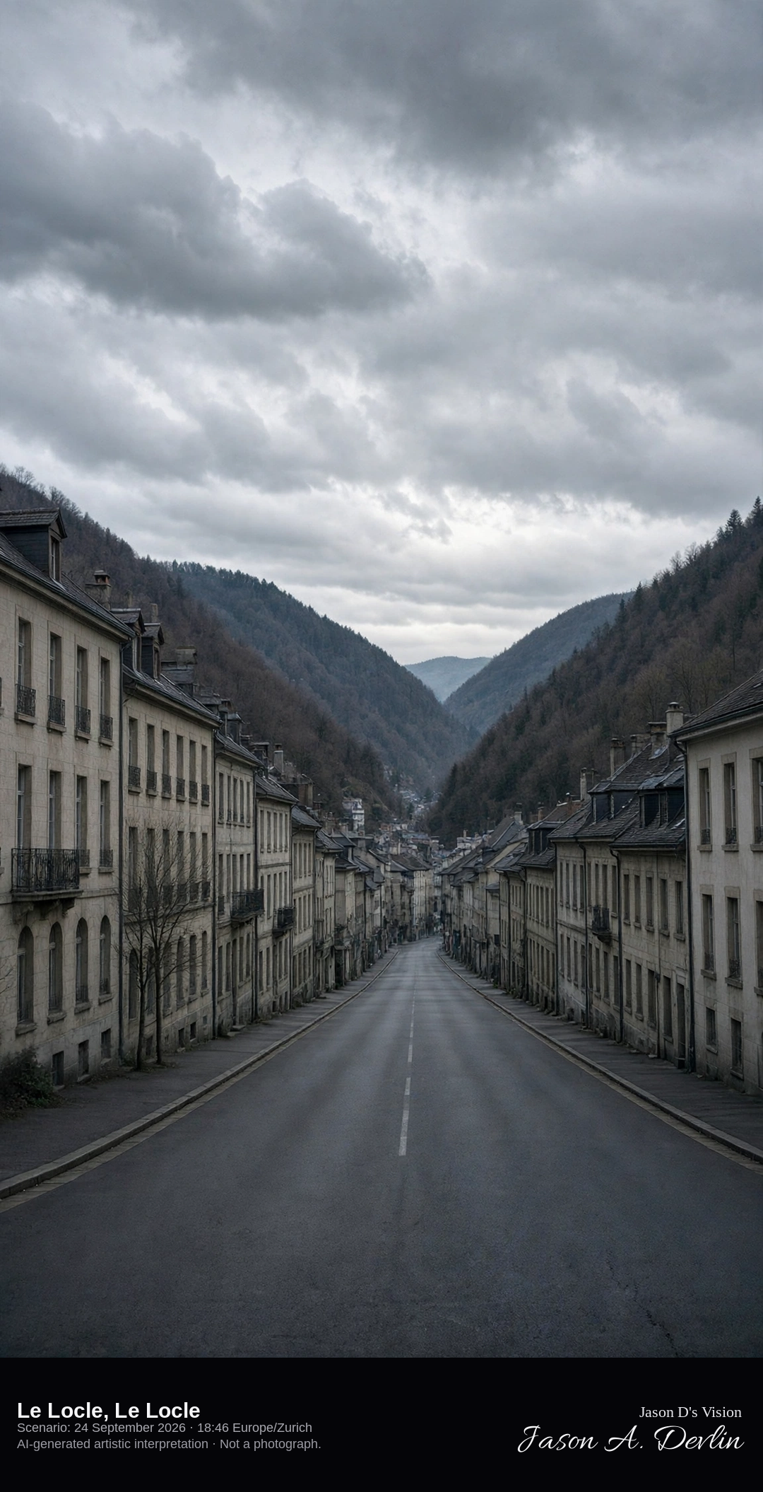
Straight valley street of the watchmaking town of Le Locle · AI-generated artistic interpretation
Le Locle lies in a narrow high valley of the Jura, and its watchmaking town is planned as parallel strips of houses and workshops along the valley floor. The street runs between pale stone facades with wooded slopes close on either side, distinct from the plateau grid of La Chaux-de-Fonds. The Open-Meteo model is heavily clouded and cool, with no rain and no snow.
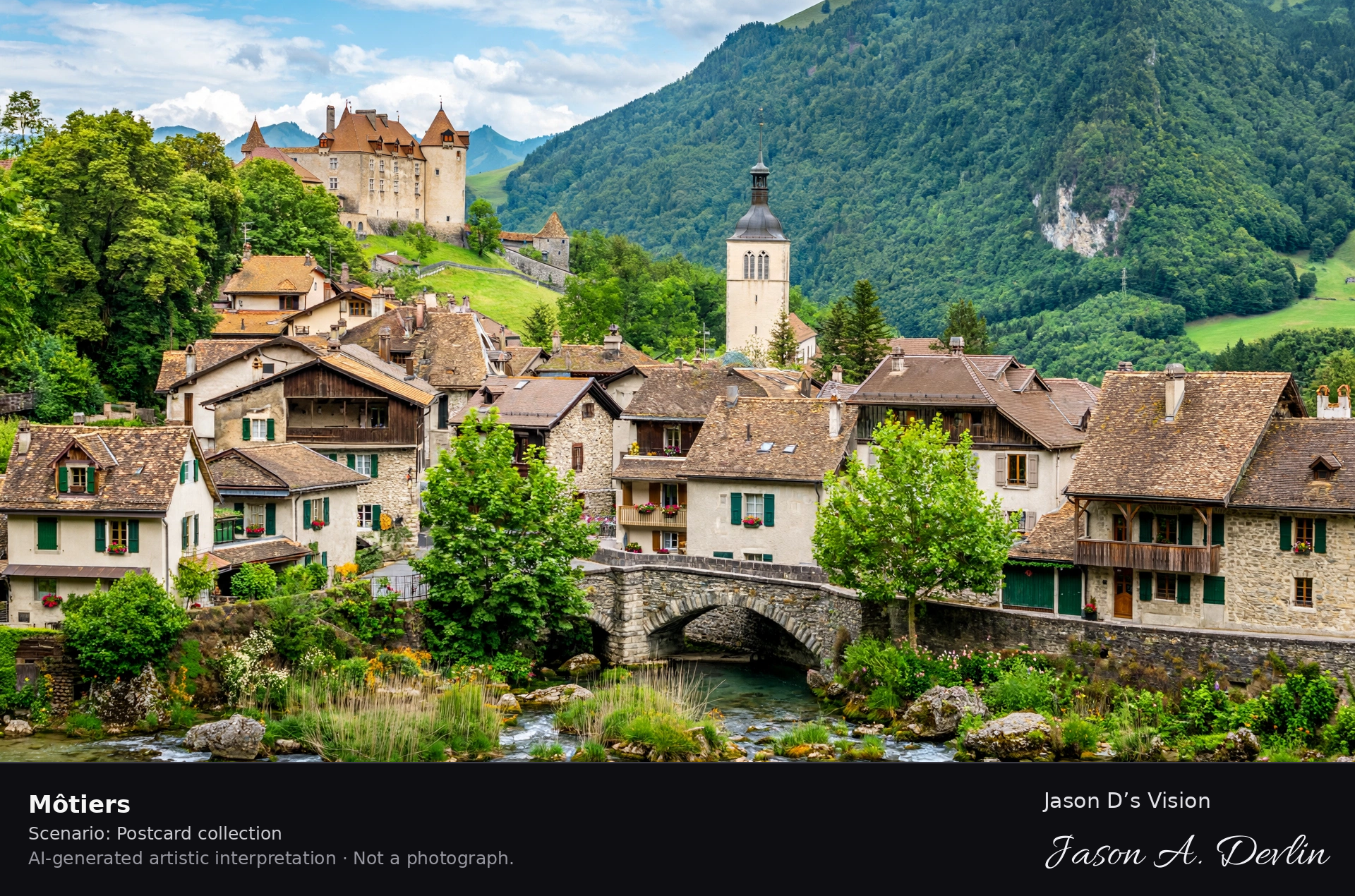
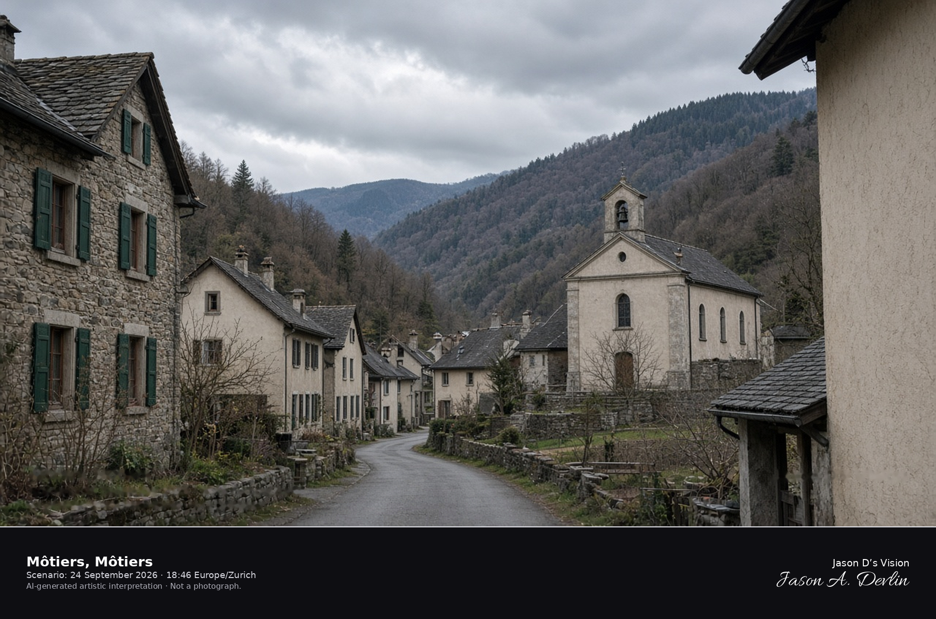
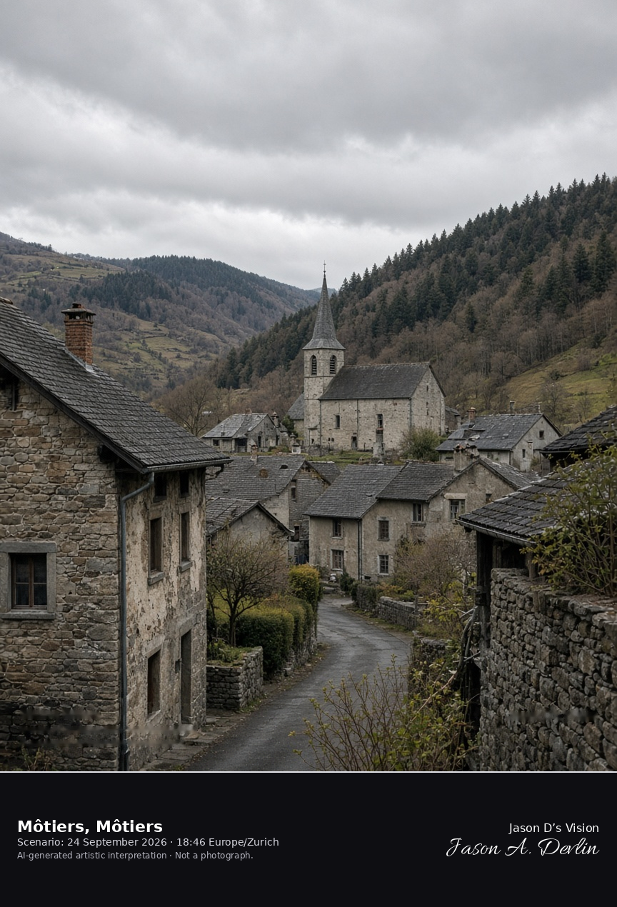
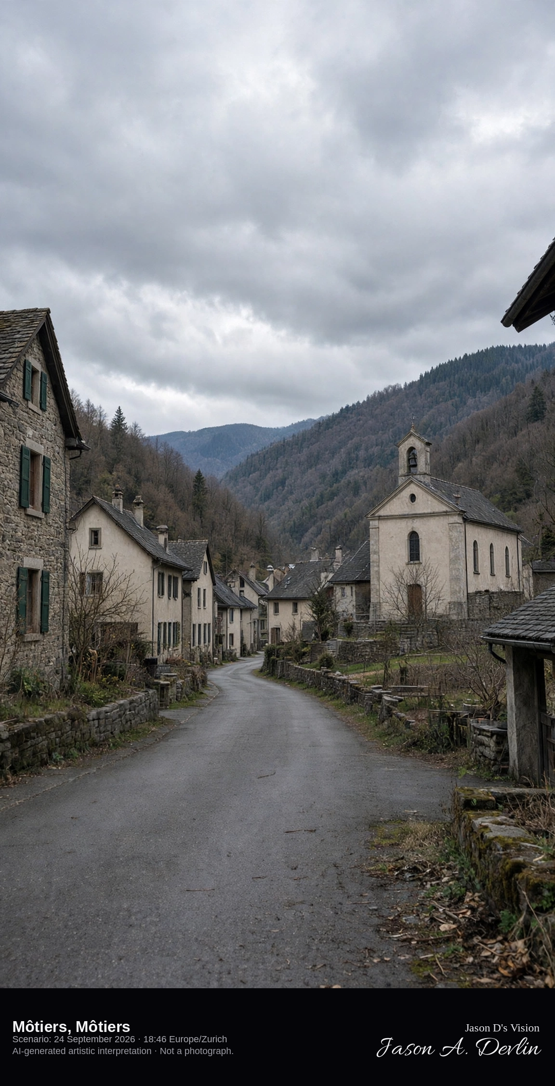
Village street and temple in Môtiers in the Val-de-Travers · AI-generated artistic interpretation
Môtiers is the valley village of the Val-de-Travers, a street of stone houses and a modest Protestant temple on the floor of the Areuse valley. The town belongs to the municipality of Val-de-Travers, and the great cliff of Creux du Van is not in this frame. The Open-Meteo model is heavily clouded and mild, with no rain.
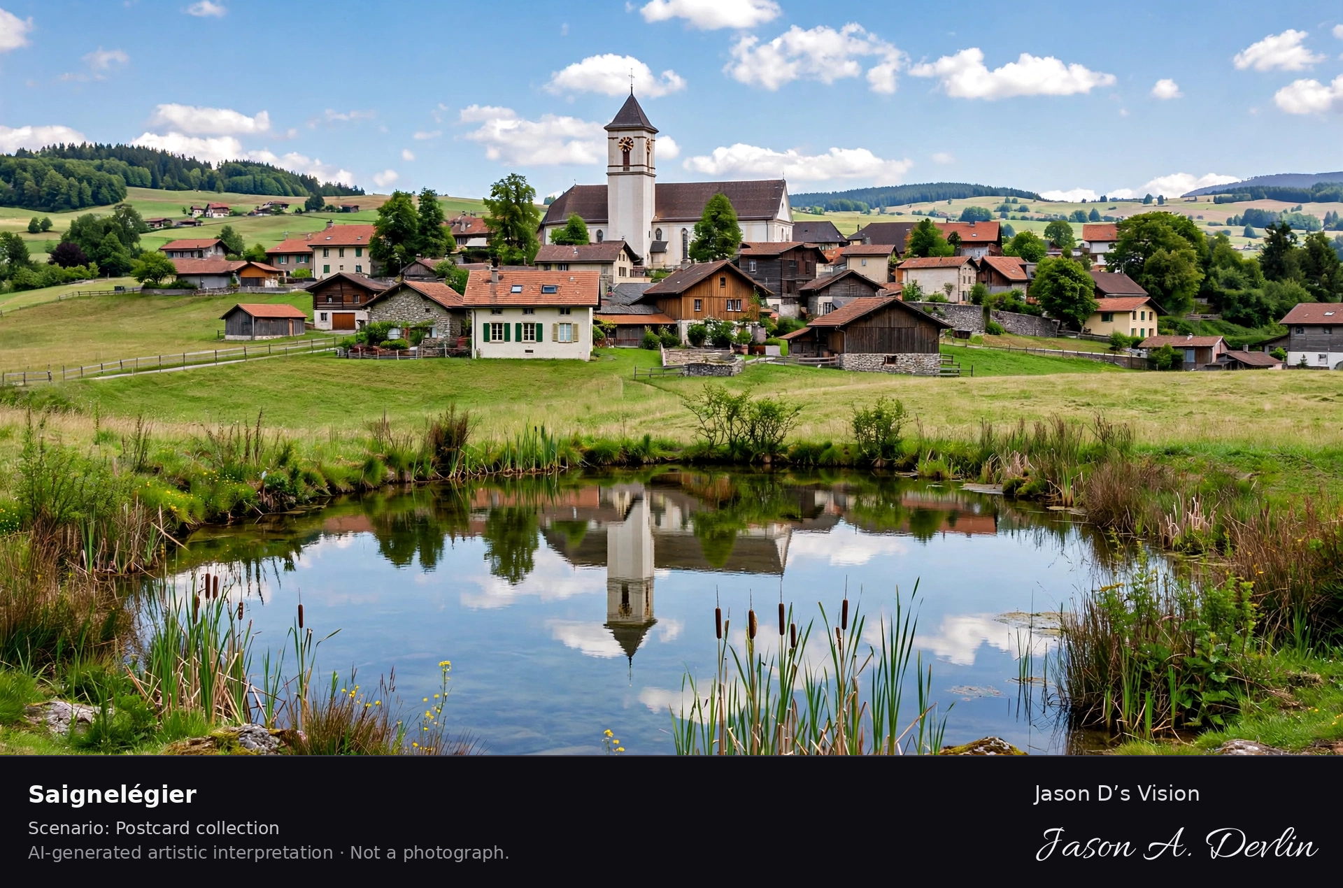
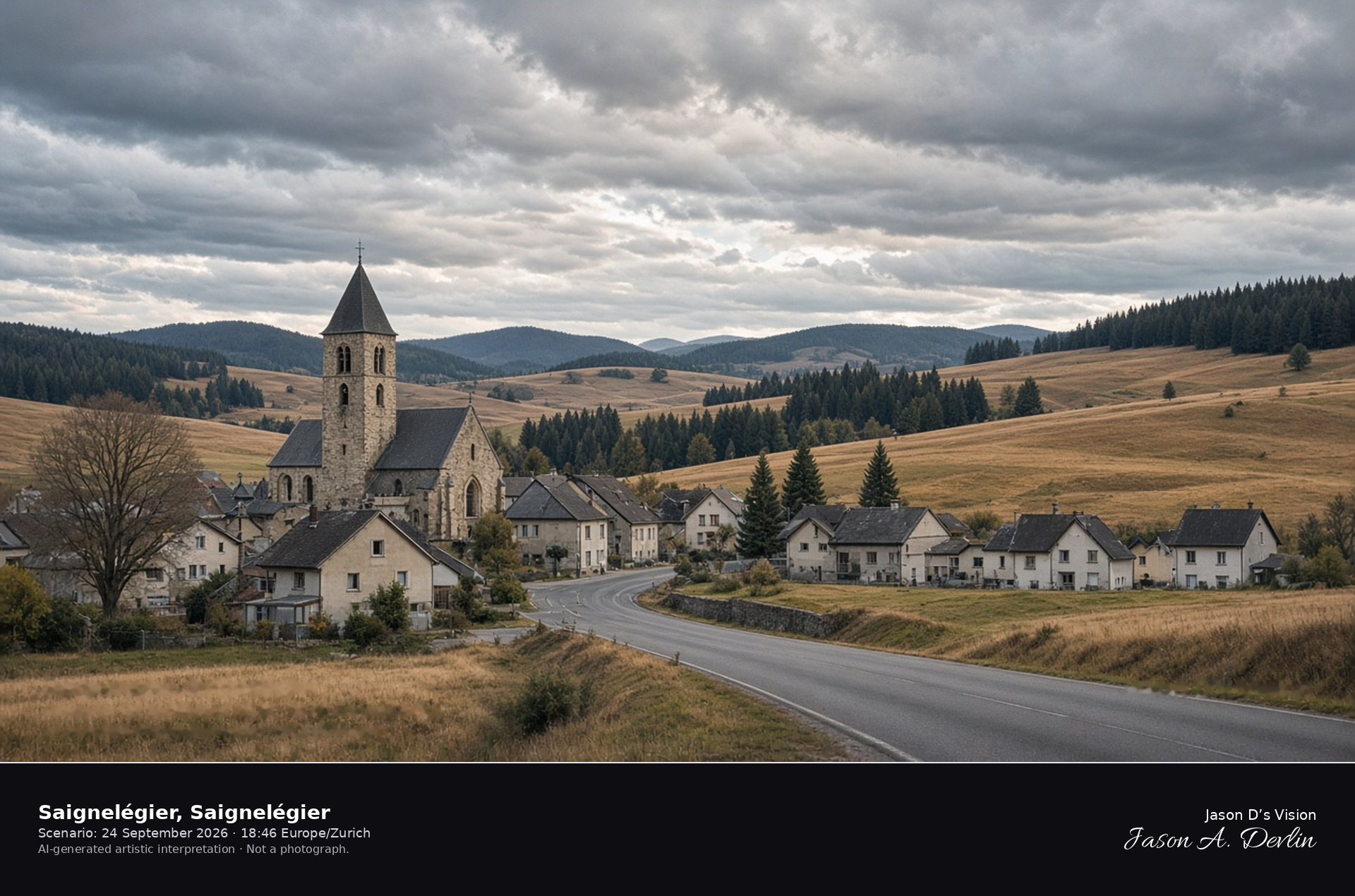
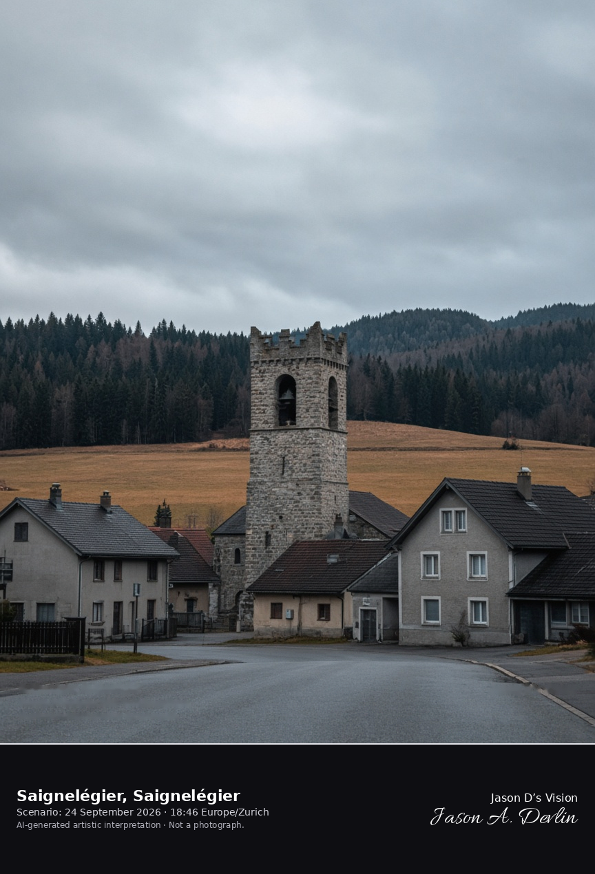
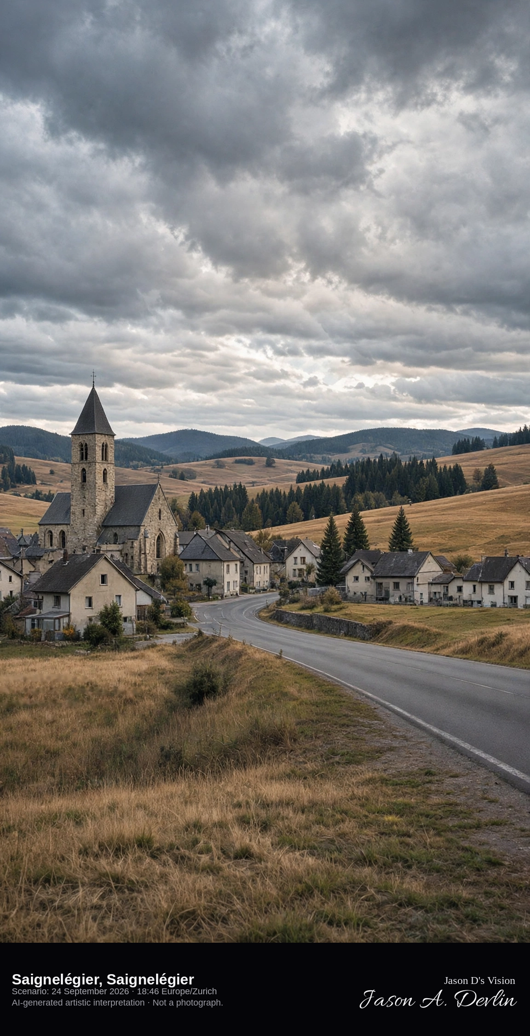
Church and street in Saignelégier on the Franches-Montagnes plateau · AI-generated artistic interpretation
Saignelégier is the small capital of the Franches-Montagnes, set at about 980 metres where the roads of the Jura plateau meet. The Catholic church tower rises over a wide street, and pasture and fir woods roll away beyond the houses. The late-September town is quiet, without the August horse fair. The Open-Meteo model is heavily clouded and cool, with no rain.
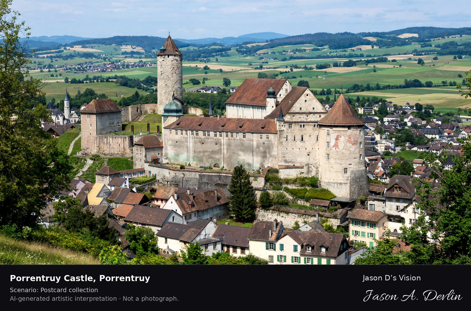
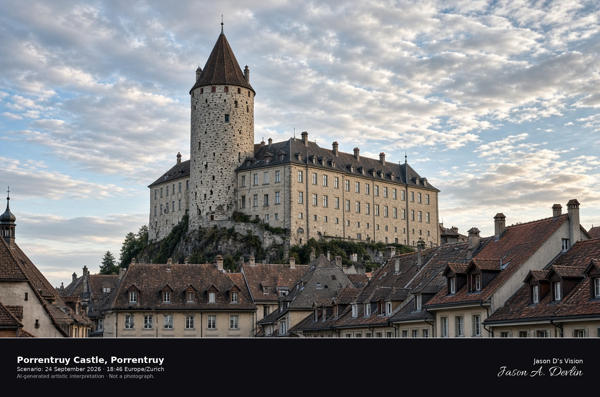
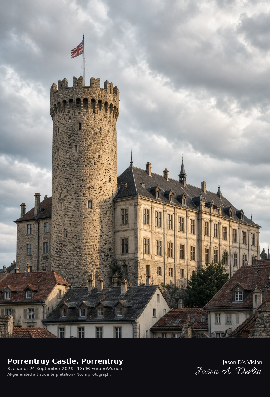
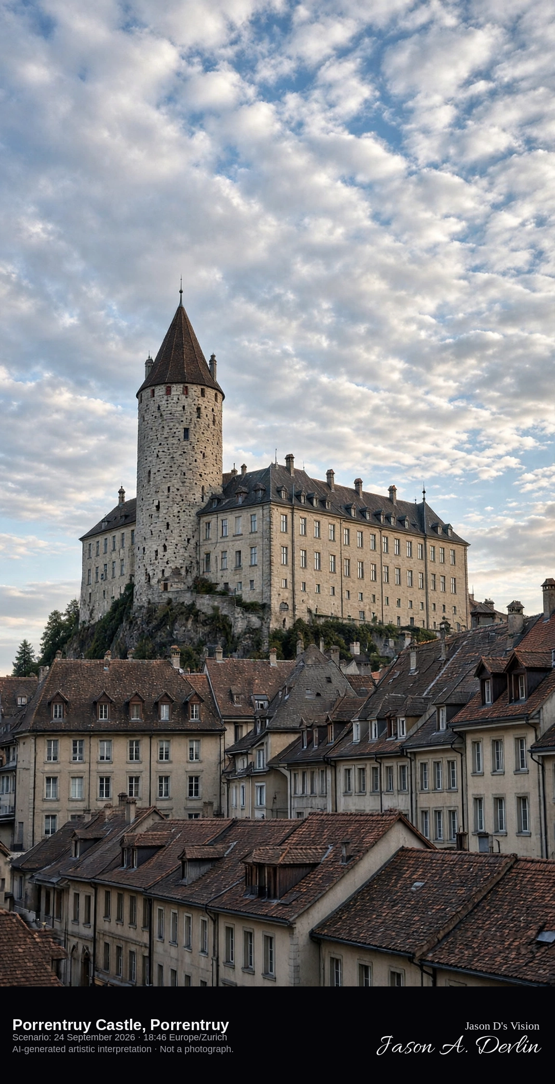
Tour Réfous and the Renaissance residence above Porrentruy · AI-generated artistic interpretation
Porrentruy Castle stands on the first spur above the old town, and the round Tour Réfous, a medieval keep of about 32 metres, rises beside the long Renaissance residence of the prince-bishops. The roofs of the town sit below the walls. The Open-Meteo model is broken cloud and mild, with no rain, and the late sun is low in the west.
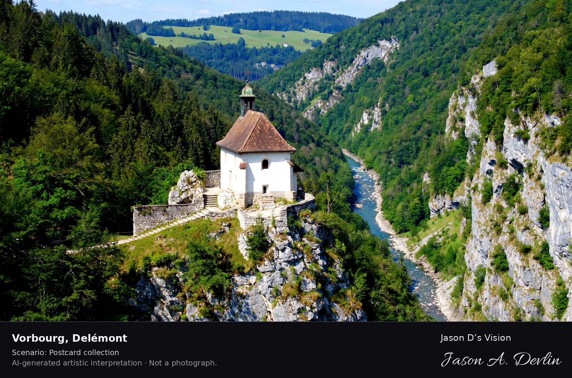
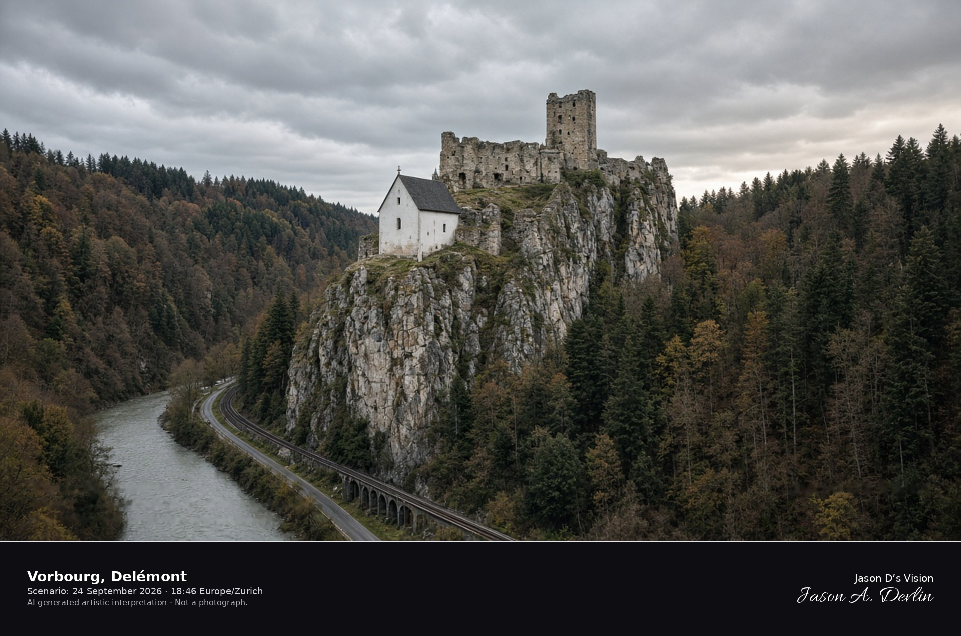
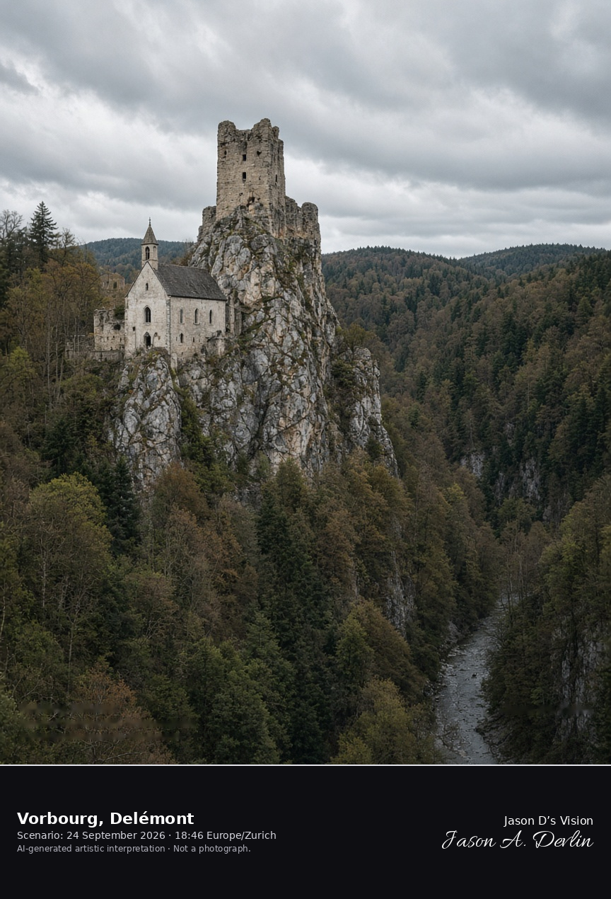
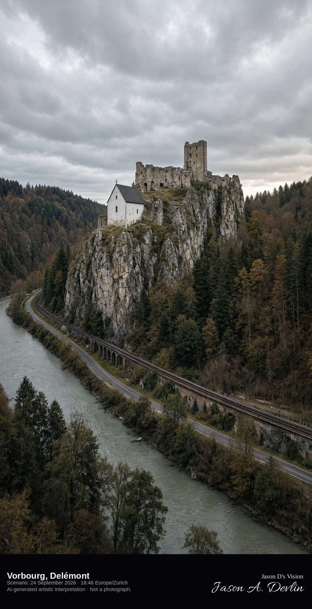
Chapel and ruined keep of Vorbourg above the Birs gorge · AI-generated artistic interpretation
Vorbourg is the limestone spur above the Birs gorge east of Delémont, where a small pilgrimage chapel clings to the rock beneath a ruined medieval keep and the square Tour Sainte-Anne. The river runs far below between steep woods. This is not the baroque château already catalogued in the town. The Open-Meteo model is heavily clouded and mild, with no rain.
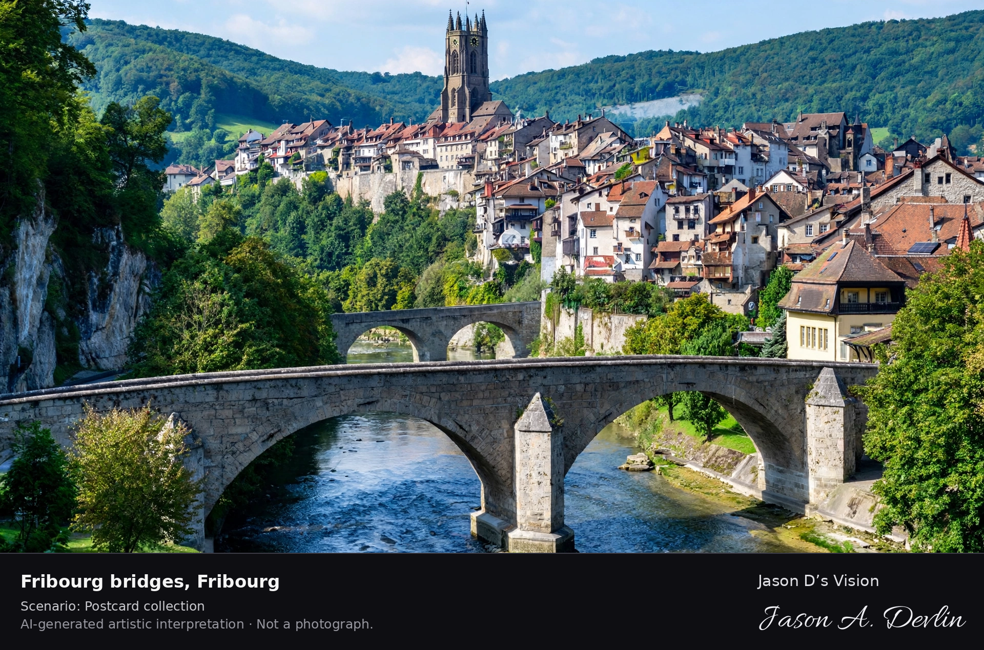
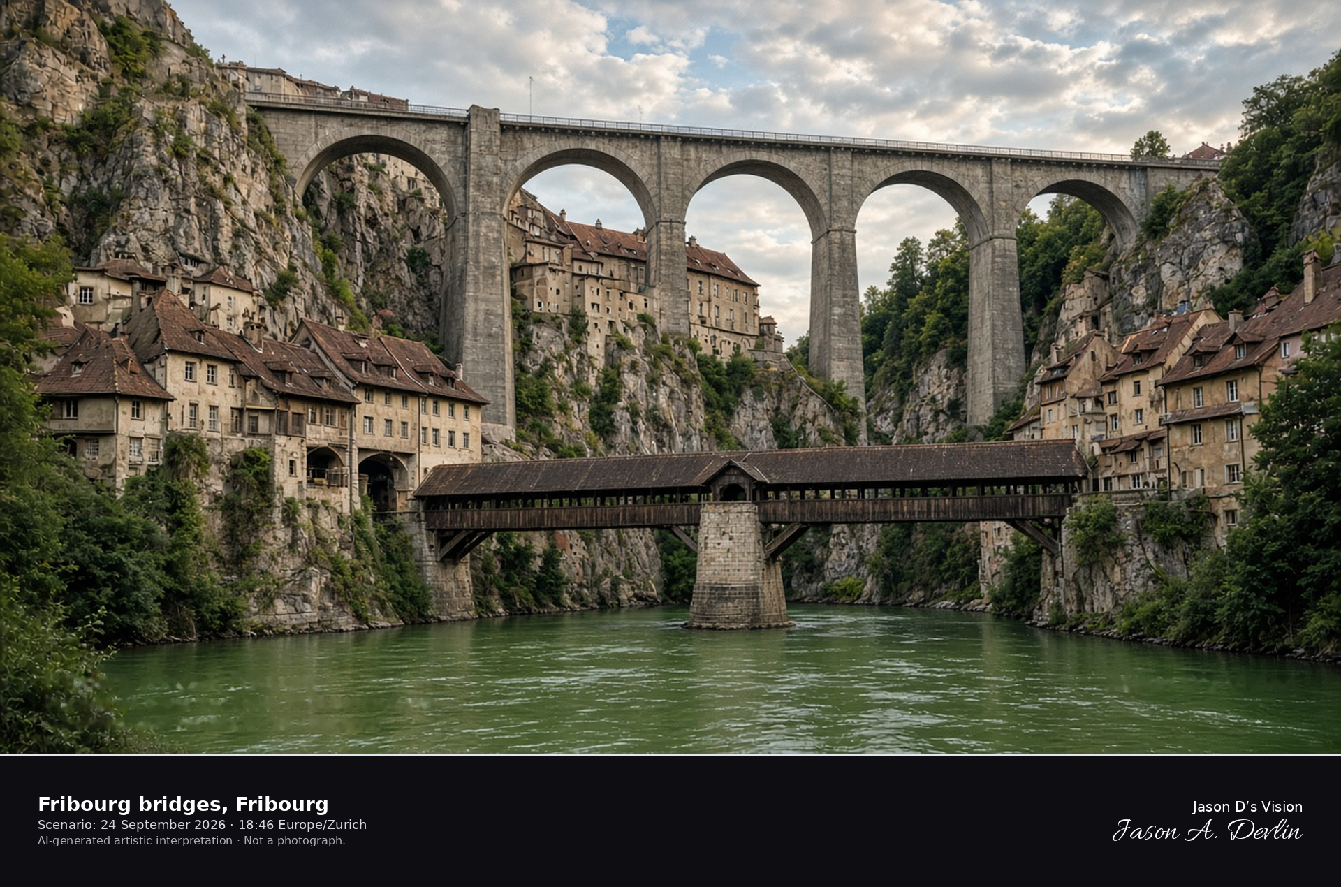
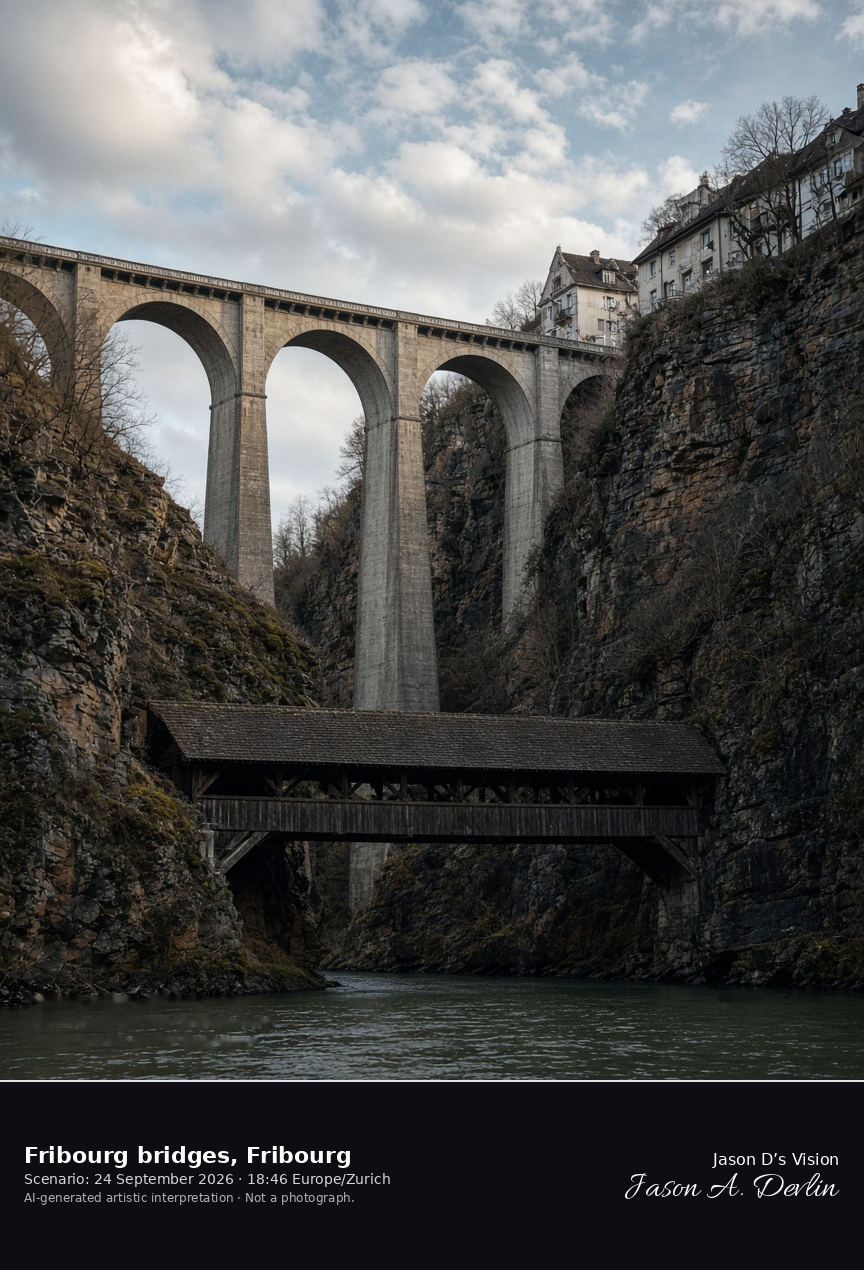
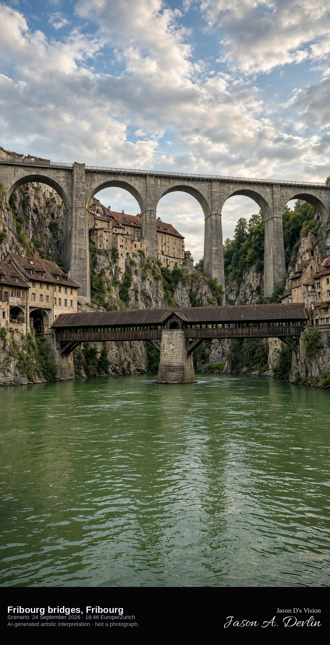
Pont de Berne under the high Zähringen bridge in the Sarine gorge · AI-generated artistic interpretation
In the Sarine gorge at Fribourg, the covered wooden Pont de Berne crosses low over the river on a stone pier, while the 1924 Zähringen bridge spans the cliffs high above it. Houses hold to the rock between the two crossings. The cathedral on the upper hill is not this subject. The Open-Meteo model is broken cloud and mild, with no rain.
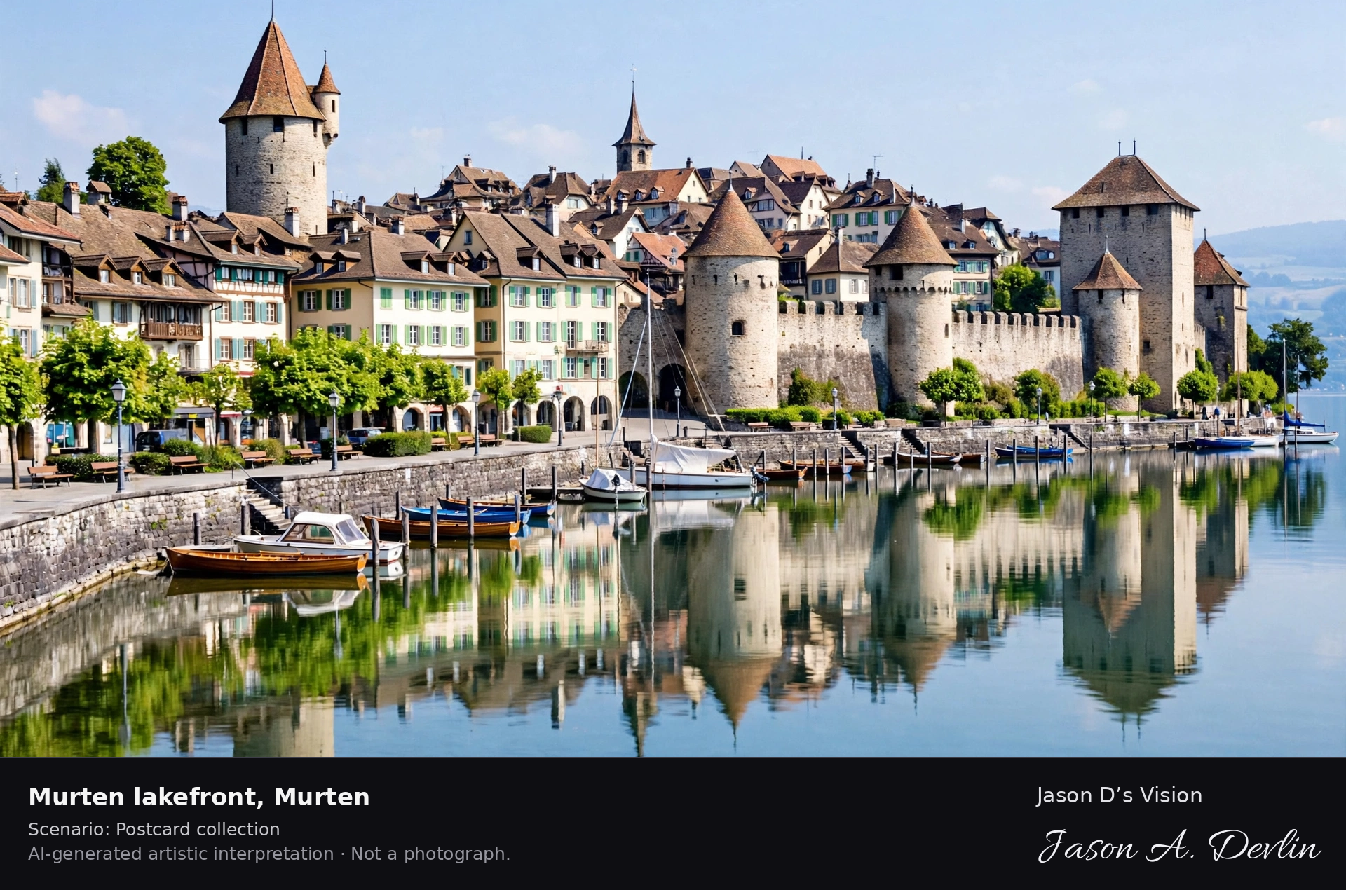
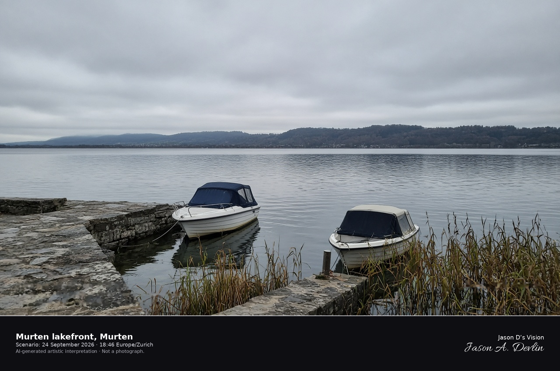
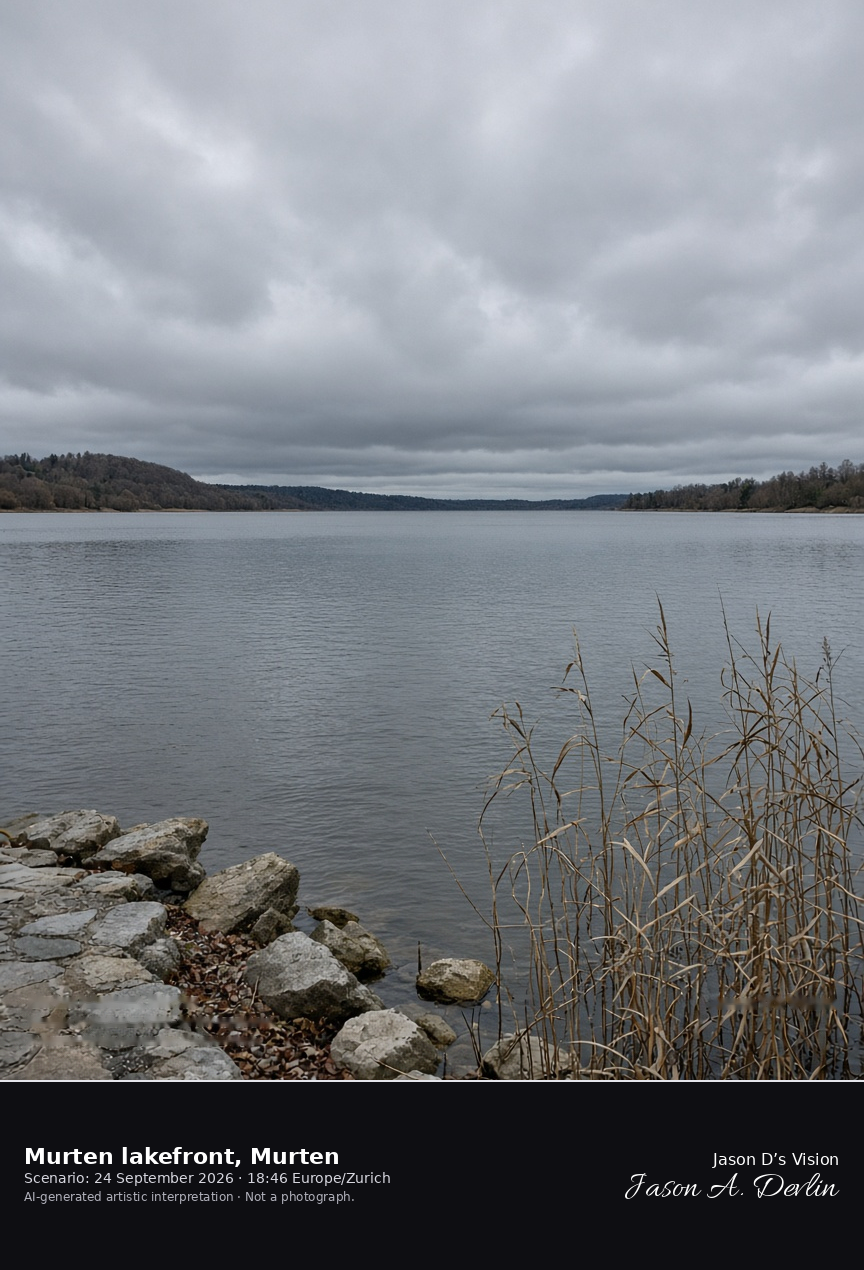
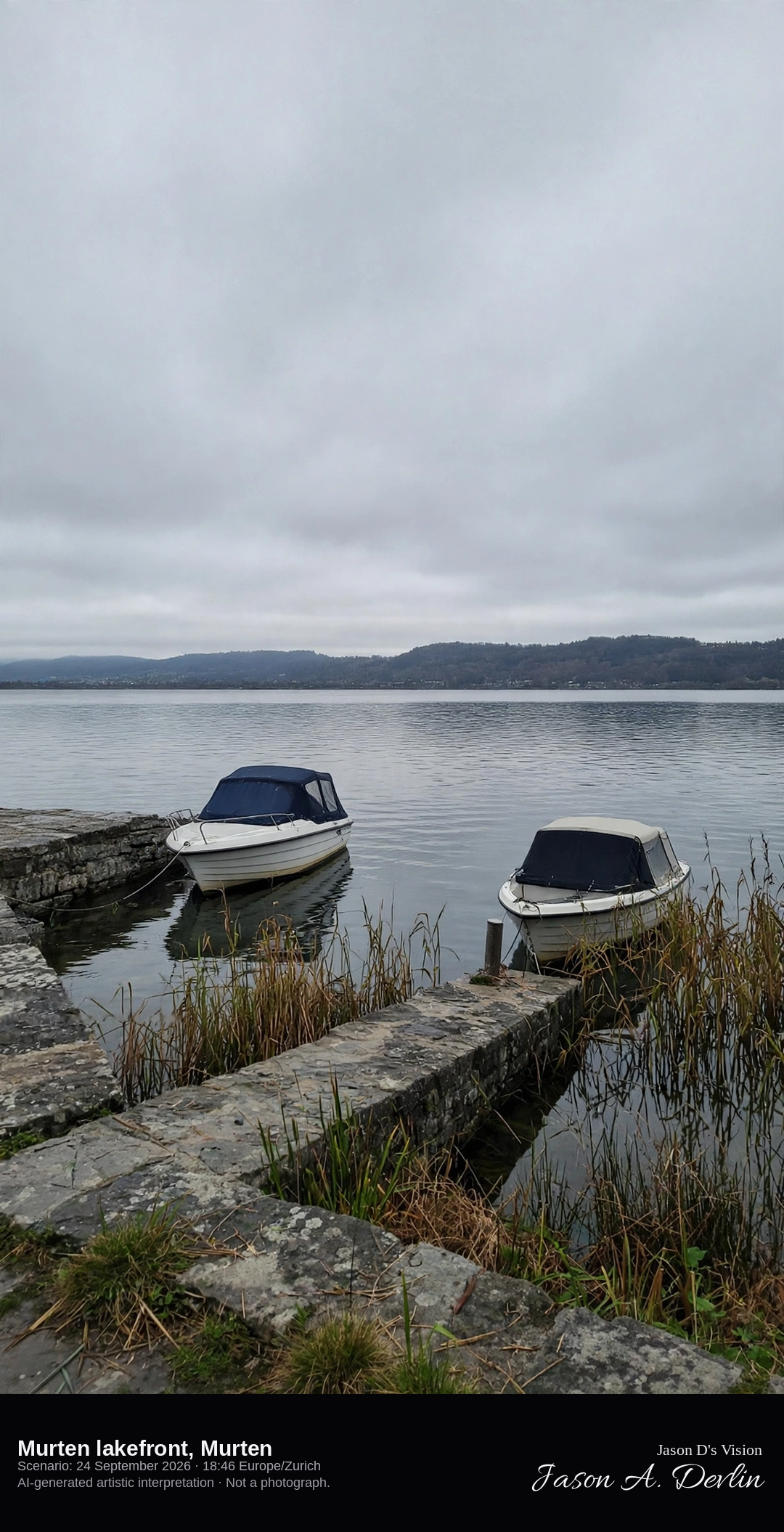
Murten harbour looking across Lake Murten · AI-generated artistic interpretation
Murten’s harbour sits on the lake below the hill town, and this frame looks out across Lake Murten from the pier, with the quay, a few boats, and reeds in the foreground. Mont Vully is the low ridge on the far shore. The ring wall and castle are behind the camera, so this is not the walled-town scene already catalogued. The Open-Meteo model is fully overcast and mild, with no rain.
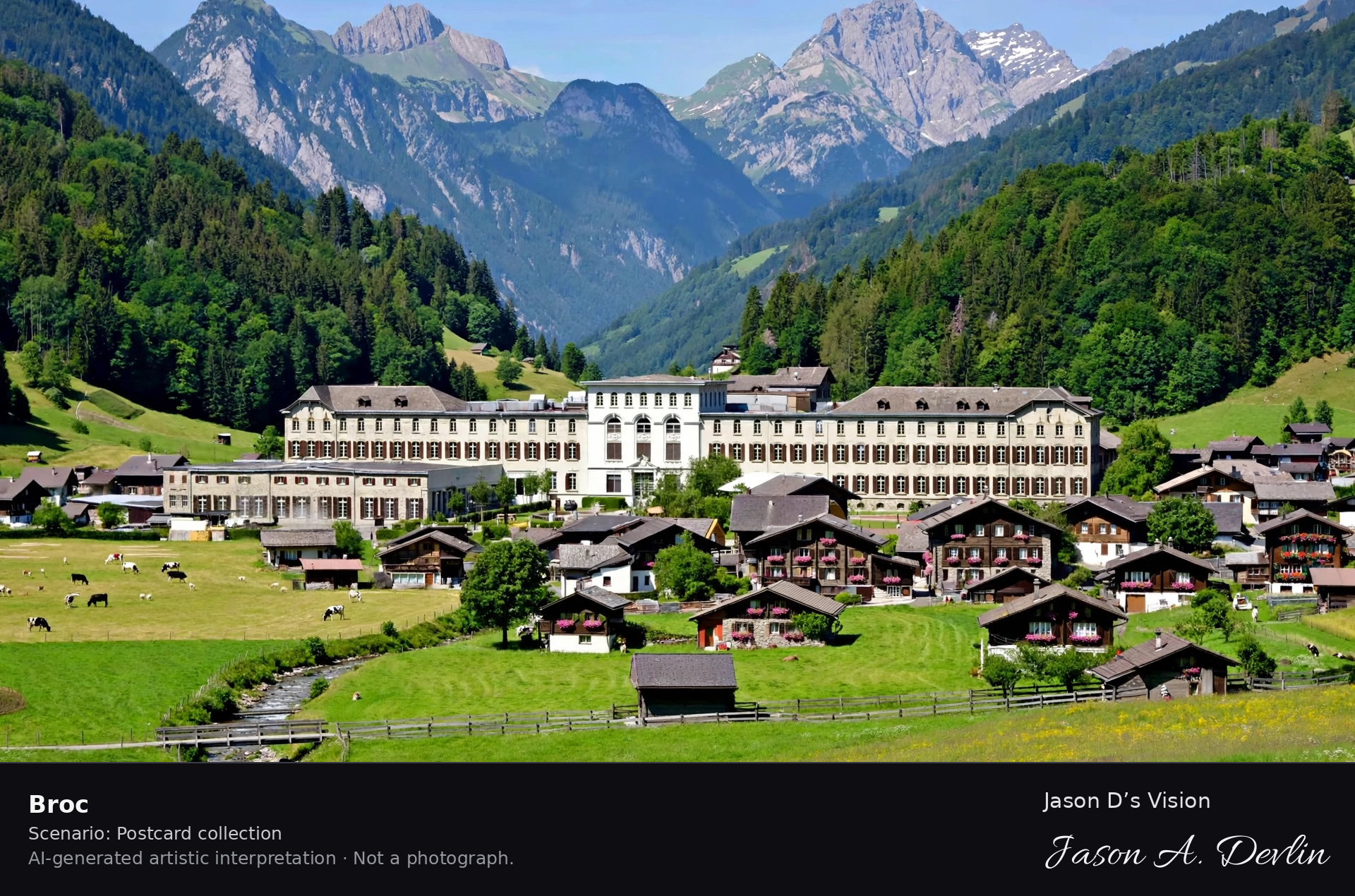
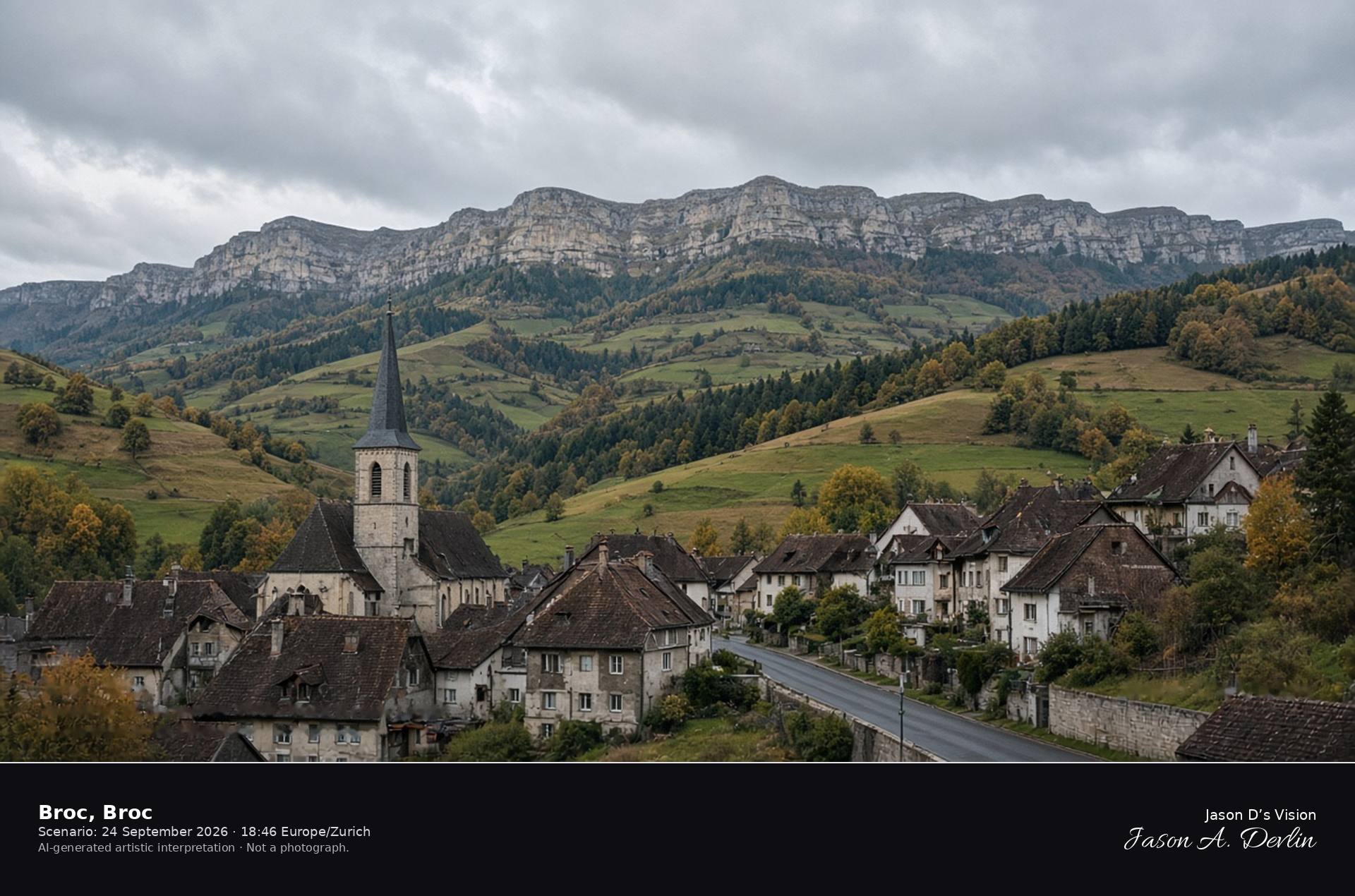
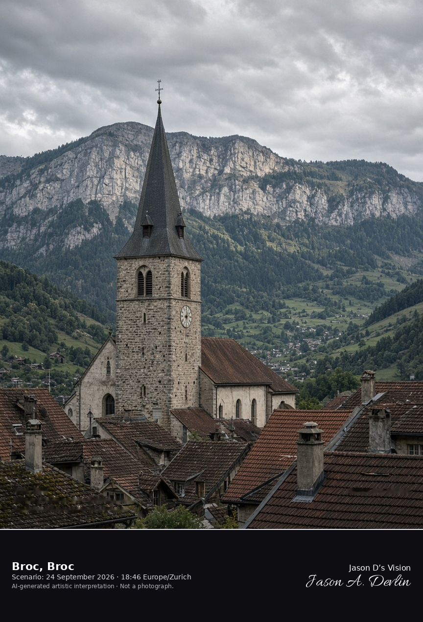
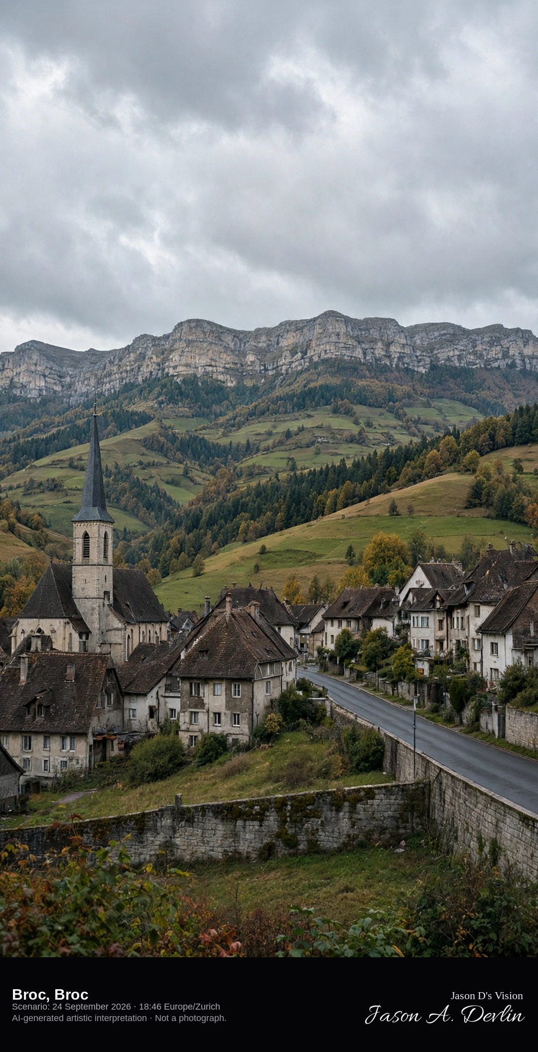
Church and valley street in the village of Broc · AI-generated artistic interpretation
Broc sits where the Jogne valley meets the Gruyère, and the village church spire rises over tile roofs with pastures and a limestone ridge behind. This is the valley village, not the hilltop castle of Gruyères. No factory name is shown. The Open-Meteo model is heavily clouded and mild, with no rain.
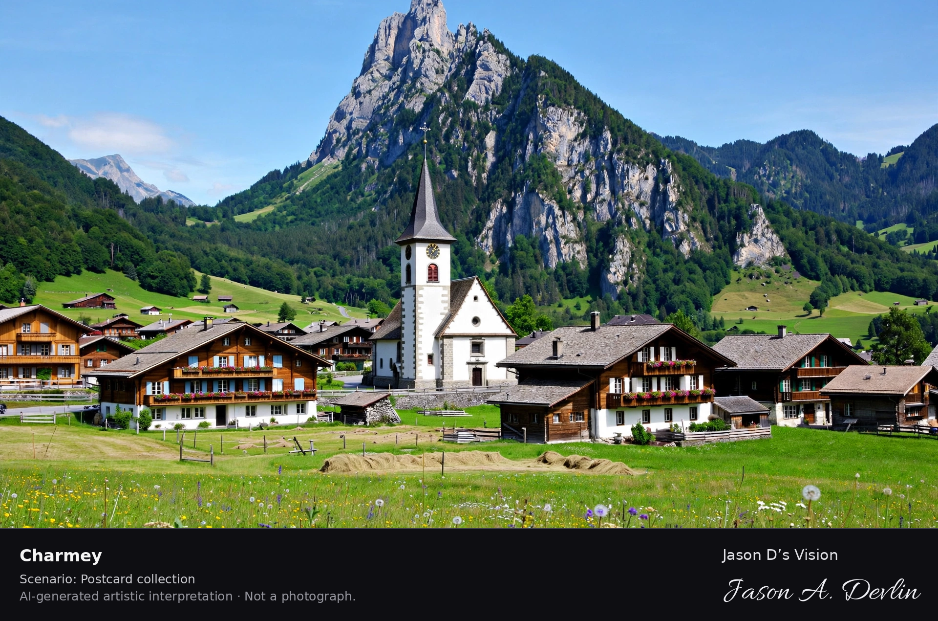
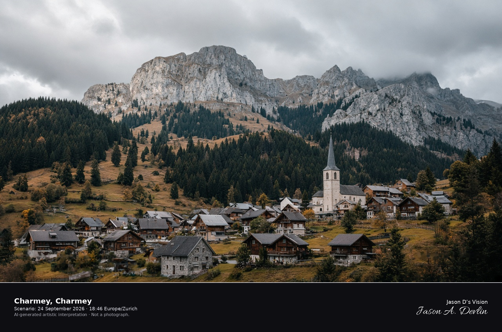
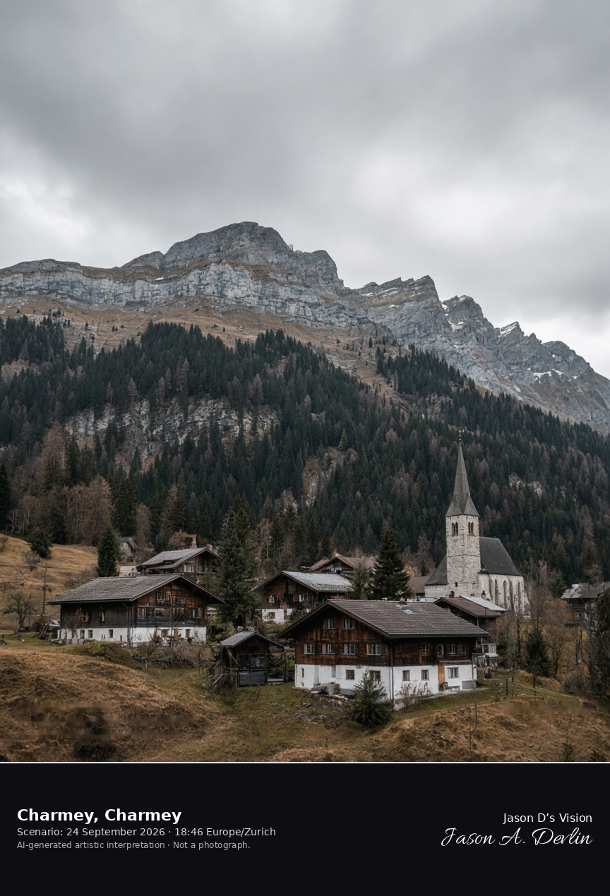
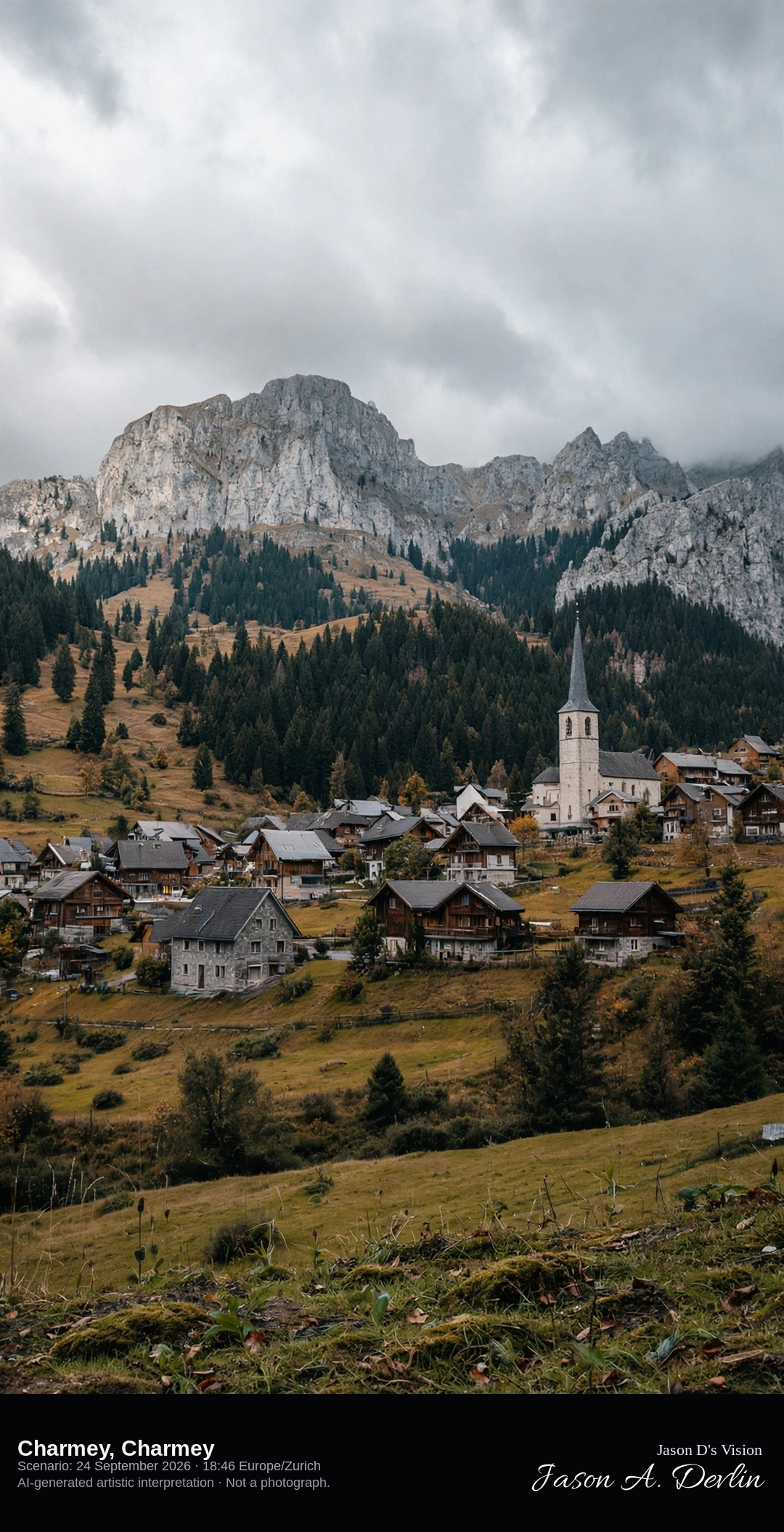
Charmey village in the Jogne valley under the Gruyère Prealps · AI-generated artistic interpretation
Charmey is the pre-Alpine village in the Jogne valley, with wooden chalets, a church, and the limestone peaks of the Gruyère Prealps behind dark fir woods. Late-September meadows are tawny, and the village itself carries no snow. The Open-Meteo model is heavily clouded and cool, with no rain.
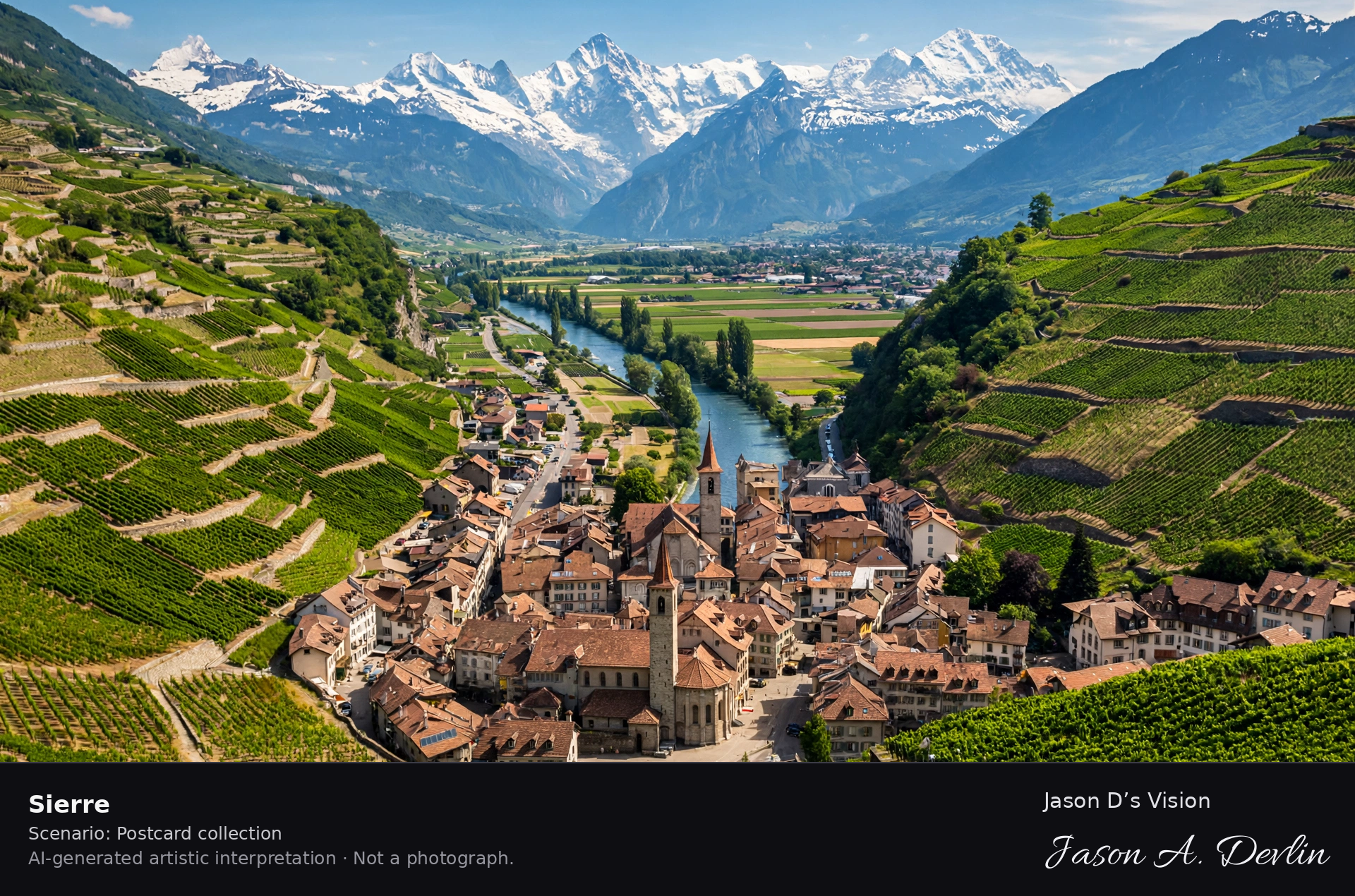
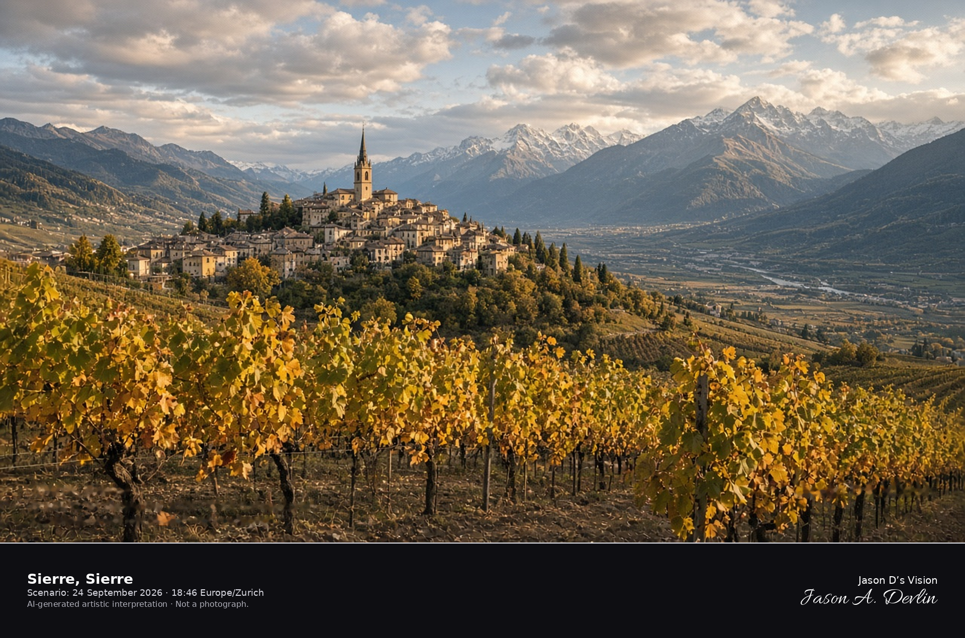
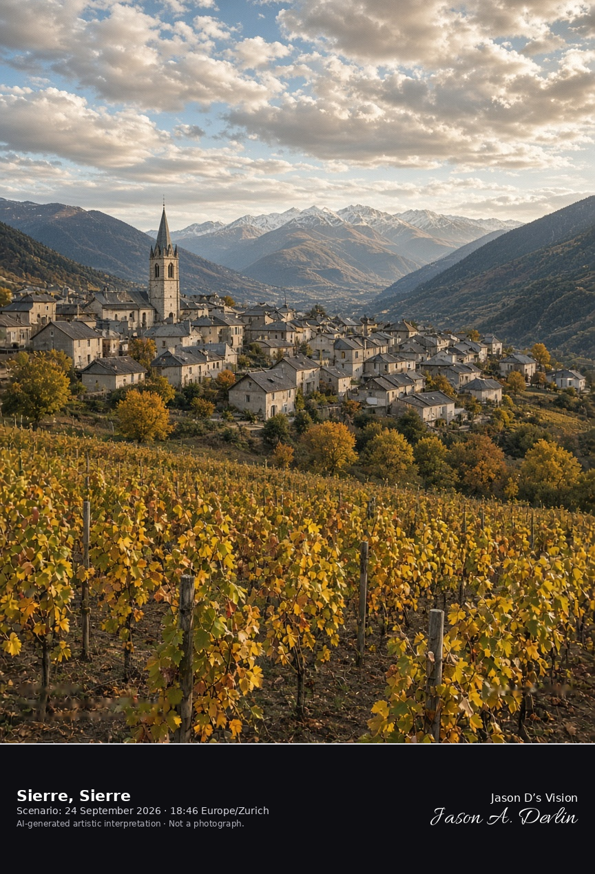
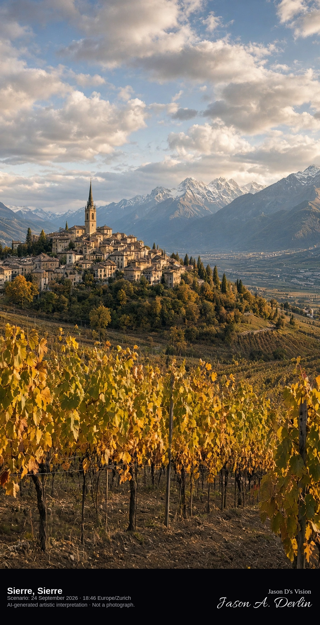
Autumn vineyards above the old town of Sierre · AI-generated artistic interpretation
Sierre stands on a dry hillside above the Rhône, and the old-town church tower rises among pale houses with autumn vines in yellow and russet on the slope below. Distant Valais peaks close the valley under broken cloud. This is the valley town, not a high-alpine resort. The Open-Meteo model is partly cloudy, warm, and dry, with a breeze.
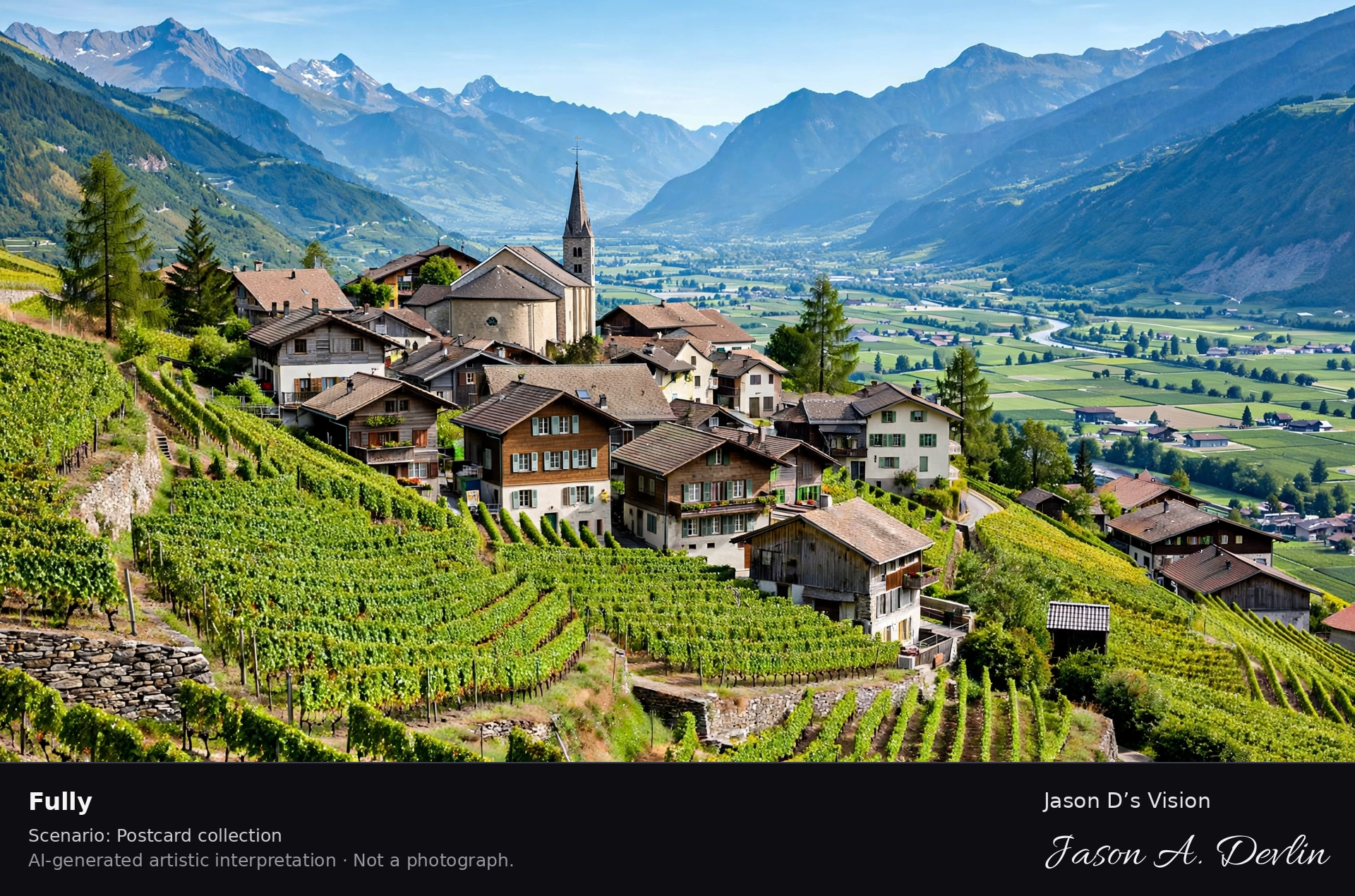
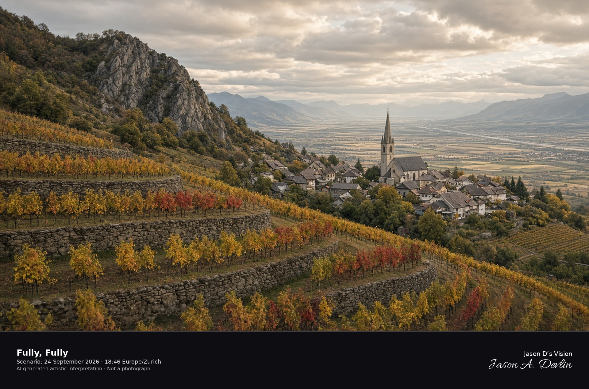
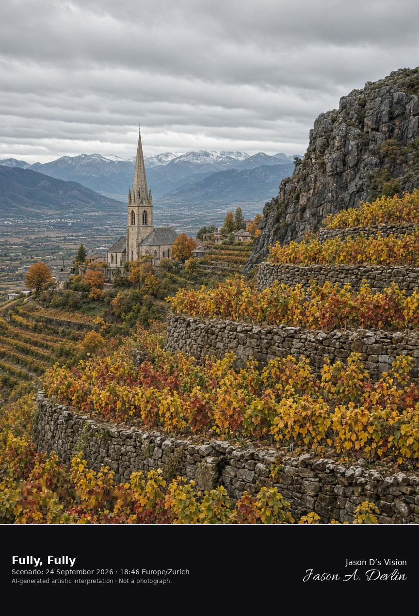
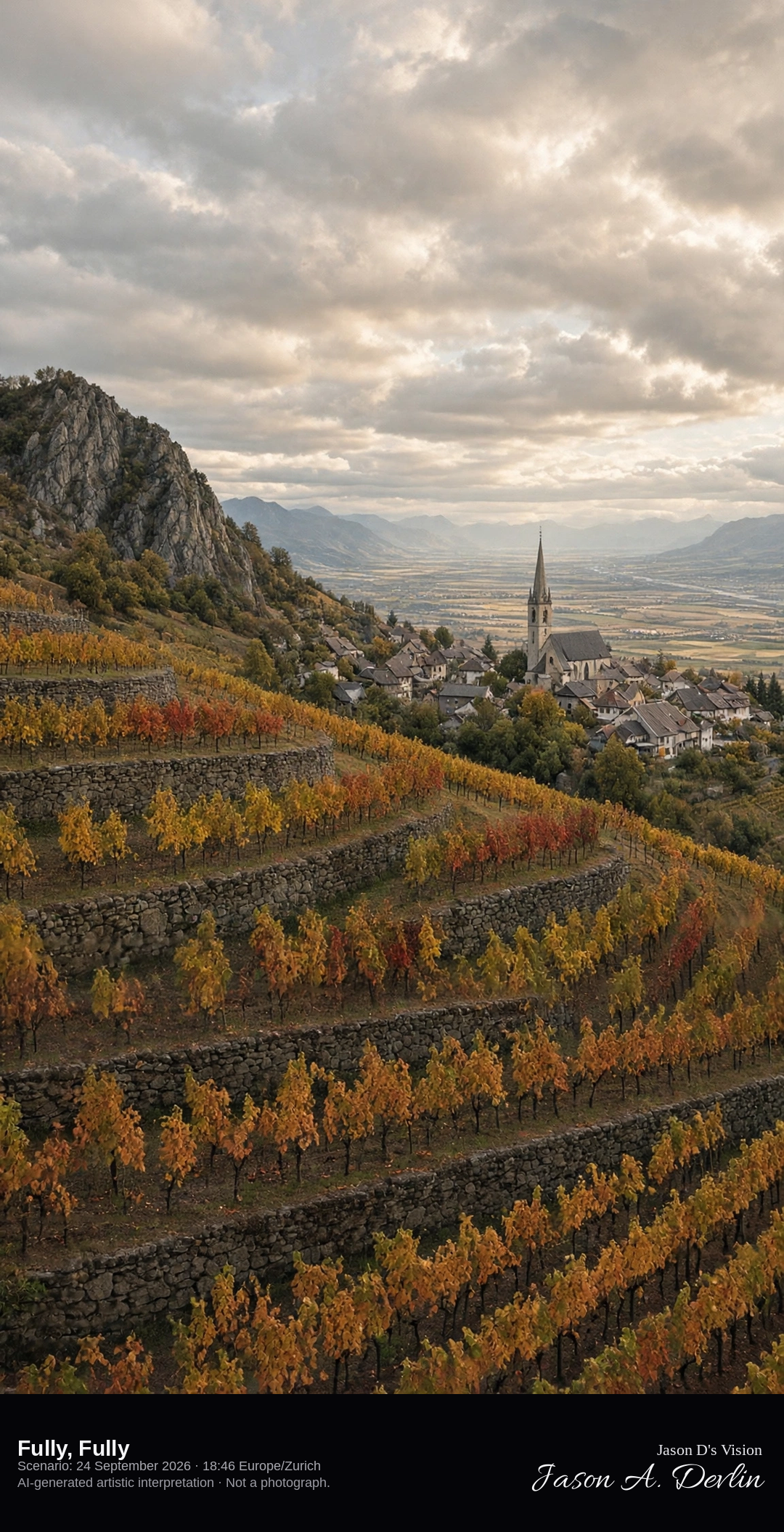
Vineyard terraces and church spire above the Rhône at Fully · AI-generated artistic interpretation
Fully’s vineyards step down a steep slope in stone terraces, and the tall church spire rises among the roofs above the flat Rhône plain. Late-September vines are turning yellow and red, with the rocky Follatères shoulder beside the slope. The Open-Meteo model is mostly cloudy and warm, with a breeze and no rain.
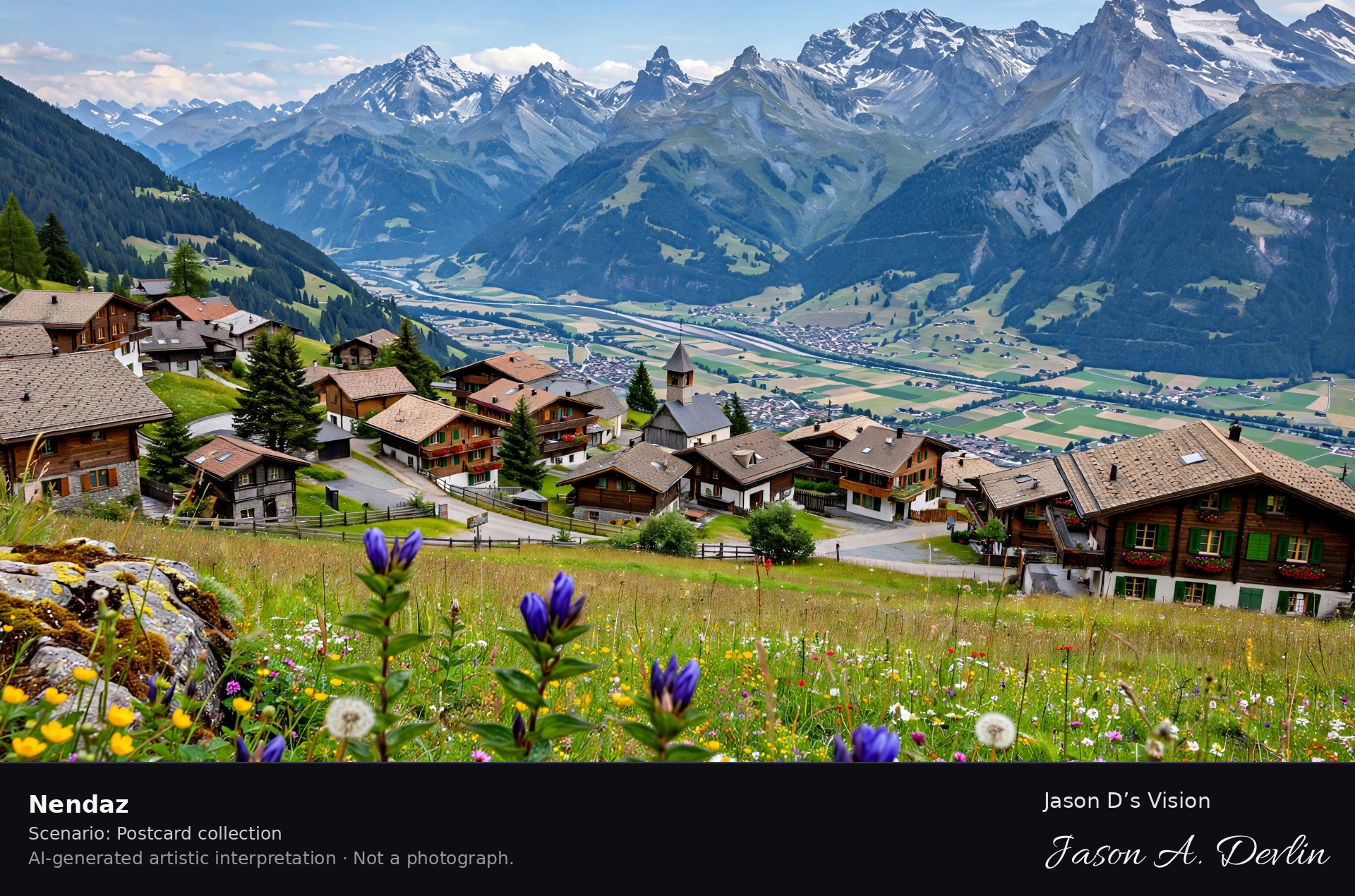
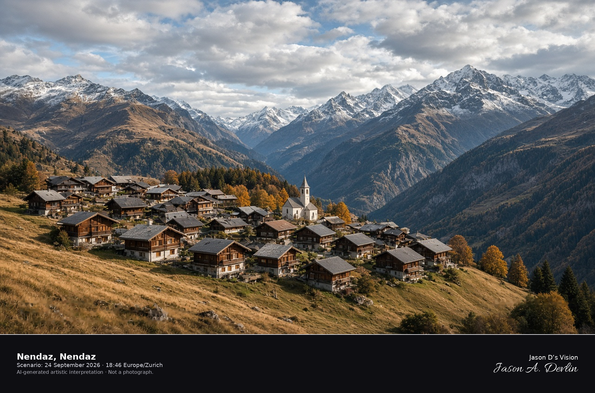
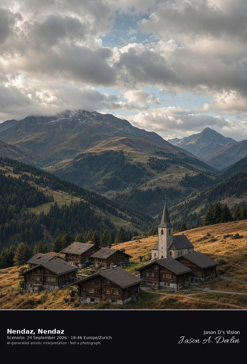
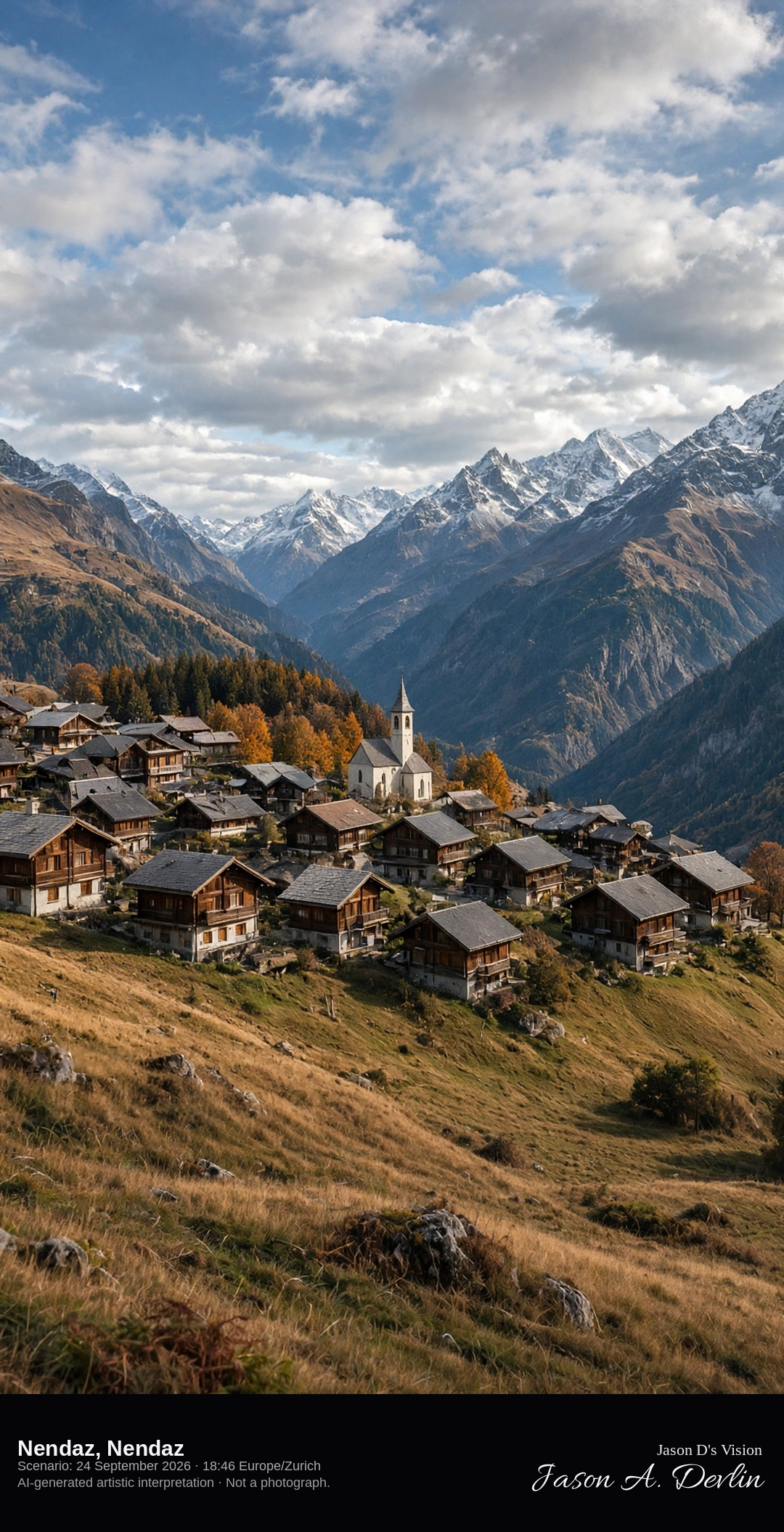
Haute-Nendaz chalets above the Rhône valley · AI-generated artistic interpretation
Nendaz’s resort village of Haute-Nendaz sits on a shelf above the Rhône, a cluster of dark-wood chalets and a small church looking south toward the high peaks. Late-September pastures are tawny, and the village itself is free of snow. The Open-Meteo model is broken cloud and mild for this height, with no precipitation.
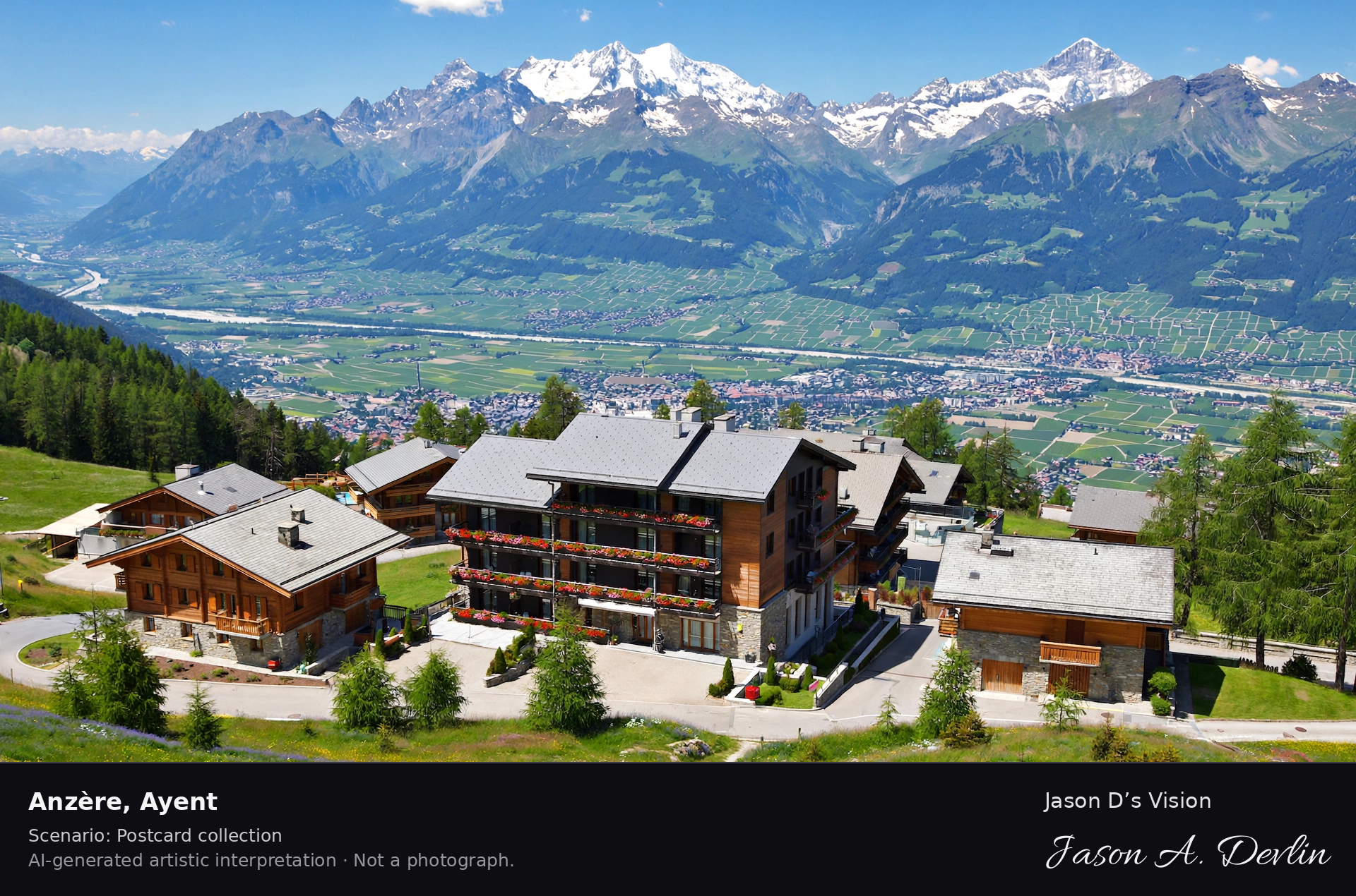
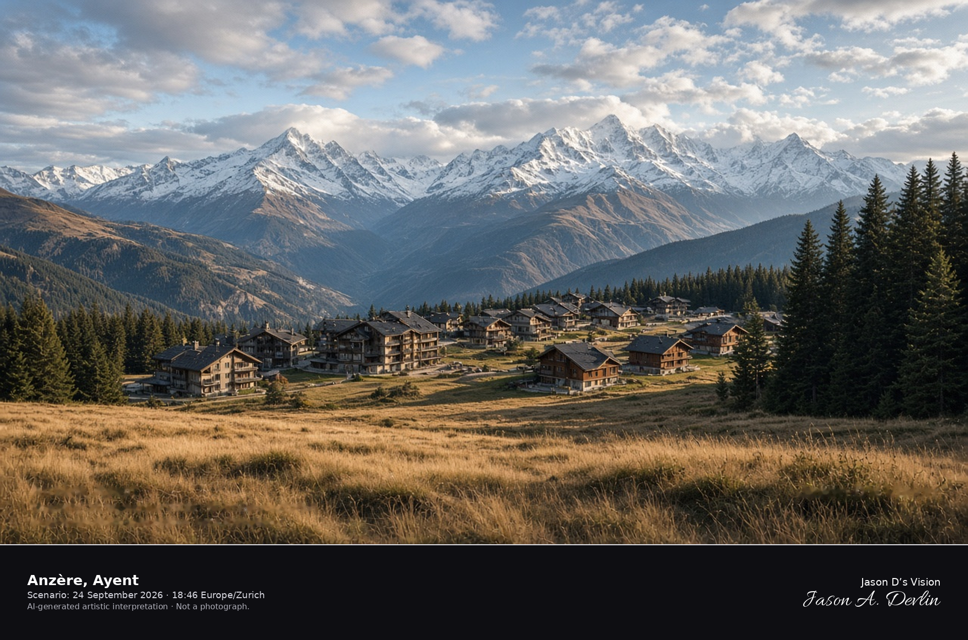
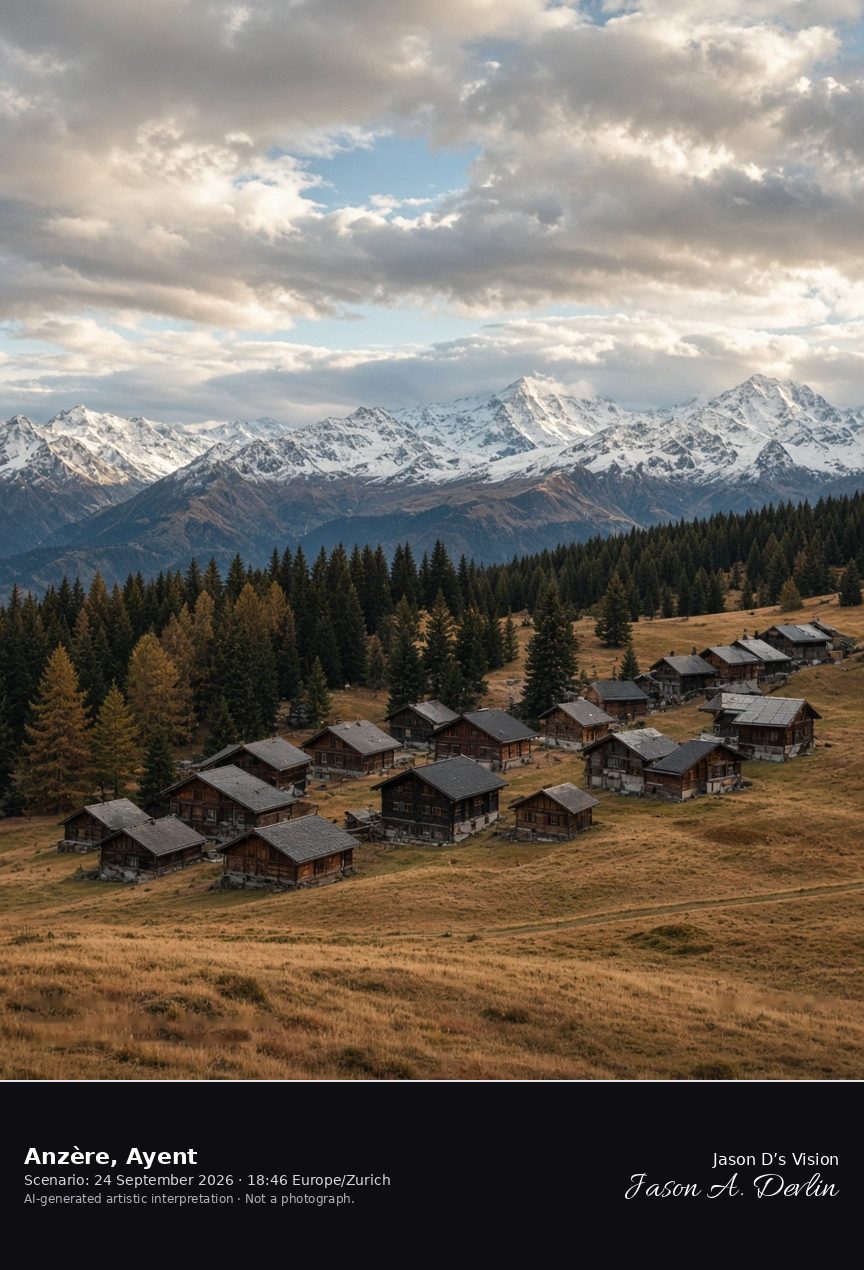
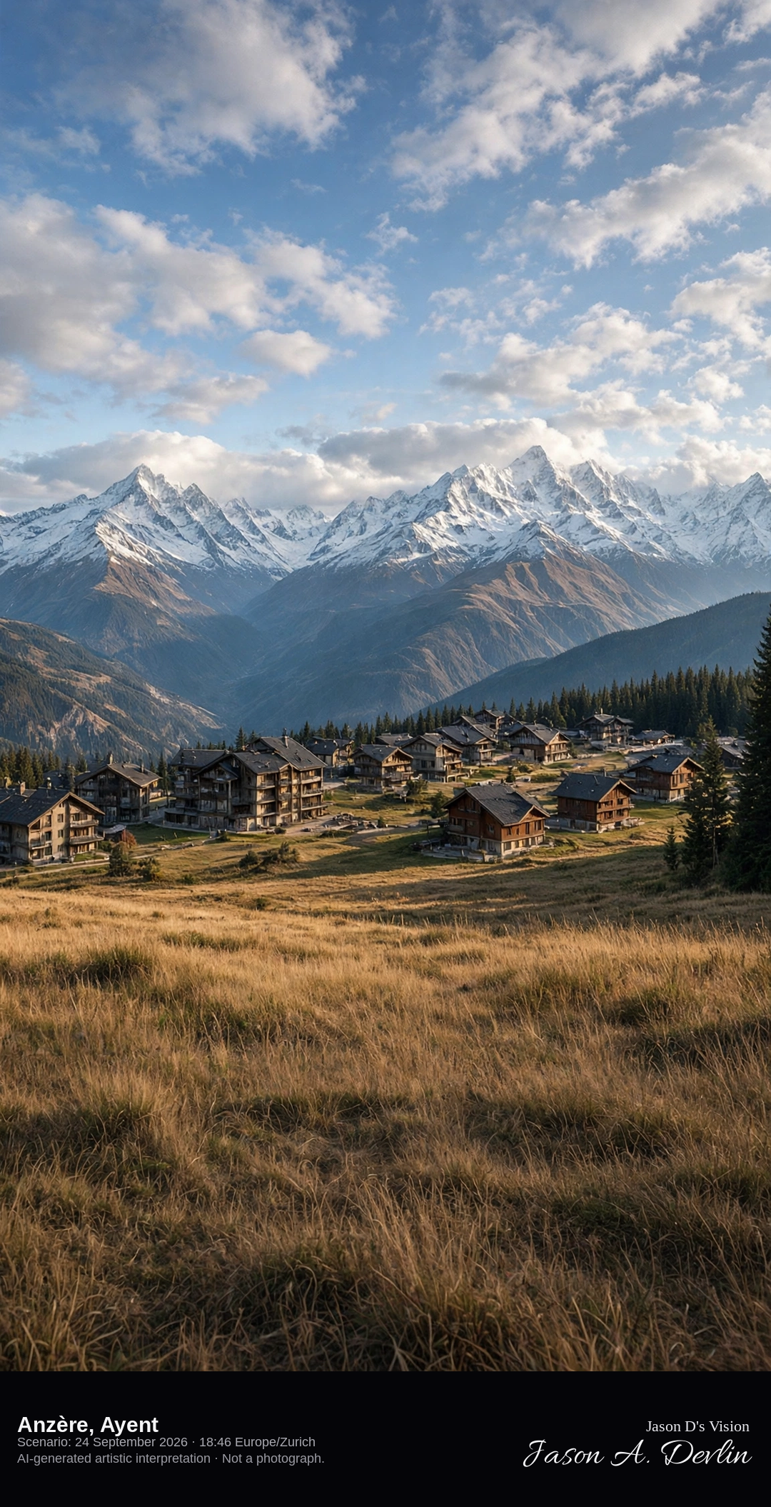
Anzère resort plateau looking south toward the Valais Alps · AI-generated artistic interpretation
Anzère is the resort locality in the municipality of Ayent, on a sunny plateau at about 1500 metres, and there is no village named Ayent itself. Compact alpine chalets face a wide southern view of the high Valais peaks across the Rhône valley. Late-September grass on the plateau is tawny, with snow only on the distant high summits. The Open-Meteo model is broken cloud and cool, with no precipitation.
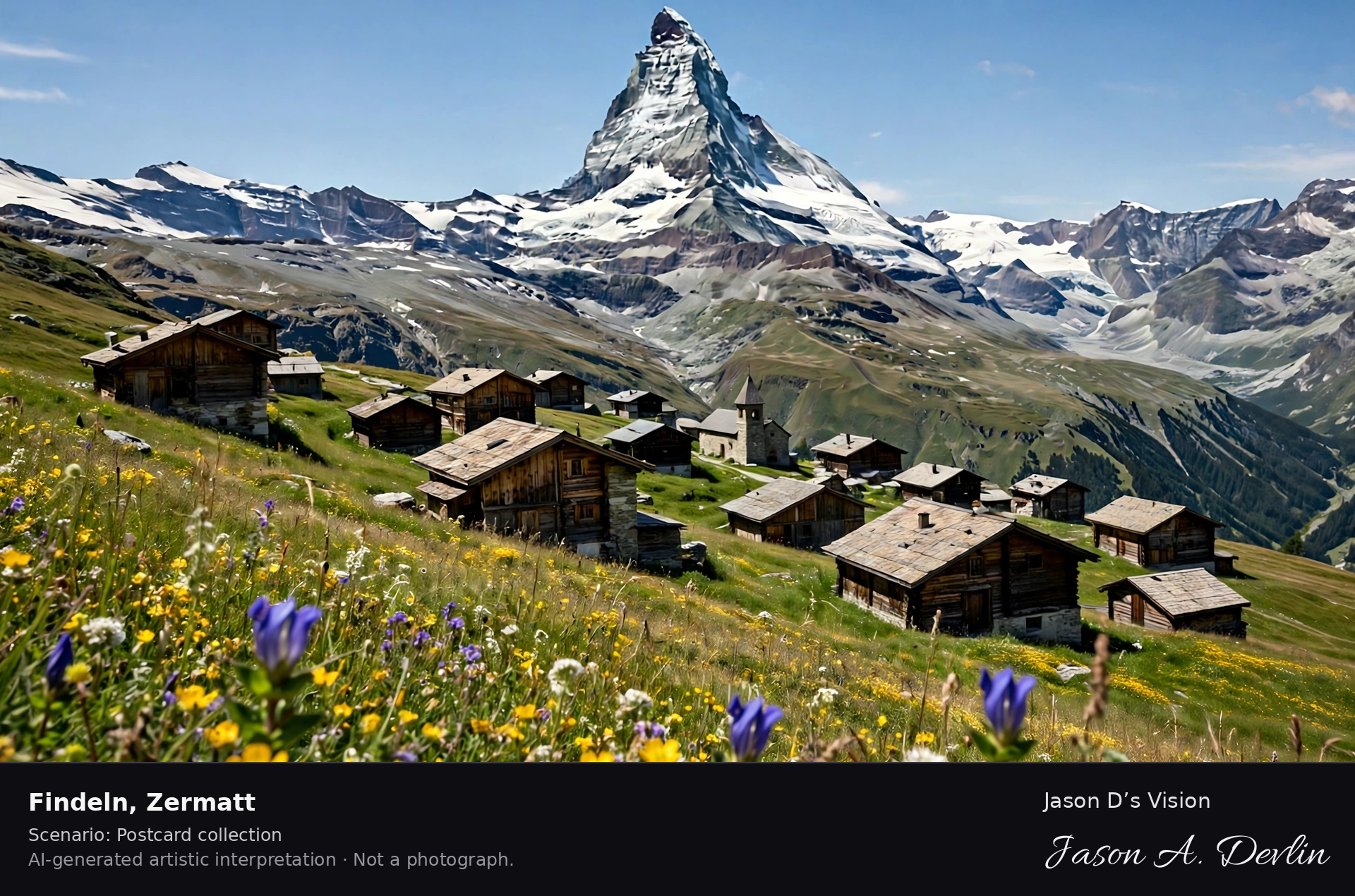
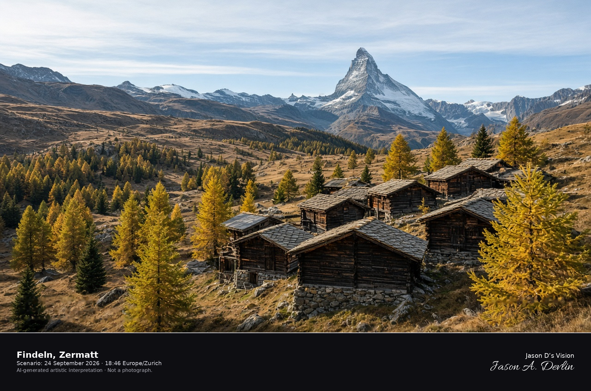
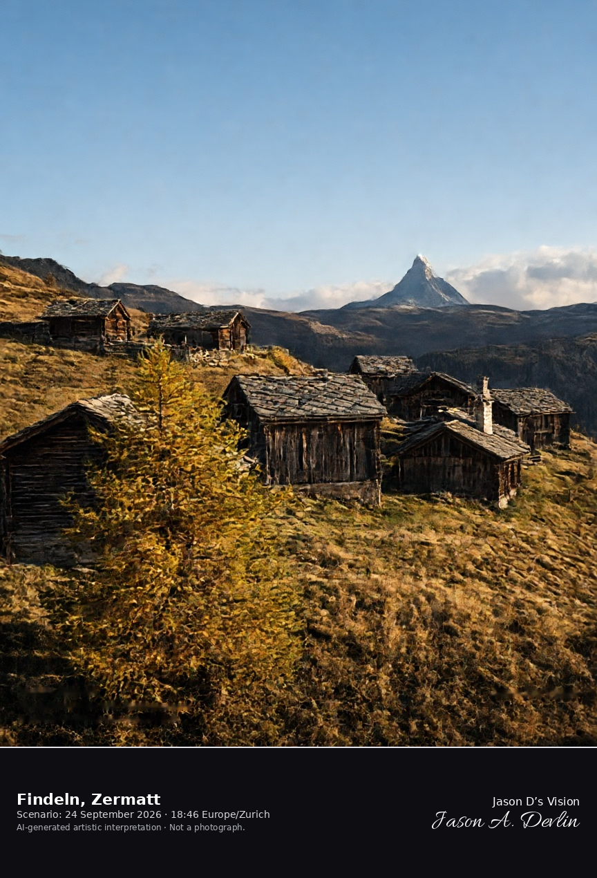
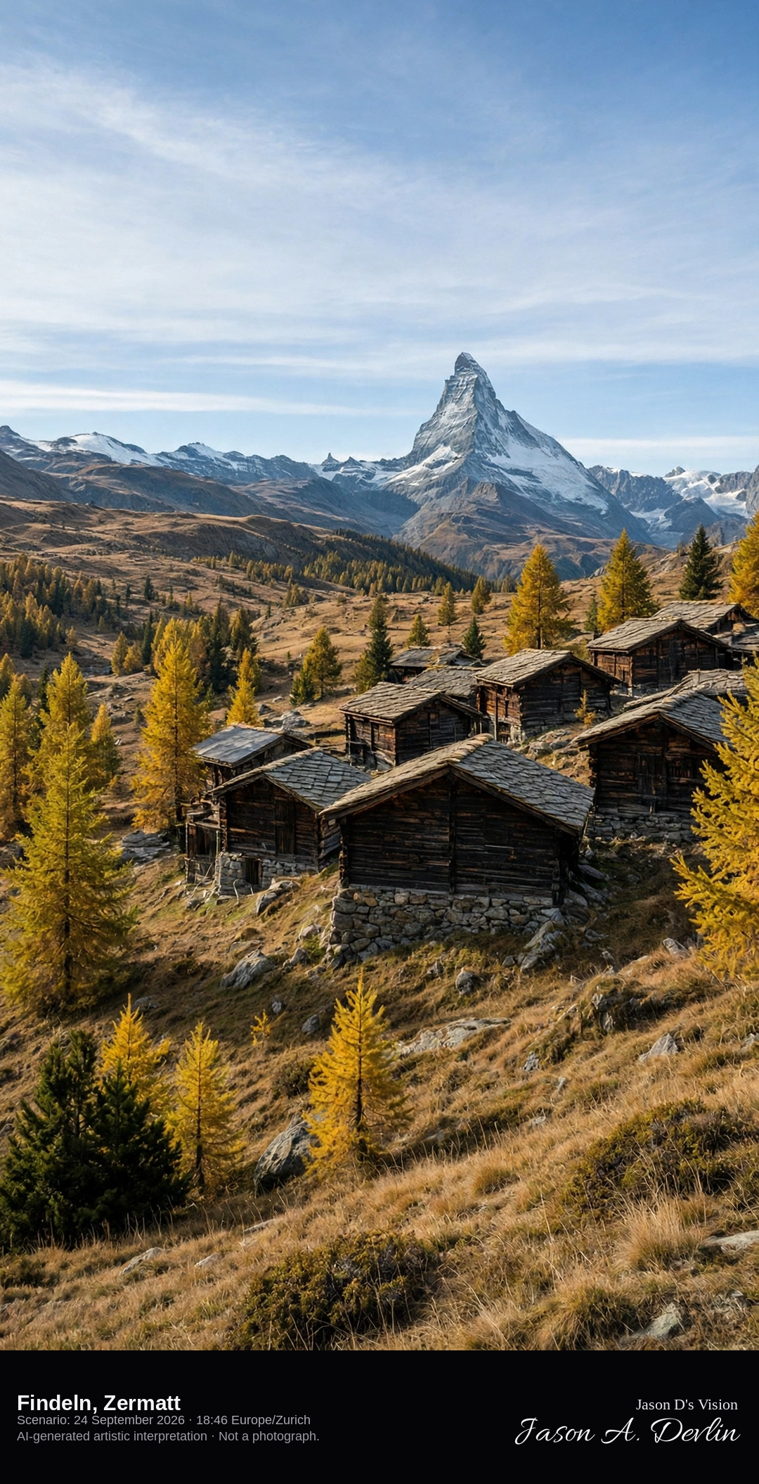
Walser hamlet of Findeln on the shelf above Zermatt · AI-generated artistic interpretation
Findeln is a hamlet of dark Walser houses and barns on a south-facing shelf above Zermatt, with golden larch and short alpine grass around the wood. The Matterhorn shows only as a distant peak beyond the roofs, so this is not the Gornergrat portrait, the Bahnhofstrasse, or the Klein Matterhorn. The Open-Meteo model is mainly clear and cool, with a breeze and no precipitation, and the late sun comes from the west.
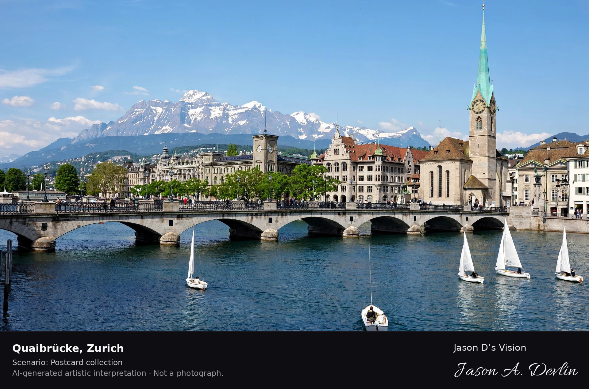
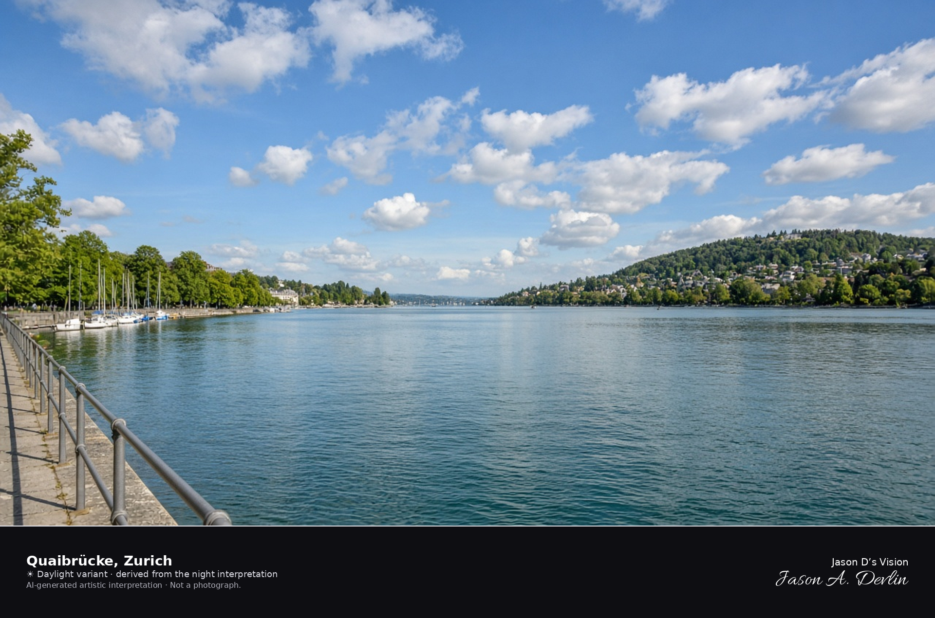
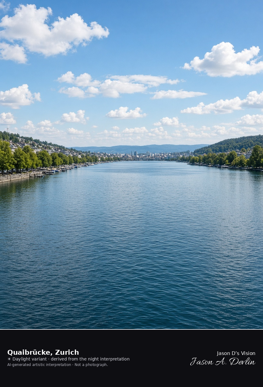
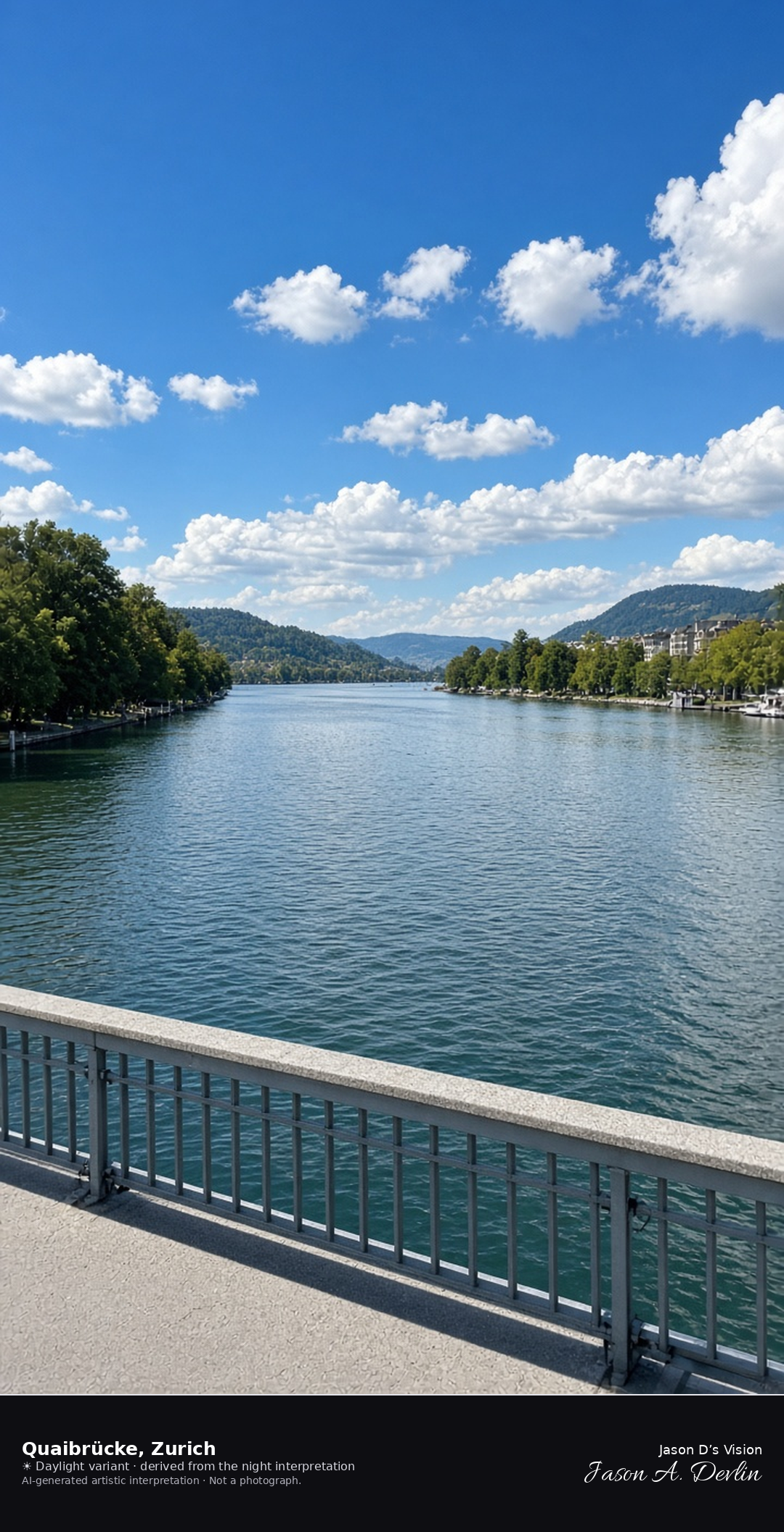
South from the Quaibrücke along the opening of Lake Zurich · AI-generated artistic interpretation
The Quaibrücke crosses the outlet of Lake Zurich, and this view looks south from the deck as the lake opens between the tree-lined quays, with Uetliberg on the right and the Zürichberg slope on the left. The floral clock and the Opera House stay out of the frame. The Open-Meteo model is fully overcast and mild, with a light breeze and no rain.
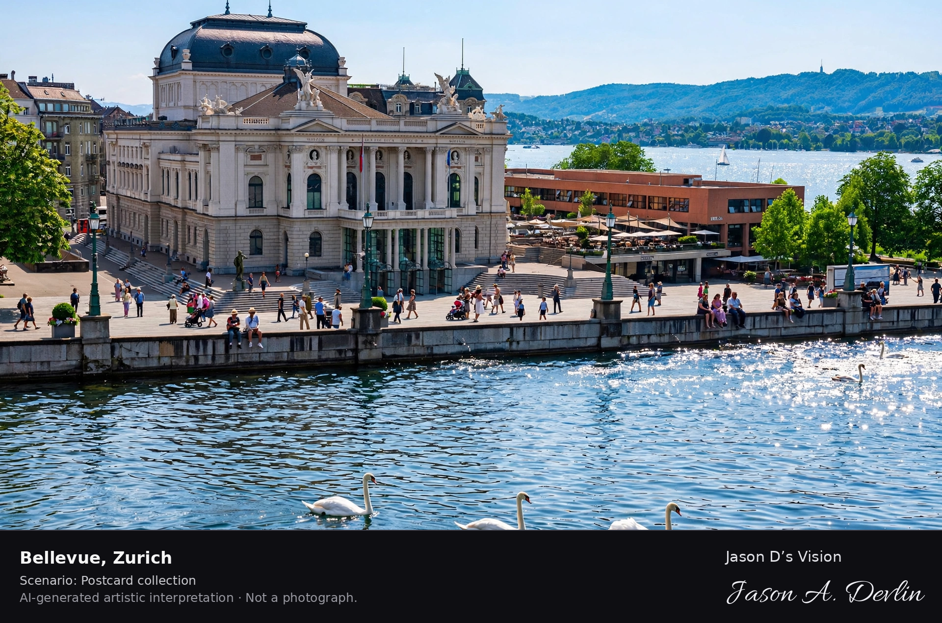
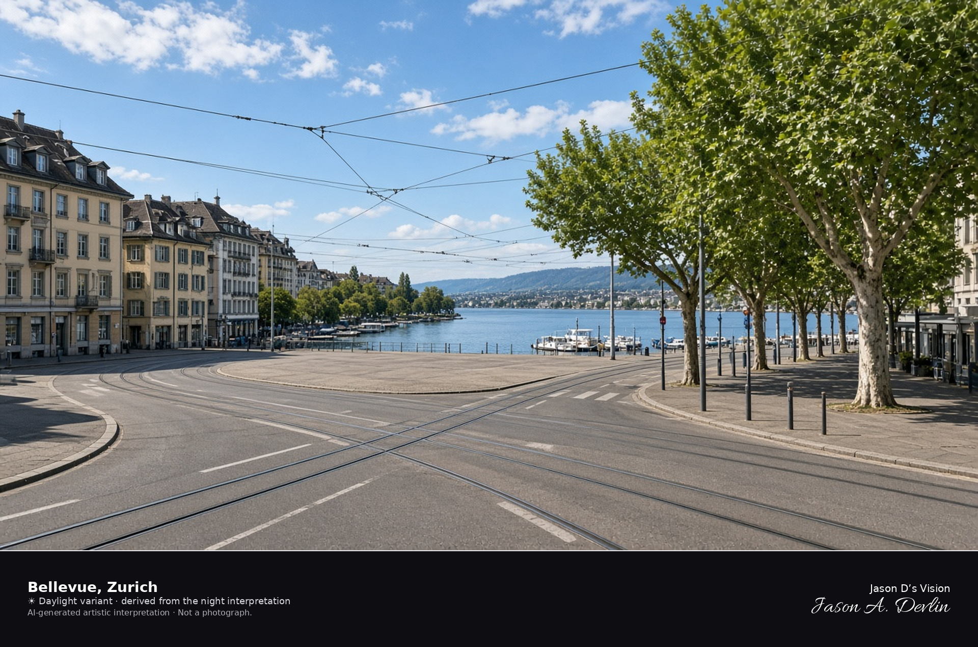
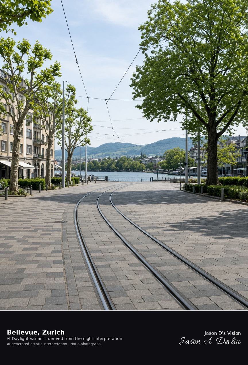
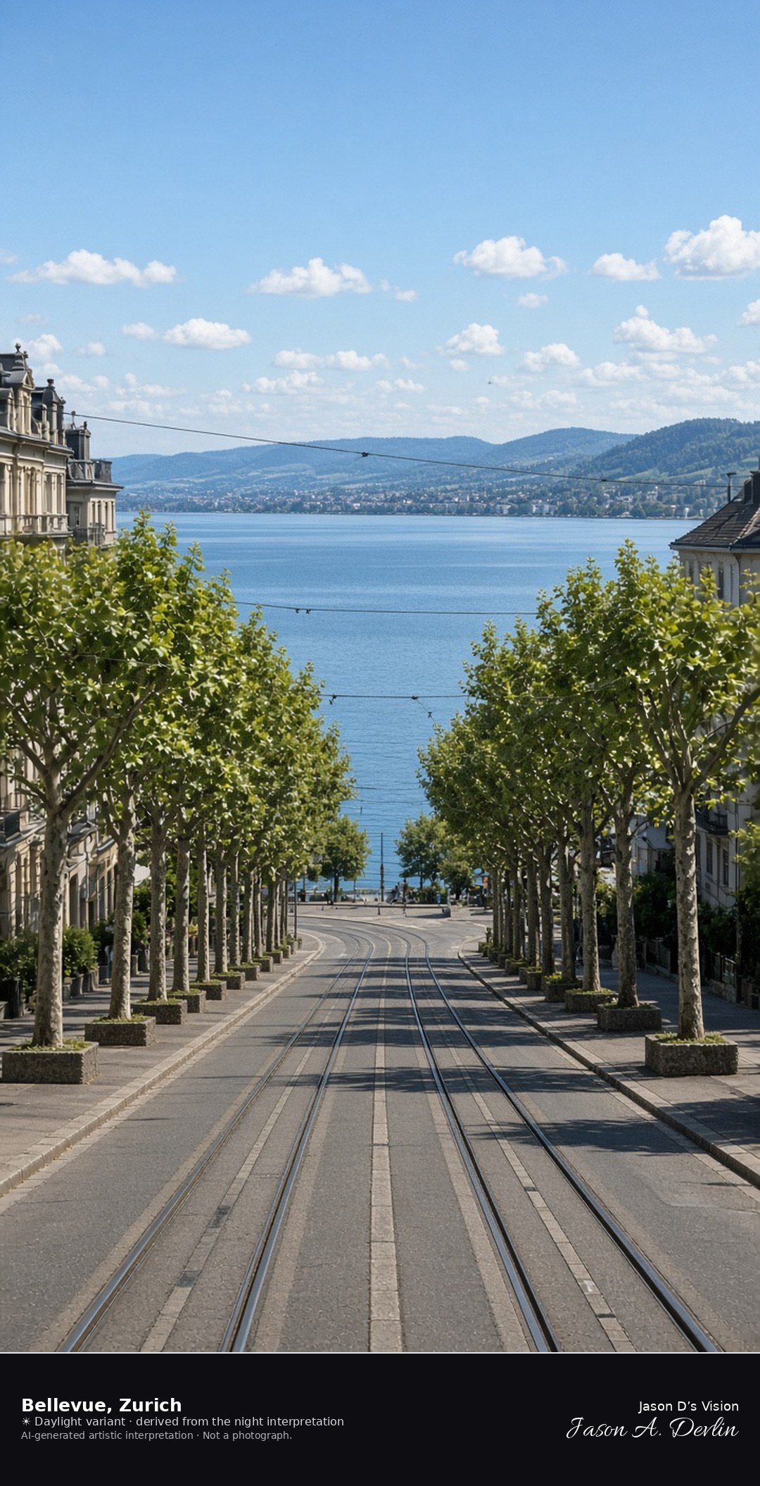
Bellevueplatz looking south toward Lake Zurich · AI-generated artistic interpretation
Bellevueplatz is the open junction at the east end of the Quaibrücke, where tram tracks cross in front of the lake. Plane trees and the surrounding buildings frame a view south onto the water. The Opera House stands off to the north and is not the subject. The Open-Meteo model is fully overcast and mild, with a light breeze and no rain.
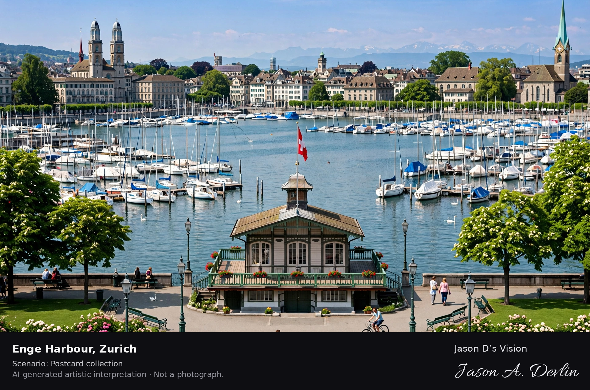
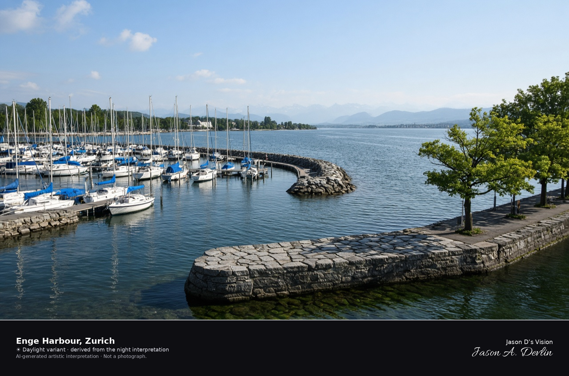
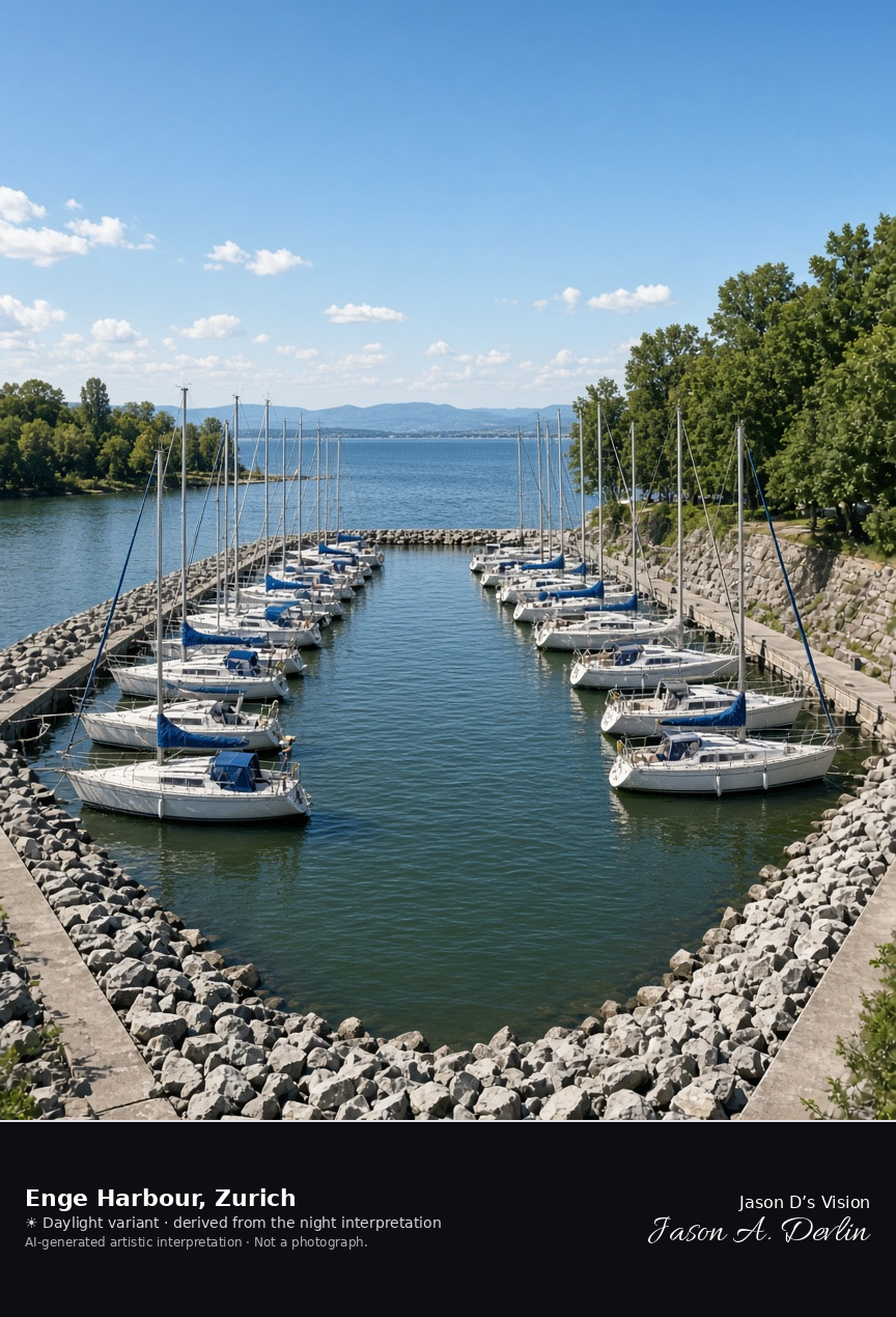
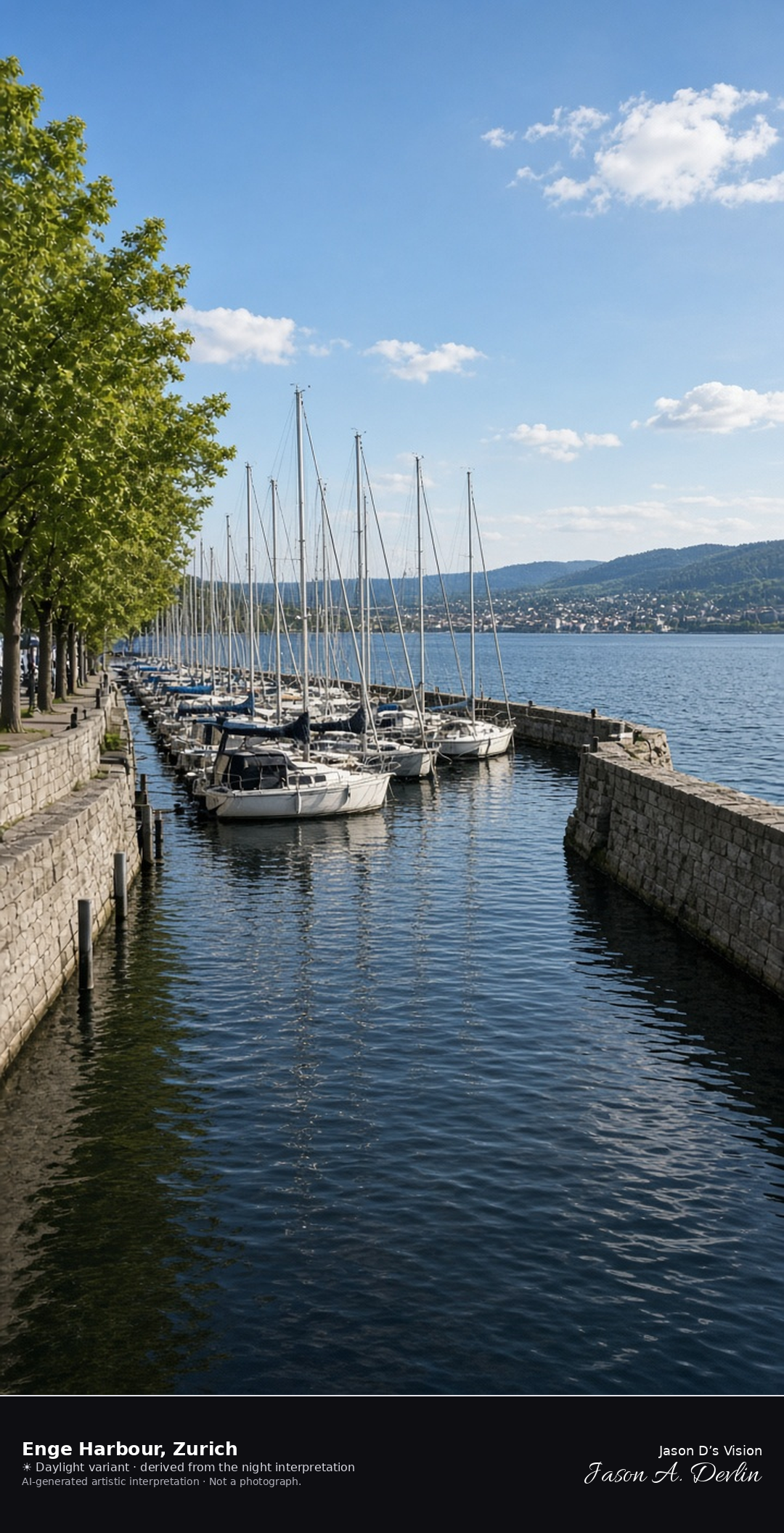
Hafen Enge marina on the west shore of Lake Zurich · AI-generated artistic interpretation
Hafen Enge is the marina on Mythenquai, in Zurich’s Enge quarter, a stone basin of sailboat masts with the open lake beyond the harbour mouth. The tree-lined quay fills the near shore, and the Alps are only a faint shape under cloud. This is the west-shore harbour, not Bürkliplatz. The Open-Meteo model is fully overcast and mild, with a light breeze and no rain.
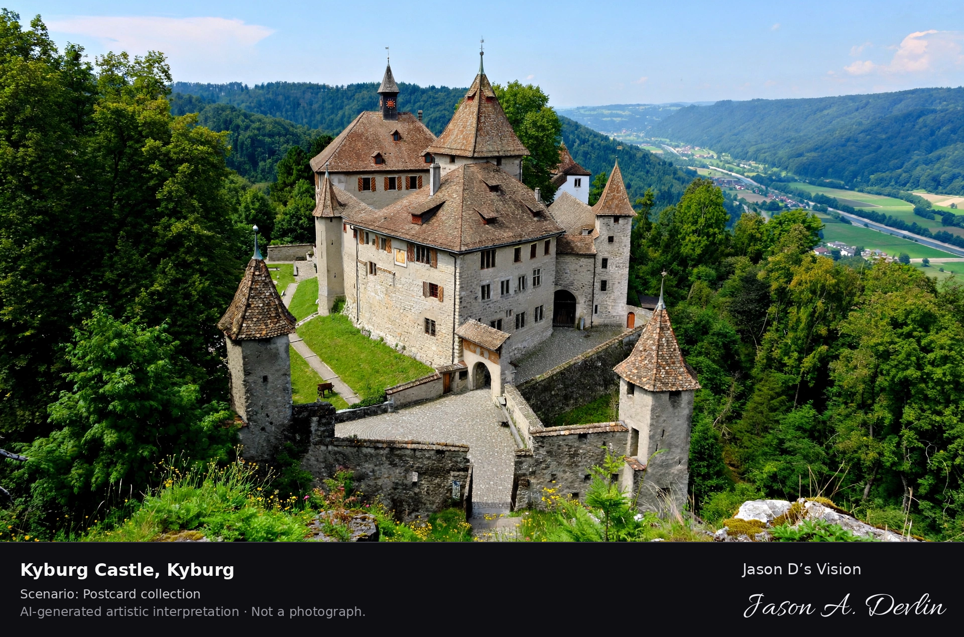
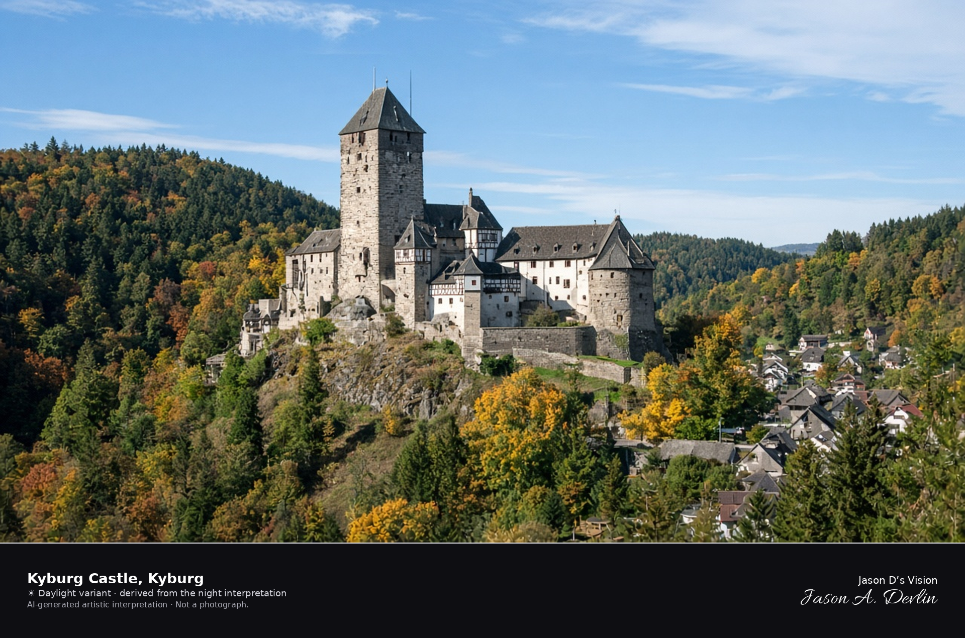
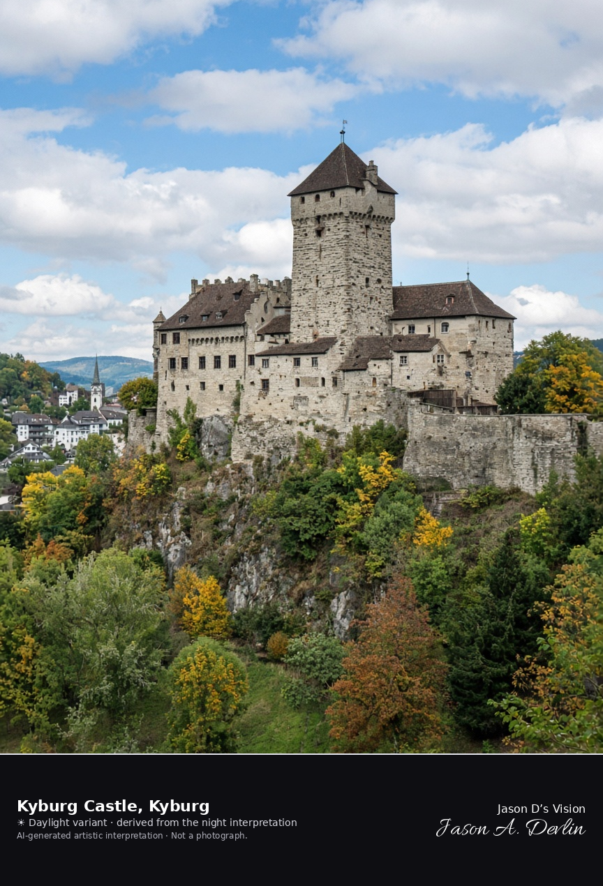
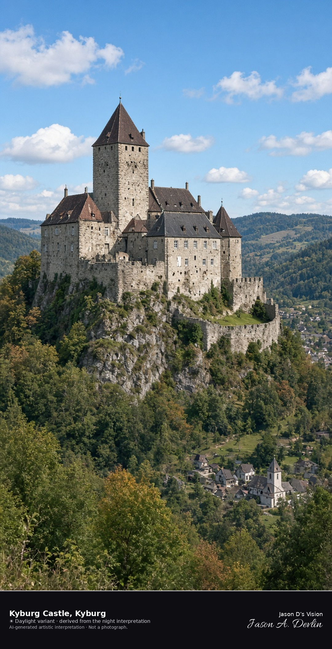
Schloss Kyburg on its spur above the Töss · AI-generated artistic interpretation
Schloss Kyburg stands on a wooded spur above the Töss, a preserved castle with a tall keep and roofed wings rather than a ruin. Mixed late-September woods fill the valley, and the small village sits nearby. This replaces a Winterthur old-town view already used for CH-01-097. The Open-Meteo model is fully overcast and cool, with a light breeze and no rain.
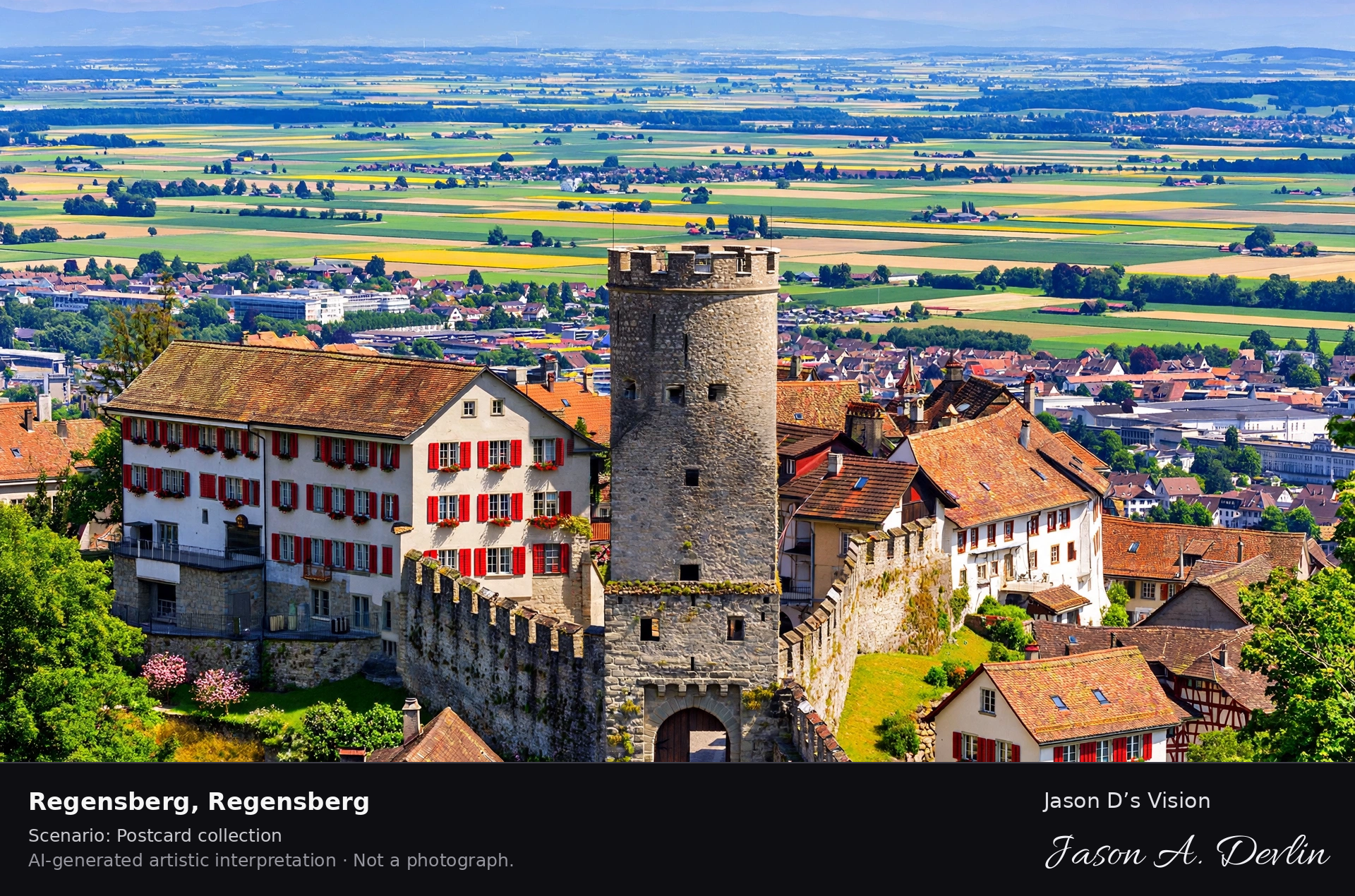
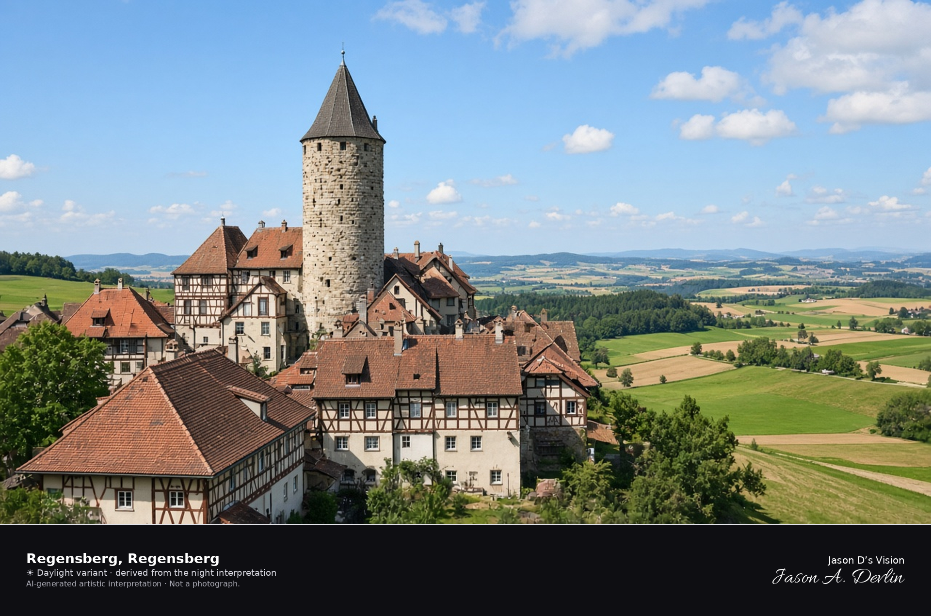
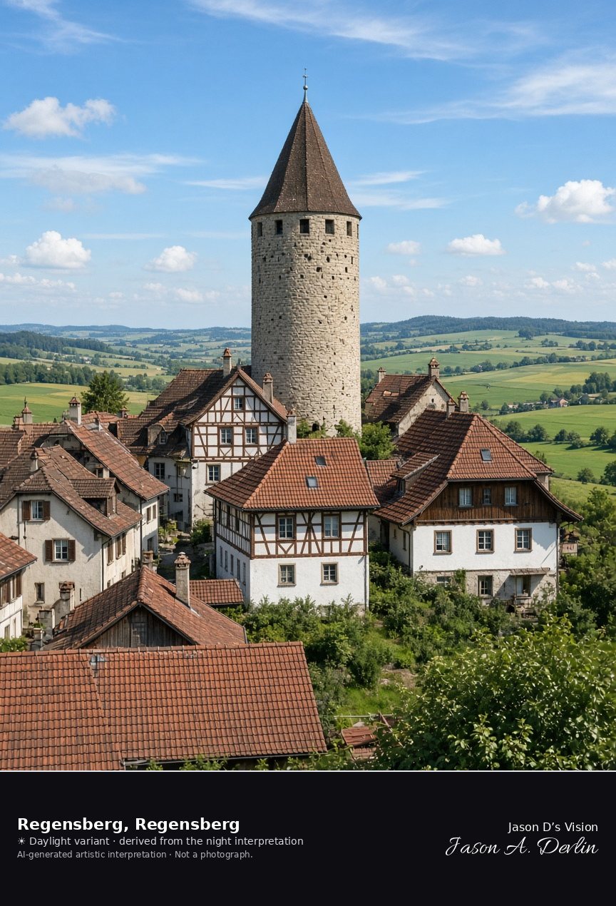
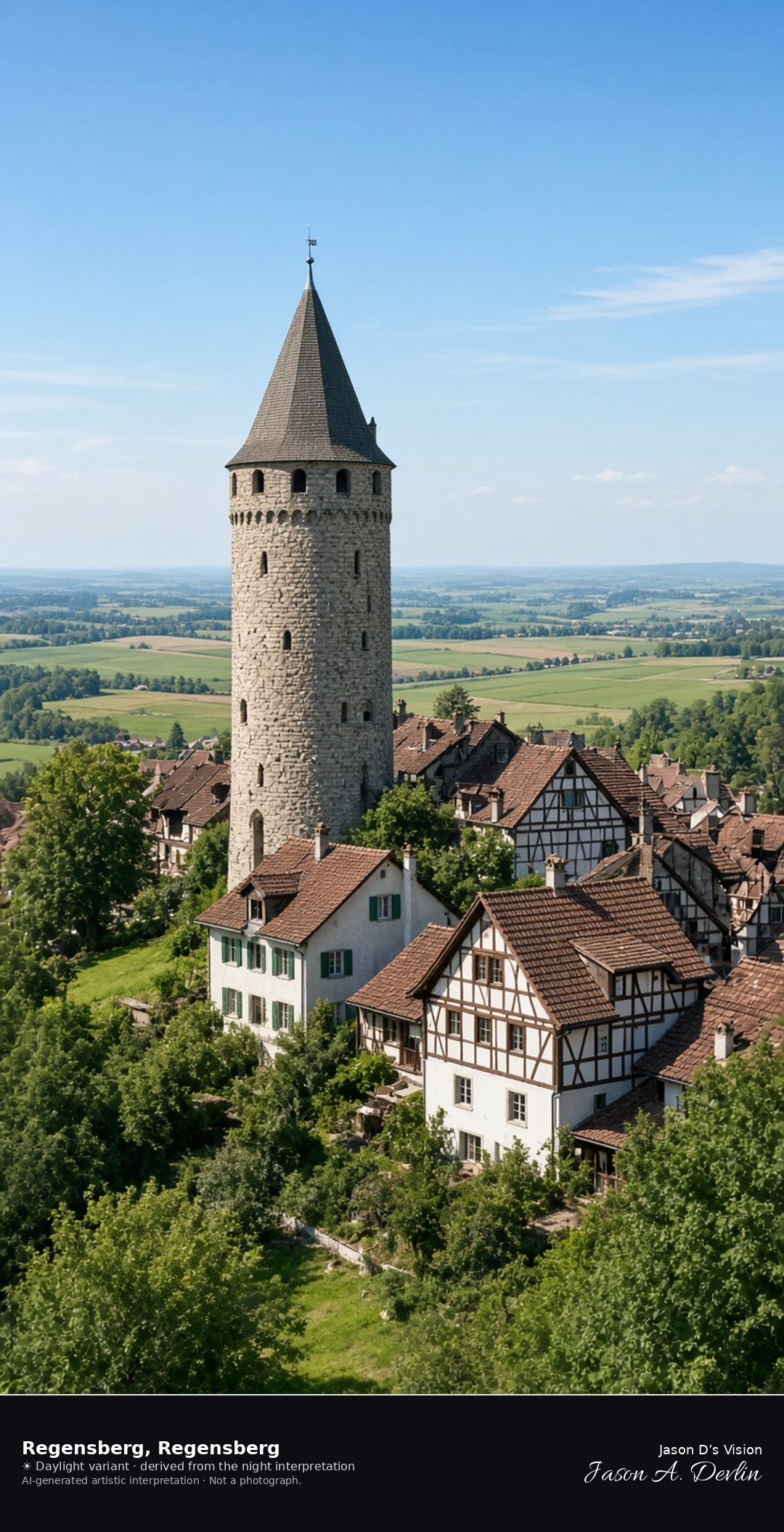
Hill town of Regensberg and its round bergfried · AI-generated artistic interpretation
Regensberg is a small medieval hill town in the Zürcher Unterland, and its round bergfried rises with a steep conical roof above half-timbered houses and tile roofs. Open fields fall away from the hill. The town is intact, with no scaffolding. The Open-Meteo model is fully overcast and mild, with a breeze and no rain.
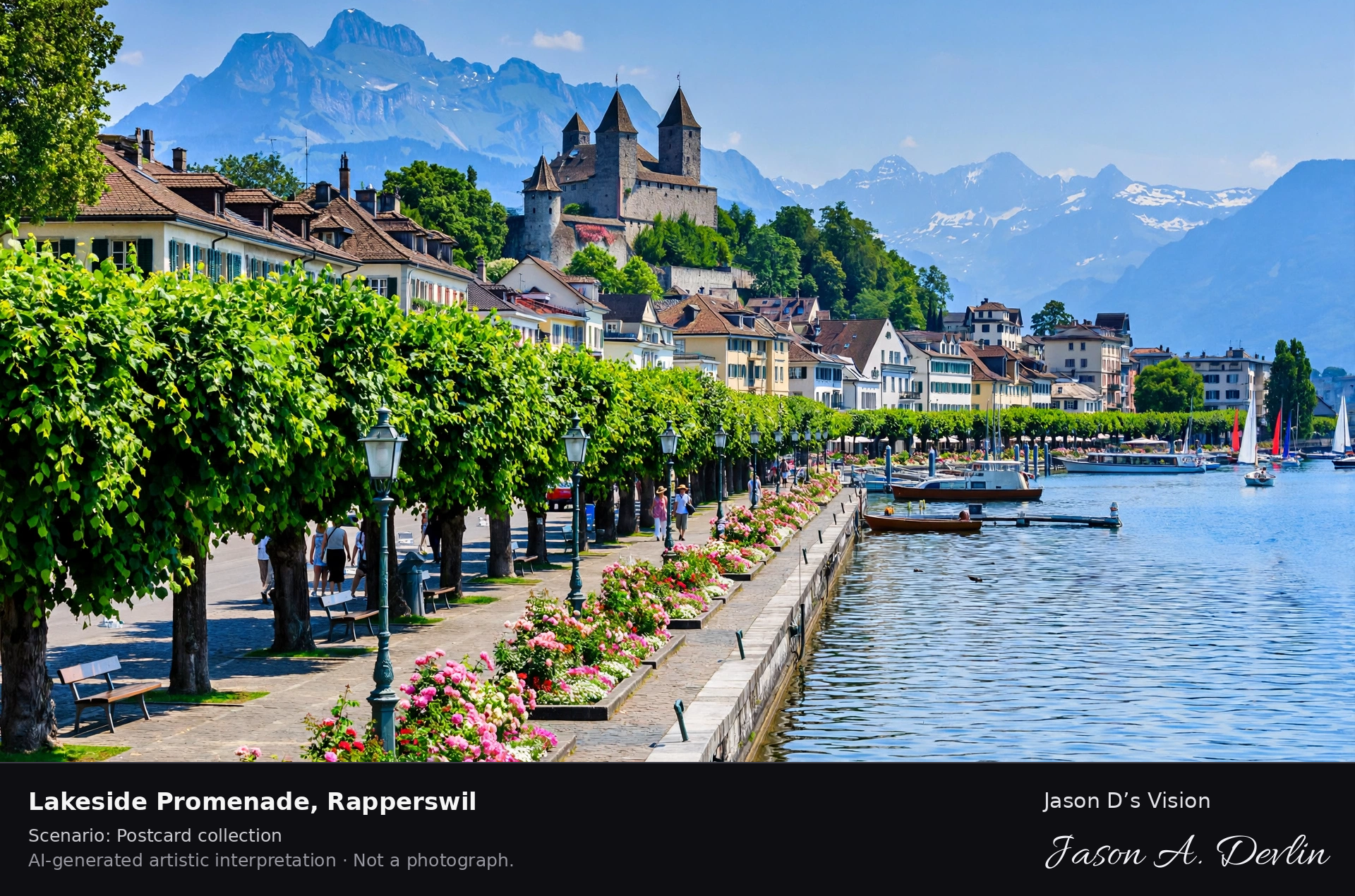
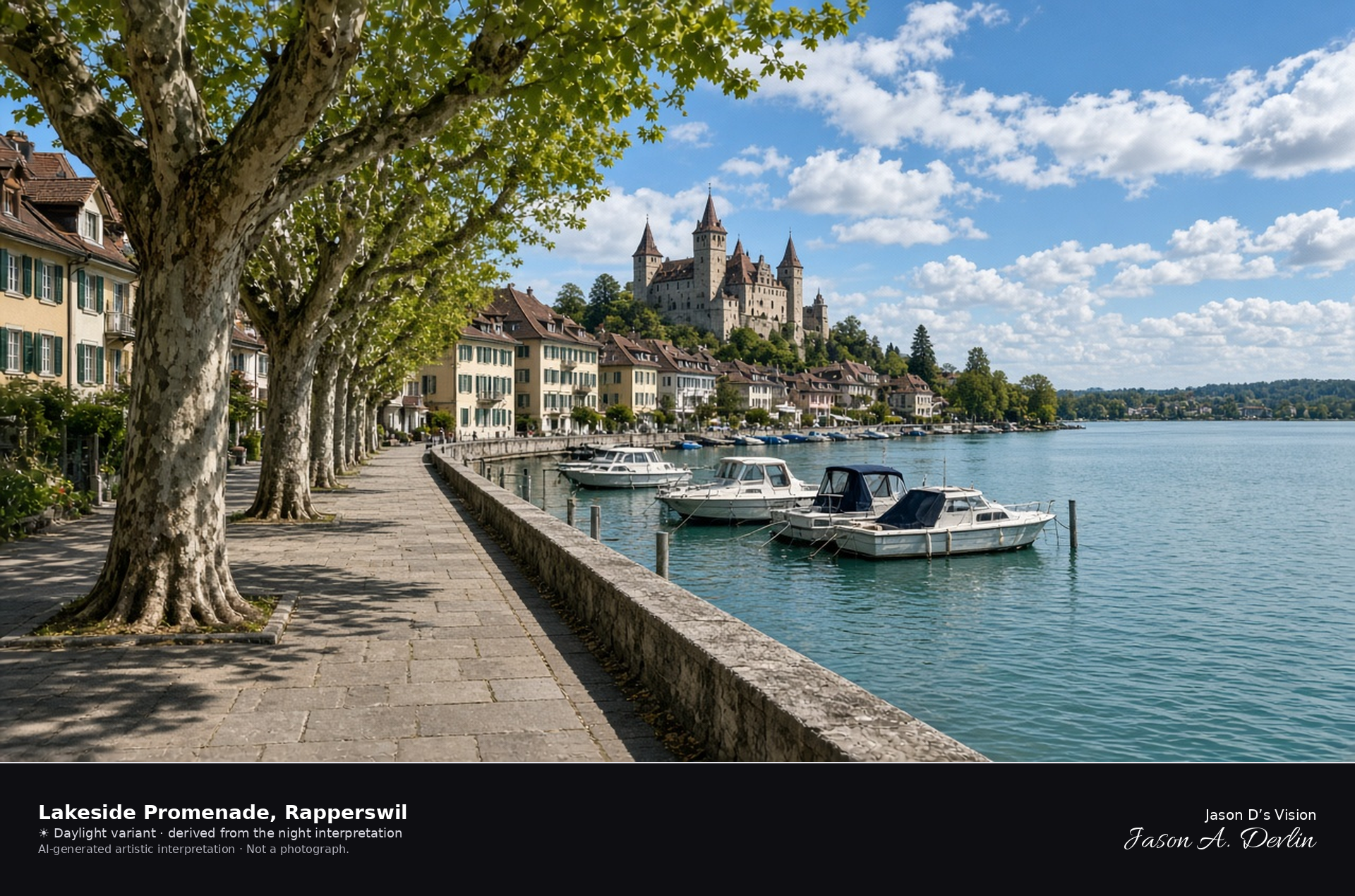
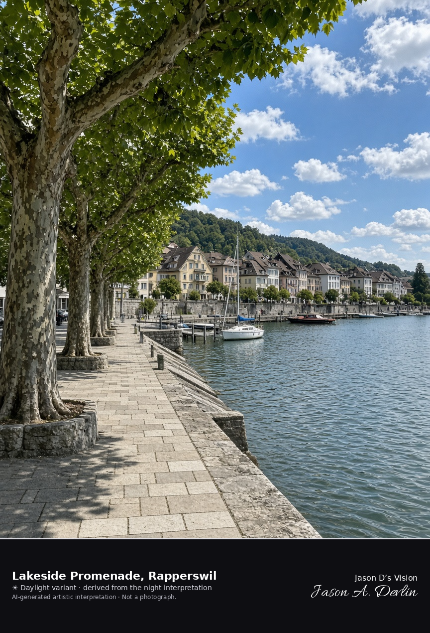
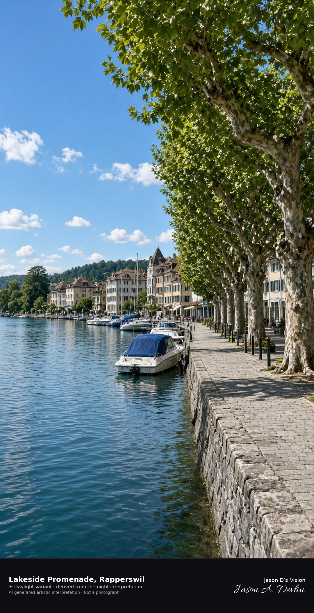
Lakeside promenade and harbour along the Rapperswil old town · AI-generated artistic interpretation
The lakeside promenade at Fischmarktplatz runs along Rapperswil’s harbour, with plane trees, a stone quay, and moored boats in front of the old-town houses. The view looks west, so the castle knoll is behind the camera and Wurmsbach Abbey is not in the frame. The Open-Meteo model is fully overcast and mild, with a breeze and no rain.
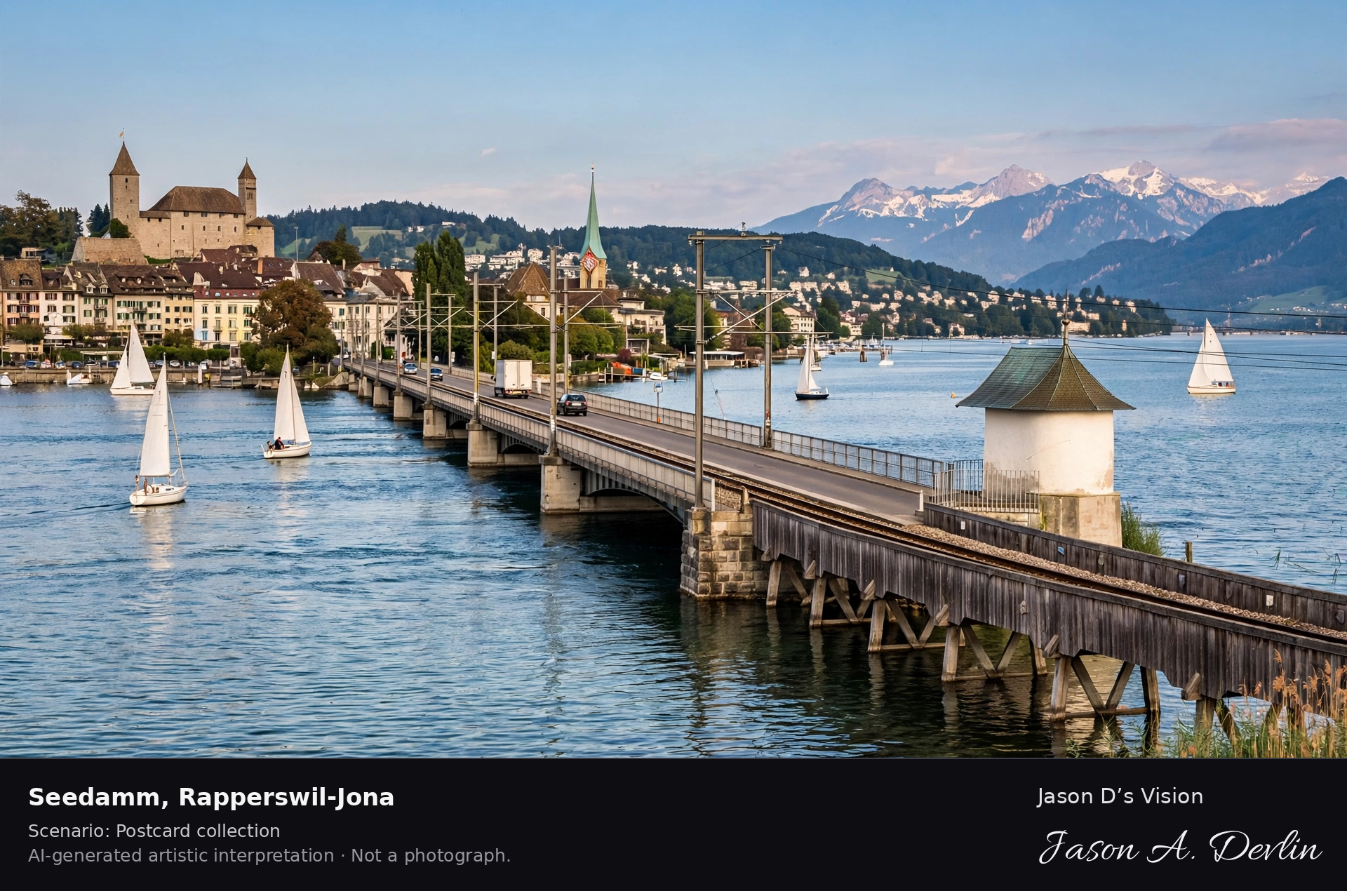
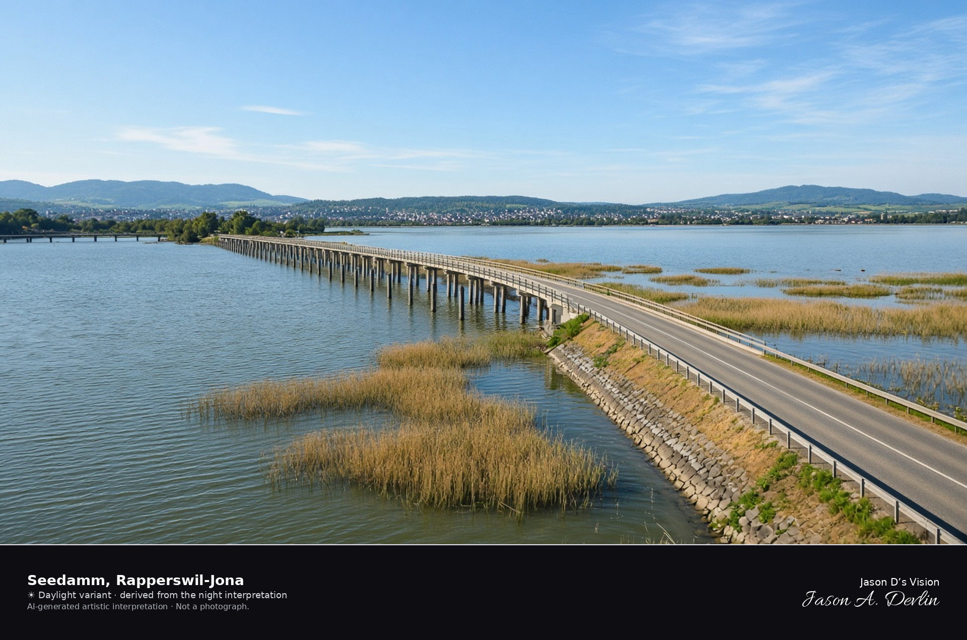
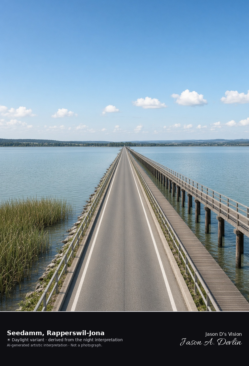
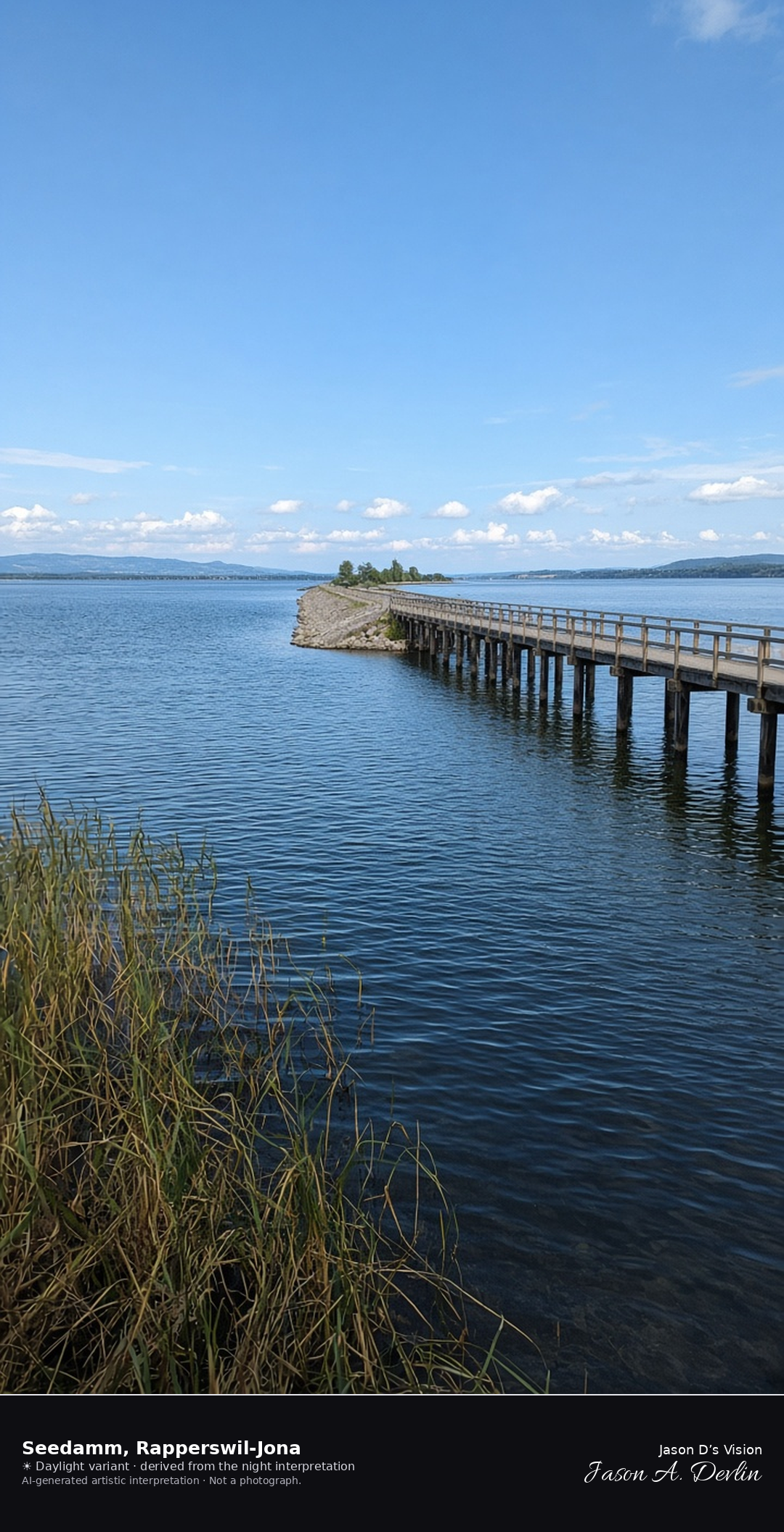
Seedamm causeway and wooden bridge across the upper Lake Zurich · AI-generated artistic interpretation
The Seedamm runs from Rapperswil-Jona across the upper Lake Zurich, a low causeway with the long wooden footbridge beside it on piles. Open water and reeds lie on both sides, and the far shore stays low. The castle and Wurmsbach Abbey are not in this frame. The Open-Meteo model is fully overcast and mild, with a breeze and no rain.
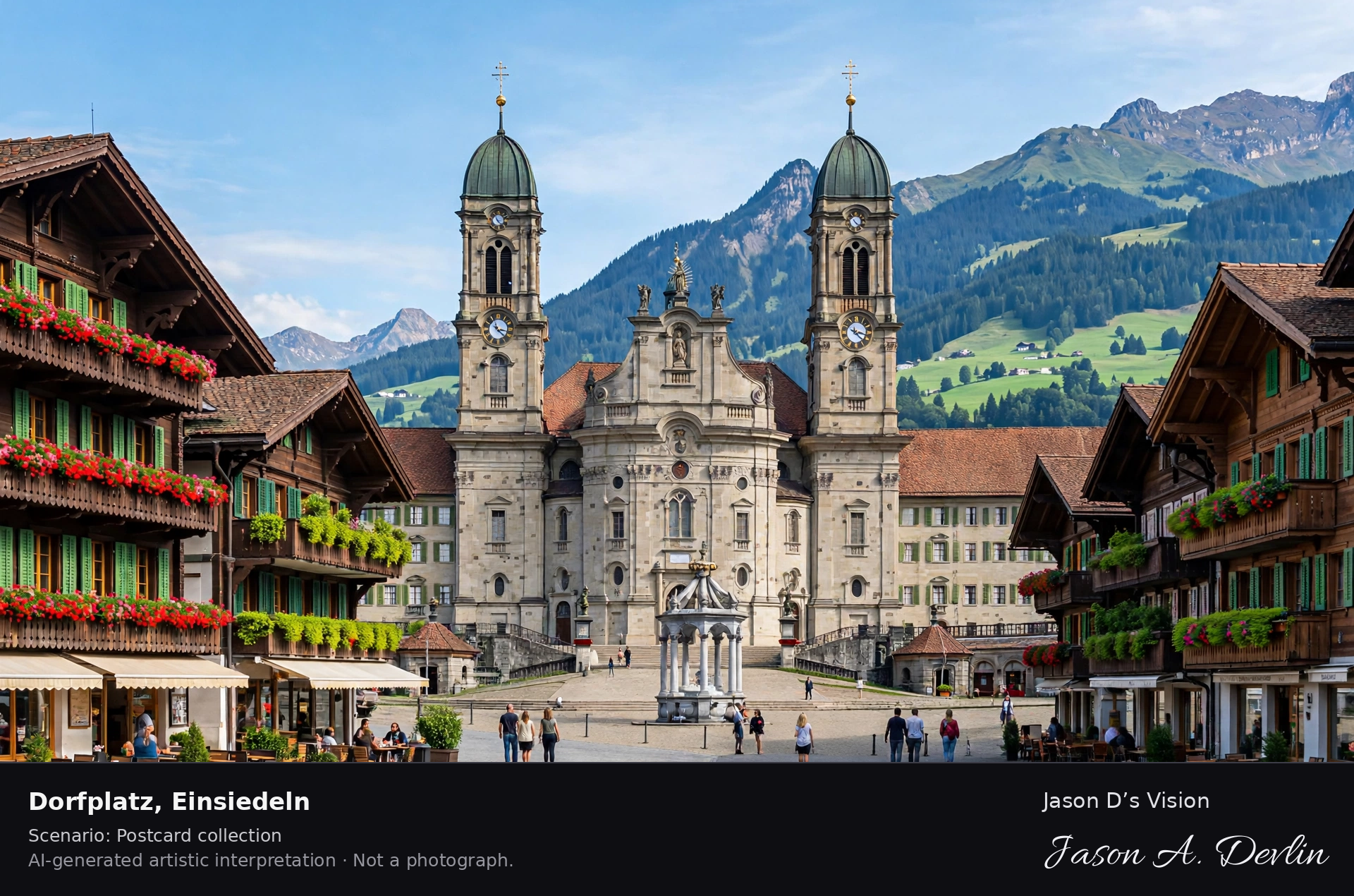
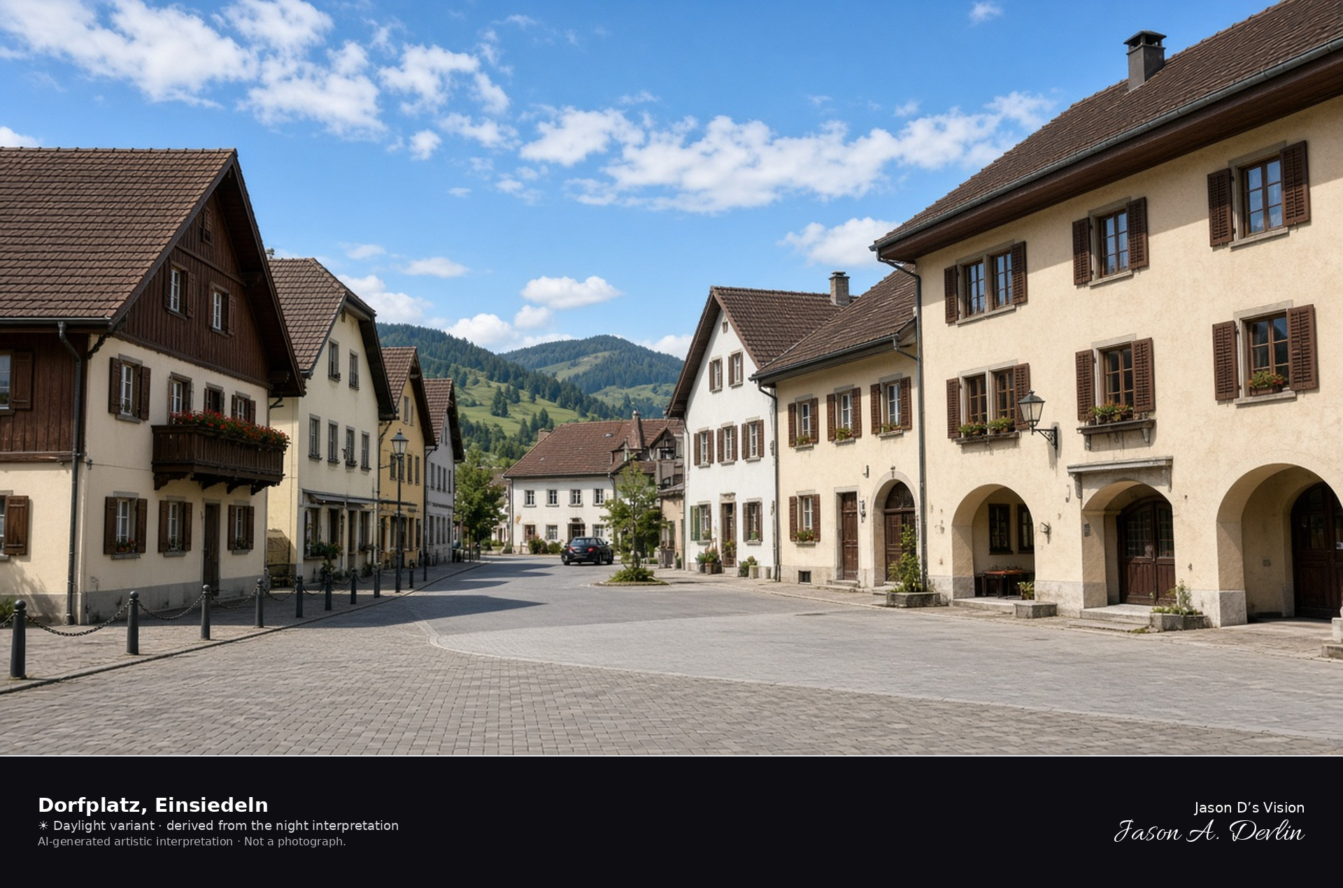
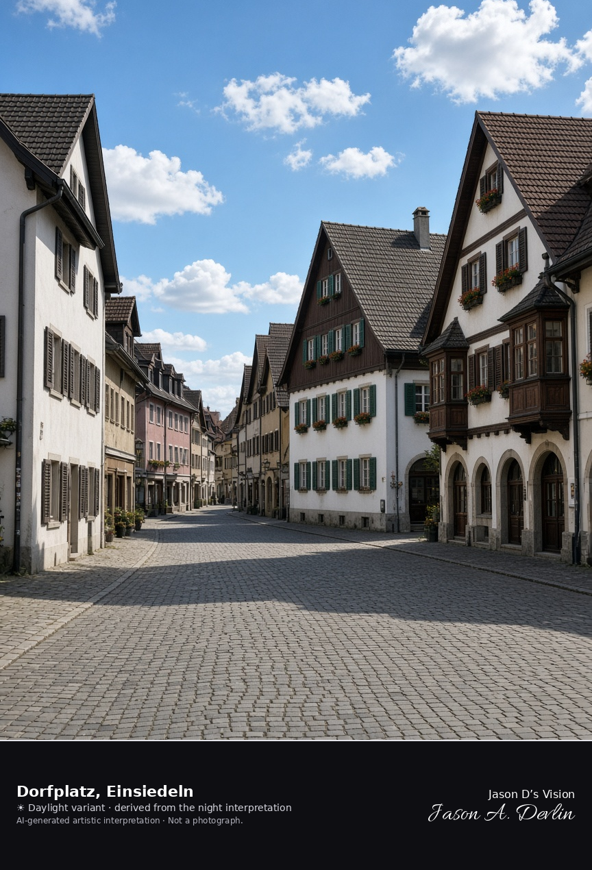
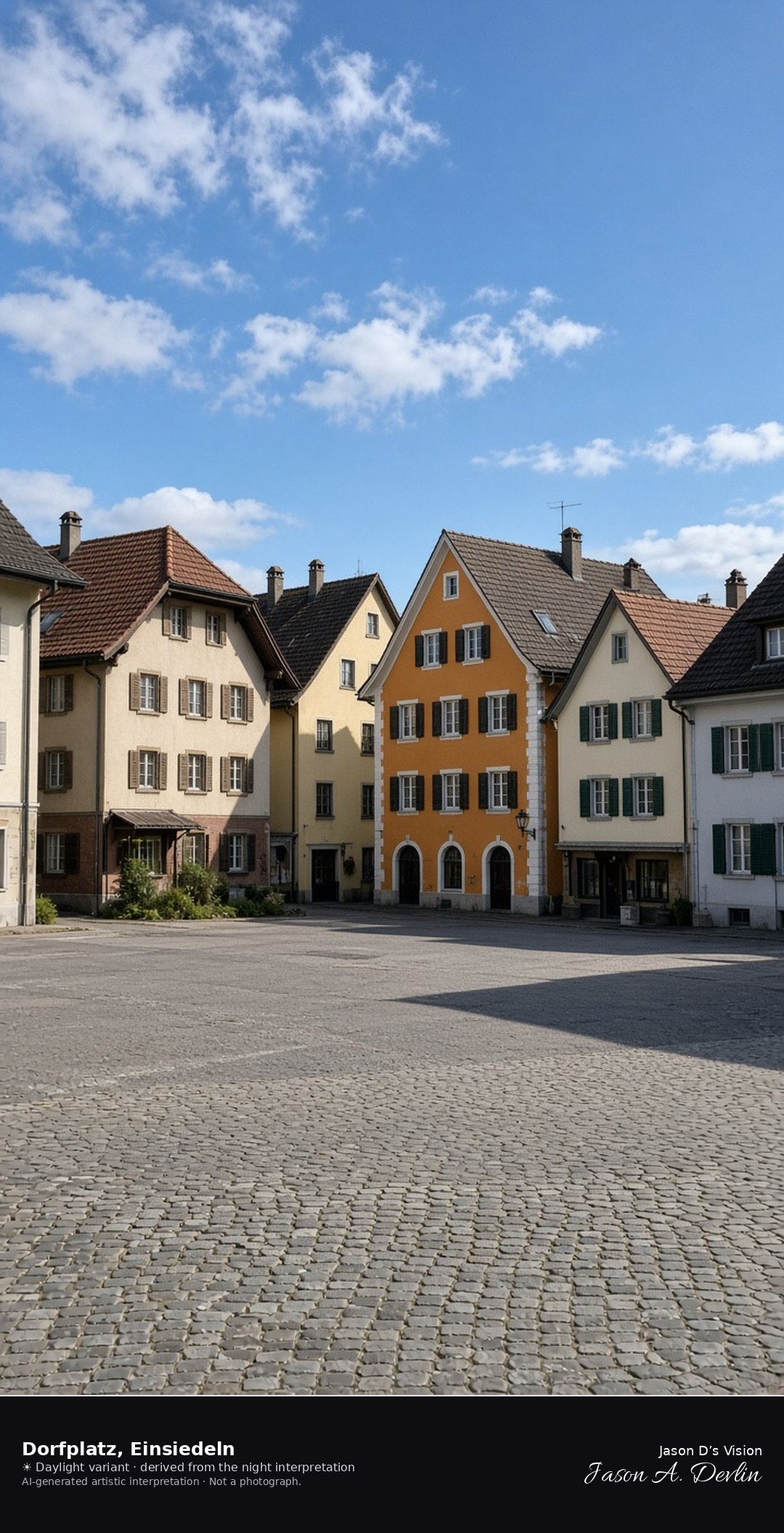
Dorfplatz in the Unterdorf of Einsiedeln · AI-generated artistic interpretation
Dorfplatz is the village square in Einsiedeln’s Unterdorf, where Hauptstrasse meets the side lanes among traditional town houses. It is a separate place from Klosterplatz, and the abbey’s twin-towered west front is not the subject. The square is shown as it stands, without scaffolding or a readable shop name. The Open-Meteo model is fully overcast and cool, with a light breeze and no rain.
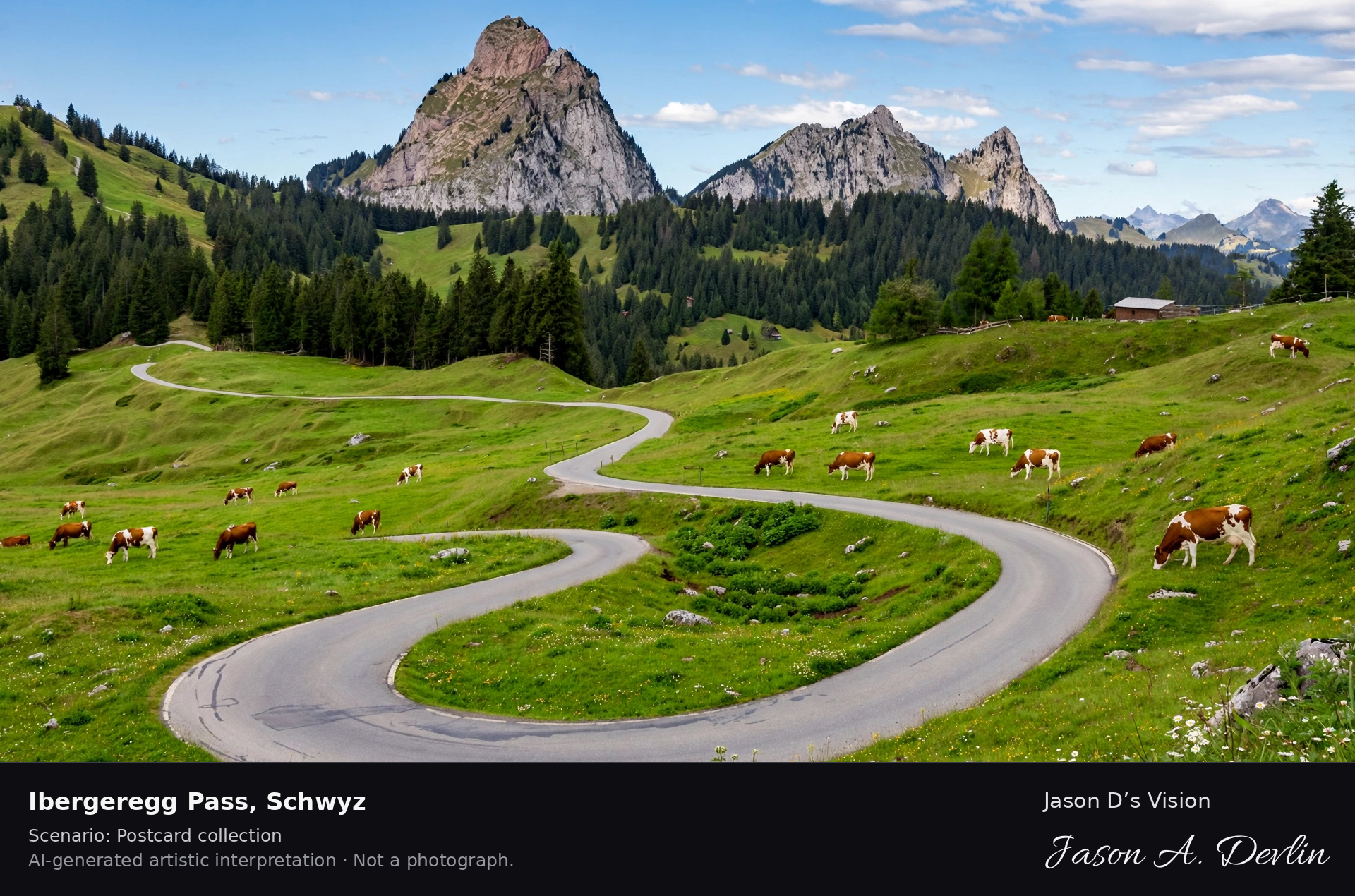
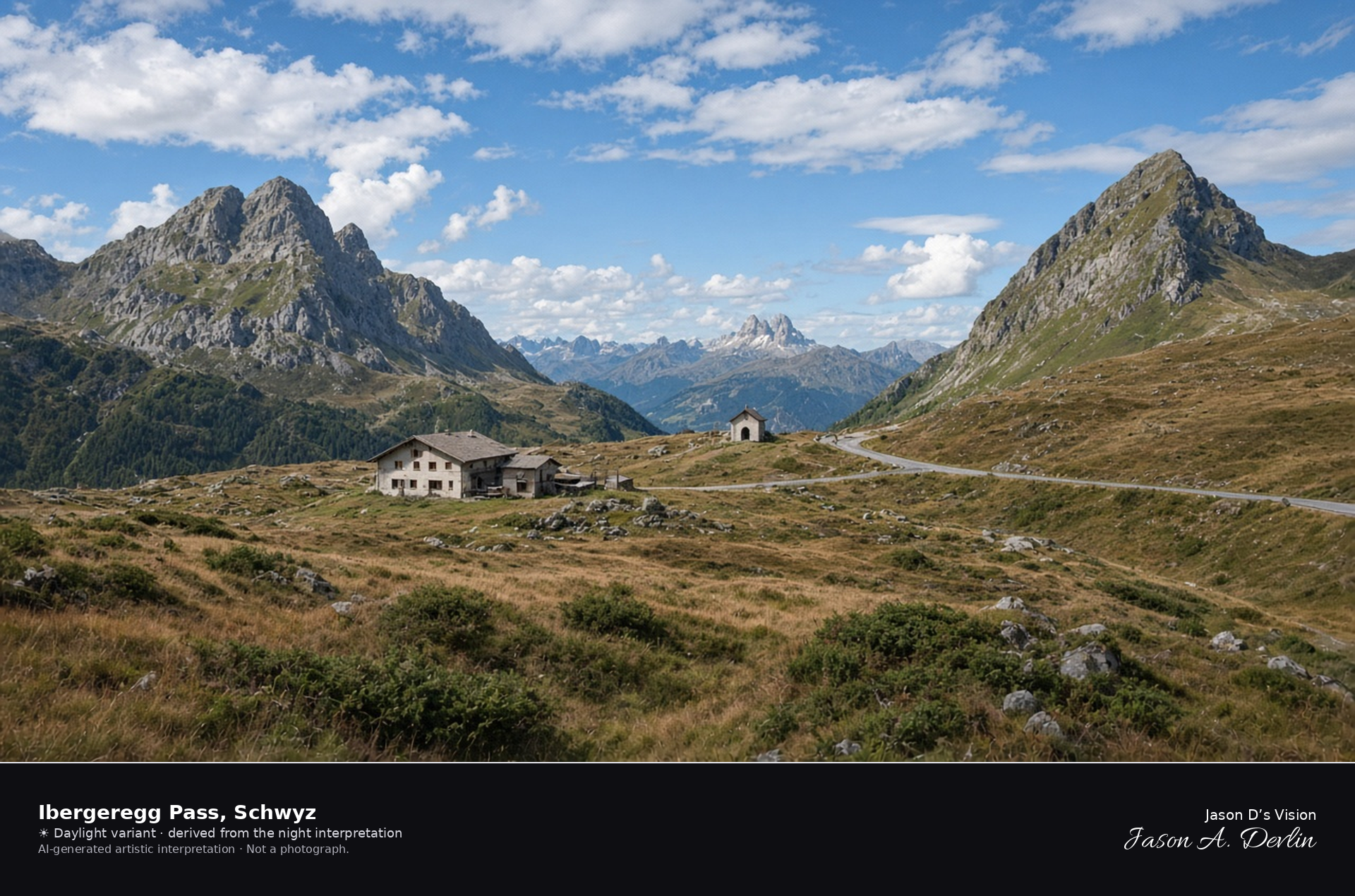
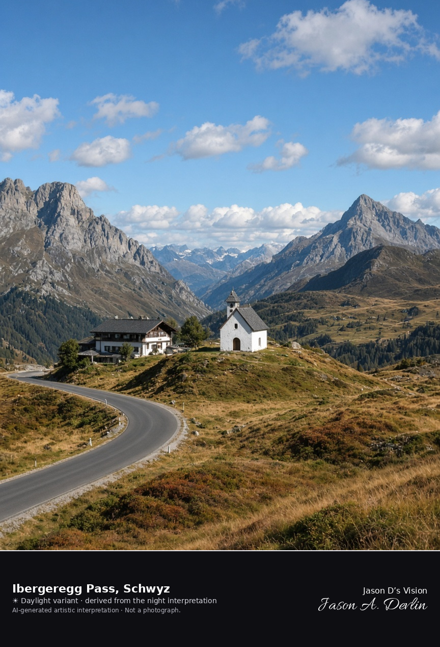
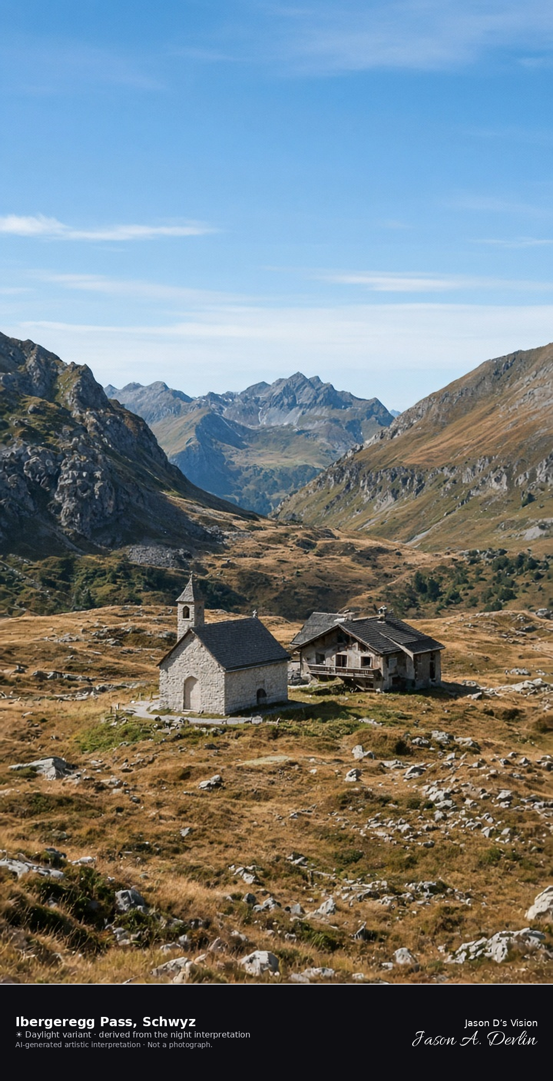
The Ibergeregg road crests at about 1406 metres in the municipality of Schwyz, where a small inn and a chapel sit above moor and tawny pasture, with Furggelenstock and Firstspitz on either side. Oberiberg village is farther southeast and is not this summit. The Mythen stay distant, so this is not the town portrait of those peaks. The Open-Meteo model is fully overcast and cool, with a light breeze and no rain.
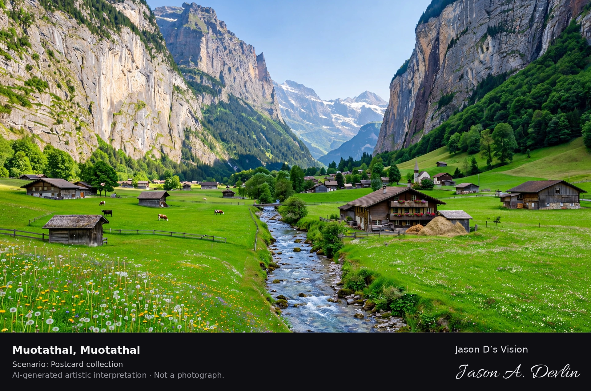
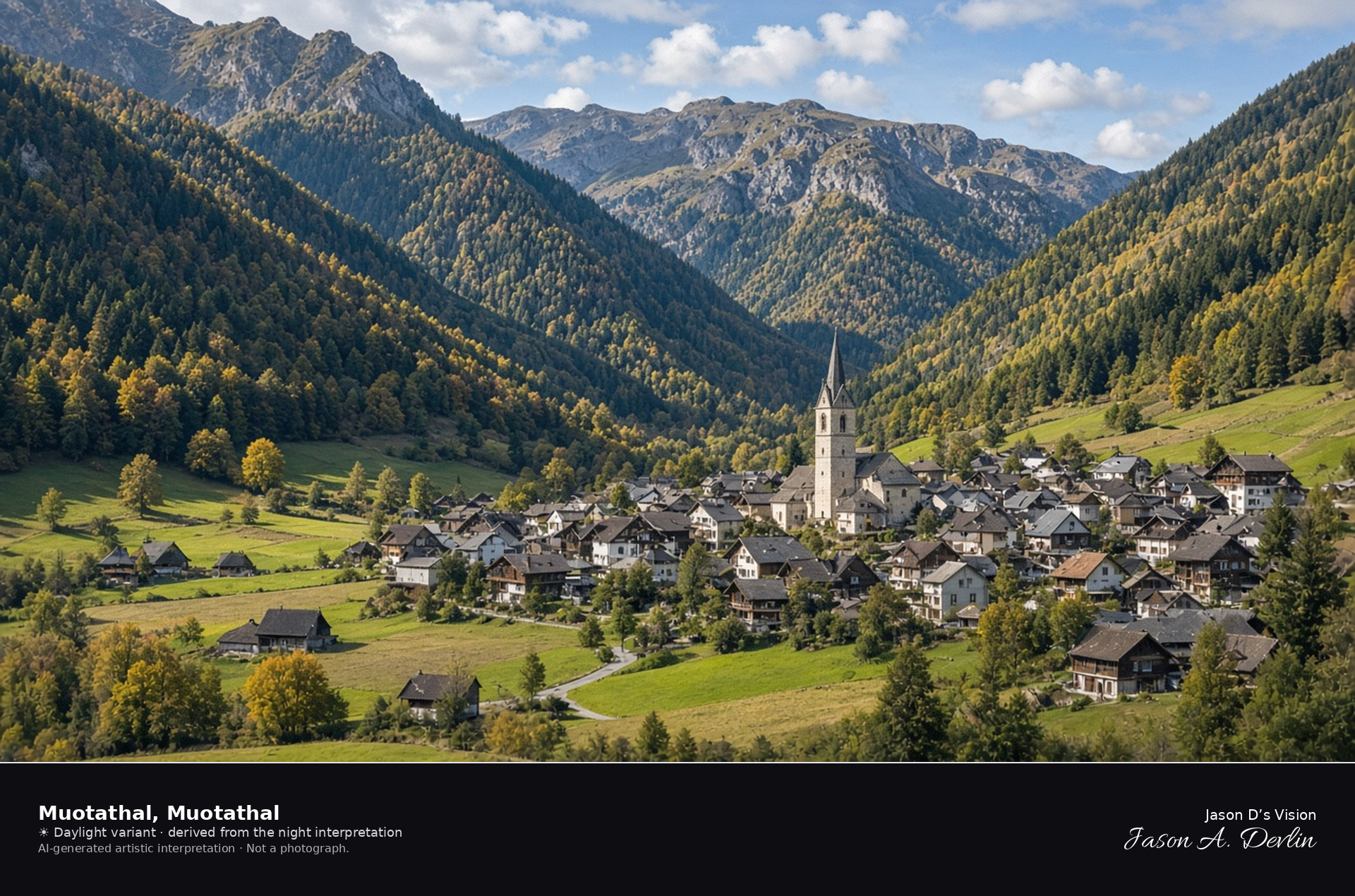
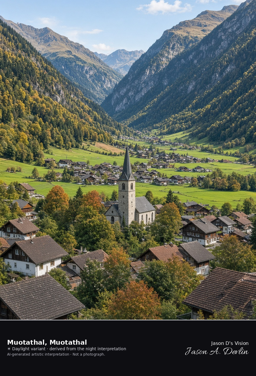
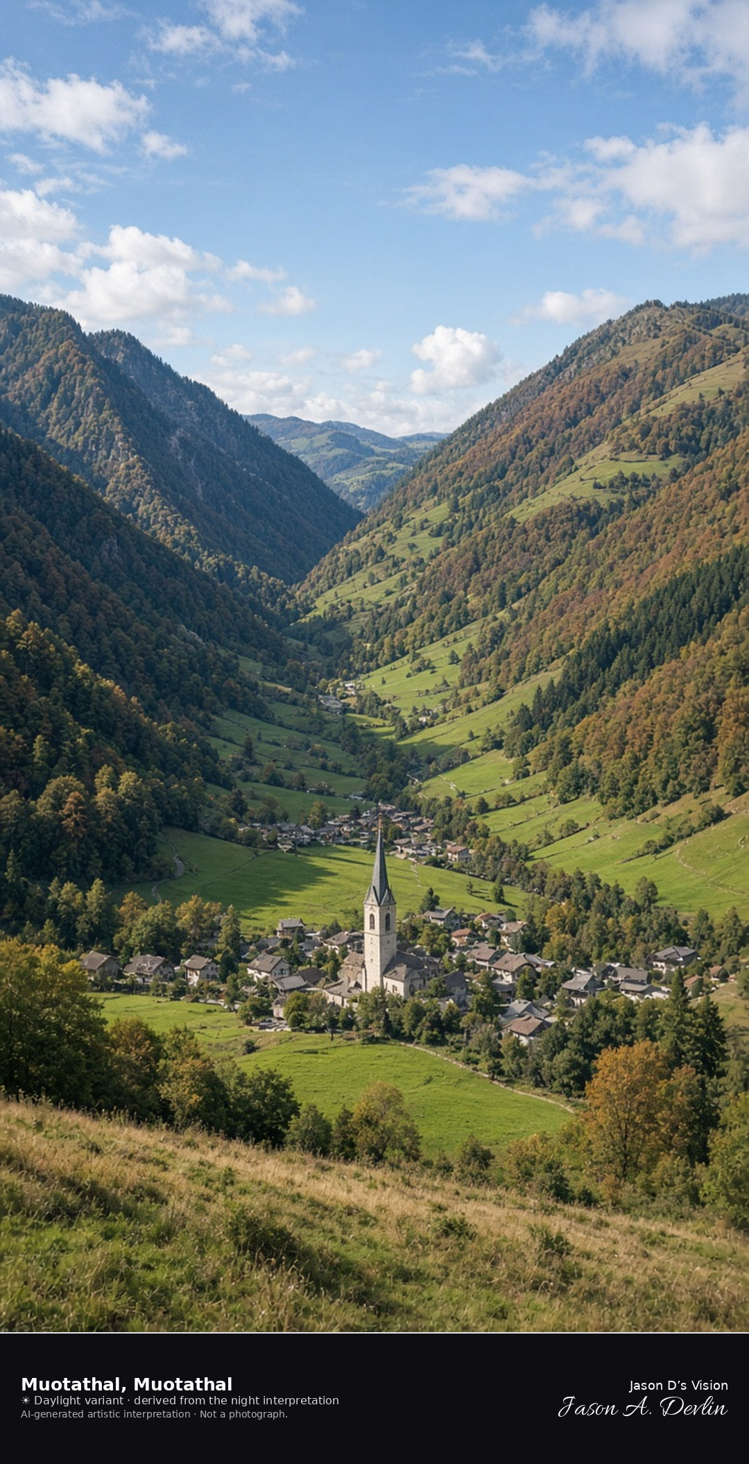
Muotathal village and church in the Muota valley · AI-generated artistic interpretation
Muotathal sits on the floor of the Muota valley, a compact village whose church tower rises among the roofs beneath steep wooded walls. Late-September pastures along the valley are still green and tawny, and the village carries no snow. The Open-Meteo model is fully overcast and mild, with little wind and no rain.
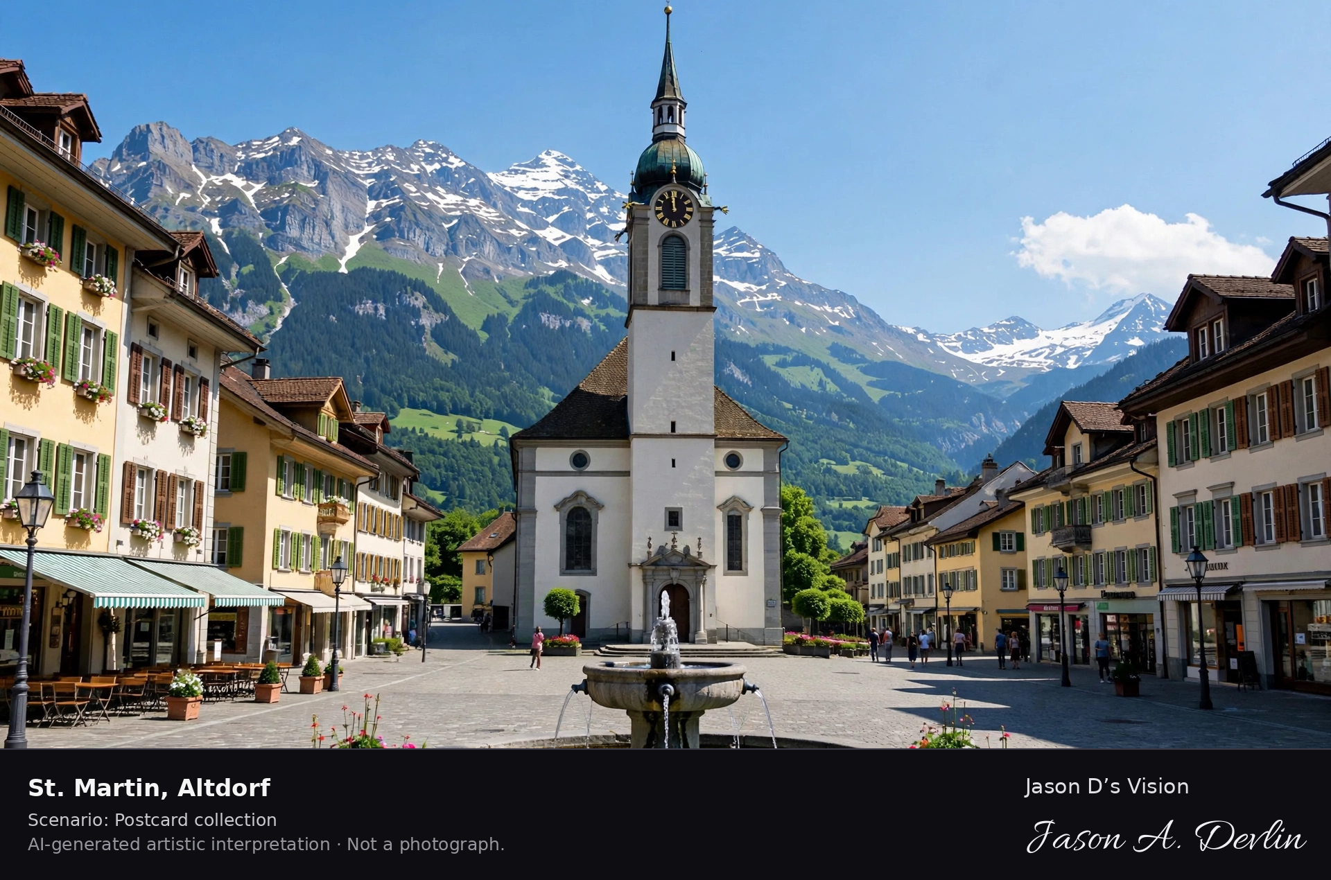
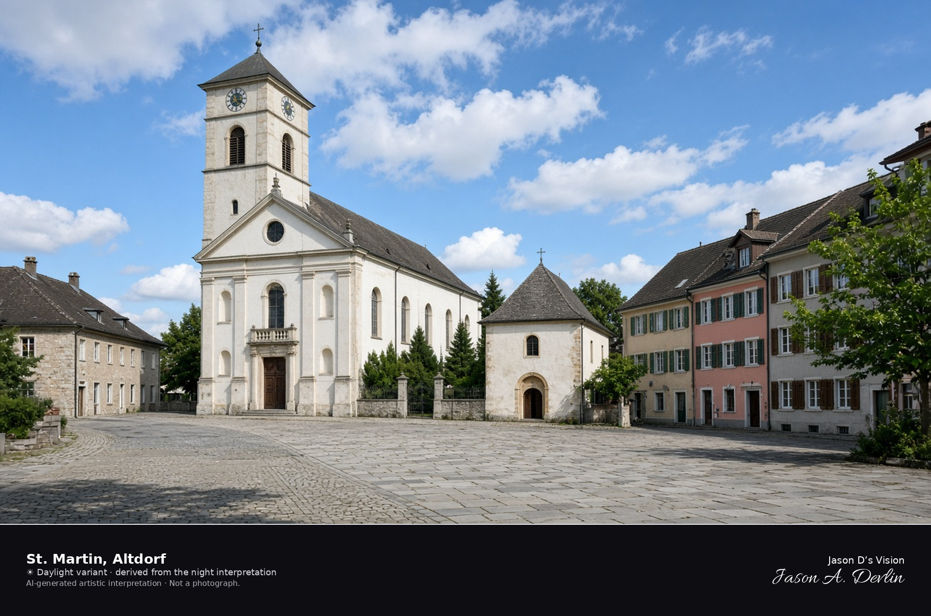
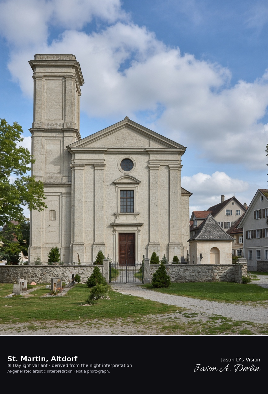
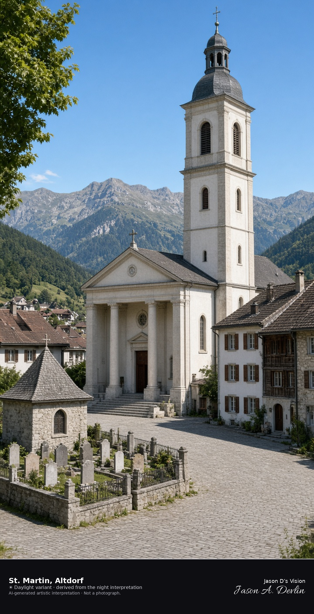
Parish church of St. Martin on Kirchplatz in Altdorf · AI-generated artistic interpretation
The parish church of St. Martin faces Kirchplatz in Altdorf, a pale classicist front with its tower, the small St. Anna chapel, and the churchyard beside it. Old-town houses close the square. The Tell Monument and the Türmli remain on Rathausplatz and are not in this frame. The Open-Meteo model is fully overcast and mild, with a light breeze and no rain.
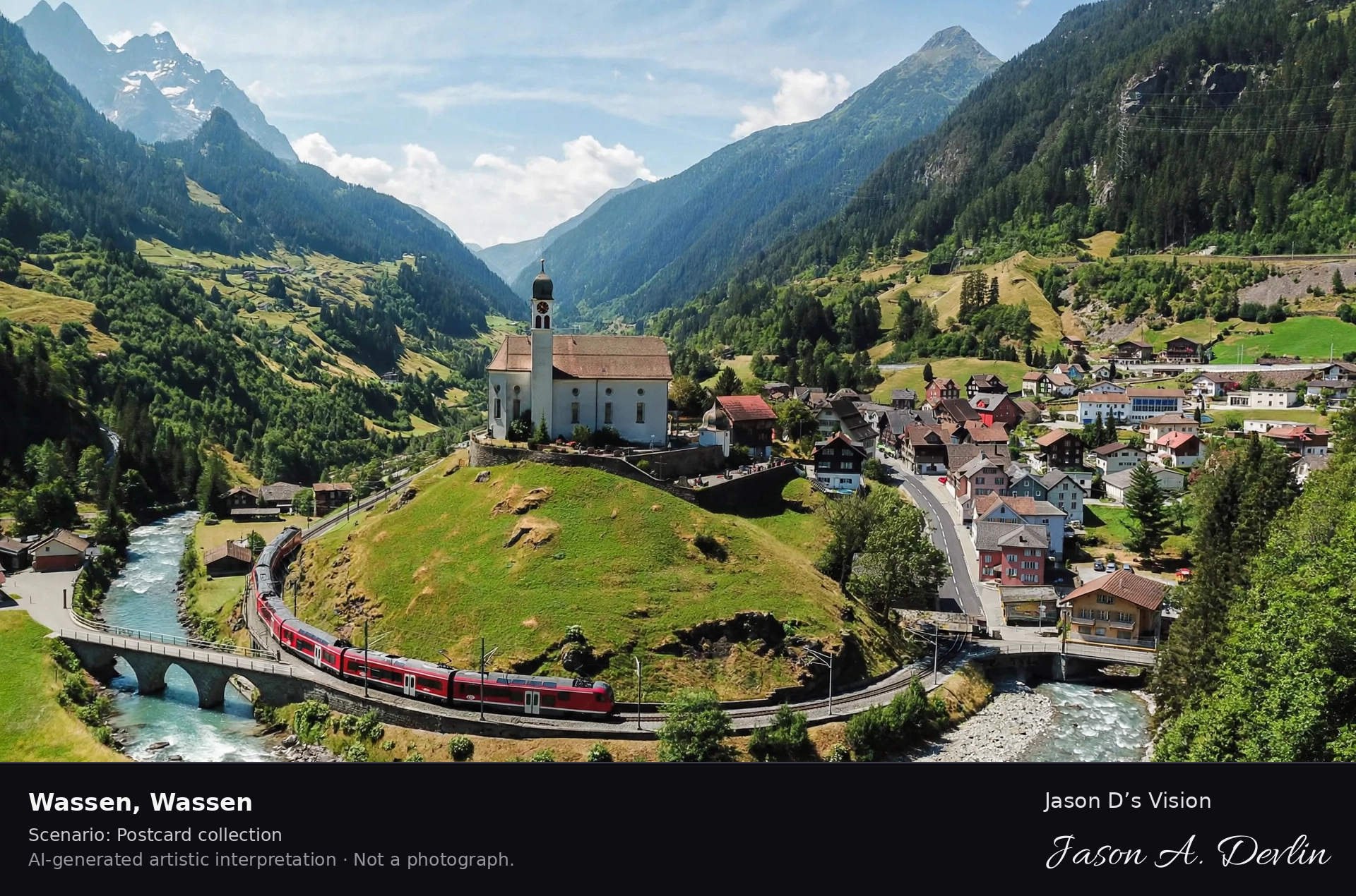
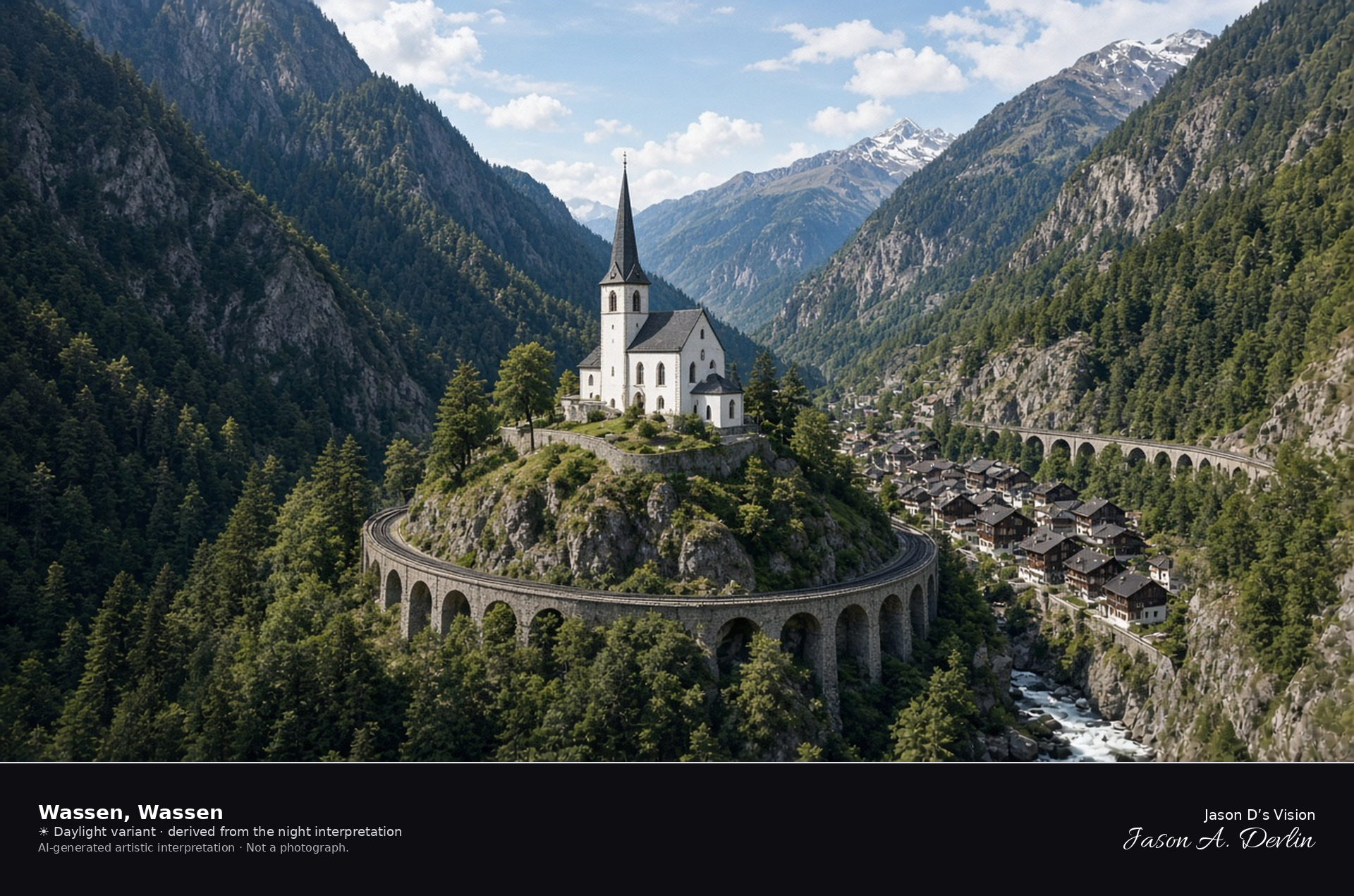
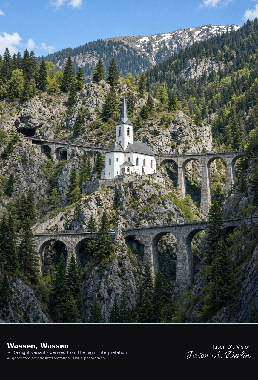
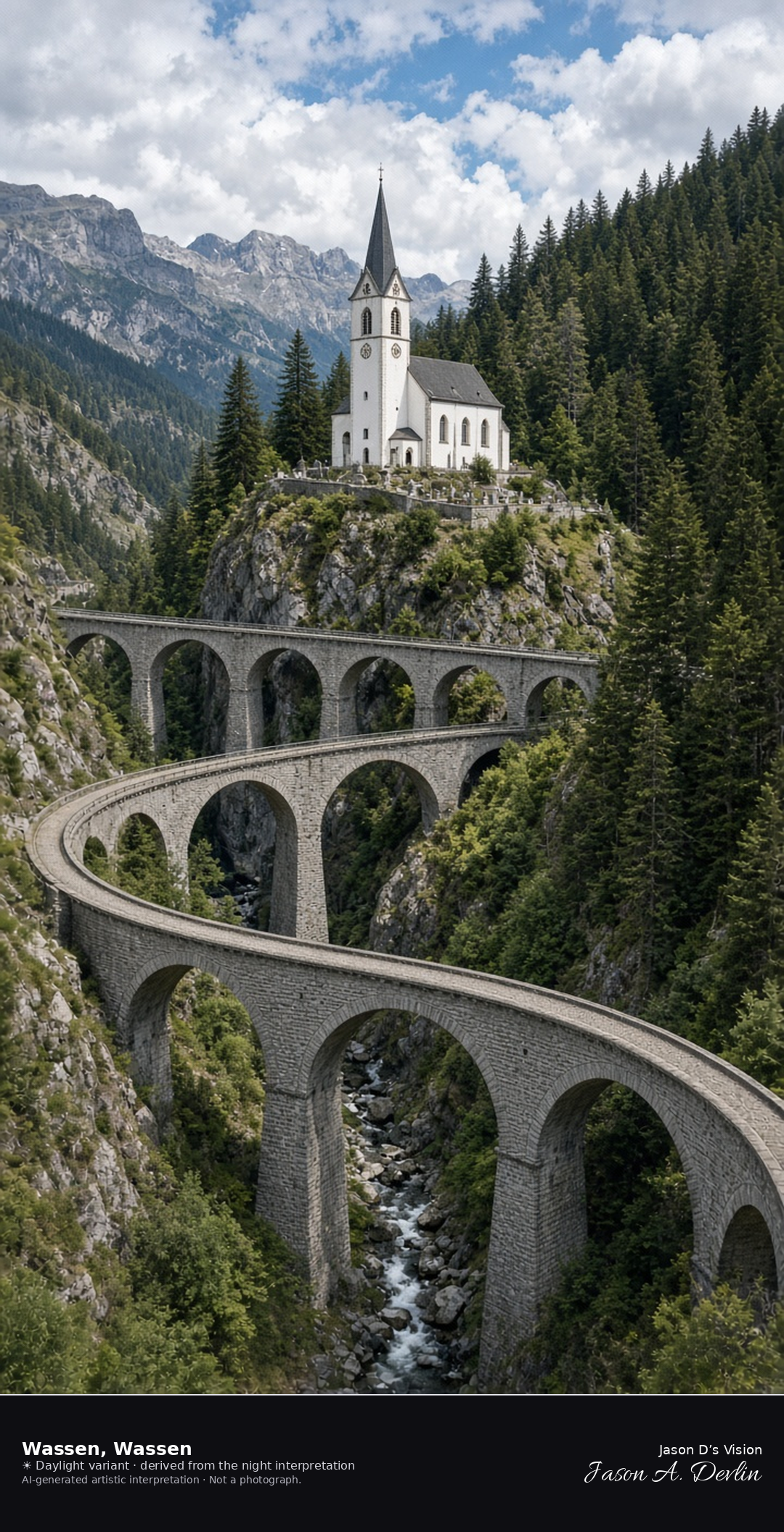
Wassen church on its knoll above the Gotthard railway spirals · AI-generated artistic interpretation
The white church of St. Gallus stands on a rocky knoll above Wassen, and the Gotthard mountain line loops around it so that stone viaducts appear at more than one height in the gorge. Steep valley walls close the Reuss. No train name is readable. The Open-Meteo model is mainly clear with broken cloud, cool, and breezy, with no rain.
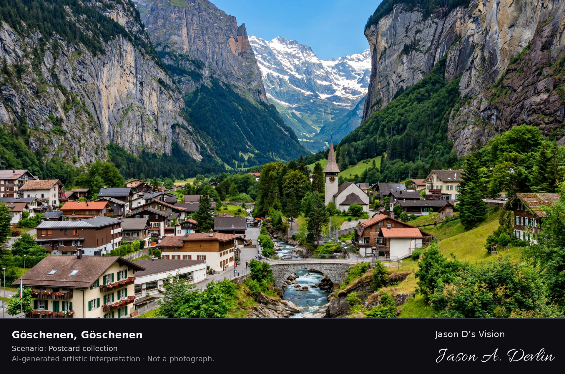
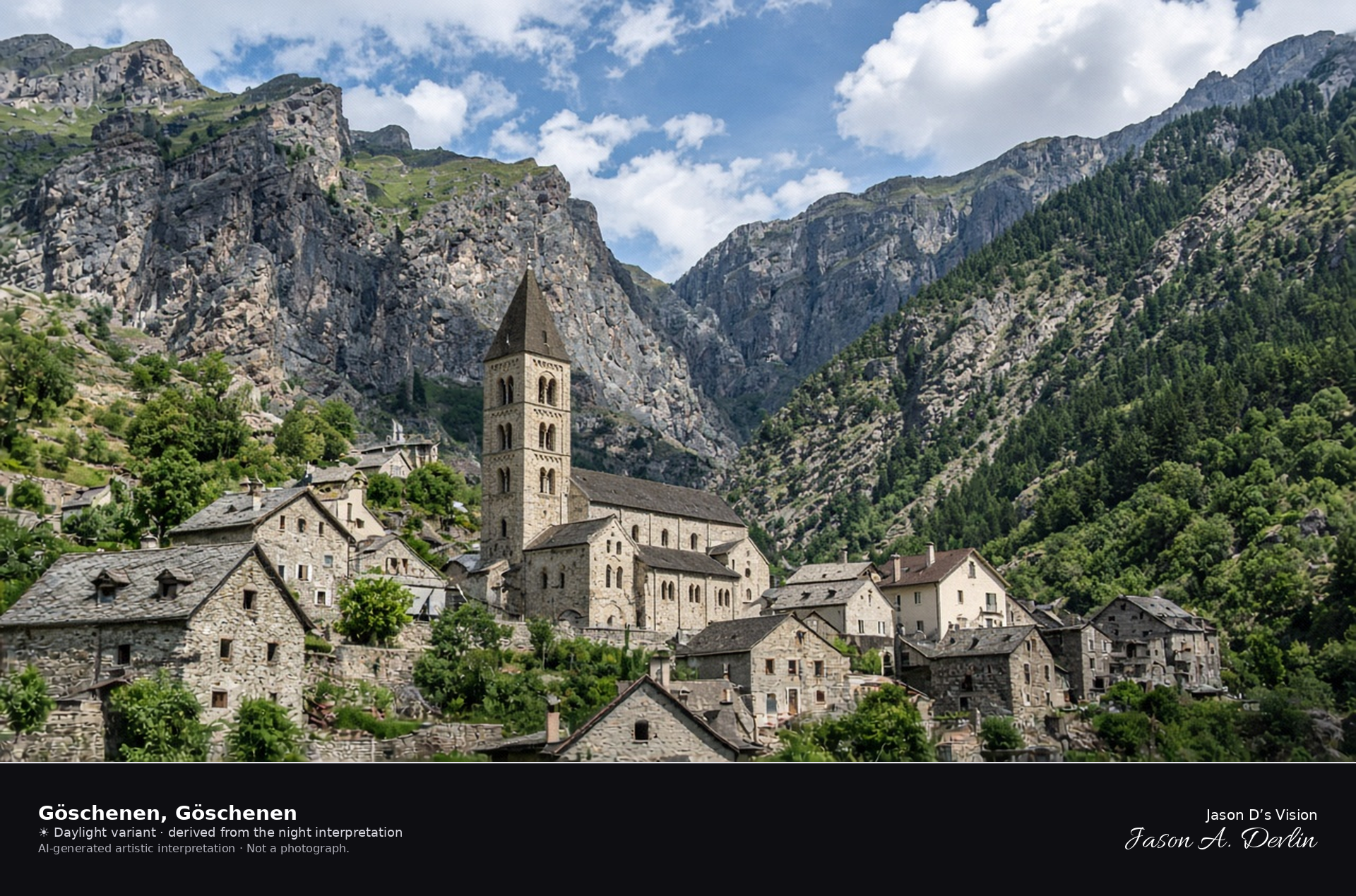
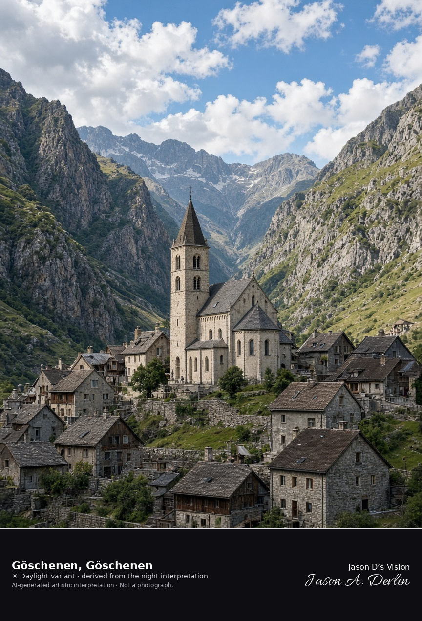
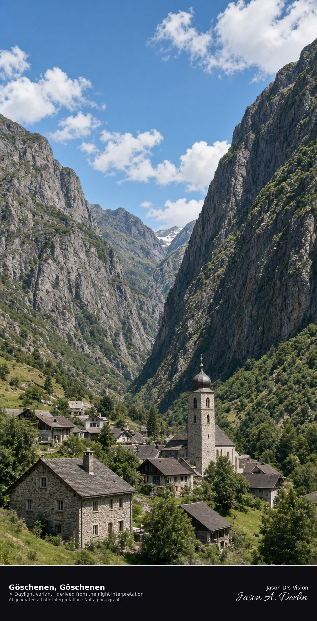
Göschenen village and the church of Maria Himmelfahrt · AI-generated artistic interpretation
Göschenen is the compact village where the Reuss valley narrows at the north end of the Gotthard, and the Romanesque-revival church of Maria Himmelfahrt stands among the stone houses with a solid tower. Steep rock walls close the valley. The Devil’s Bridge is higher in the Schöllenen and is not in this frame. The Open-Meteo model is mainly clear and cool, with a breeze and no rain.
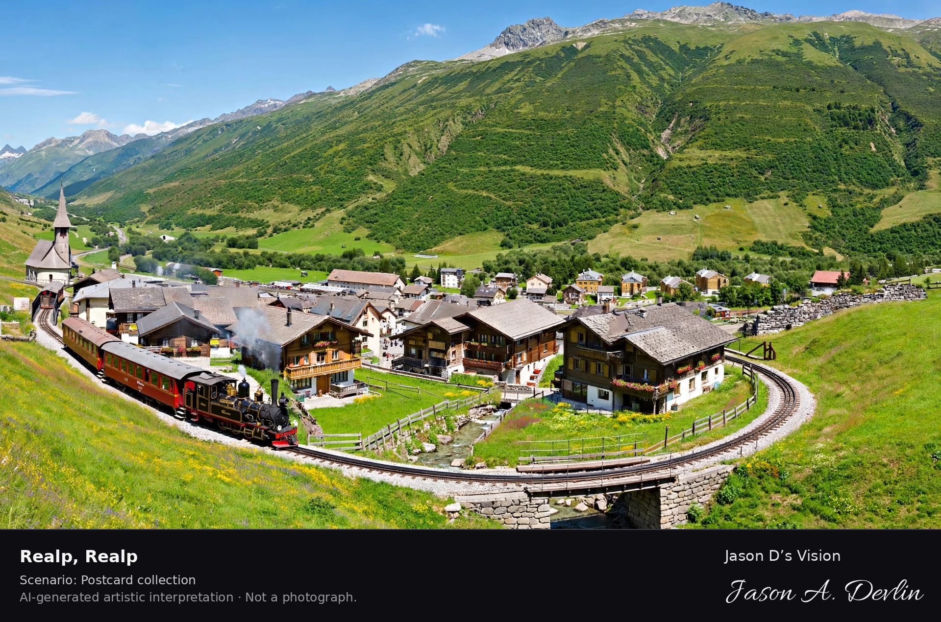
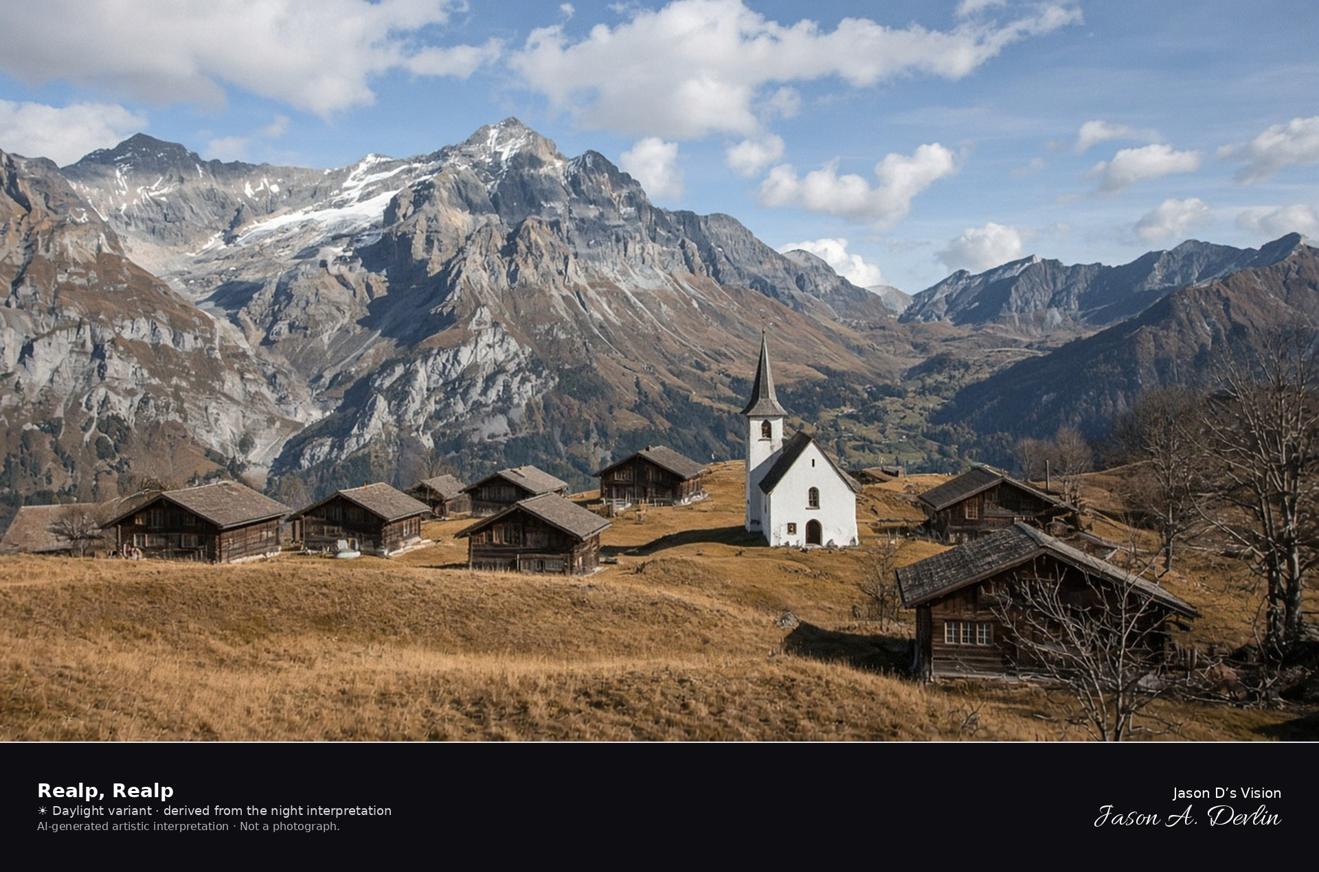
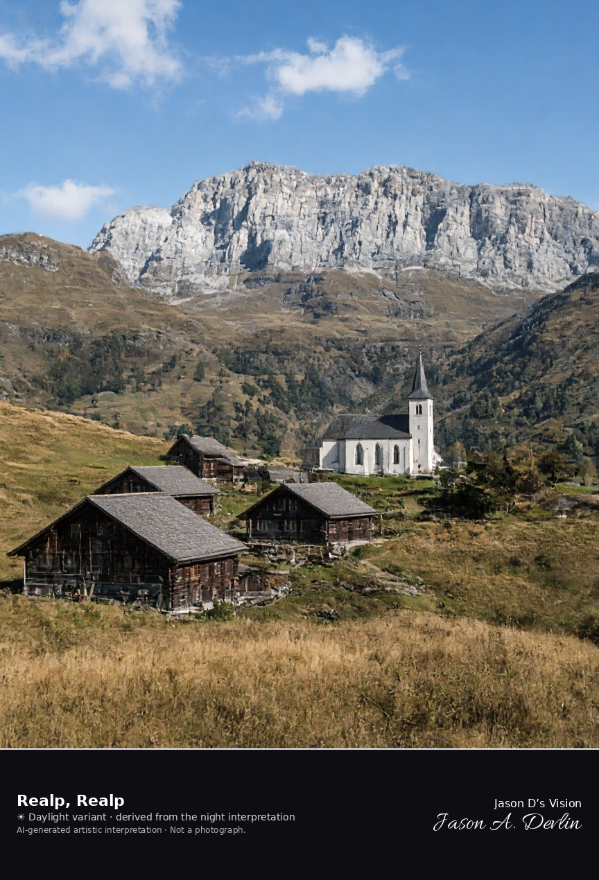
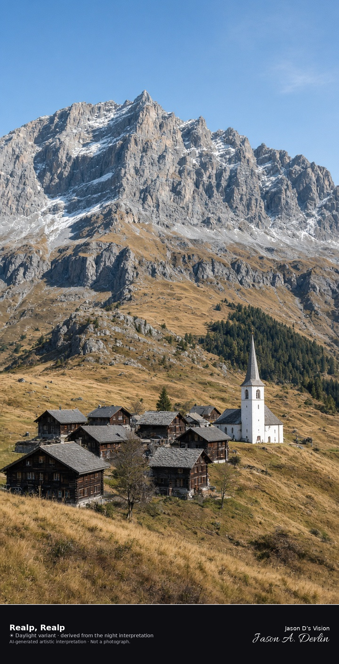
Realp village on the Urseren floor looking toward the Furka · AI-generated artistic interpretation
Realp is the small village on the Urseren floor at the eastern foot of the Furka, with dark wooden houses, a modest white church, and tawny September grass. The valley opens west toward the rock of the Furka massif. This is the village, not the pass summit, and no railway name is shown. The Open-Meteo model is clear and cool, with a breeze and no precipitation.
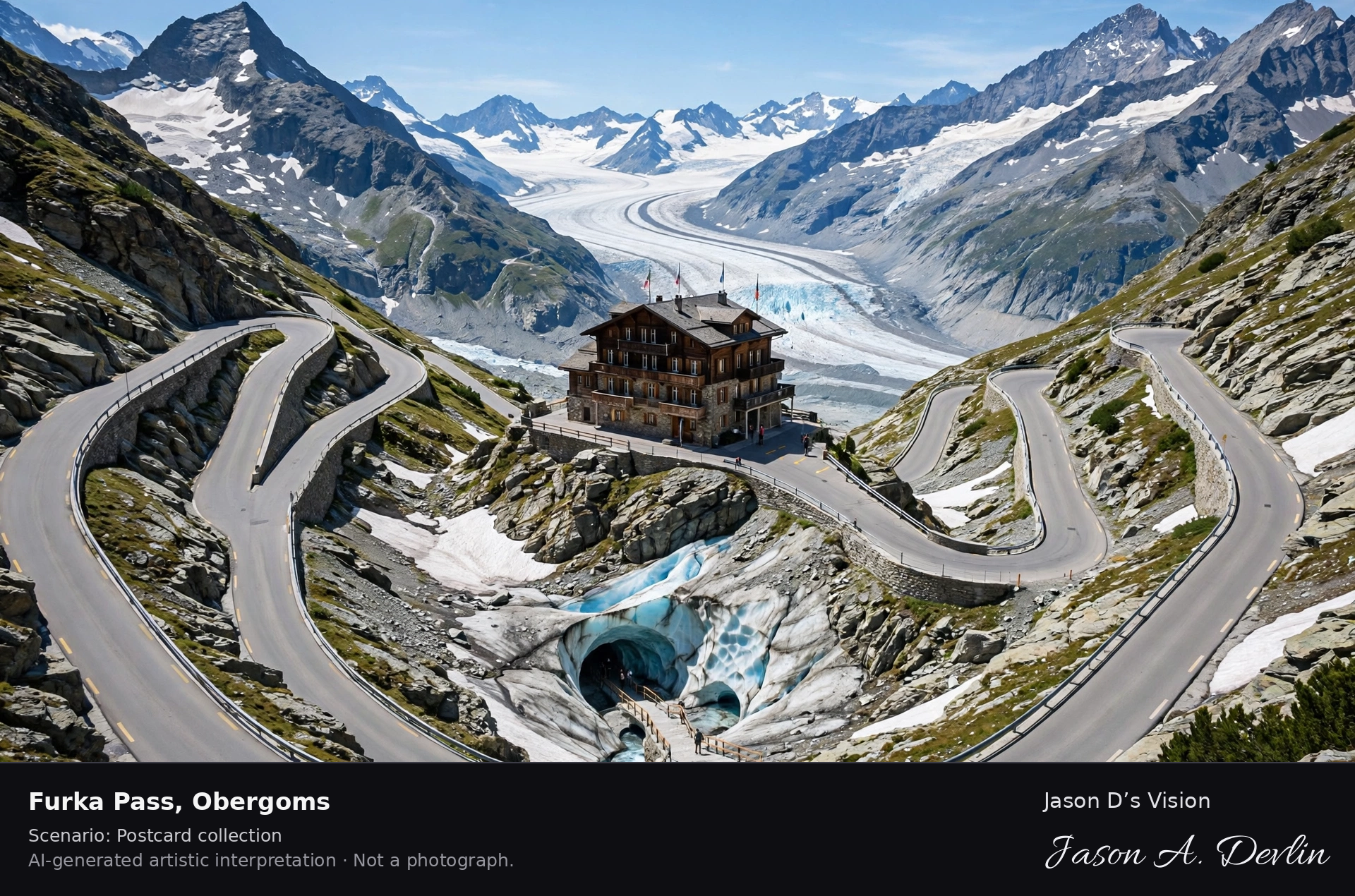
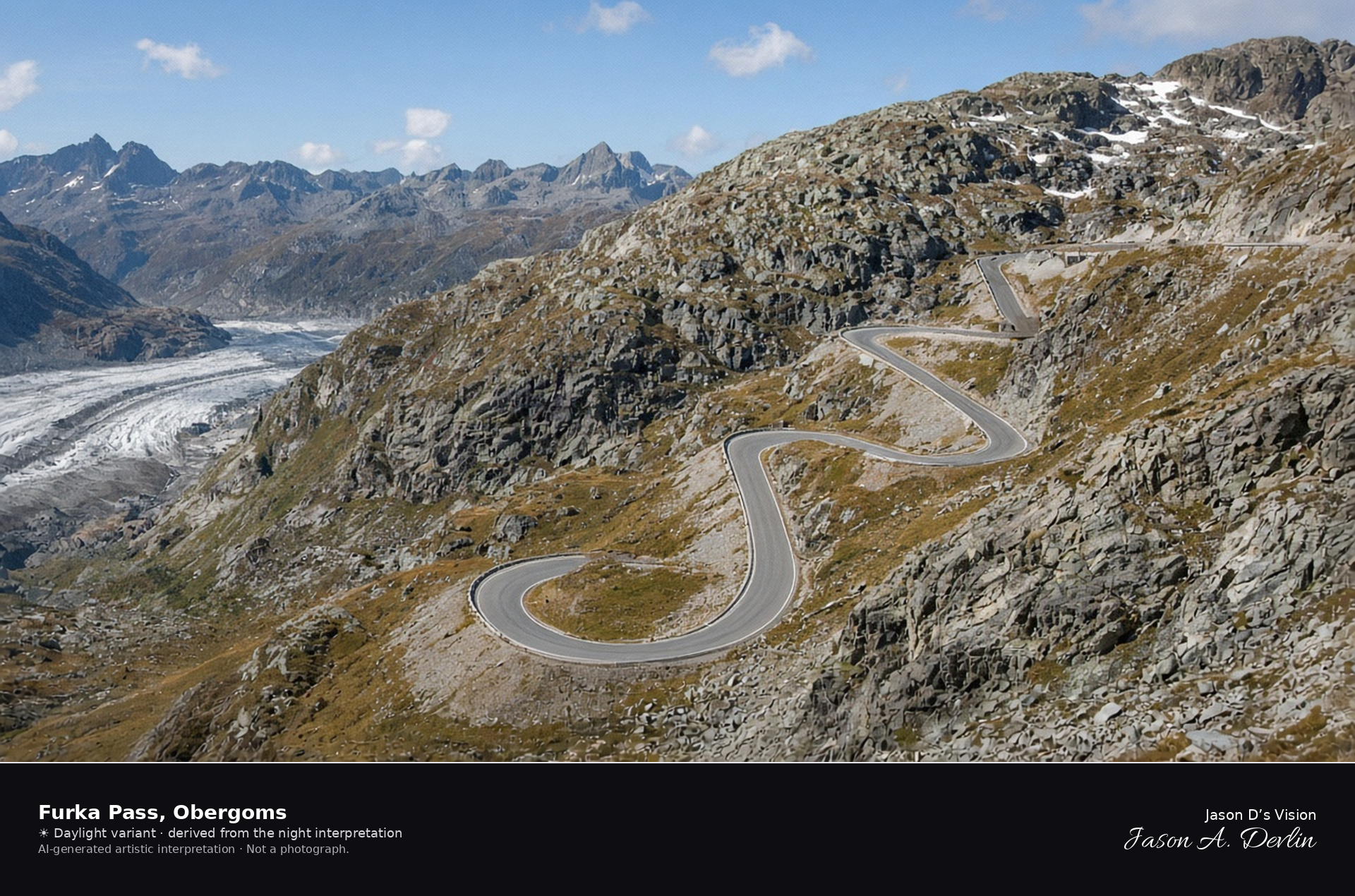
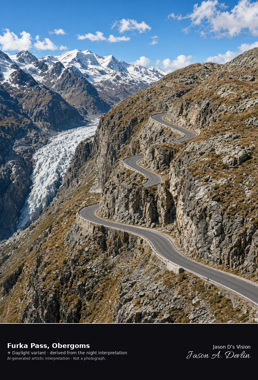
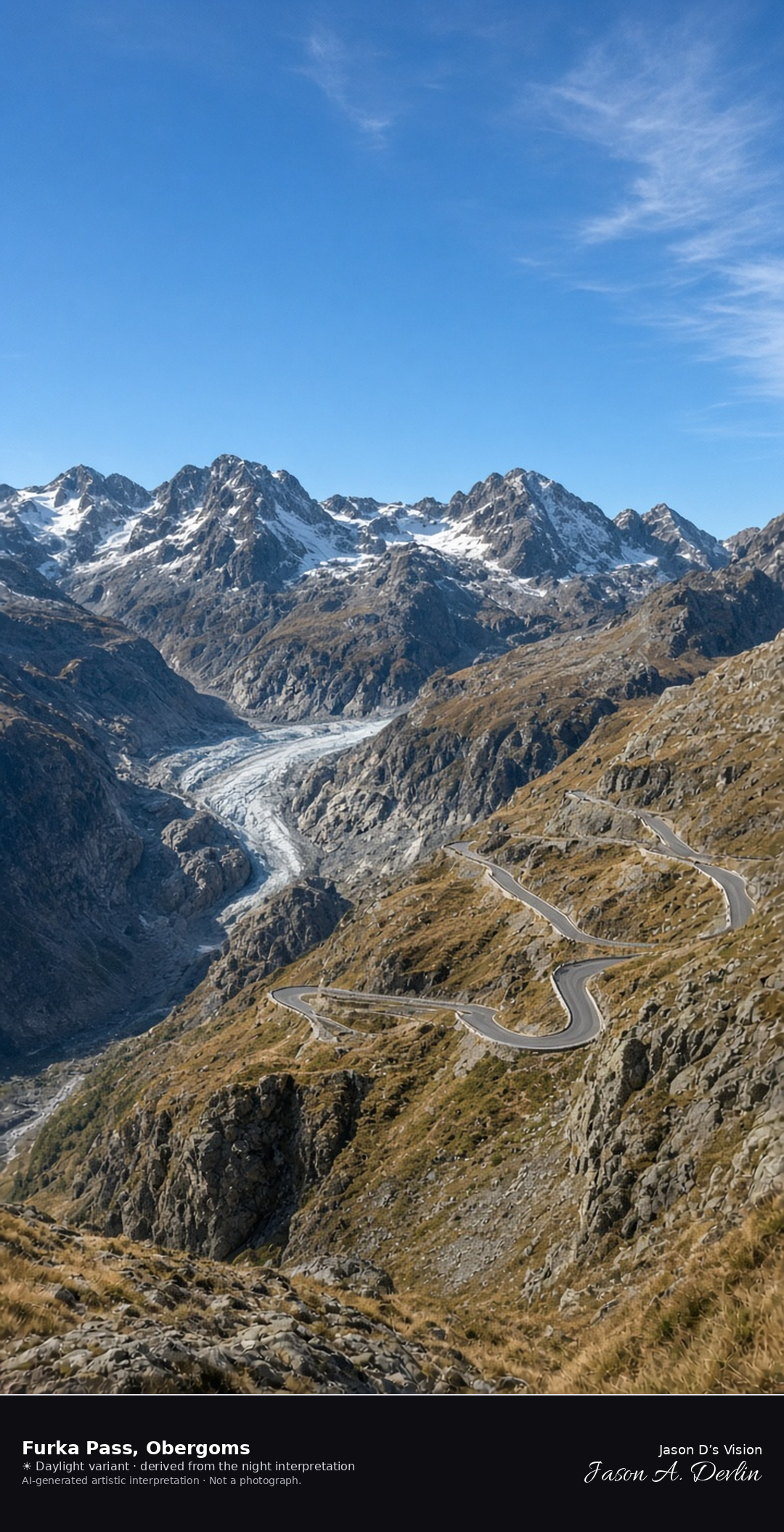
Furka Pass road on the Obergoms side of the crest · AI-generated artistic interpretation
The Furka road crosses the crest between Realp and Obergoms, and this frame stays on the Valais side, where hairpins climb bare rock above the Rhône glacier tongue. Late-September grass is short and tawny, with snow only as old patches on the highest faces, and the road is open. No hotel name is readable. The Open-Meteo model is clear and cold, with a strong wind and no precipitation.
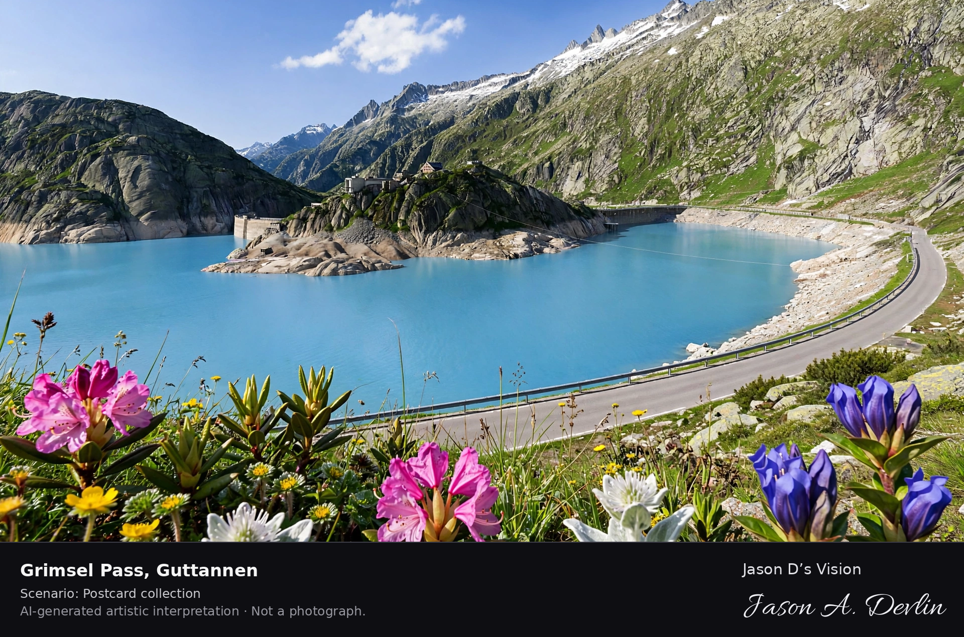
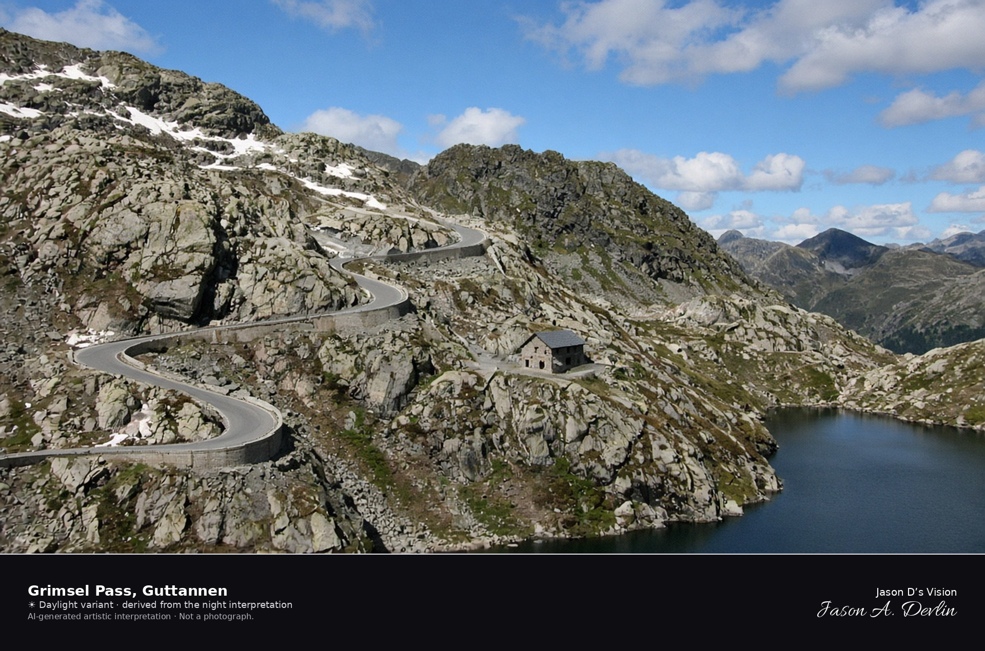
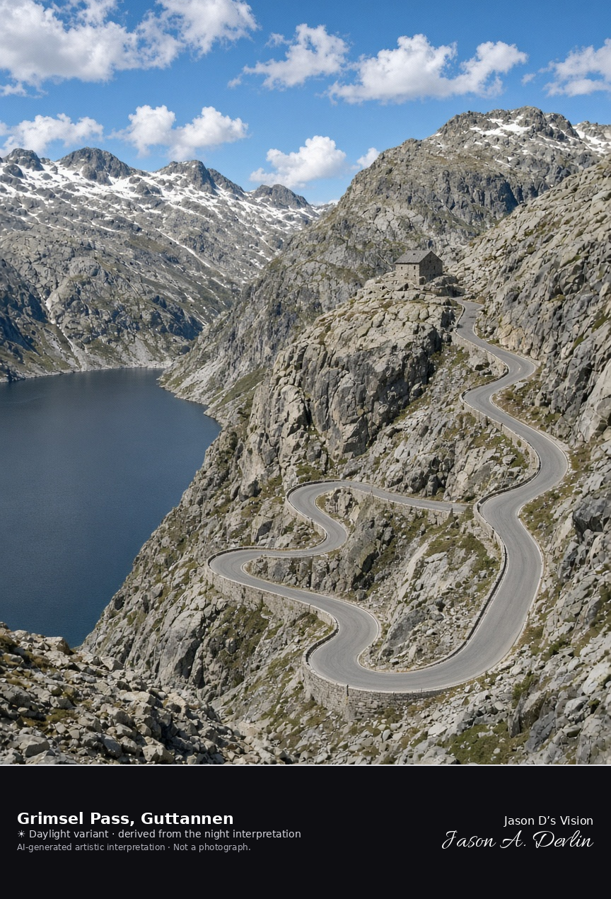
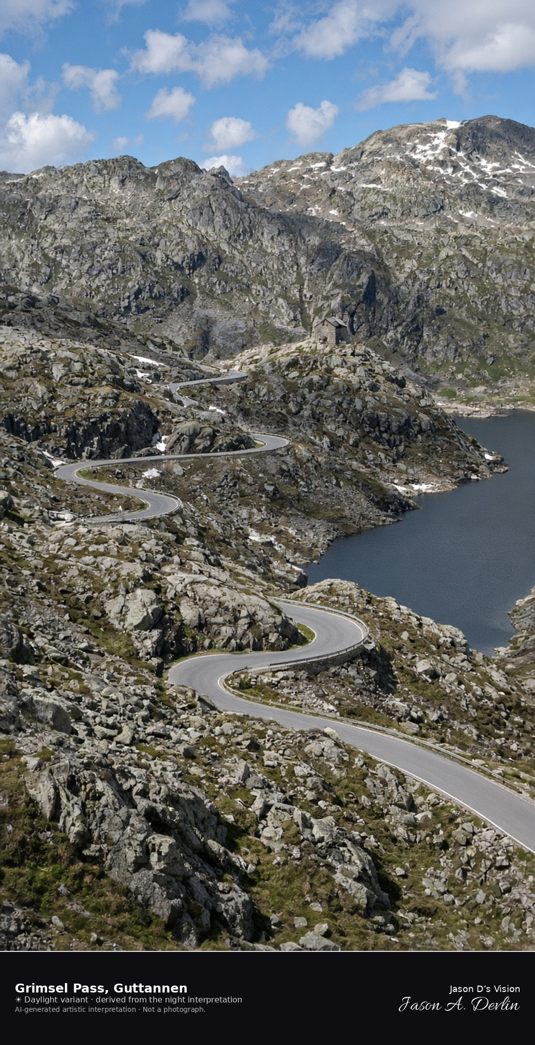
Grimsel Pass road on the Guttannen side of the crest · AI-generated artistic interpretation
The Grimsel road reaches the crest from Guttannen through gray granite, with hairpins above a dark reservoir and the stone hospice small on the slope below. This side of the summit is in Guttannen; the Totensee on the Valais lip is left out of the subject. The road is open, and snow is only old patches on the highest rock. The Open-Meteo model is clear and cold, with a little thin cloud, a strong wind, and no precipitation.
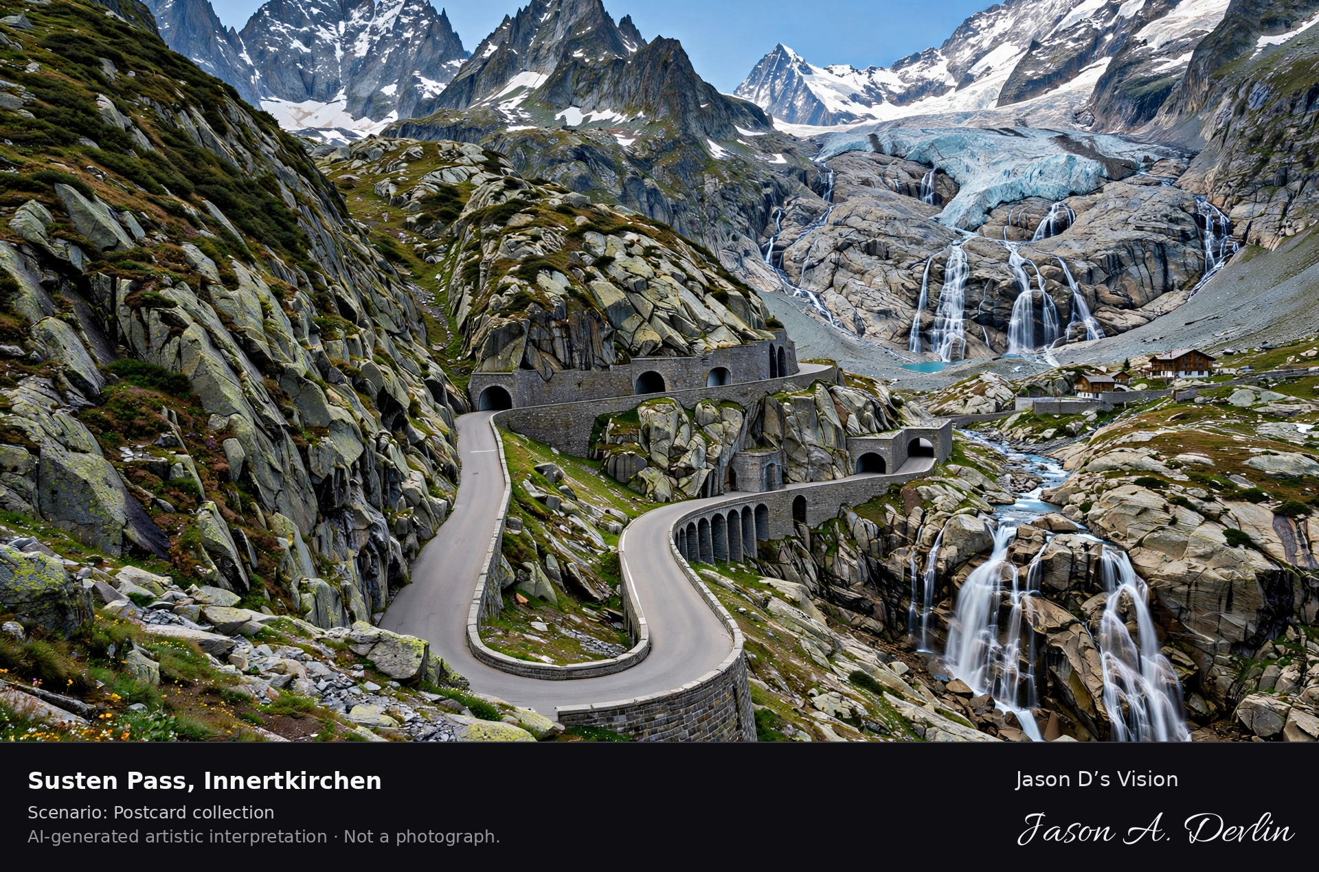
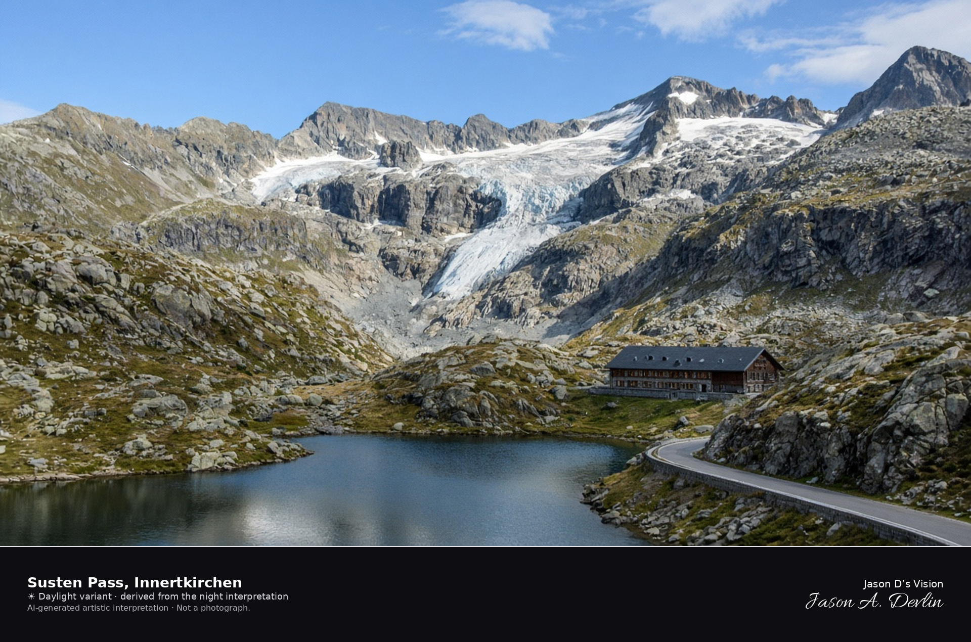
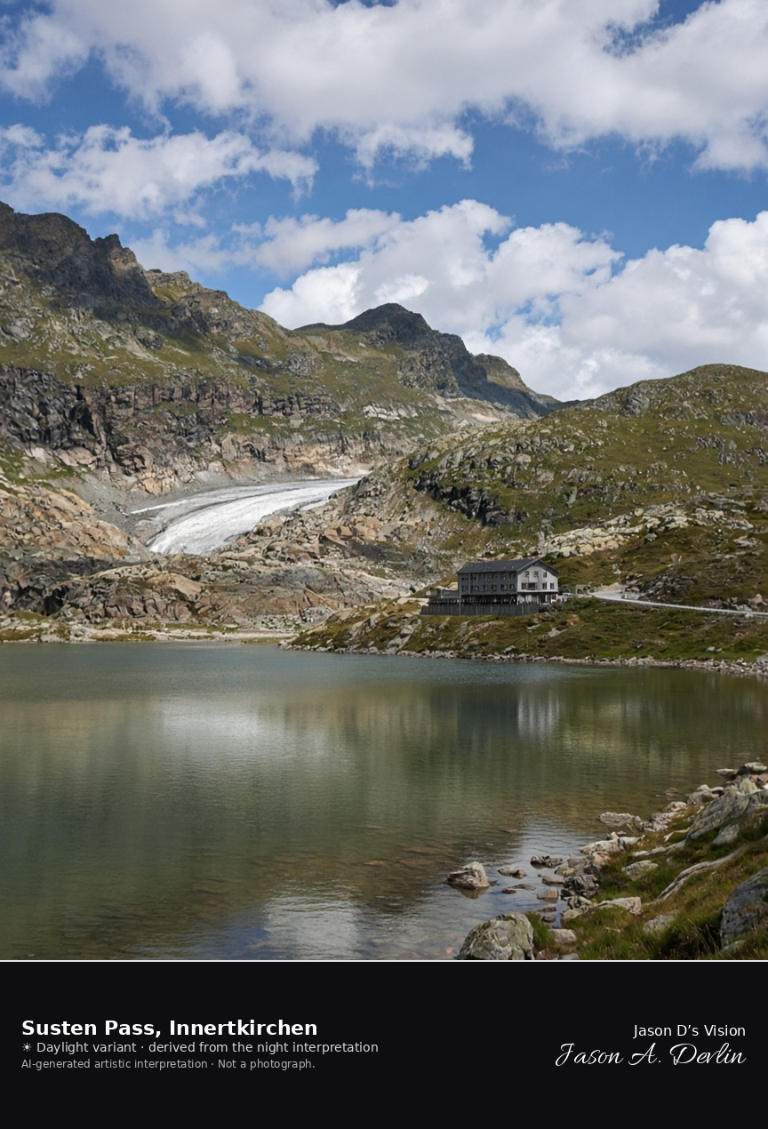
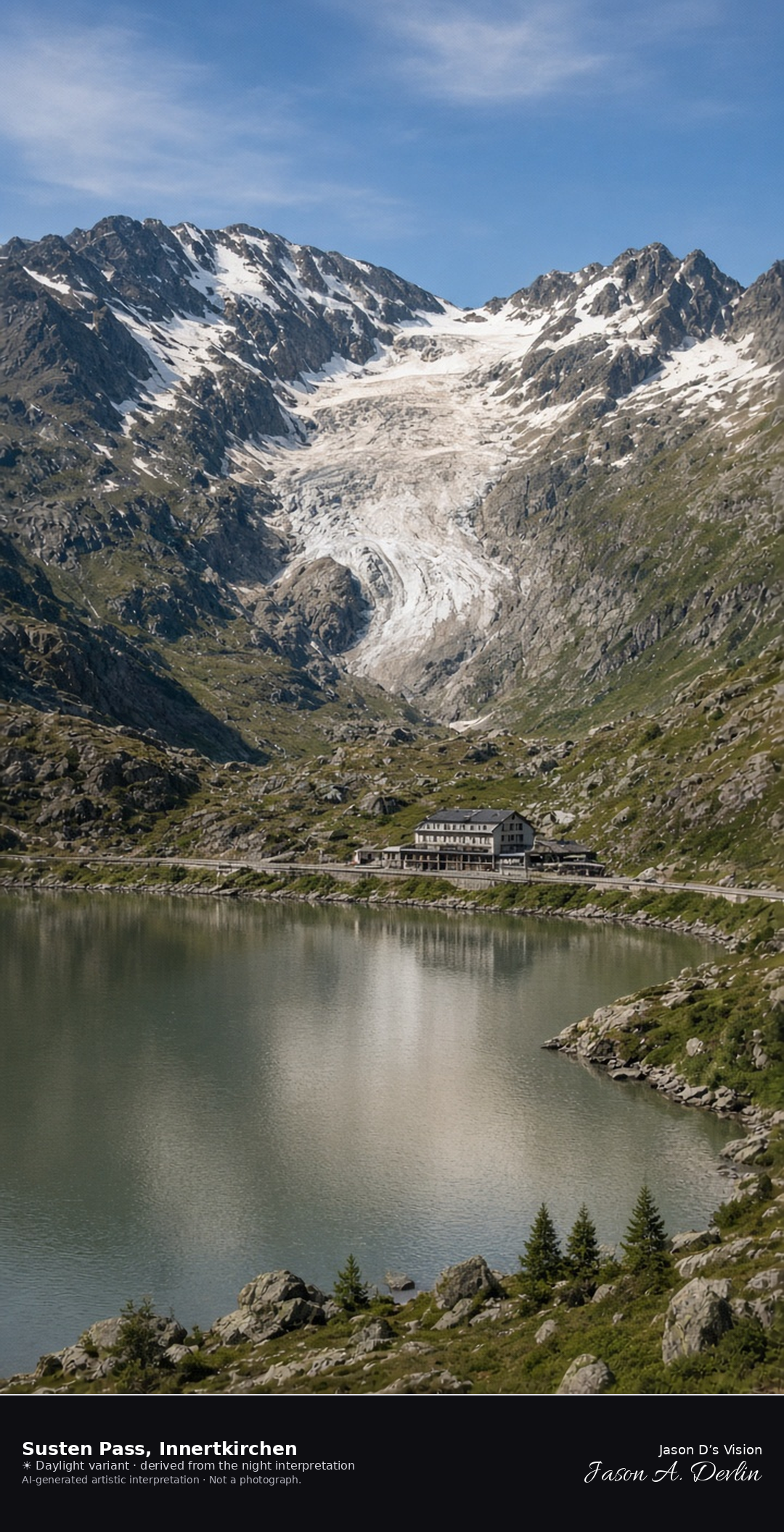
Steinsee and Stein Glacier on the Innertkirchen side of the Susten · AI-generated artistic interpretation
On the Bern side of the Susten, the Steinsee sits under the Stein Glacier, with the pass road and a low hotel along the near shore. Gadmen is only a locality of Innertkirchen, and the frame stays west of the crest, so it is not the descent to Wassen and not the Grimsel. Late-September rock and short grass carry no fresh snow. The Open-Meteo model is overcast and cool, with cloud cover a little above three-fifths, a breeze, and no precipitation, and the sun is below the horizon.
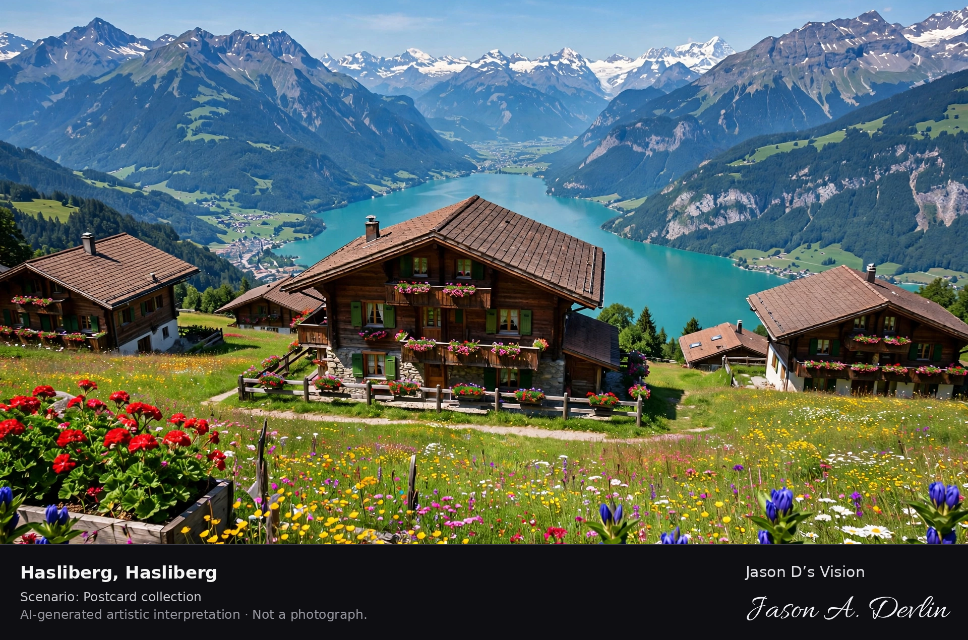
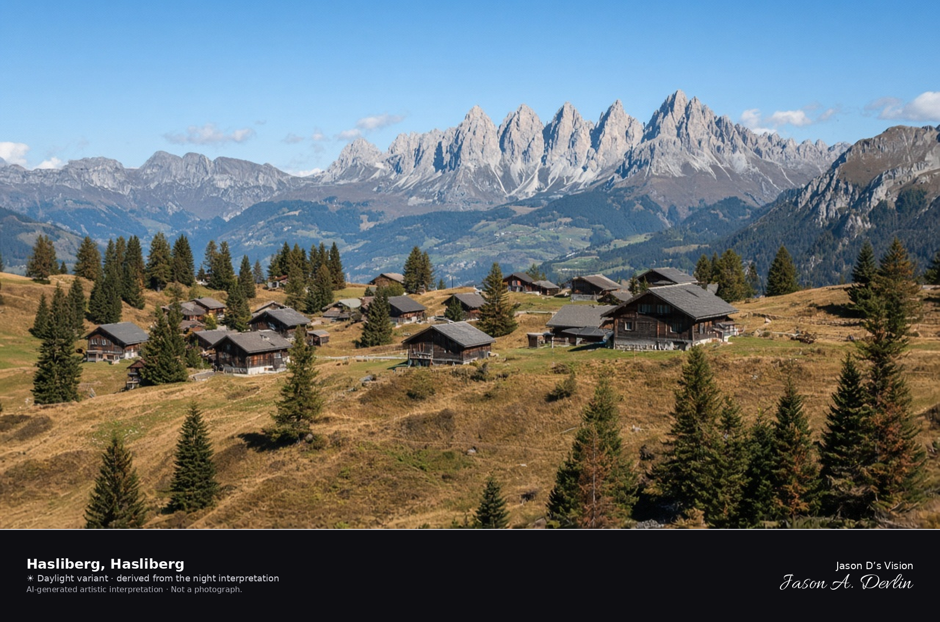
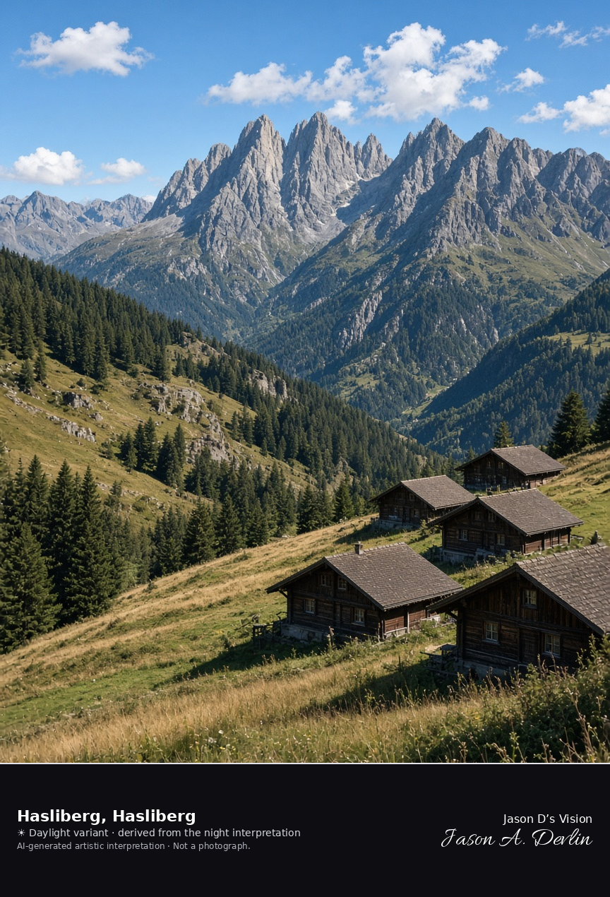
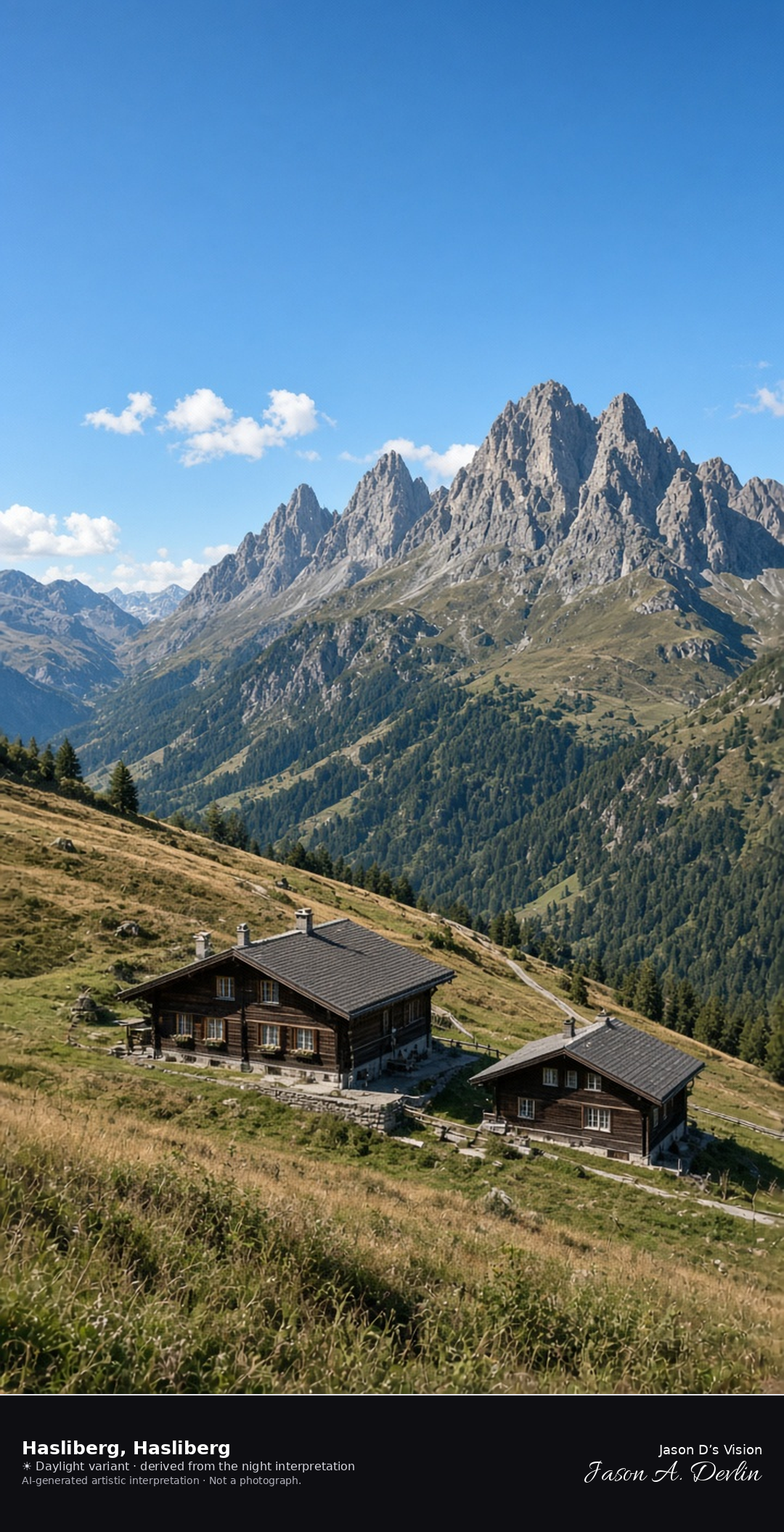
Hasliberg Reuti is a scatter of dark wooden houses on a terrace above the Aare, with tawny September pasture and fir woods, and the Engelhörner rising across the valley. This is the terrace municipality, not the Meiringen valley floor. No snow lies on the houses. The Open-Meteo model is overcast and mild for this height, with cloud cover near two-thirds, a light breeze, and no precipitation, and the sun is below the horizon.
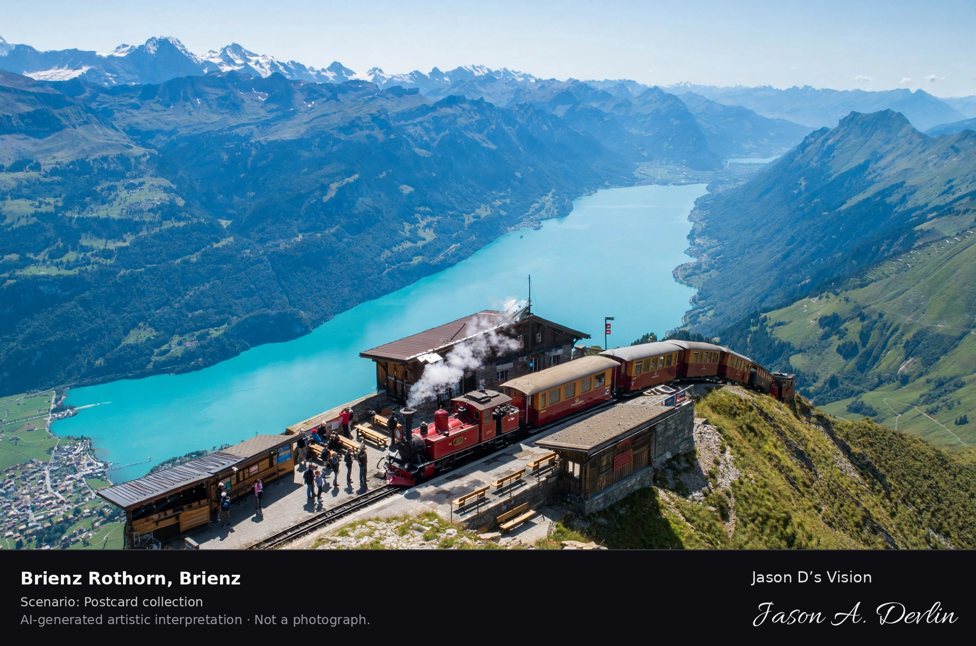
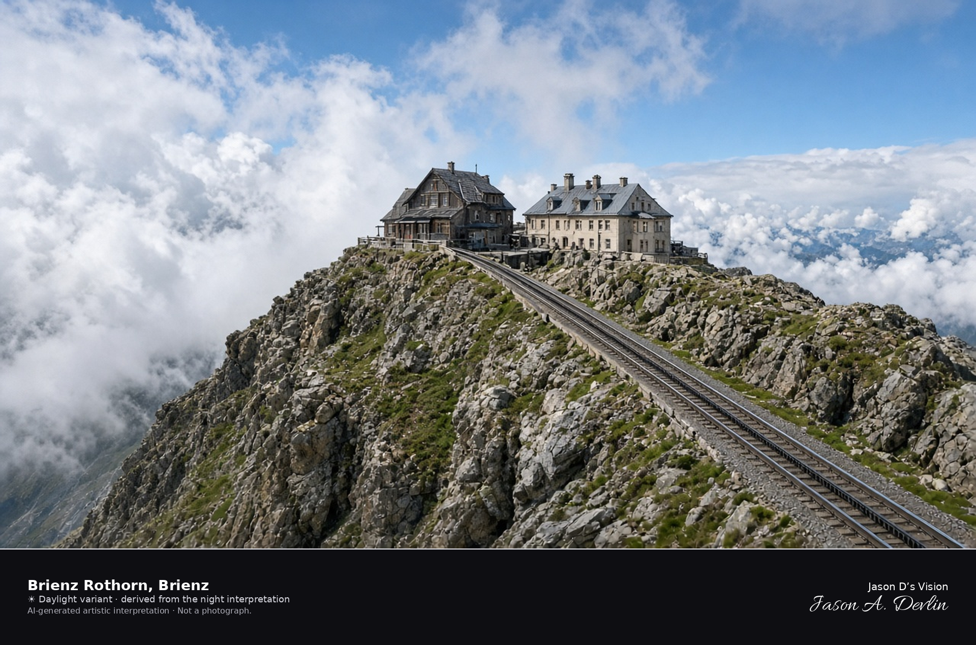
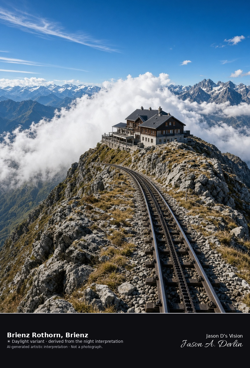
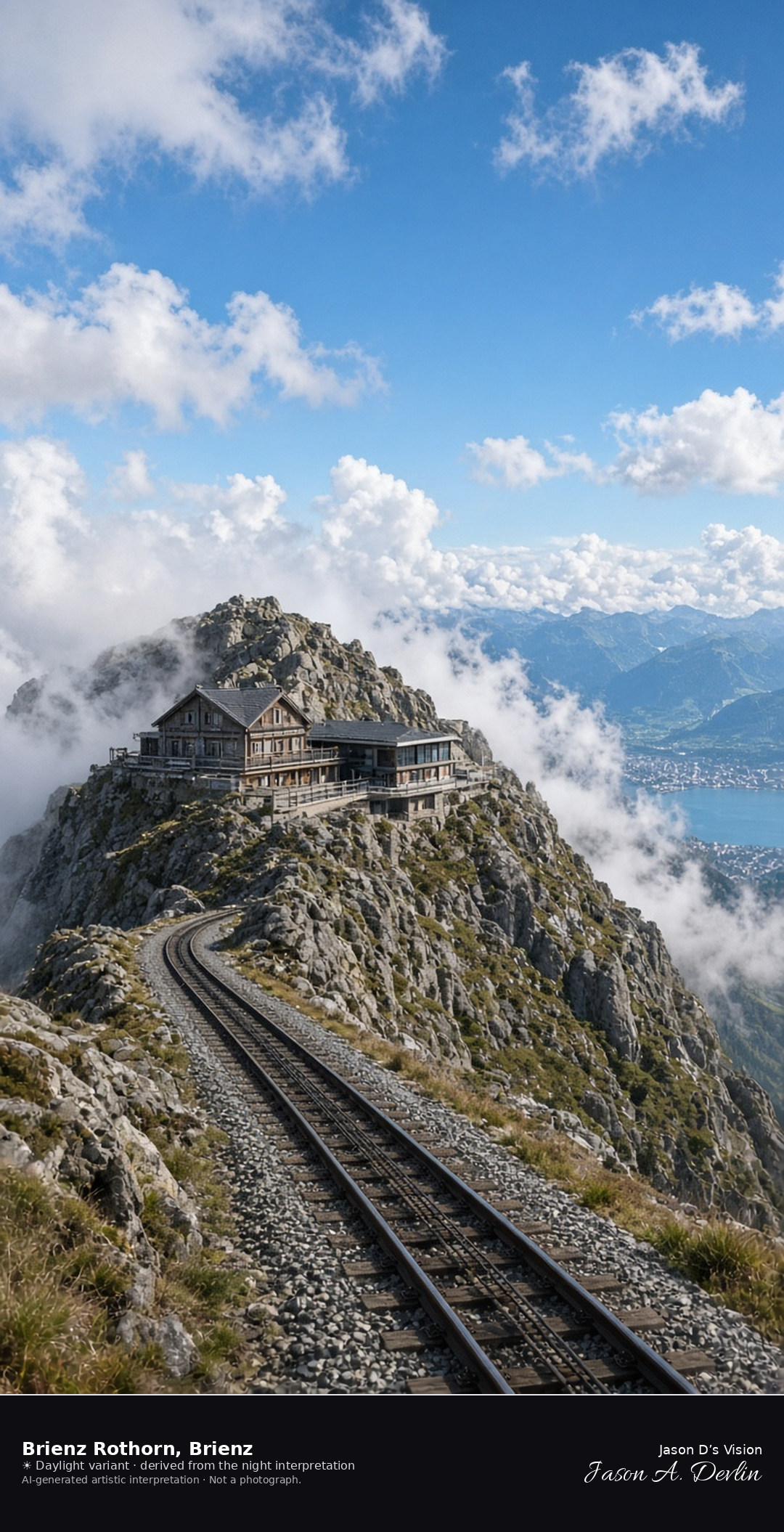
Brienzer Rothorn summit station on the ridge above Brienz · AI-generated artistic interpretation
The Brienzer Rothorn summit is a rocky ridge with the rack-railway station and hotel, and the cog track arrives at the building. Cloud sits on the ridge, so this is not a clear view down to the Brienz quay and not Giessbach Falls. No fresh snow is falling. The Open-Meteo model is overcast and cold, with a breeze and no precipitation, and the sun is below the horizon.
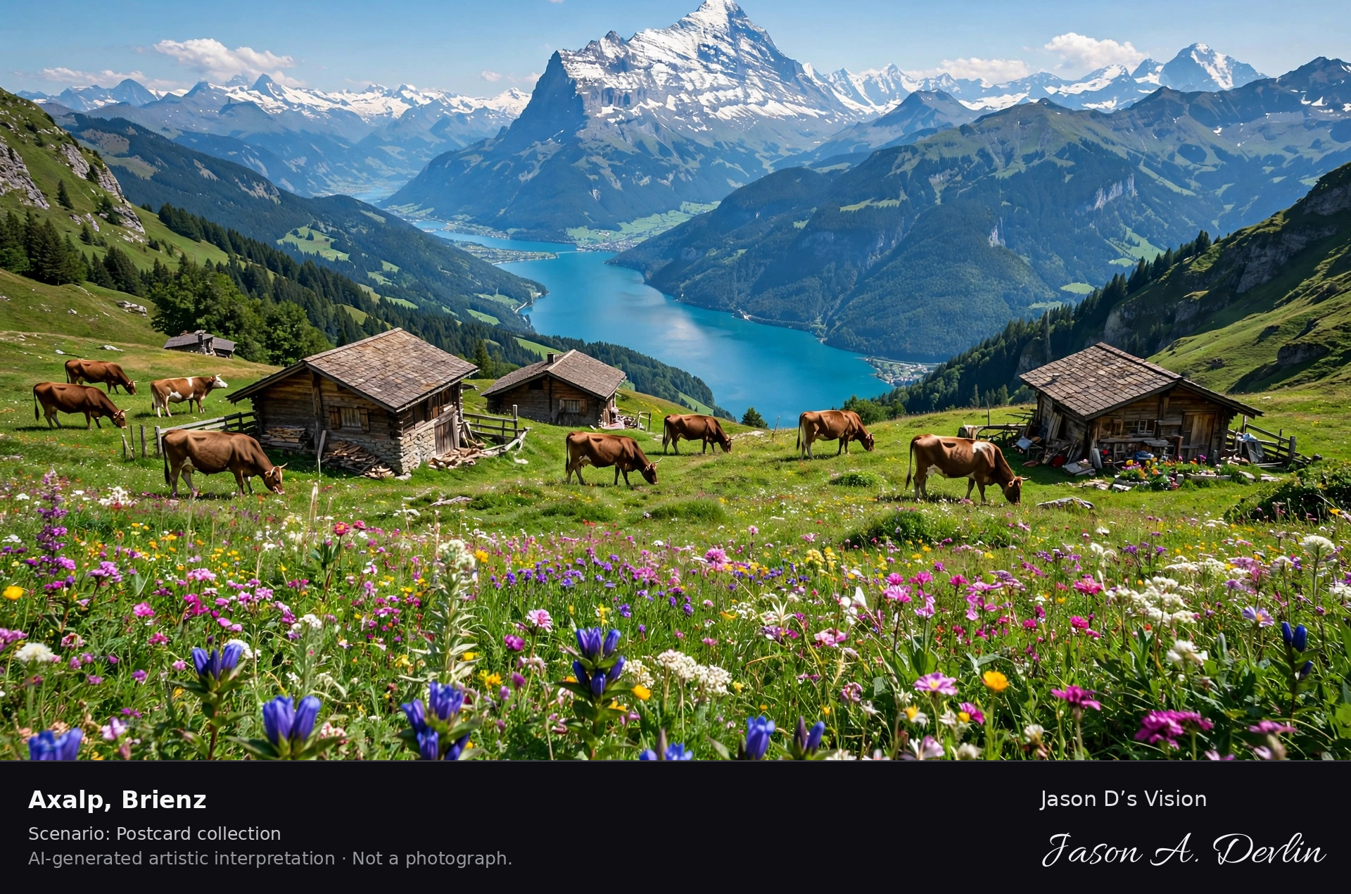
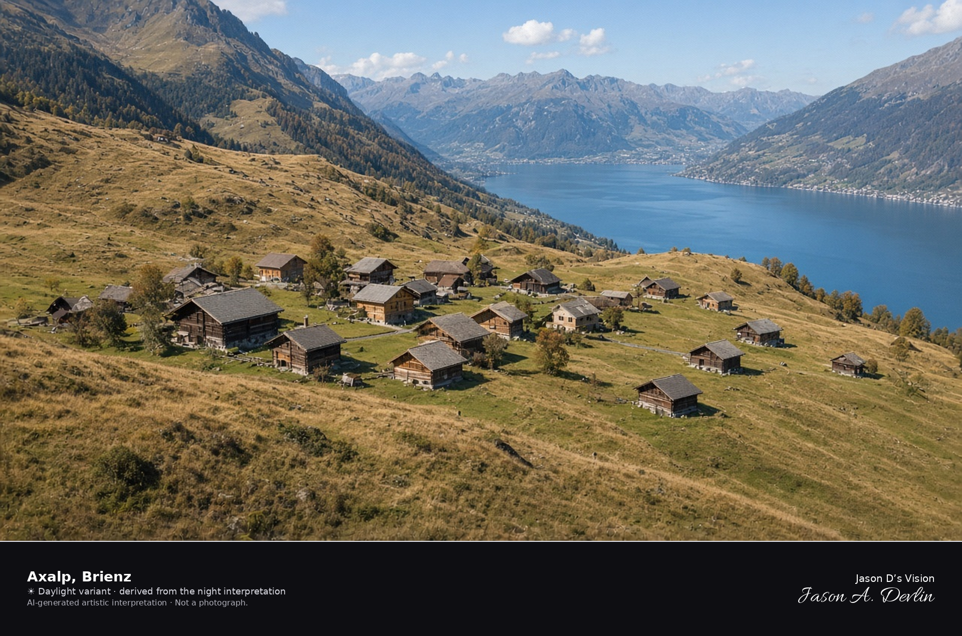
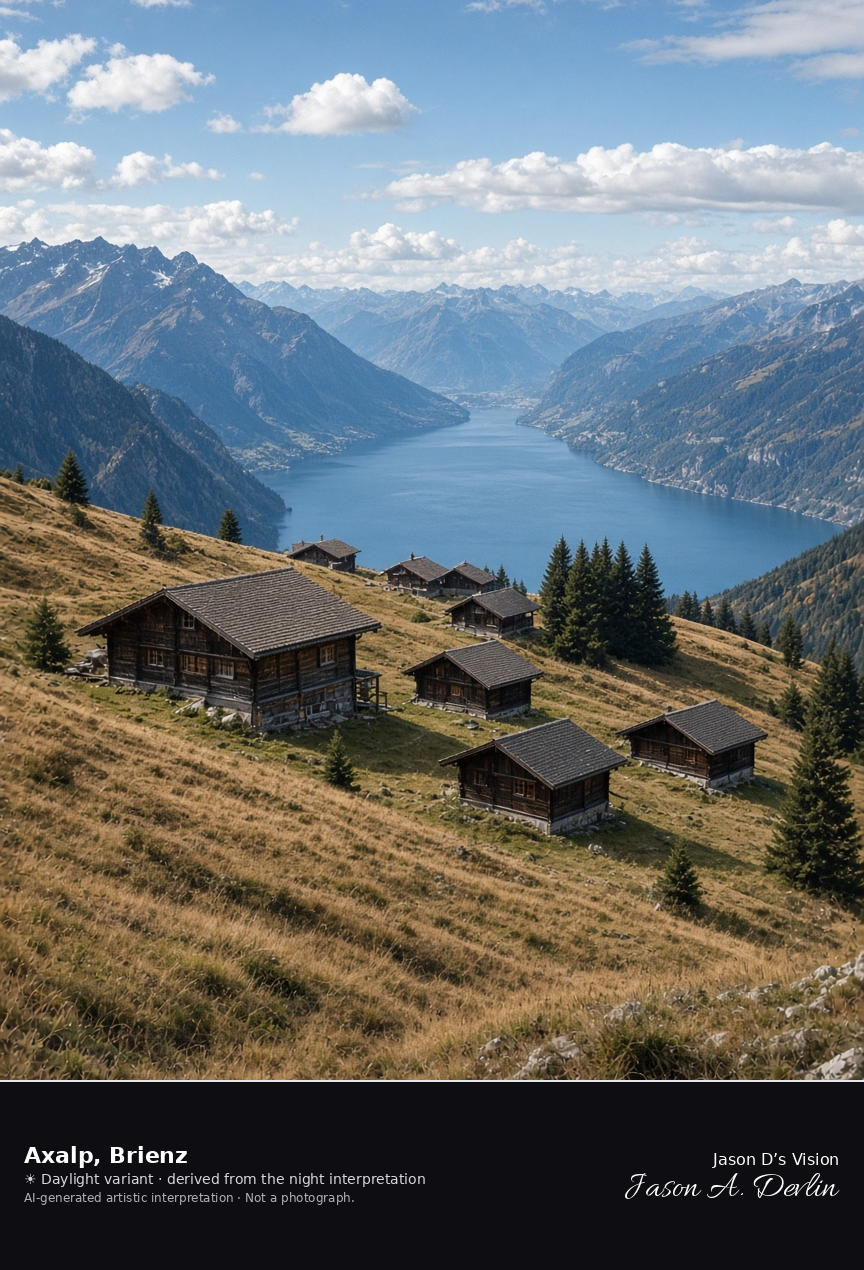
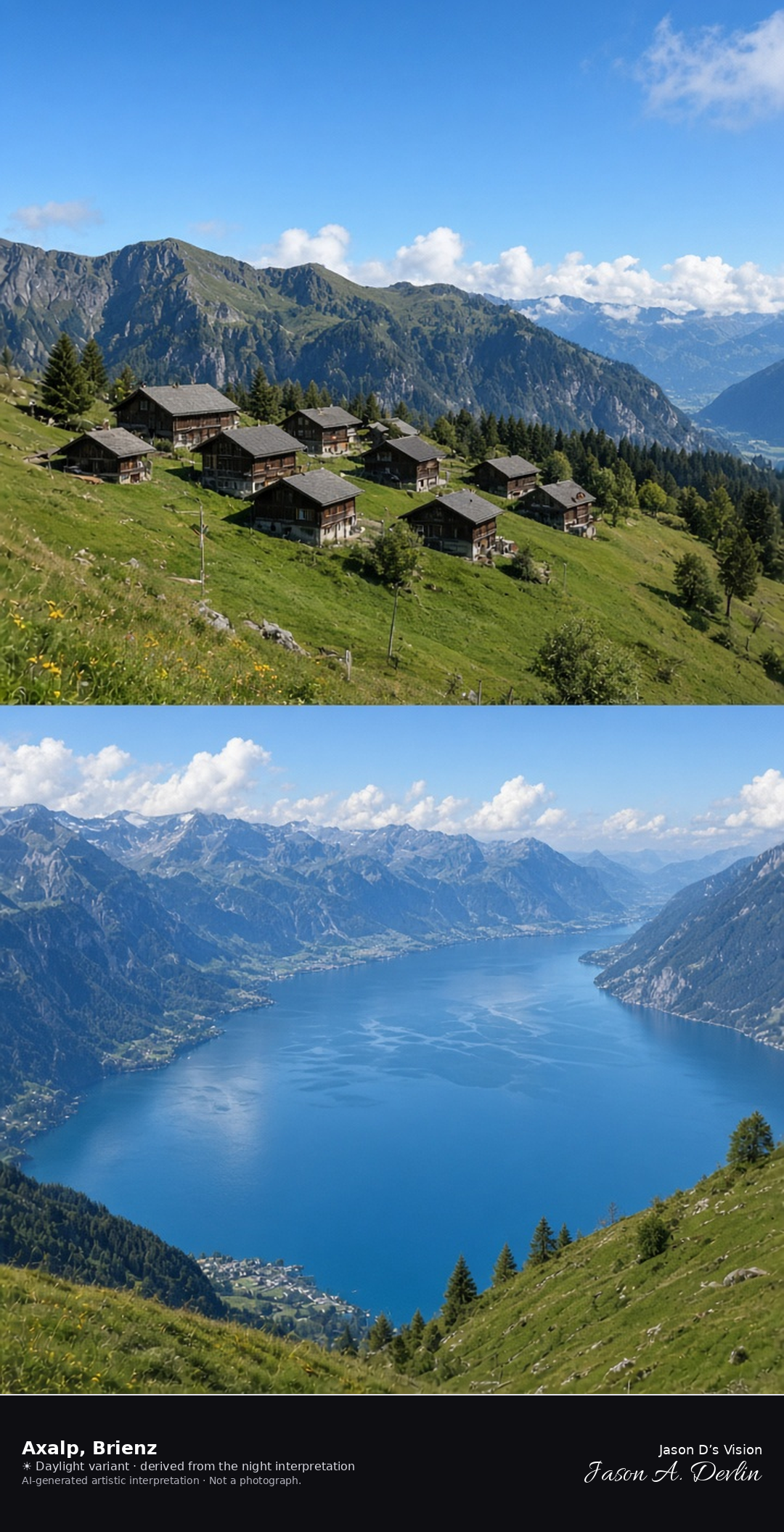
Axalp hamlet above Lake Brienz · AI-generated artistic interpretation
Axalp is the high pasture and hamlet on the slope above Brienz, with wooden chalets, tawny September grass, and Lake Brienz dark in the drop below. The large former hotel is not shown, because it was taken down, and there is no aircraft. This is not the Rothorn summit and not the lakeside village. The Open-Meteo model is heavily clouded and cool, with a breeze and no precipitation, and the sun is below the horizon.
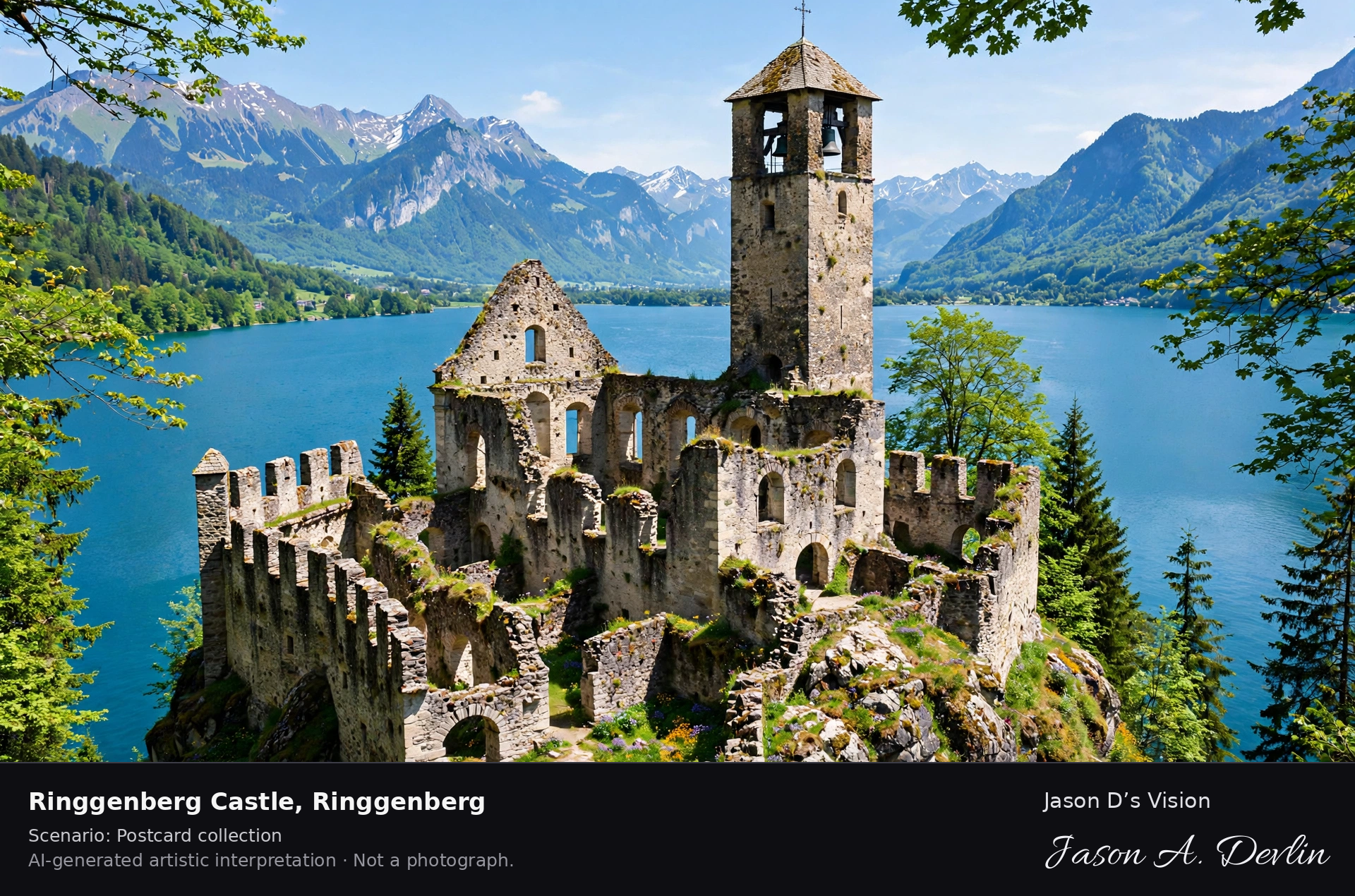
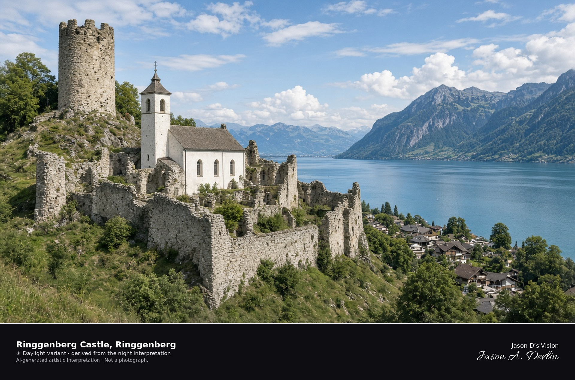
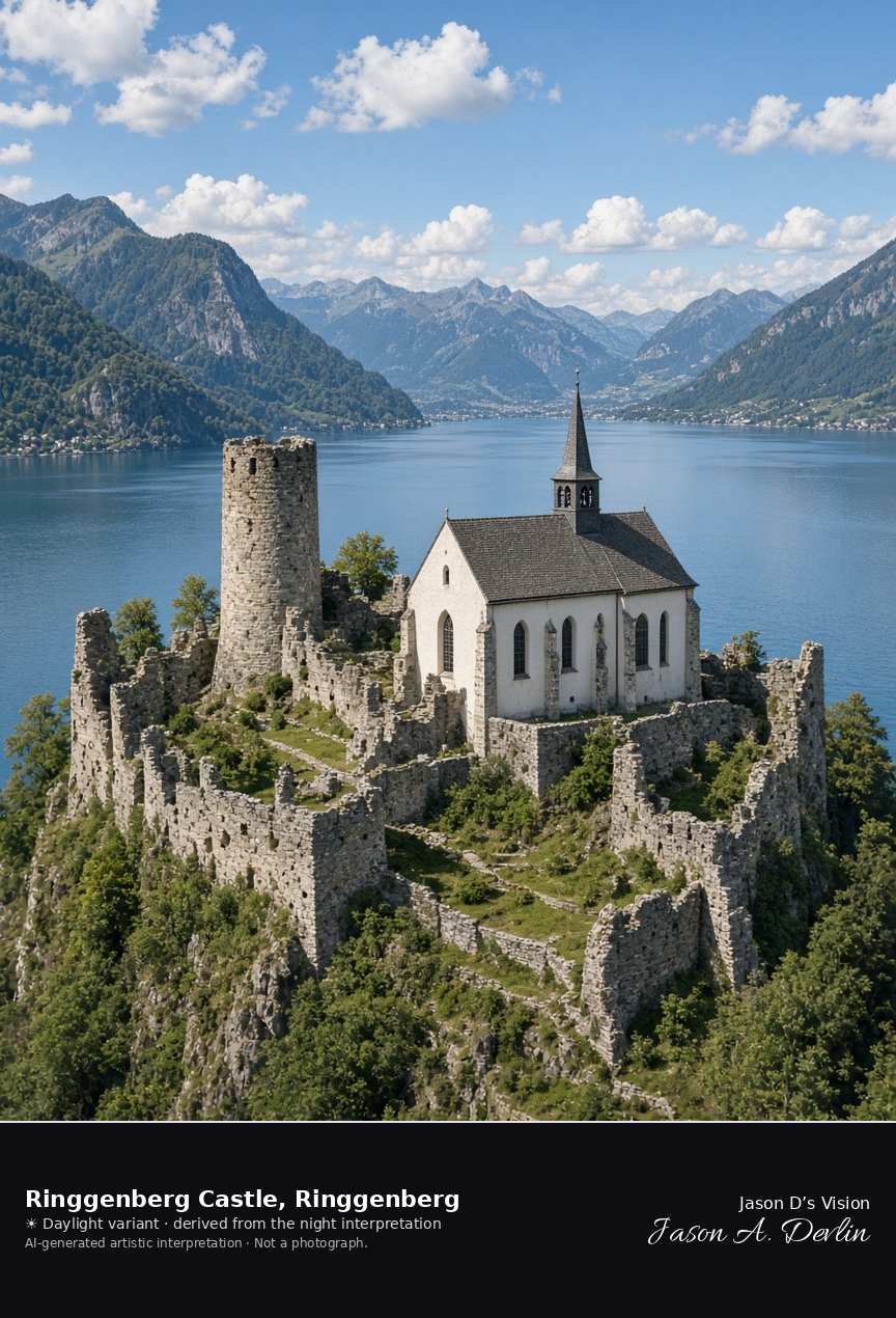
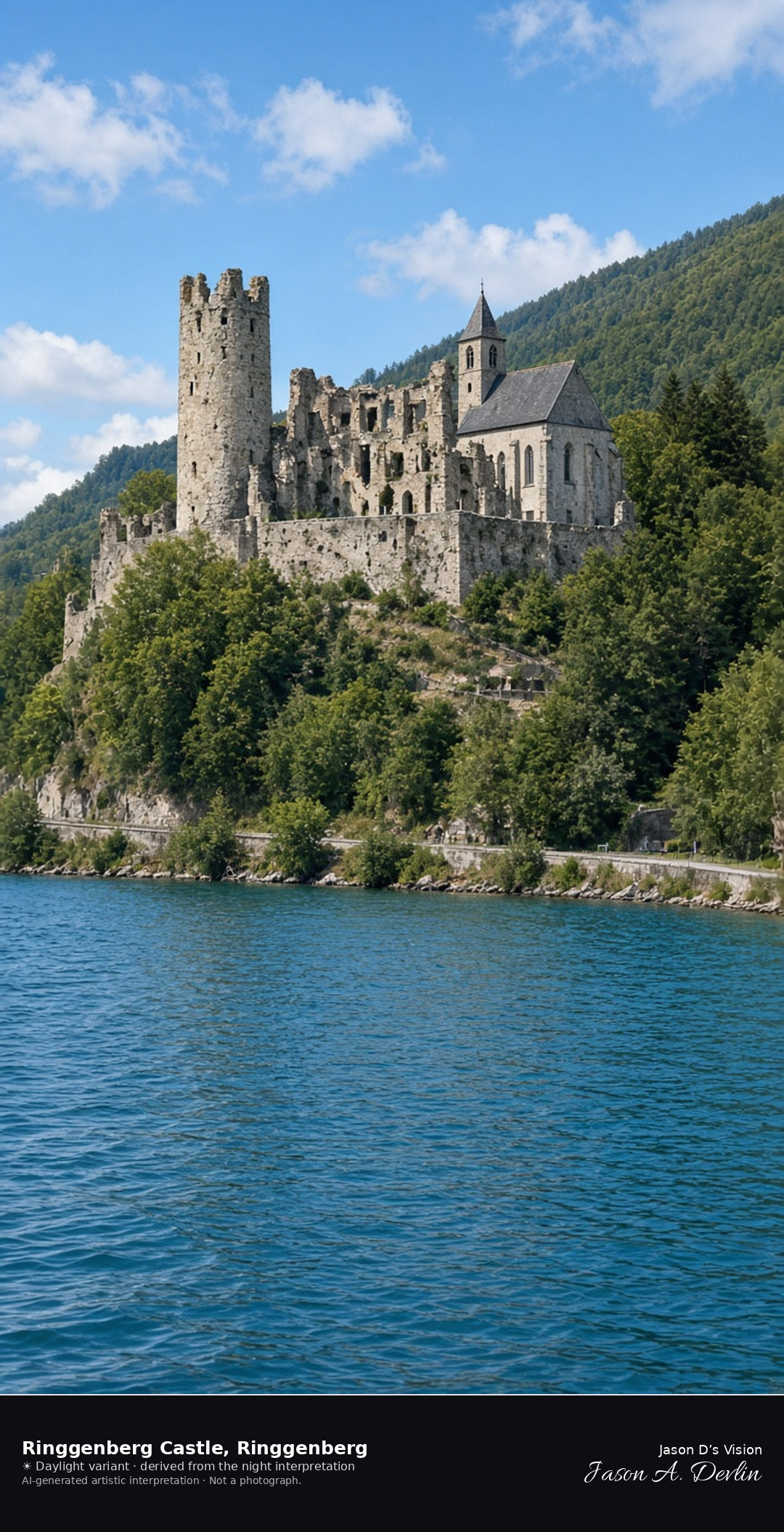
Church built into the ruins of Ringgenberg Castle above Lake Brienz · AI-generated artistic interpretation
Ringgenberg Castle survives as ruined walls and one round tower, with the 1670 church built into them on the hill above Lake Brienz. The church is in use, and the fortification is not rebuilt. Goldswil is only a locality of the same municipality. The Open-Meteo model is overcast and mild, with a light breeze and no precipitation, and the sun is below the horizon.
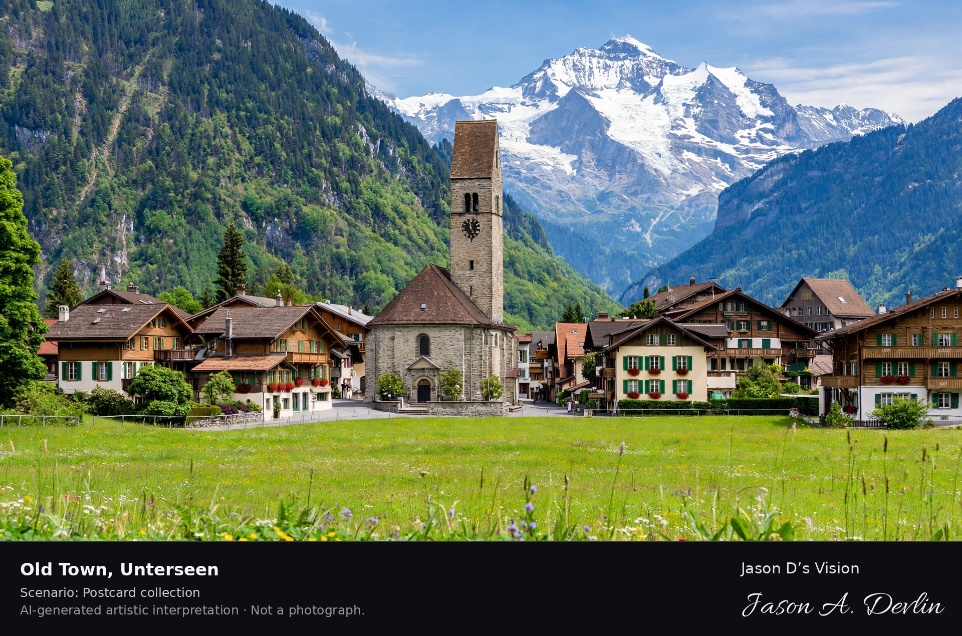
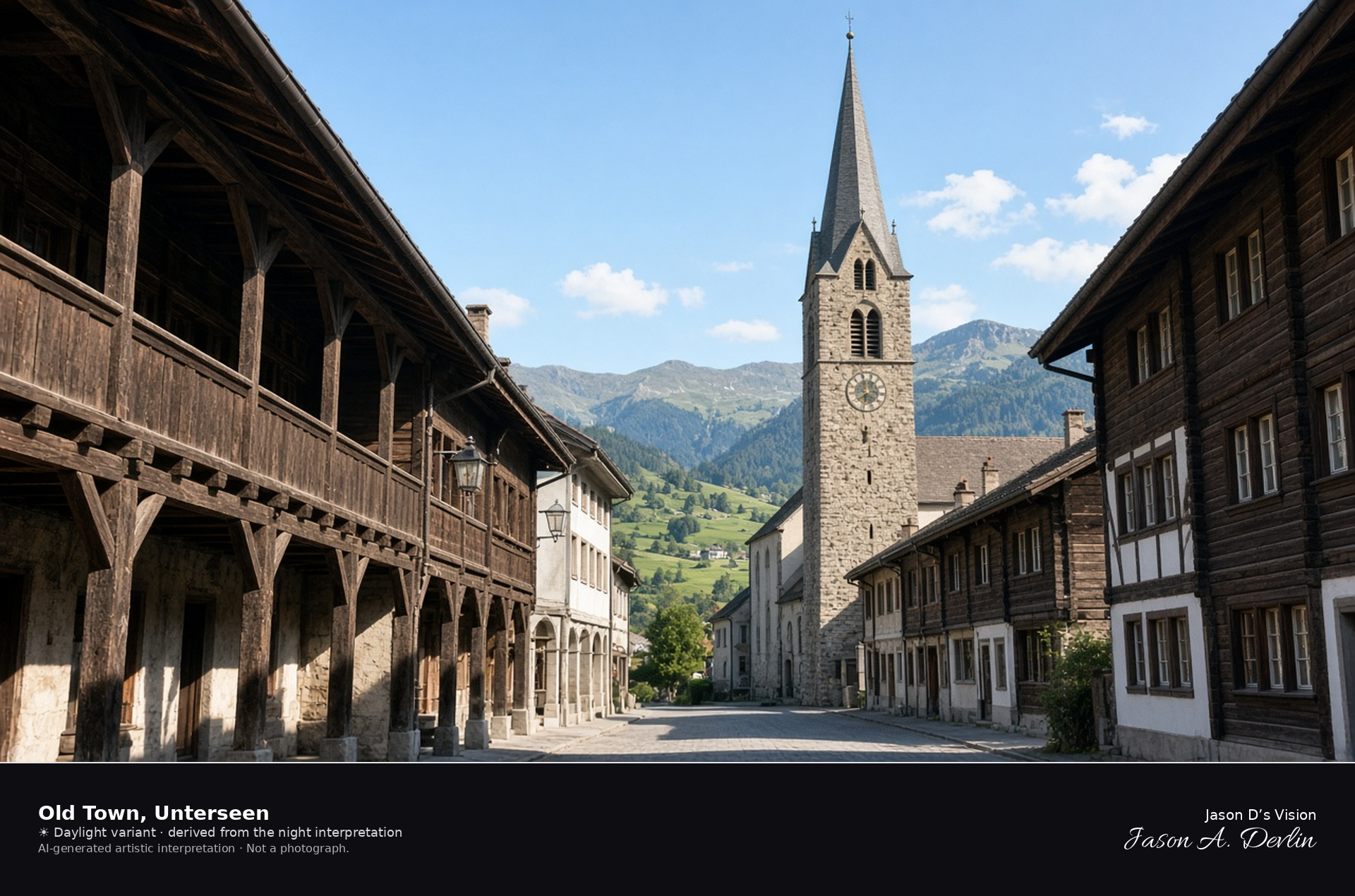
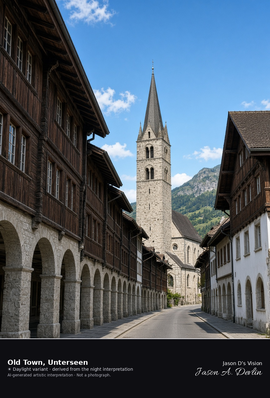
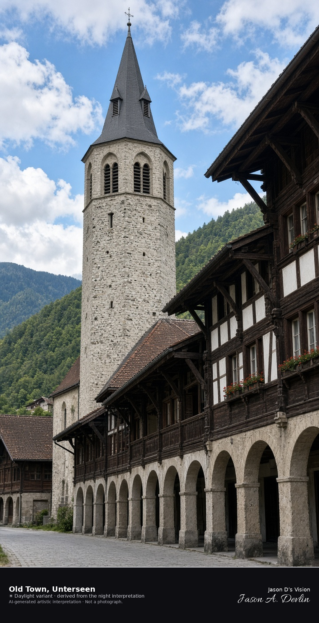
Arcaded old town of Unterseen looking toward the church tower · AI-generated artistic interpretation
Unterseen’s old town is a short arcaded street of wooden houses closing on the tall tower of the reformed church. This is the Stedli at valley level, not the Harder Kulm terrace above the town. No festival banners are added. The Open-Meteo model is overcast and mild, with little wind and no precipitation, and the sun is below the horizon.
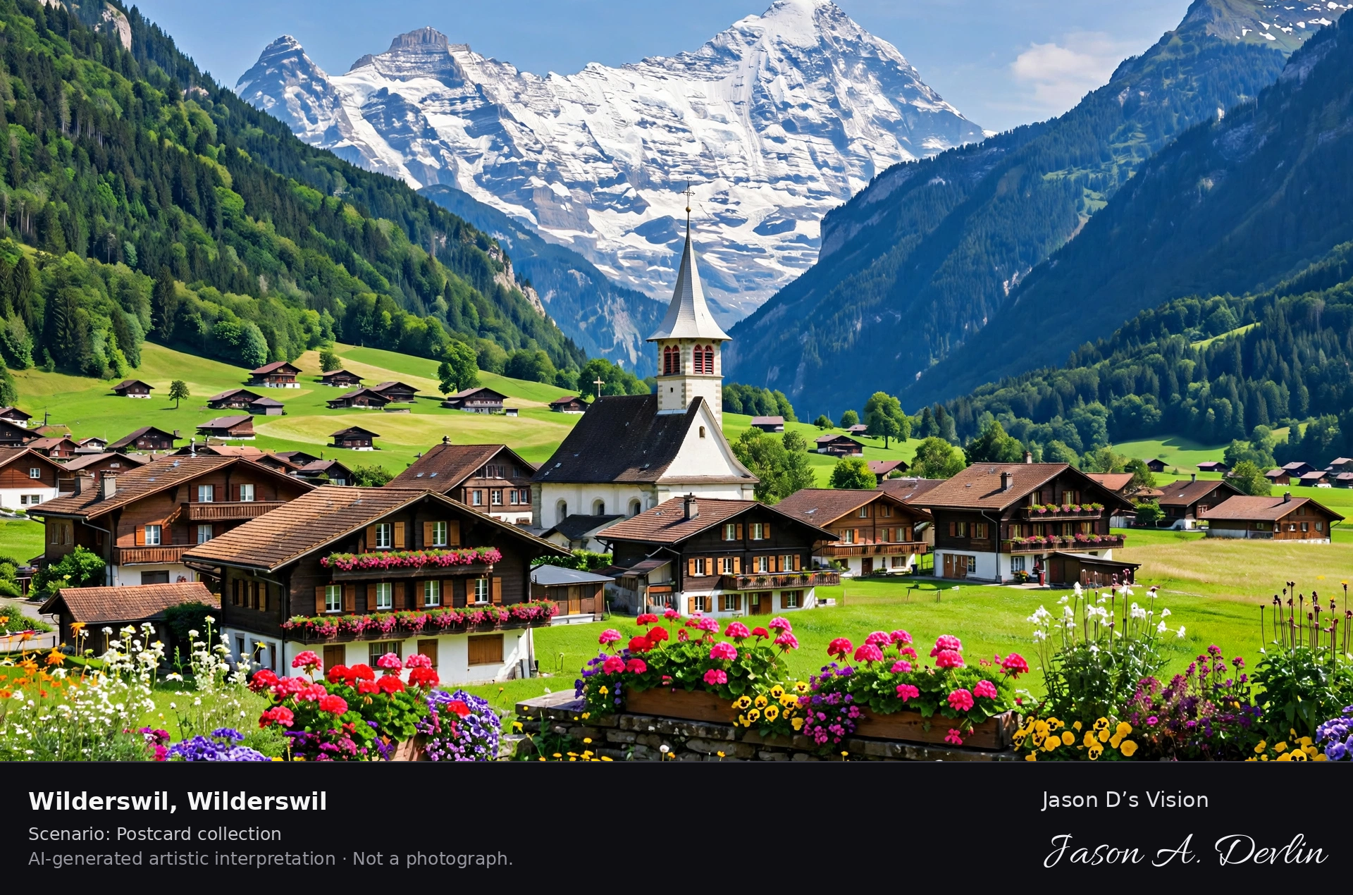
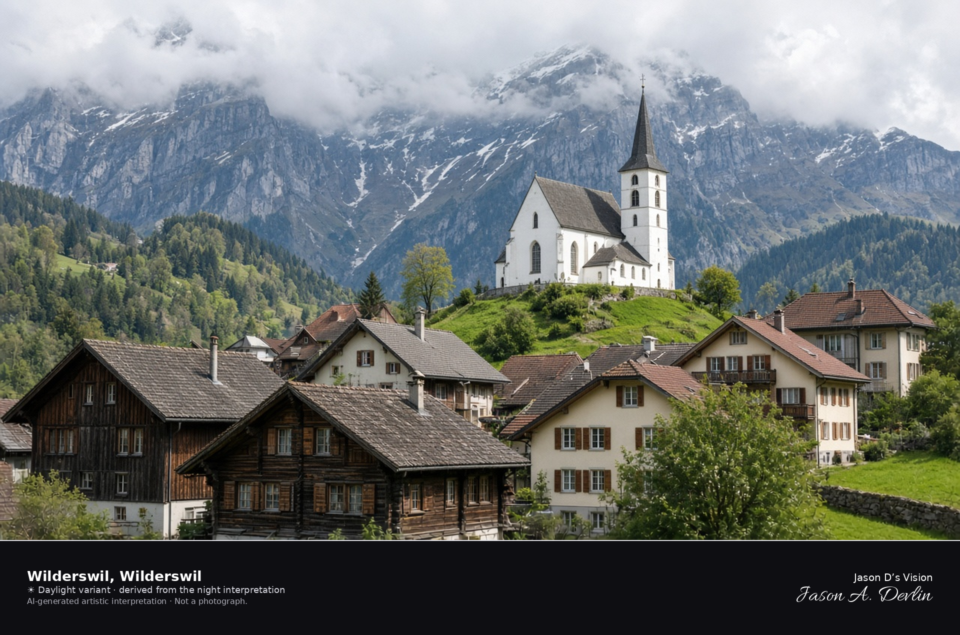
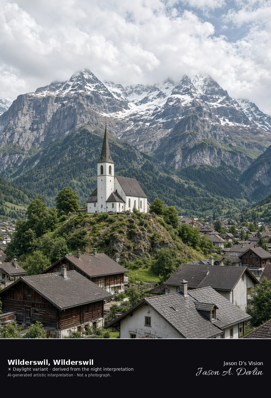
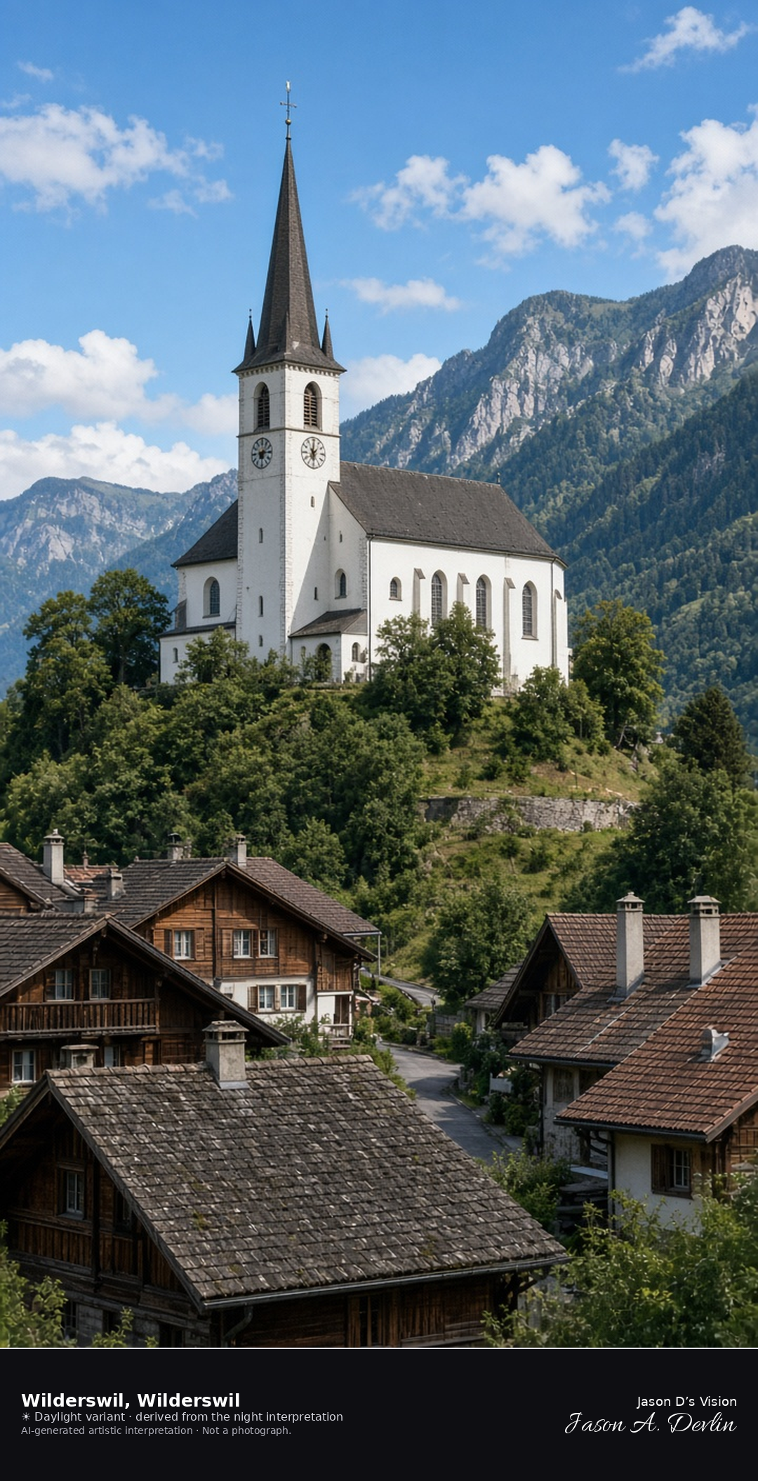
Gsteig church on its hill above the village of Wilderswil · AI-generated artistic interpretation
Wilderswil gathers under the Gsteig church, which stands on a small moraine hill above the village roofs. The houses are the subject, and the high peaks stay in cloud rather than becoming another Jungfrau panorama. This is not Schynige Platte and not Harder Kulm. The Open-Meteo model is overcast and mild, with little wind and no precipitation, and the sun is below the horizon.
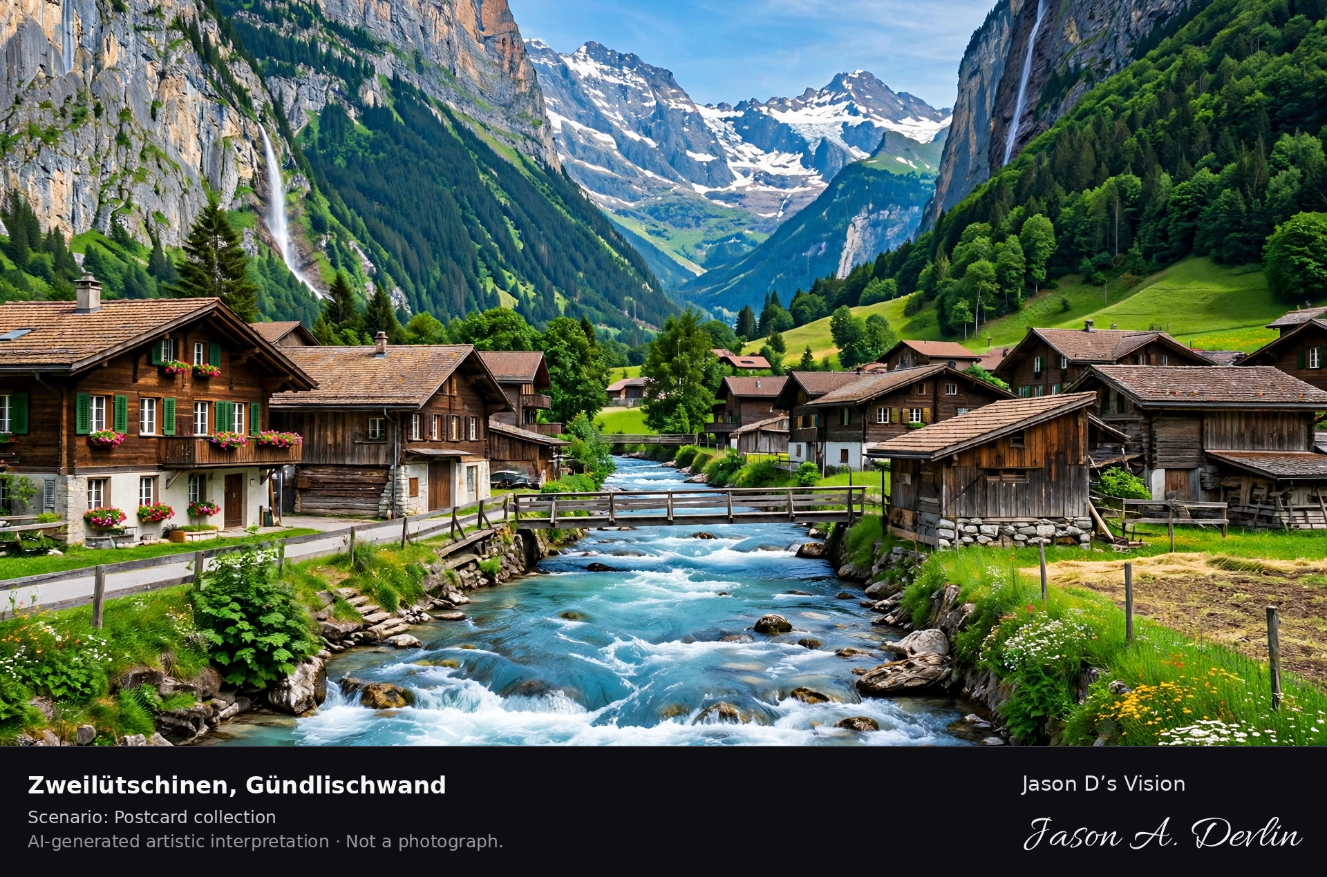
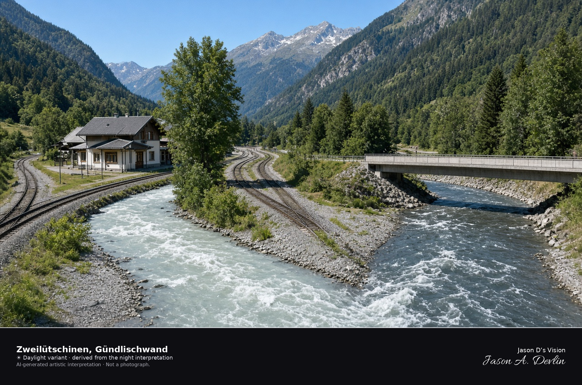
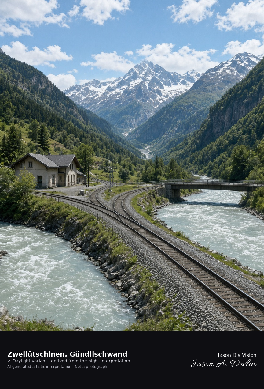
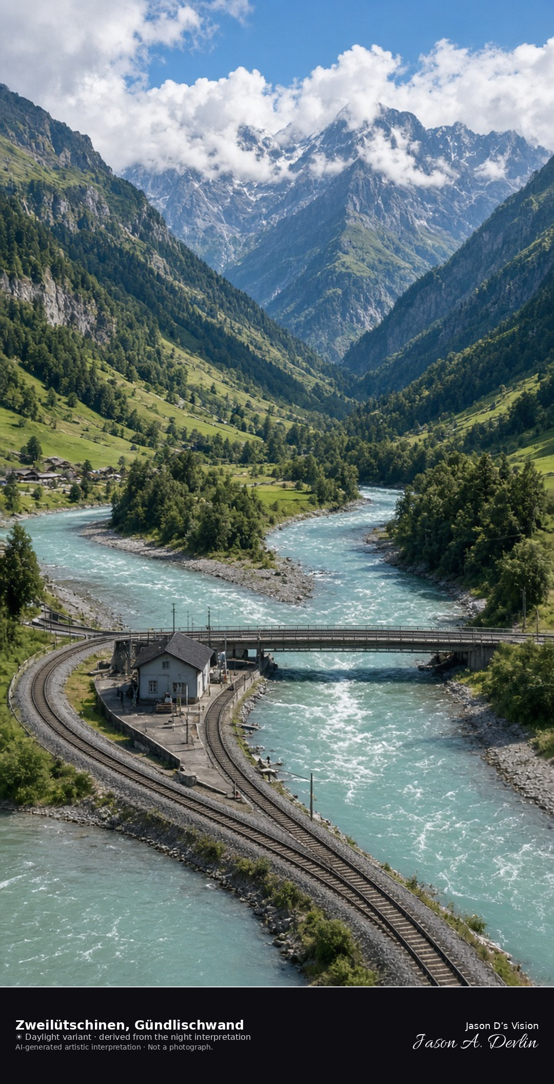
River confluence and railway junction at Zweilütschinen · AI-generated artistic interpretation
Zweilütschinen is the hamlet where the White and Black Lütschine meet, and the railway divides toward the two valleys beside a small station and a bridge. It belongs to Gündlischwand, and it is not the Schynige Platte summit. No station name is readable. The Open-Meteo model is overcast and mild, with a light breeze and no precipitation, and the sun is below the horizon.
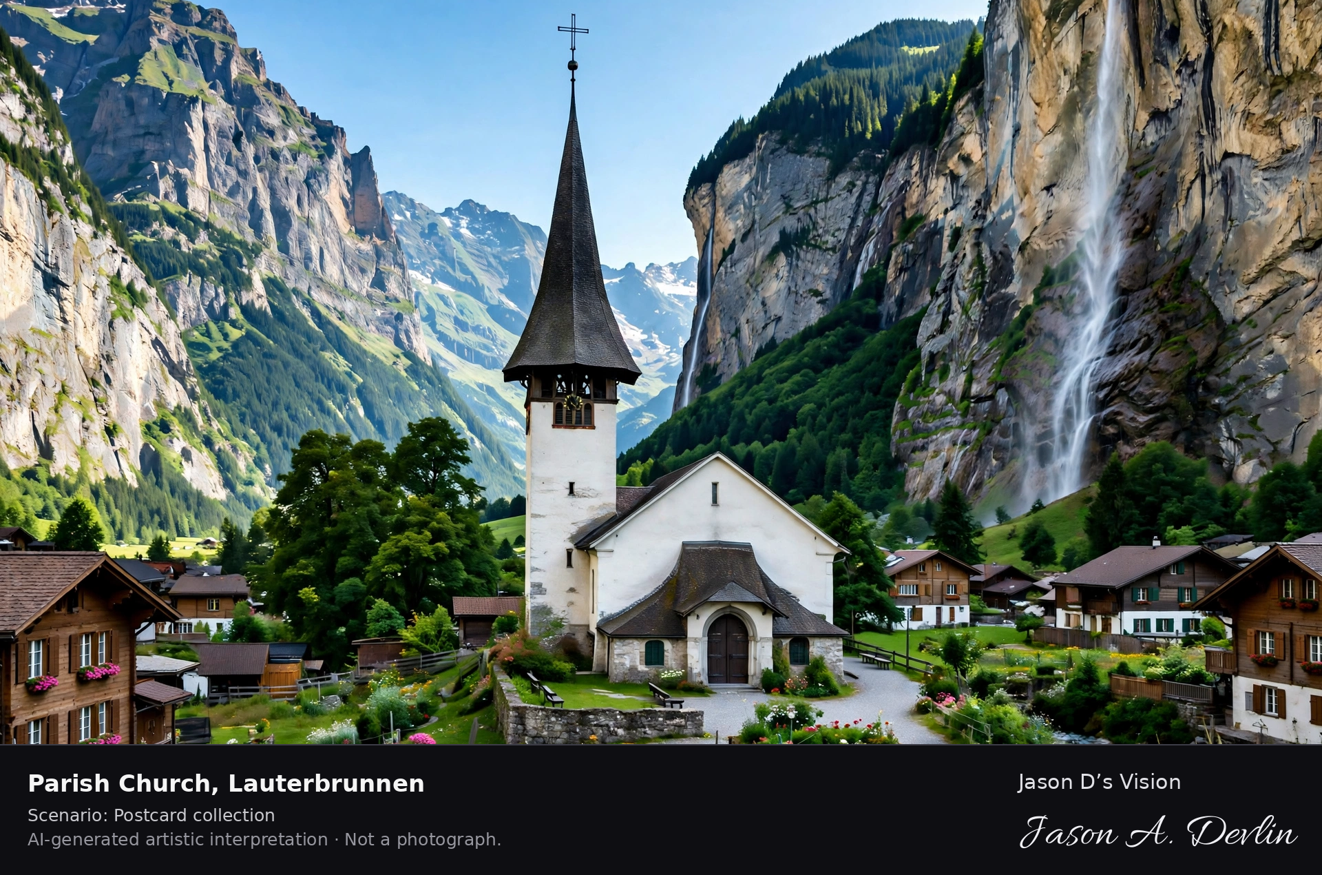
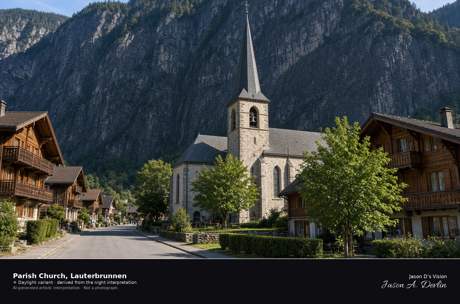
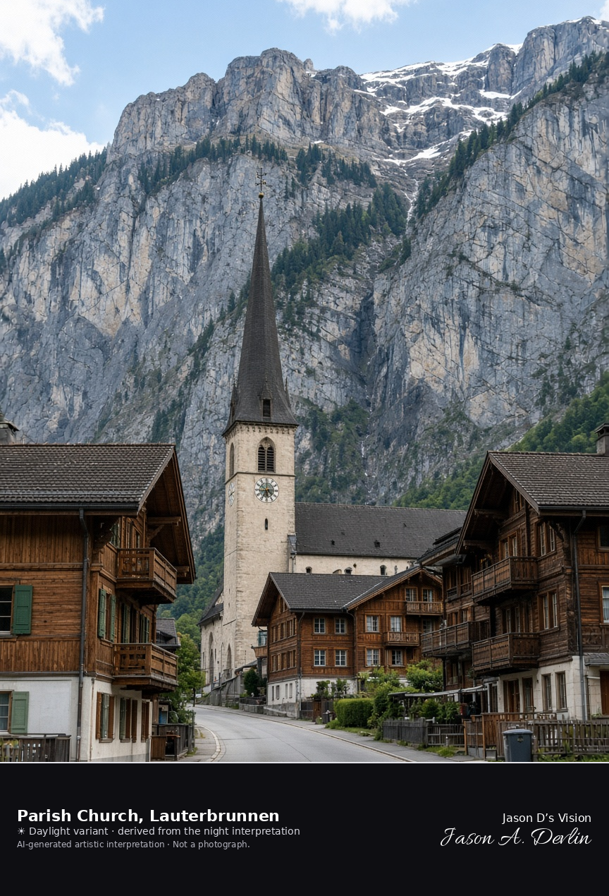
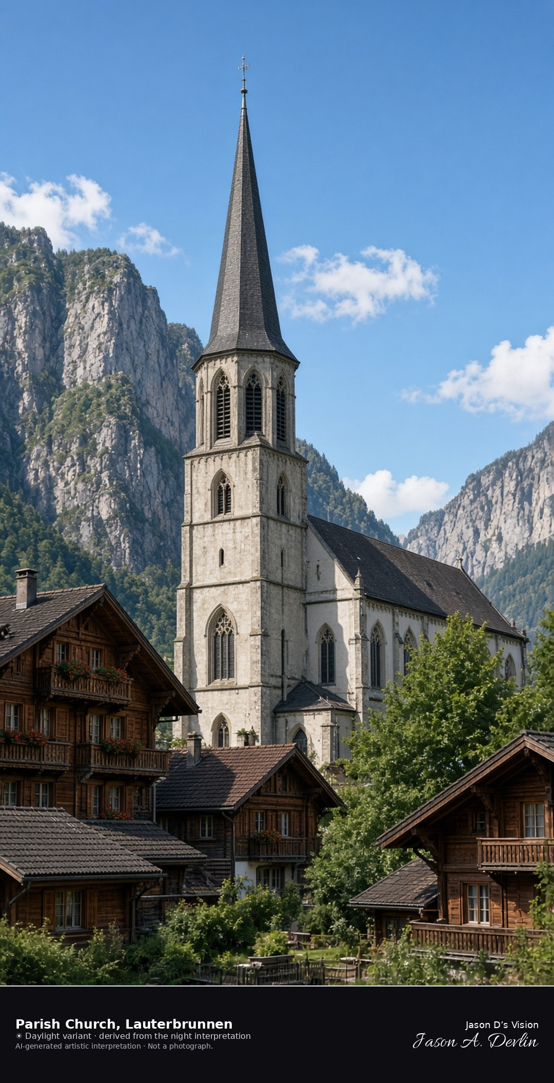
Parish church and village street in Lauterbrunnen · AI-generated artistic interpretation
The reformed parish church of Lauterbrunnen stands in the village street, a tall dark spire among wooden chalets. The frame stays on the church and the houses, and the cliff behind is dark, so this is not the Staubbach portrait and not Trümmelbach. The Open-Meteo weather code is partly cloudy, with cloud cover near nine-tenths, and the air is mild and almost calm, with no precipitation, and the sun is below the horizon.
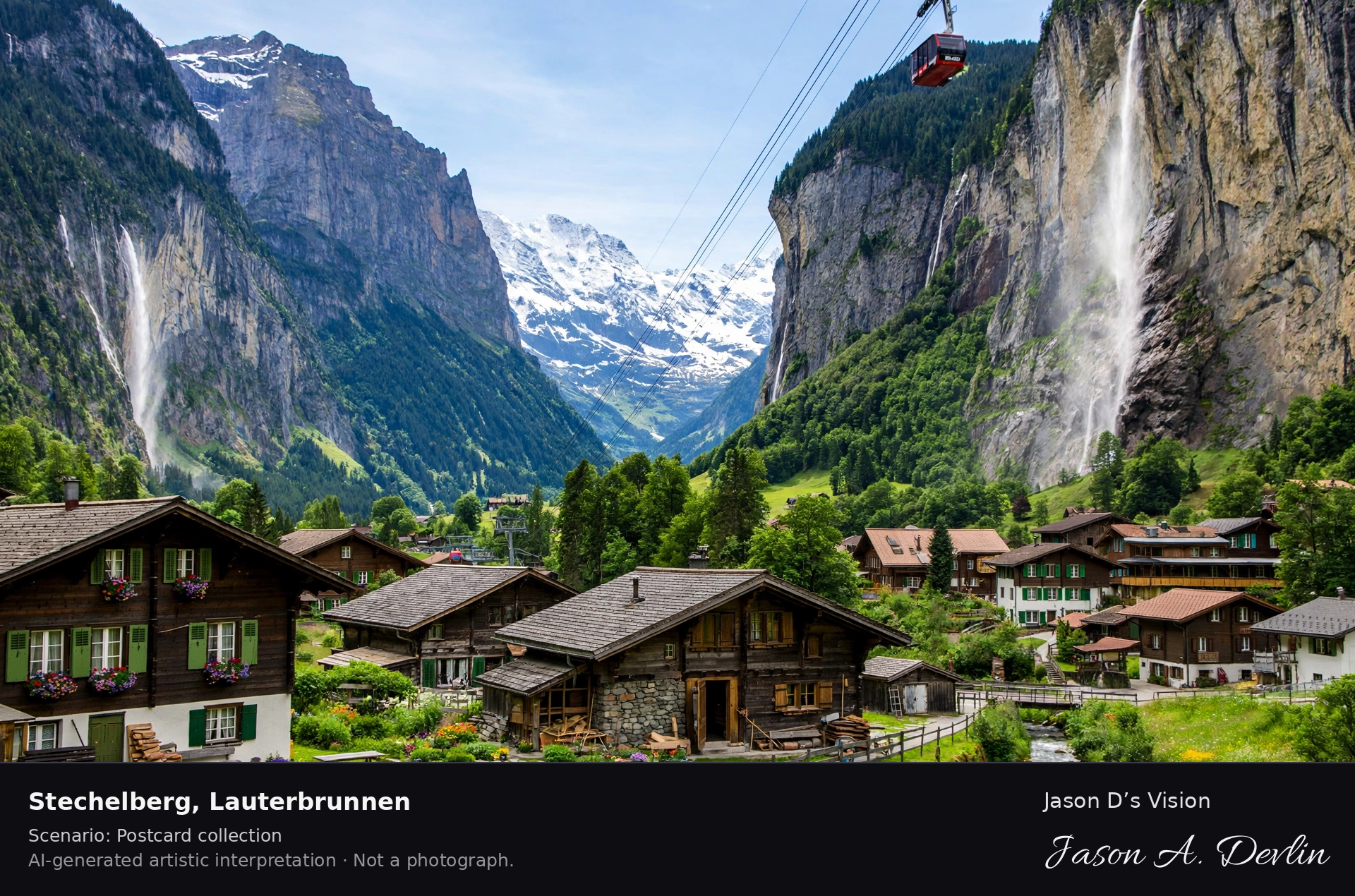
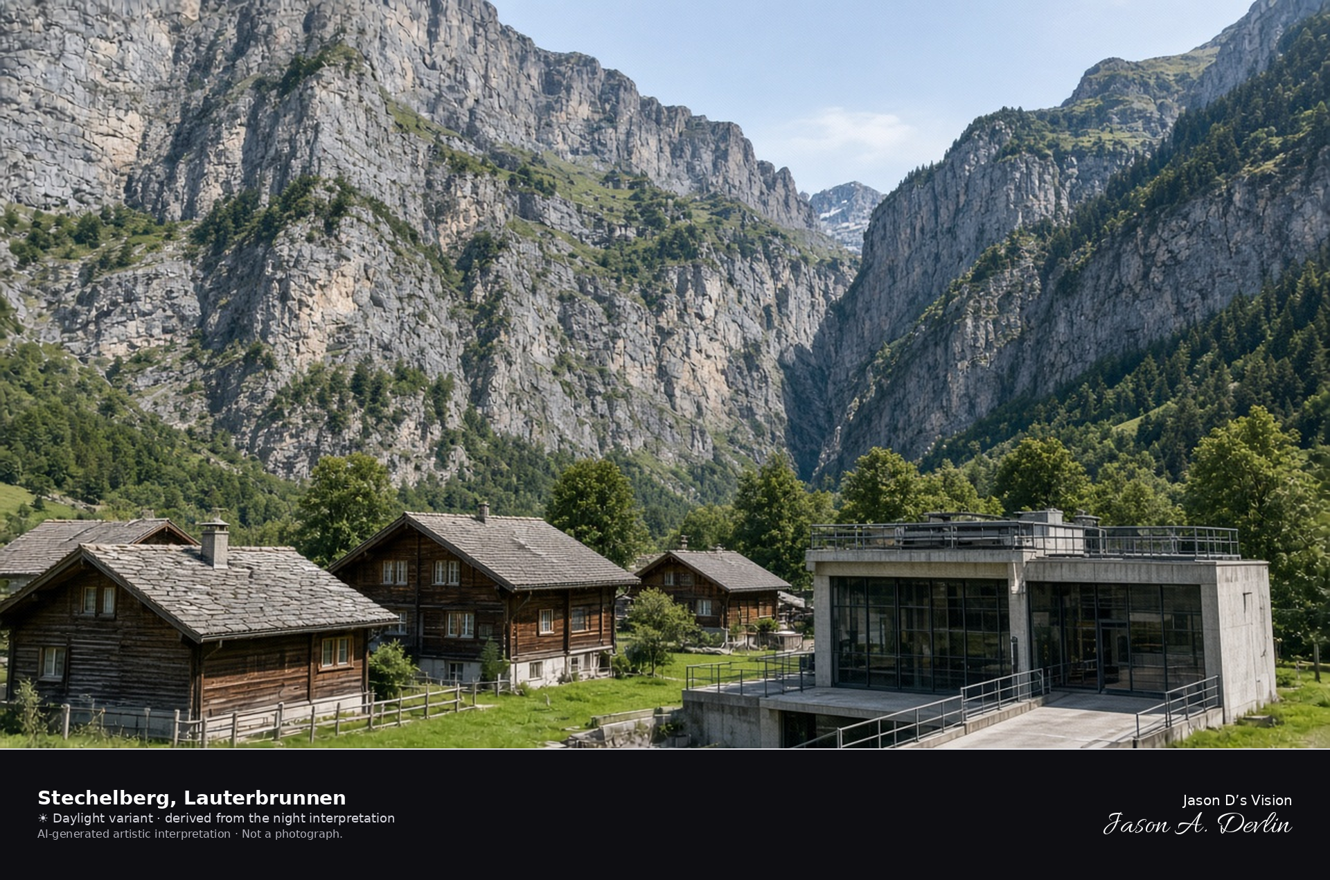
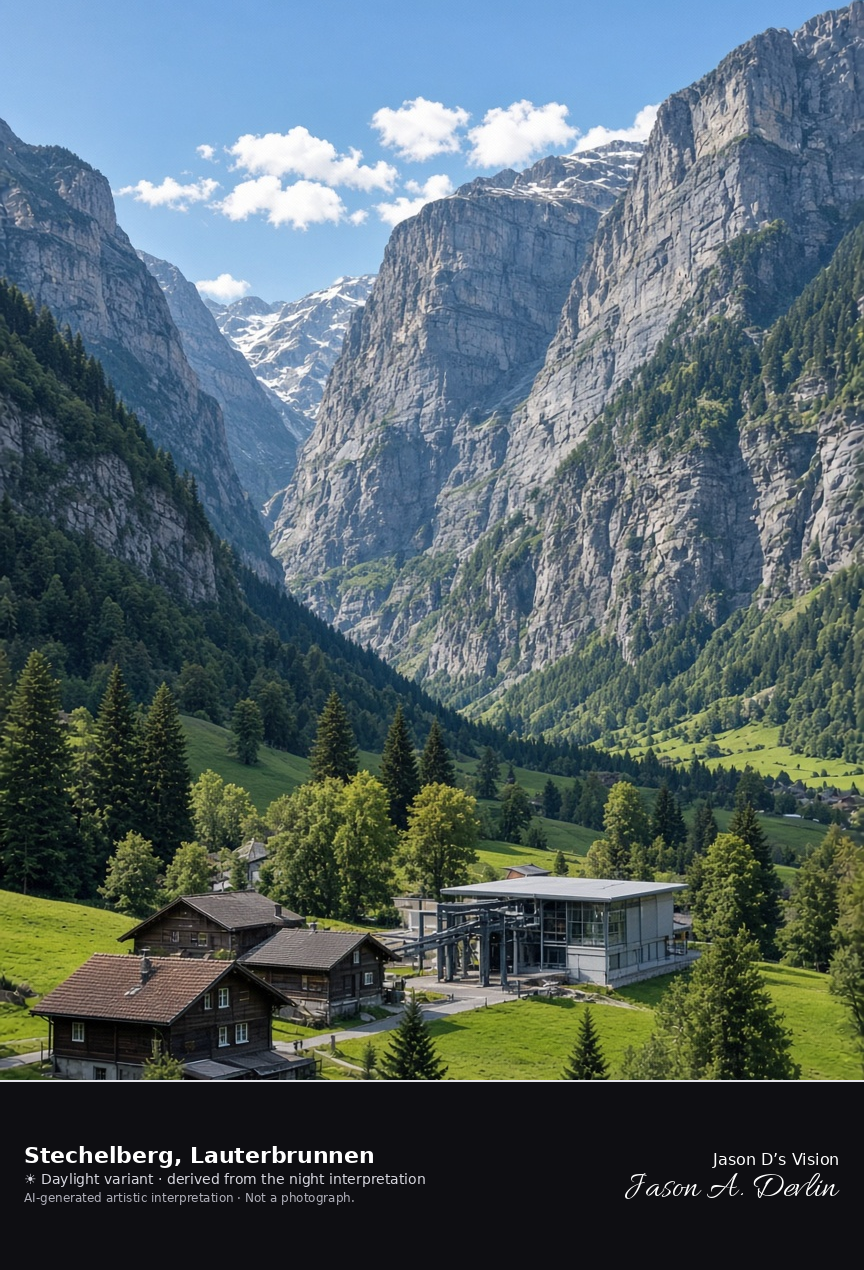
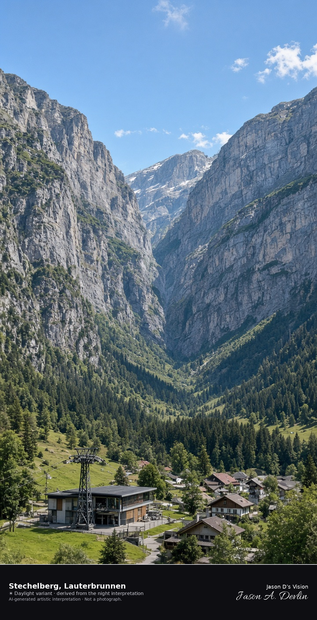
Stechelberg at the head of the Lauterbrunnen valley · AI-generated artistic interpretation
Stechelberg is the last hamlet on the road up the Lauterbrunnen valley, a few houses and the cable-car valley station under walls that close the valley. It is not Staubbach, which is farther down the valley, and not the Schilthorn summit. The Open-Meteo model is partly cloudy, warm, and very dry, with a breeze and no precipitation, and the sun is below the horizon.
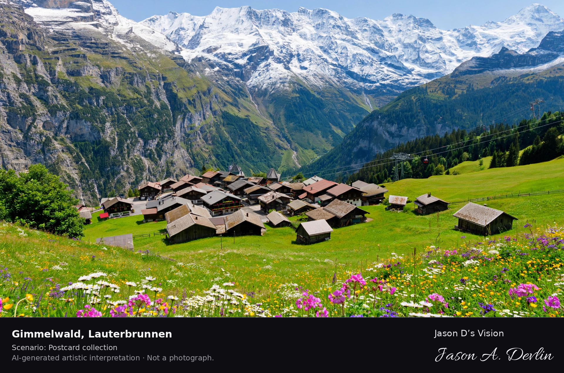
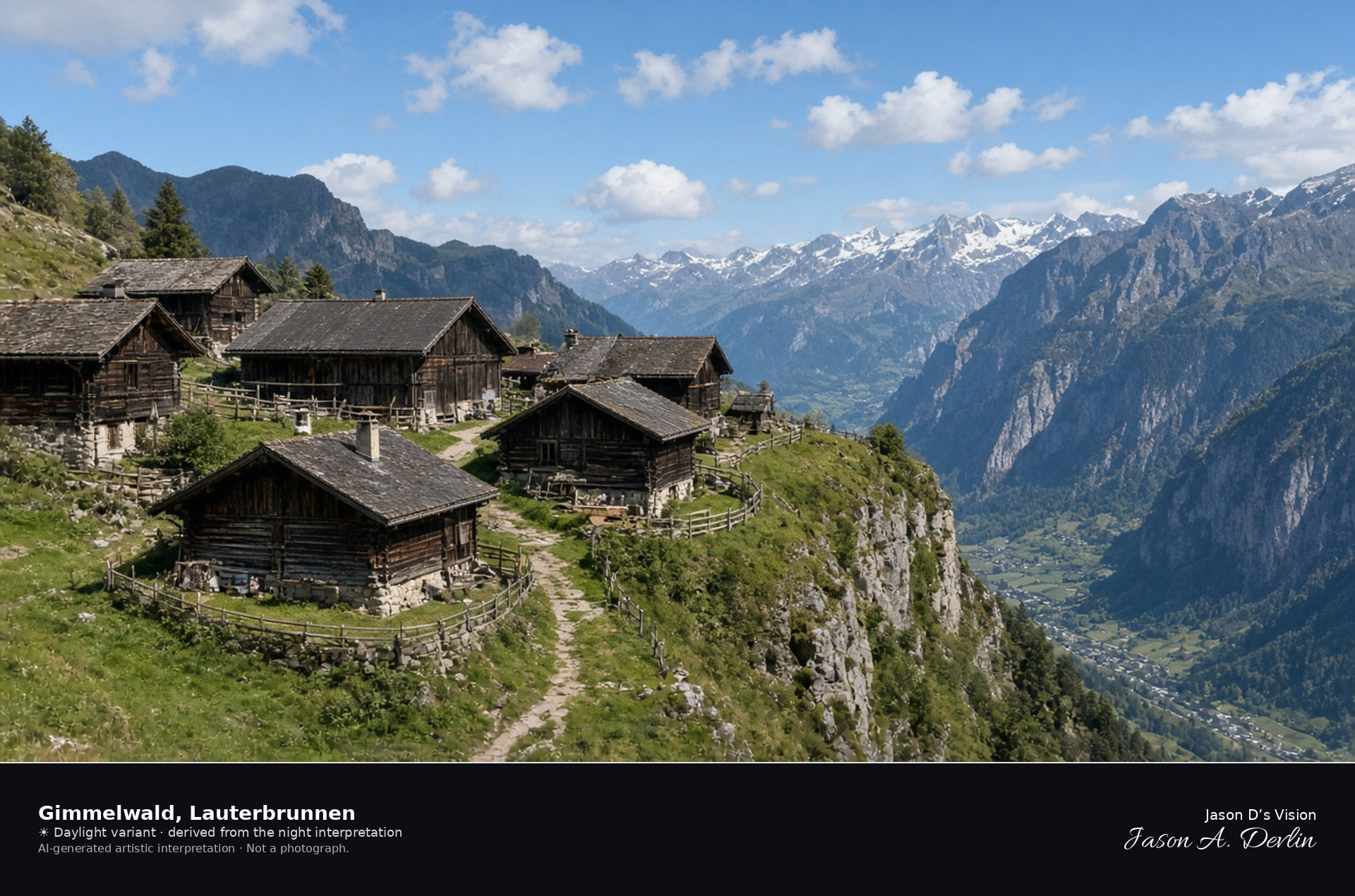
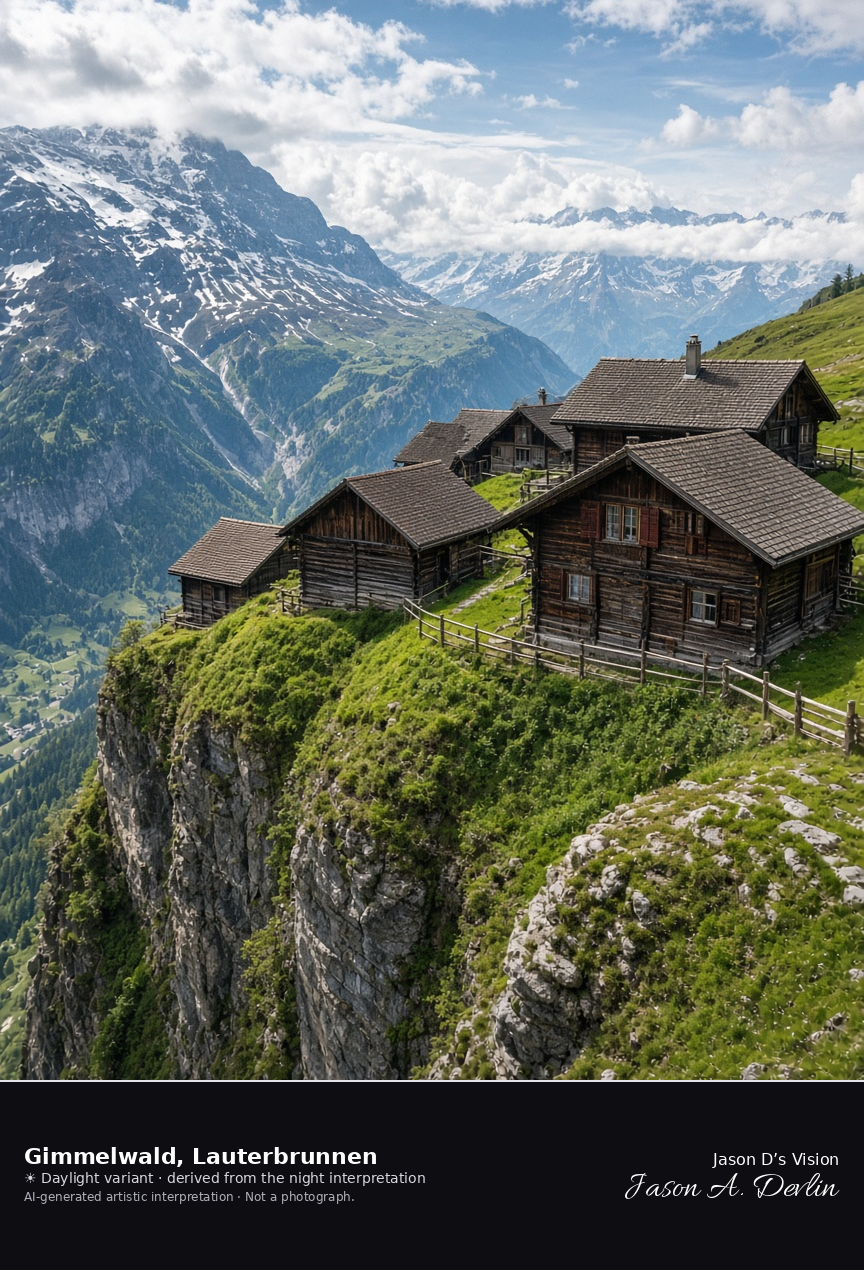
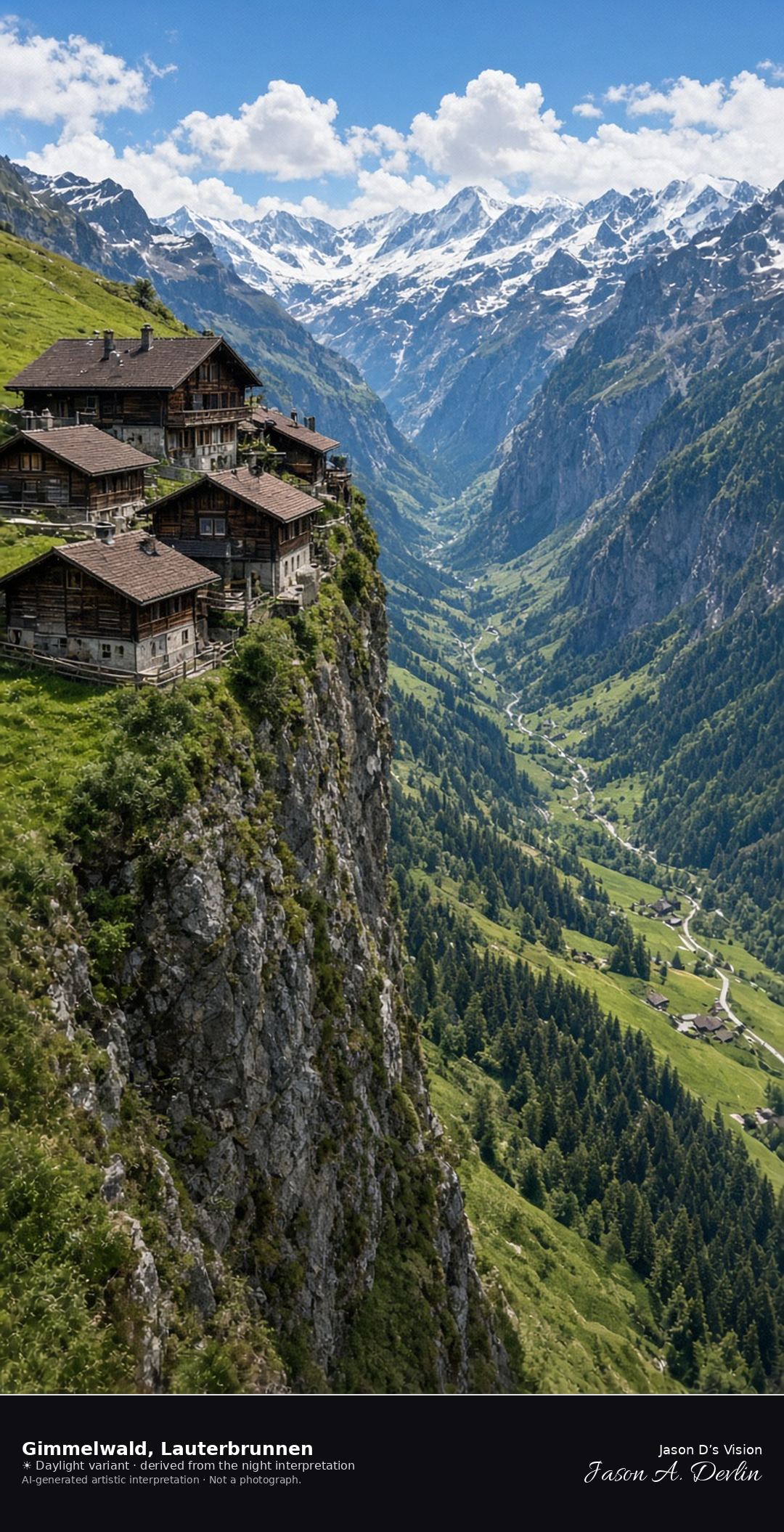
Car-free hamlet of Gimmelwald on its cliff terrace · AI-generated artistic interpretation
Gimmelwald is a few dark wooden chalets and barns on a car-free terrace above the Lauterbrunnen valley, with the ground dropping away beside the houses. It sits below Mürren and is the smaller hamlet, not the Mürren village street and not the Schilthorn. The Open-Meteo model is partly cloudy and mild, with dry air, a breeze, and no precipitation, and the sun is below the horizon.
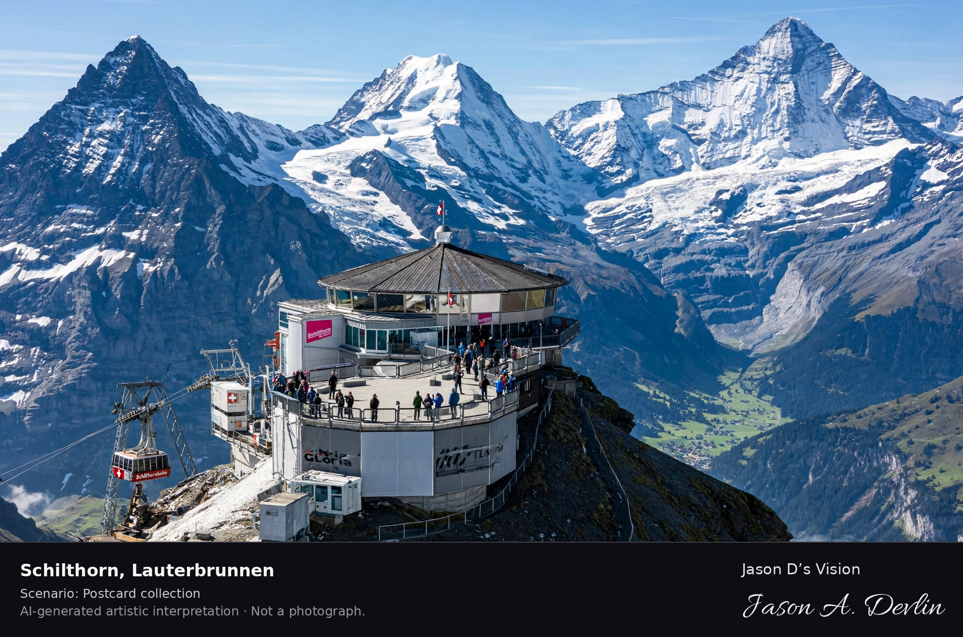
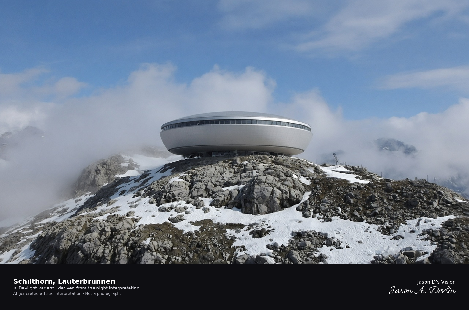
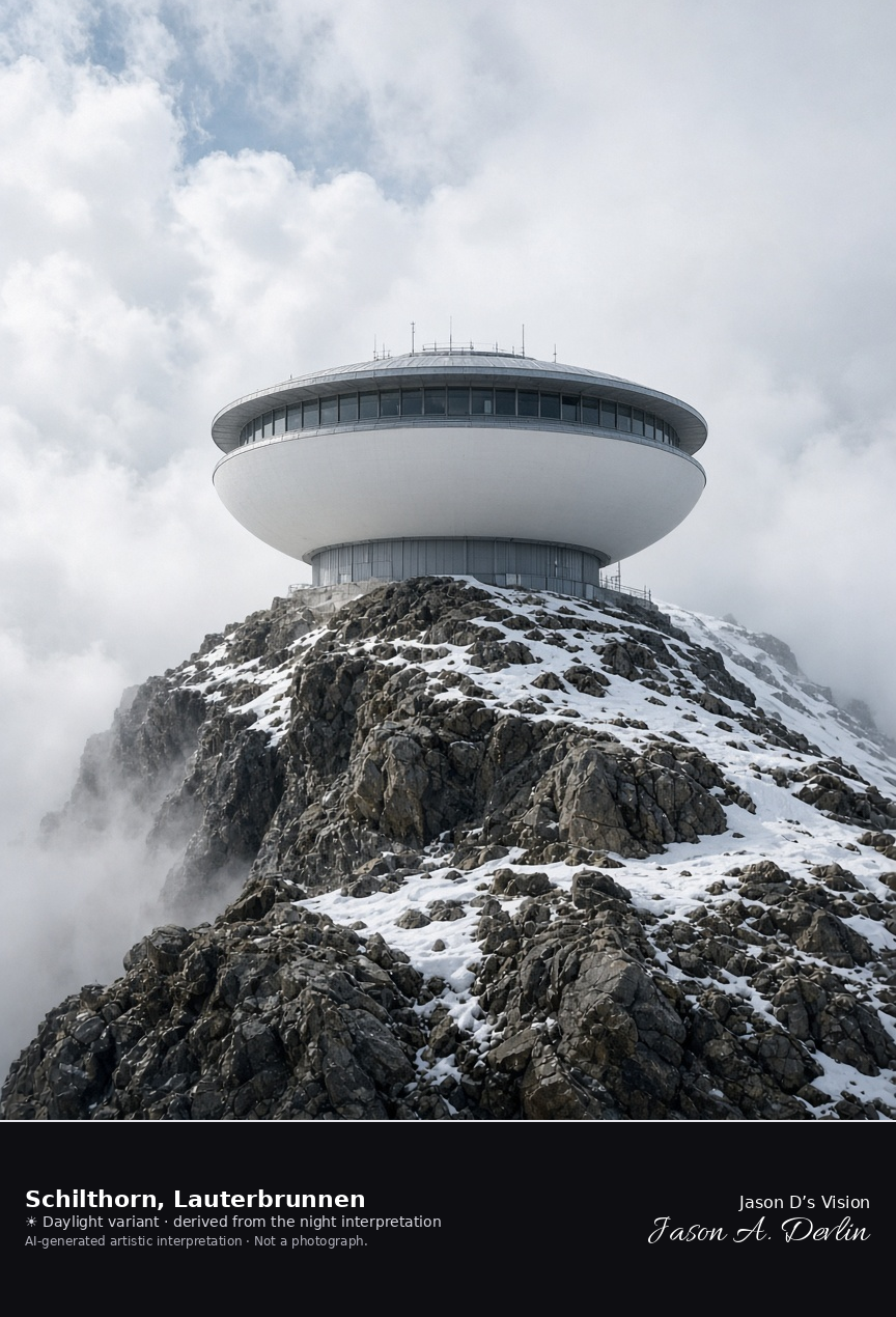
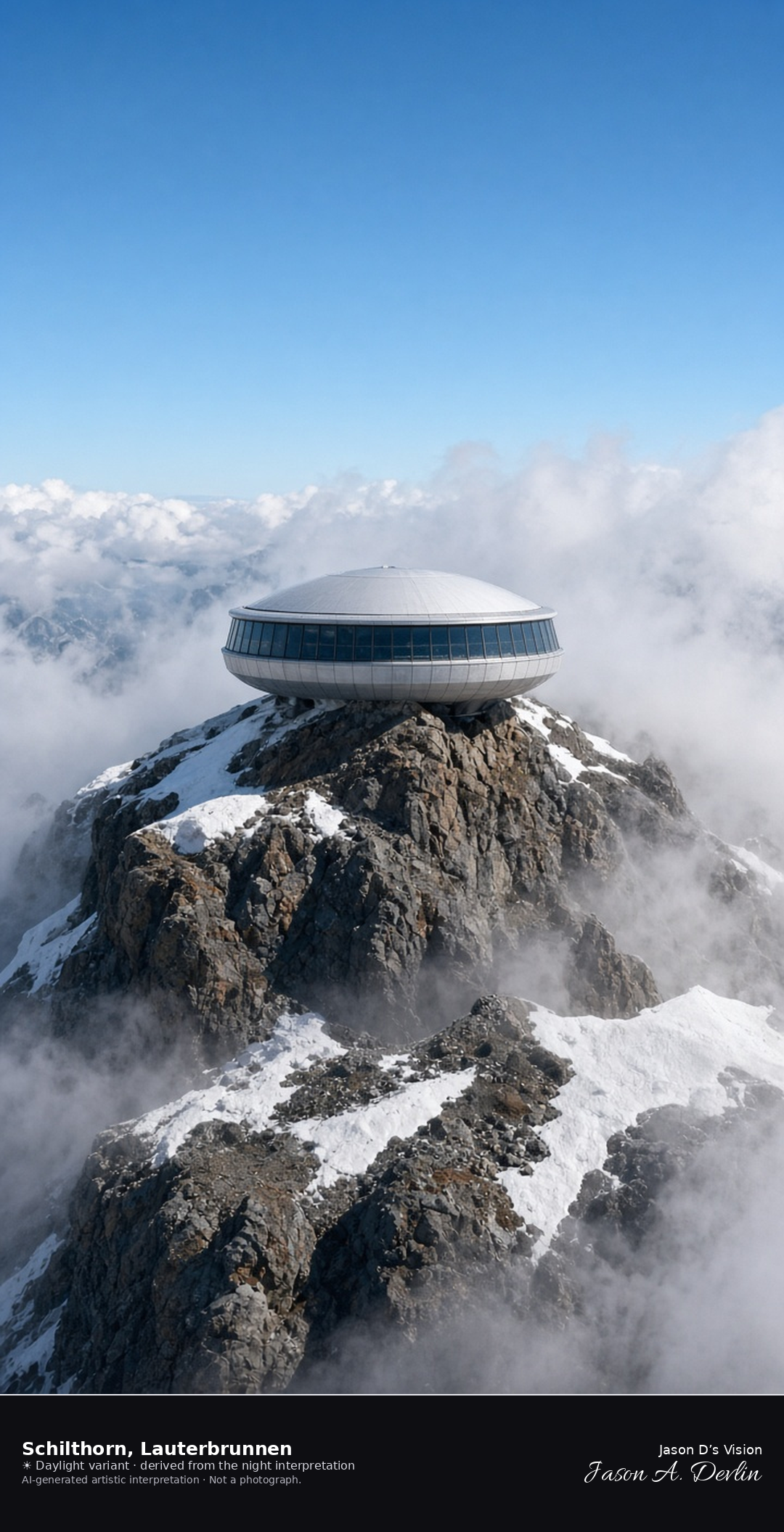
Schilthorn summit building above Mürren, in the municipality of Lauterbrunnen · AI-generated artistic interpretation
The Schilthorn is the rocky summit above Mürren, in the municipality of Lauterbrunnen, and the frame is the summit building in cloud rather than the village street. Old snow clings to the ridge in patches, and no name or emblem is readable on the building. The Open-Meteo weather code is mainly clear, with cloud cover near four-fifths, and the air is near freezing, with a cold wind and no precipitation, and the sun is below the horizon.
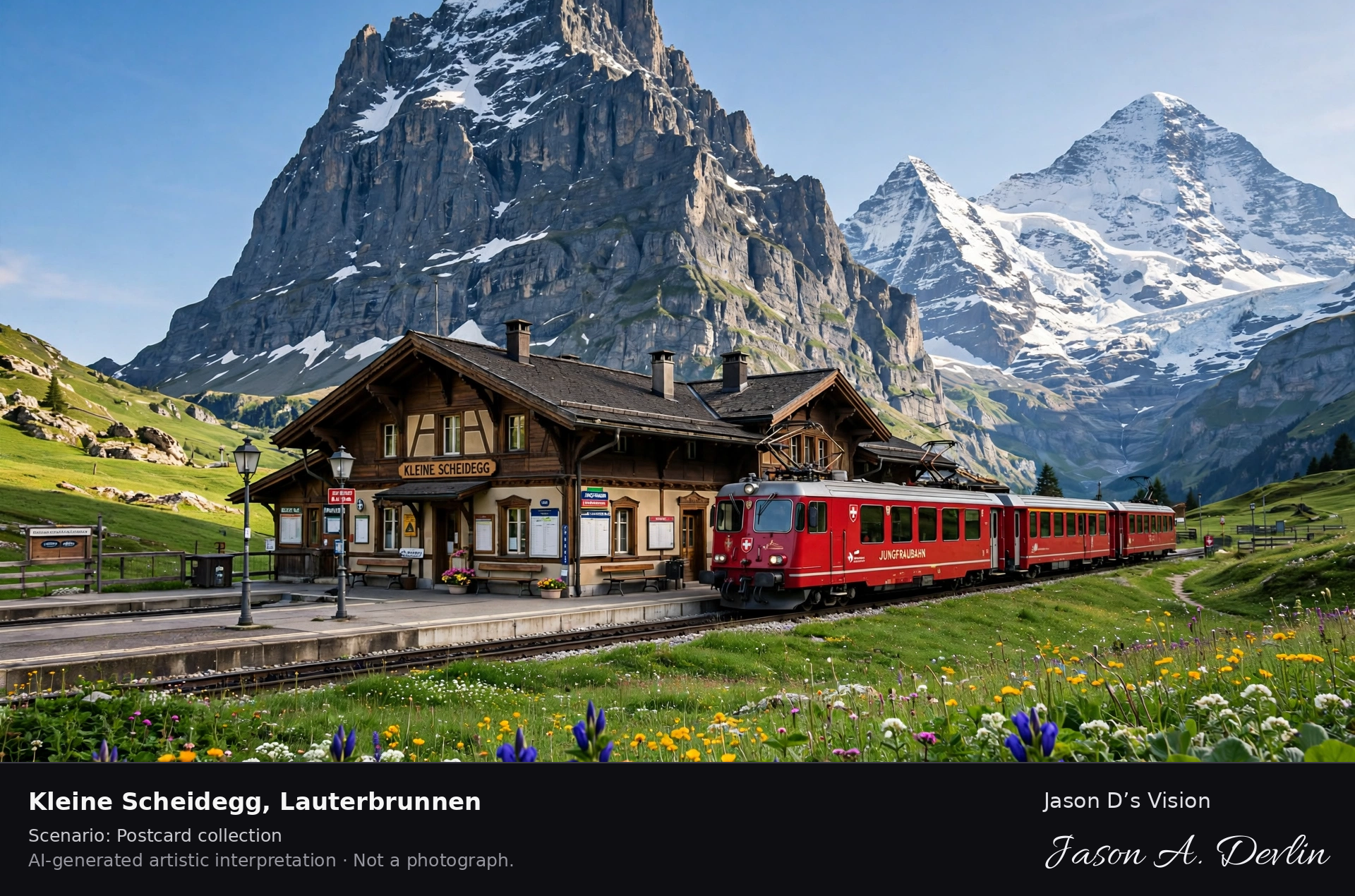
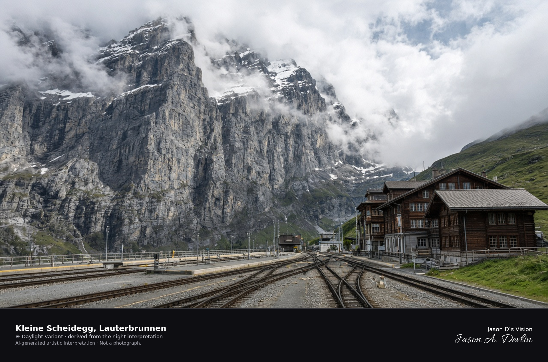
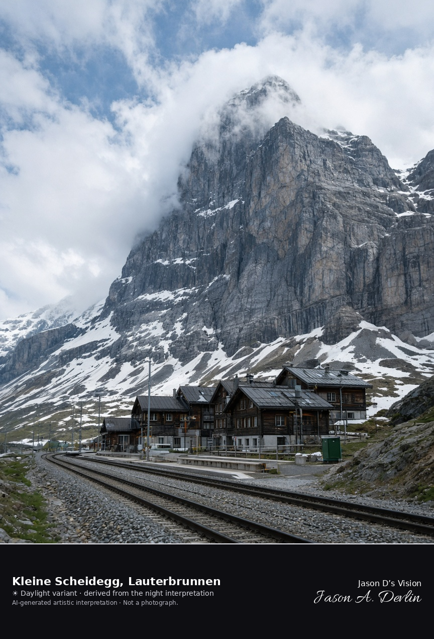
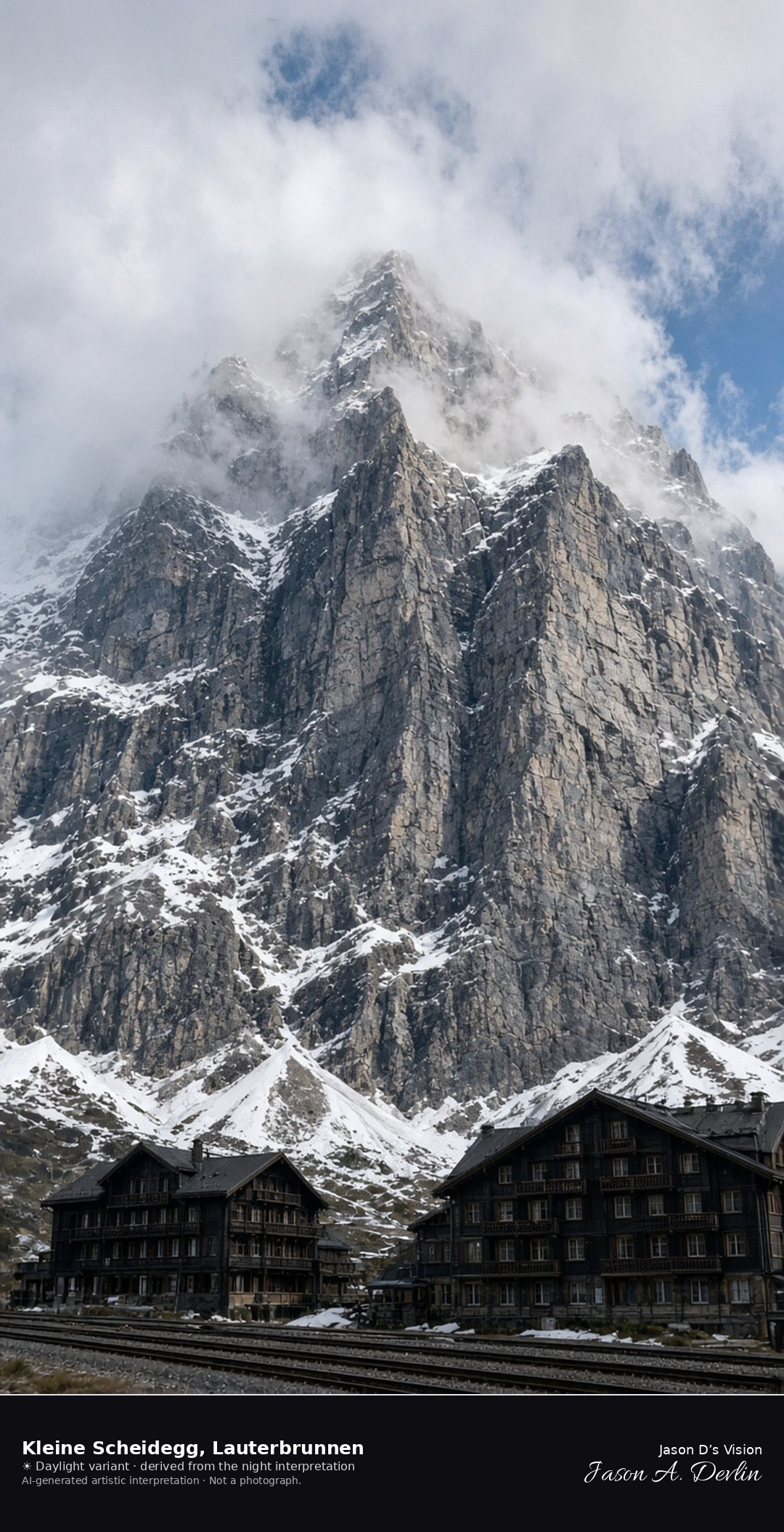
Railway saddle and hotels at Kleine Scheidegg · AI-generated artistic interpretation
Kleine Scheidegg is the railway saddle between the Eiger and the Lauberhorn, and the station, with its tracks and dark hotels, sits in Lauterbrunnen a few metres from Grindelwald. The Eiger wall rises beside the platforms and disappears into cloud, so this is the pass, not the meadow portrait from the valley. No hotel name is readable. The Open-Meteo weather code is partly cloudy, with cloud cover near complete, and the air is cool and dry, with a breeze and no precipitation, and the sun is below the horizon.
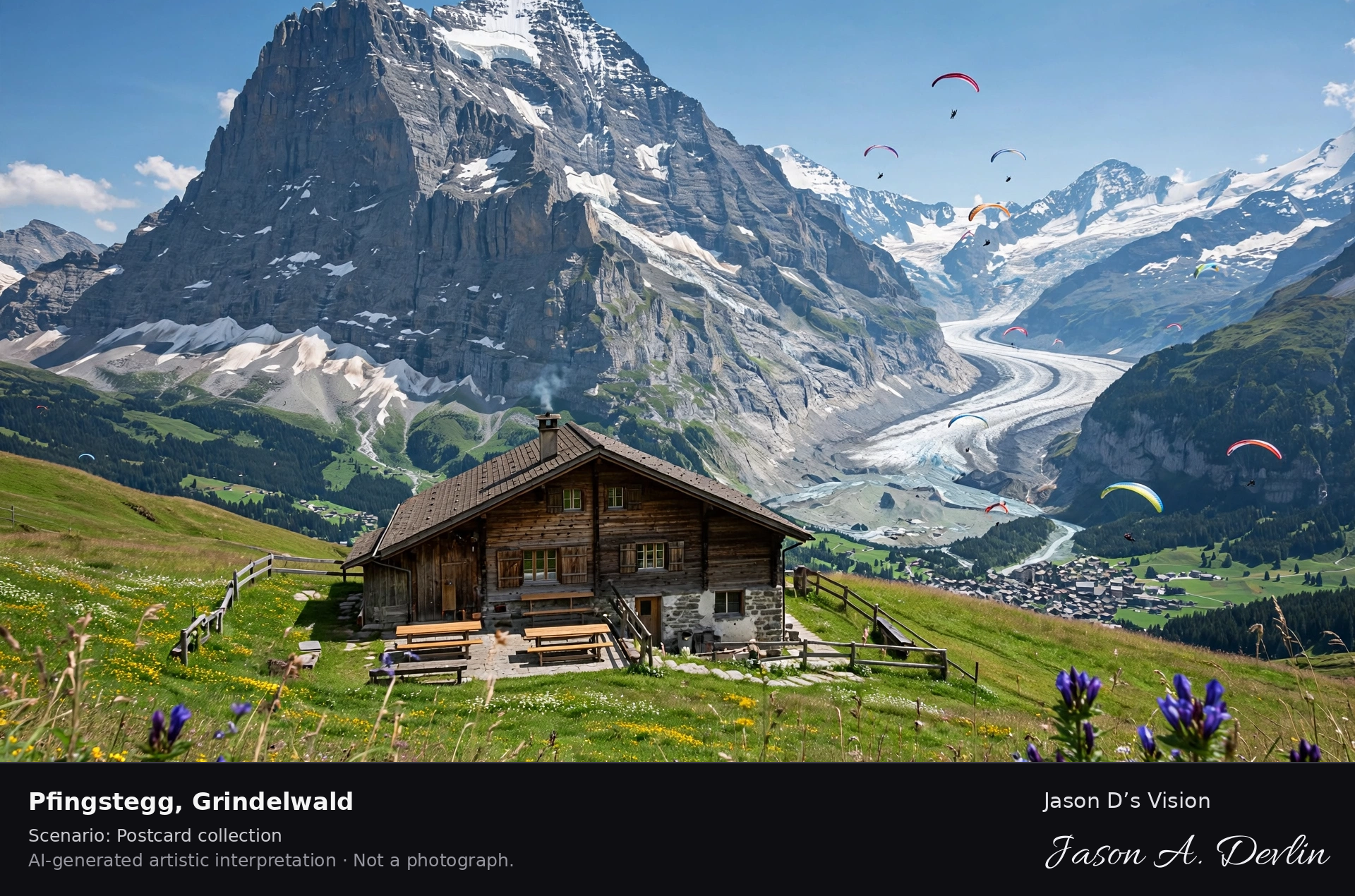
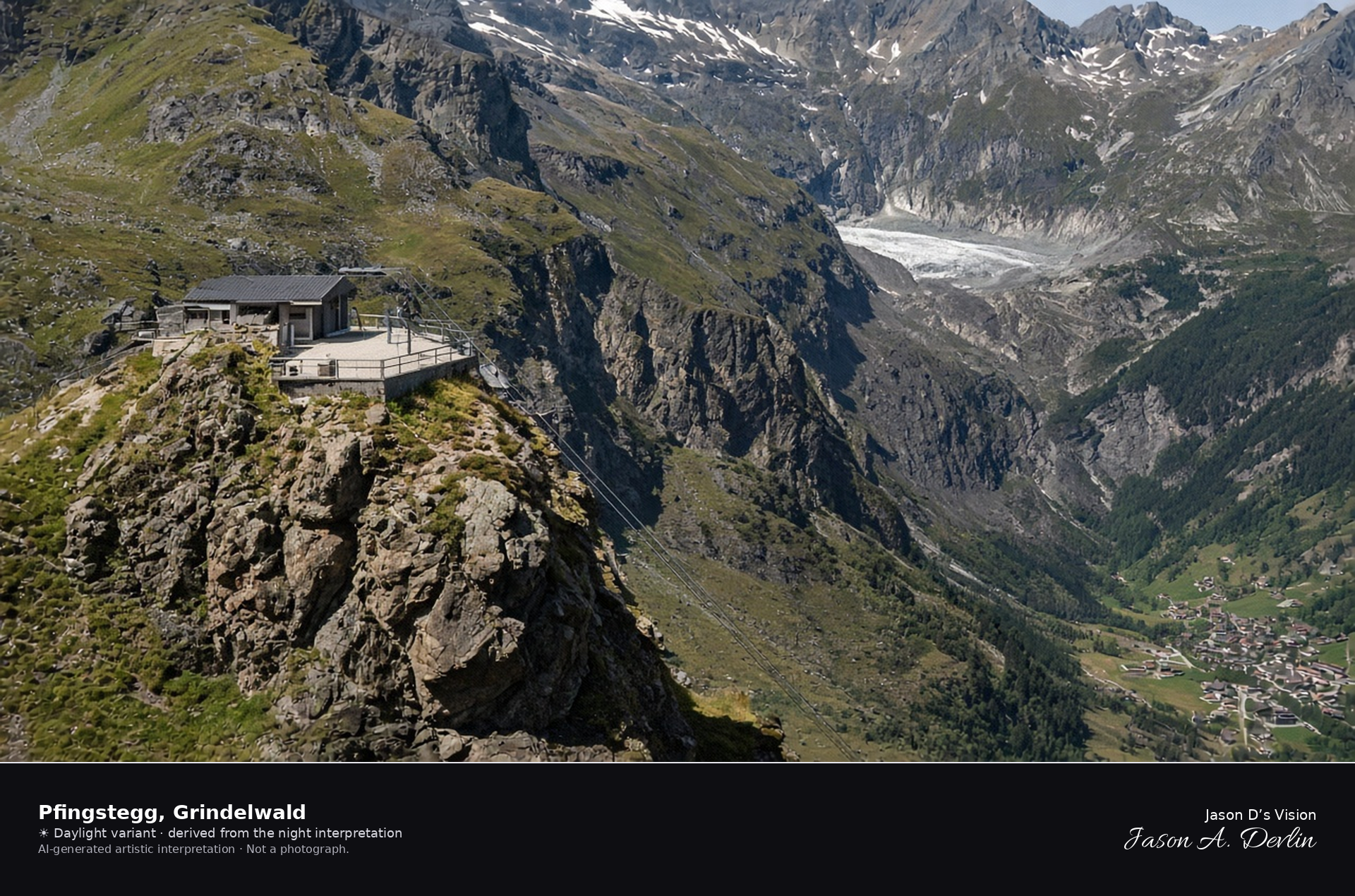
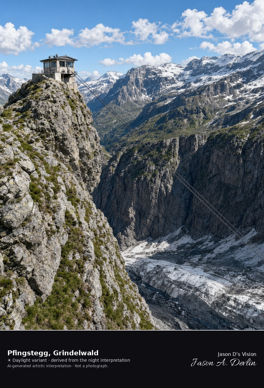
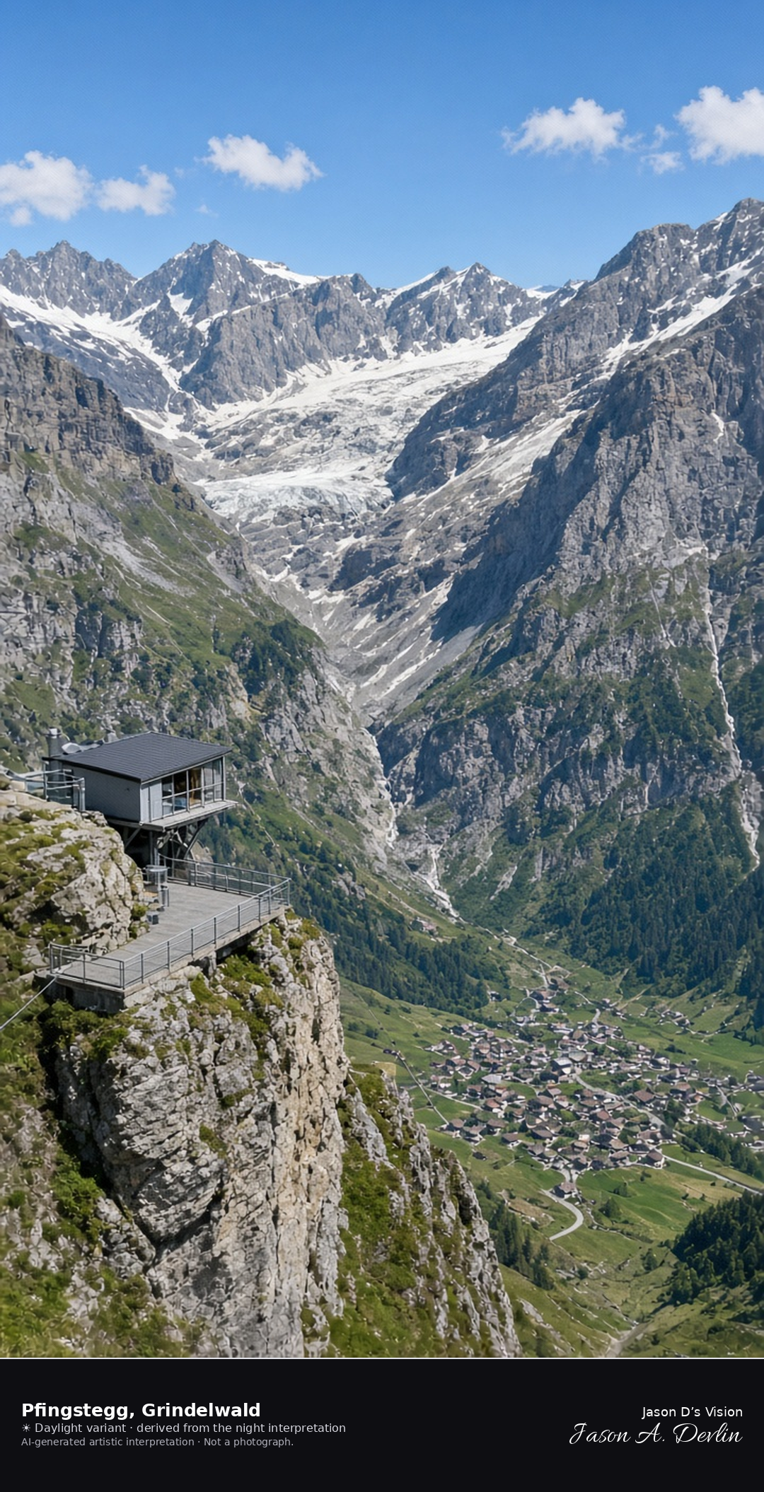
Pfingstegg cable-car terrace above the glacial valley at Grindelwald · AI-generated artistic interpretation
Pfingstegg is the small cable-car terrace on a rock spur east of Grindelwald, with the cable dropping toward the village and a dark glacial valley of rock and remnant ice behind it. It replaces an Eiger Trail viewpoint, because the north face from the valley is already a separate scene, and it is not First and not Bachalpsee. The Open-Meteo model is overcast and mild, with cloud cover near seven-tenths, a light breeze, and no precipitation, and the sun is below the horizon.
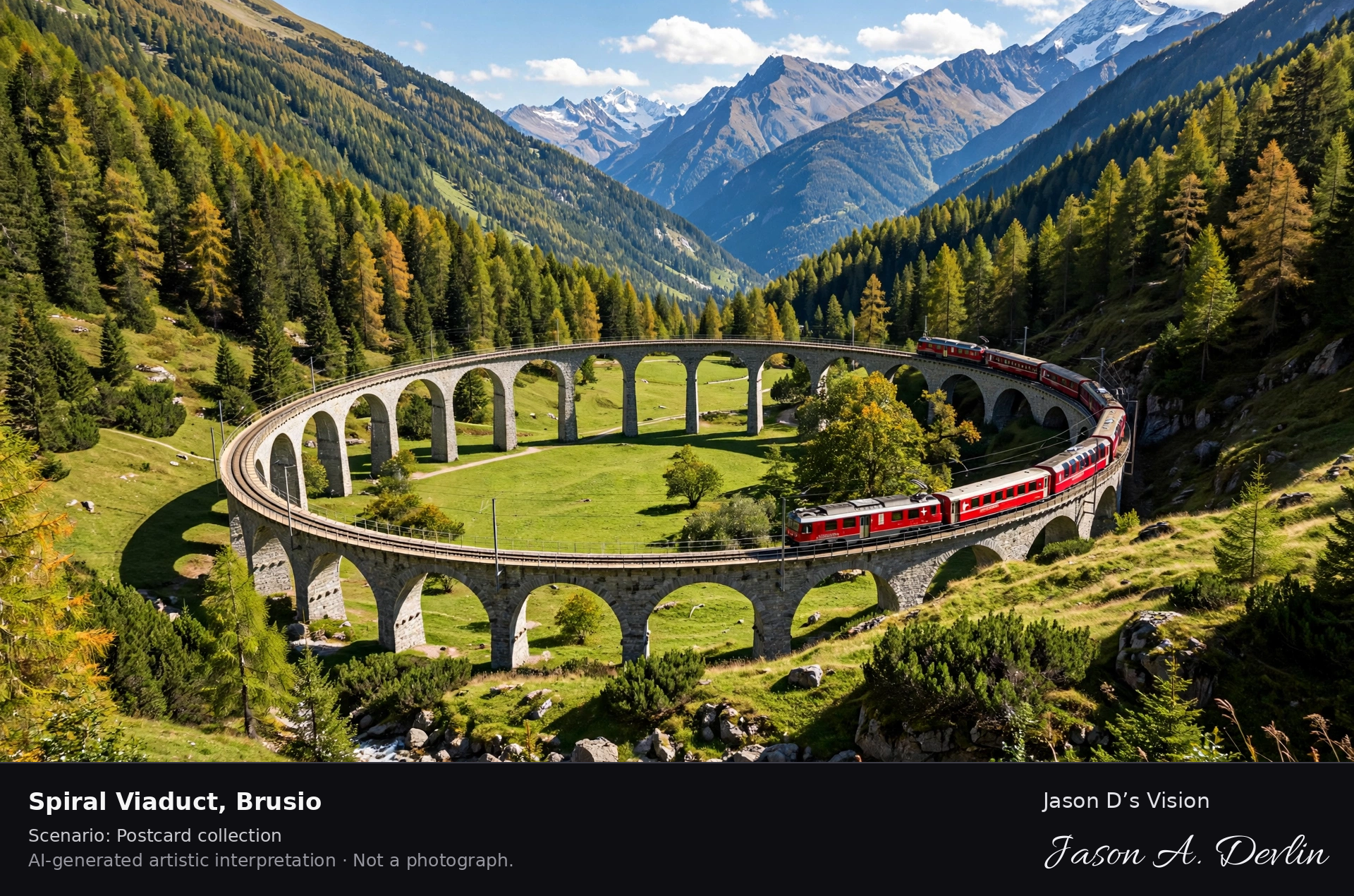
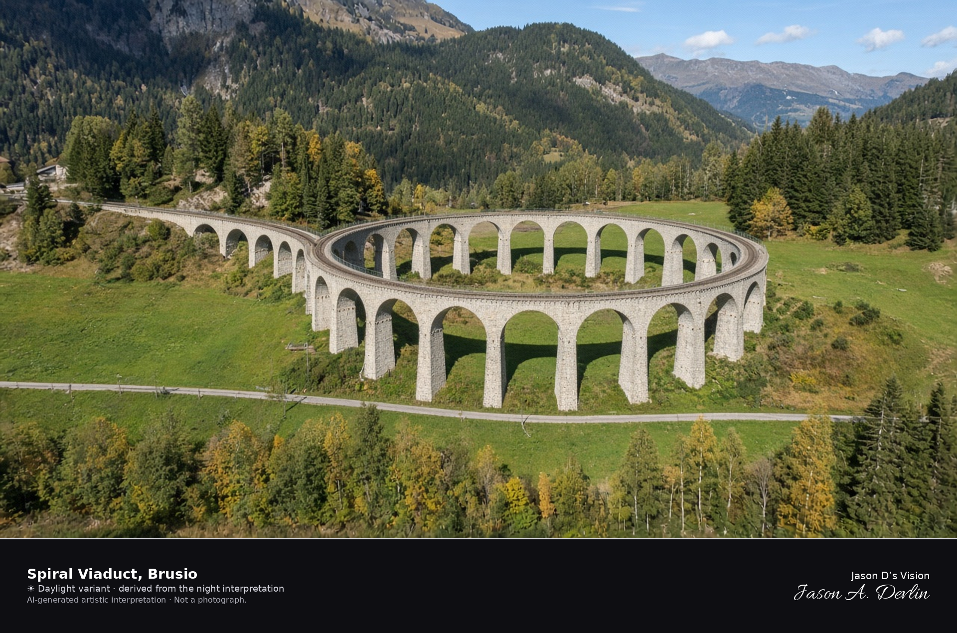
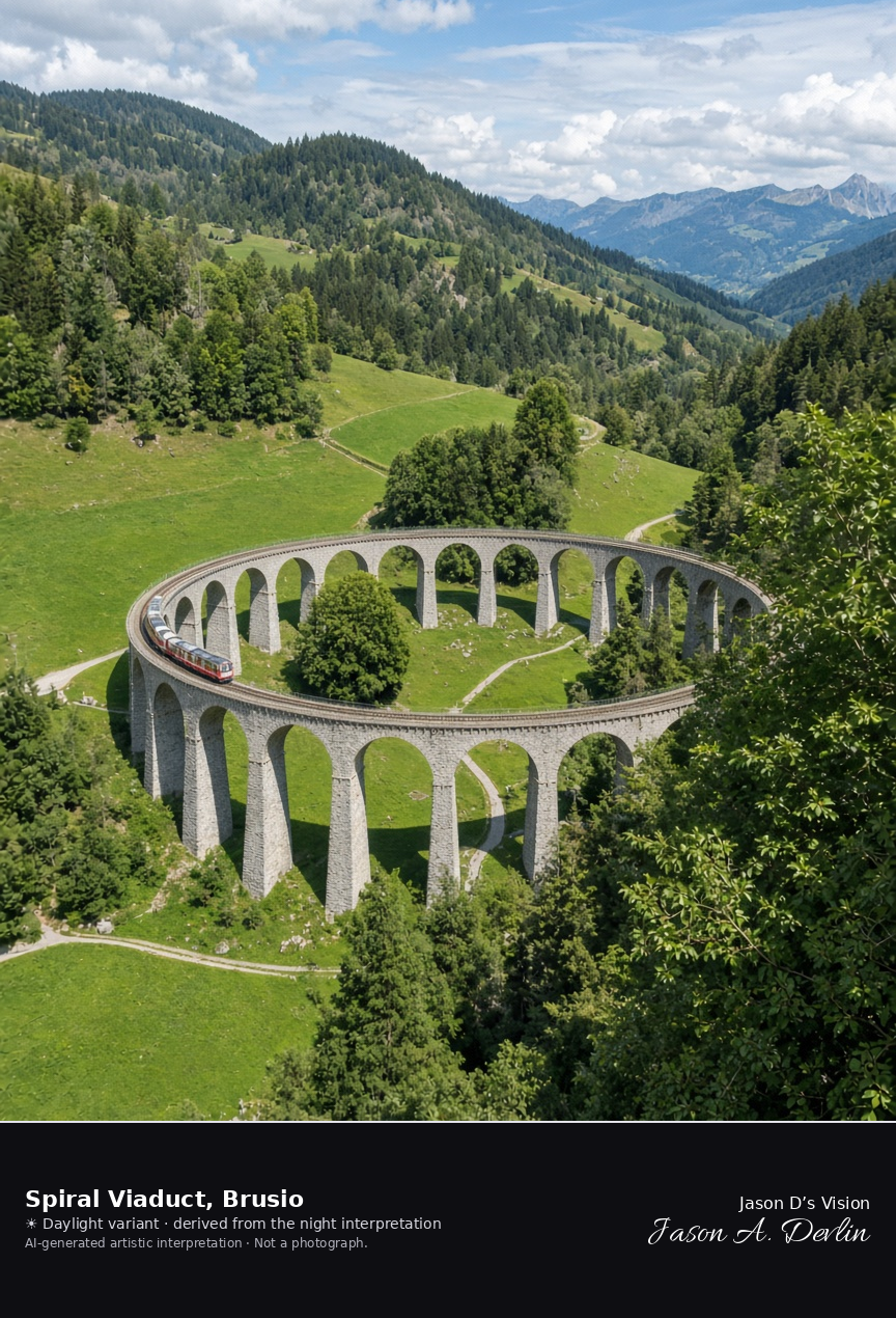
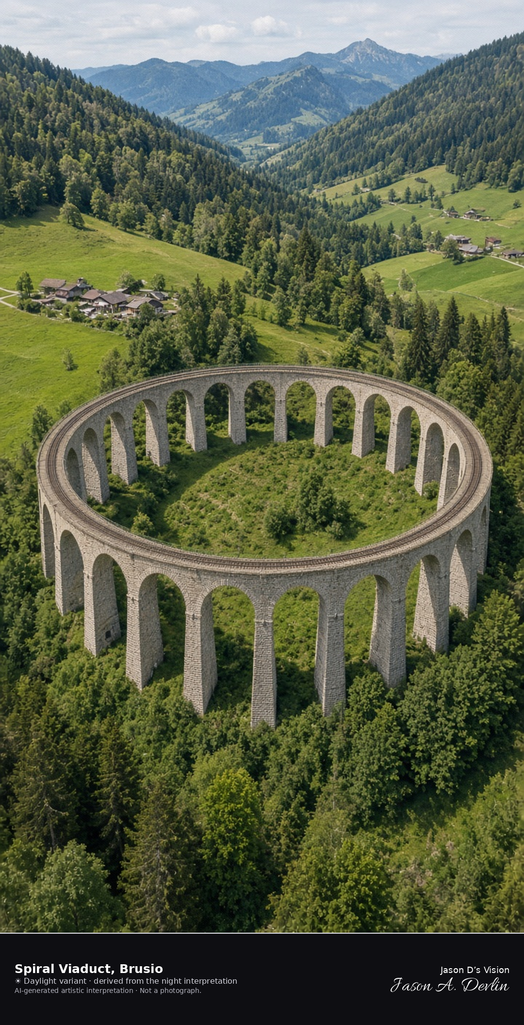
Circular stone viaduct of the Bernina line at Brusio · AI-generated artistic interpretation
The Brusio spiral viaduct is a circle of nine stone arches in the valley meadows, where the Bernina line loops to gain height. The masonry is the subject, and no train name is readable. Late-September trees are still in leaf, with no snow at this height, and this is not the Landwasser viaduct. The Open-Meteo weather code is partly cloudy, with cloud cover about five-sixths, a breeze, and no precipitation, and the sun is below the horizon.
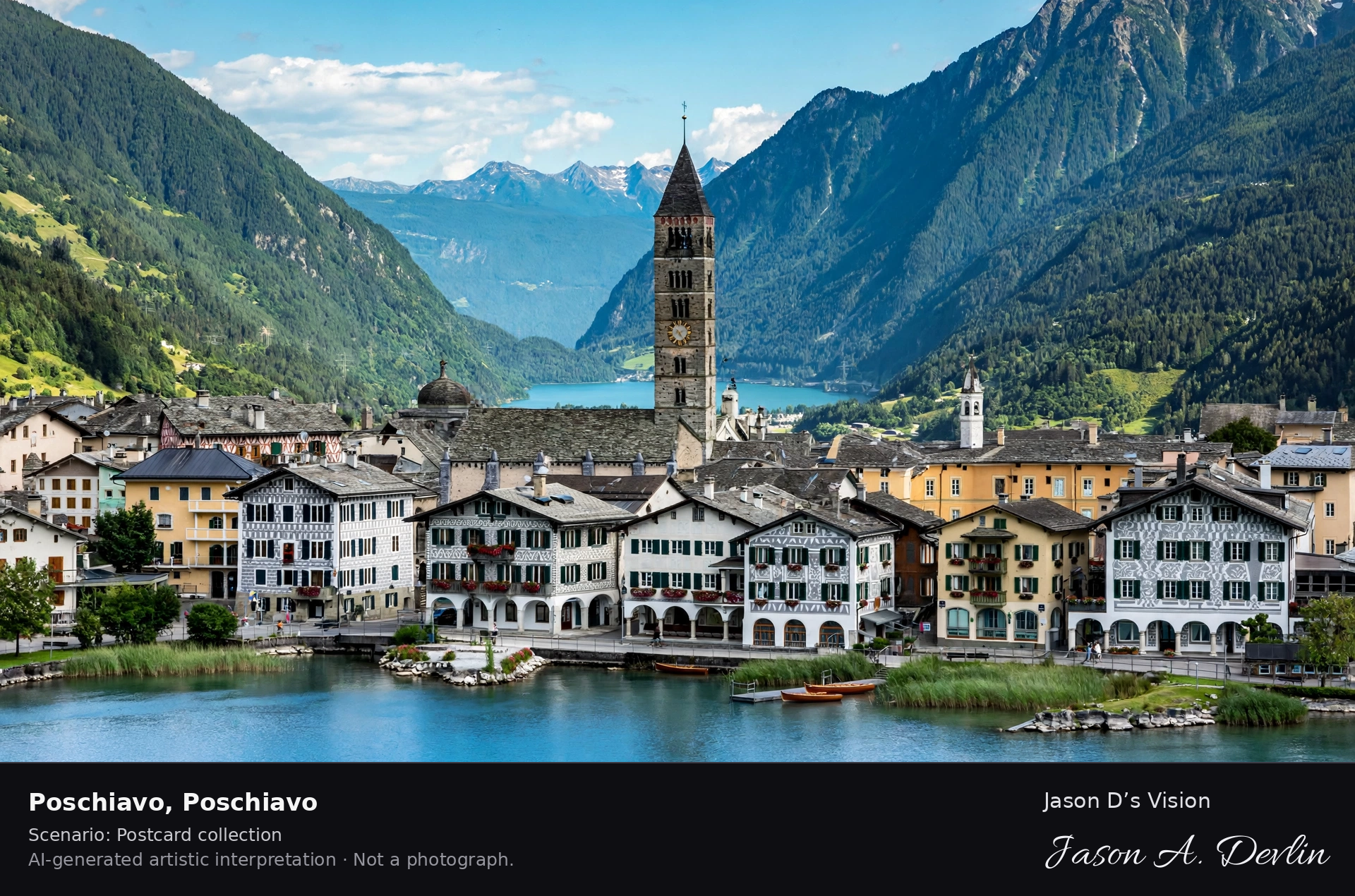
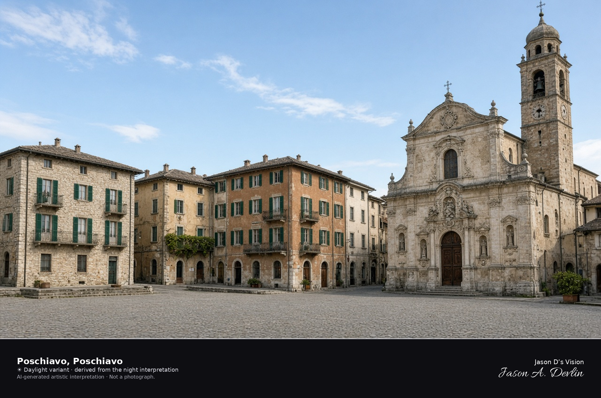
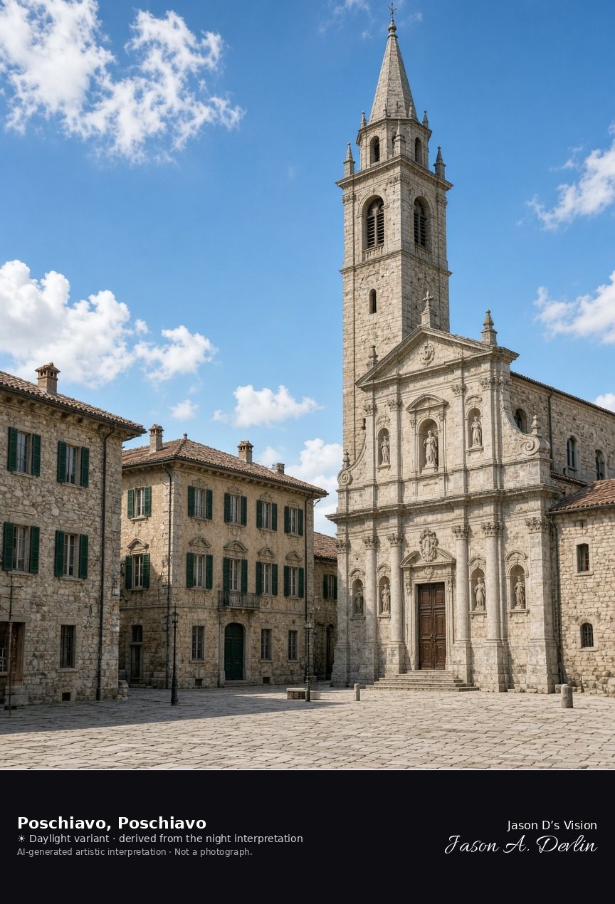
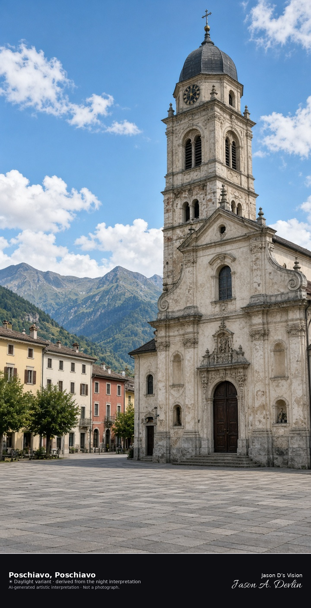
Village square and collegiate church of San Vittore in Poschiavo · AI-generated artistic interpretation
Poschiavo’s village square is lined with Italianate palazzi and closed by the collegiate church of San Vittore, with its baroque facade and bell tower. This is the valley town, not Lago Bianco on the Bernina, and Tirano, beyond the Italian border, is not used. No shop name is readable. The Open-Meteo weather code is mainly clear, with cloud cover about three-quarters, a breeze, and no precipitation, and the sun is below the horizon.
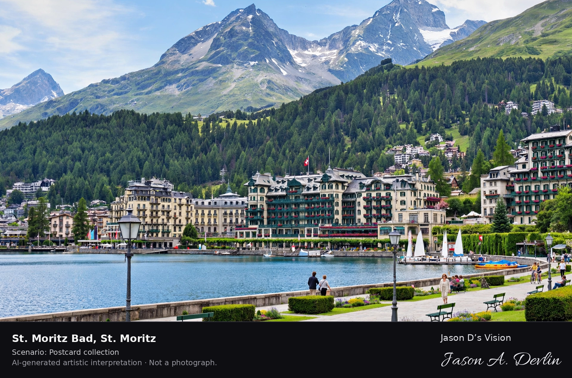
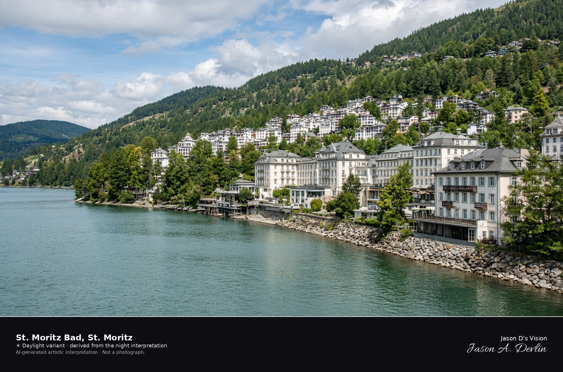
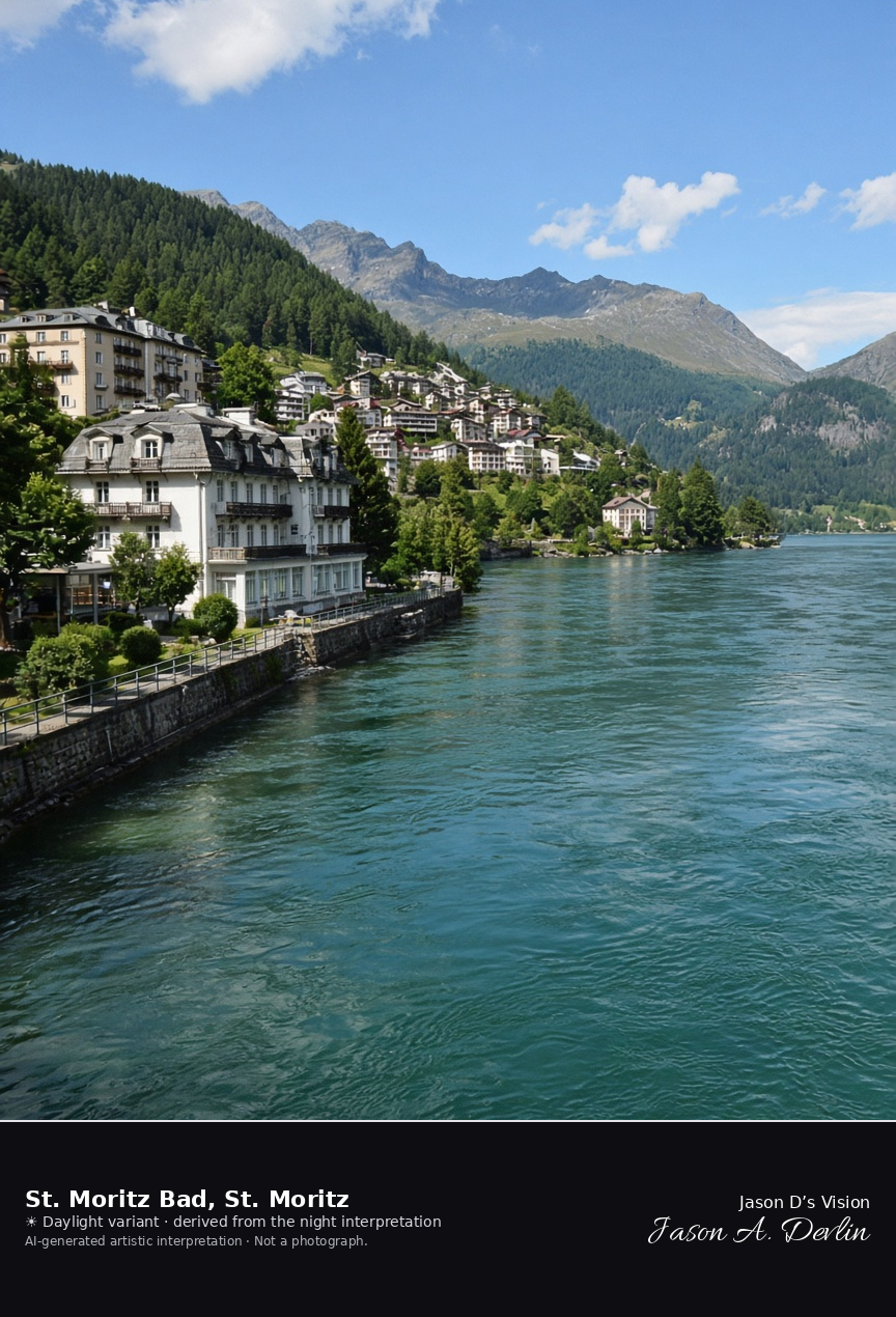
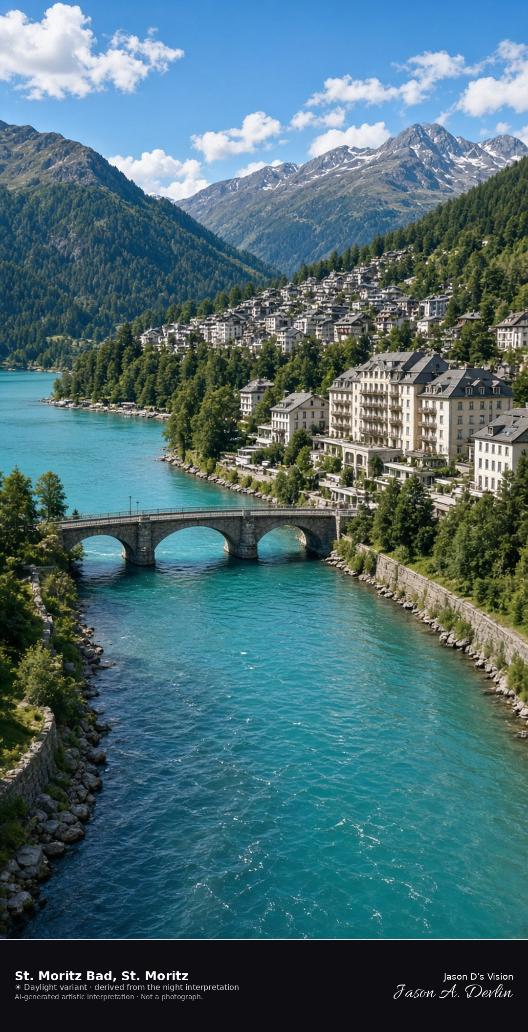
St. Moritz Bad at the outlet of Lake St. Moritz · AI-generated artistic interpretation
St. Moritz Bad is the lower quarter at the southwest end of Lake St. Moritz, where the Inn leaves the lake, and the frame stays on that shore rather than the open-lake view already published. Spa hotels line the water without readable names, and the lights of St. Moritz Dorf sit on the slope above. The Open-Meteo weather code is mainly clear, with cloud cover about a third, a cool breeze, and no precipitation, and the sun is below the horizon.
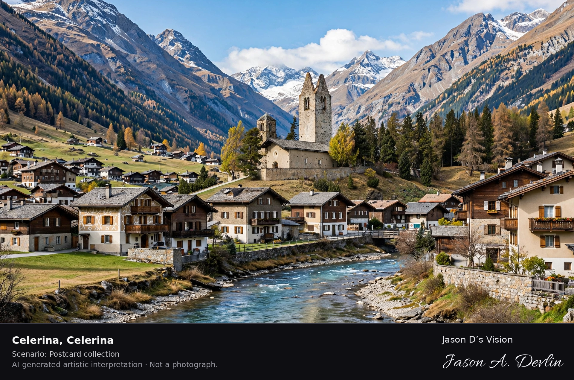
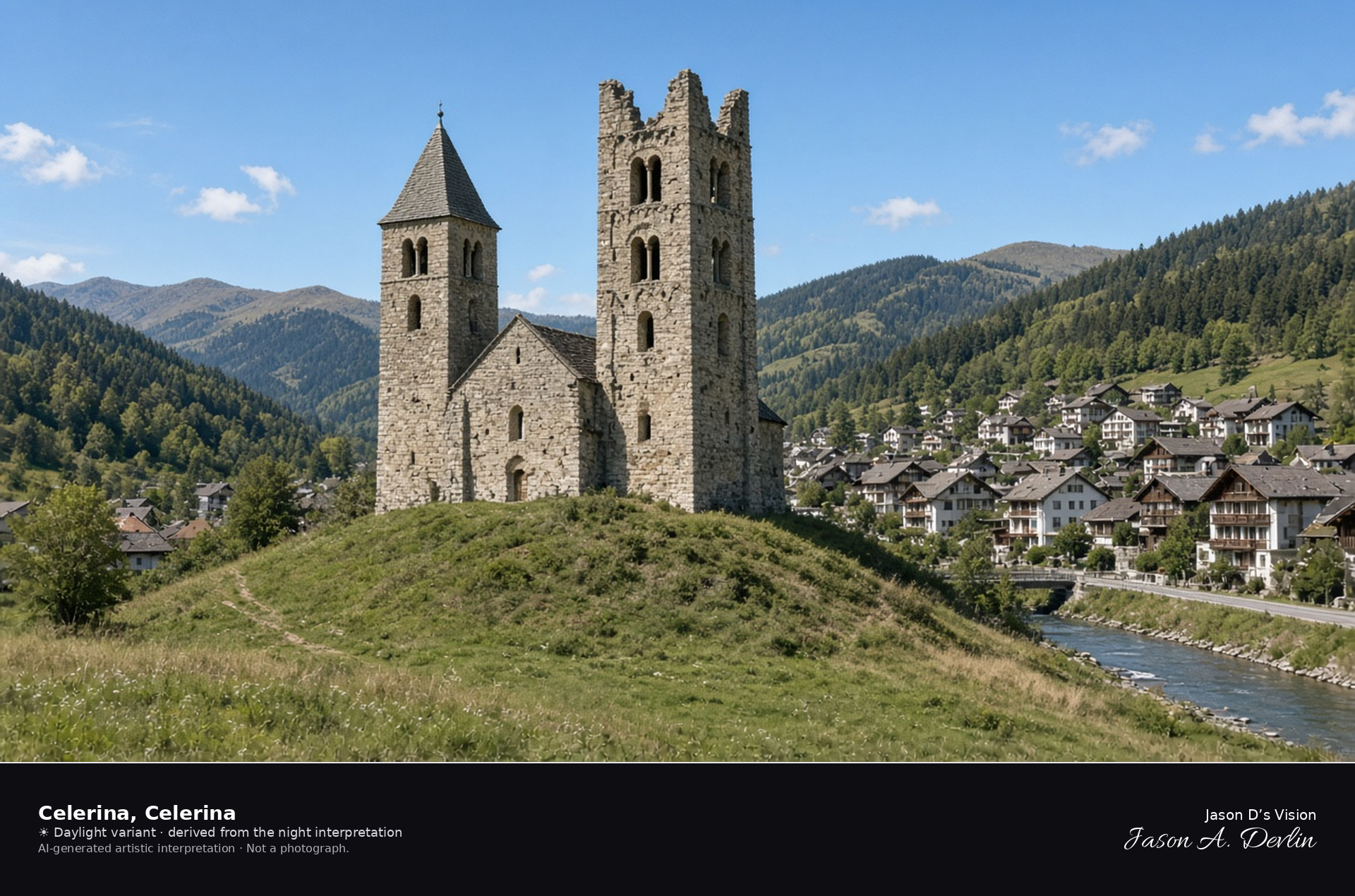
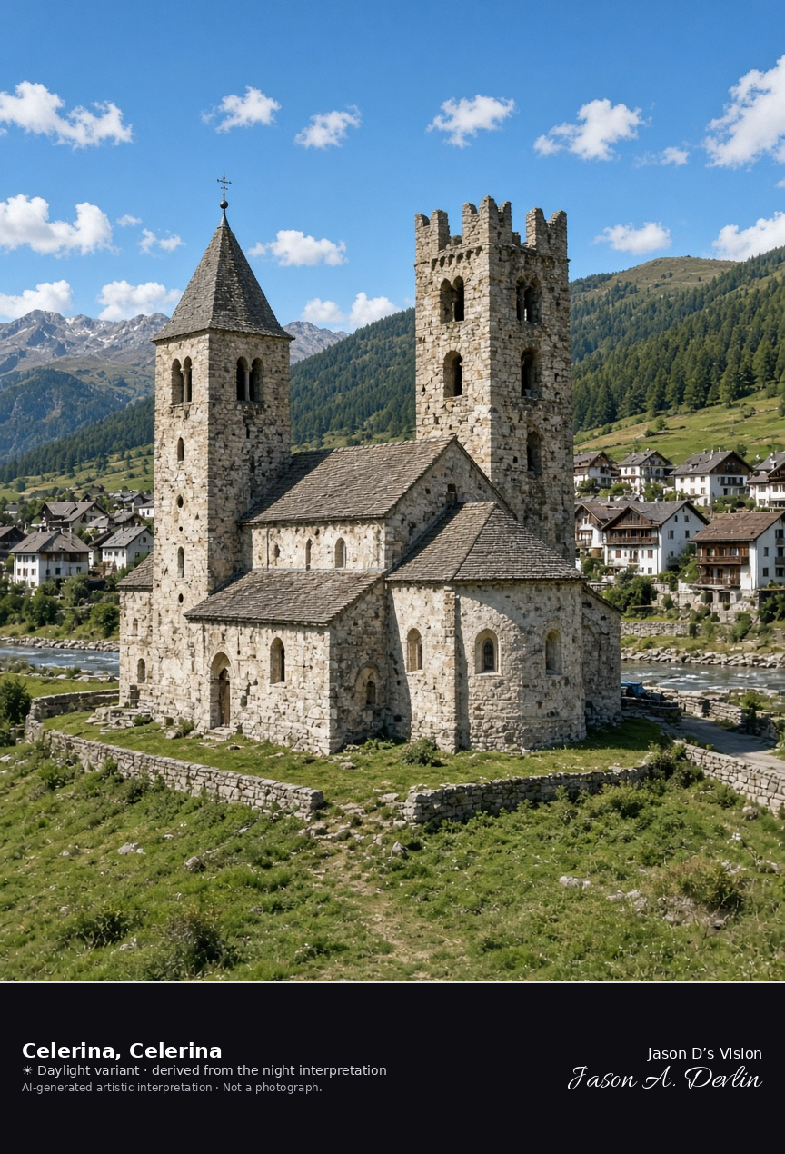
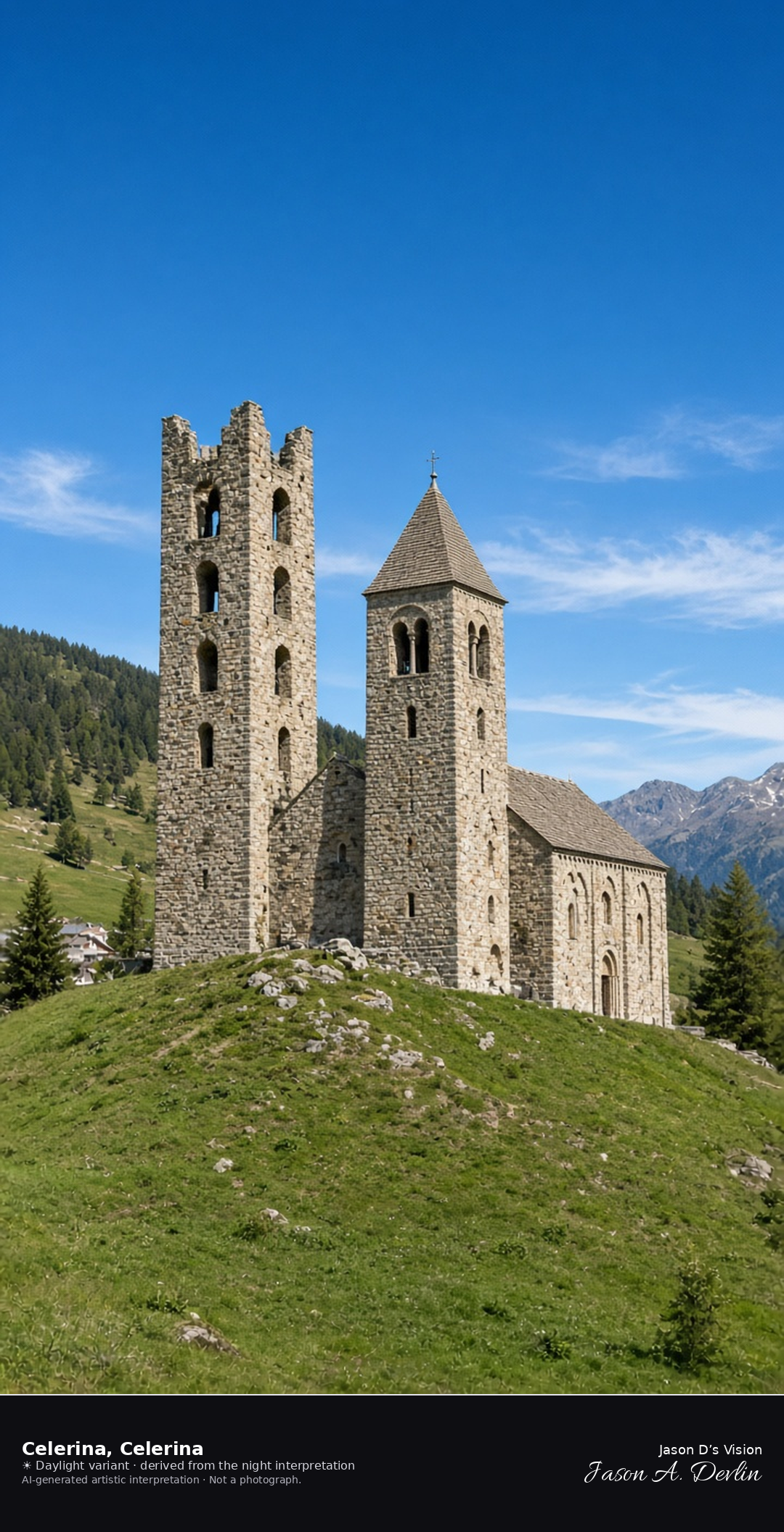
San Gian and the village of Celerina in the Inn plain · AI-generated artistic interpretation
The church of San Gian stands on a low hill in the Inn plain, its larger tower still roofless after the lightning of 1682, with the historic houses of Celerina beyond the river. This is the valley village, not Lake St. Moritz and not the Cresta Run. The Open-Meteo weather code is mainly clear, with almost no cloud, a cool breeze, and no precipitation, and the sun is below the horizon.
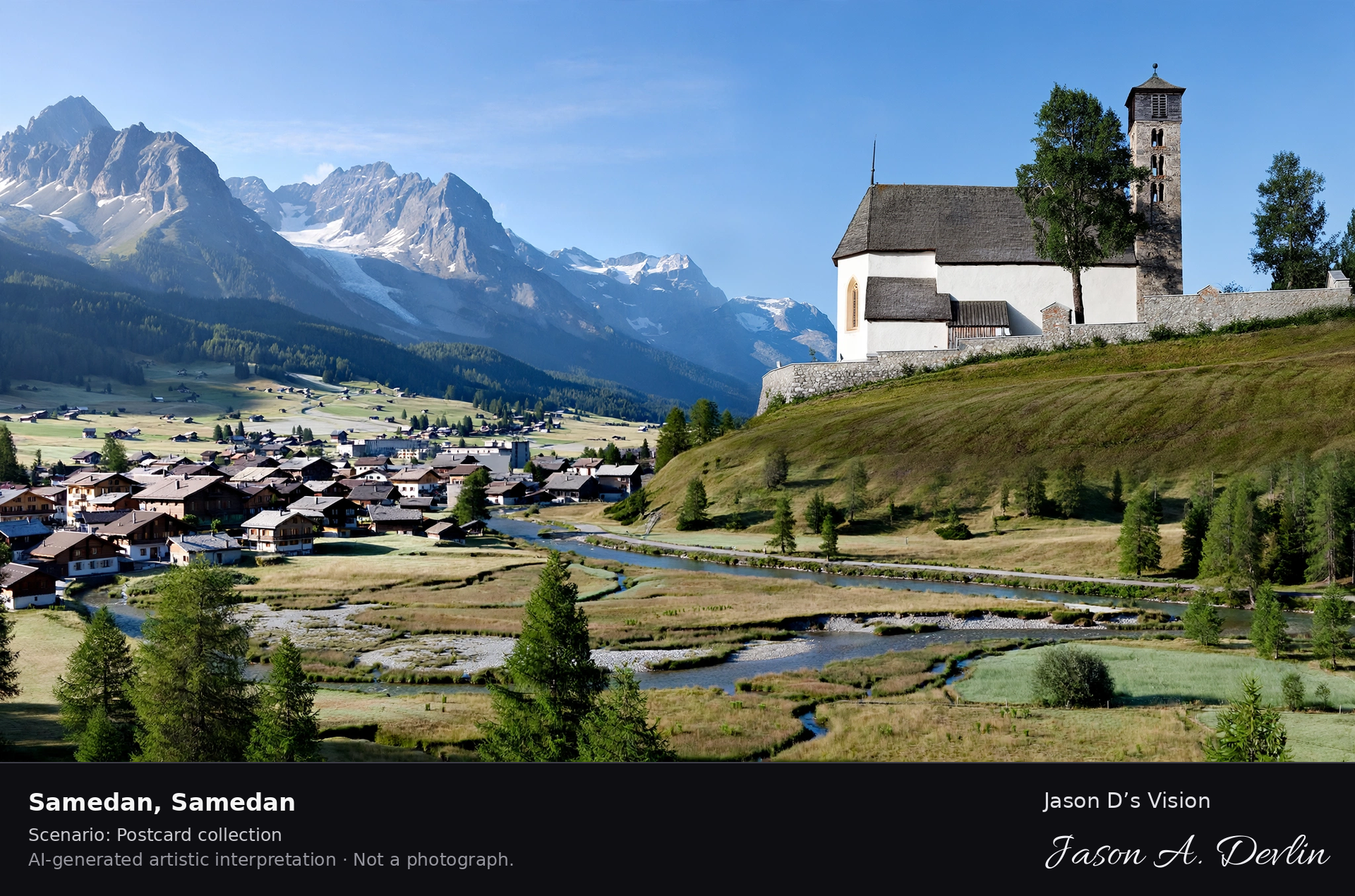
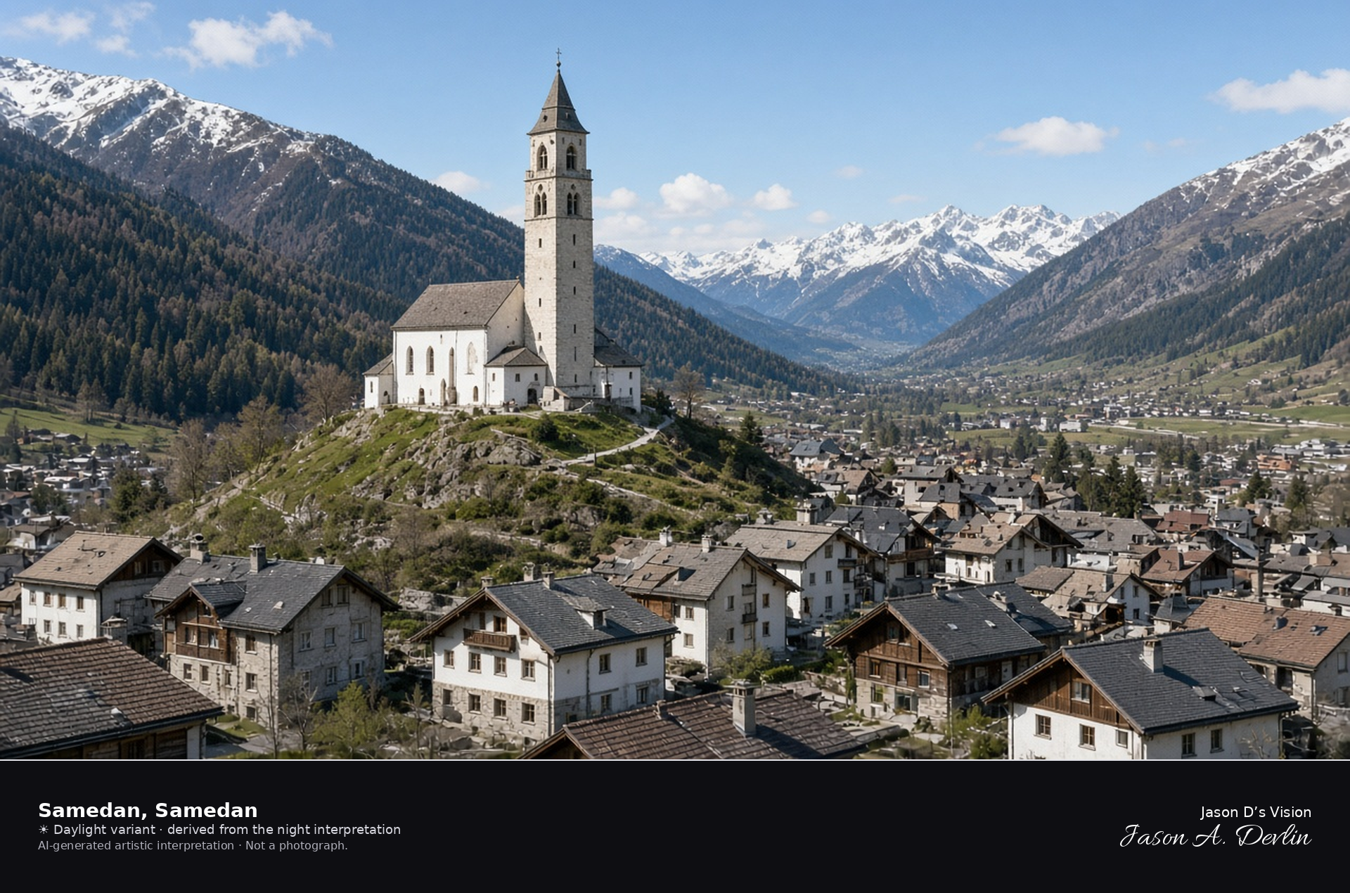
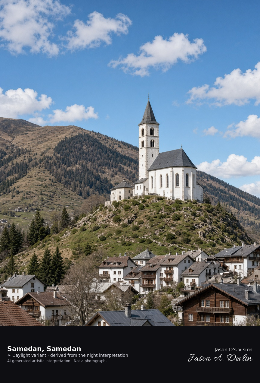
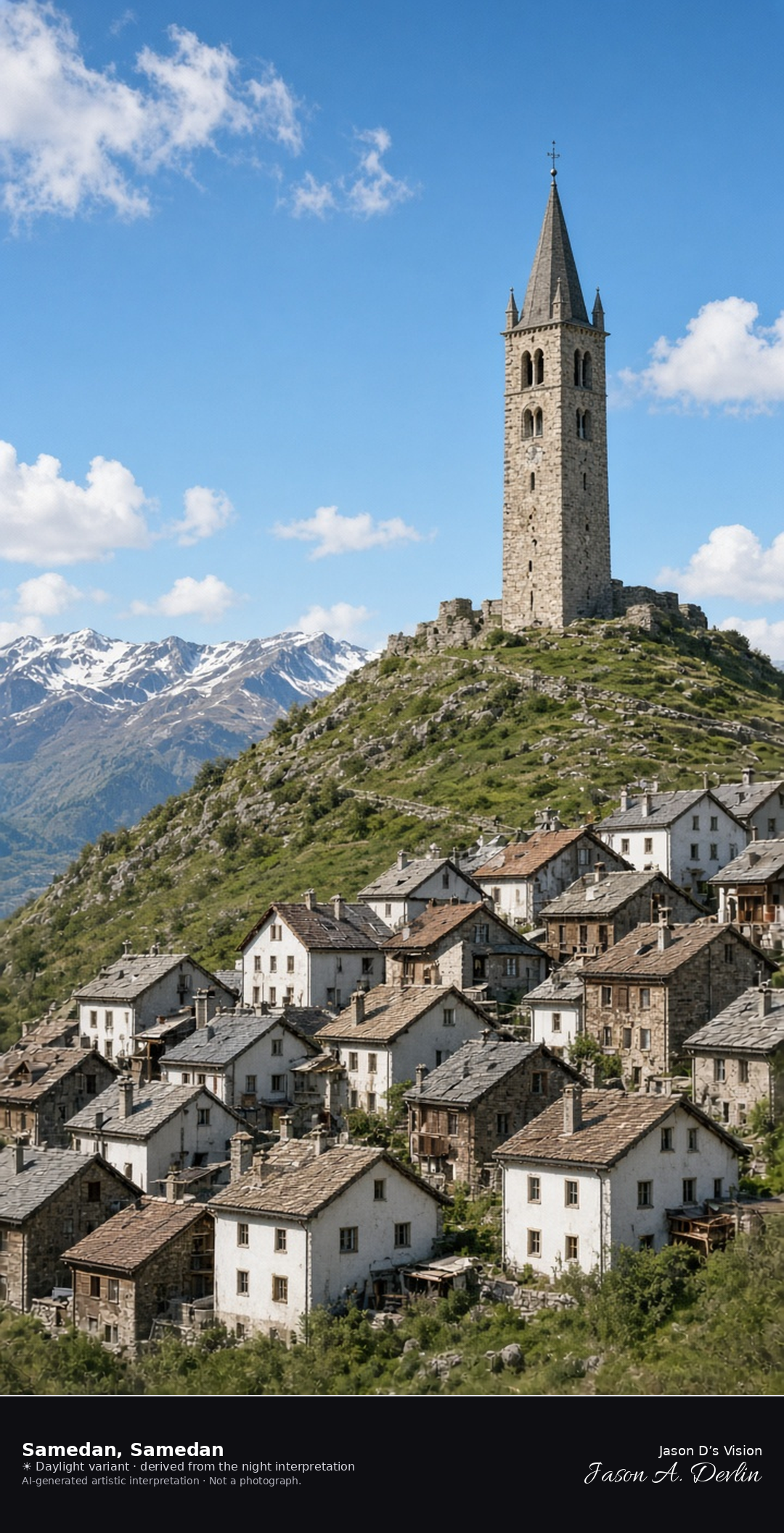
Church of San Peter above the town of Samedan · AI-generated artistic interpretation
The church of San Peter stands on the hill above Samedan, with the Engadin houses of the town below and the valley dark beyond. The airport is not in the frame, and no house name is readable. The Open-Meteo weather code is mainly clear, the sky is clear, the air is cool and windy, there is no precipitation, and the sun is below the horizon.
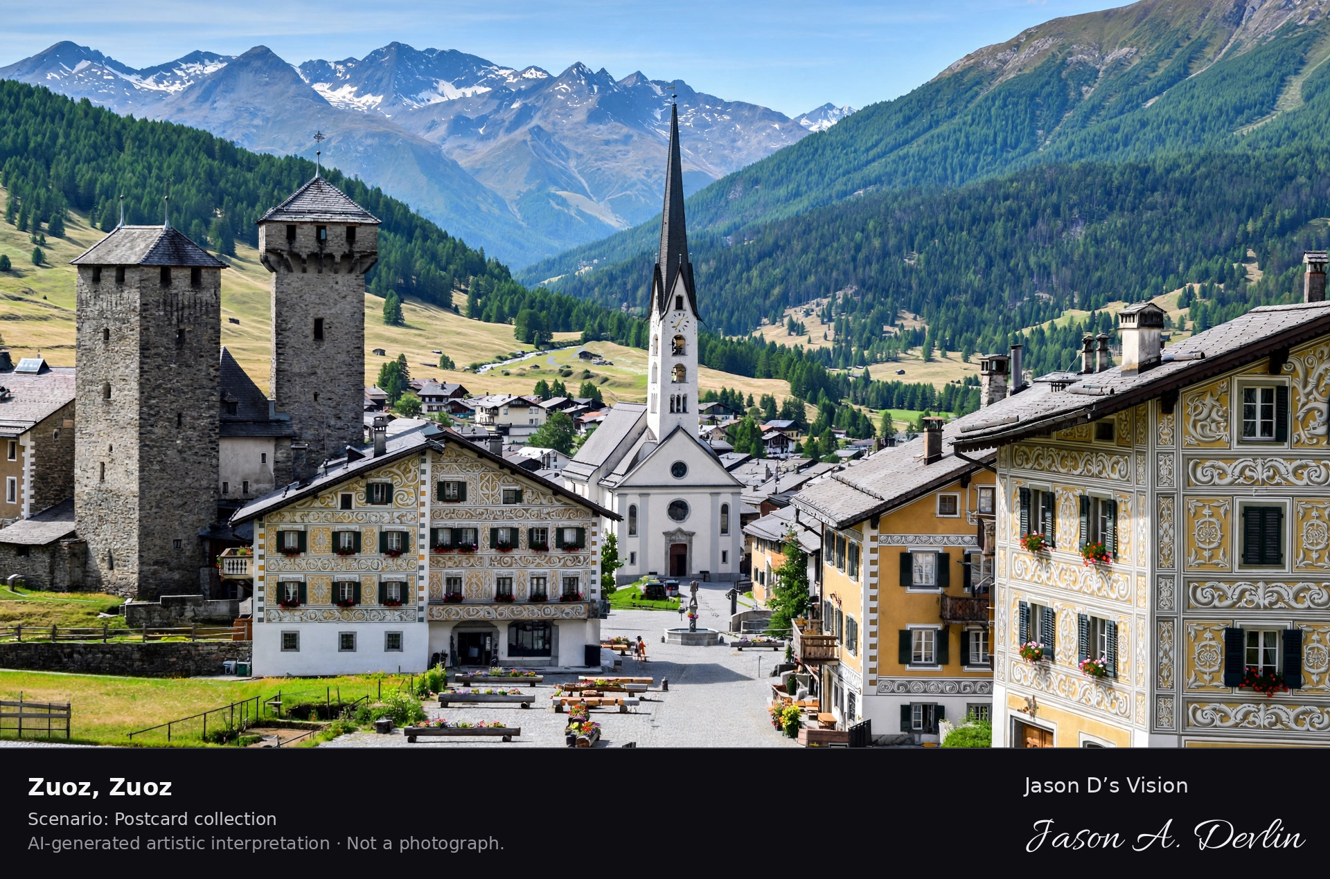
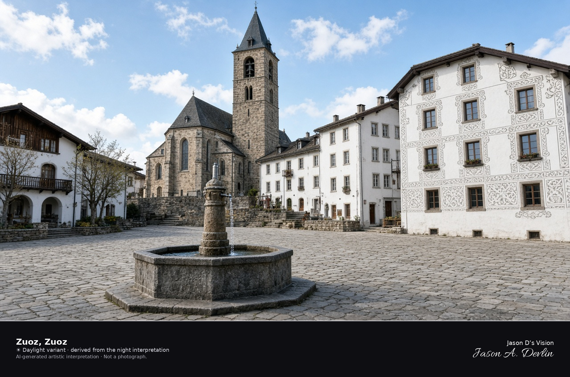
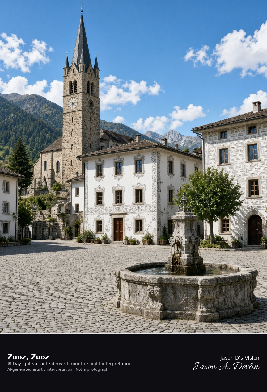
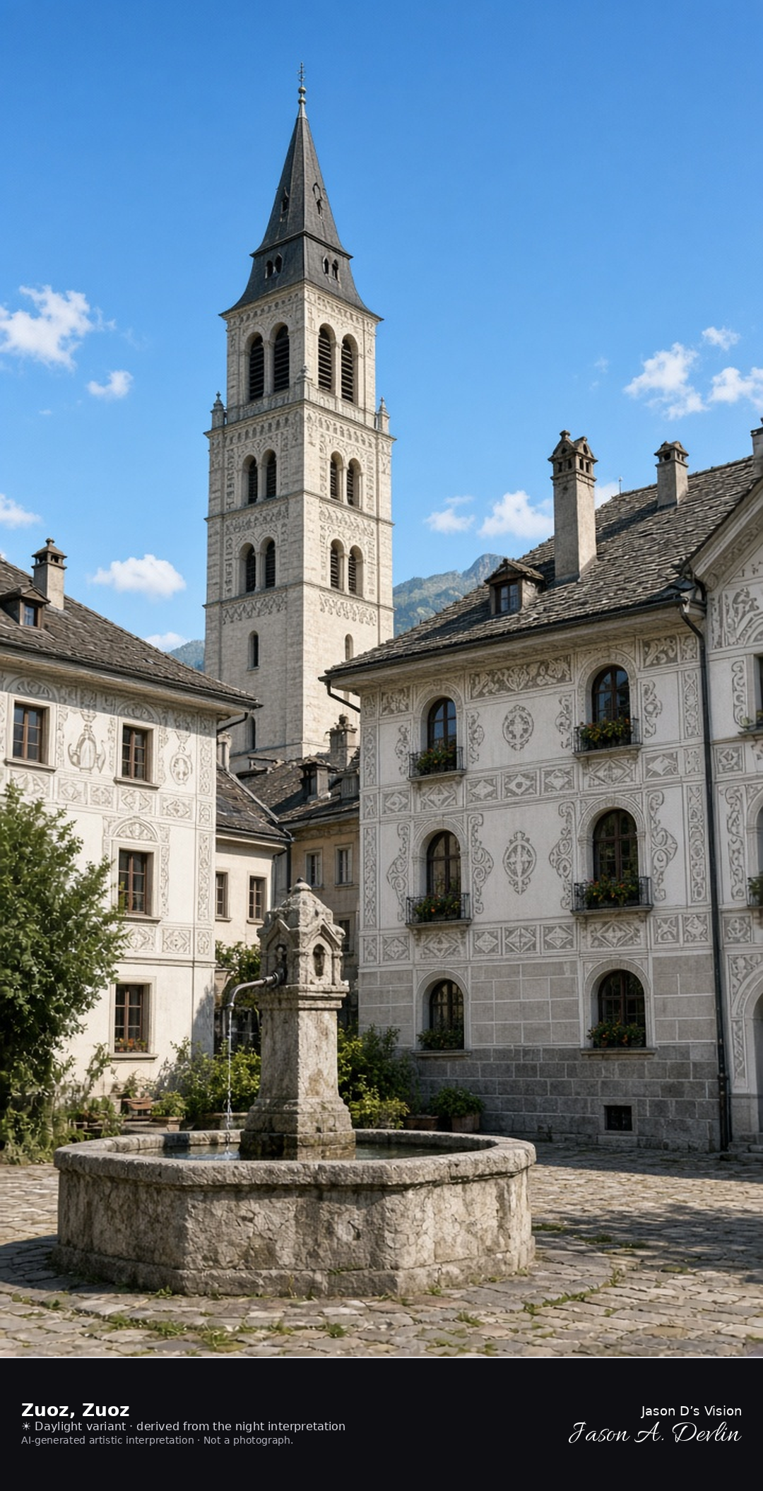
Village square and church of San Luzi in Zuoz · AI-generated artistic interpretation
Zuoz’s wide village square holds a stone fountain and closes on the church of San Luzi, whose tall tower rises over sgraffito houses. No inn name is readable. The Open-Meteo weather code is partly cloudy, with cloud cover about half, a cool breeze, and no precipitation, and the sun is below the horizon.
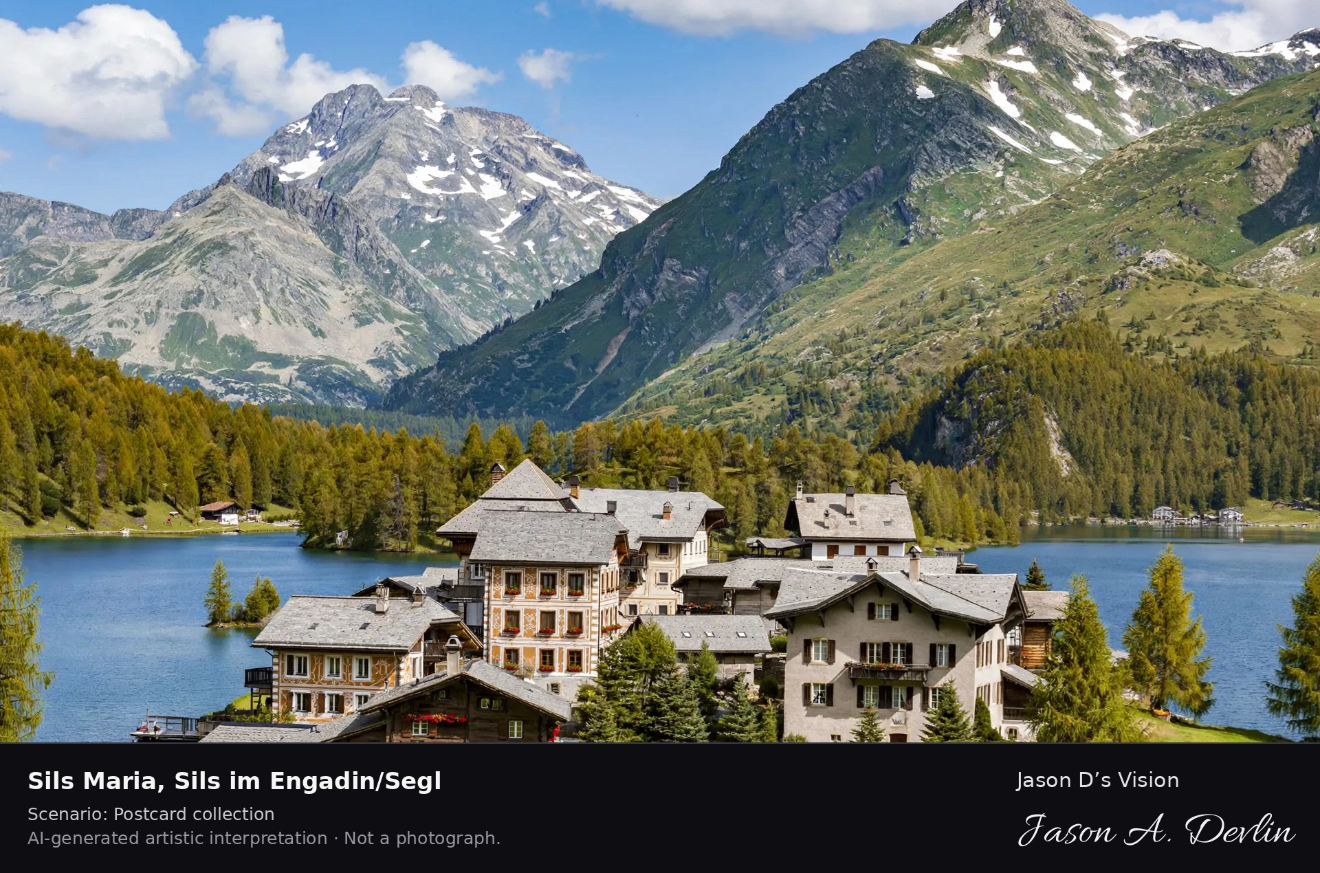
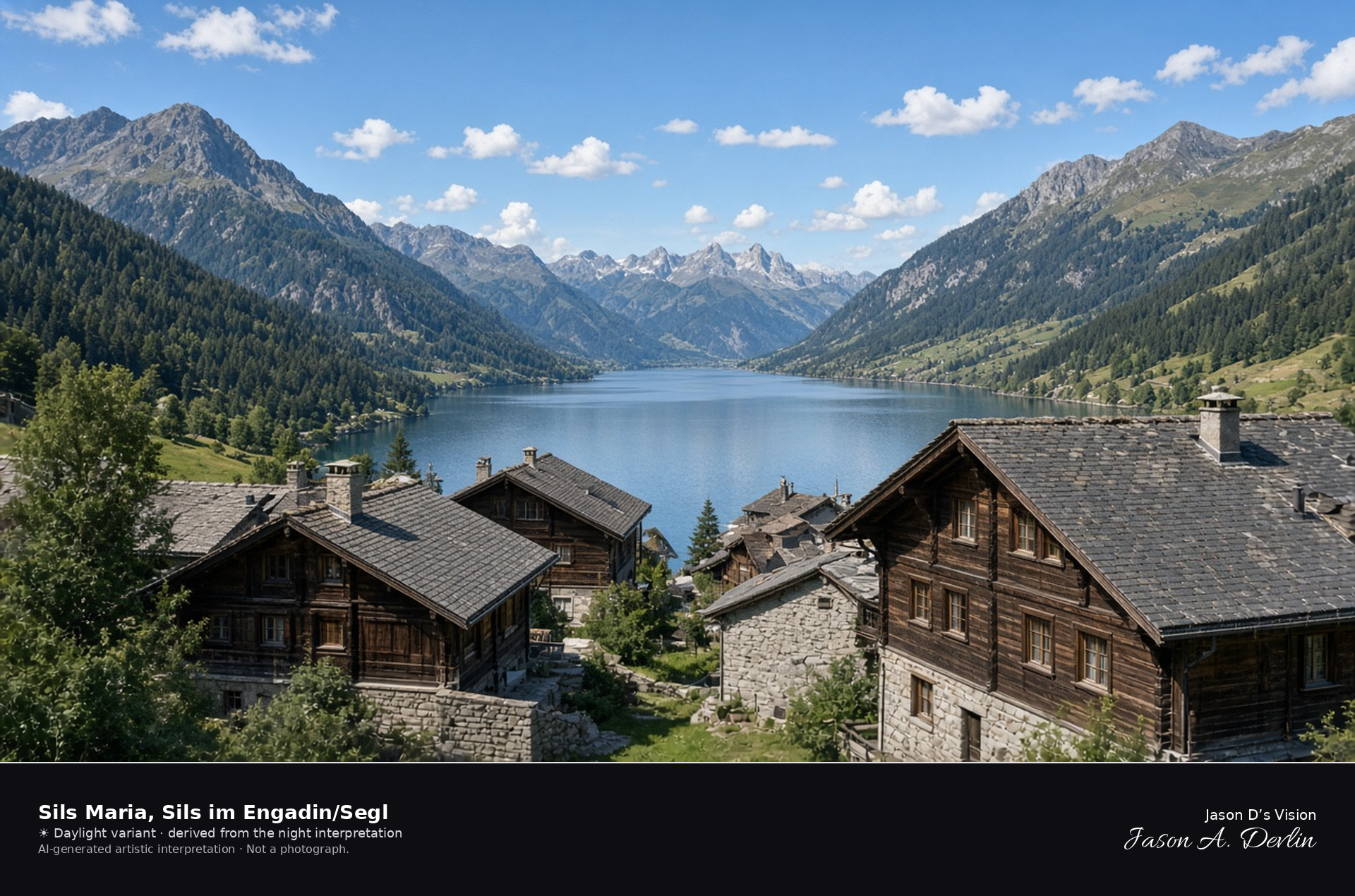
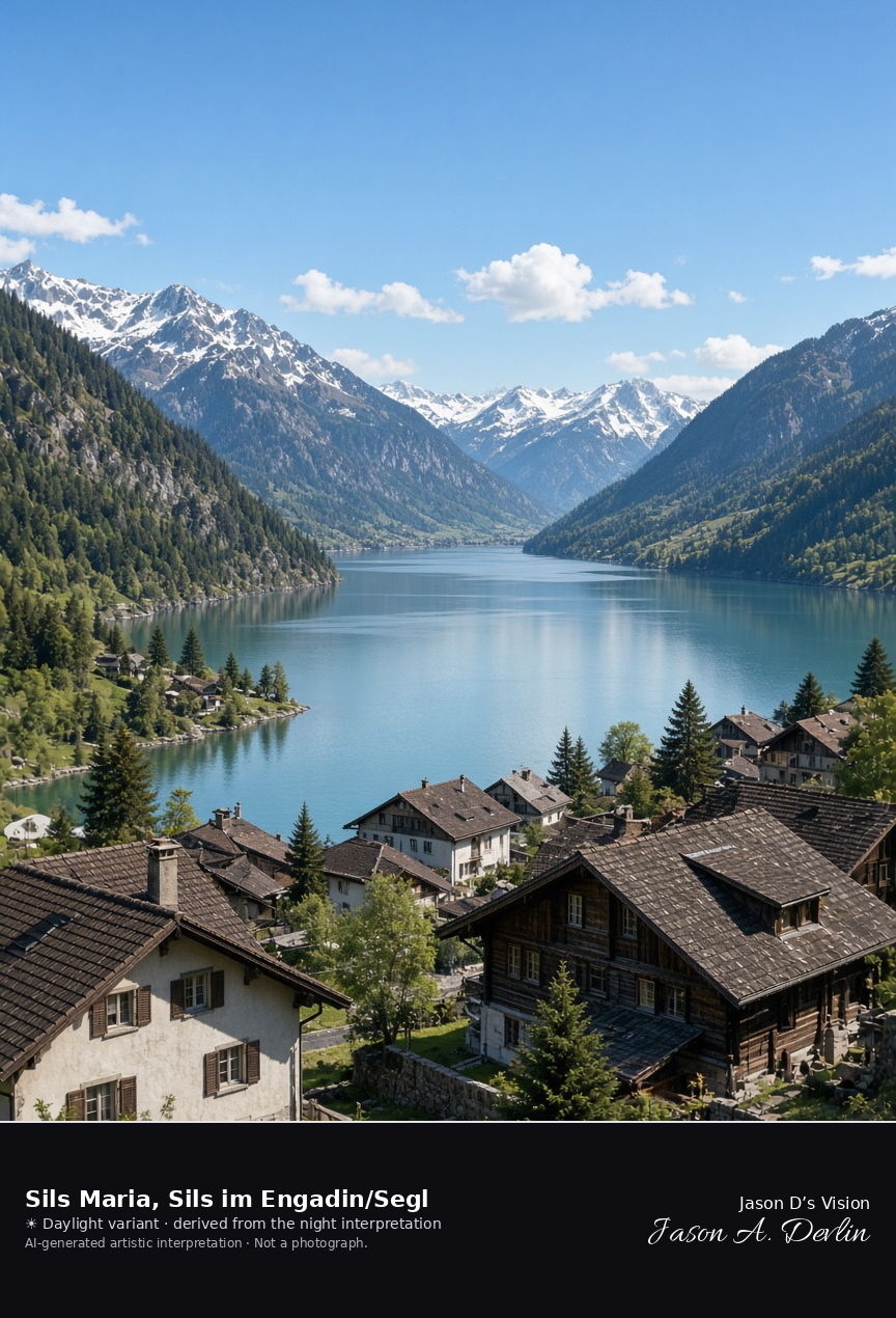
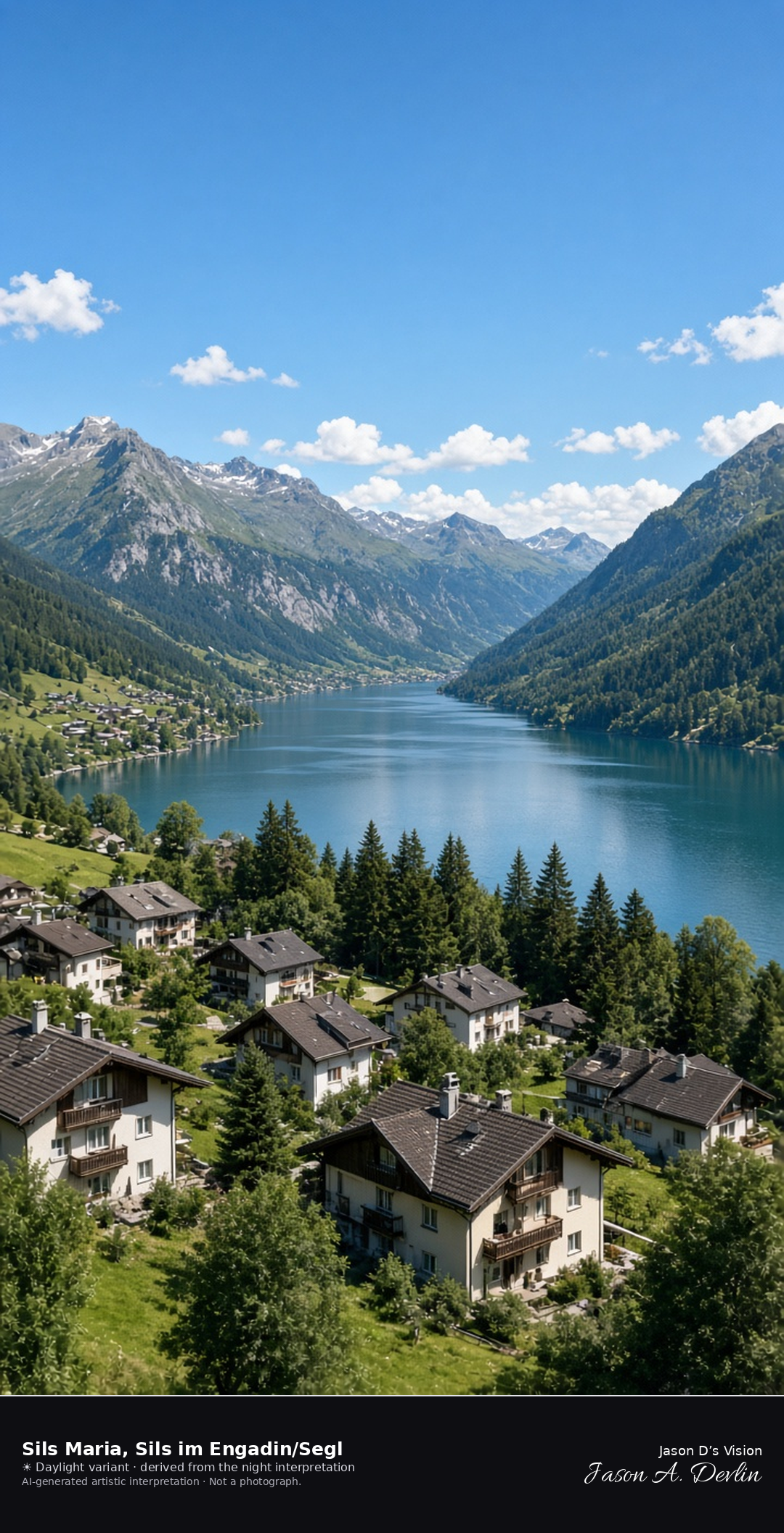
Sils Maria at the mouth of the Val Fex, toward Lake Sils · AI-generated artistic interpretation
Sils Maria is the village at the mouth of the Val Fex, in the municipality of Sils im Engadin/Segl, and the frame looks from its houses toward Lake Sils. It is not Sils Baselgia, not Lake Silvaplana, and not Sils im Domleschg. No hotel name is readable. The Open-Meteo weather code is clear, the sky is clear, the air is cool and nearly calm, there is no precipitation, and the sun is below the horizon.
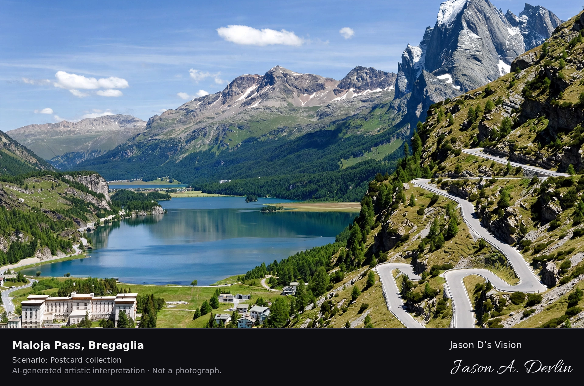
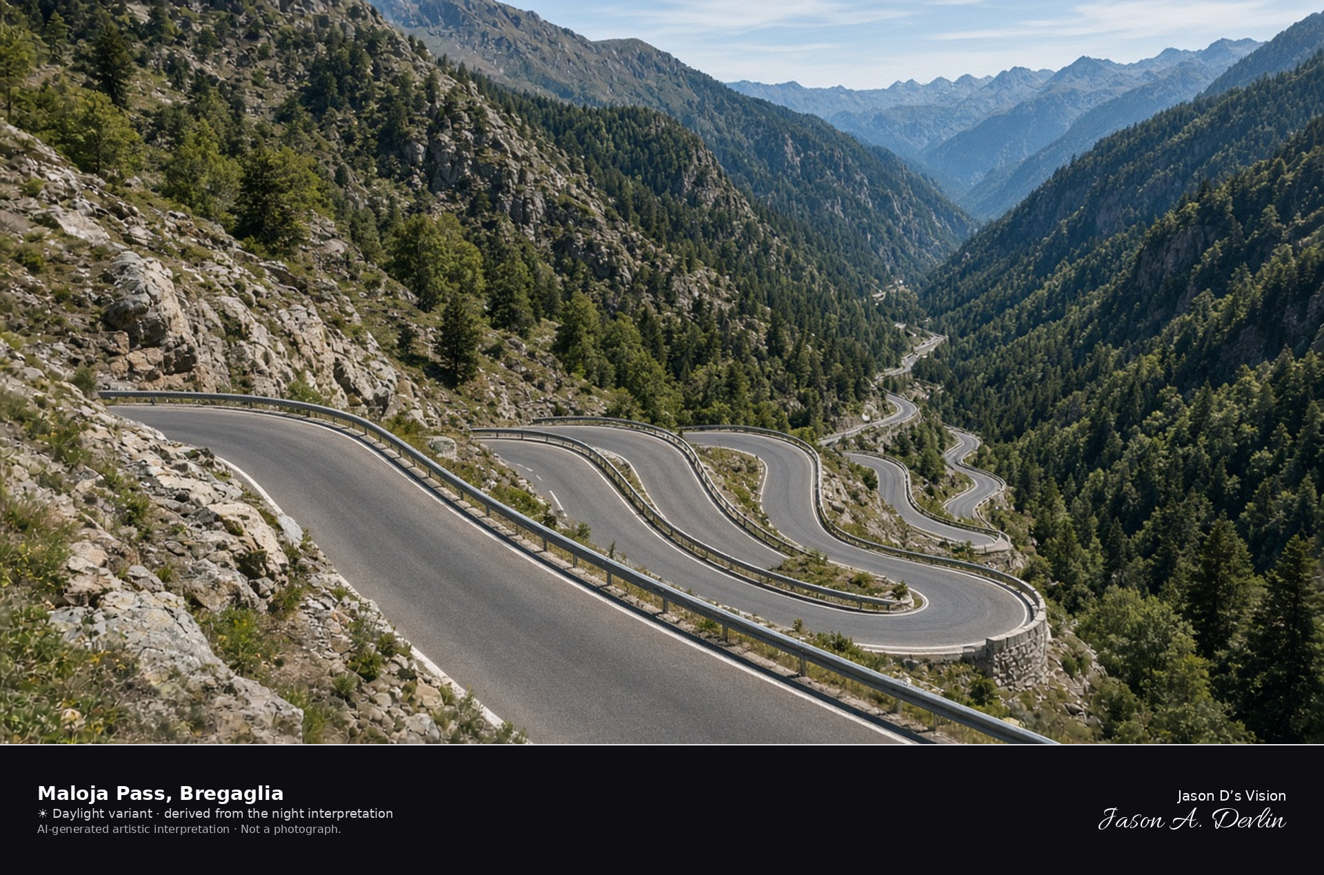
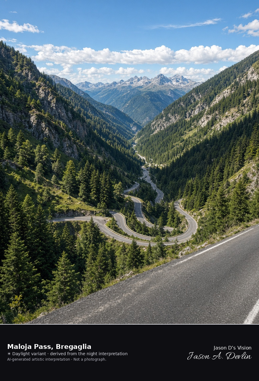
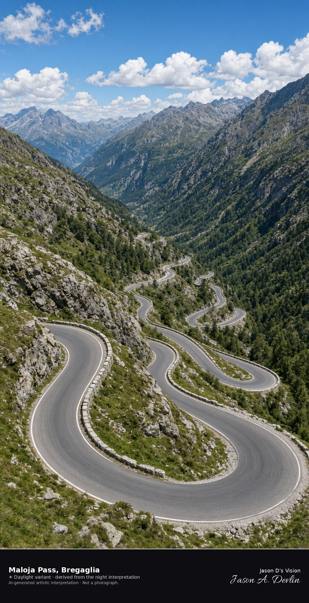
Maloja Pass looking west down the hairpins into Val Bregaglia · AI-generated artistic interpretation
The Maloja Pass is the saddle where the road drops west in hairpins into Val Bregaglia, and the frame is that drop rather than the Engadin lakes. Maloja came into the municipality of Bregaglia with Stampa in 2010, and Chiavenna, over the Italian border, is not used. The Open-Meteo model is clear and cool, with a light breeze and no precipitation, and the sun is below the horizon.
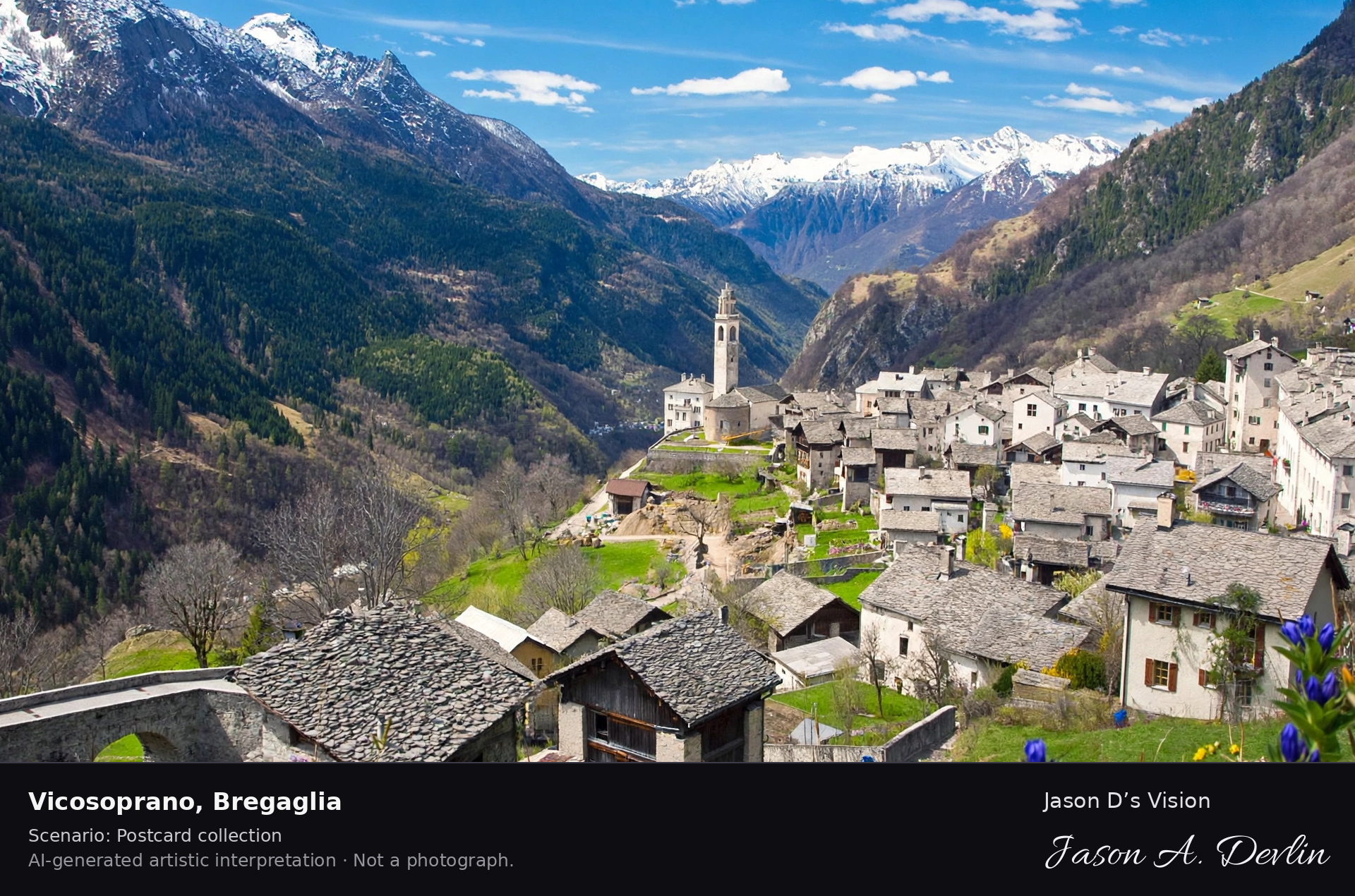
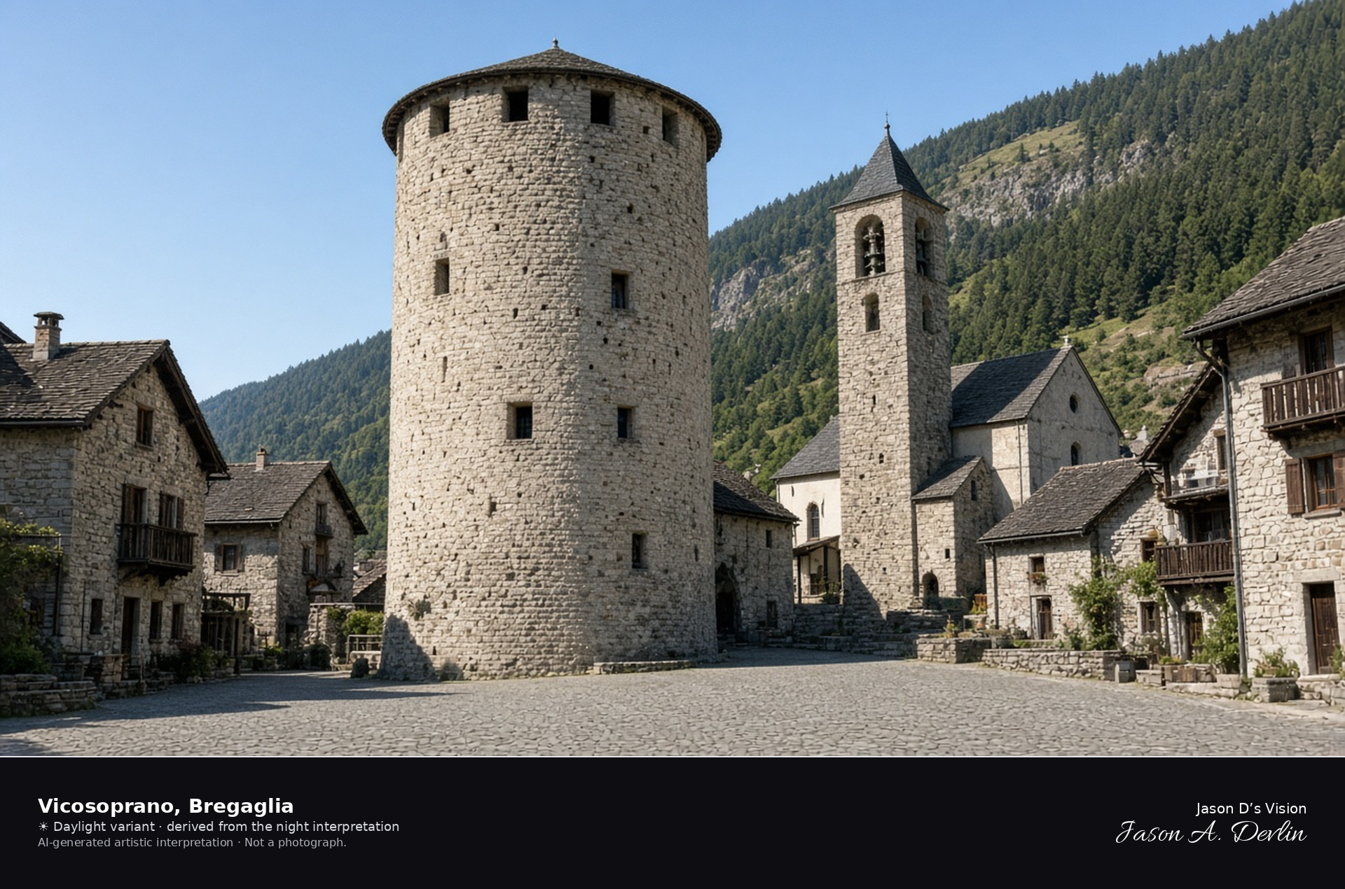
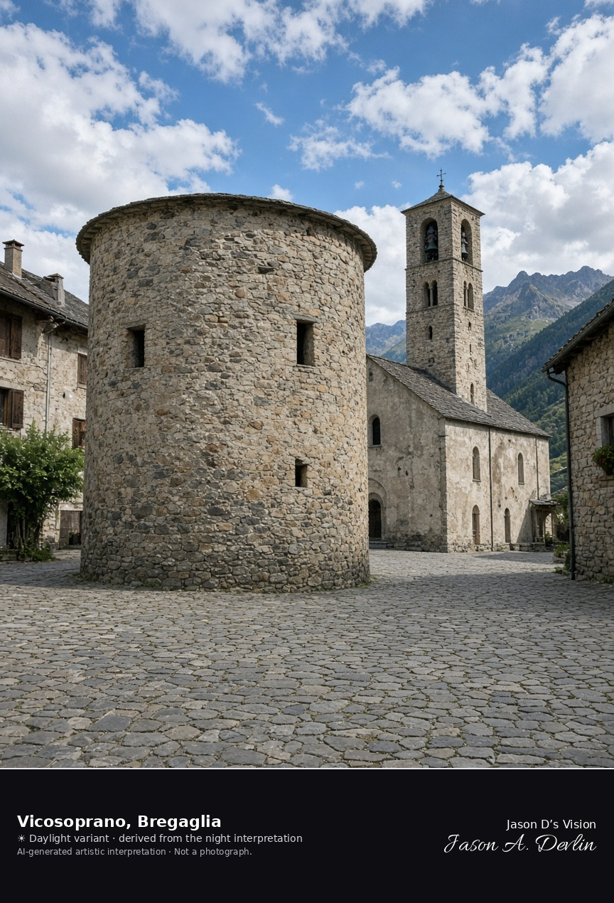
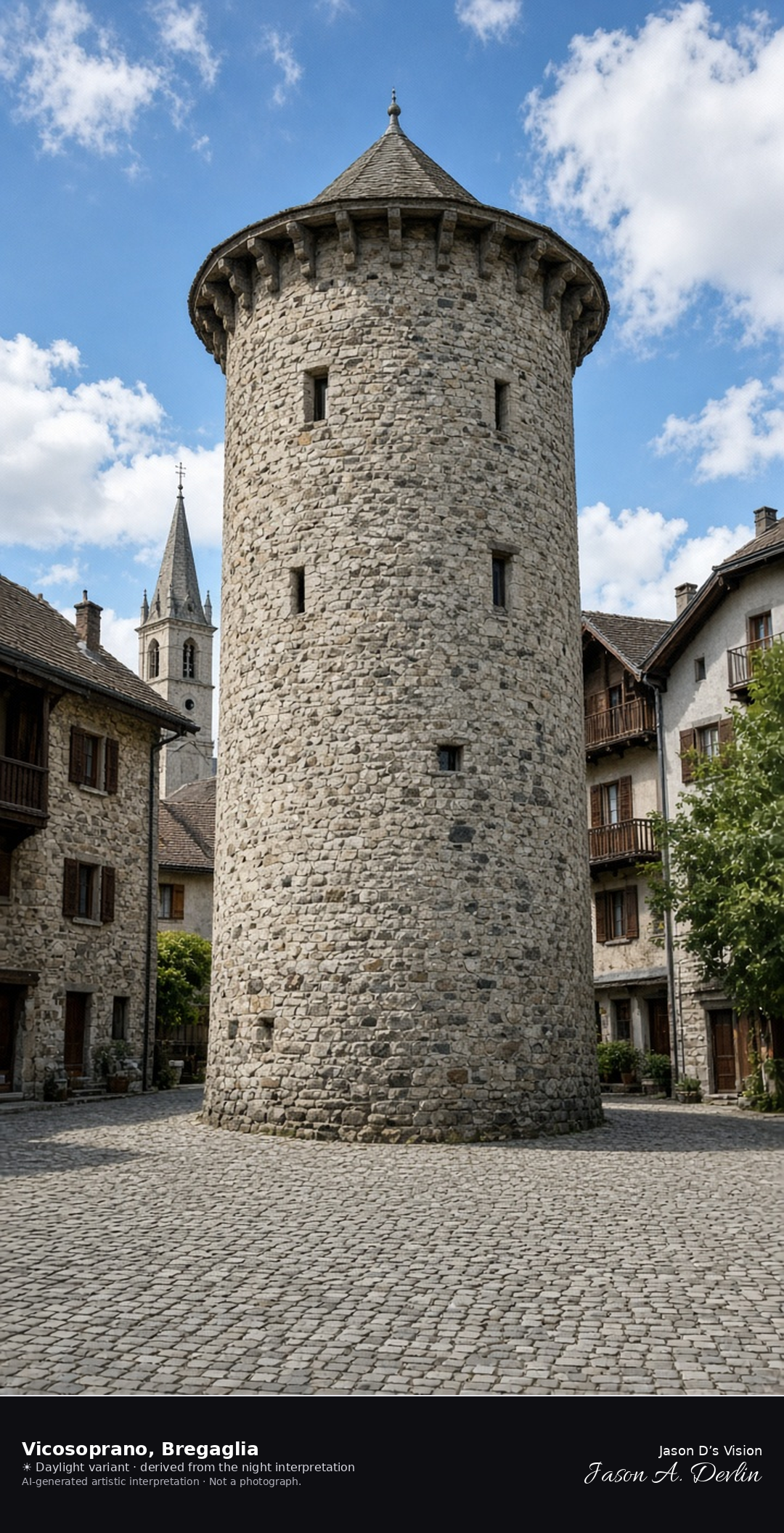
Pretorio tower and square in Vicosoprano · AI-generated artistic interpretation
Vicosoprano is the largest village of Bregaglia, a cobbled square with the round tower of the old Pretorio, the church of San Cassiano, and stone houses. It stands in for Chiavenna, which is in Italy, and it is not the Maloja Pass. No coat of arms is readable. The Open-Meteo model is clear and mild, with a breeze and no precipitation, and the sun is below the horizon.
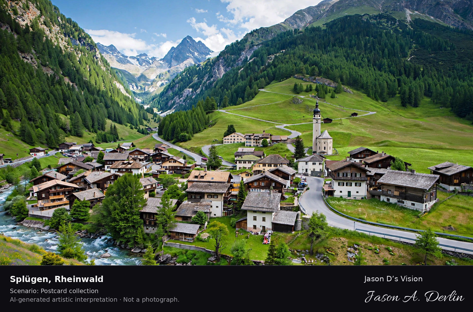
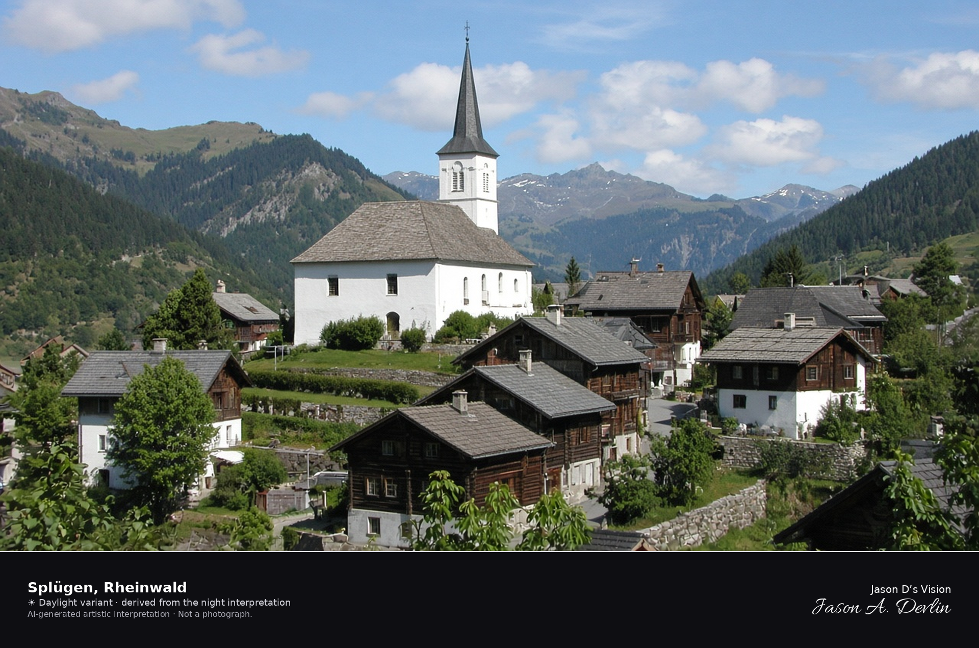
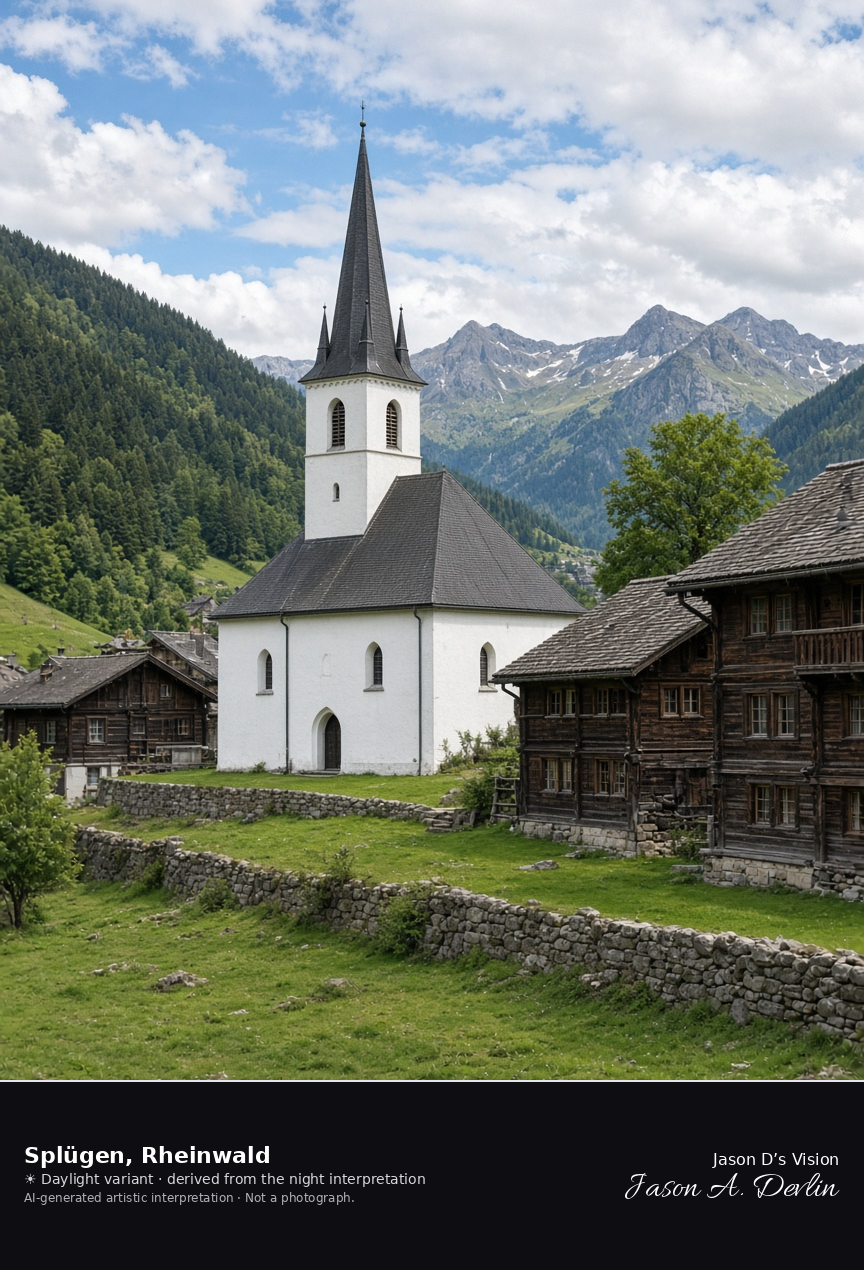
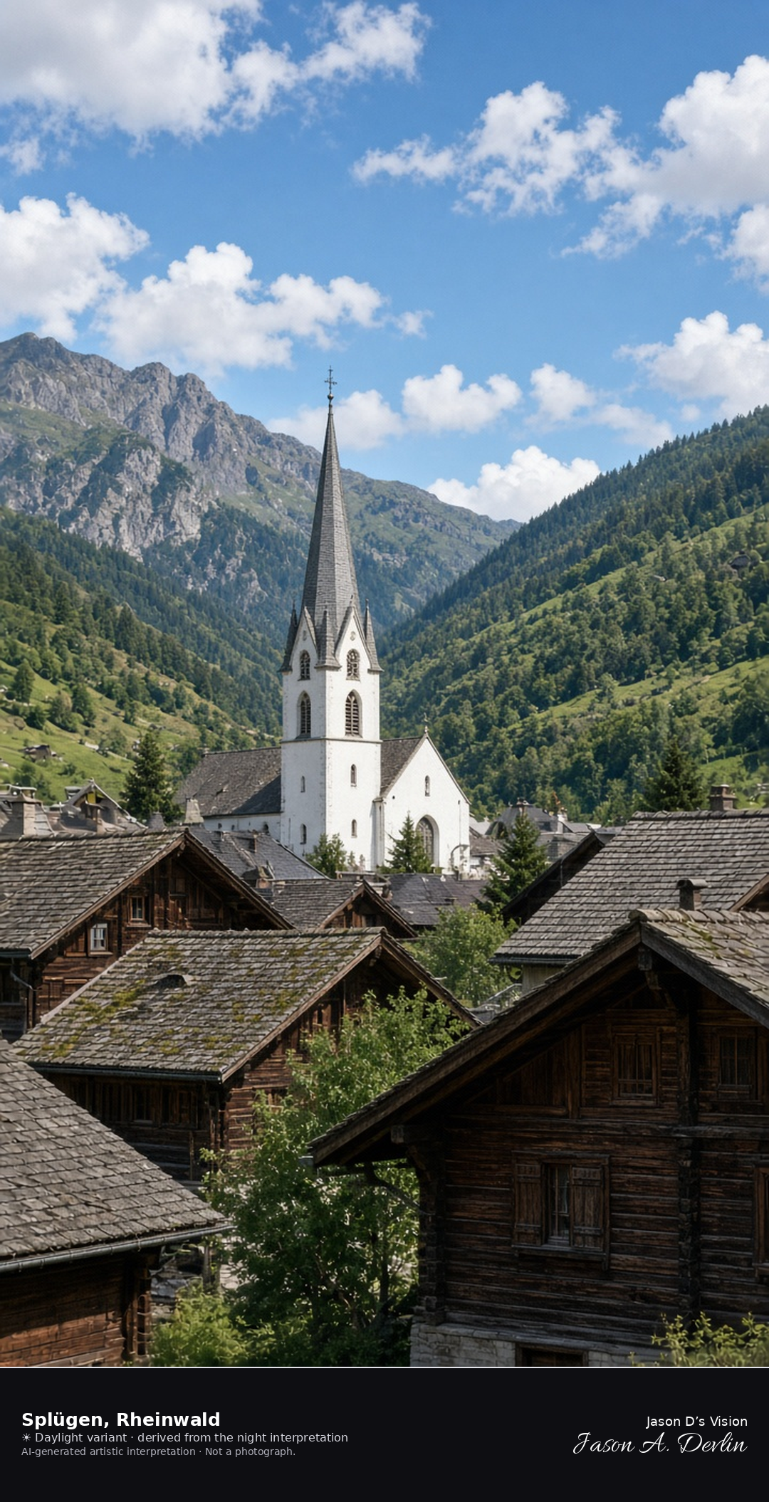
Reformed church and old village of Splügen in Rheinwald · AI-generated artistic interpretation
Splügen’s old village gathers around the squat Reformed church of 1709, with its hipped nave and pointed spire, in the municipality of Rheinwald. This is the valley village, not the Splügen Pass on the border, and no hotel name is readable. The Open-Meteo weather code is partly cloudy while the cloud cover is about fifteen percent, so the frame uses a nearly clear sky, cool and breezy, with no precipitation, and the sun is below the horizon.
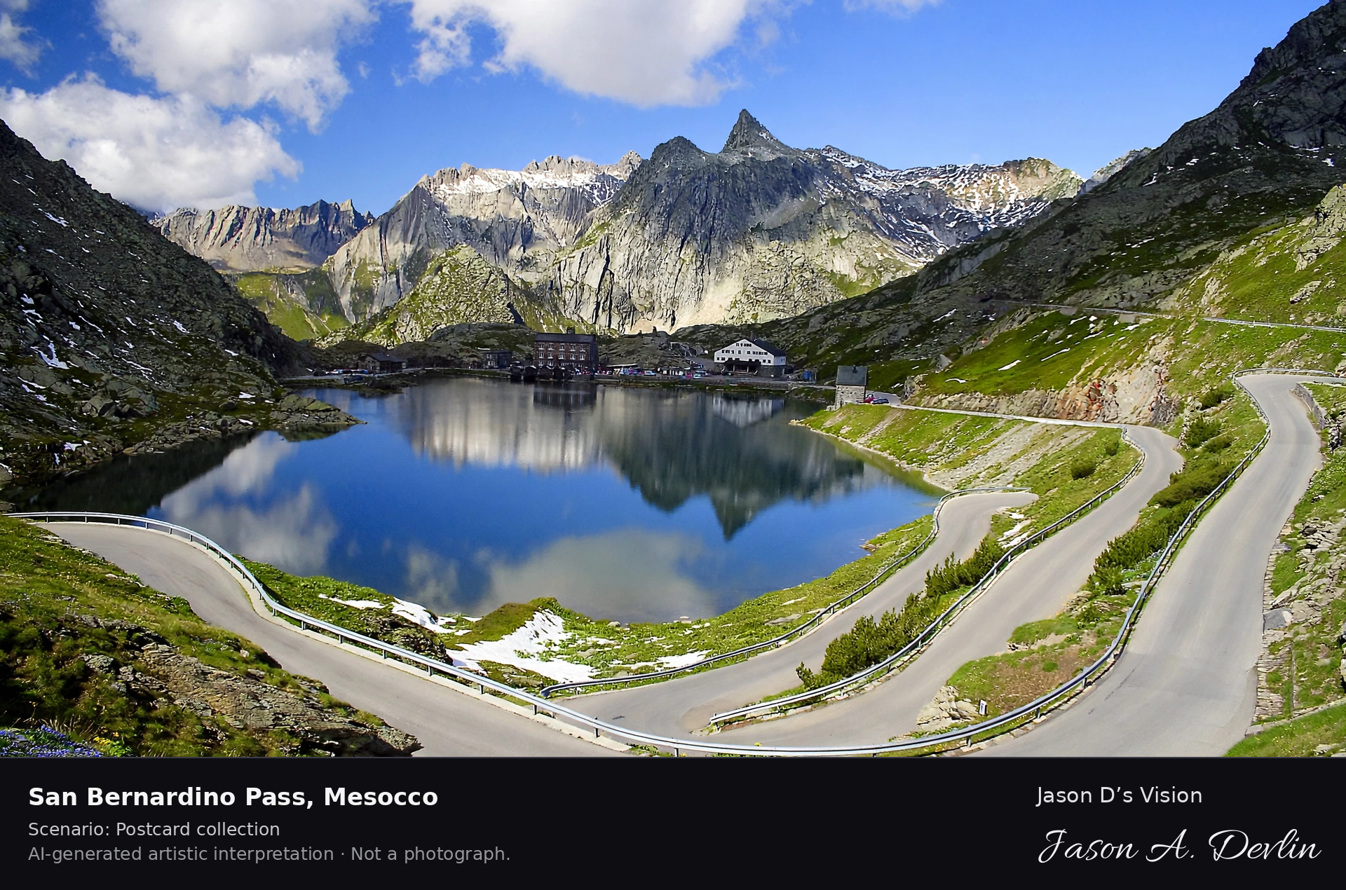
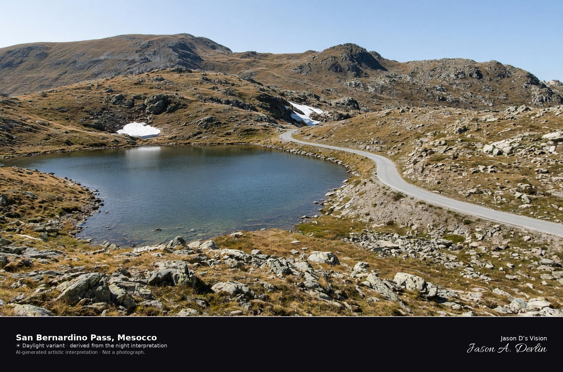
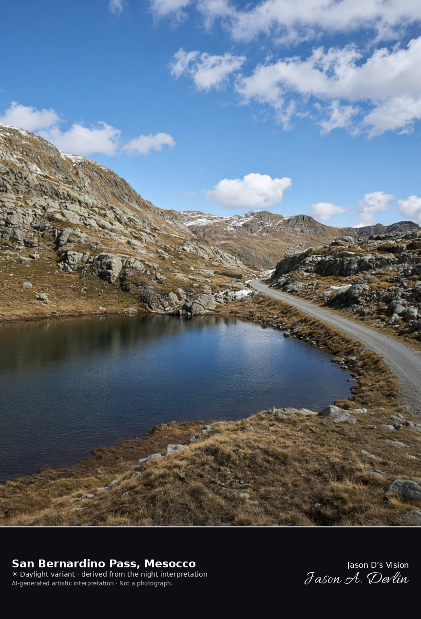
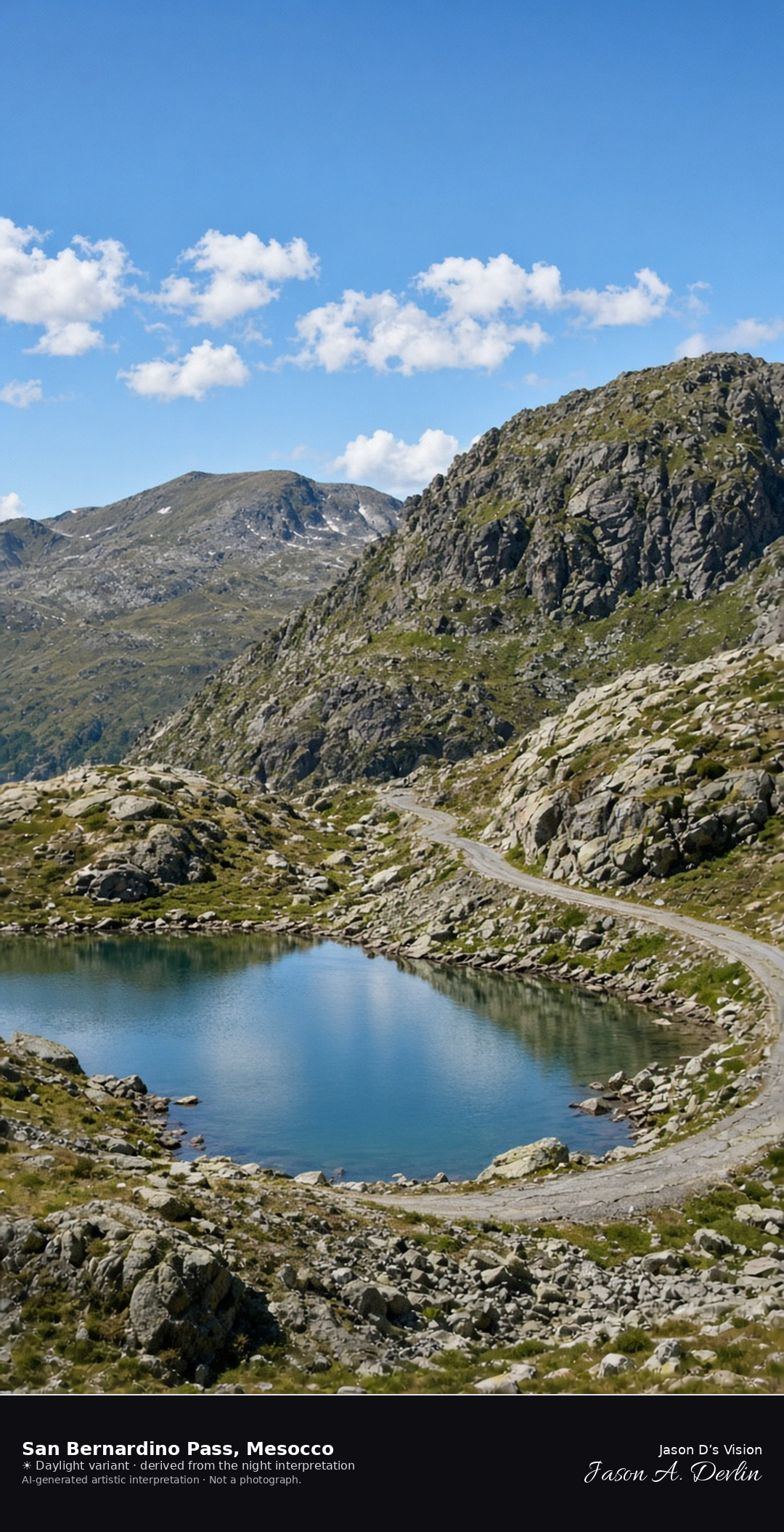
Laghetto Moesola and the old road on the San Bernardino Pass · AI-generated artistic interpretation
The San Bernardino Pass holds the small Laghetto Moesola and the old road on a rocky saddle in the municipality of Mesocco, well above the valley castle. Late September shows rock and tawny turf, with old snow only as leftover patches in shaded gullies. The Open-Meteo weather code is mainly clear, the sky is clear, the air is cool and windy, there is no precipitation, and the sun is below the horizon.
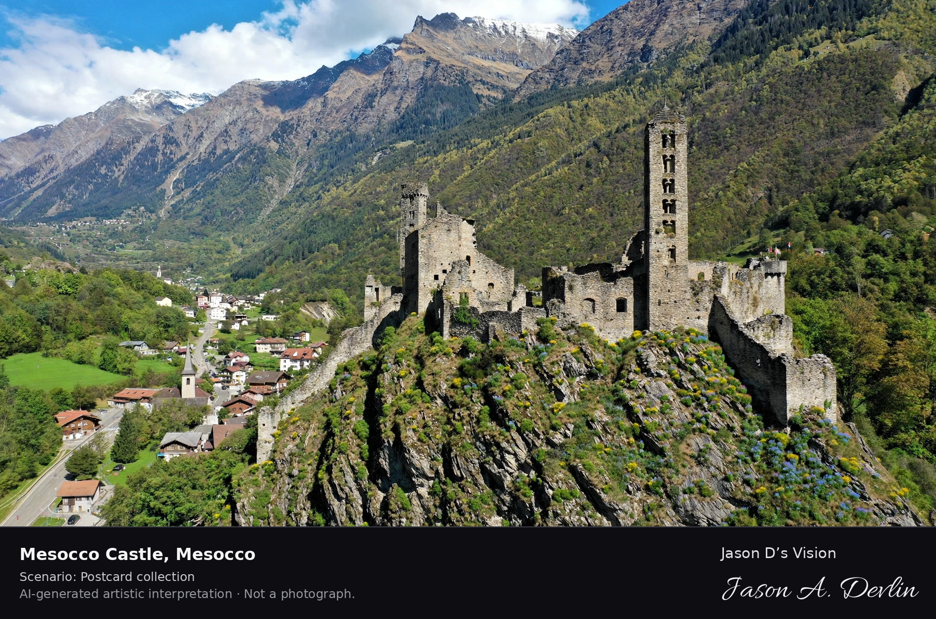
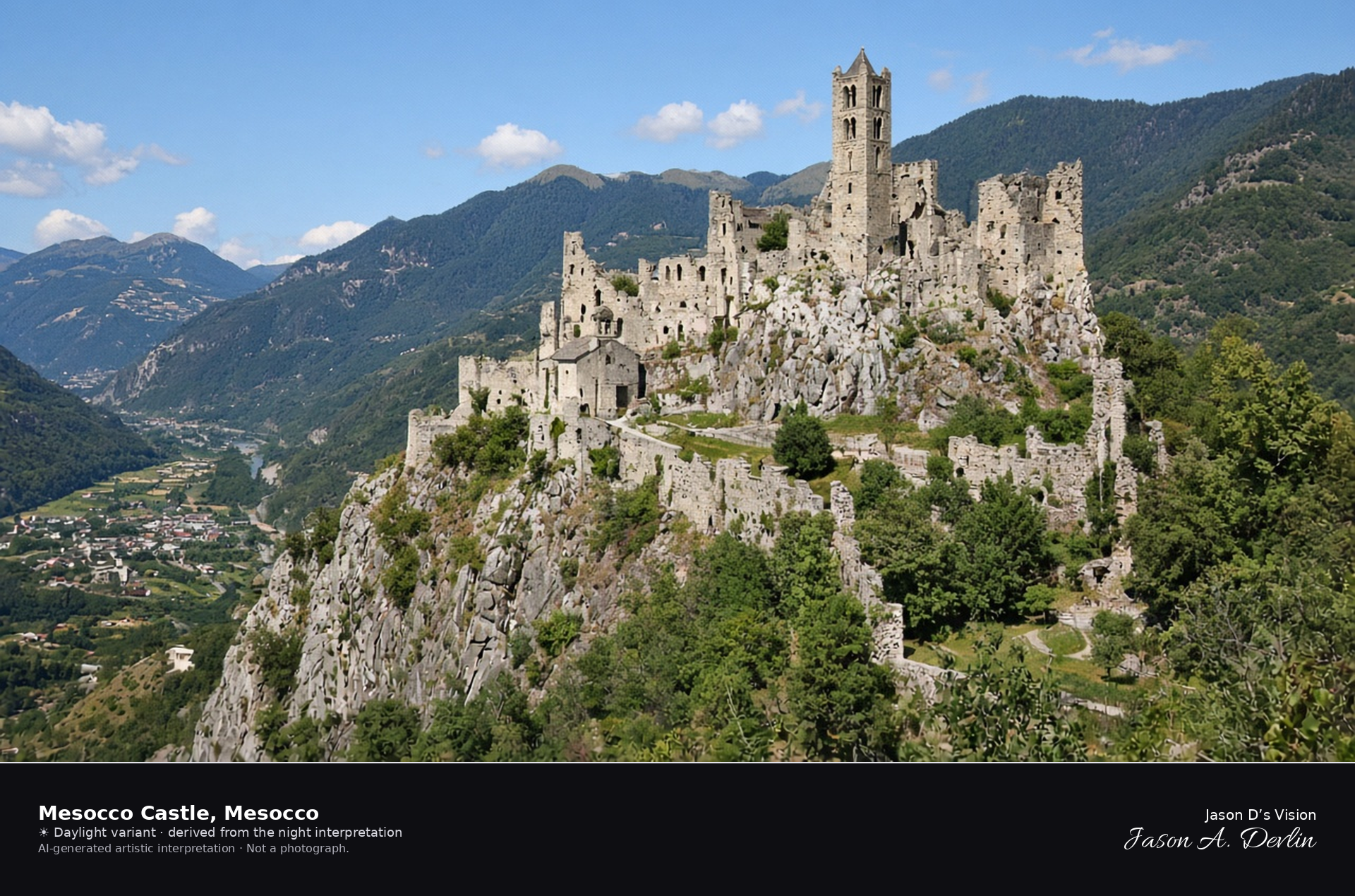
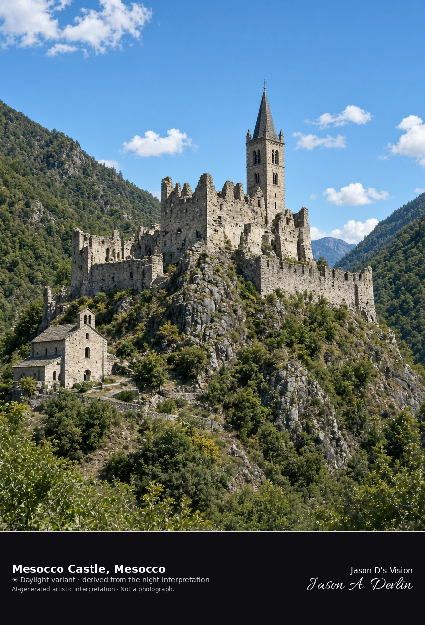
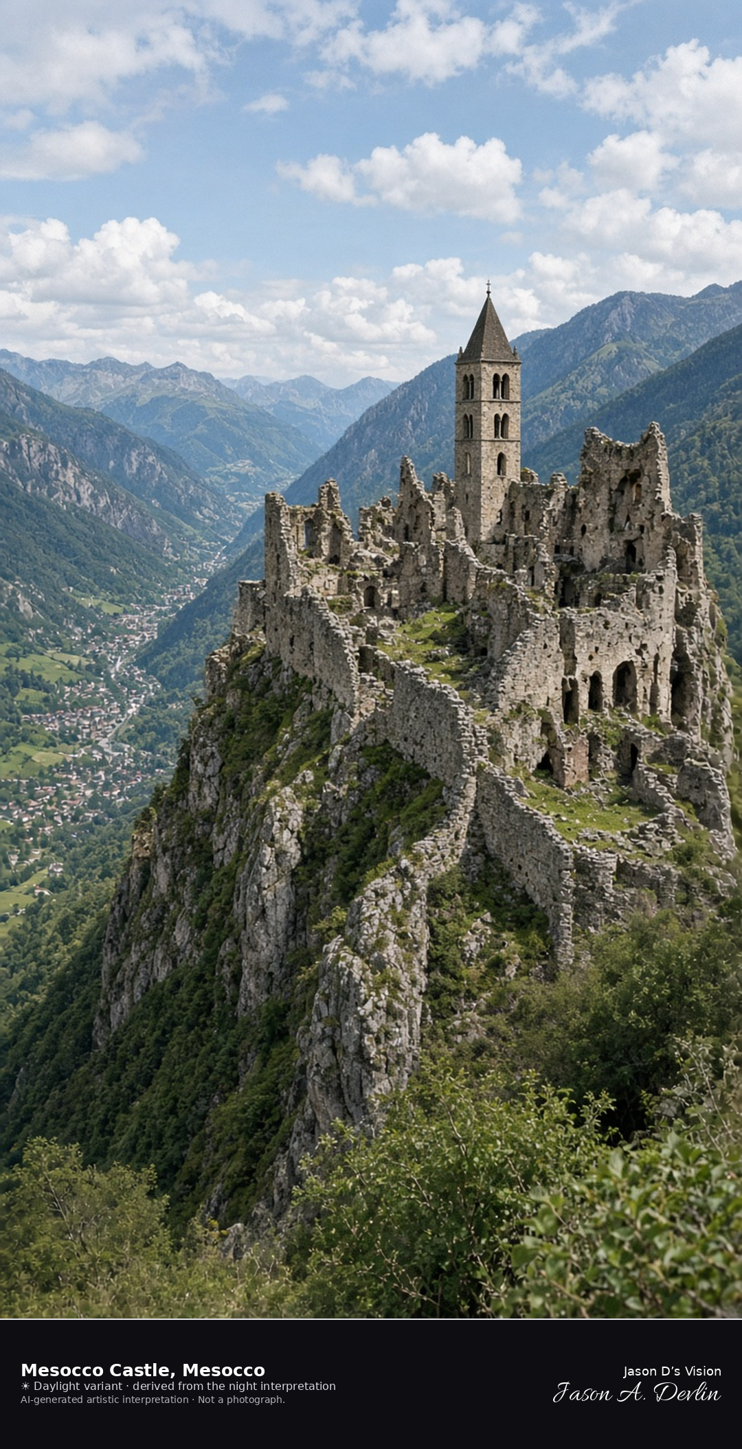
Ruin of Mesocco Castle above the Moesa · AI-generated artistic interpretation
The castle of Mesocco is a consolidated ruin on a rock above the Moesa, with the remains of its wall towers and the Romanesque bell tower of San Carpoforo, and Santa Maria del Castello at the northern approach. It is not an intact fortress and not the San Bernardino Pass. The Open-Meteo model is clear and mild, with little wind and no precipitation, and the sun is below the horizon.
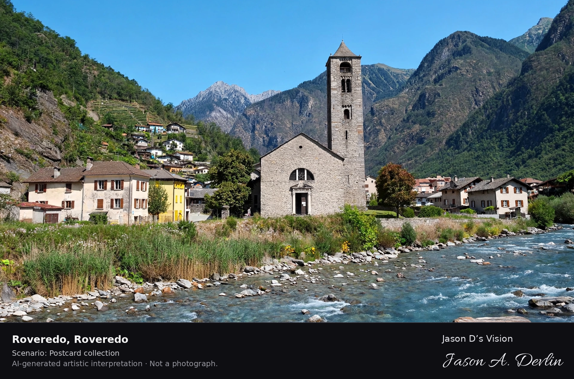
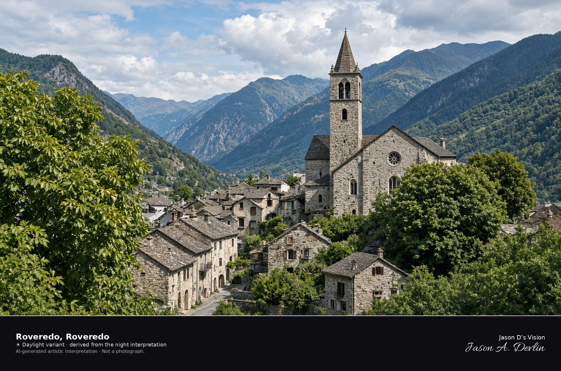
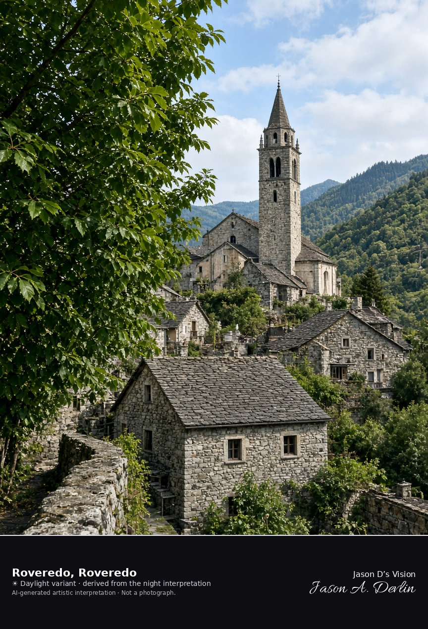
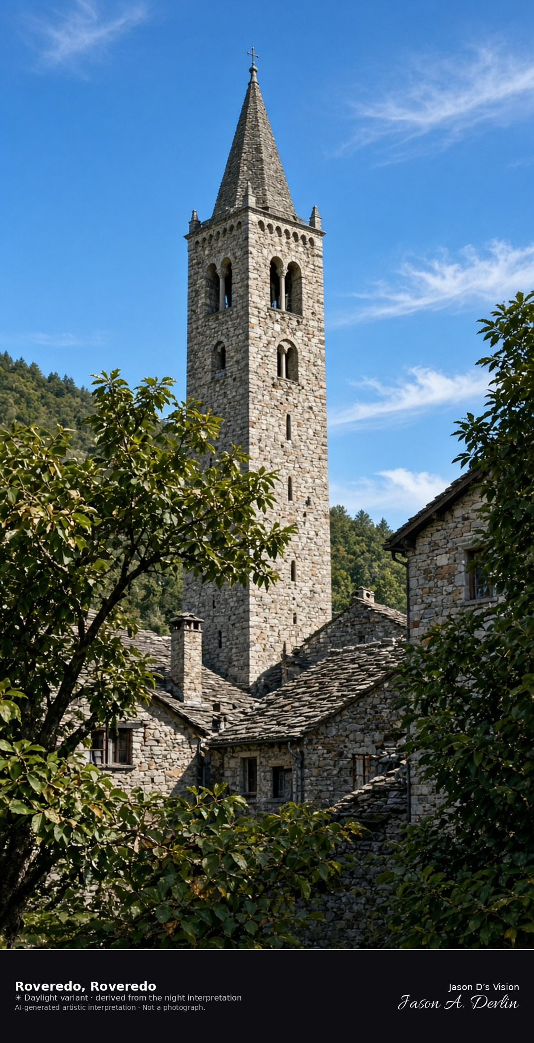
Church of San Giulio in Roveredo in the Mesolcina · AI-generated artistic interpretation
Roveredo is the town in the lower Mesolcina, in Graubünden, with the church of San Giulio among stone houses and chestnut trees. Roveredo in Capriasca, in Ticino, is a different place and is not used, and this is not Mesocco Castle. The Open-Meteo weather code is clear while cloud cover is about a third, so the frame uses broken cloud, the air is warm and dry, there is no precipitation, and the sun is below the horizon.
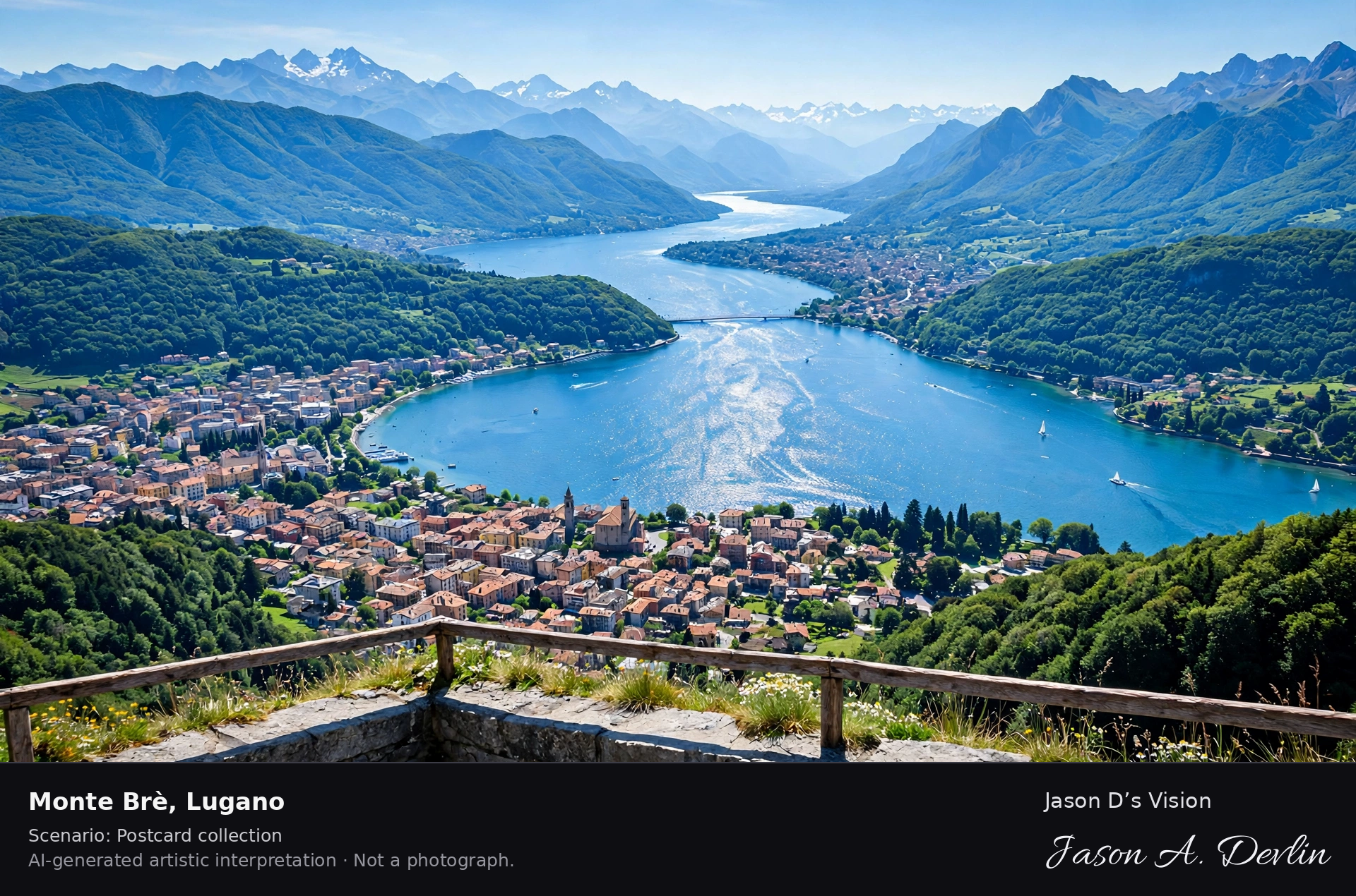
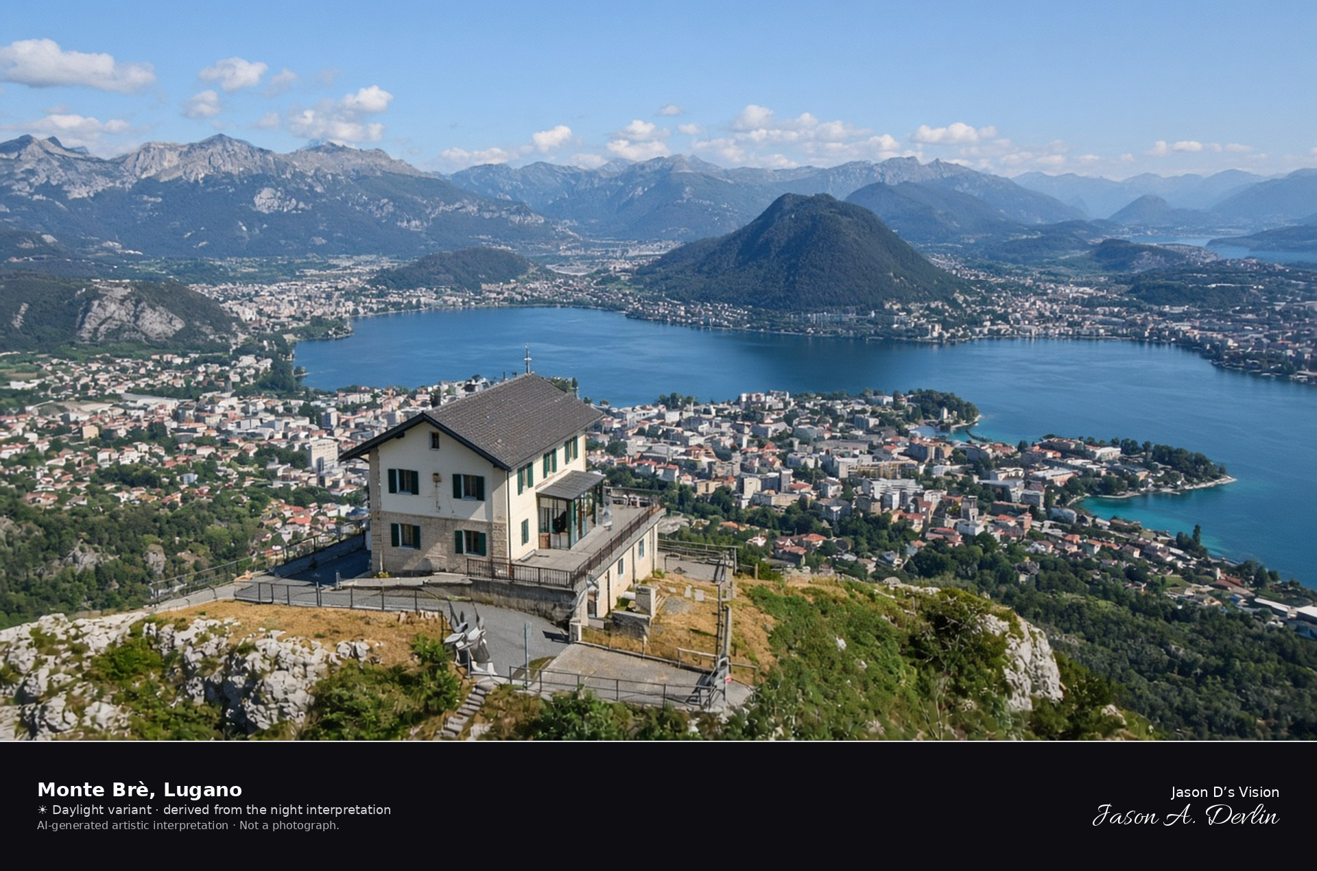
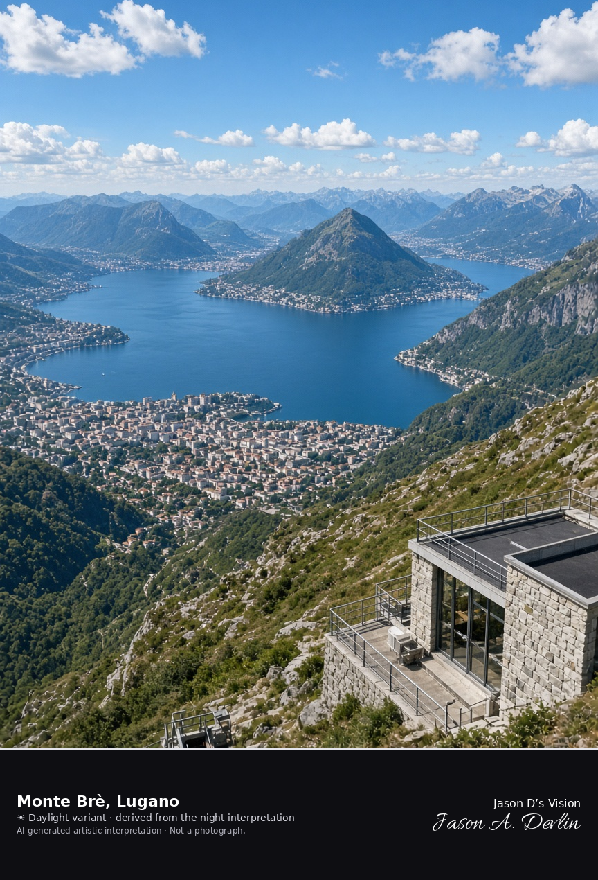
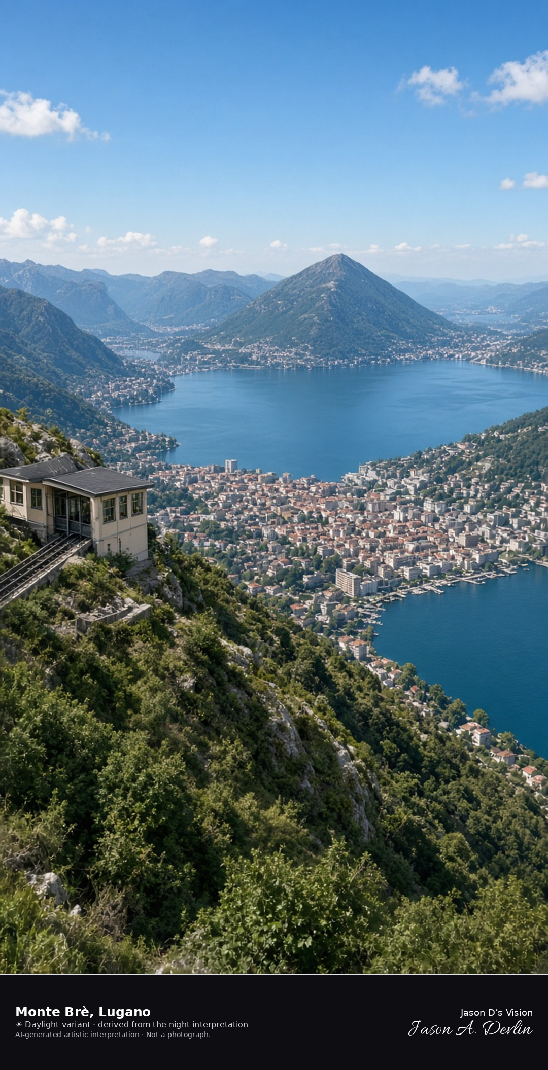
Summit of Monte Brè looking over Lugano toward Monte San Salvatore · AI-generated artistic interpretation
The upper station of the Monte Brè funicular sits on the summit above Lugano, looking over the lights of the city and the lake toward the dark cone of Monte San Salvatore. This is not the lakefront, not Parco Ciani, not Gandria, and not the San Salvatore summit, and no restaurant name is readable. The Open-Meteo model is clear and mild, with a light wind and no precipitation, and the sun is below the horizon.
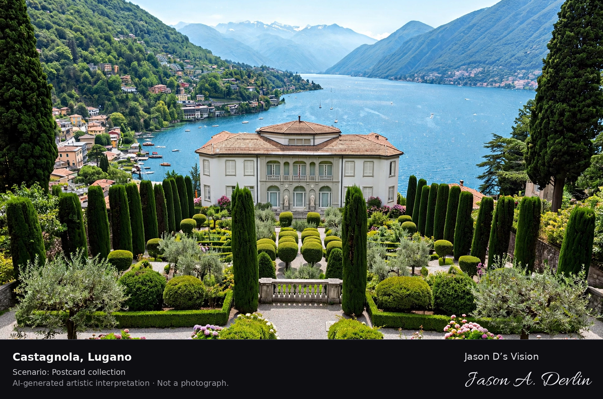
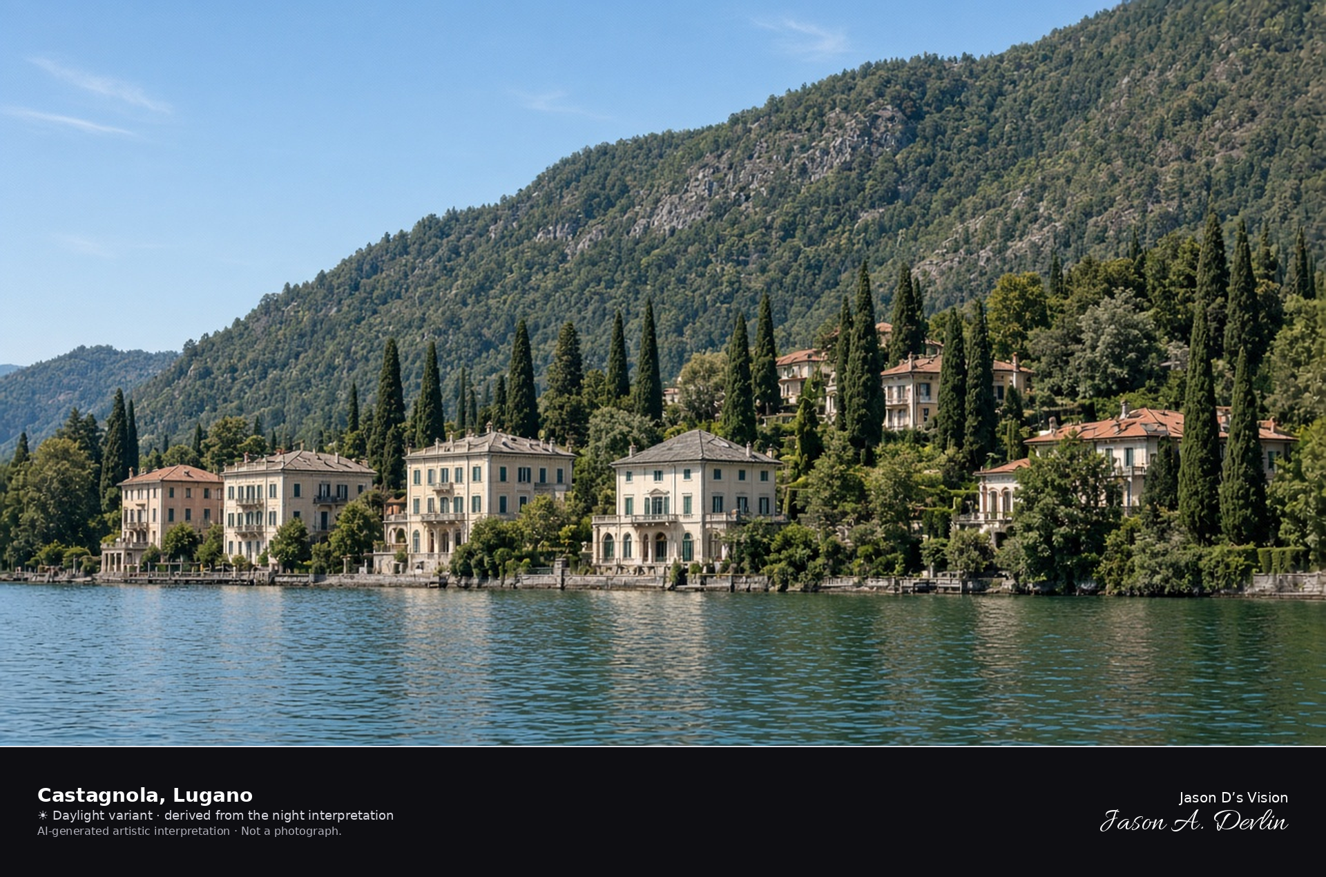
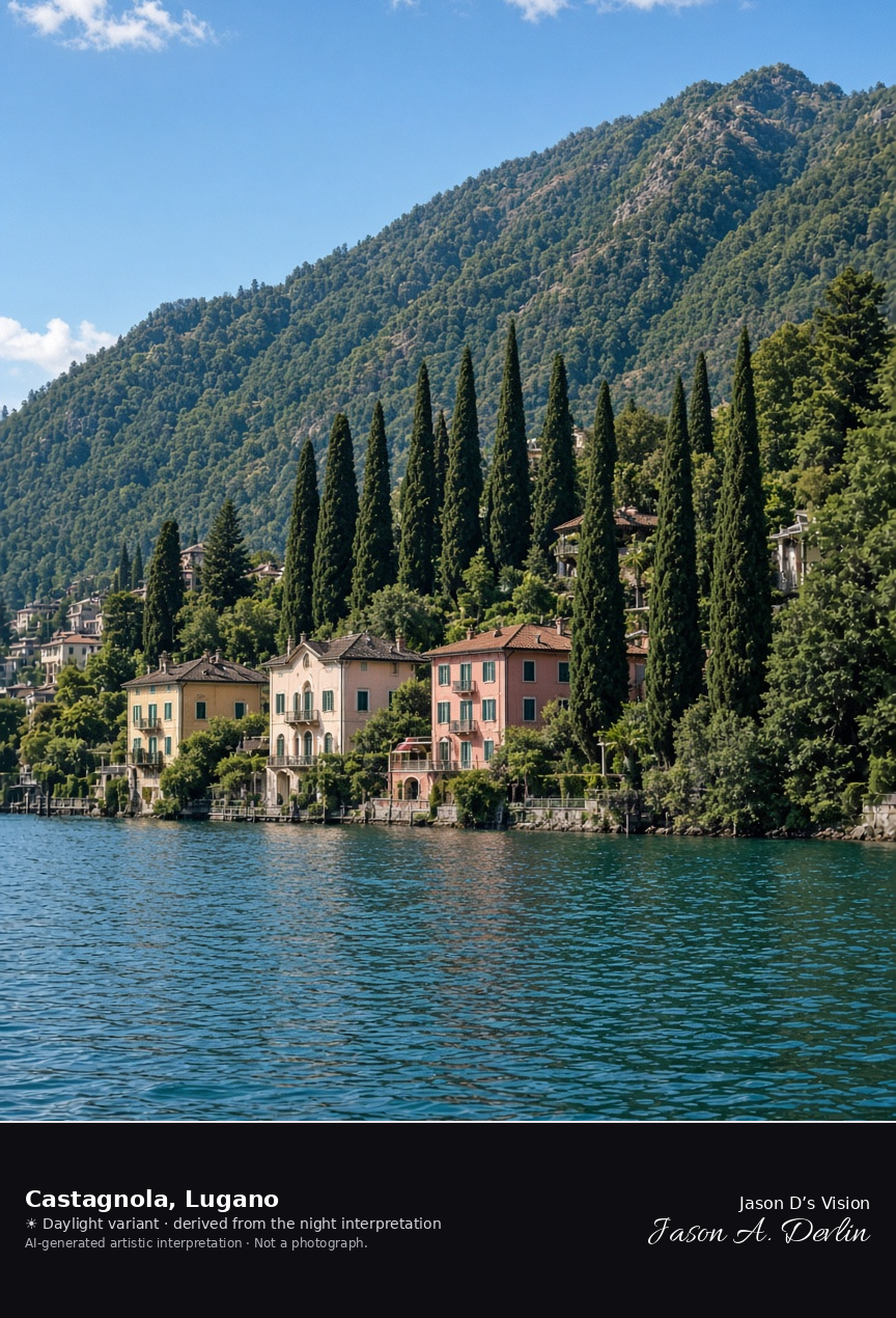
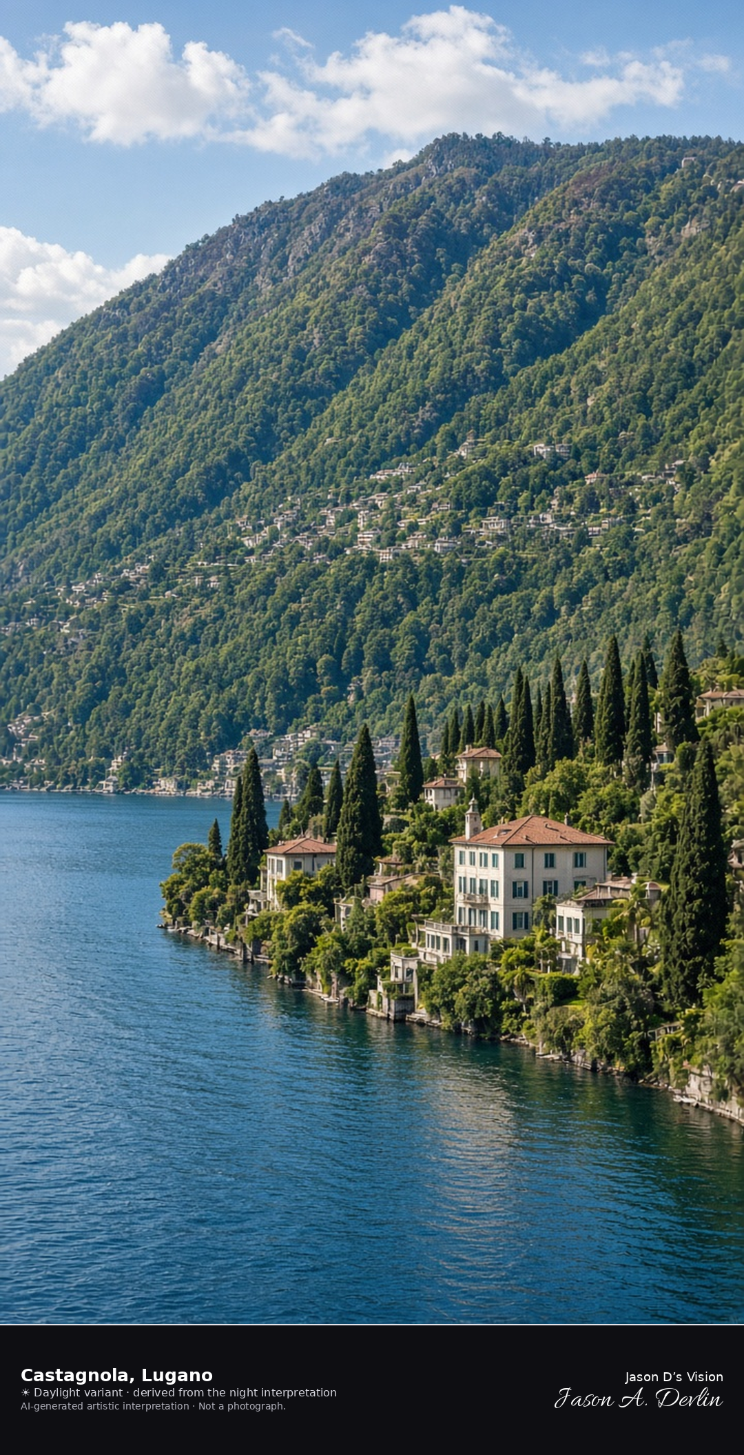
Castagnola lakeside beneath Monte Brè · AI-generated artistic interpretation
Castagnola is the lakeside quarter east of Lugano’s center, a shore of villas and cypresses with Monte Brè rising behind it, and it has been part of Lugano since 1972. The frame stops before the stacked cliff houses of Gandria, and no villa name is readable. The Open-Meteo model is clear and warm, with little wind and no precipitation, and the sun is below the horizon.
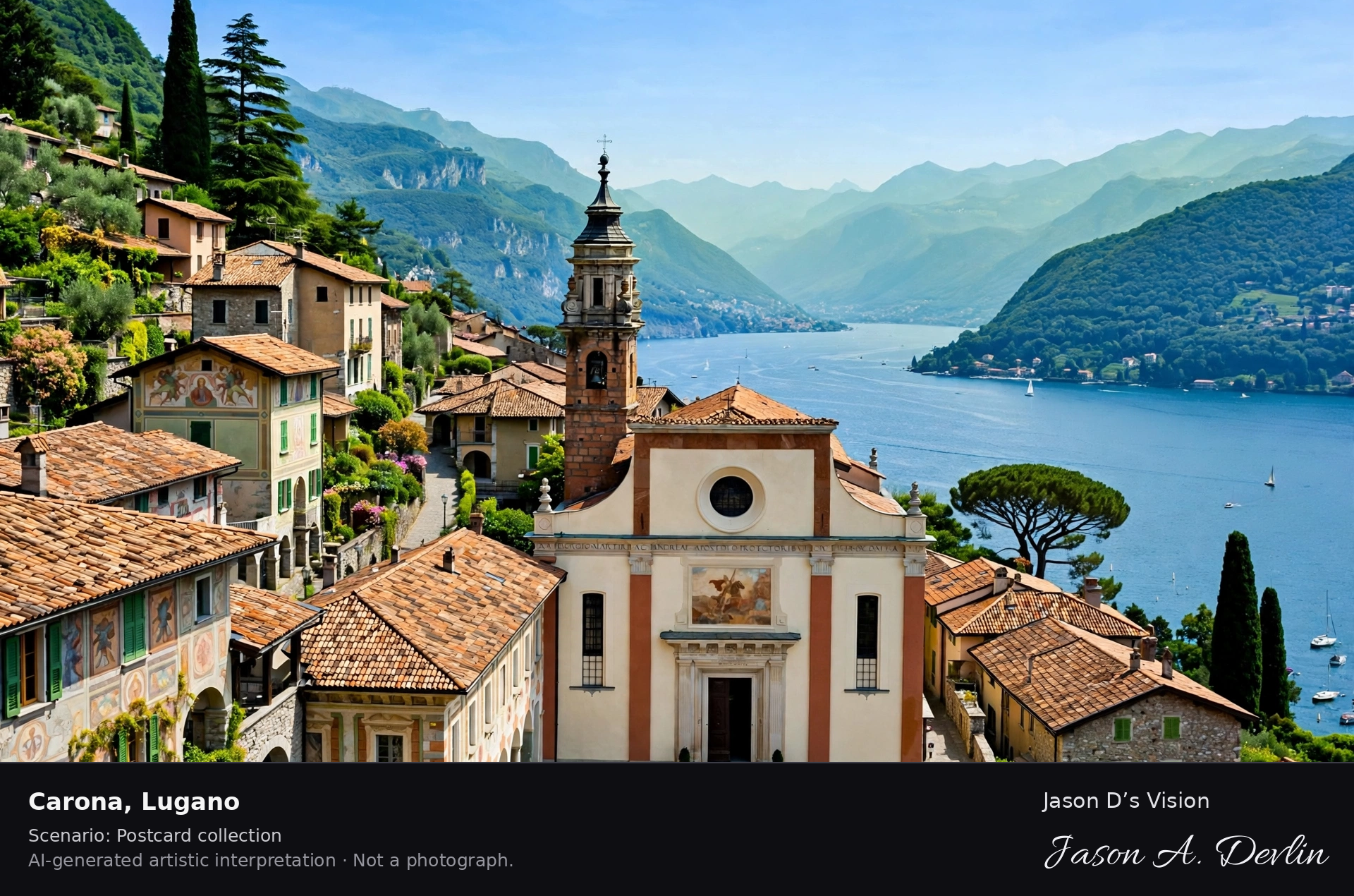
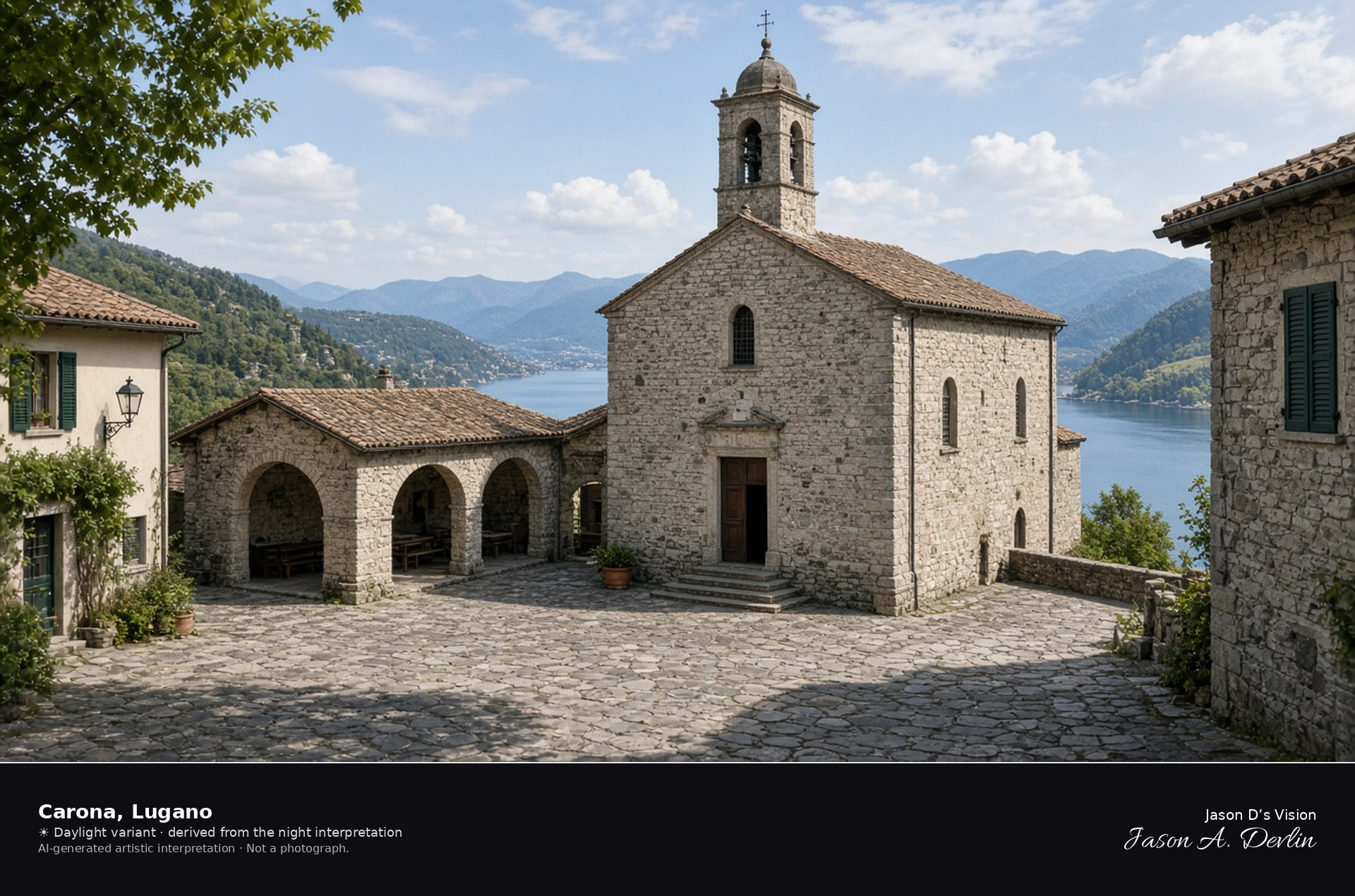
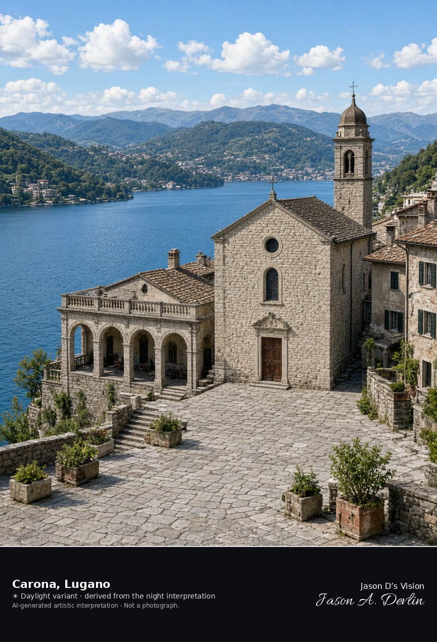
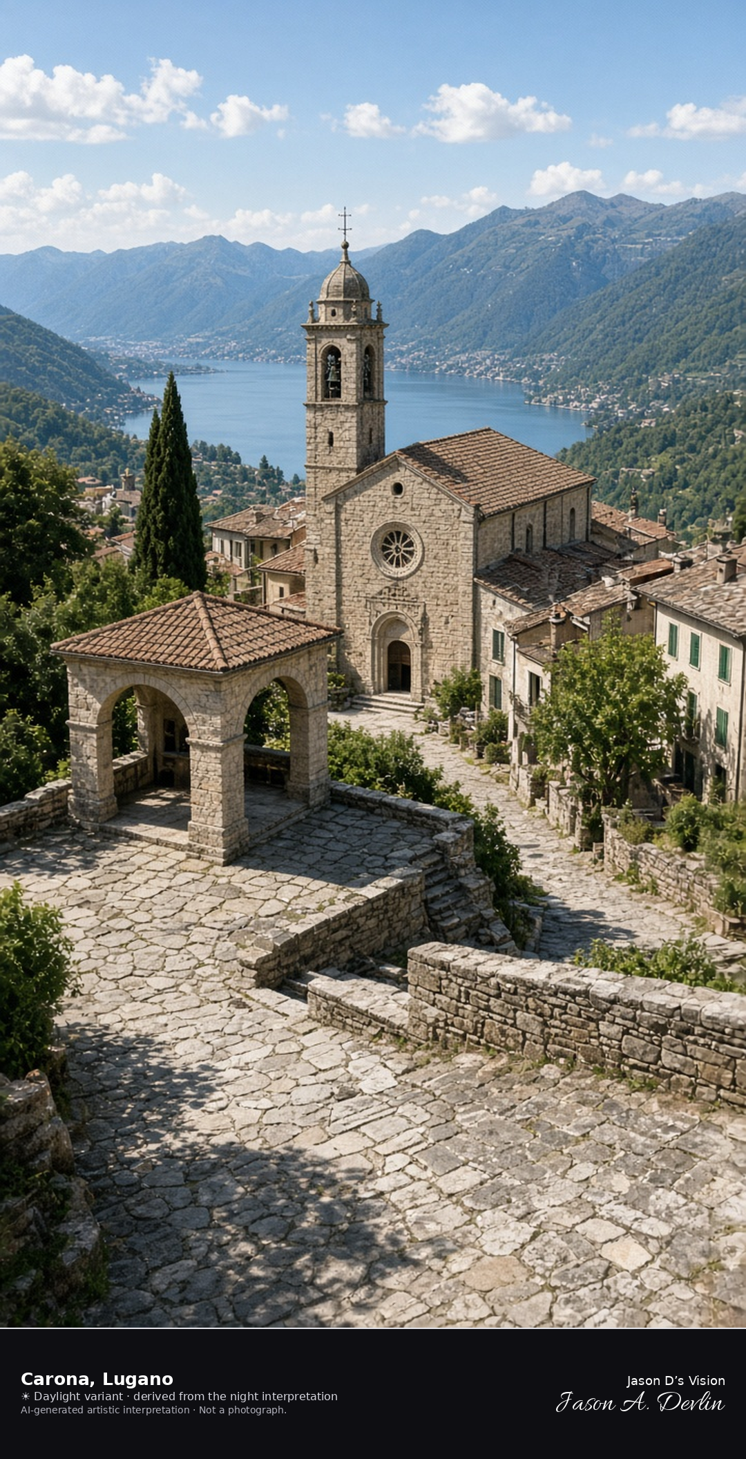
Parish church square of Carona above Lake Lugano · AI-generated artistic interpretation
Carona’s parish church of Santi Giorgio e Andrea closes a small square at the east entrance of the stone village, with the municipal loggia beside it, above Lake Lugano. Carona has been a quarter of Lugano since 14 April 2013, and this is not the summit of Monte San Salvatore and not Melide. Interior paintings are not the subject. The Open-Meteo model is clear and mild, with a light breeze and no precipitation, and the sun is below the horizon.
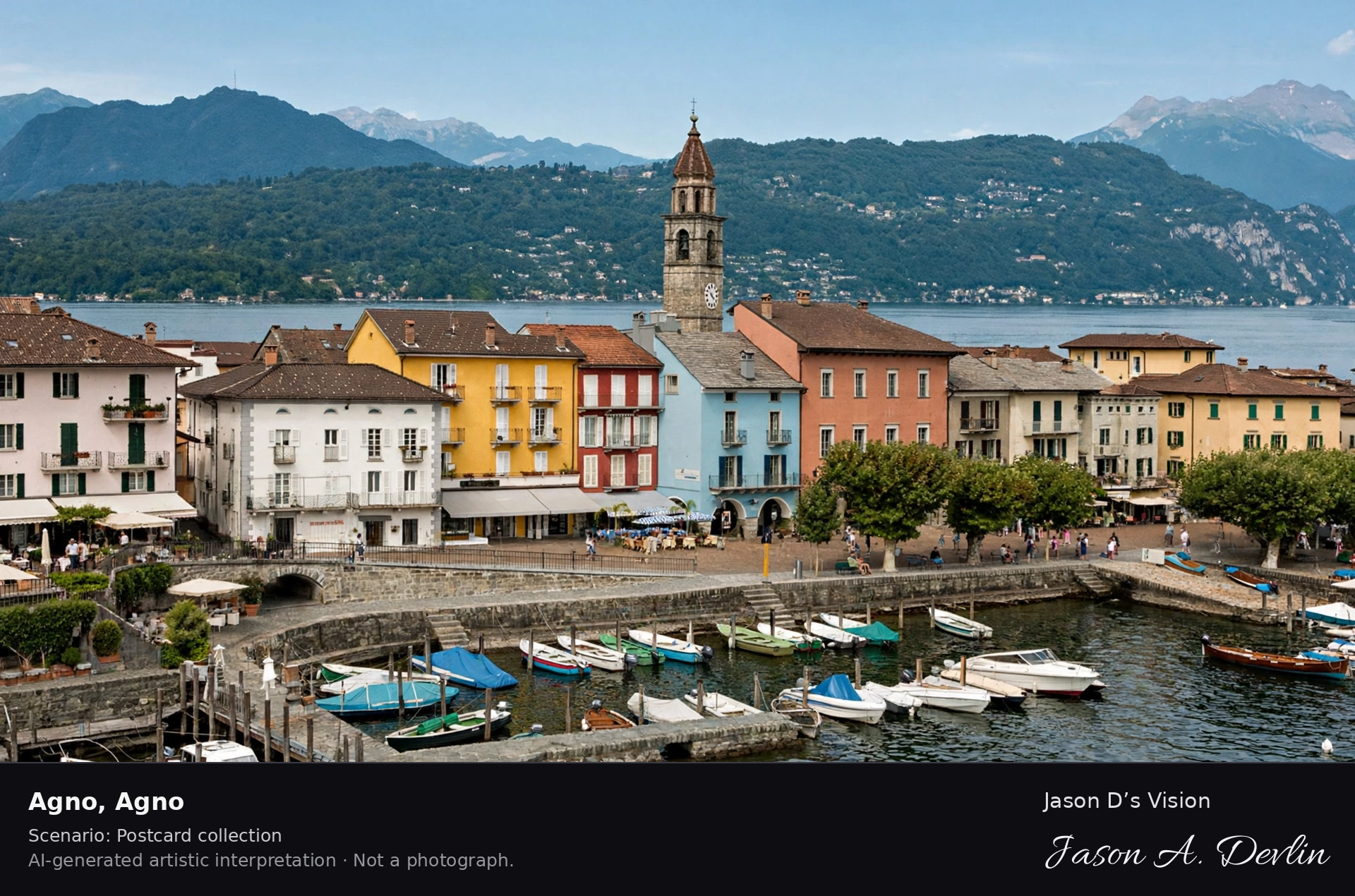
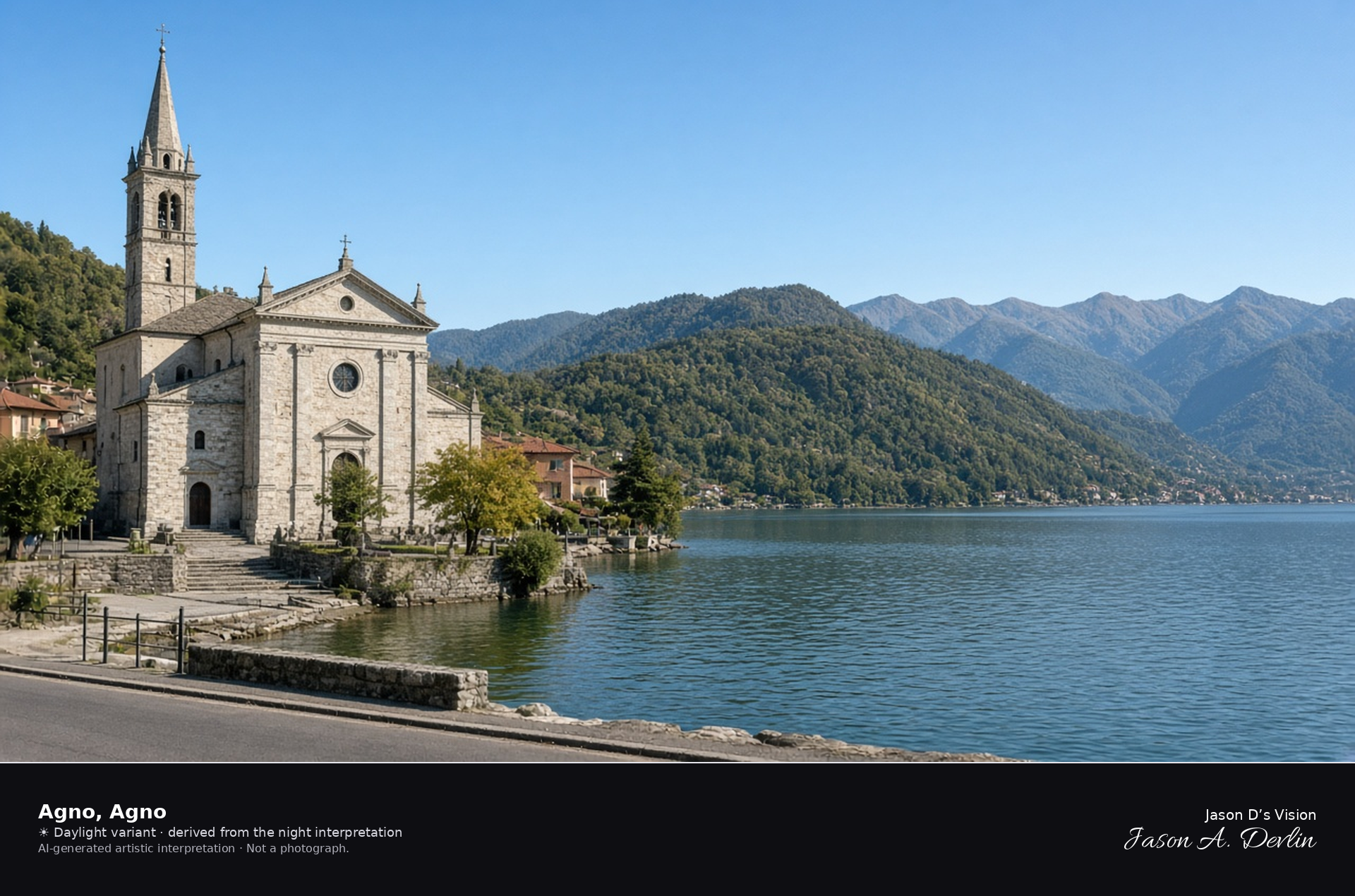
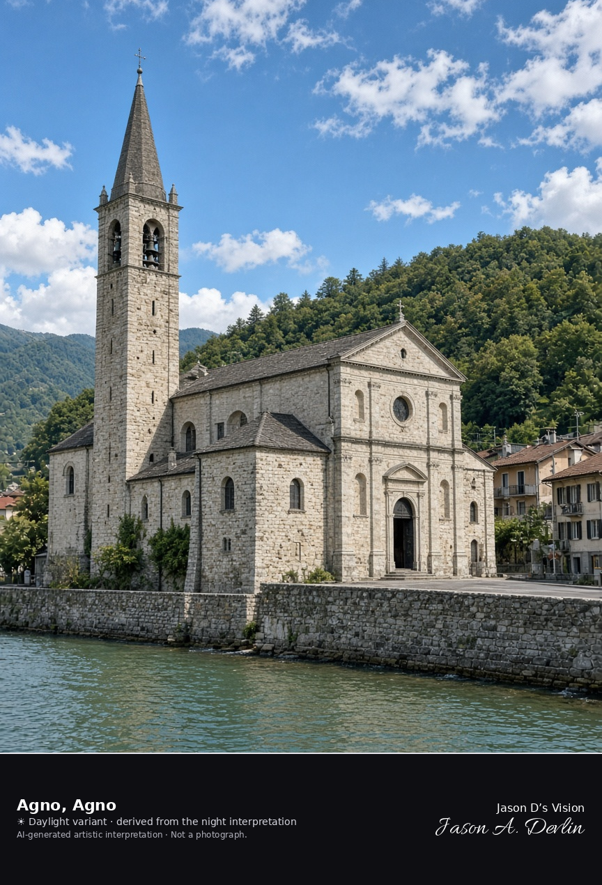
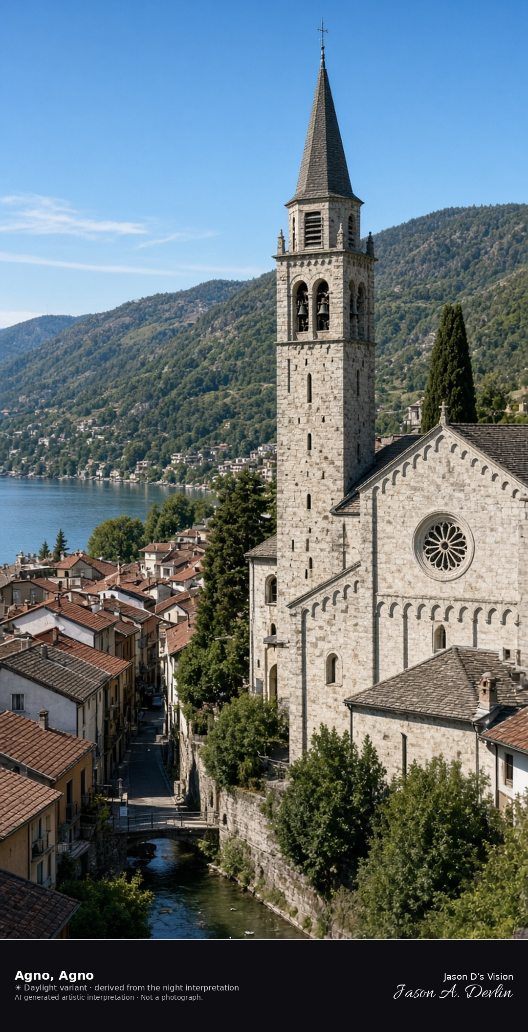
Parish church of Agno at the west end of Lake Lugano · AI-generated artistic interpretation
Agno’s parish church of Santi Giovanni Battista e Provino stands by the old village at the west end of Lake Lugano, near the mouth of the river. The airport is not in the frame, and no airline mark is shown. The Open-Meteo model is clear and warm, with little wind and no precipitation, and the sun is below the horizon.
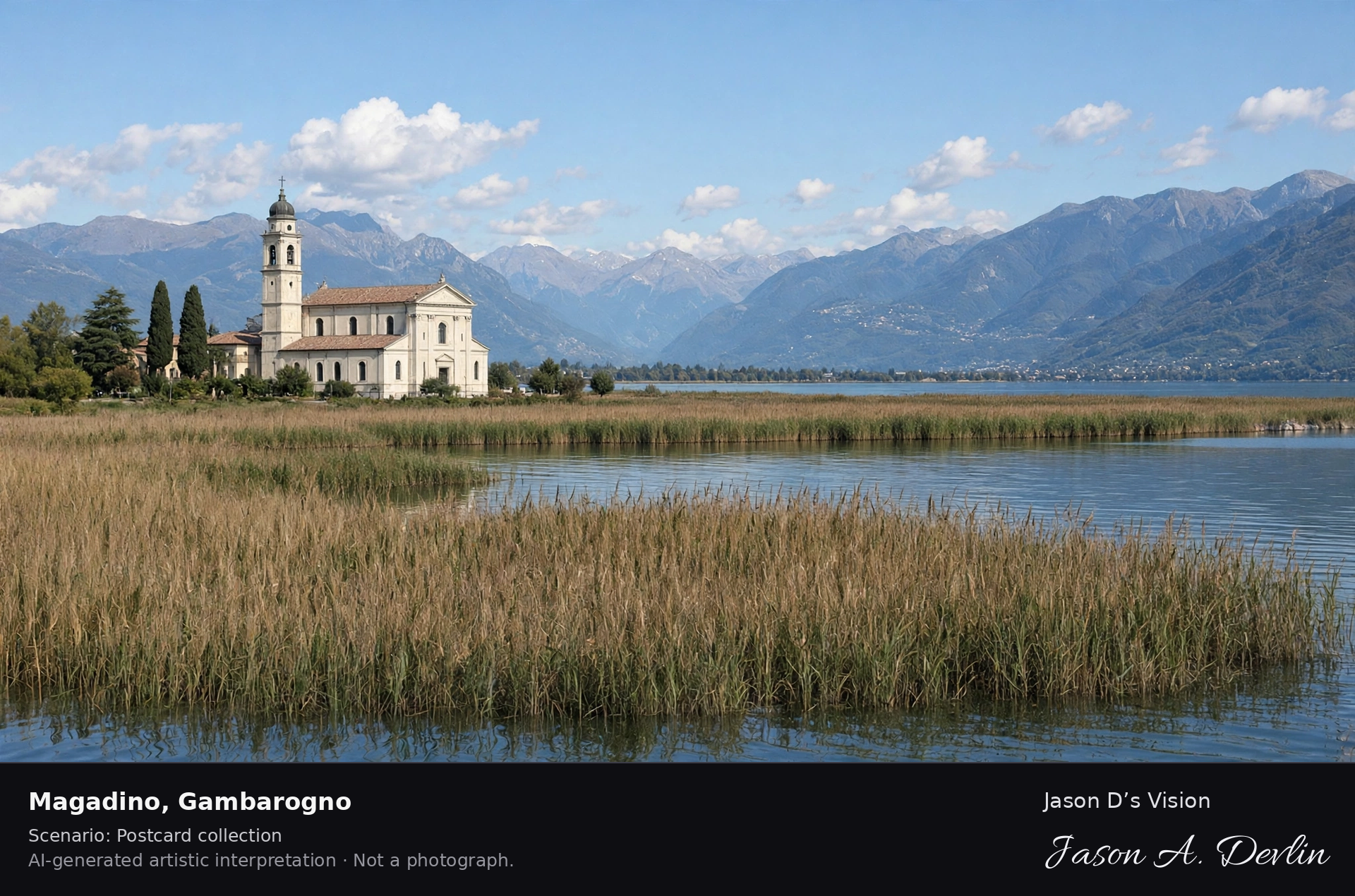
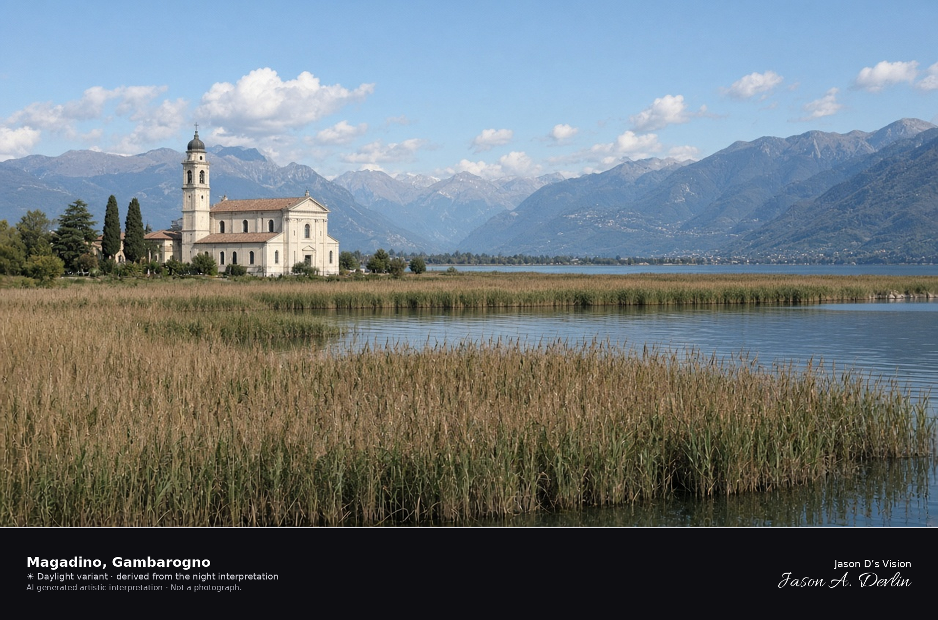
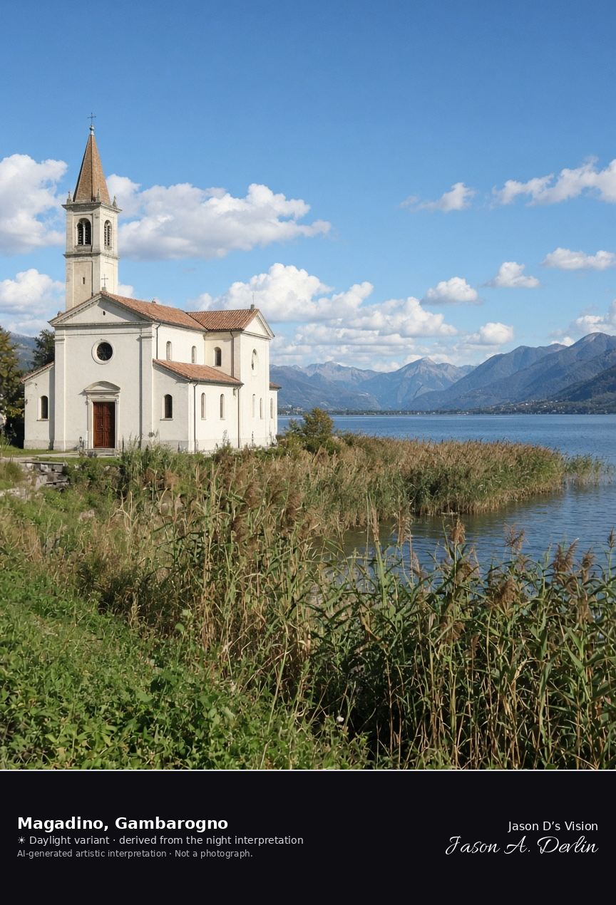
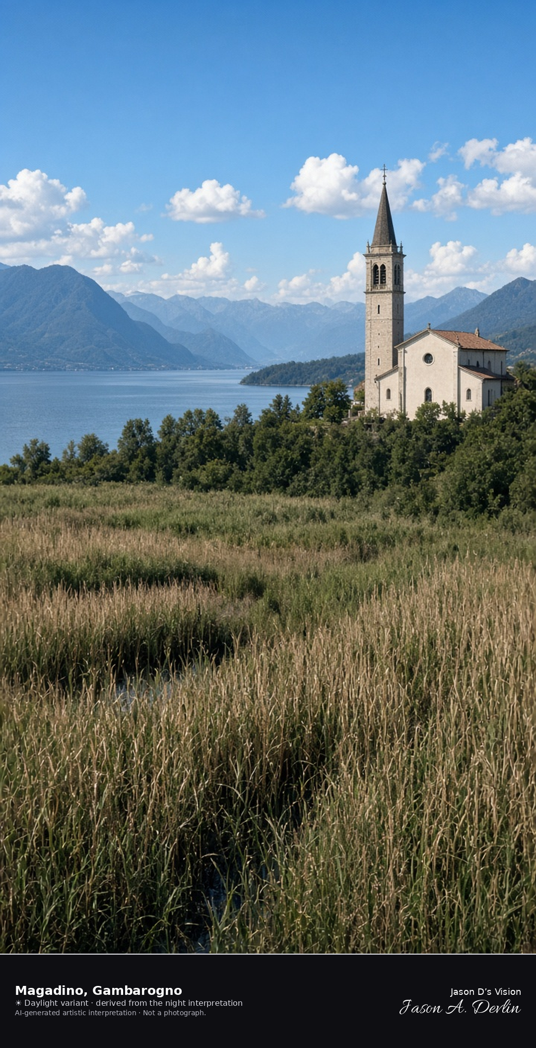
San Carlo and the reed beds of Magadino on Lake Maggiore · AI-generated artistic interpretation
Magadino sits on the Ticino delta in the municipality of Gambarogno, with the church of San Carlo, the reed beds of the Bolle, and Lake Maggiore beyond. It has not been its own municipality since the 2010 merger, and it is not the Locarno lakefront and not Ascona. The Open-Meteo weather code is mainly clear, with cloud cover about half, warm air, little wind, and no precipitation, and the sun is below the horizon.
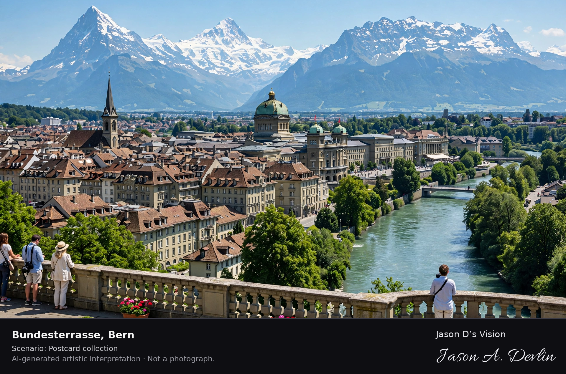
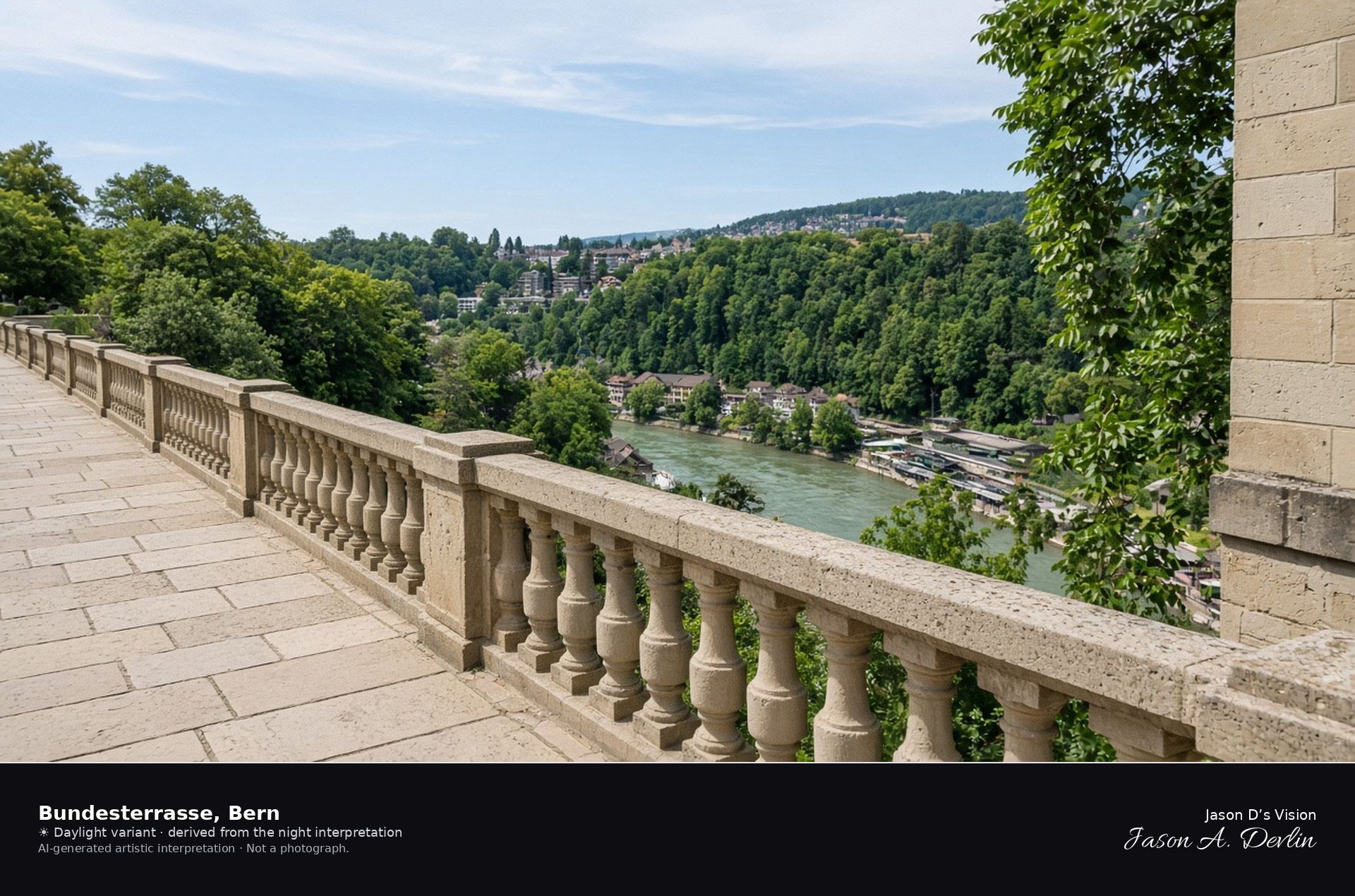
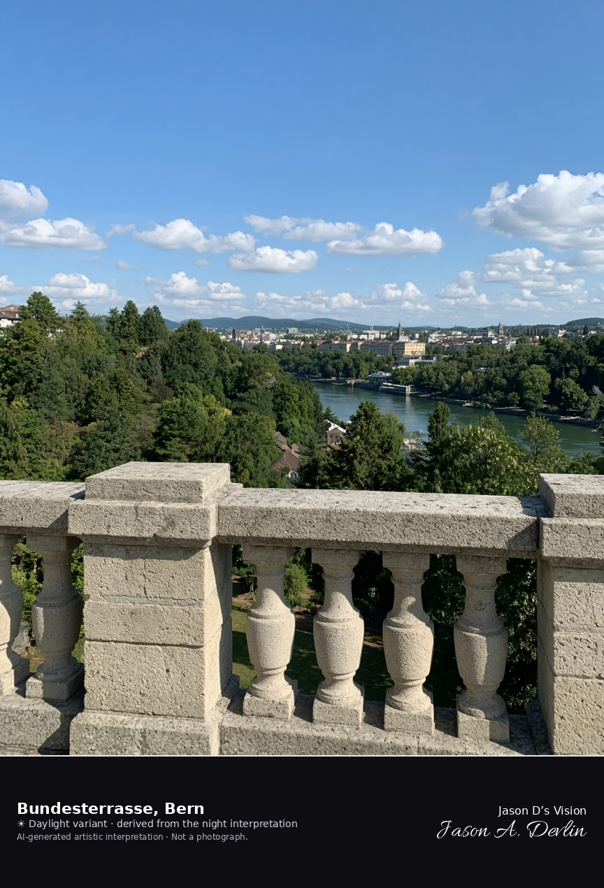
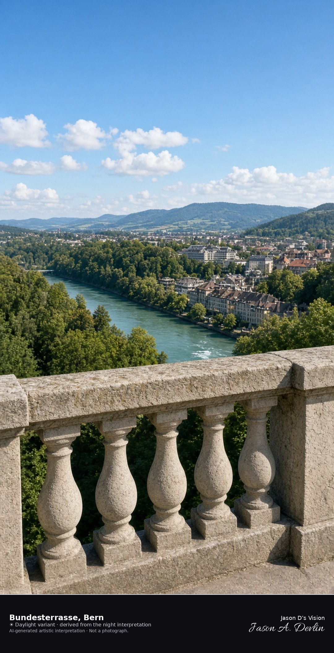
Bundesterrasse looking south over the Aare slope · AI-generated artistic interpretation
The Bundesterrasse is the promenade on the south side of the Federal Palace, above the wooded slope to the Aare and Marzili. The frame looks south from the terrace, so it is not the north facade on Bundesplatz and not the Zytglogge. The Open-Meteo model is overcast and mild, about 17°C, with almost no wind and no precipitation, and the sun is below the horizon.
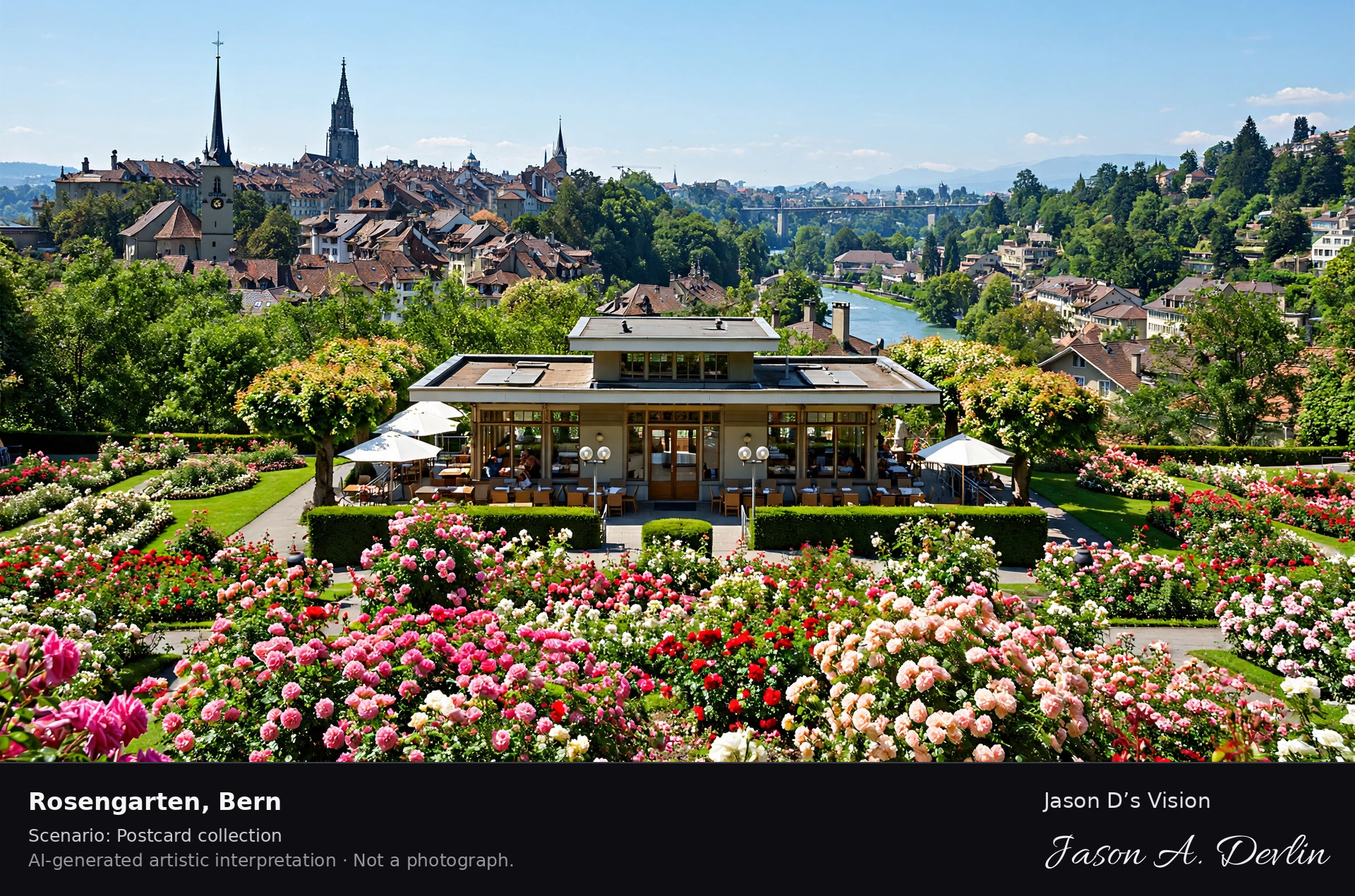
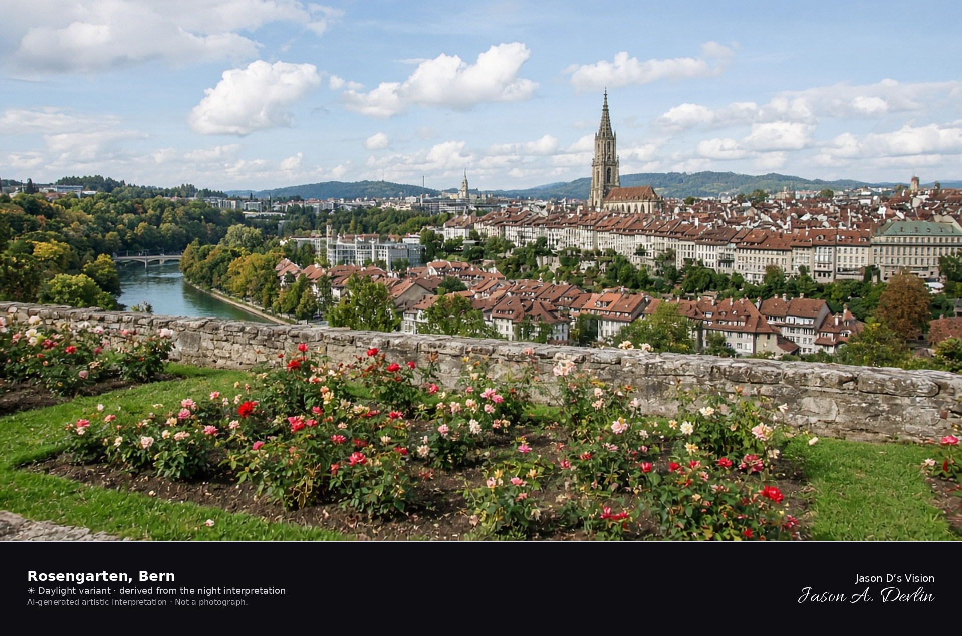
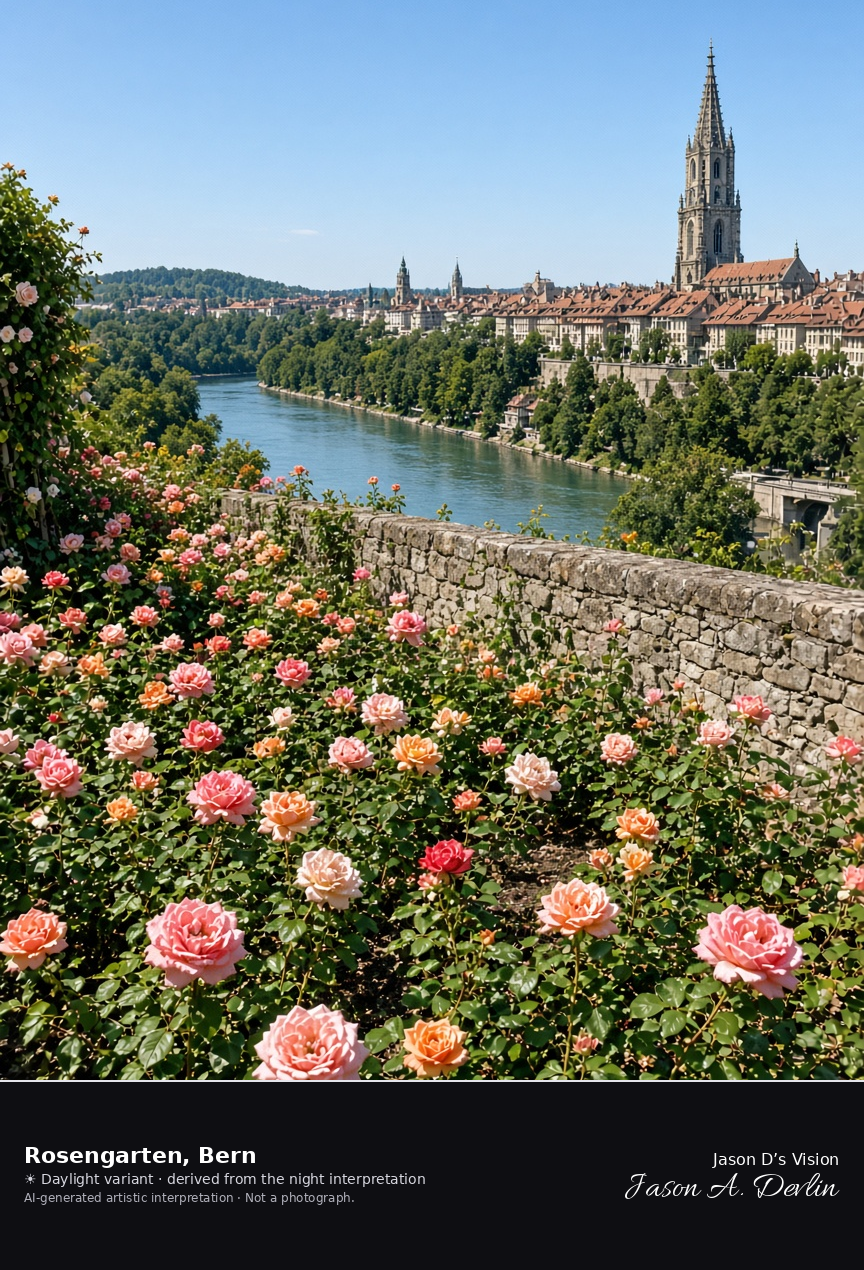
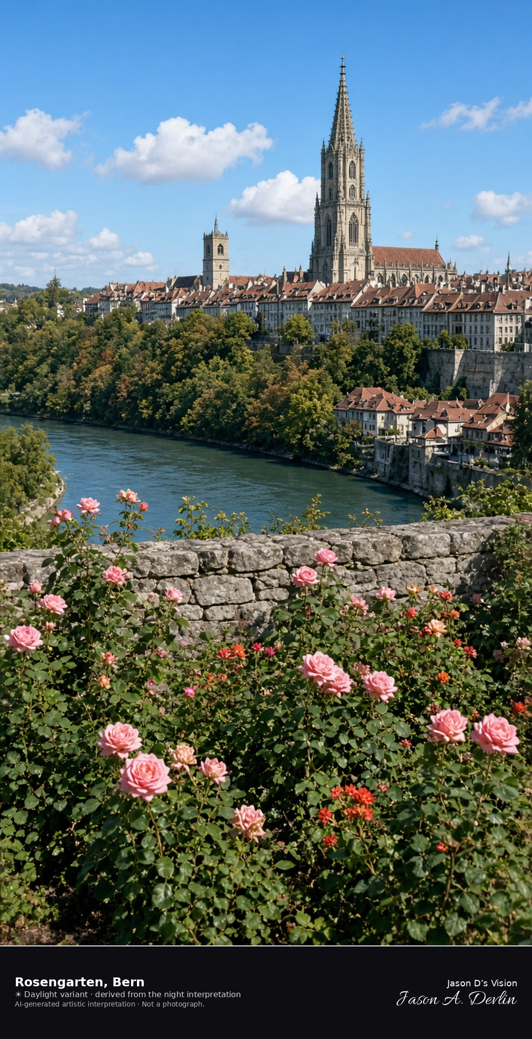
Rosengarten wall looking over the Aare bend and the minster · AI-generated artistic interpretation
The Rosengarten is the public garden above Bern’s old town, with lawns, late roses, and a view across the Aare bend to the minster and the roofs. September is past the main rose flush, so the beds are mixed bloom and spent flowers rather than a June display. The Open-Meteo model is overcast and mild, about 17°C, with a light breeze and no precipitation, and the sun is below the horizon.
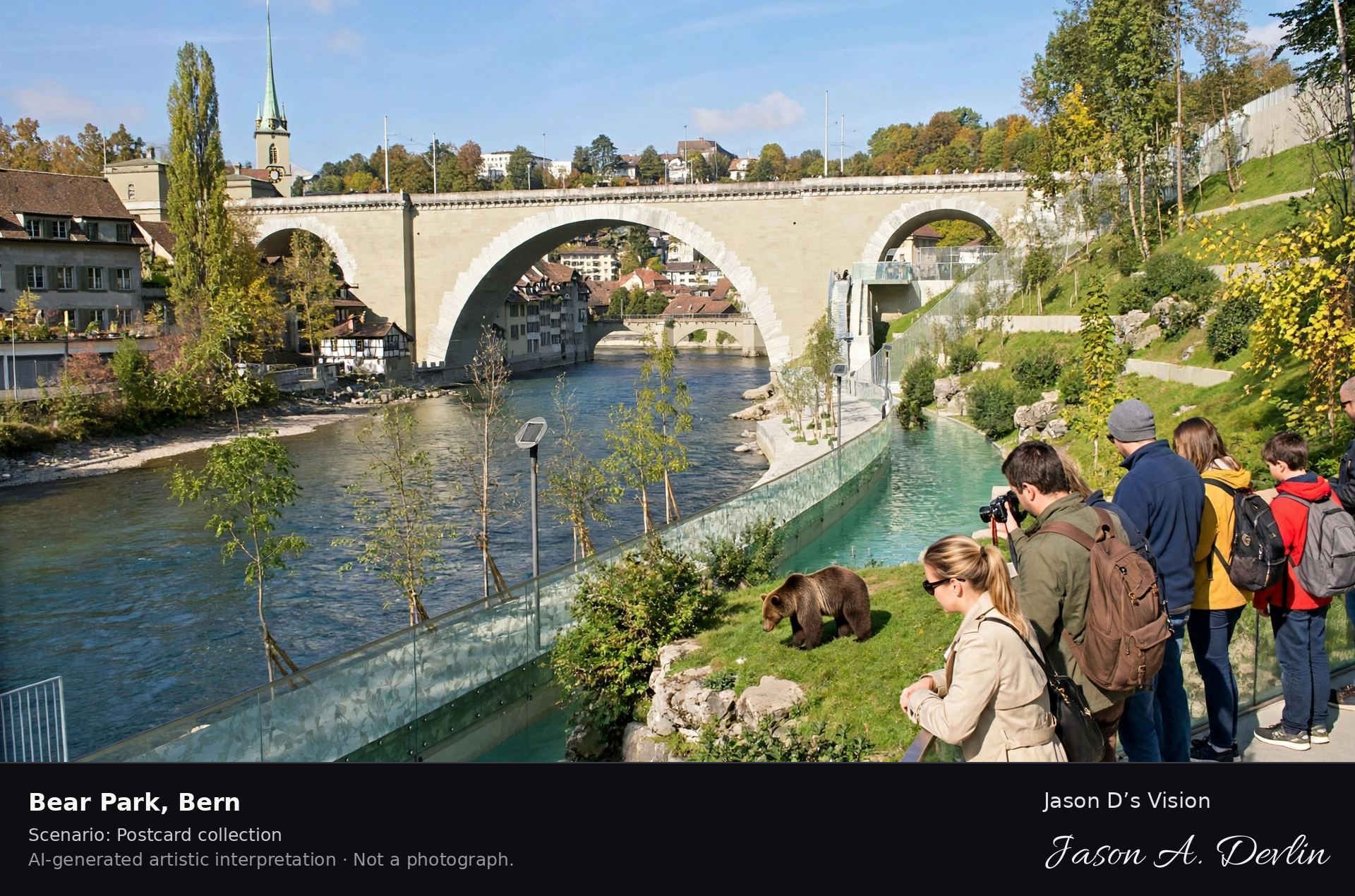
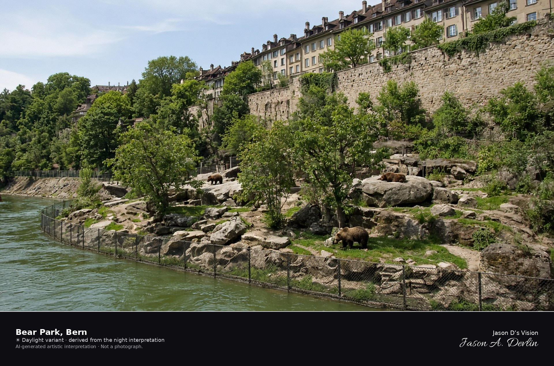
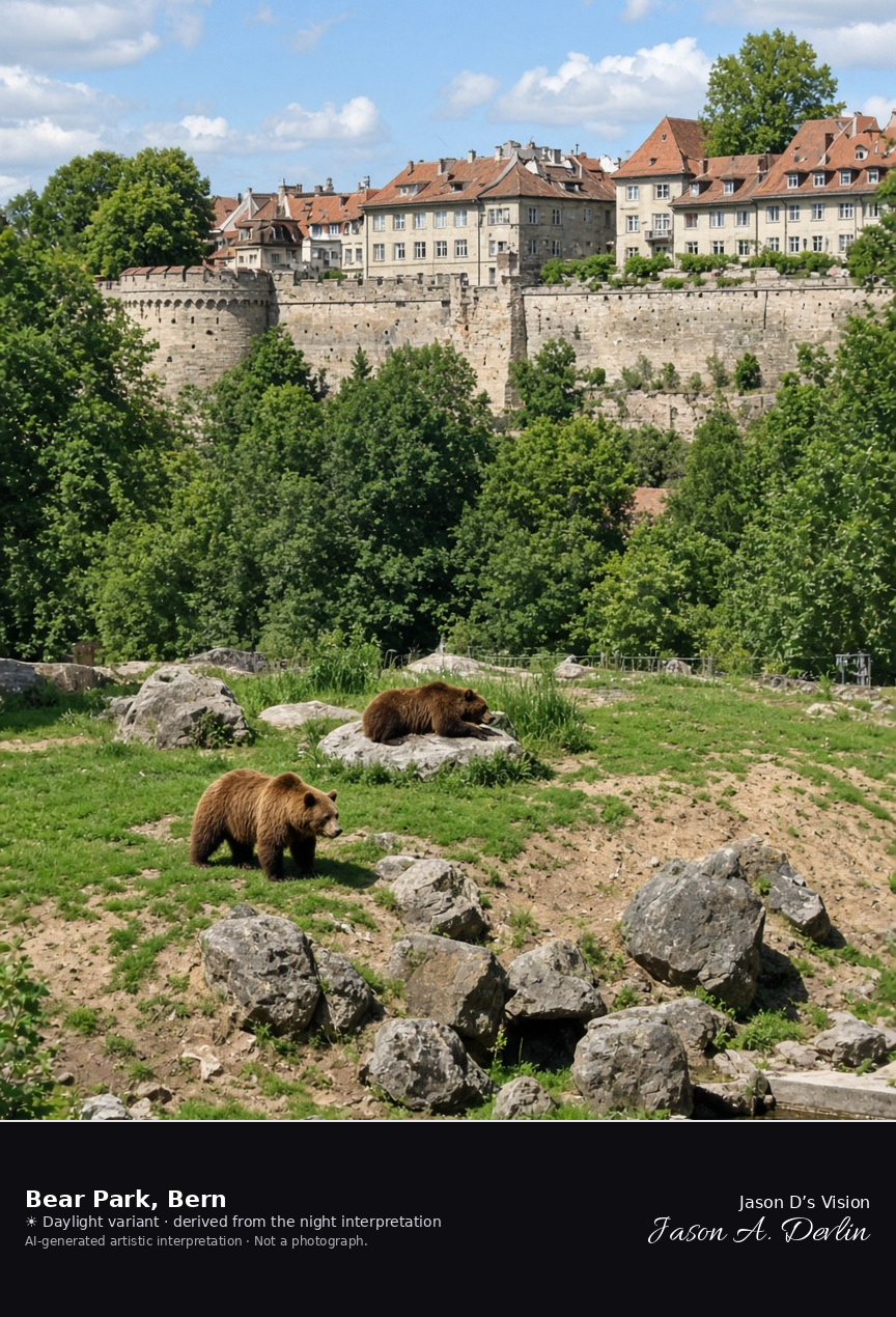
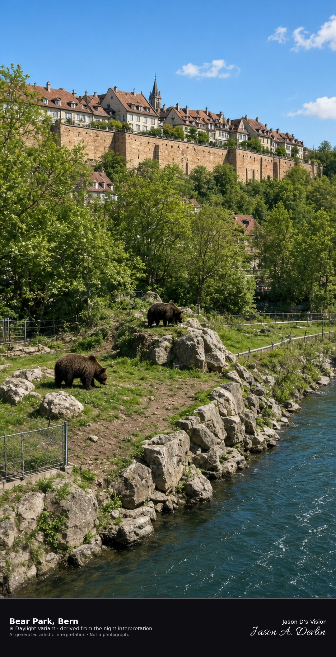
Bear Park enclosure on the Aare below Bern’s old town · AI-generated artistic interpretation
The Bear Park is the riverside enclosure on the Aare below Bern’s old town, on the slope that replaced the old bear pit in 2009. Brown bears are in the park, and the sandstone town wall stands above the trees. This is the enclosure, not the Nydegg Bridge. The Open-Meteo model is overcast and mild, about 17°C, with almost no wind and no precipitation, and the sun is below the horizon.
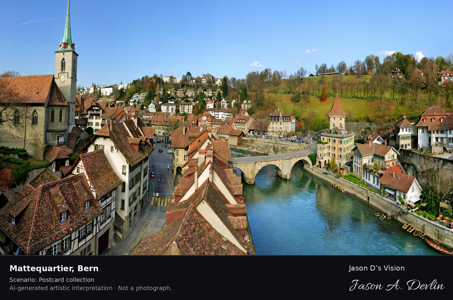
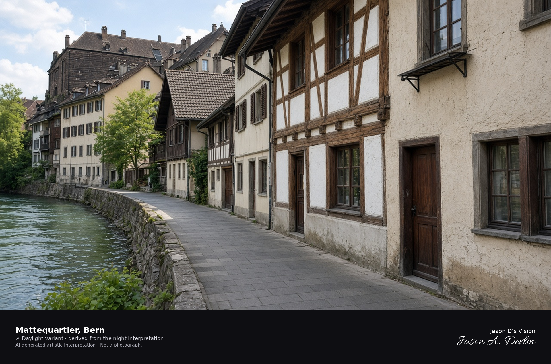
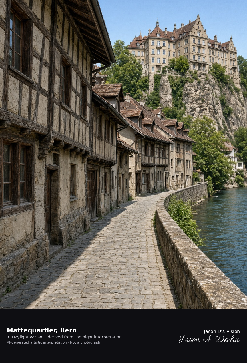
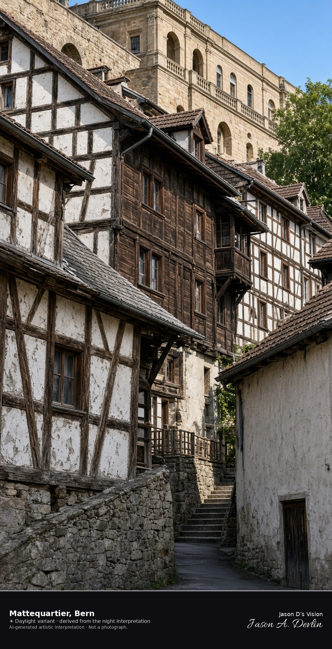
Half-timbered Matte lane along the Aare under the old town · AI-generated artistic interpretation
The Matte is the half-timbered quarter on the Aare at the foot of Bern’s old town, about forty metres below the upper streets. Narrow lanes and wooden houses follow the river, and the high town is only a dark edge above the roofs. This is the riverside quarter, not the Nydegg Bridge and not the Zytglogge. The Open-Meteo model is overcast and mild, about 17°C, with almost no wind and no precipitation, and the sun is below the horizon.
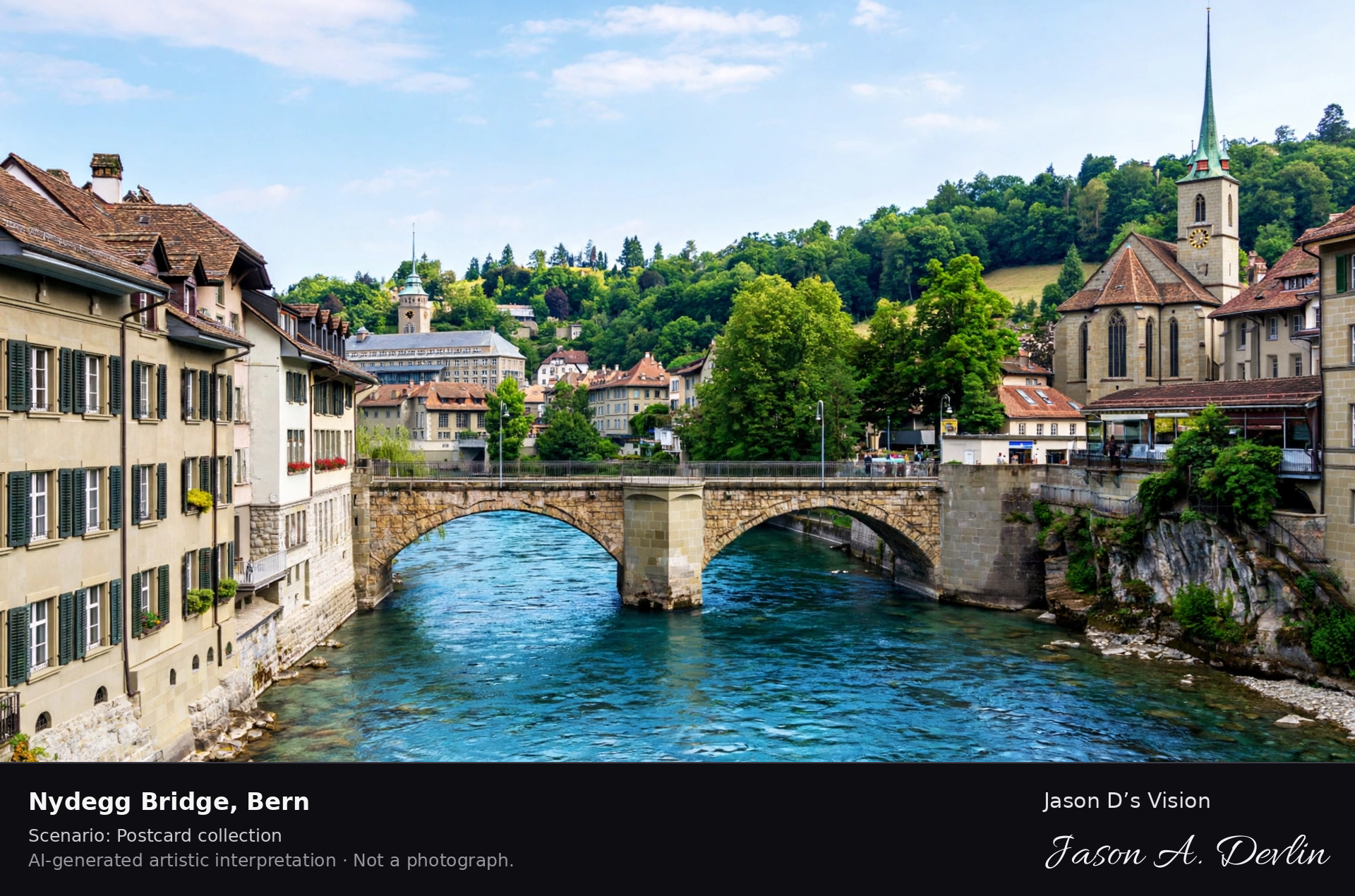
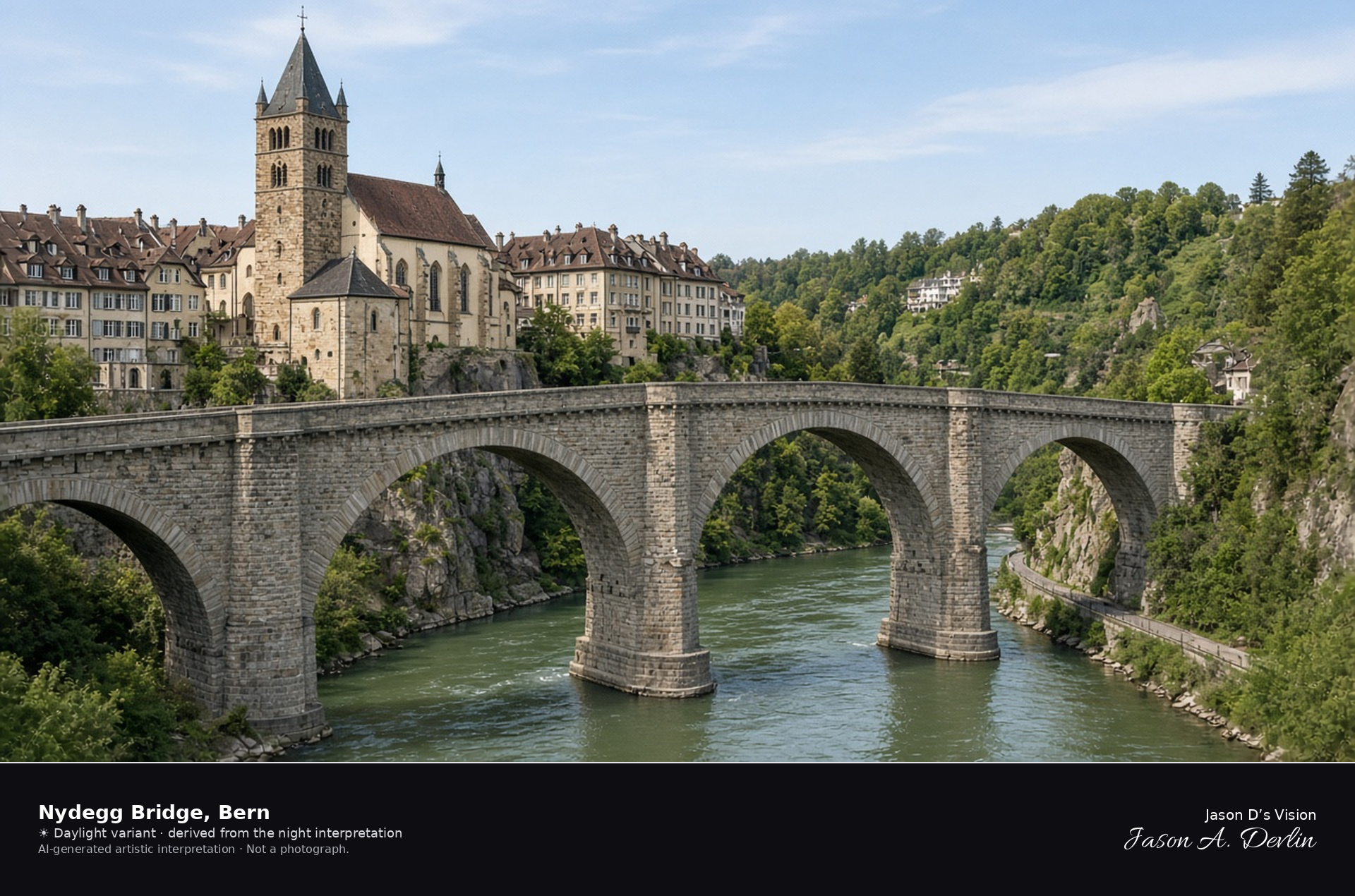
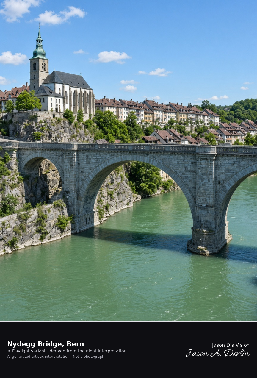
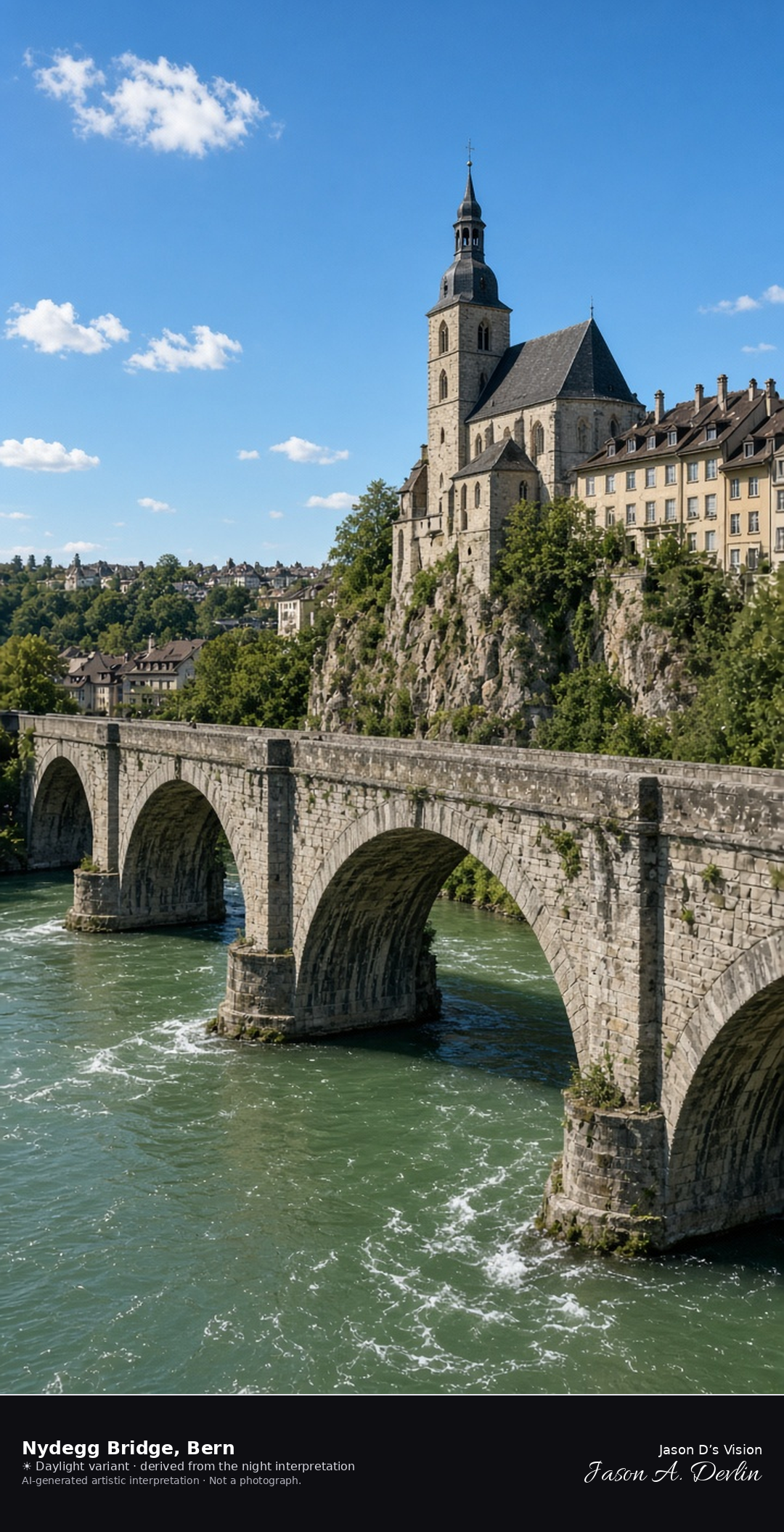
Nydegg Bridge and Nydegg church above the Aare · AI-generated artistic interpretation
The Nydegg Bridge is the three-arch freestone bridge of 1840 to 1844, about 25 metres above the Aare, with the Nydegg church at the old-town end. The central arch is the long span, clad in blue-grey sandstone. The bear enclosure lies below the bridge and is not the subject. The Open-Meteo model is overcast and mild, about 17°C, with almost no wind and no precipitation, and the sun is below the horizon.
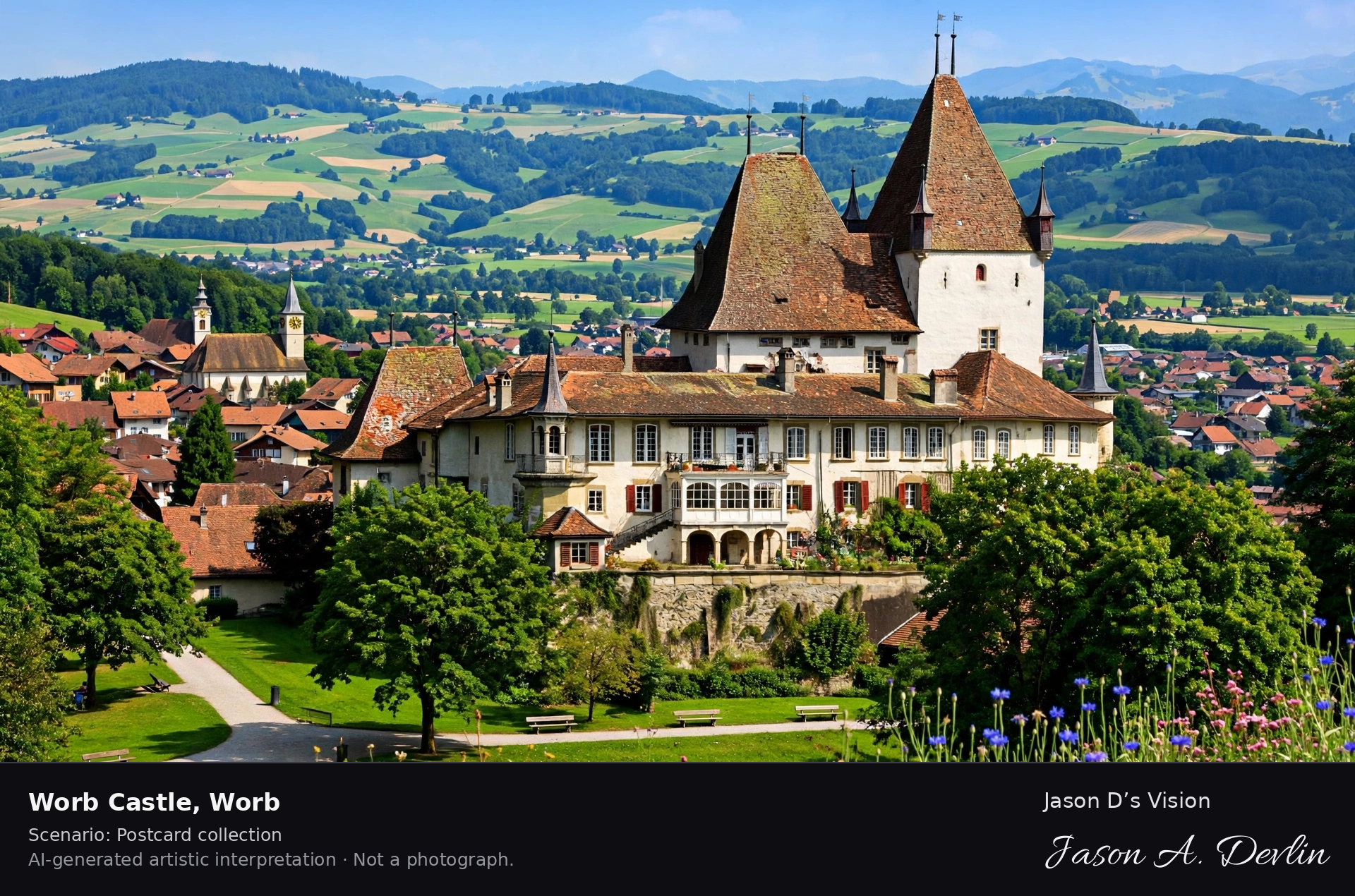
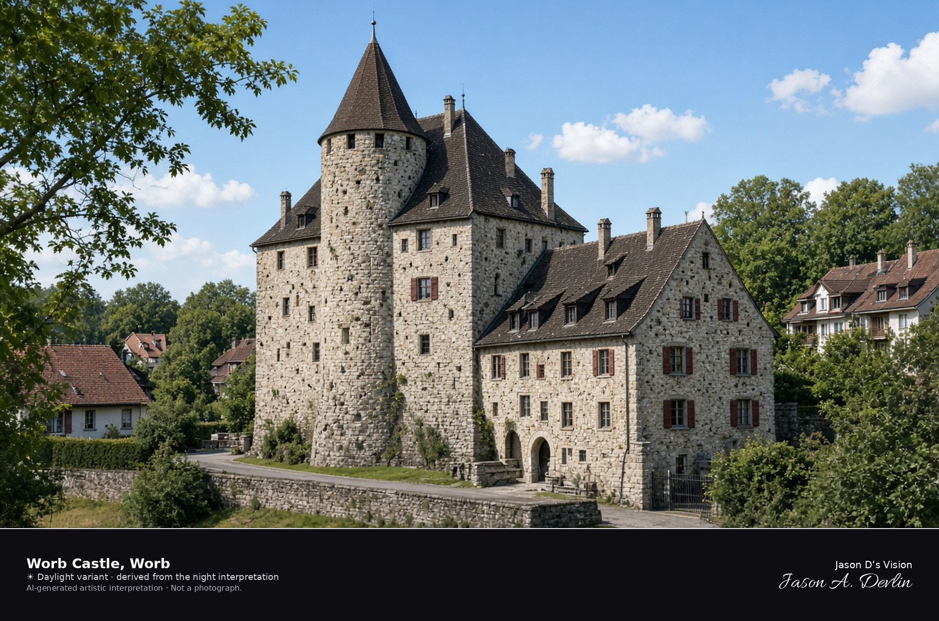
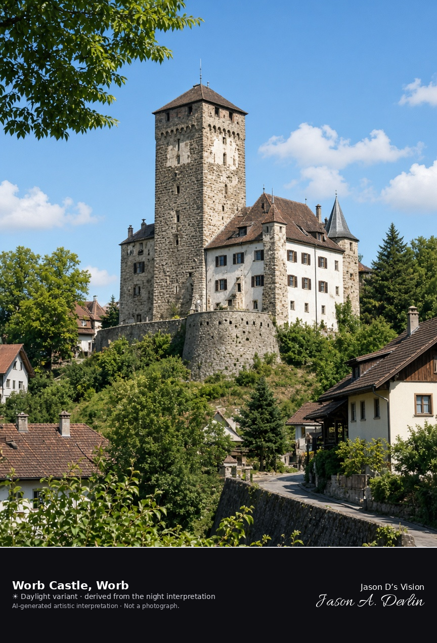
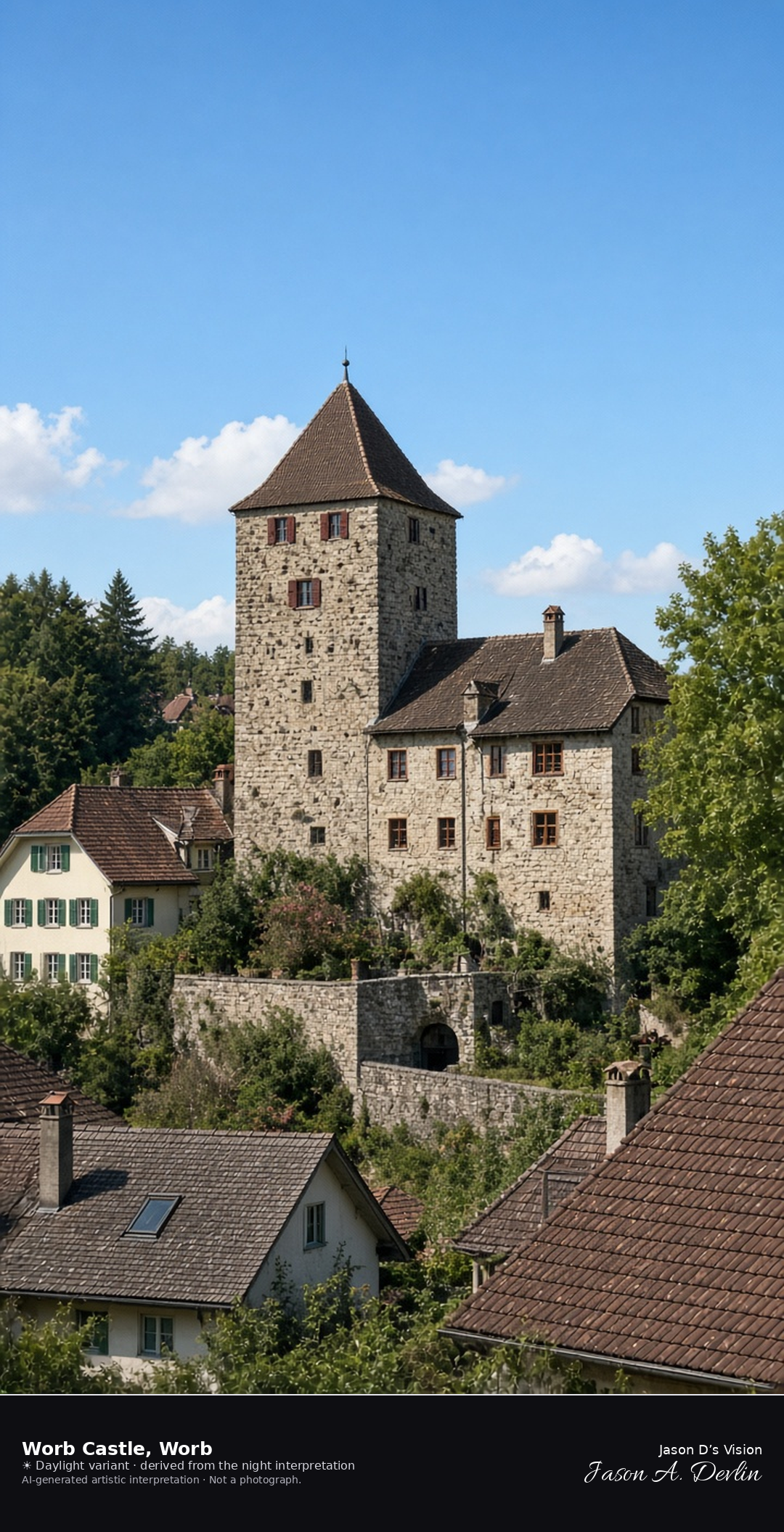
Medieval Worb Castle in the village · AI-generated artistic interpretation
Worb Castle is the medieval seat in the village of Worb, with a stone core from before 1130 and later residential wings, including the wing of 1643. The baroque Neuschloss of 1734 stands nearby and is not this building. The Open-Meteo model is overcast and cool, about 14°C, with a moderate breeze and no precipitation, and the sun is below the horizon.
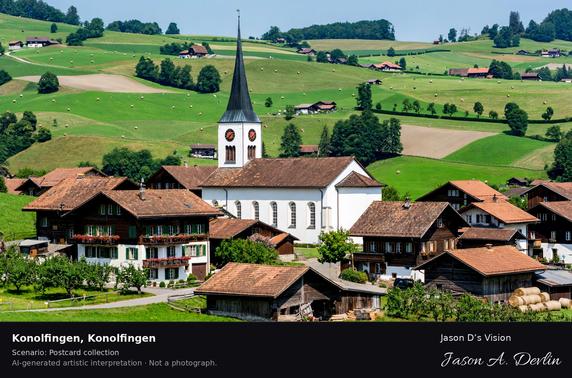
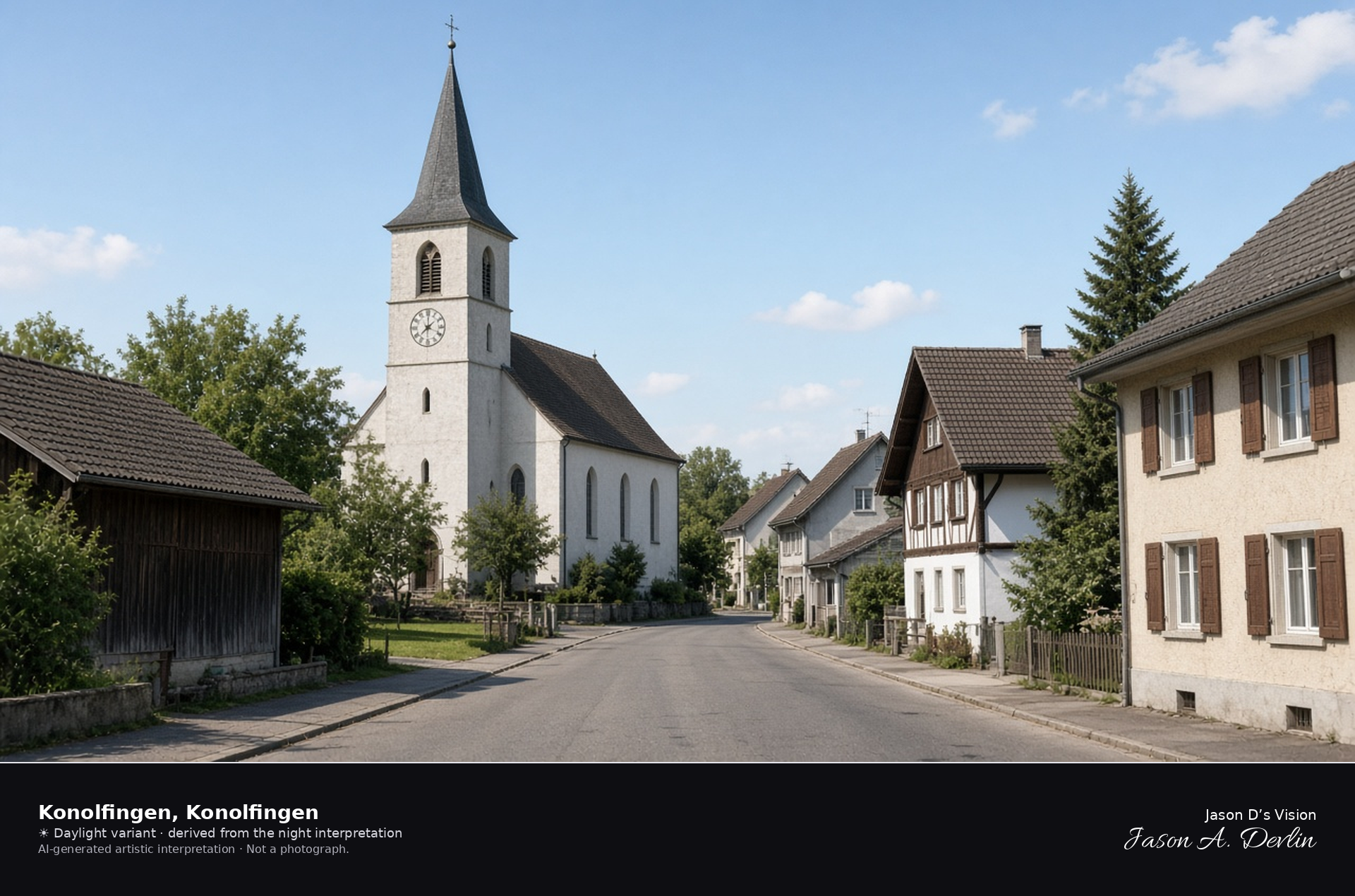
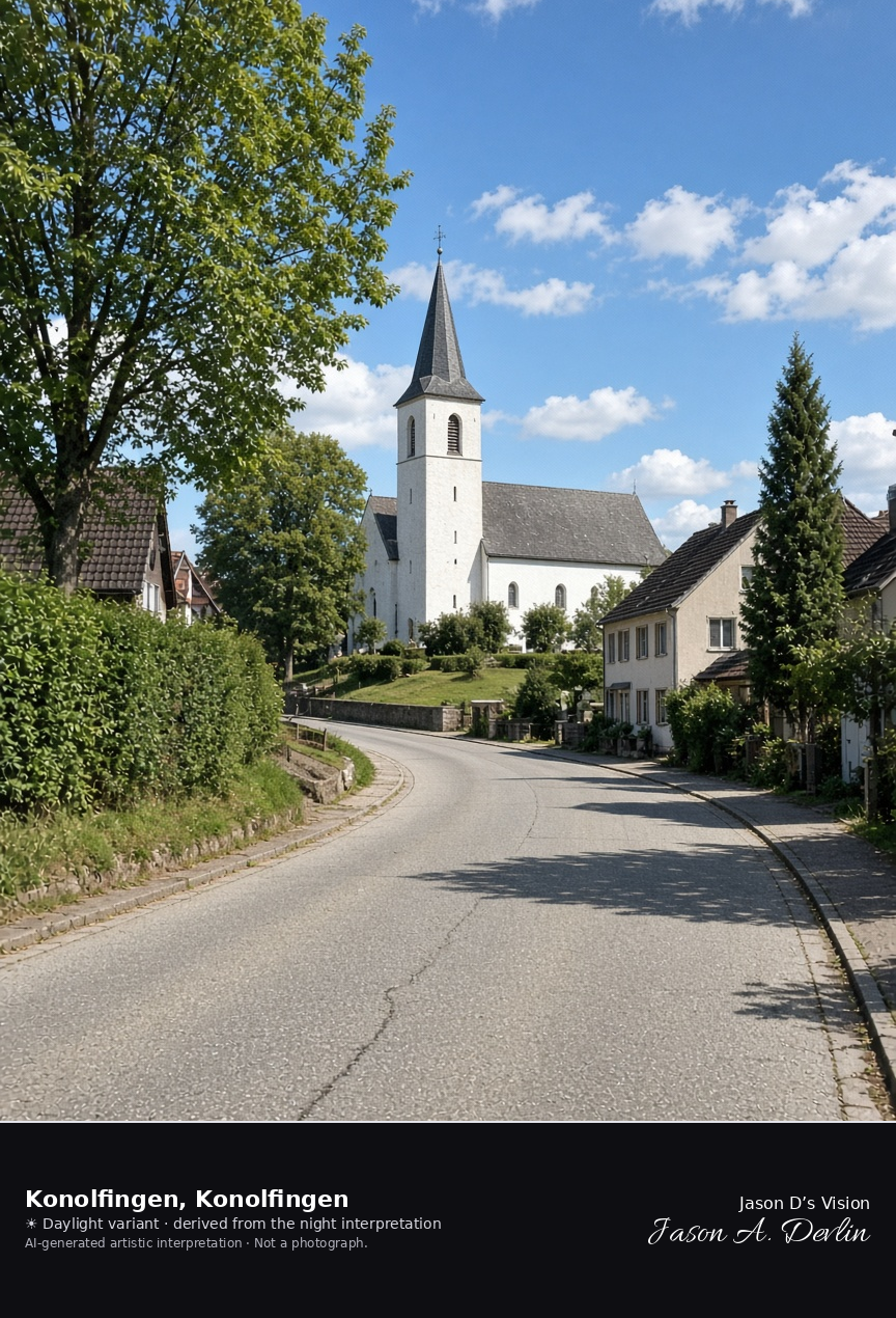
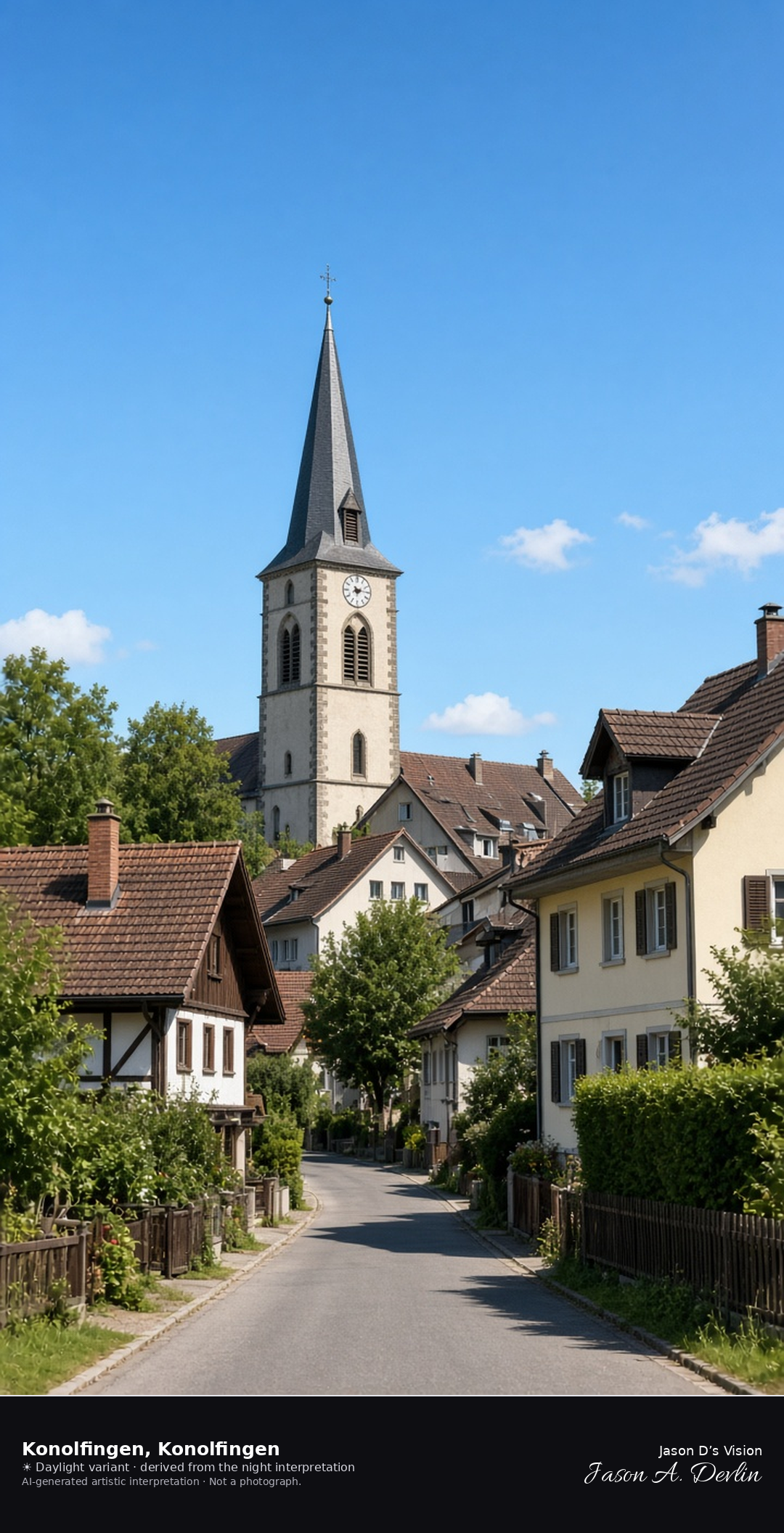
Konolfingen village street and reformed church · AI-generated artistic interpretation
Konolfingen is the station village at the edge of the Emmental, formed in 1933 from Gysenstein and Stalden, with the reformed church of the parish that took this name in 1912. The frame is the village street and the church, not Schloss Hünigen. The Open-Meteo model is overcast and cool, about 14°C, with a breeze and no precipitation, and the sun is below the horizon.
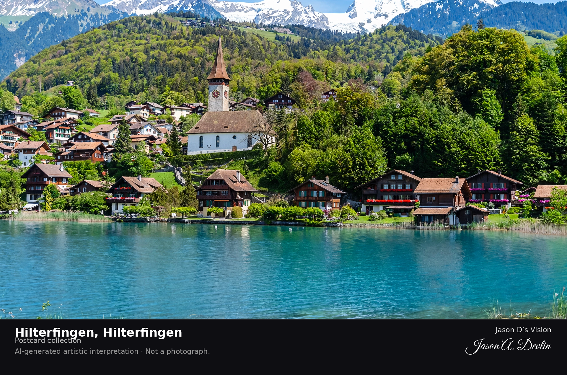
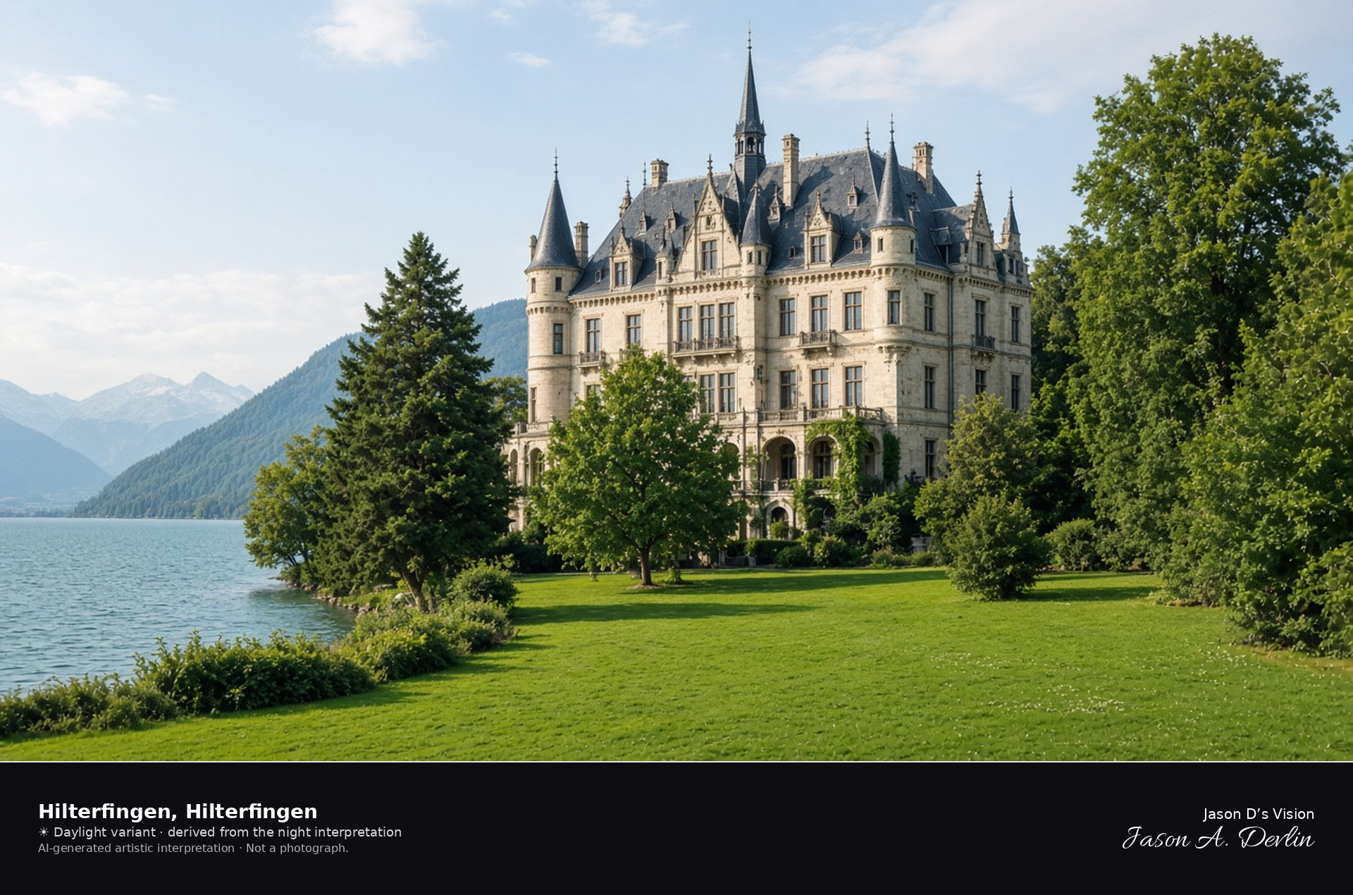
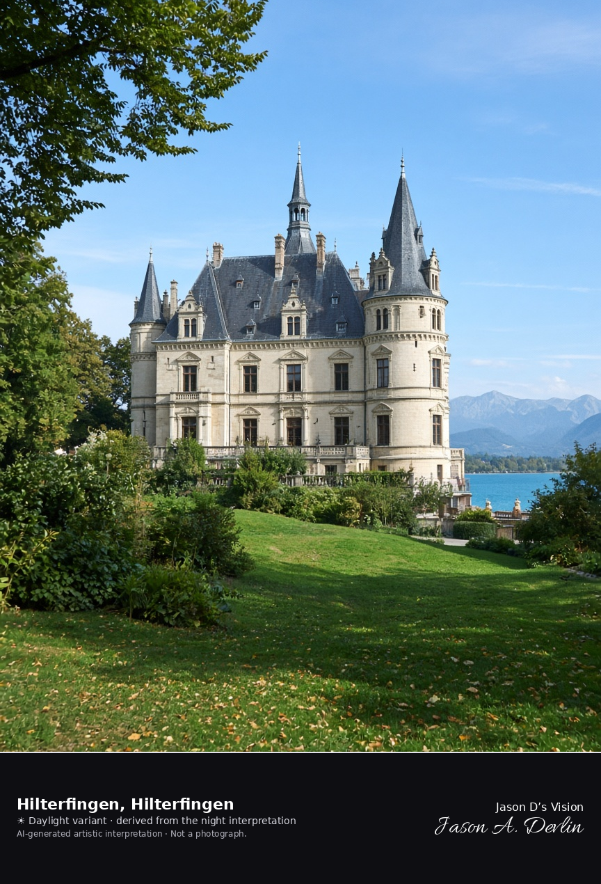
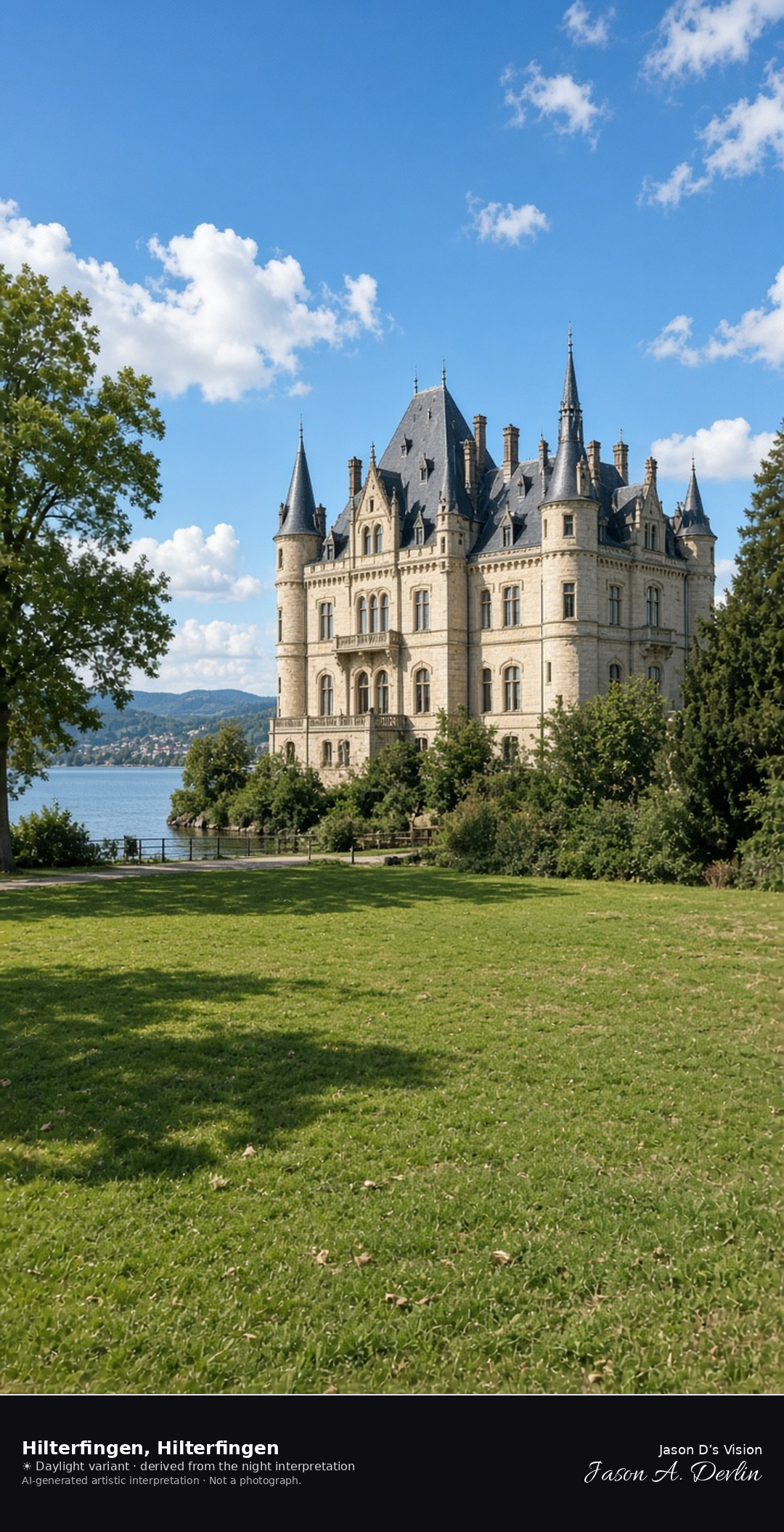
Schloss Hünegg in its park on Lake Thun at Hilterfingen · AI-generated artistic interpretation
Hilterfingen lies on the north shore of Lake Thun, and Schloss Hünegg, built from 1861 to 1863 in a Loire-inspired historicist form, stands in its park at the water. This scene replaces the Schlossberg path in Thun, which is the hill of Thun Castle. The Open-Meteo model is overcast and mild, about 18°C, with a light breeze and no precipitation, and the sun is below the horizon.
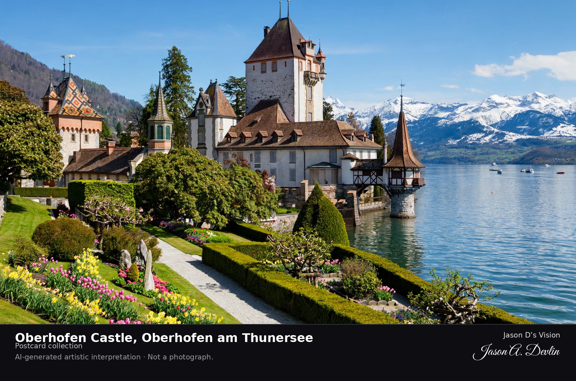
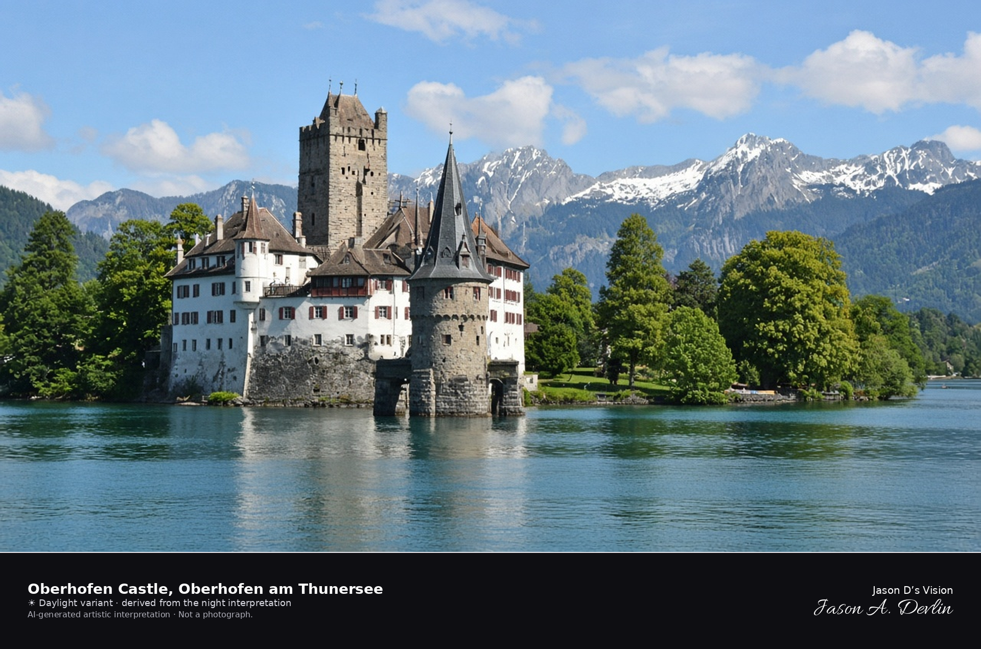
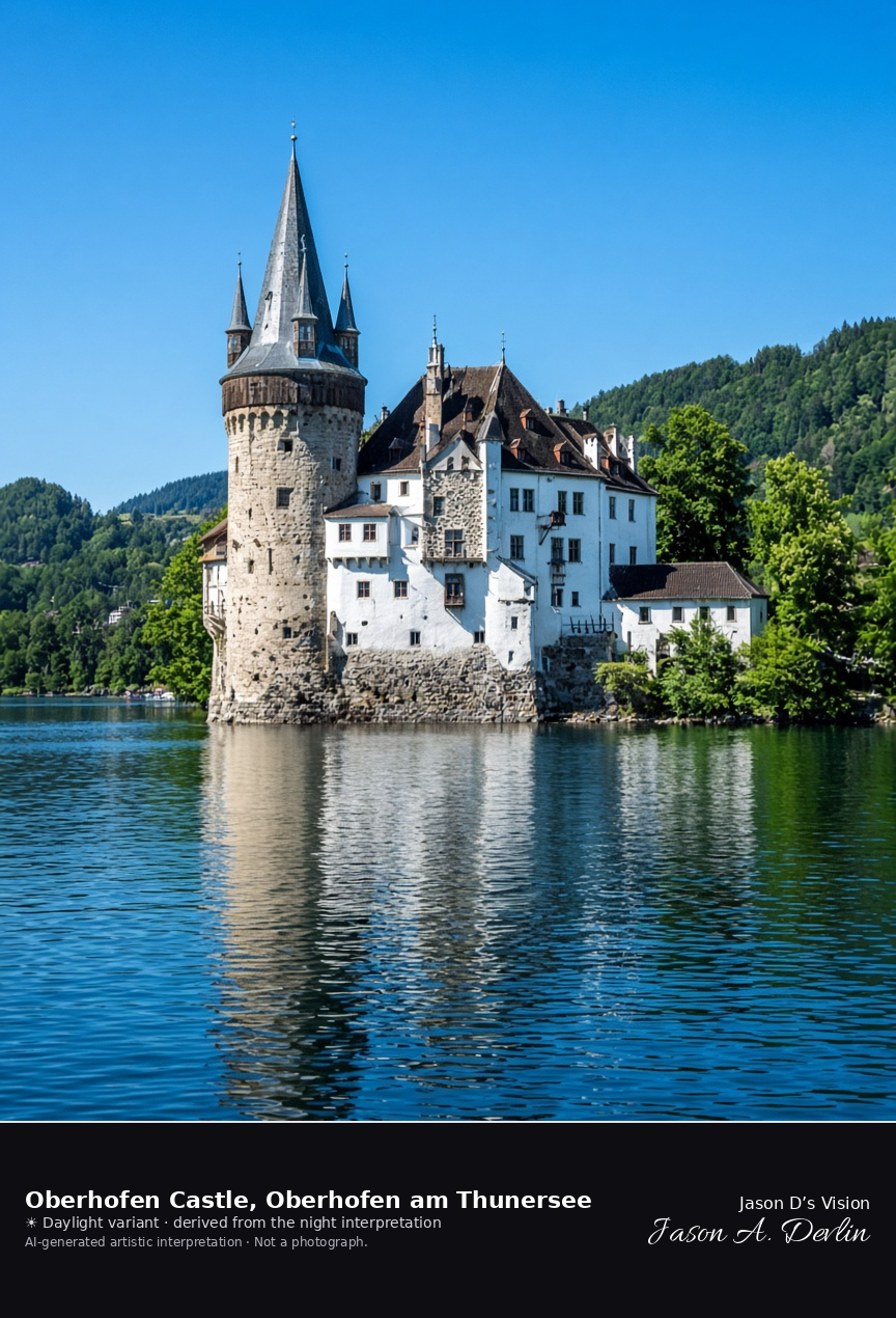
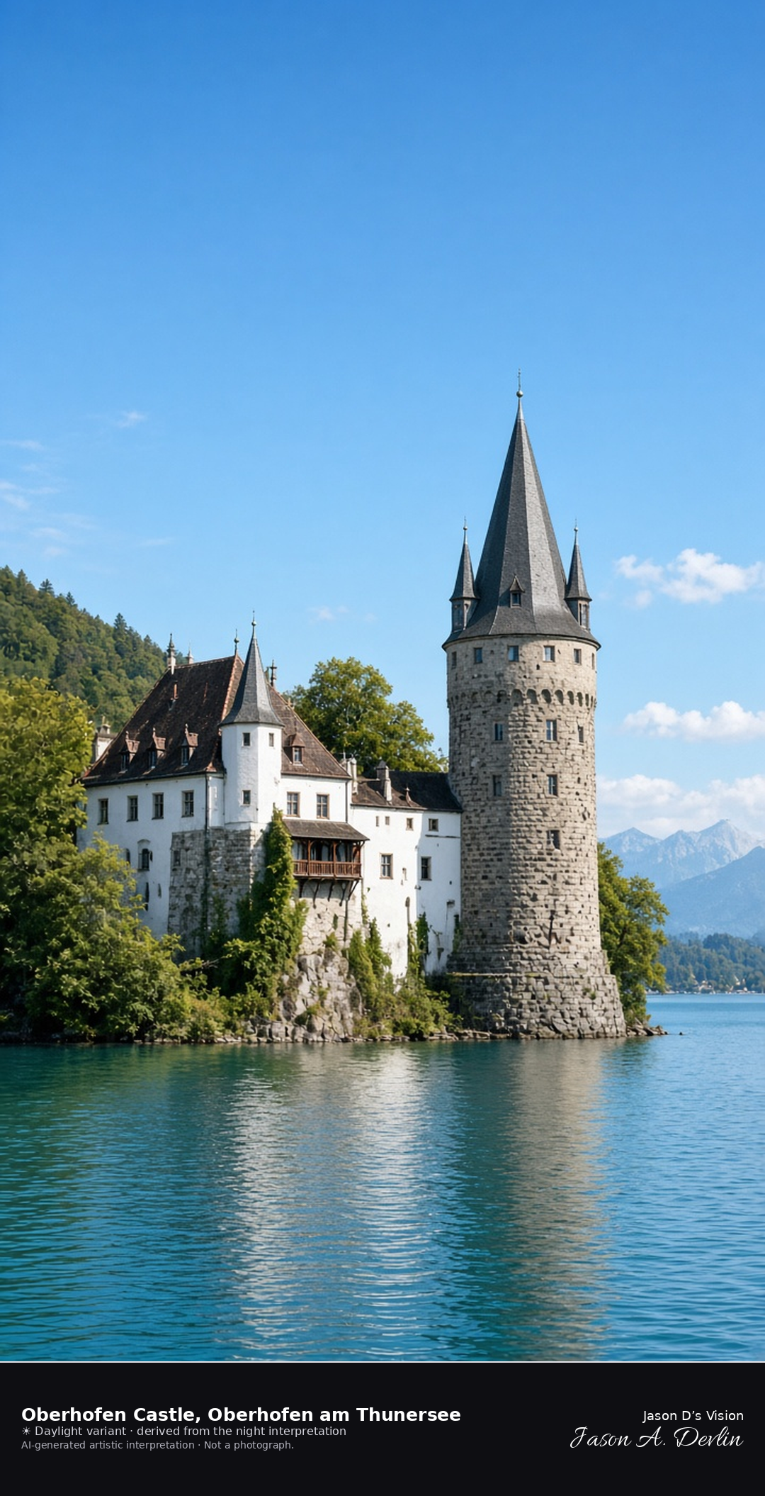
Oberhofen Castle and its water tower on Lake Thun · AI-generated artistic interpretation
Oberhofen Castle stands in the water of Lake Thun, in the municipality of Oberhofen am Thunersee, with a medieval keep and a water tower capped by a spire. The romantic lakeside form is the nineteenth-century rebuilding around the old keep. It is not Thun Castle, not Spiez Castle, and not Schloss Hünegg. The Open-Meteo model is overcast and mild, about 17°C, with a breeze and no precipitation, and the sun is below the horizon.
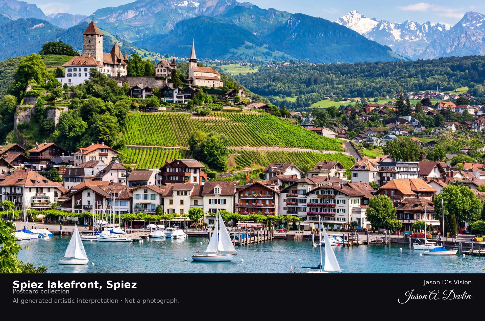
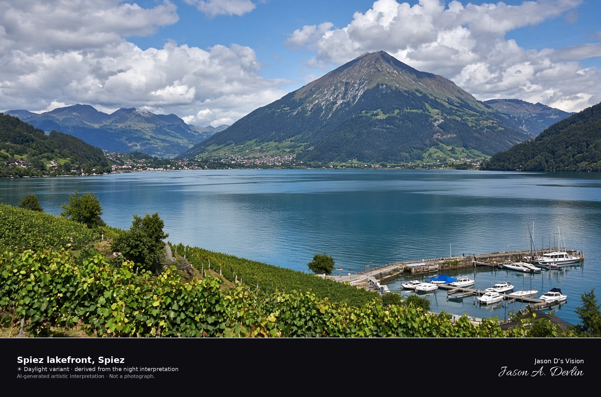
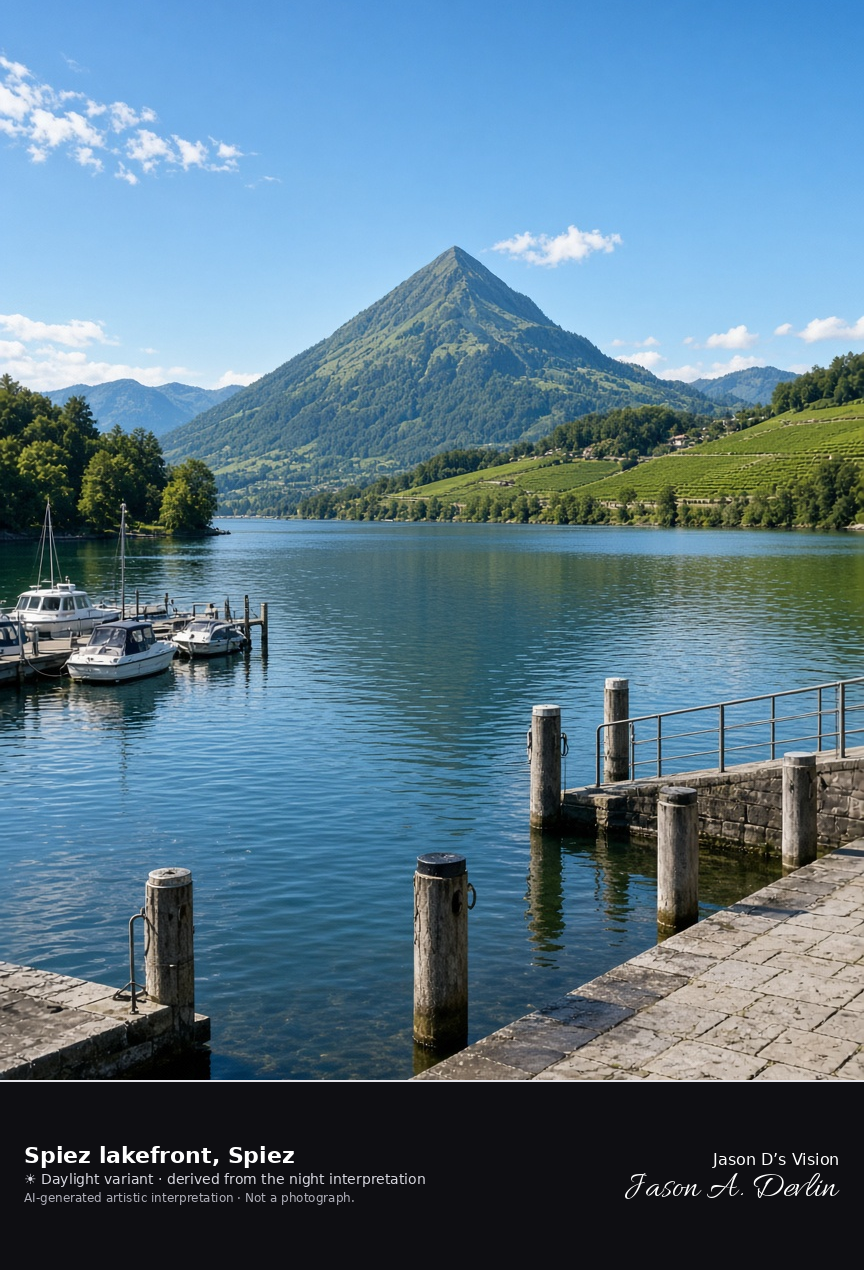
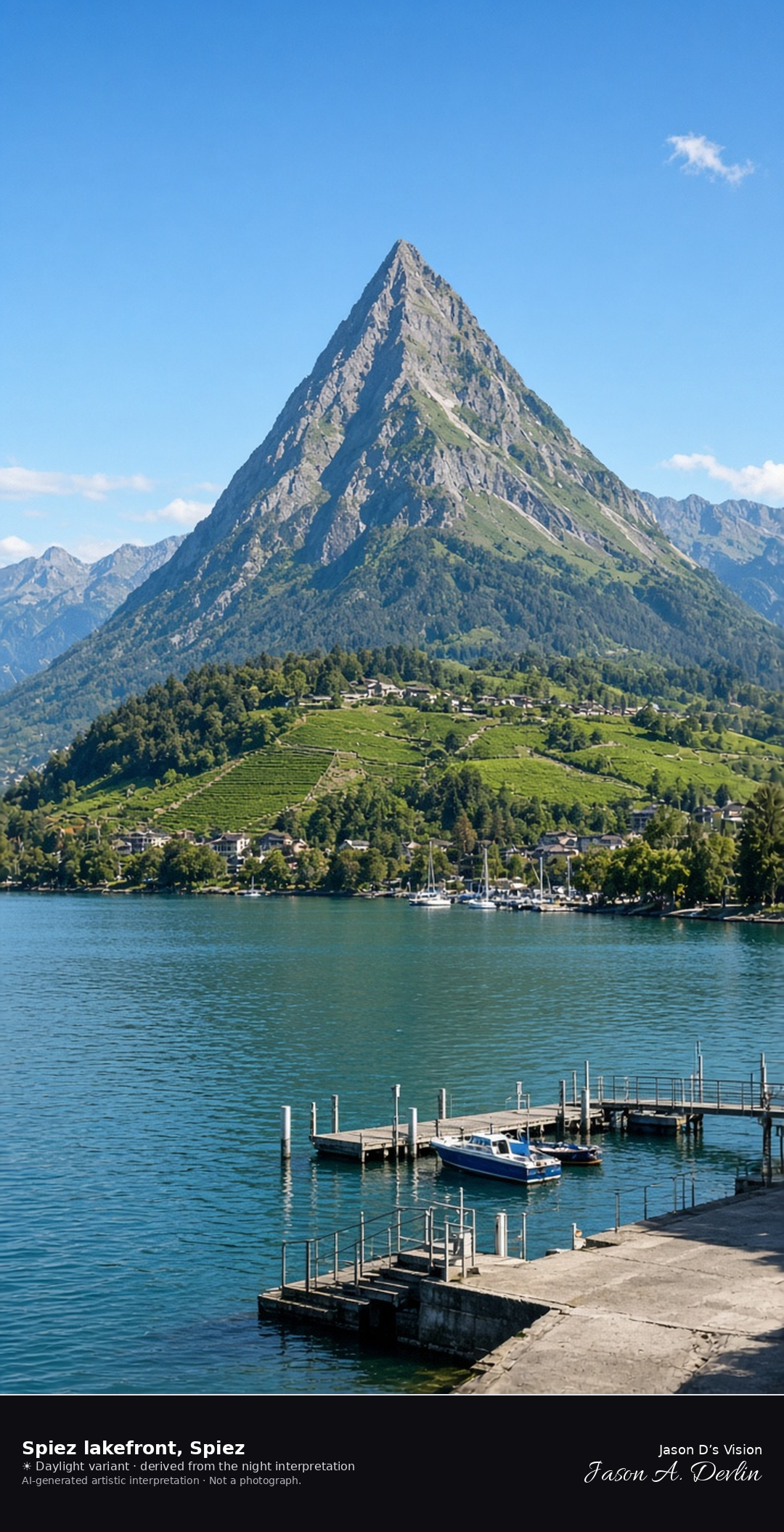
Spiez quay looking across Lake Thun toward the Niesen · AI-generated artistic interpretation
The public quay at Spiez looks across the bay of Lake Thun toward the pyramid of the Niesen, with vineyards on the slope and small boats at the landing. Spiez Castle stays out of this frame, so the shore is not the castle portrait. The Open-Meteo model is partly cloudy, with cloud cover near nine-tenths, mild air near 16°C, a breeze, and no precipitation, and the sun is below the horizon.
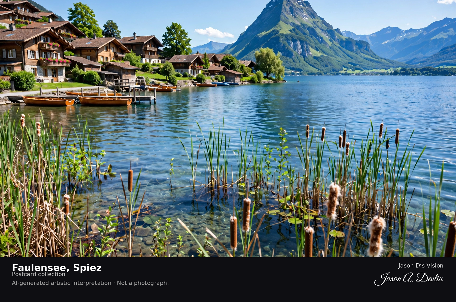
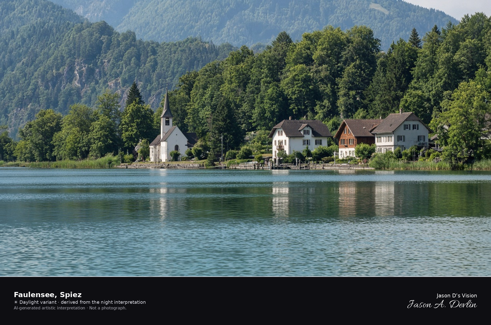
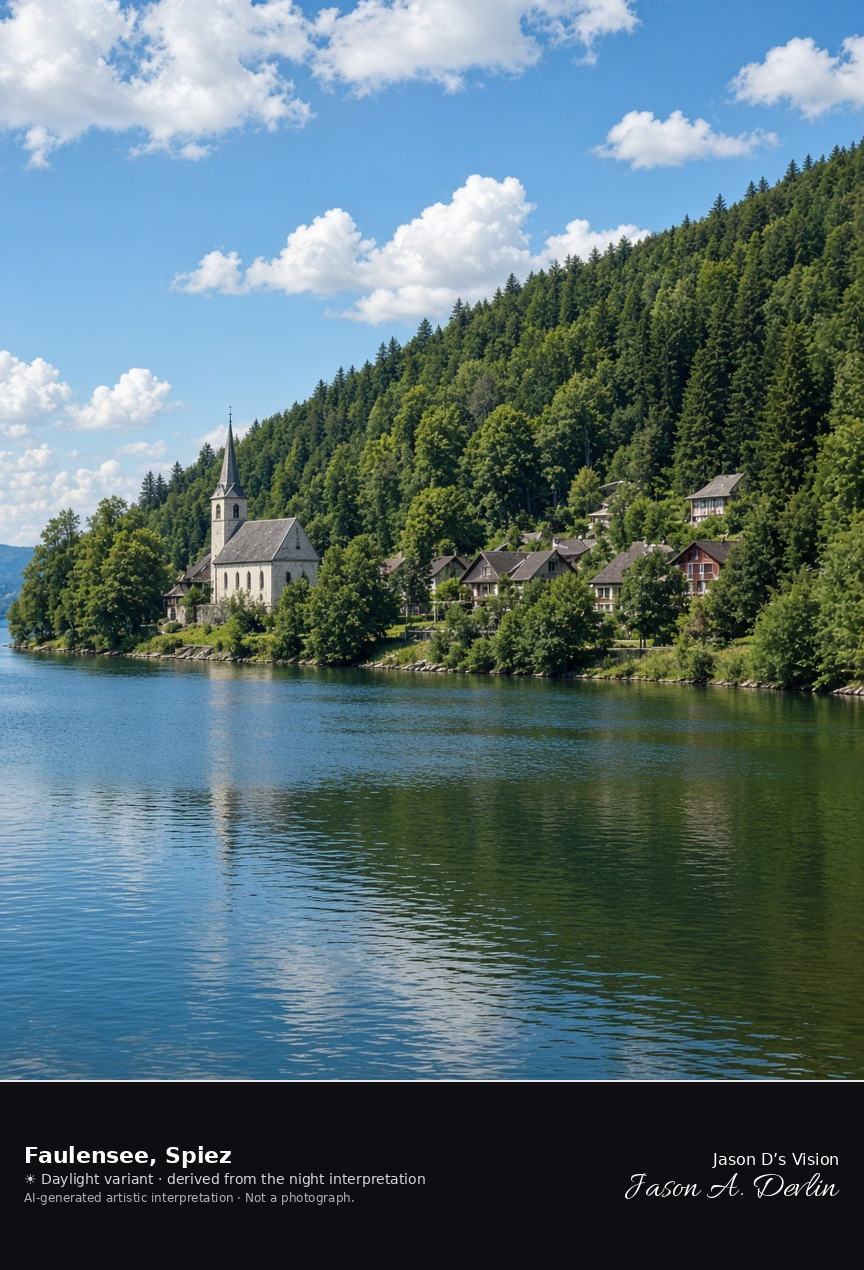
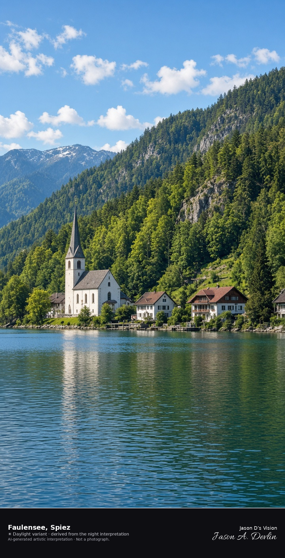
Faulensee church and shore on Lake Thun · AI-generated artistic interpretation
Faulensee is the small lakeside settlement east of Spiez, in the same municipality, with a short shore, a church, and houses between the water and the woods. It is not the castle bay and not the Spiez quay. The Open-Meteo model is partly cloudy, with cloud cover near nine-tenths, mild air near 16°C, a breeze, and no precipitation, and the sun is below the horizon.
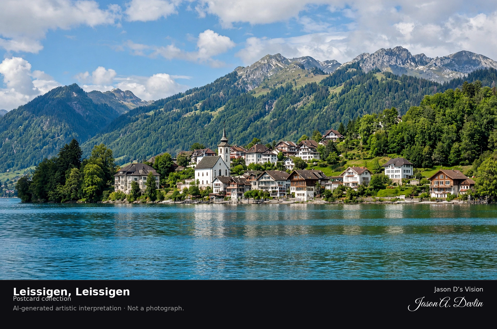
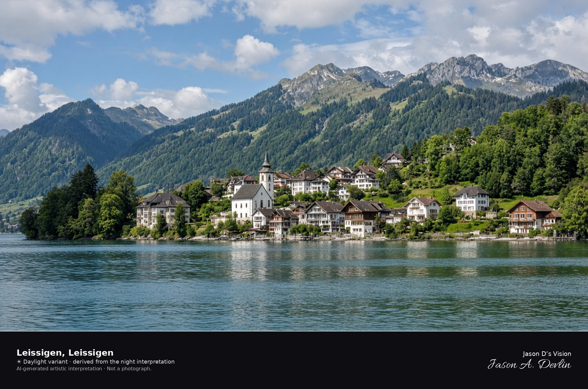
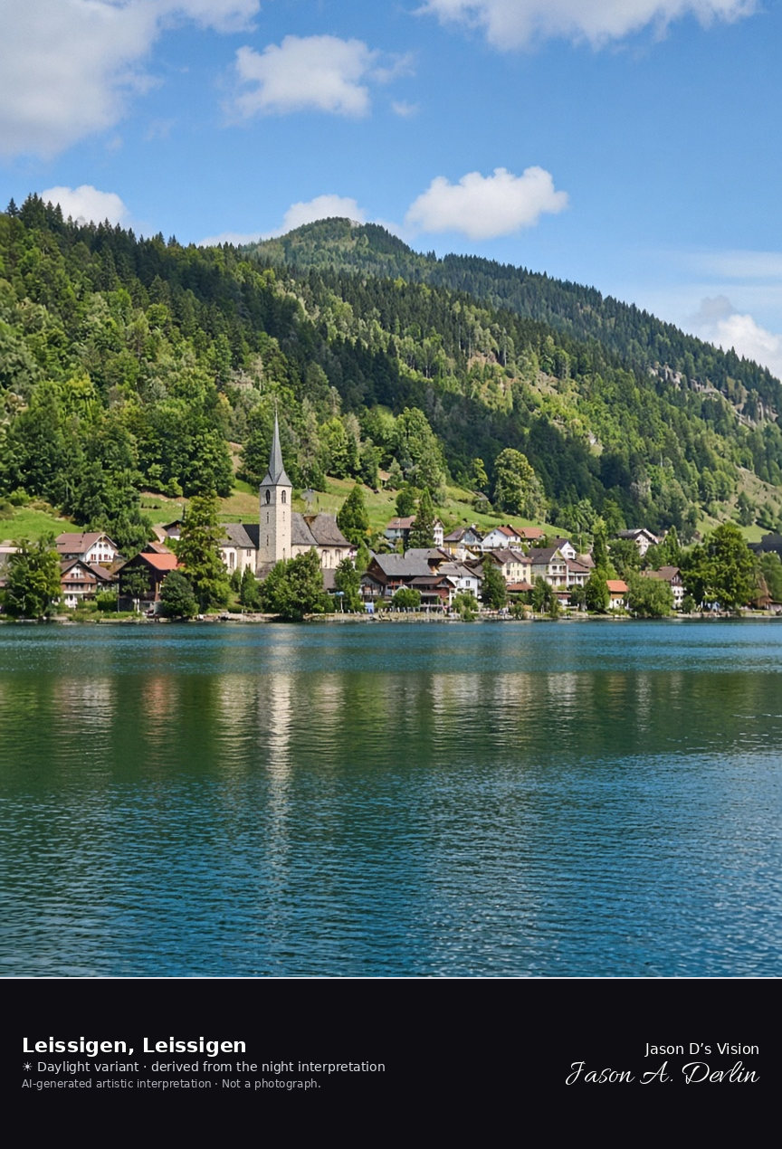
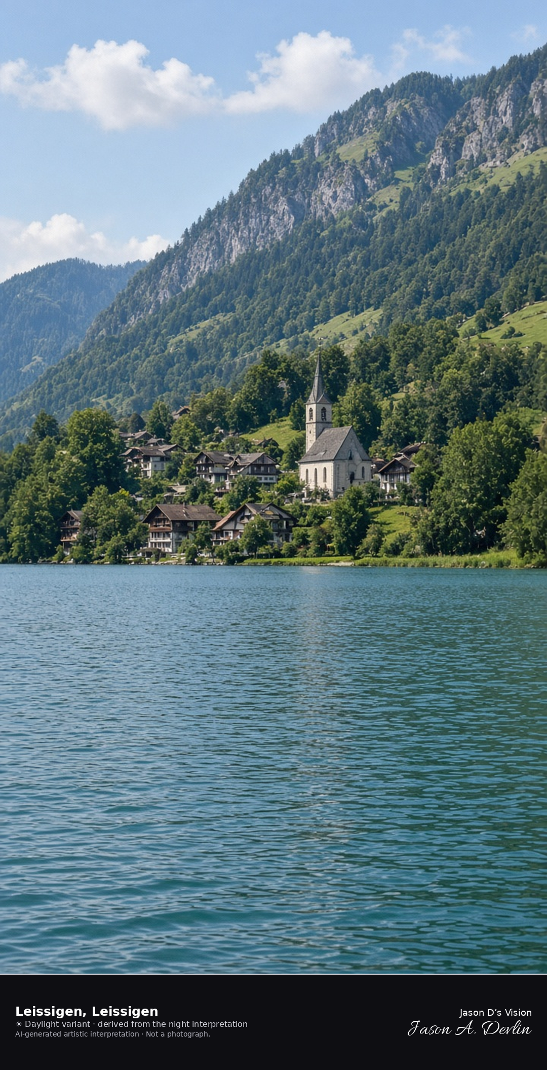
Leissigen church and houses on the south shore of Lake Thun · AI-generated artistic interpretation
Leissigen is the village on the south shore of Lake Thun, gathered by the church rebuilt after the fire of 1675, with the lake in front and wooded slopes behind. The Morgenberghorn is not the subject. The Open-Meteo model is partly cloudy, with cloud cover a little above half, mild air near 17°C, a breeze, and no precipitation, and the sun is below the horizon.
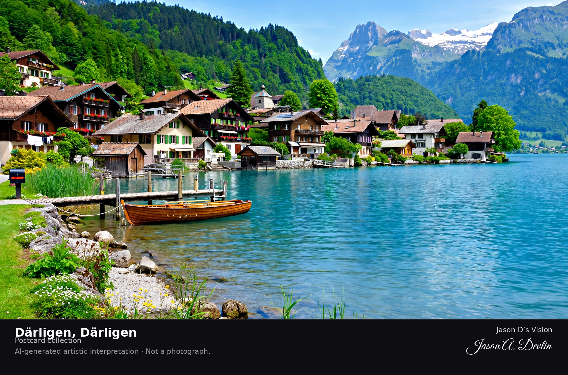
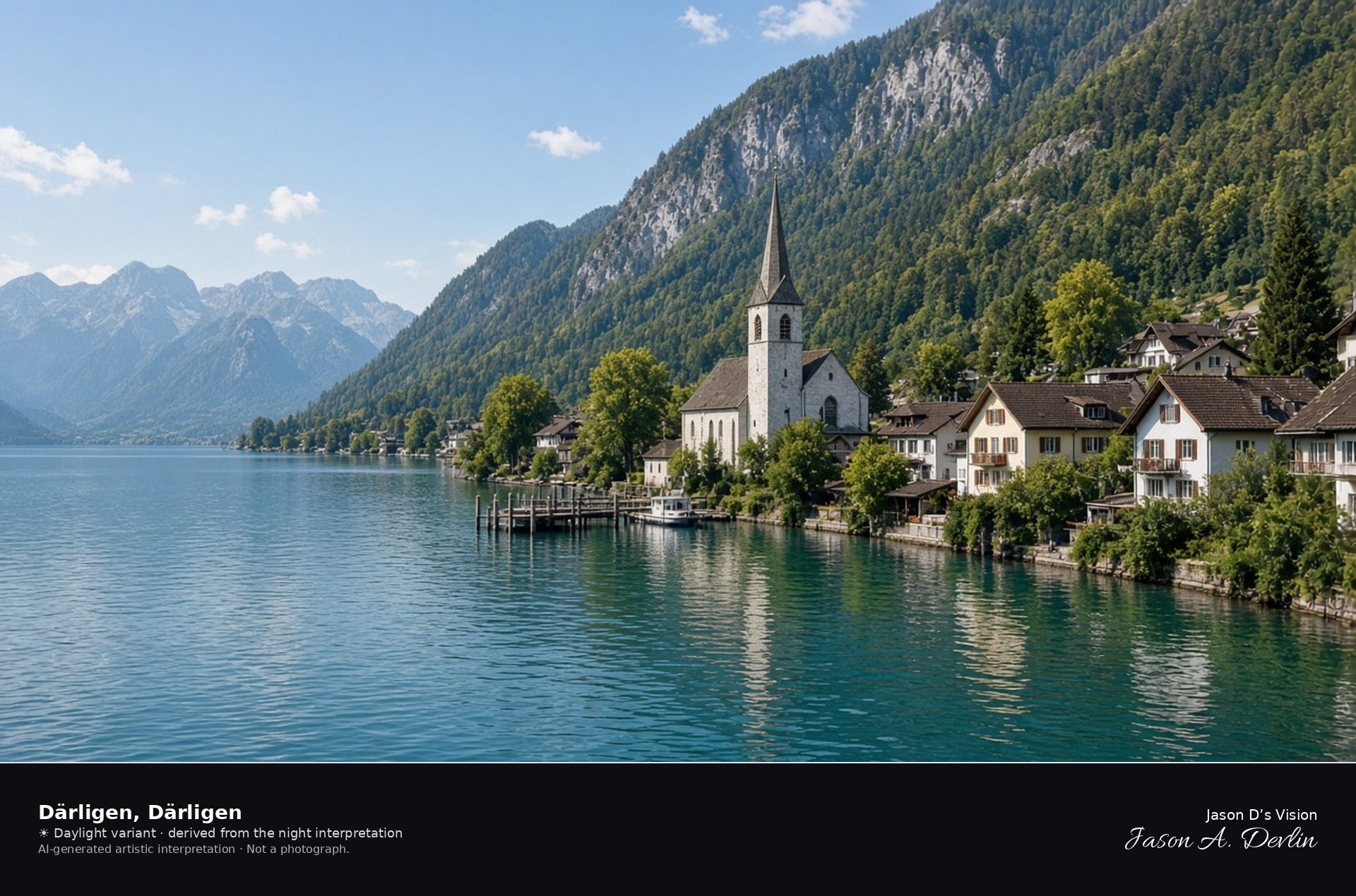
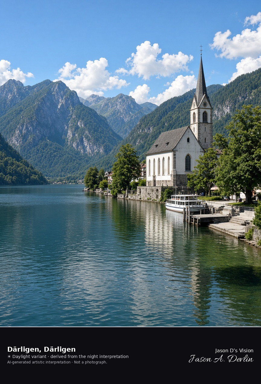
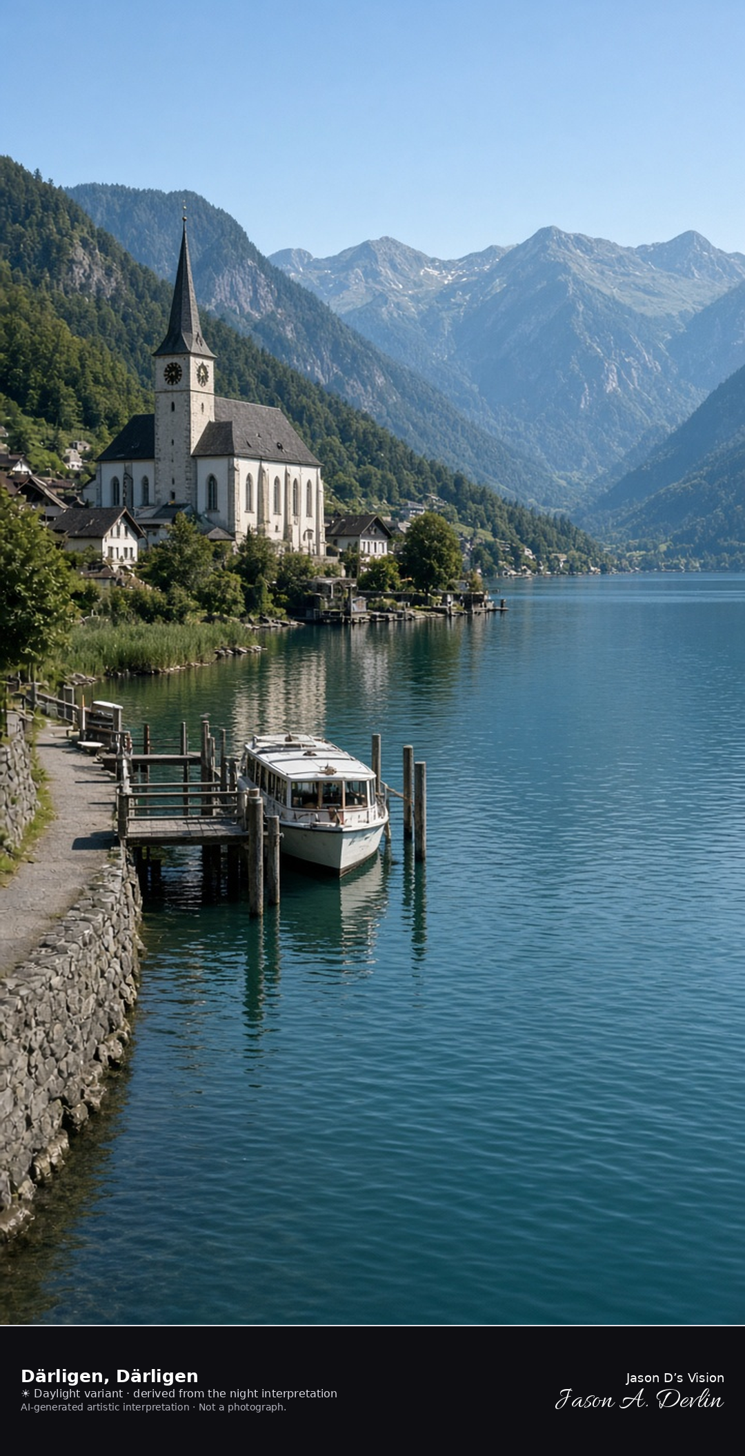
Därligen church and landing at the eastern end of Lake Thun · AI-generated artistic interpretation
Därligen is the village at the eastern end of Lake Thun, where the shore narrows toward the Interlaken ship canal, with the church and the landing by the water. It is its own municipality, not a quarter of Interlaken. The Open-Meteo model is overcast and mild, about 18°C, with little wind and no precipitation, and the sun is below the horizon.
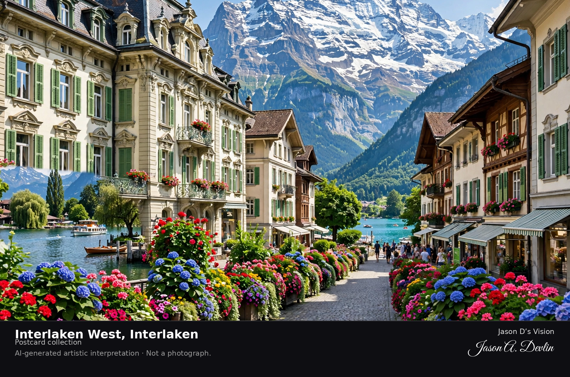
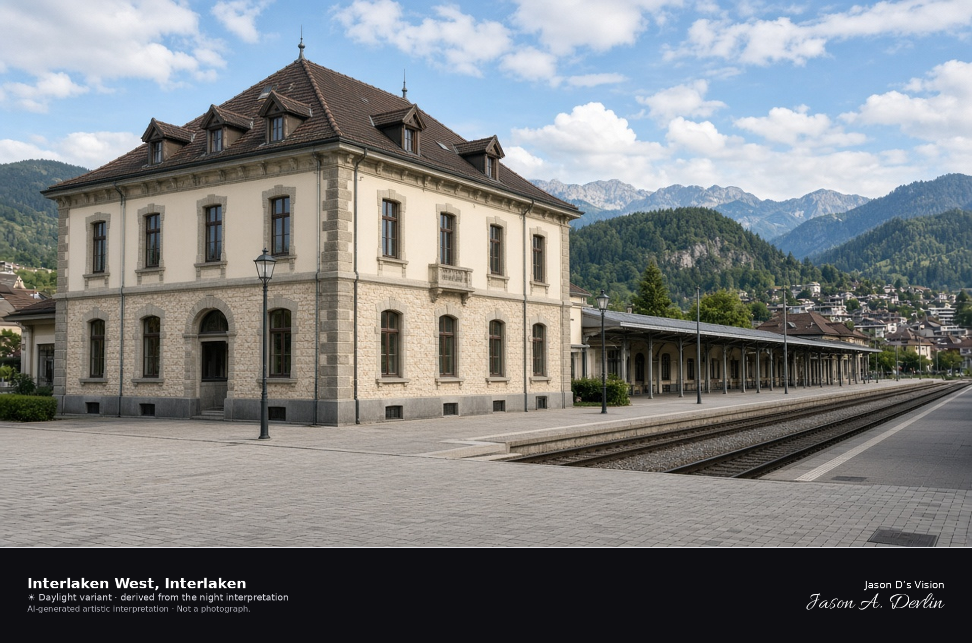
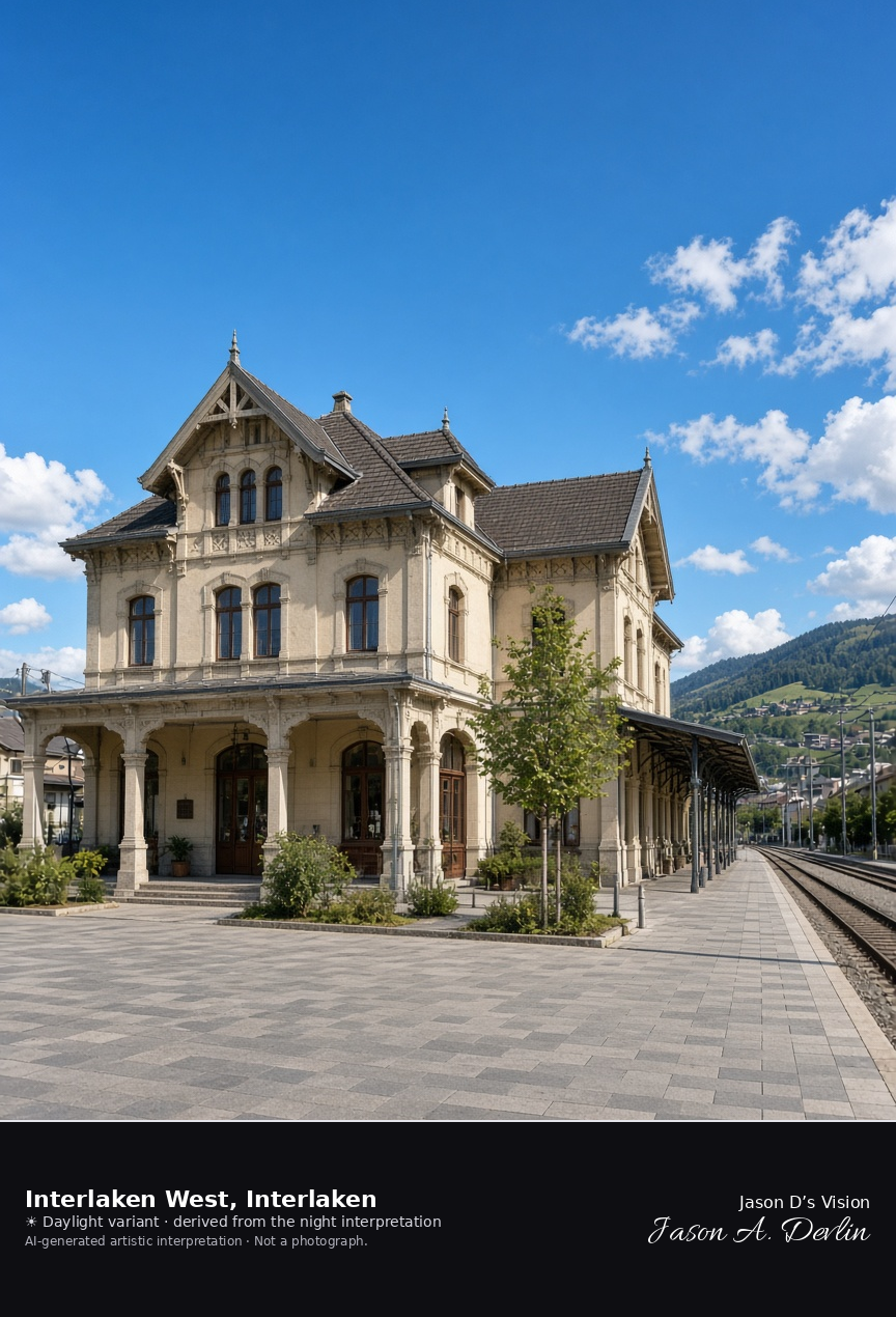
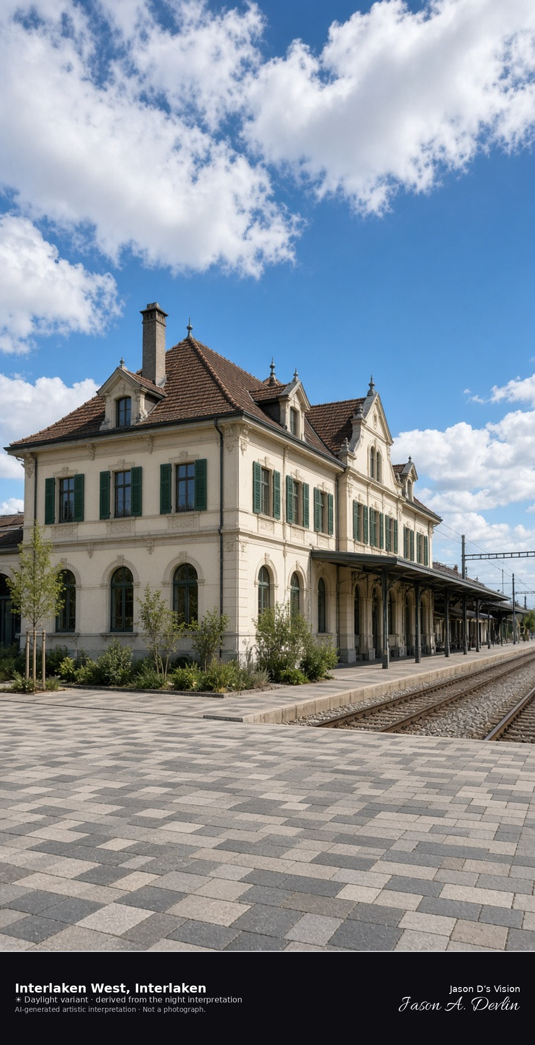
Interlaken West station building and plaza · AI-generated artistic interpretation
Interlaken West is the 1872 station on the Lake Thun line, with the station building on the plaza and two side platforms. This is the station square, not the Höheweg and not the Harder Kulm panorama. The Open-Meteo model is overcast and mild, about 15°C, with a light breeze and no precipitation, and the sun is below the horizon.
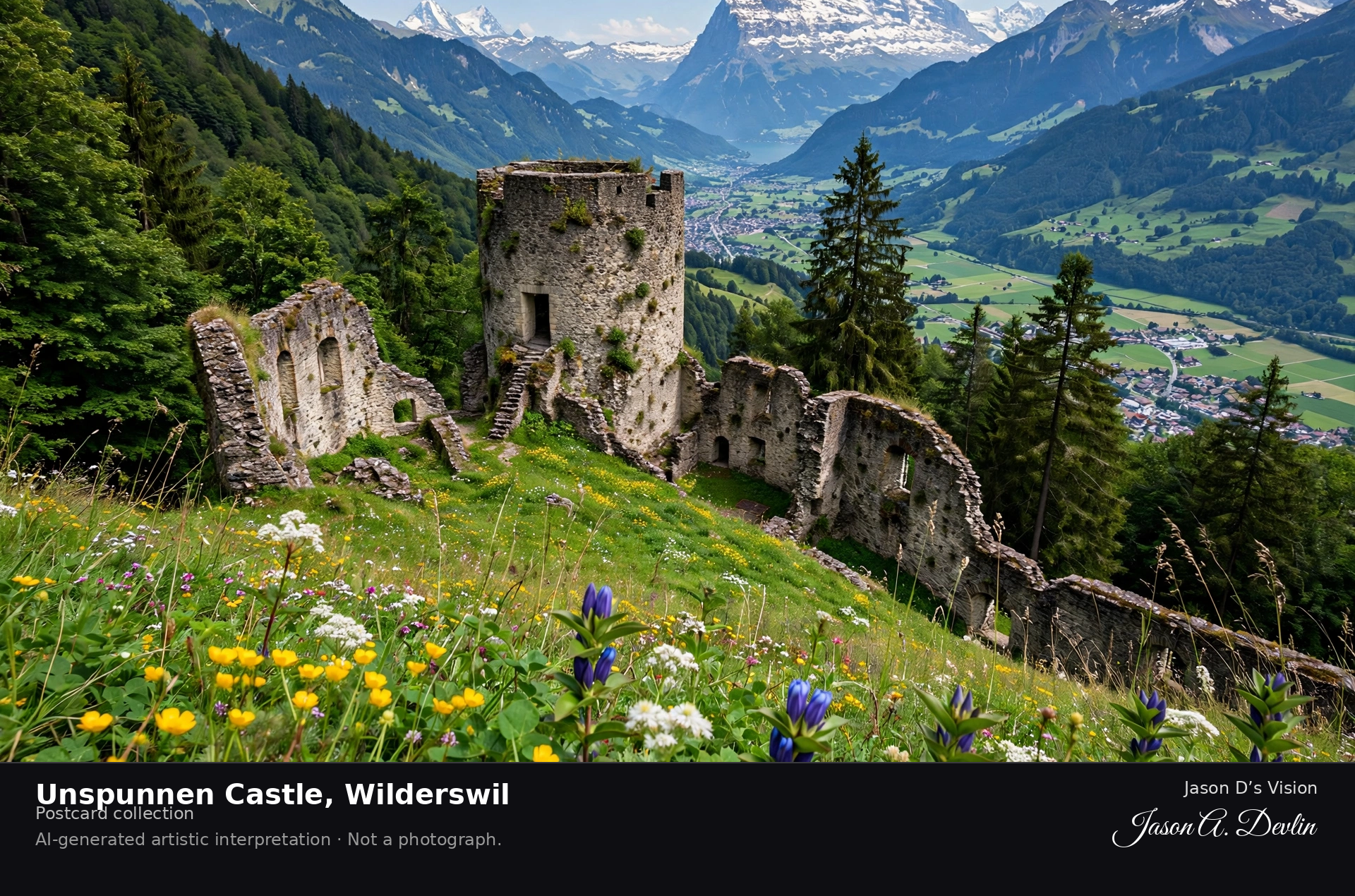
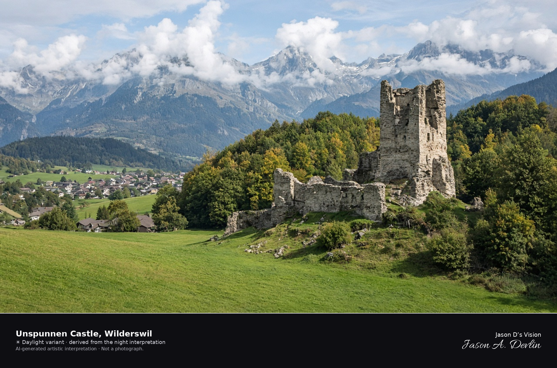
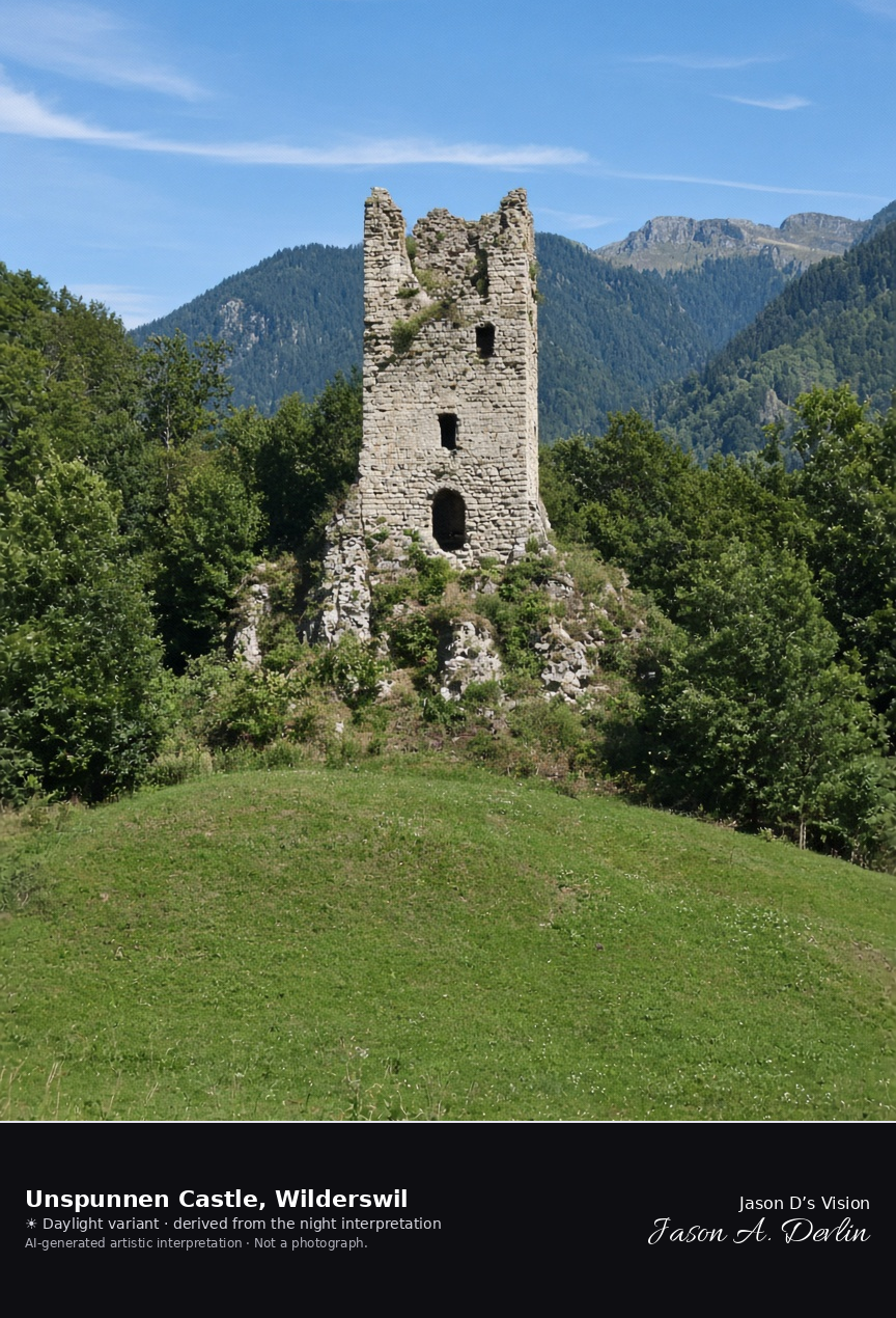
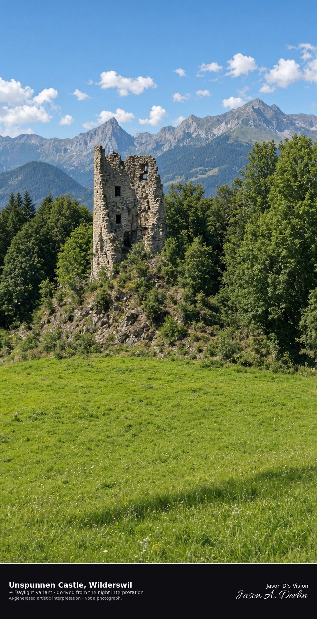
Unspunnen ruin on its knoll above the meadow at Wilderswil · AI-generated artistic interpretation
Unspunnen Castle is the ruined tower and broken walls on a wooded knoll above Wilderswil, with the meadow below empty of a festival. It is not the Gsteig church in the village and not the plain of the Bödeli. The Open-Meteo model is overcast and cool, about 15°C, with a light breeze and no precipitation, and the sun is below the horizon.
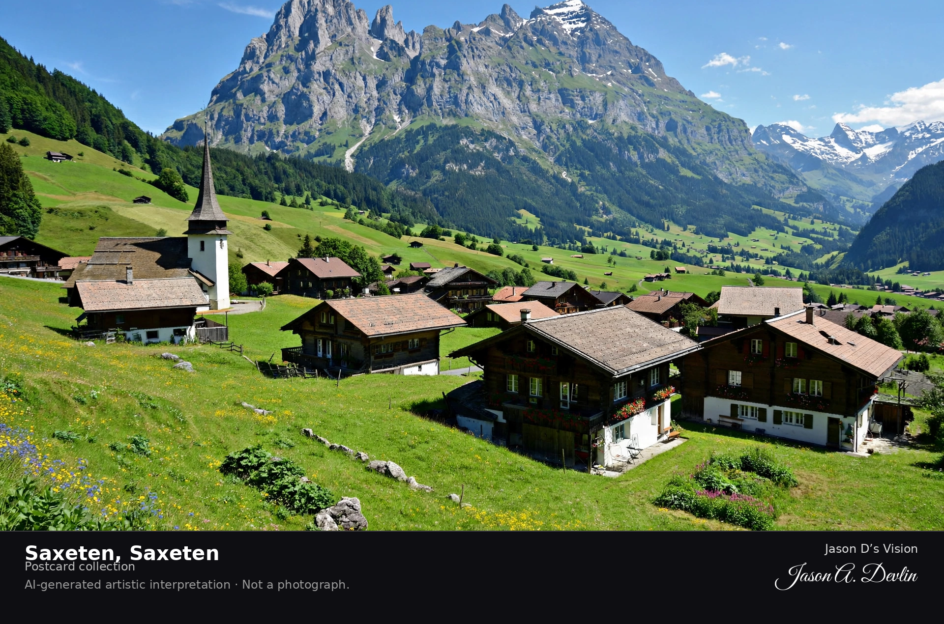
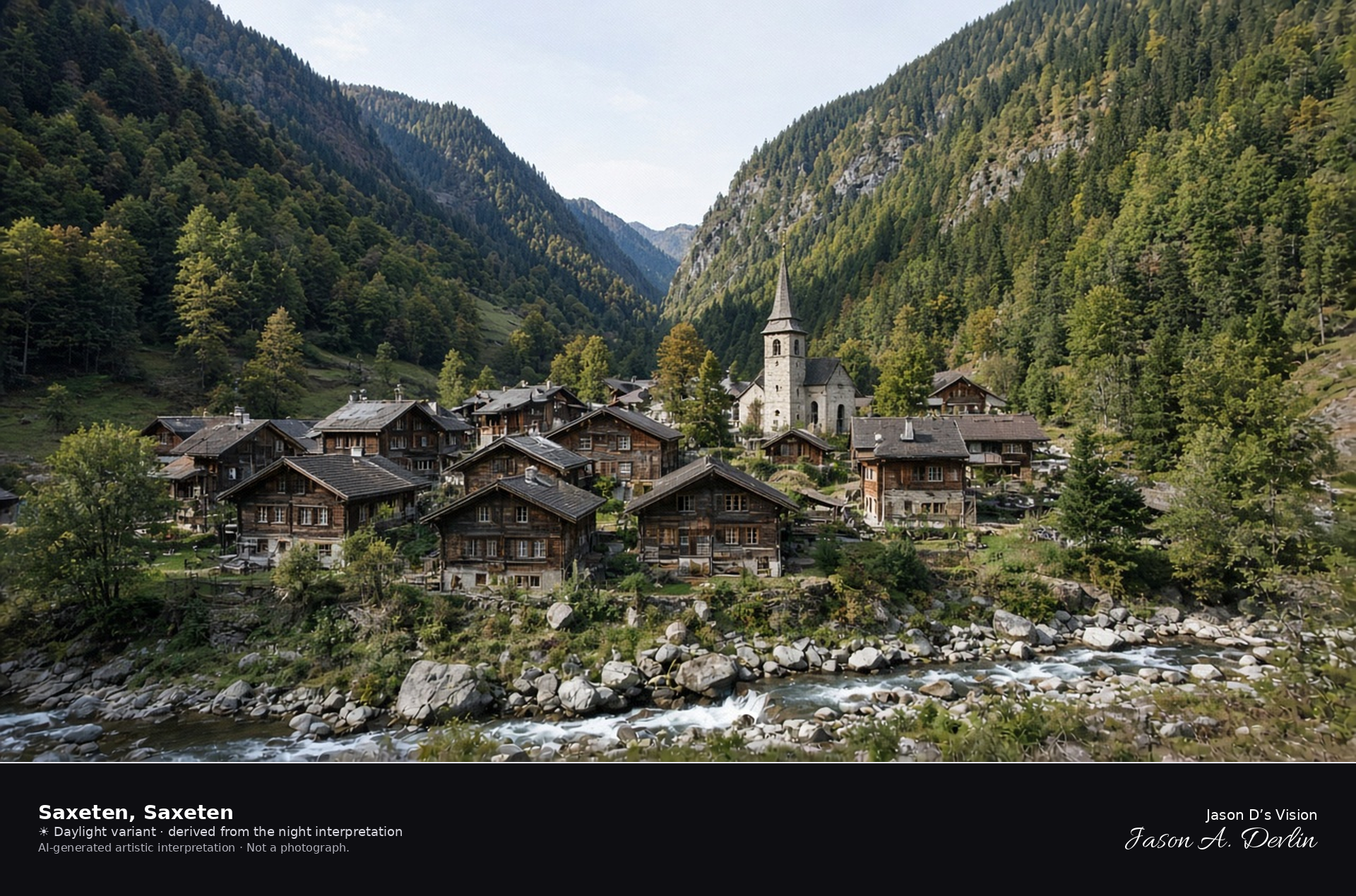
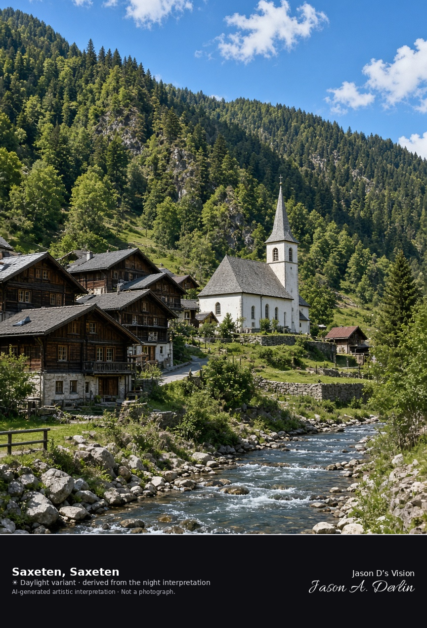
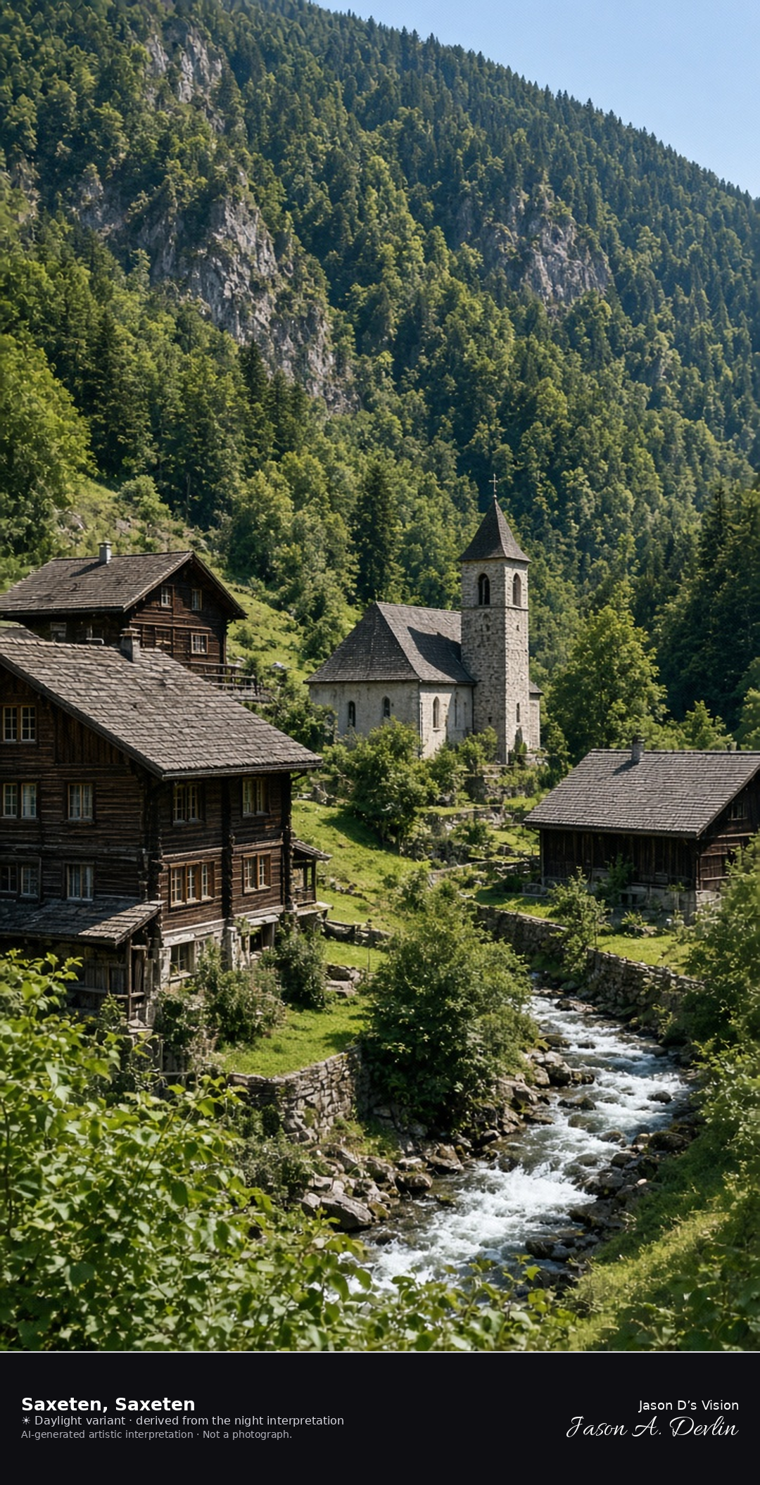
Wooden village of Saxeten in the Saxettal · AI-generated artistic interpretation
Saxeten is the small wooden village at about 1100 metres in the Saxettal, with chalets, a modest church, and the stream in a steep wooded valley. Late September leaves the village free of snow. The Open-Meteo model is heavily clouded and cool, about 13°C, with a breeze and no precipitation, and the sun is below the horizon.
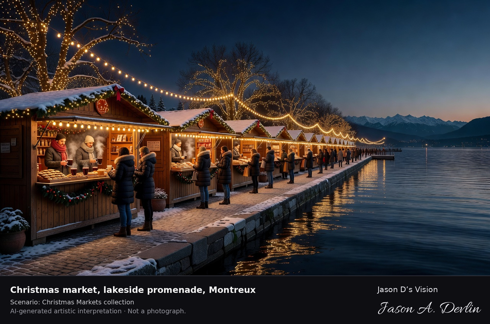
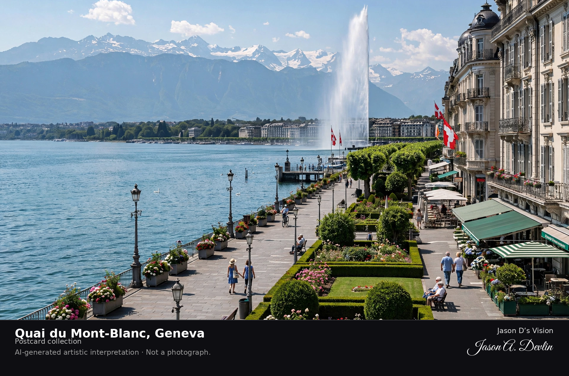
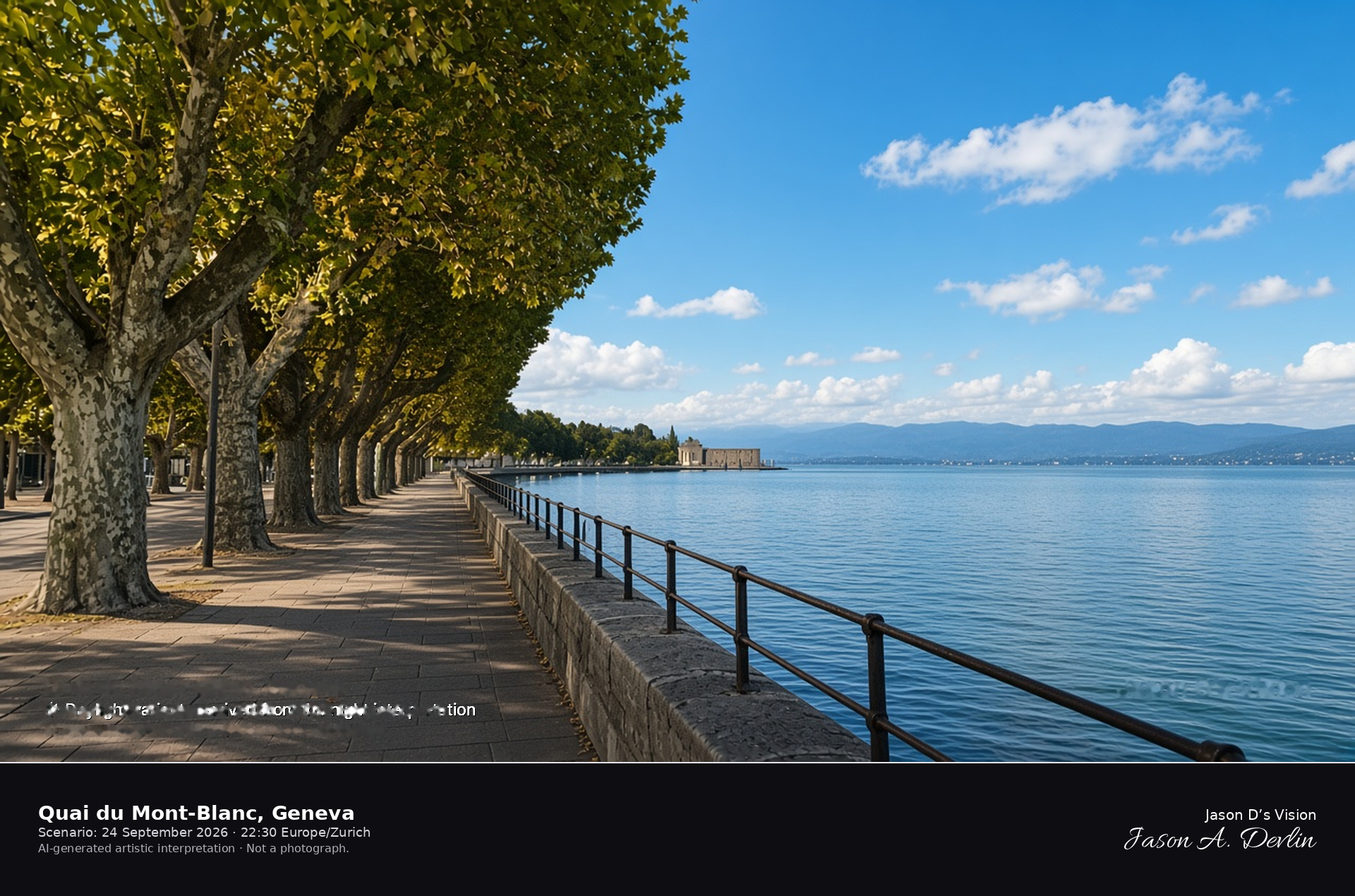
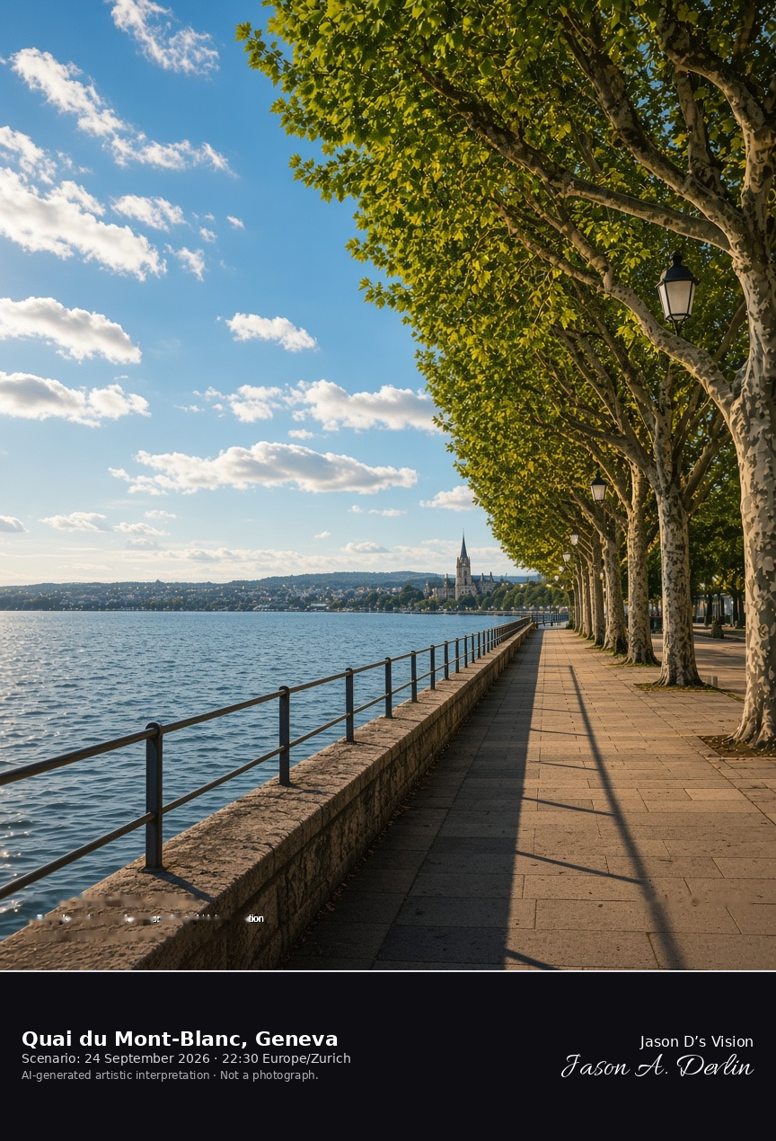
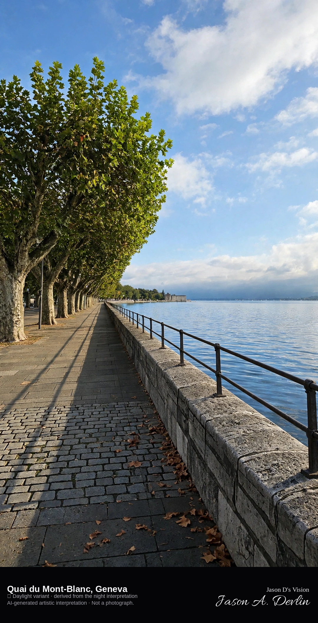
Quai du Mont-Blanc promenade on the north shore of Lake Geneva · AI-generated artistic interpretation
Quai du Mont-Blanc is the north-shore promenade of Lake Geneva in Geneva, a stone quay with plane trees between the Mont-Blanc bridge and the Pâquis. The Jet d'Eau stands on the other side of the Rhône outlet, so this frame is the quay and the lake, not the fountain. The Open-Meteo model is overcast and mild, about 19°C, with little wind and no precipitation, and the sun is below the horizon.
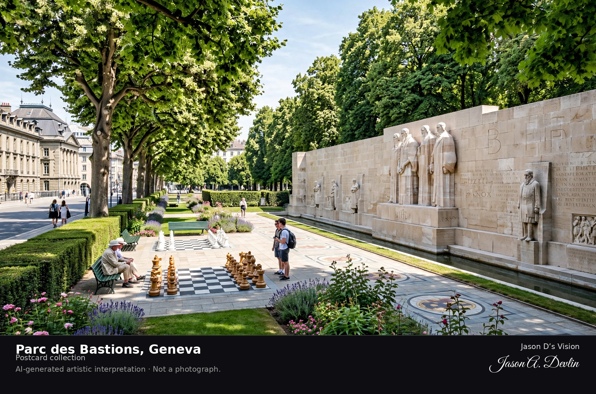
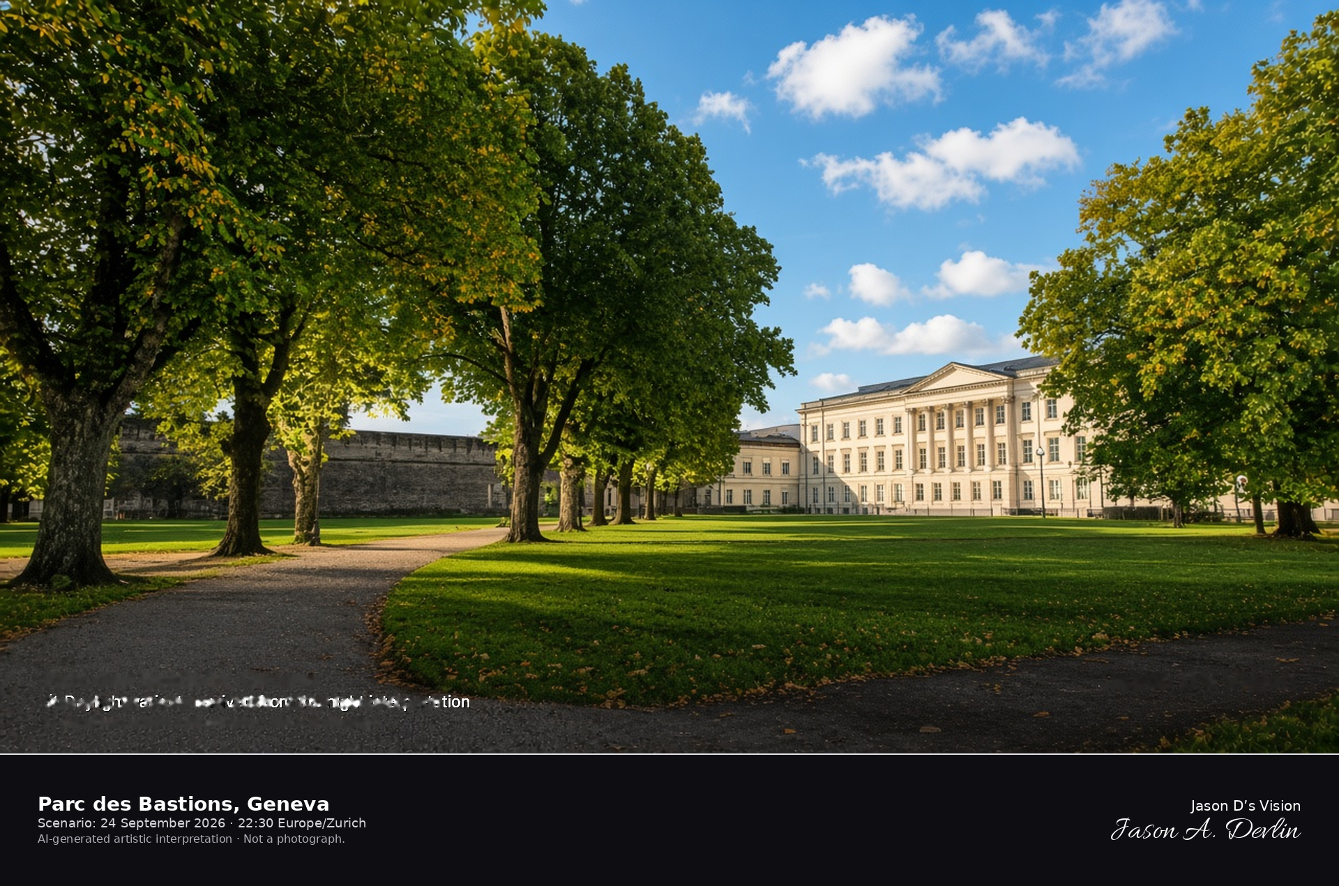
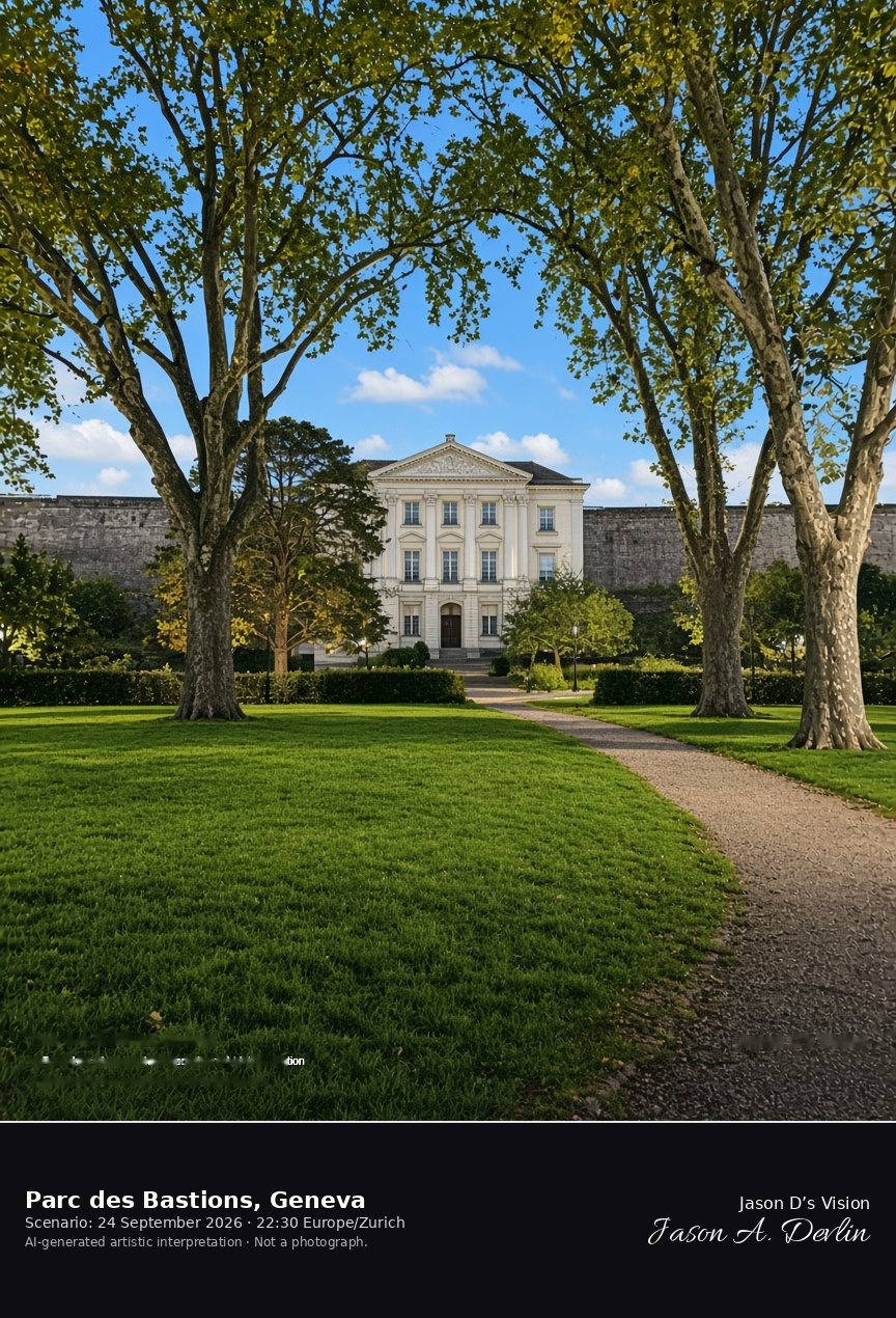
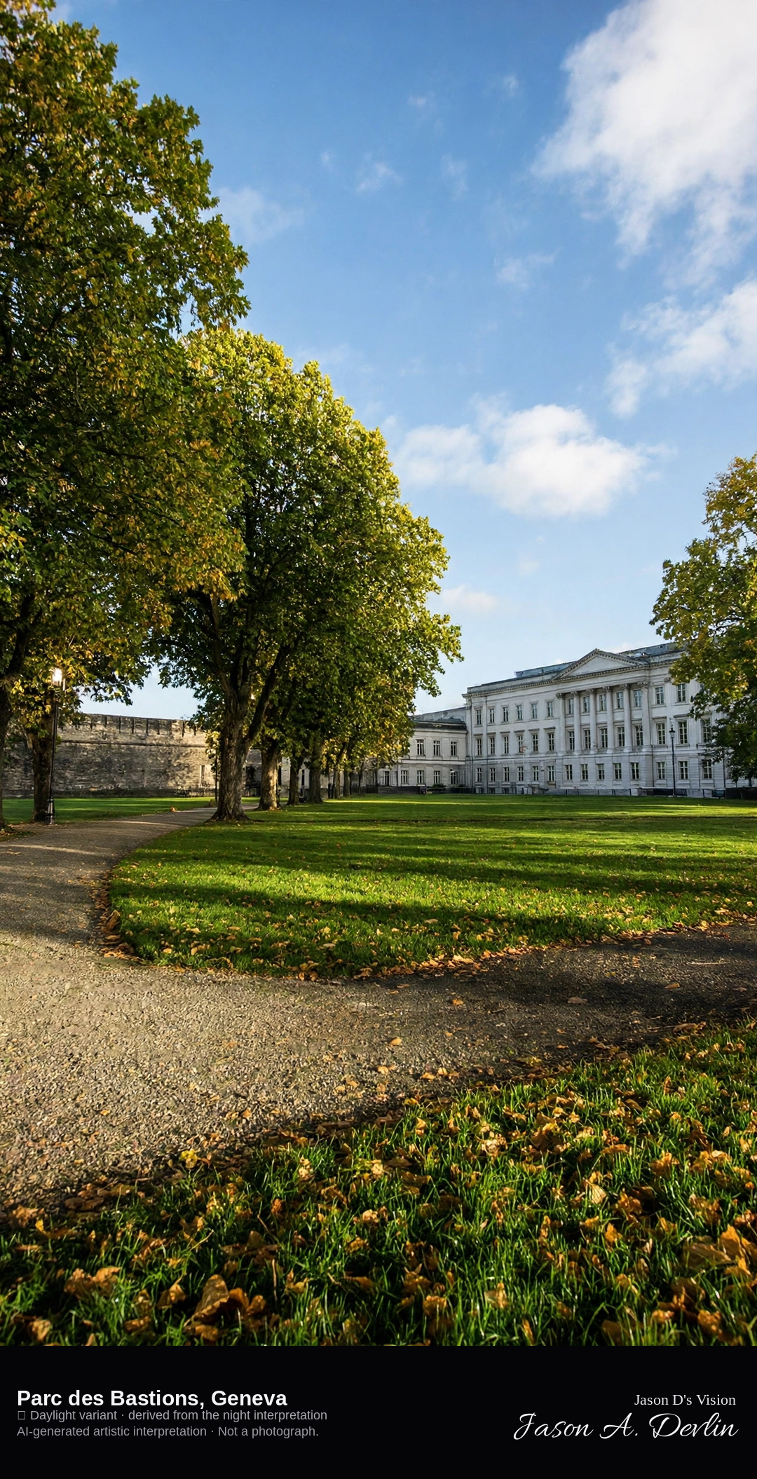
Lawns and bastion of Parc des Bastions, with Uni Bastions beyond · AI-generated artistic interpretation
Parc des Bastions is the public park laid out on Geneva's sixteenth-century ramparts, with lawns, plane trees, and the neoclassical university building along one side. The Reformation Wall runs on the old bastion, but sculpted portraits are not the close subject. It is not the cobbled square of the old town and not the lake. The Open-Meteo model is overcast and mild, about 19°C, with little wind and no precipitation, and the sun is below the horizon.
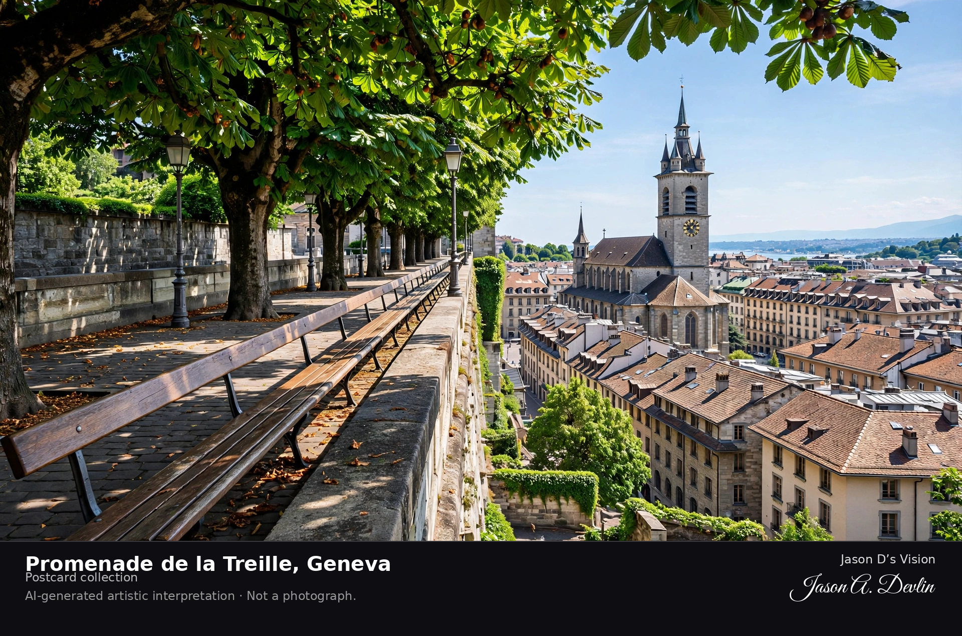
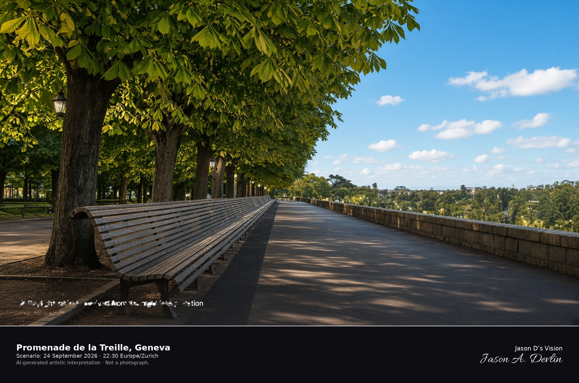
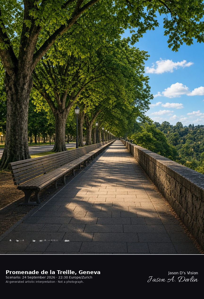
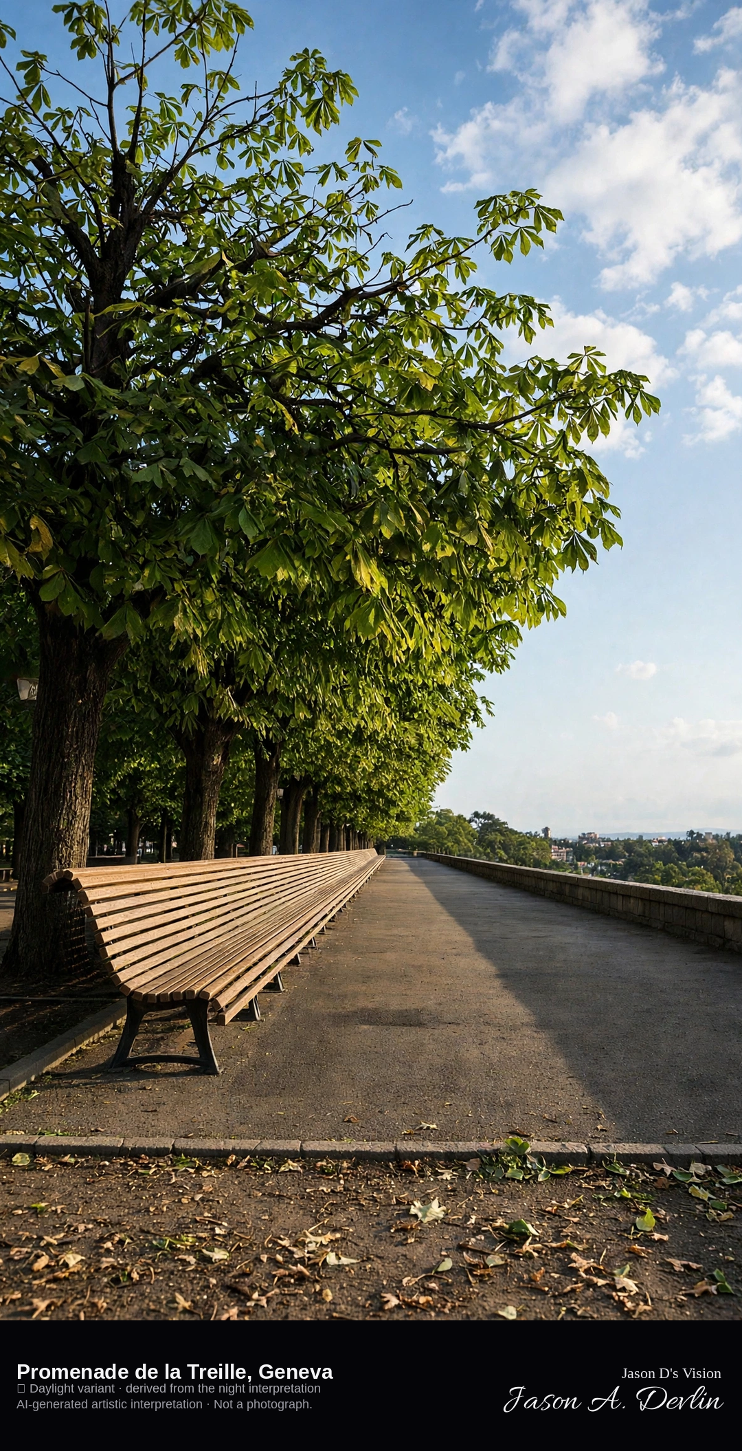
Chestnut promenade and long bench of the Treille above the Bastions · AI-generated artistic interpretation
The Promenade de la Treille runs along Geneva's old rampart above Parc des Bastions, a walk of horse-chestnut trees and one long wooden bench. This replaces Place du Bourg-de-Four, already published as the old-town square. The cathedral front is not the subject. The Open-Meteo model is overcast and mild, about 19°C, with little wind and no precipitation, and the sun is below the horizon.
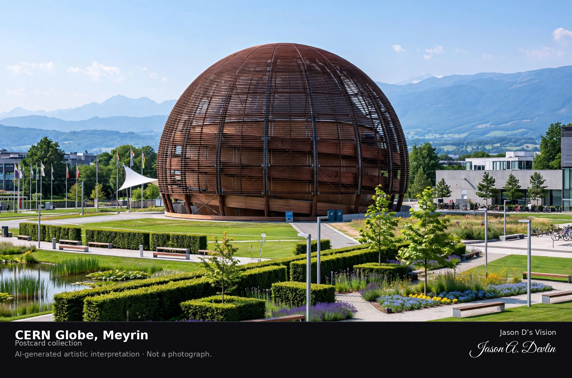
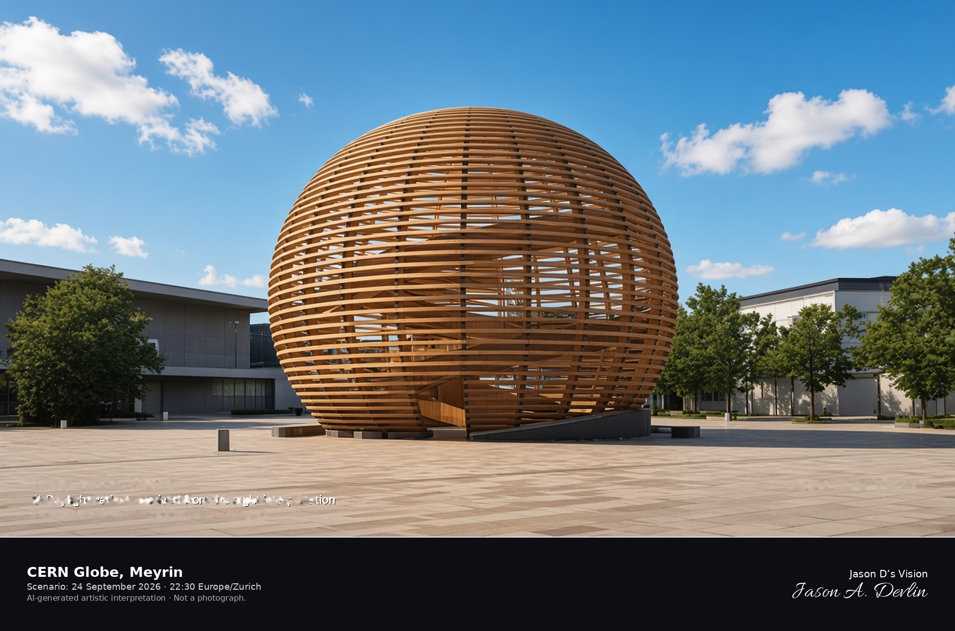
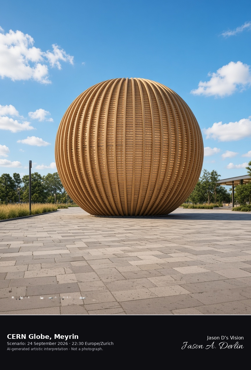
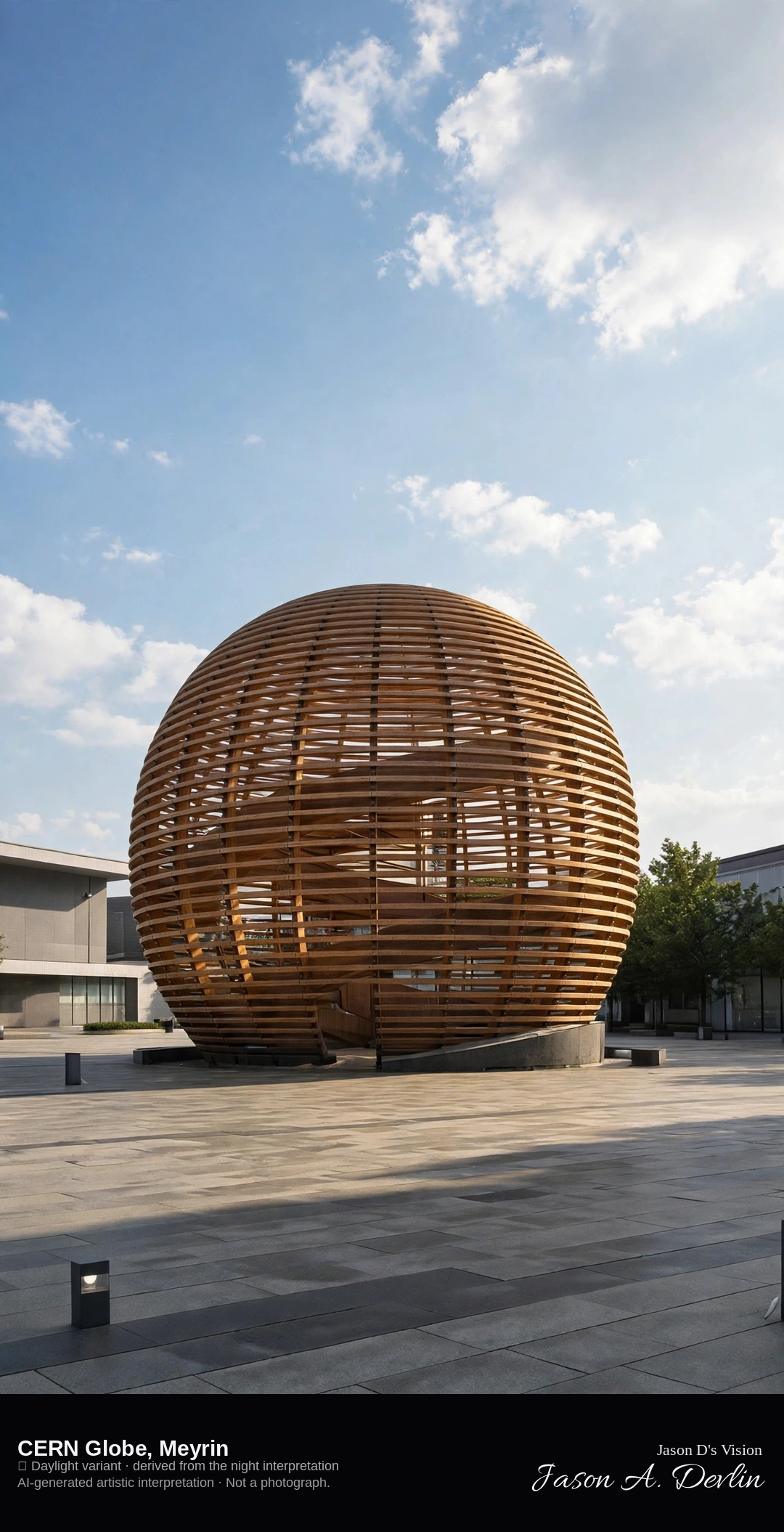
Exterior of the wooden Globe of Science and Innovation at Meyrin · AI-generated artistic interpretation
The Globe of Science and Innovation is the timber sphere at Meyrin, about 27 metres high and 40 metres across, built as the Palais de l'Equilibre for the 2002 national exhibition and reopened on this site in 2004. The frame is the wooden exterior and the plaza, not an interior, and no name is readable on the shell. The Open-Meteo model is fully overcast and cool, about 15°C, with a light wind and no precipitation, and the sun is below the horizon.
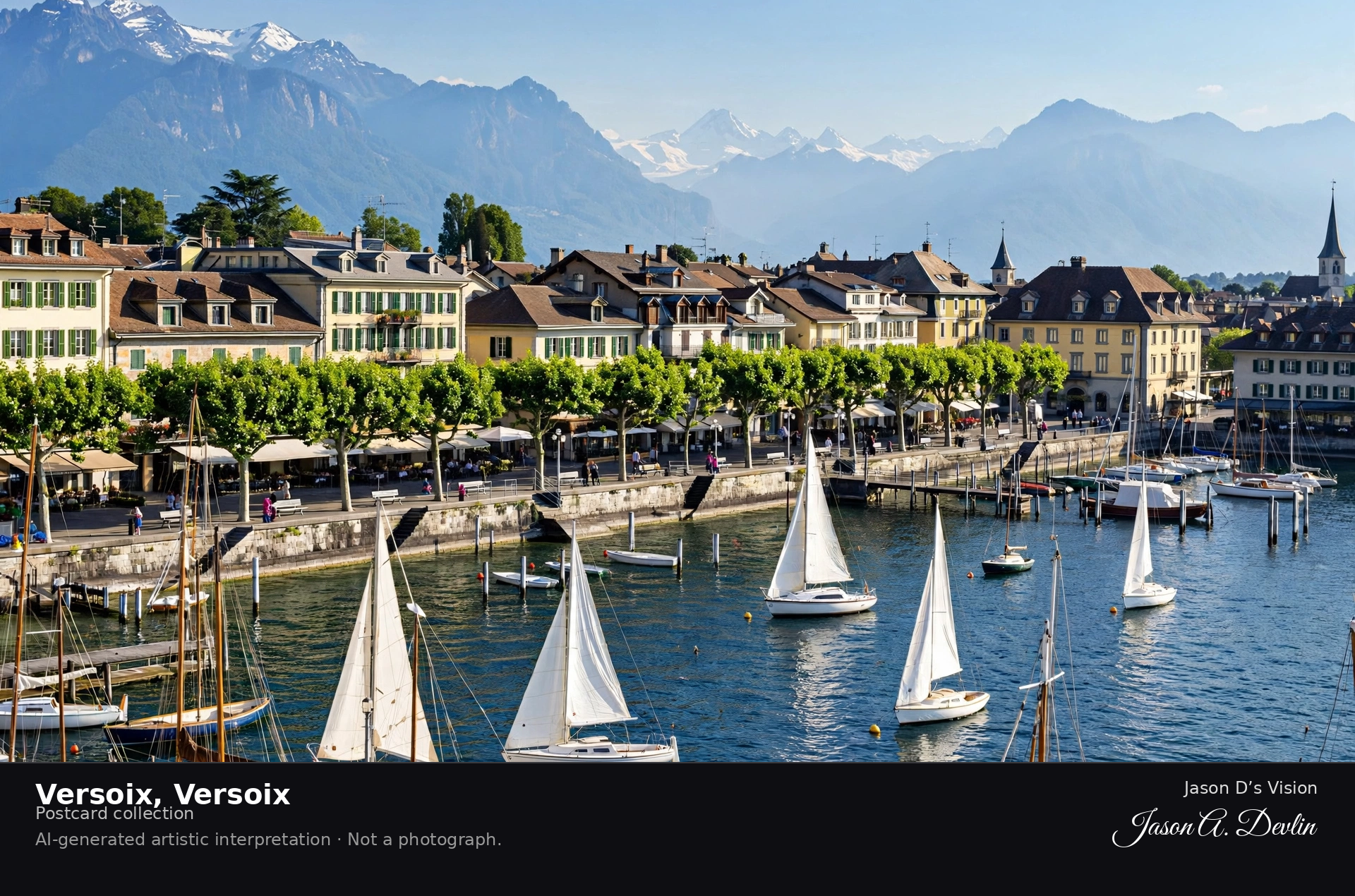
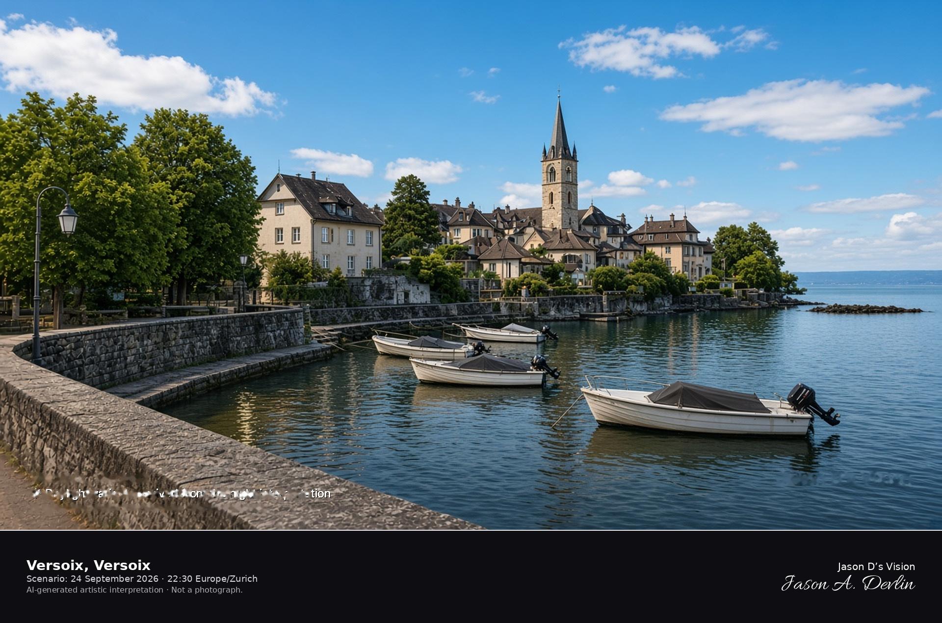
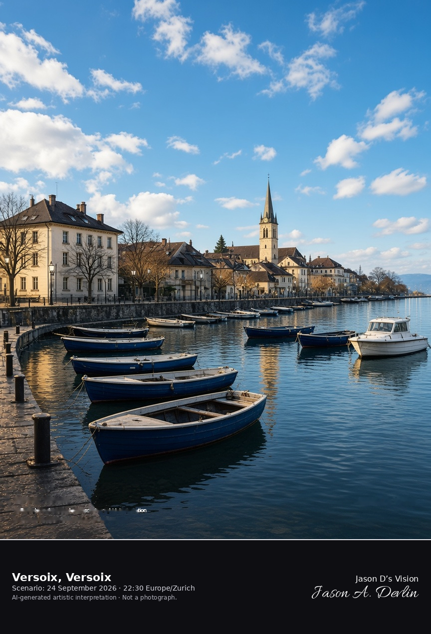
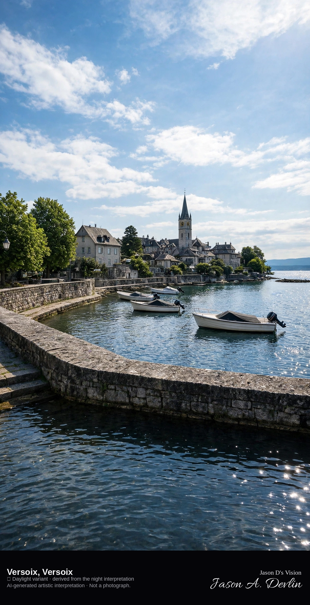
Versoix-Bourg harbor and church on Lake Geneva · AI-generated artistic interpretation
Versoix is the municipality on the right bank of Lake Geneva, and this frame is the small harbor at Versoix-Bourg, with houses and the church behind the quay. It is not the Geneva promenade and not the Jet d'Eau. The Open-Meteo model is fully overcast and cool, about 16°C, with a breeze and no precipitation, and the sun is below the horizon.
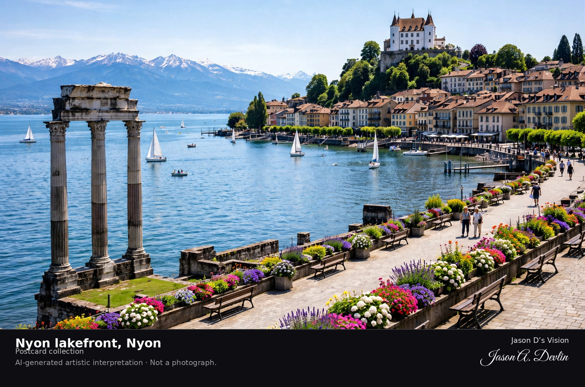
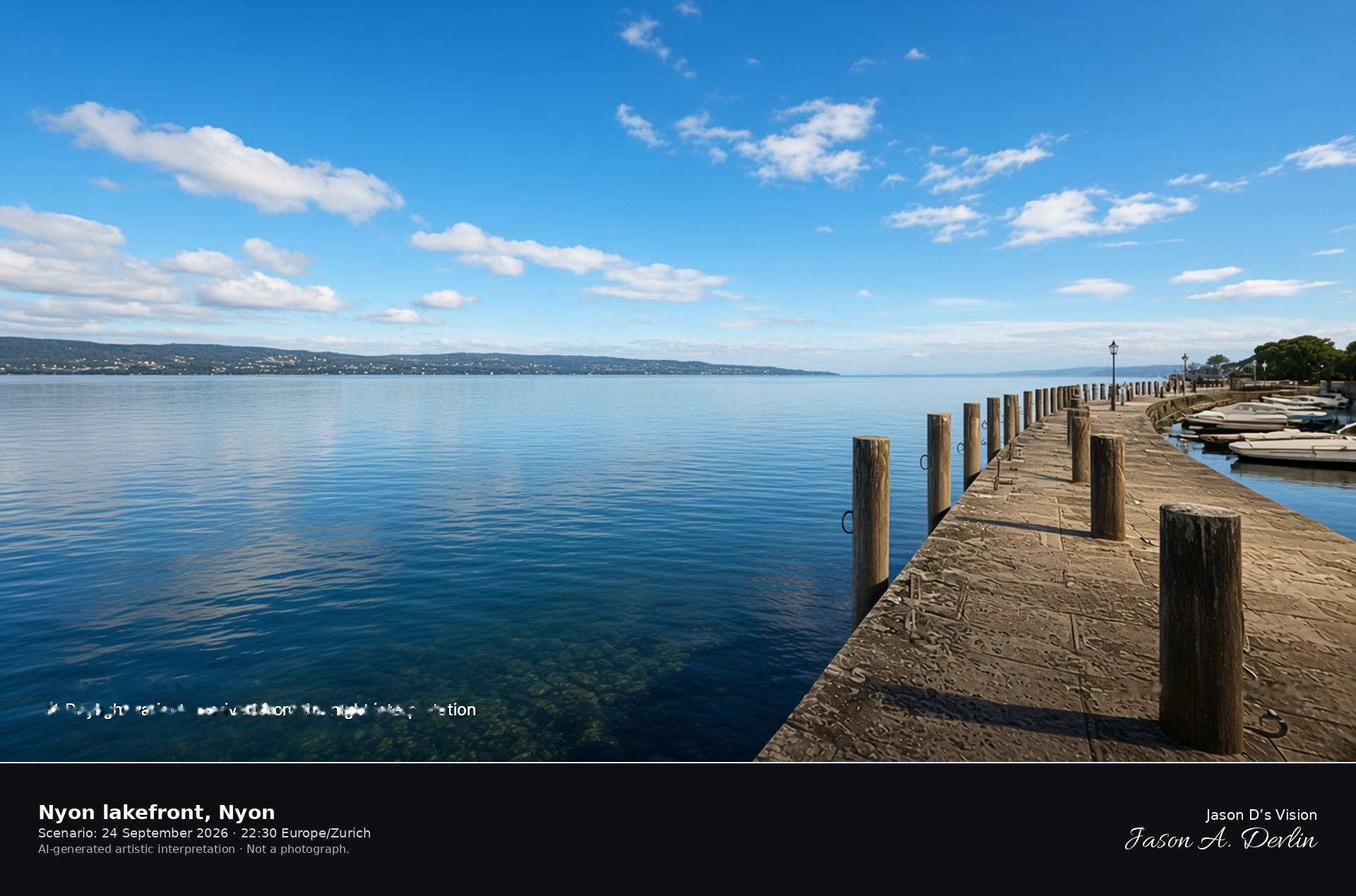
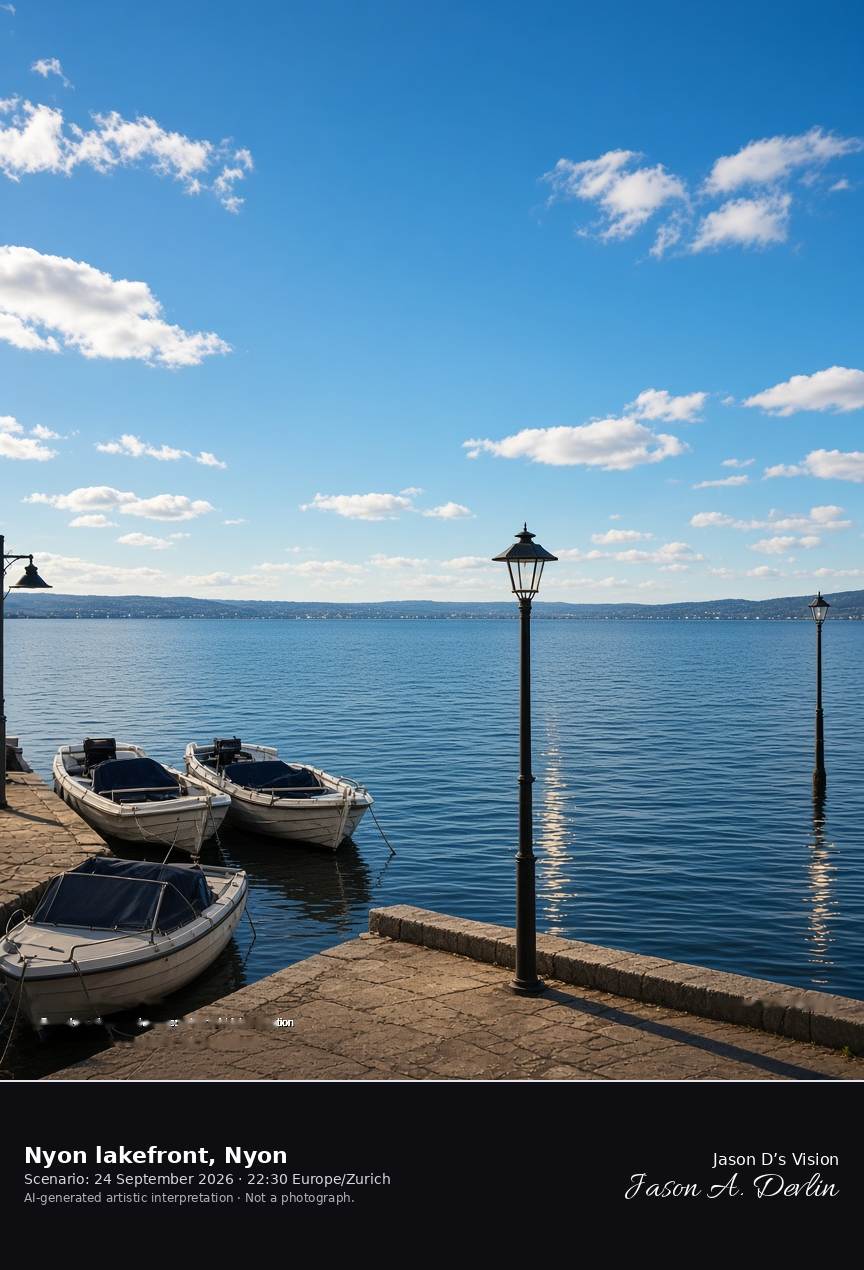
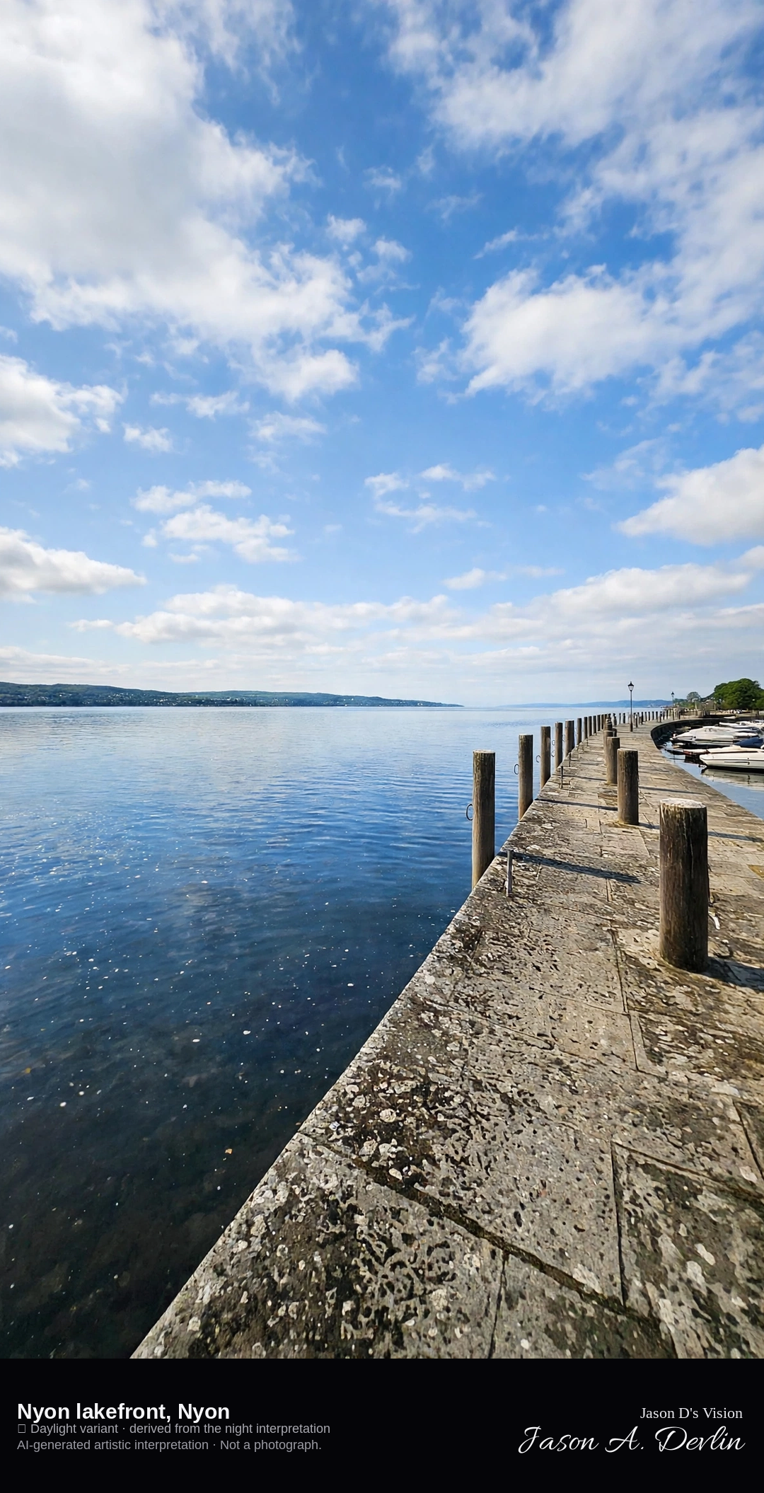
Nyon port and promenade looking south across Lake Geneva · AI-generated artistic interpretation
The Nyon lakefront here is the public port and promenade, looking south across Lake Geneva, with small boats and the far shore under cloud. Nyon Castle, already published, stays behind the camera. The Open-Meteo model is overcast and mild, about 17°C, with a light wind and no precipitation, and the sun is below the horizon.
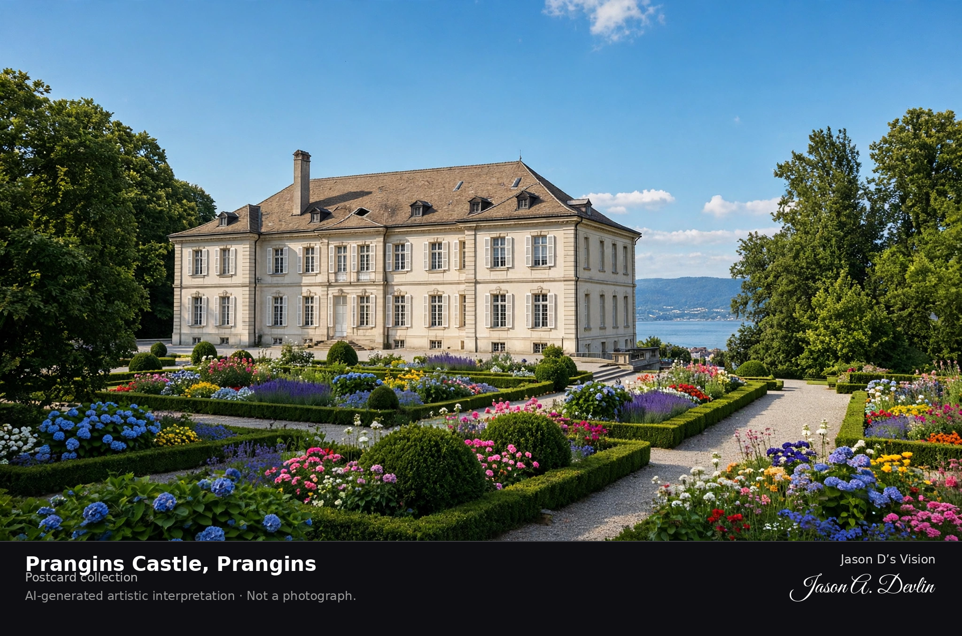
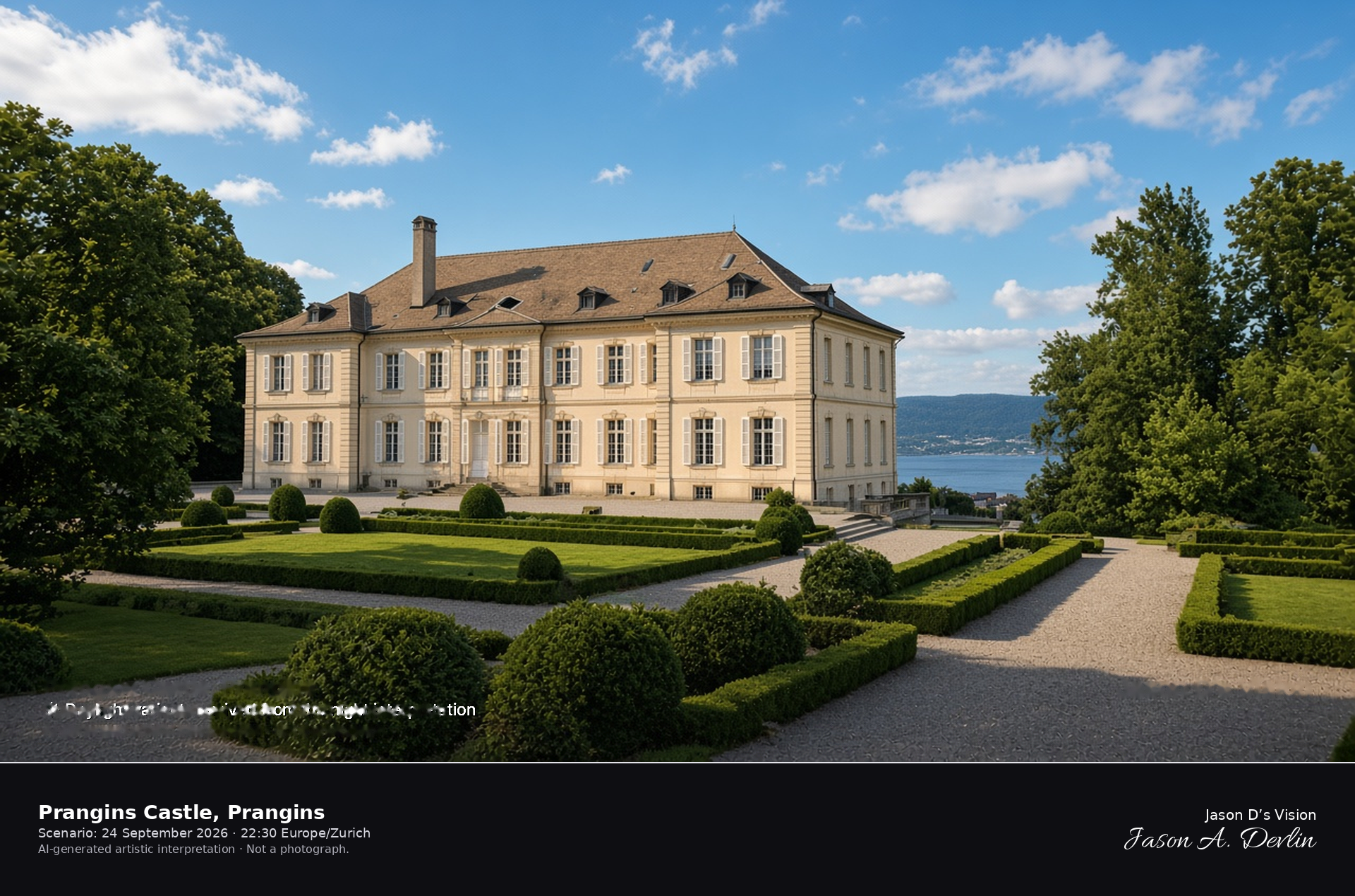
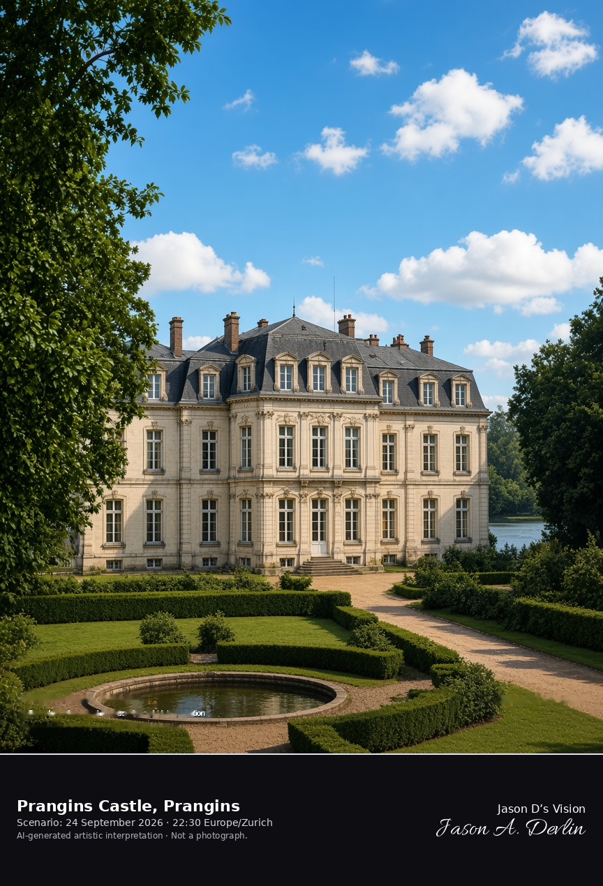
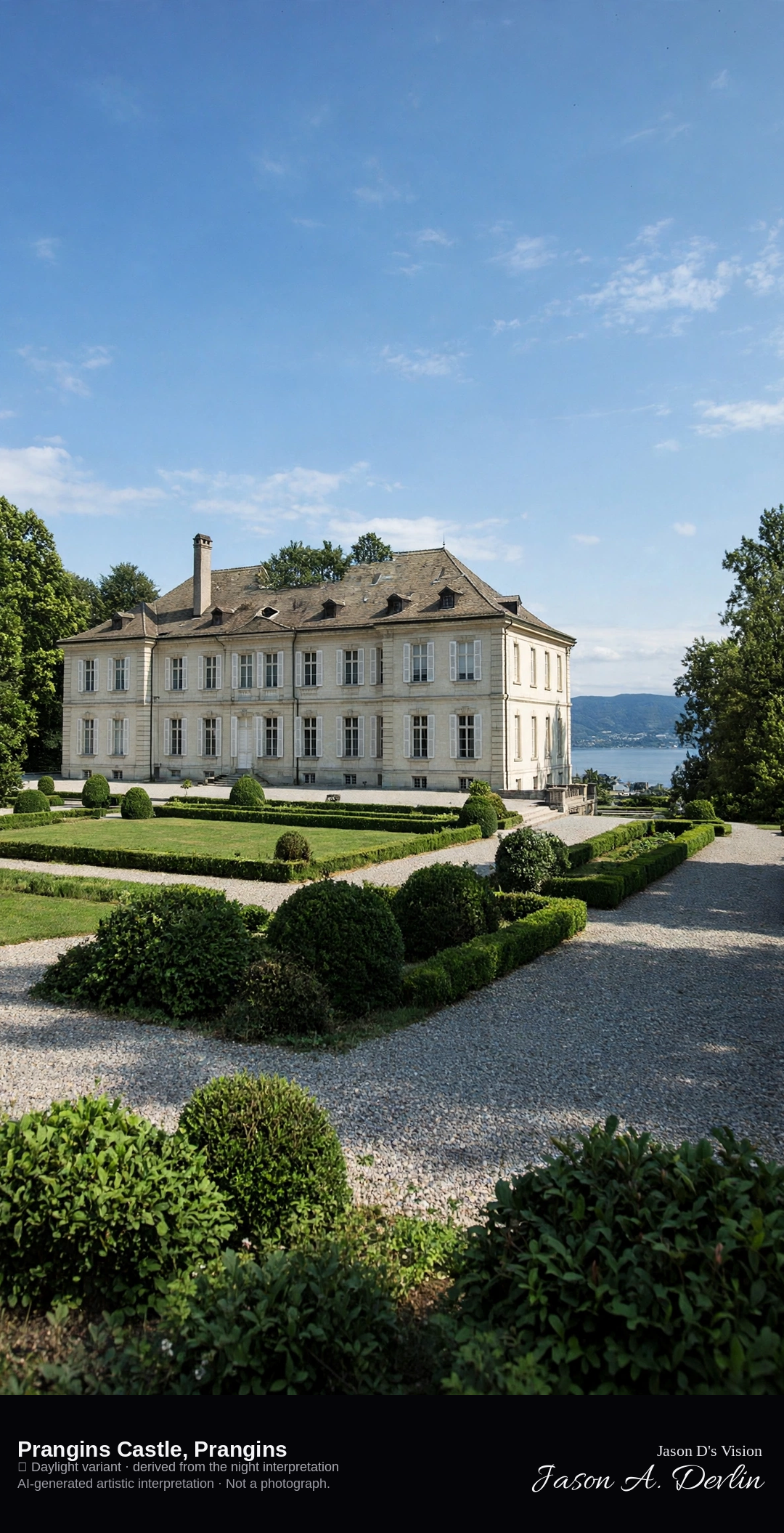
Eighteenth-century façade and garden of the château at Prangins · AI-generated artistic interpretation
Prangins Castle is the eighteenth-century French-style house above Lake Geneva in the municipality of Prangins, with a formal garden and a park on the slope. It has been part of the Swiss National Museum since 1998, and the frame stays on the exterior. It is not the white lakeside castle at Nyon. The Open-Meteo model is overcast and cool, about 15°C, with a light wind and no precipitation, and the sun is below the horizon.
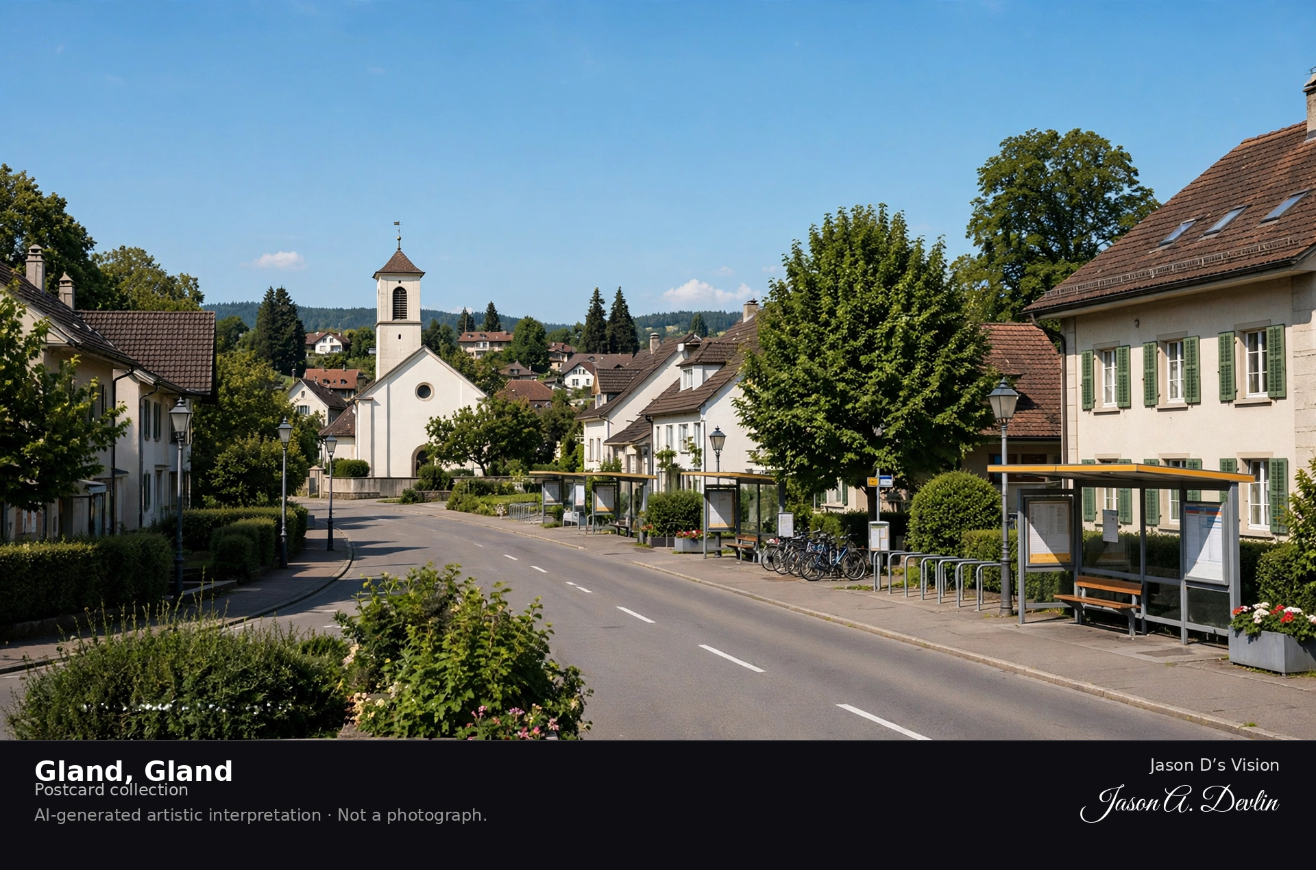
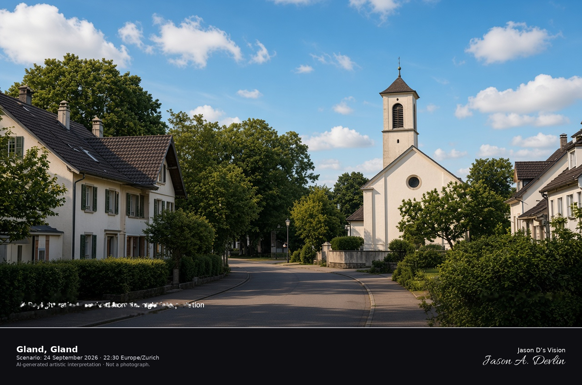
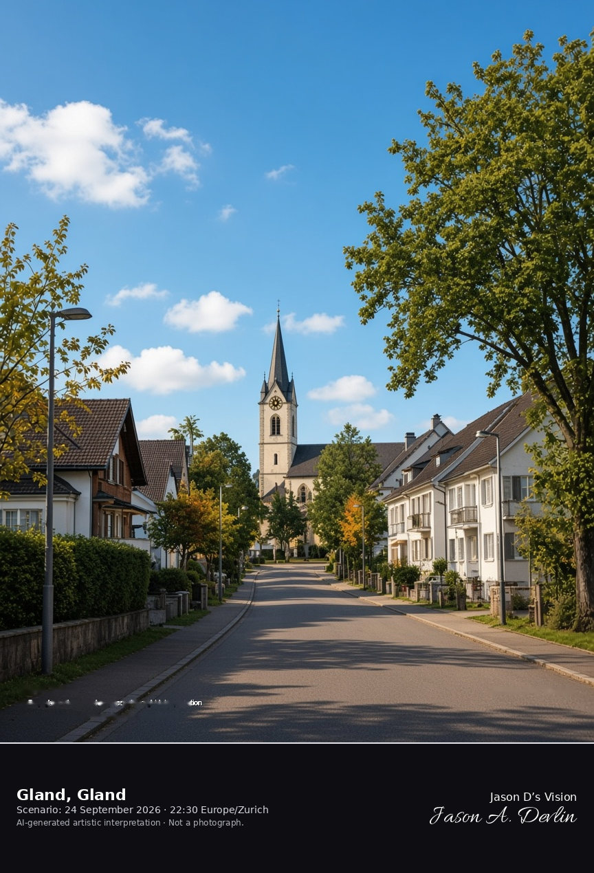
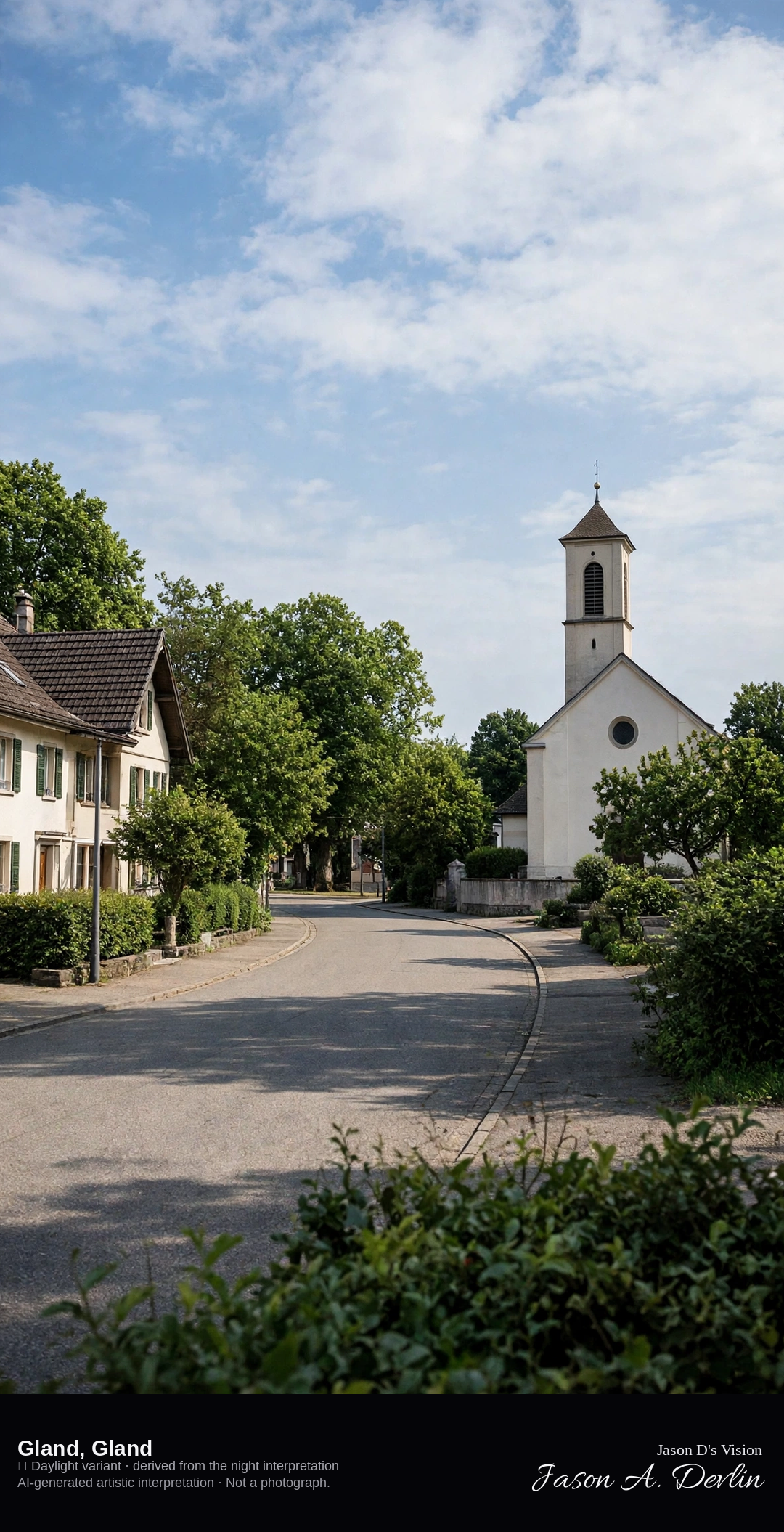
Gland town center and reformed church · AI-generated artistic interpretation
Gland is the town between Nyon and Rolle, in the canton of Vaud, and this frame is the center inland from the lake, with the reformed church among the houses. It is not the château at Prangins and not the Nyon shore. The Open-Meteo model is overcast and cool, about 16°C, with a light wind and no precipitation, and the sun is below the horizon.
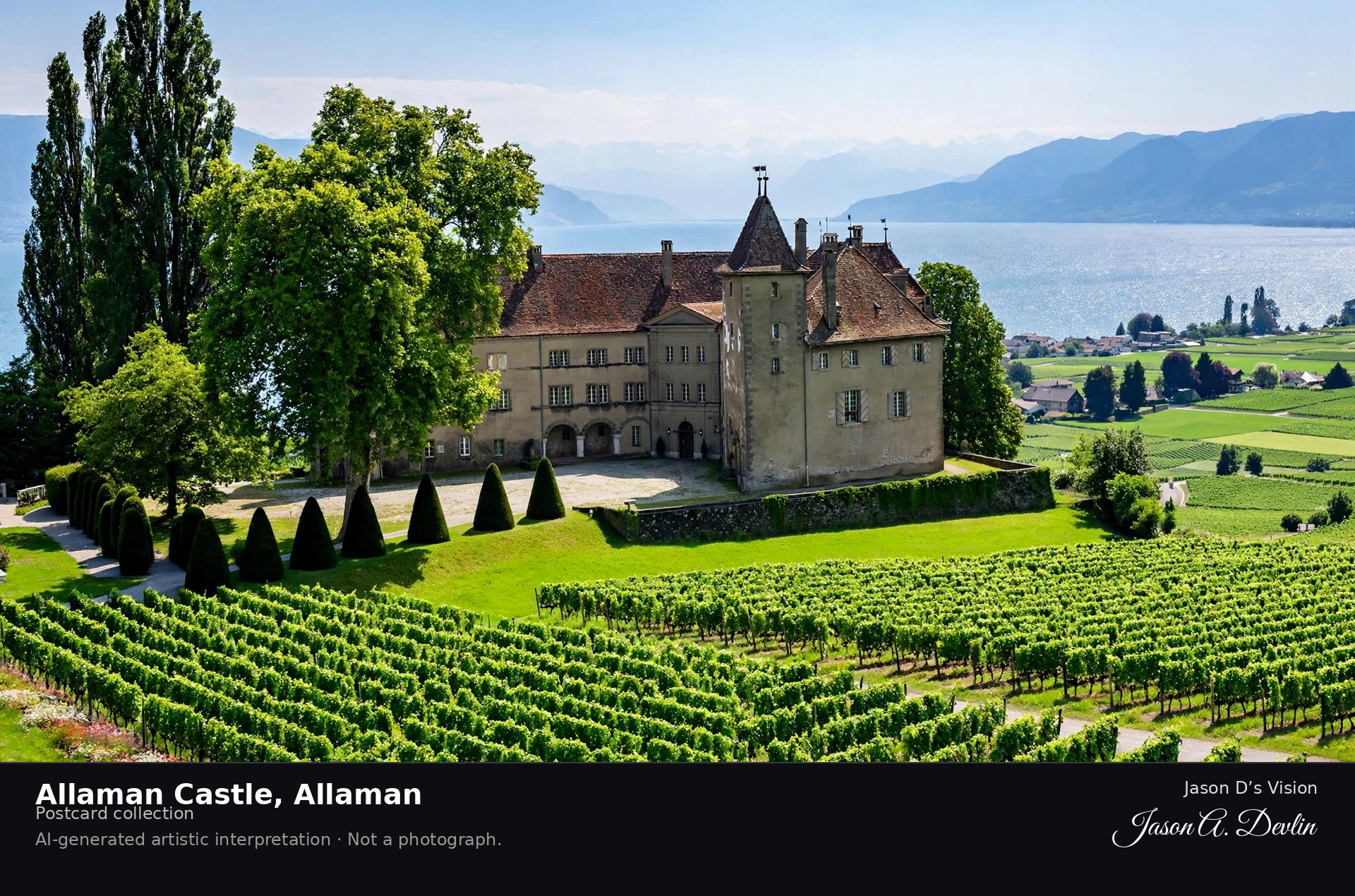
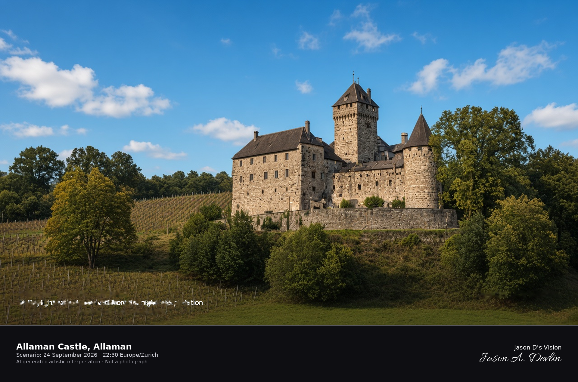
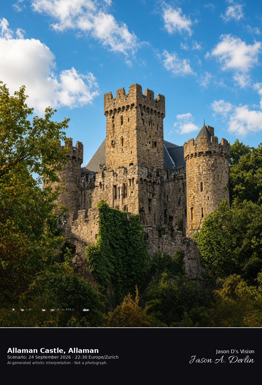
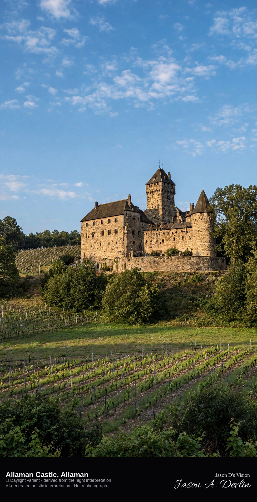
Allaman Castle on its esplanade among park and vines · AI-generated artistic interpretation
Allaman Castle stands on an esplanade above the road in the municipality of Allaman, a medieval castle whose main fabric dates from 1253, with park and vineyards around the walls. It replaces Rolle Castle, already published with the Île de la Harpe. It does not stand in the lake. The Open-Meteo model is fully overcast and cool, about 13°C, with a breeze and no precipitation, and the sun is below the horizon.
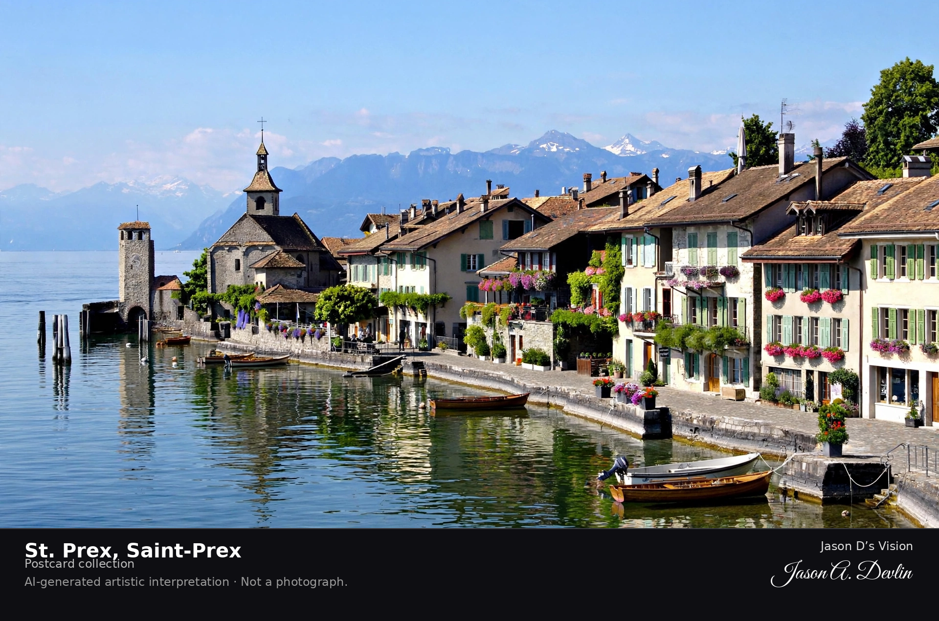
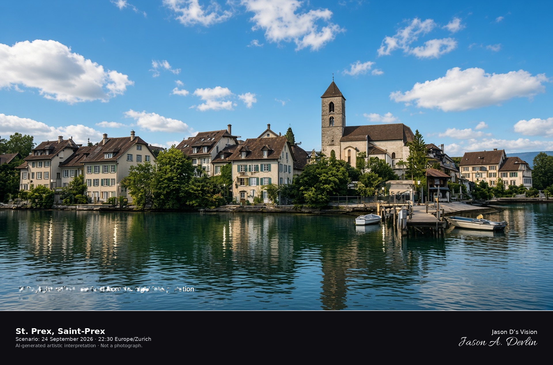
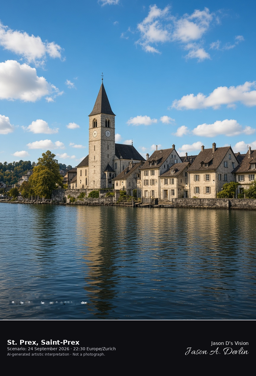
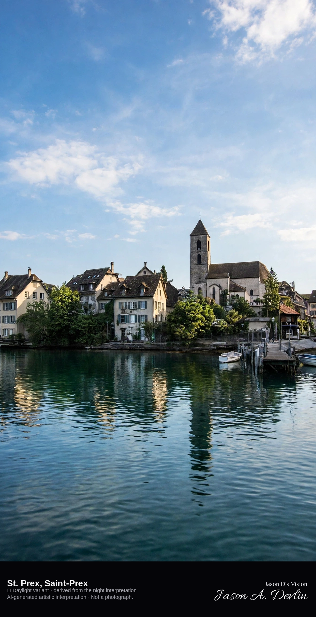
Saint-Prex church and houses on the Lake Geneva shore · AI-generated artistic interpretation
Saint-Prex is the lakeside municipality west of Morges, a compact bourg with the reformed church of Notre-Dame and old houses along the water. The frame is that shore, not the square castle at Morges. The Open-Meteo model is overcast and mild, about 17°C, with a breeze and no precipitation, and the sun is below the horizon.
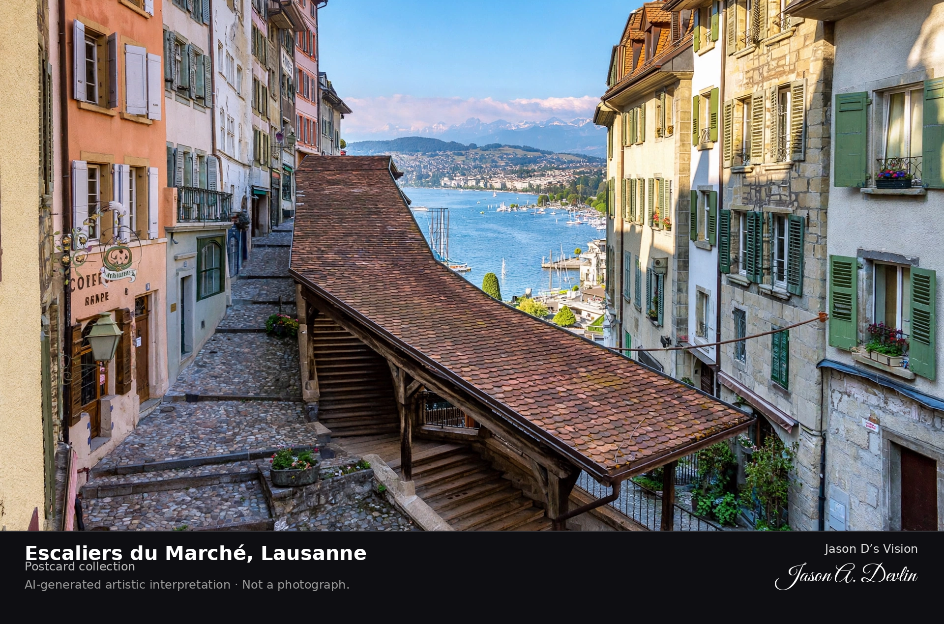
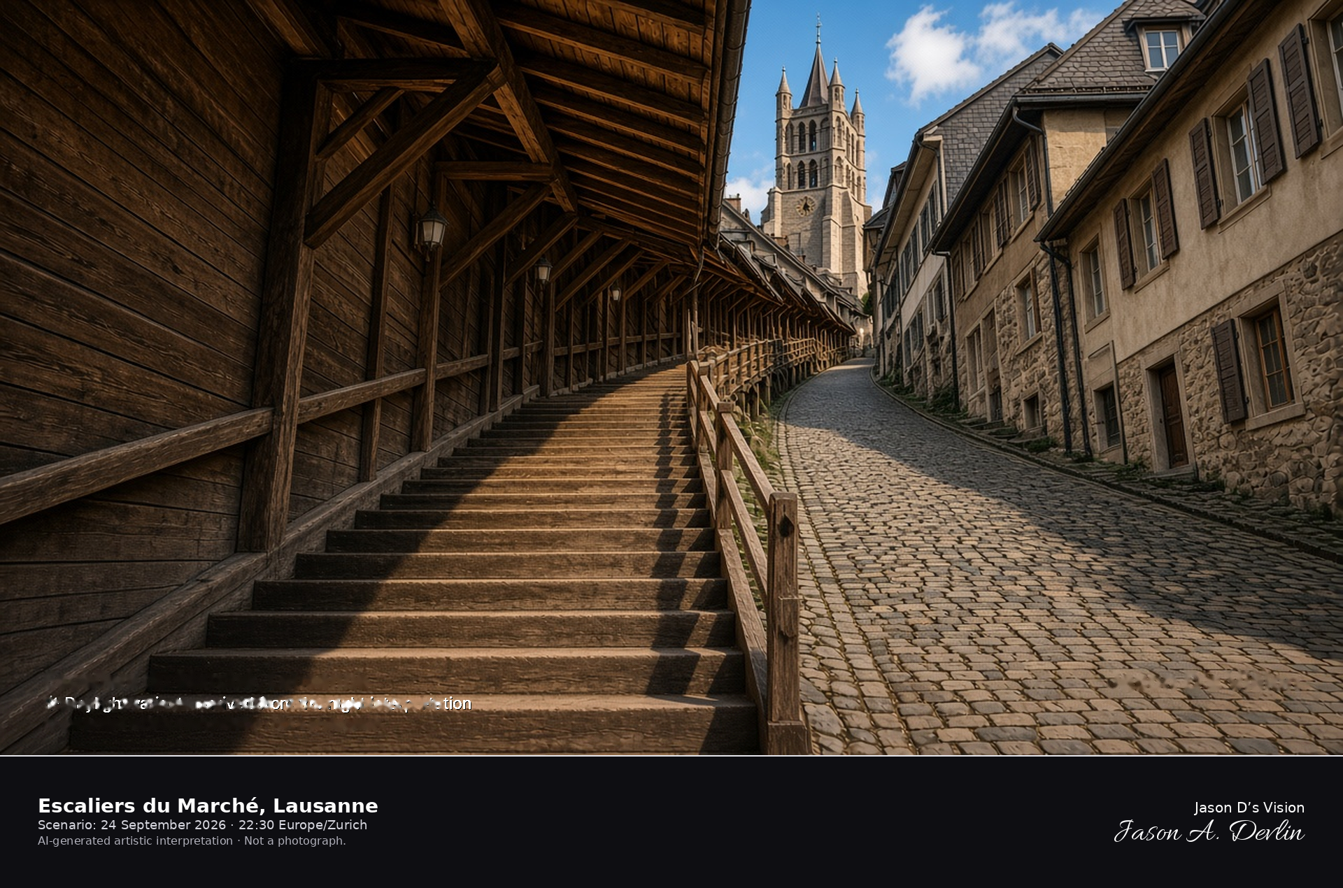
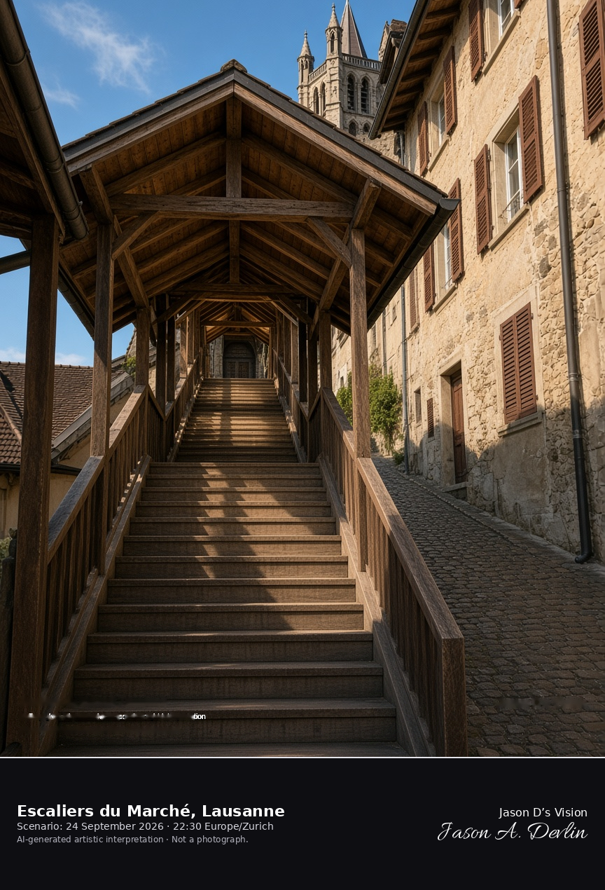
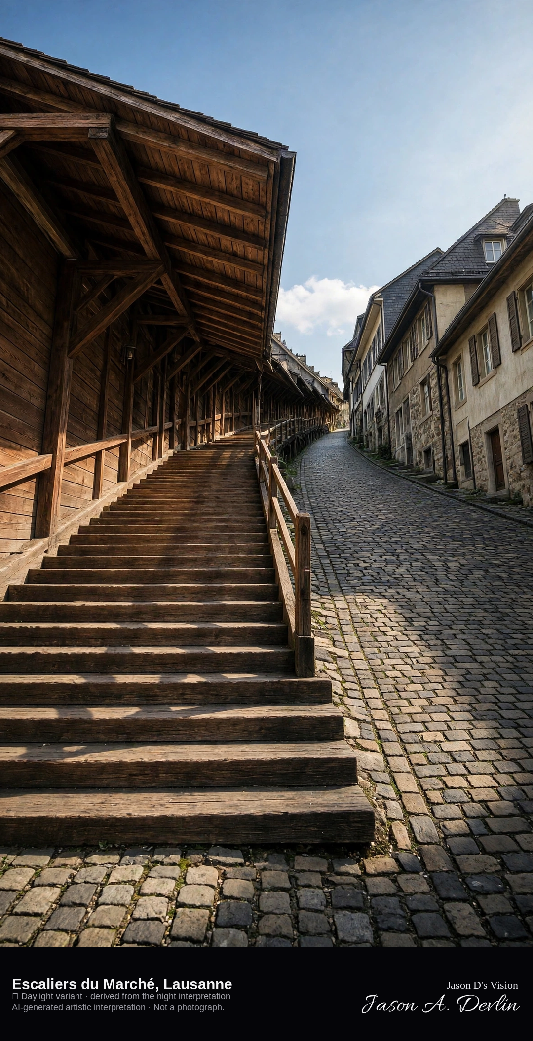
Covered wooden Escaliers du Marché and the steep lane in Lausanne · AI-generated artistic interpretation
The Escaliers du Marché are the covered wooden stairs that climb from the foot of Rue Mercerie toward the cathedral parvis in Lausanne, beside a steep paved lane and a row of tall houses. The present flights date from 1717 to 1719, and Rue Pierre-Viret crosses the upper part. This is the stair, not the cathedral front and not Ouchy. The Open-Meteo model is overcast and mild, about 19°C, with a breeze and no precipitation, and the sun is below the horizon.
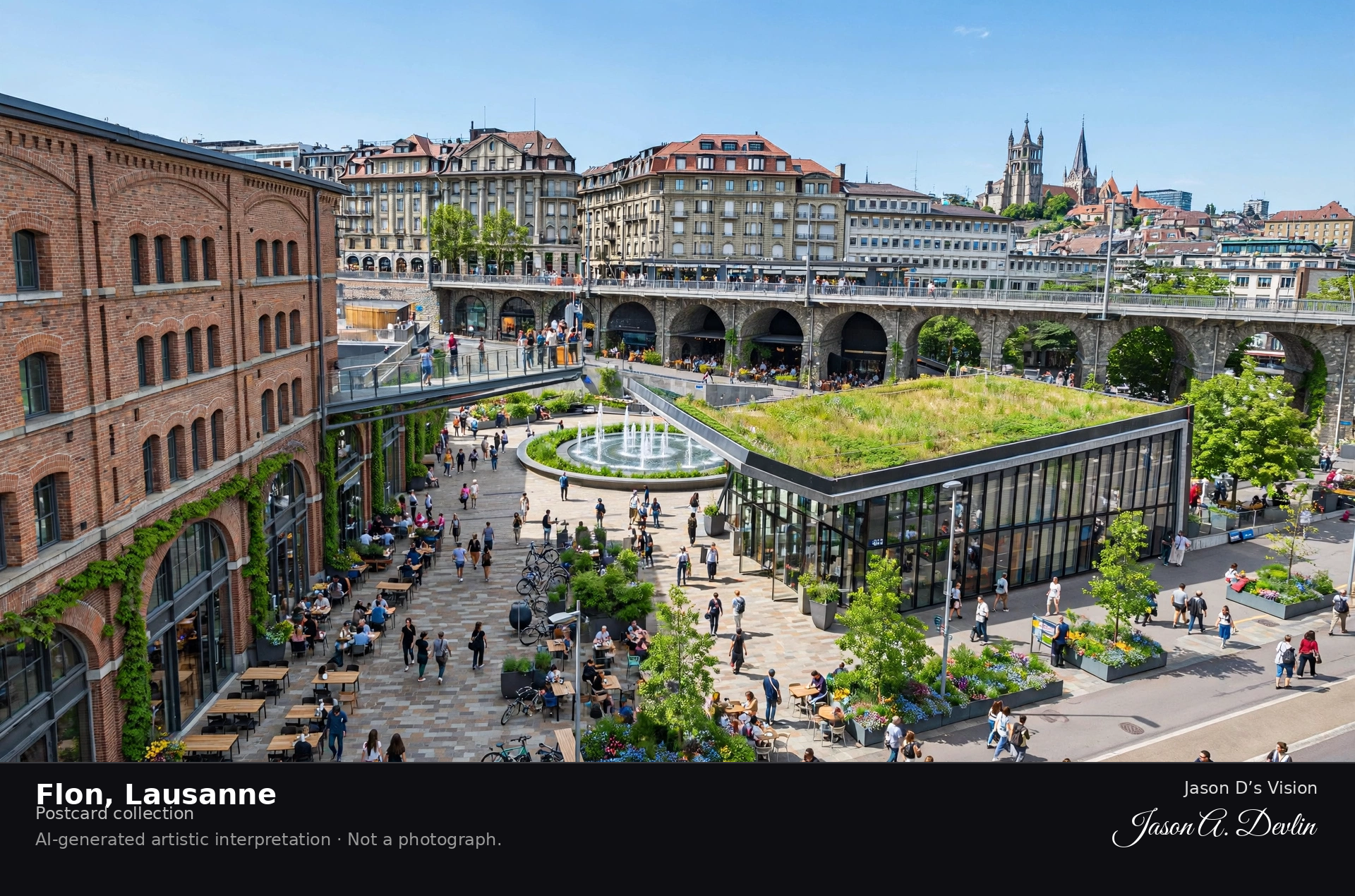
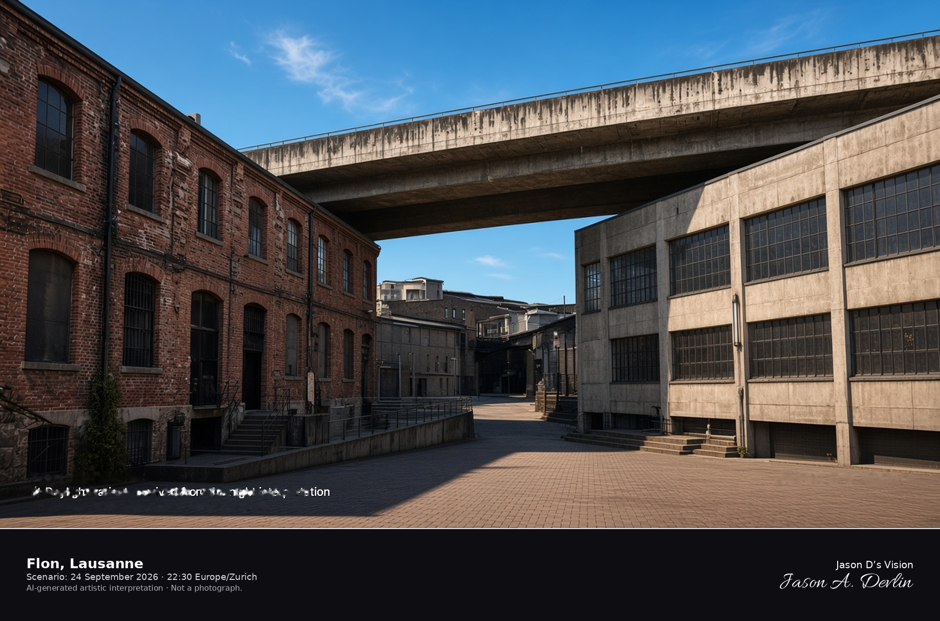
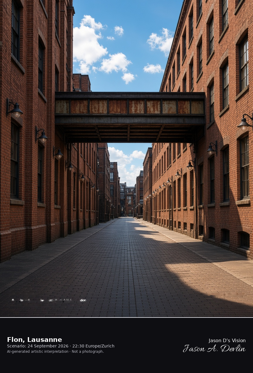
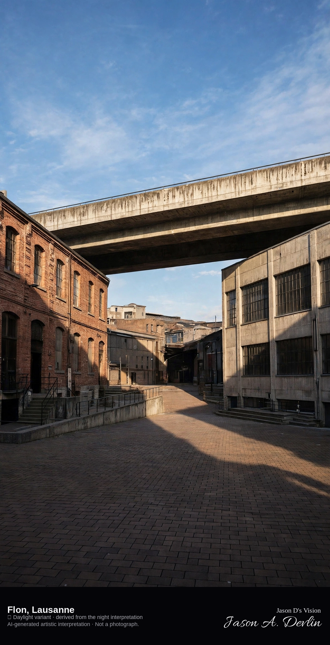
Pedestrian streets and warehouse buildings of the Flon in Lausanne · AI-generated artistic interpretation
The Flon is the pedestrian district in the old riverbed in Lausanne, where converted warehouses and bridges sit below the surrounding streets. It is not the cathedral hill and not the Ouchy quay. The Open-Meteo model is overcast and mild, about 20°C, with a breeze and no precipitation, and the sun is below the horizon.
Every image in Jason D's Vision is free to use for any purpose — personal or commercial. No credit is required. If you'd like to credit, 'Jason D's Vision' is appreciated, but it's entirely your choice.
Jason D's Vision waives its own rights in these images. This doesn't waive anyone else's rights: if an image happens to include a trademark, logo, or other third-party material, those rights still belong to their owners. All images are AI-generated artistic interpretations, not photographs, and use of an image doesn't imply endorsement by Jason D's Vision.